 Block
BlockFrom the record
17 National Register listings published here.
Sources: the National Register database, National Park Service
62 topographic sheets cover 37 settlements here, and 17 properties are on the National Register of Historic Places.
17 National Register listings published here.
Sources: the National Register database, National Park Service
Every property in this county listed on the National Register of Historic Places, with the year it was listed and the federal nomination document.
| Photograph | Property | Type | Listed | Reference |
|---|---|---|---|---|
 | Arnot House | building | 1979 | 79002970 |
| Dial-Williamson House | building | 1979 | 79002971 | |
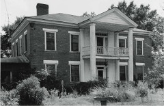 | Edgemont | building | 1977 | 77001449 |
 | First Methodist Church | building | 1980 | 80004133 |
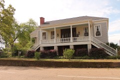 | Fry-Barry House | building | 1978 | 78002950 |
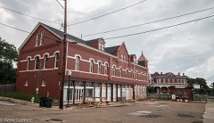 | Ginocchio Historic District | district | 1974 | 74002076 |
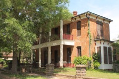 | Hagerty House | building | 1978 | 78002951 |
 | Harrison County Courthouse | building | 1977 | 77001450 |
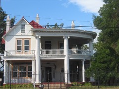 | Hochwald House | building | 1983 | 83004487 |
| Locust Grove | building | 1979 | 79002969 | |
 | Marshall US Post Office | building | 2001 | 01000435 |
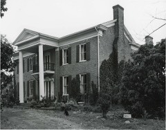 | Mimosa Hall | building | 1978 | 78002949 |
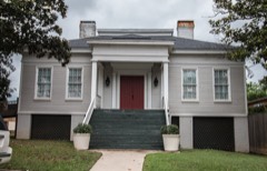 | Old Pierce House | building | 1973 | 73001965 |
 | Starr House | building | 1979 | 79002972 |
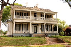 | John R. Stinson House | building | 1979 | 79002973 |
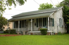 | James Turner House | building | 1979 | 79002974 |
 | Weisman-Hirsch House | building | 1983 | 83004488 |
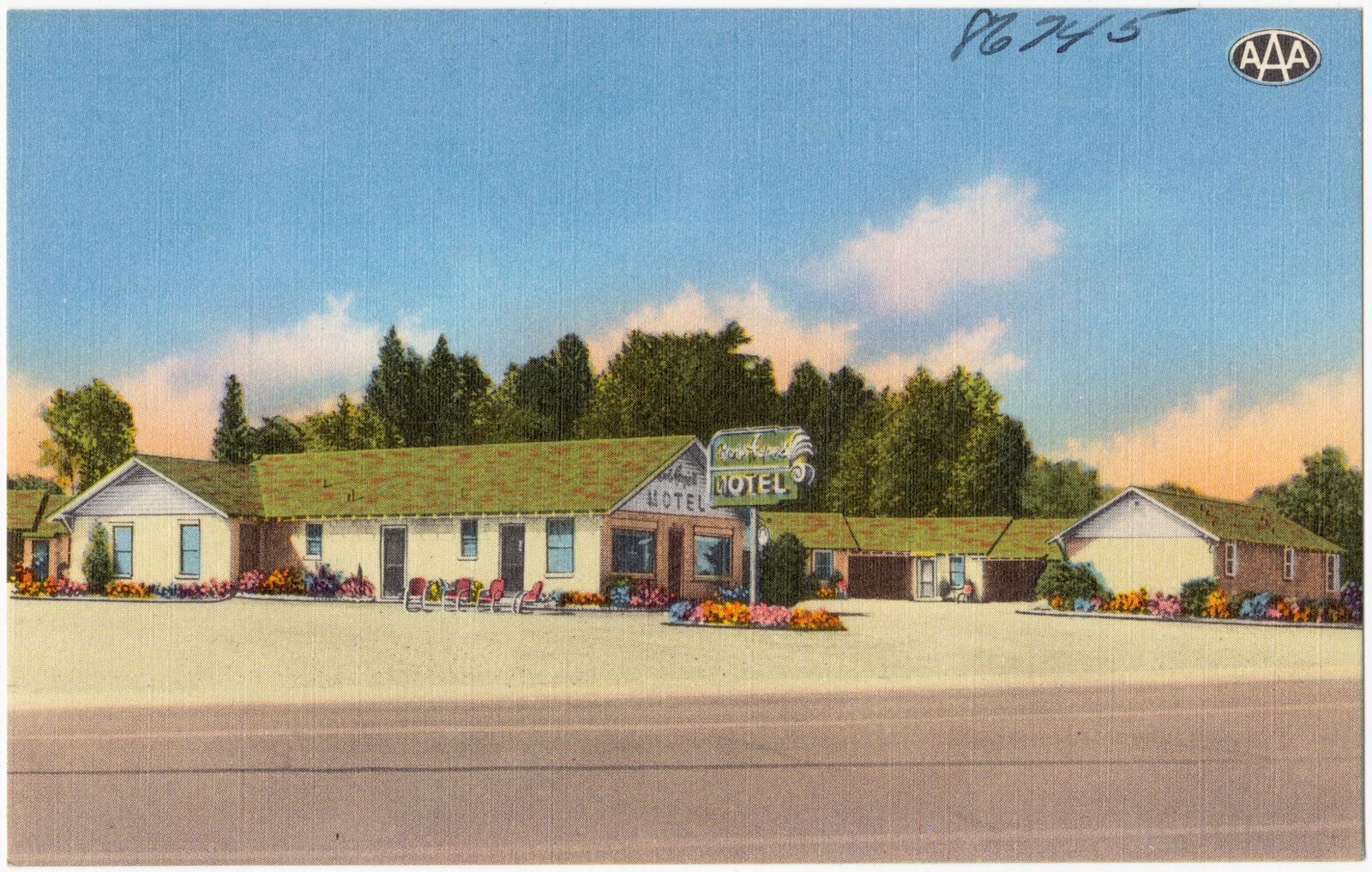
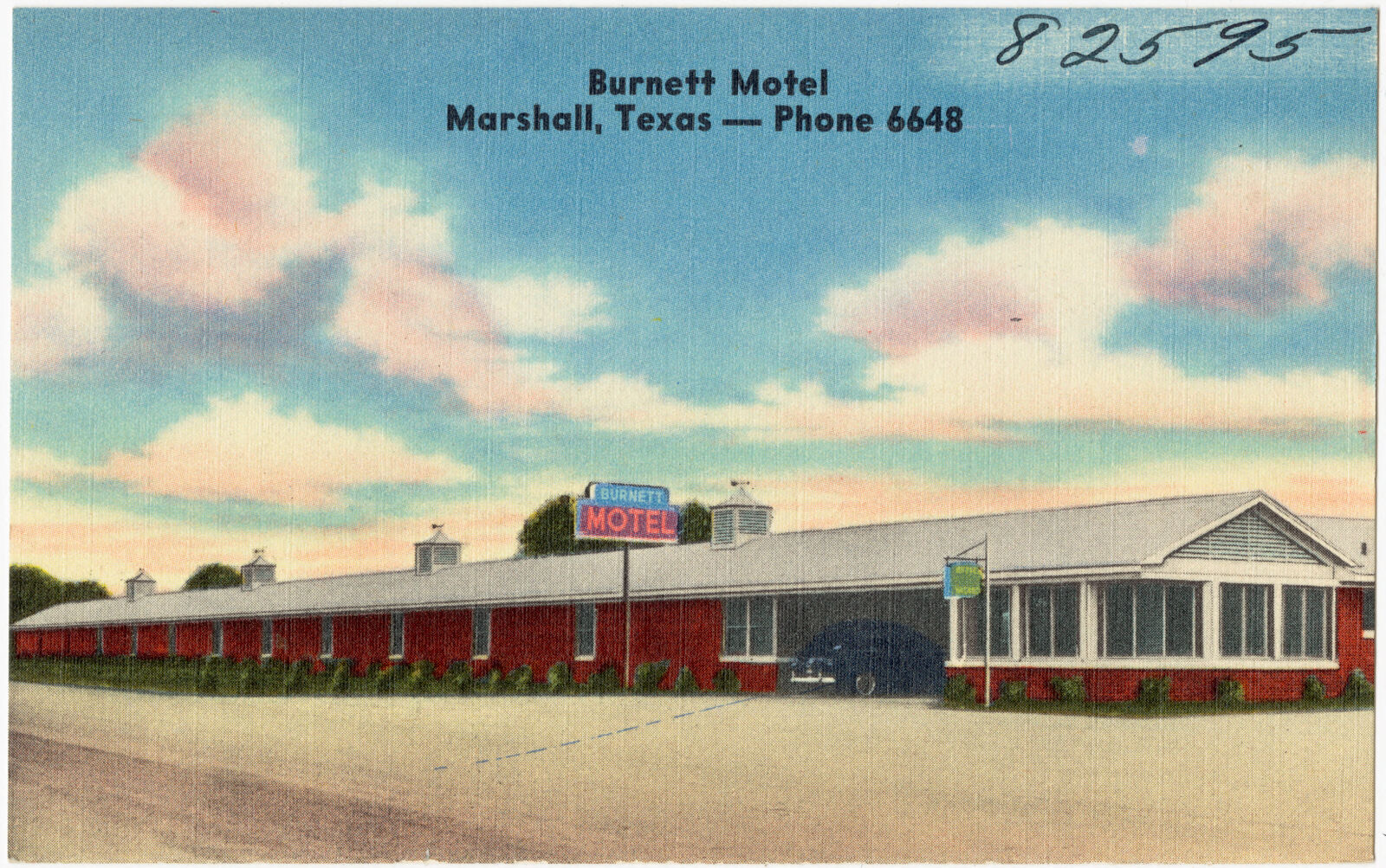
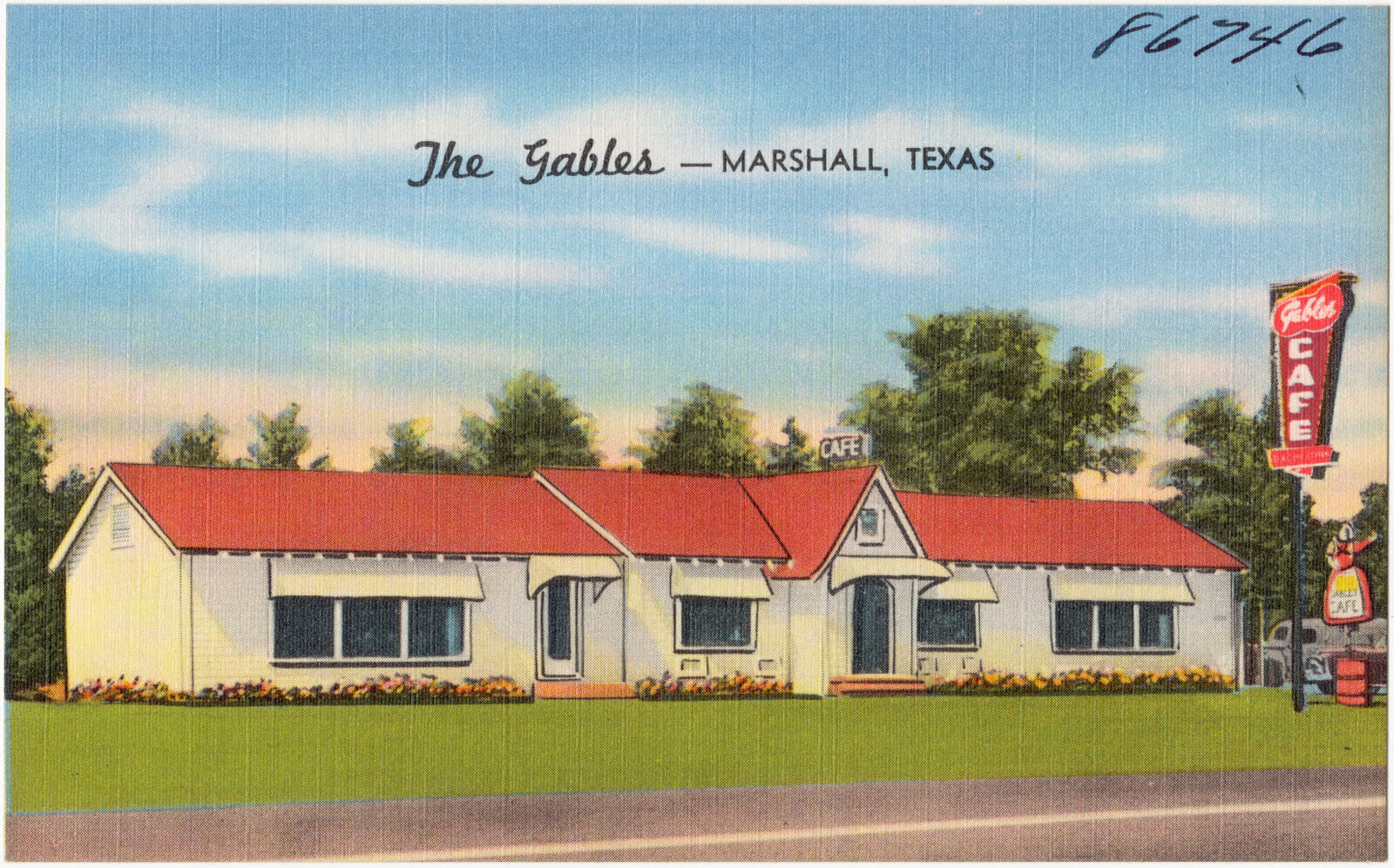
Drawn when these were printed as single large sheets: the town seen from the air, and the county divided into its farms with every owner named. Each opens the original at the Library of Congress.
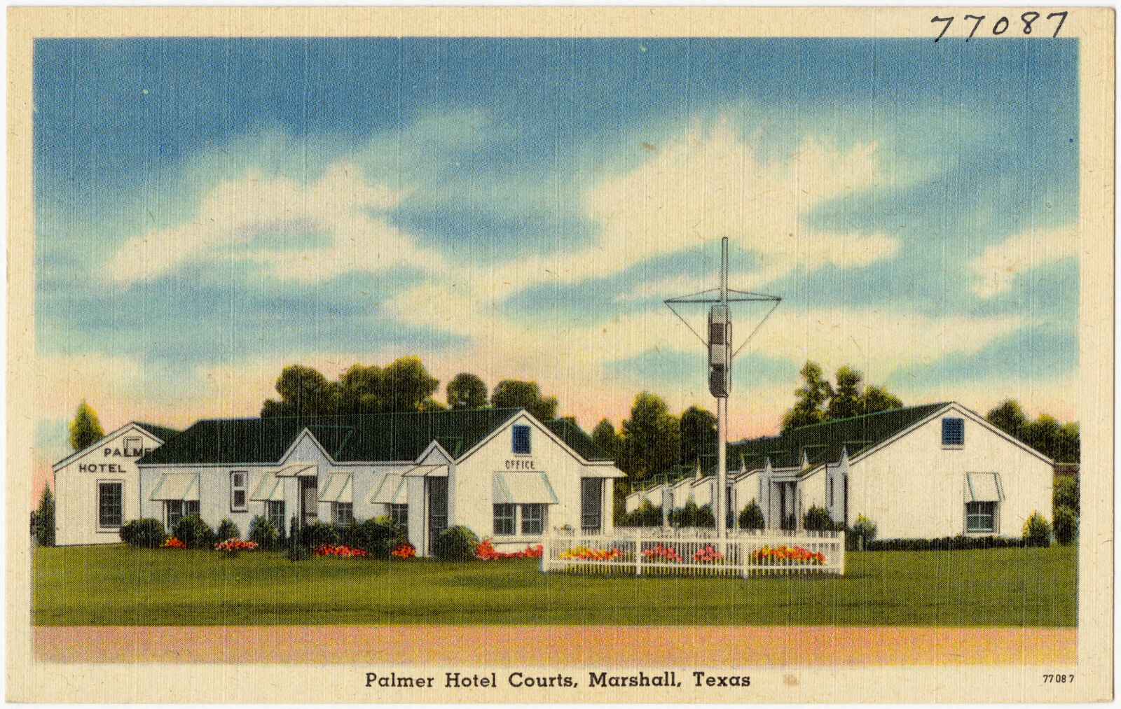
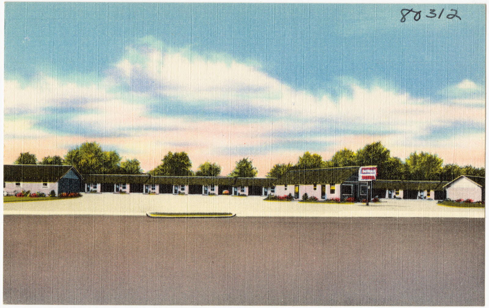
Selected from the Digital Public Library of America's 10 image records catalogued for this county. Every one shown here carries a public-domain status or a licence that permits reuse on a site that carries advertising; non-commercial, share-alike and restricted images are excluded. The selection is spread across the county's towns (at most eight per town), so no single institution's bulk upload crowds out the rest. Each opens the holding library's record, and the complete set at the Digital Public Library of America is one click away.
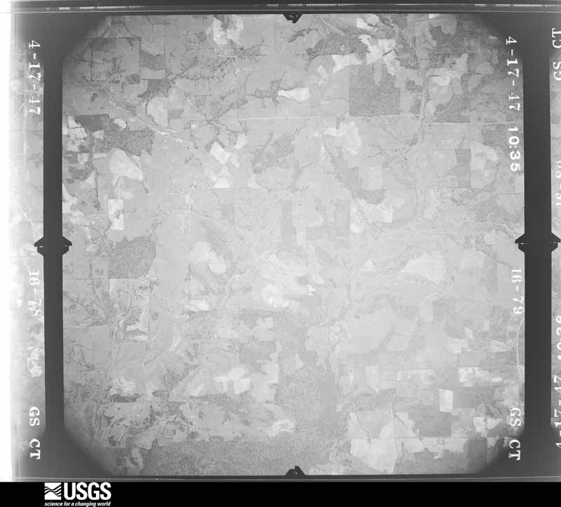
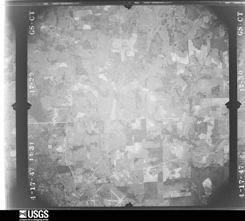
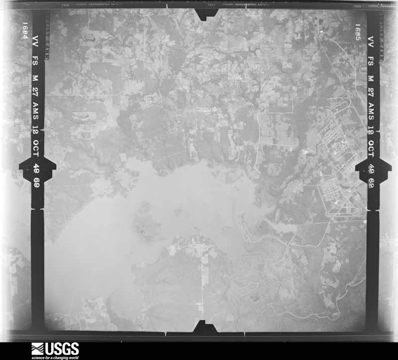
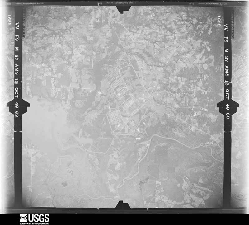
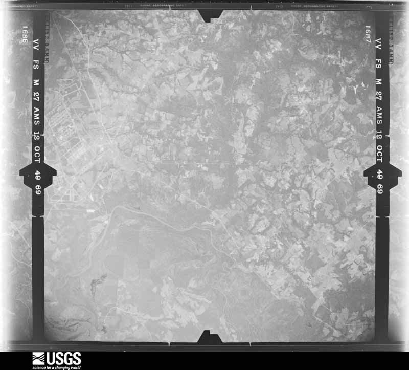
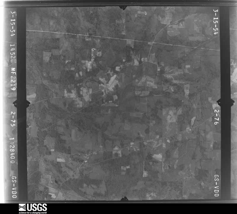
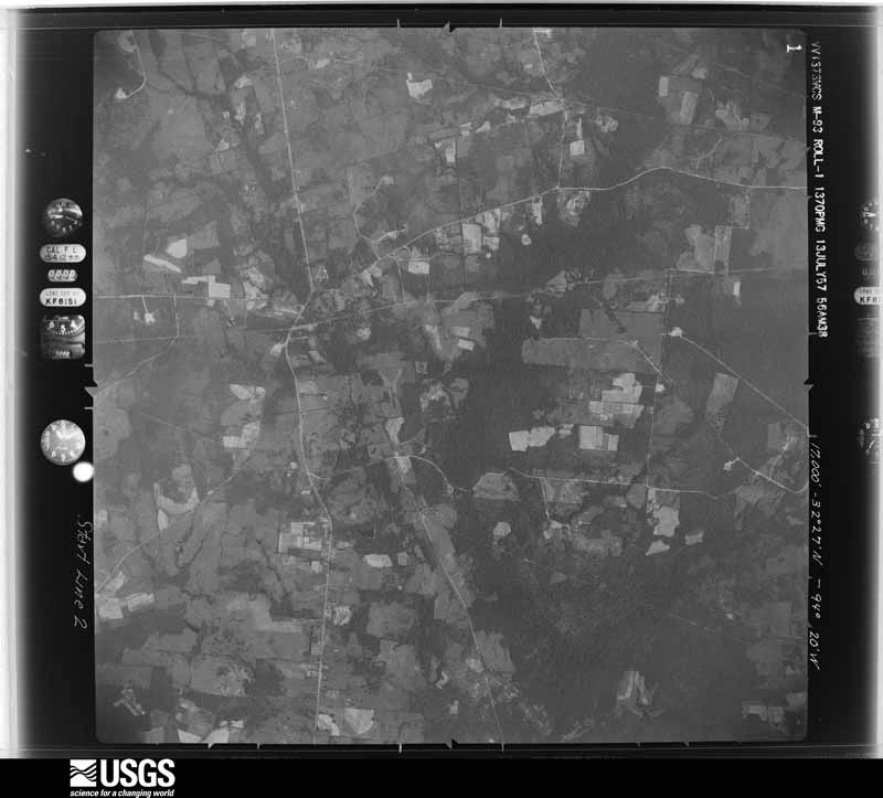
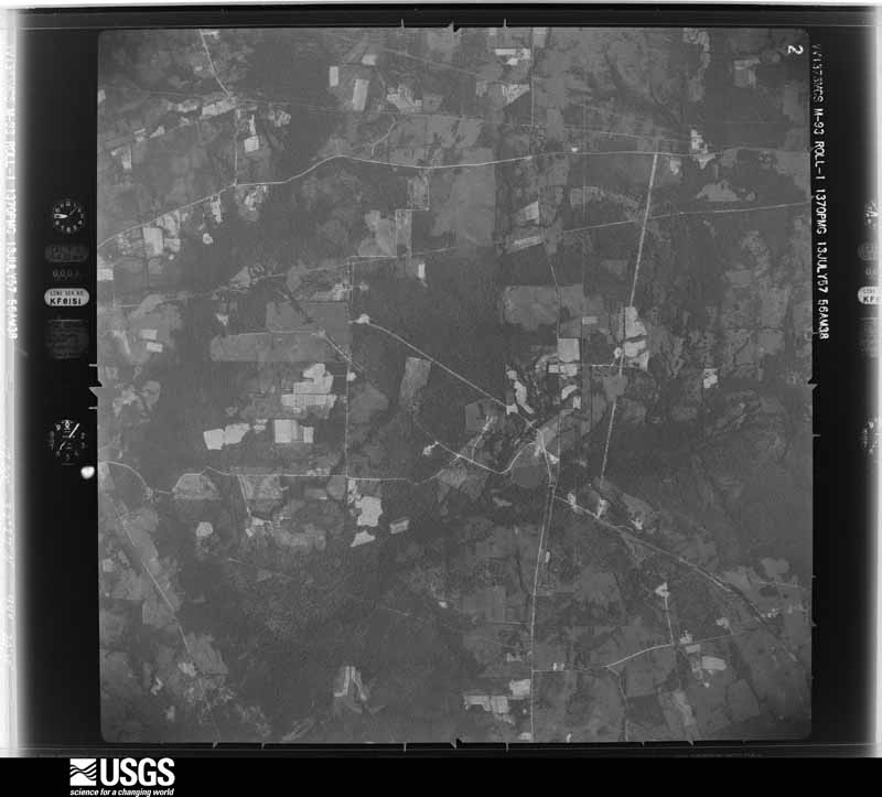
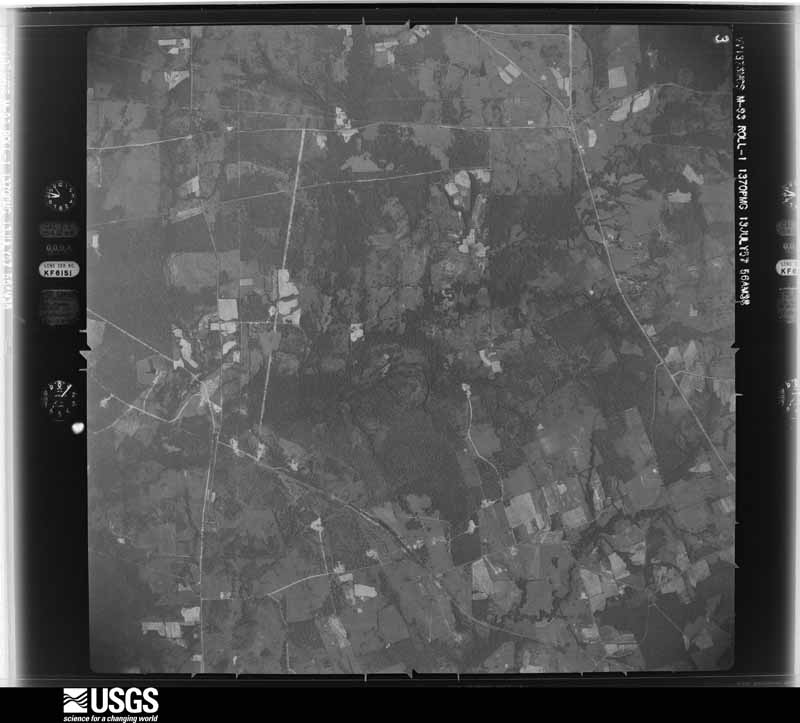
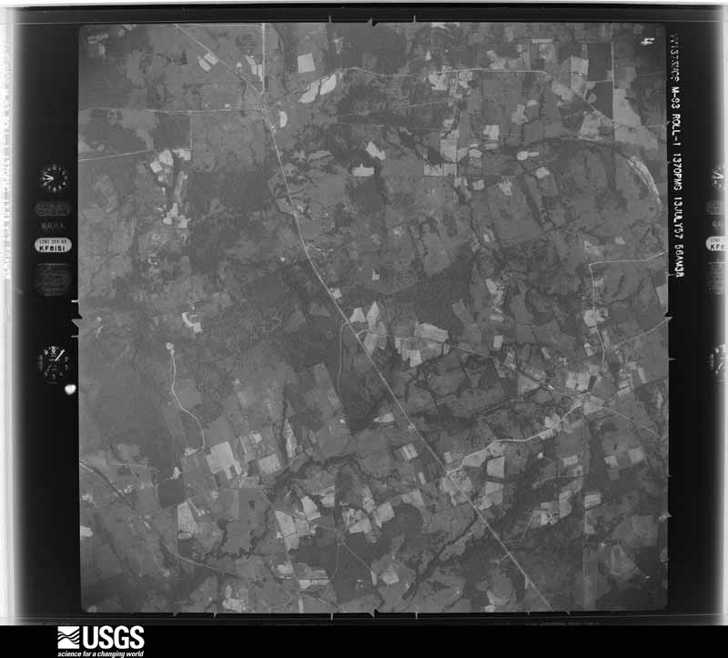
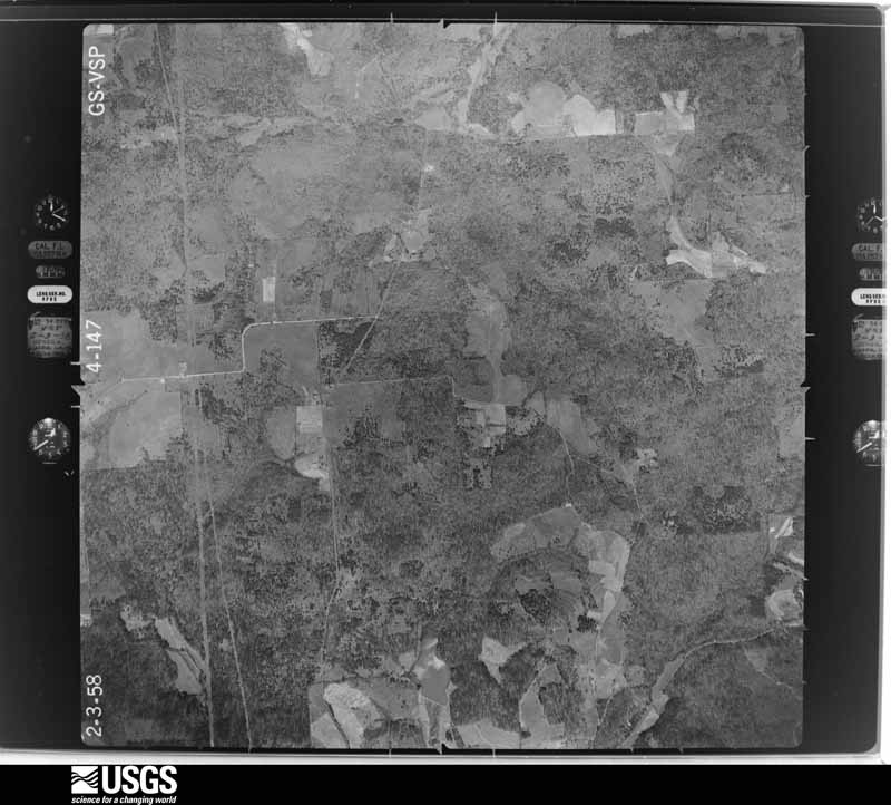
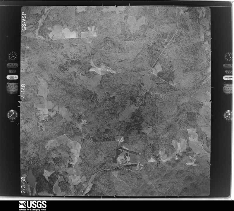
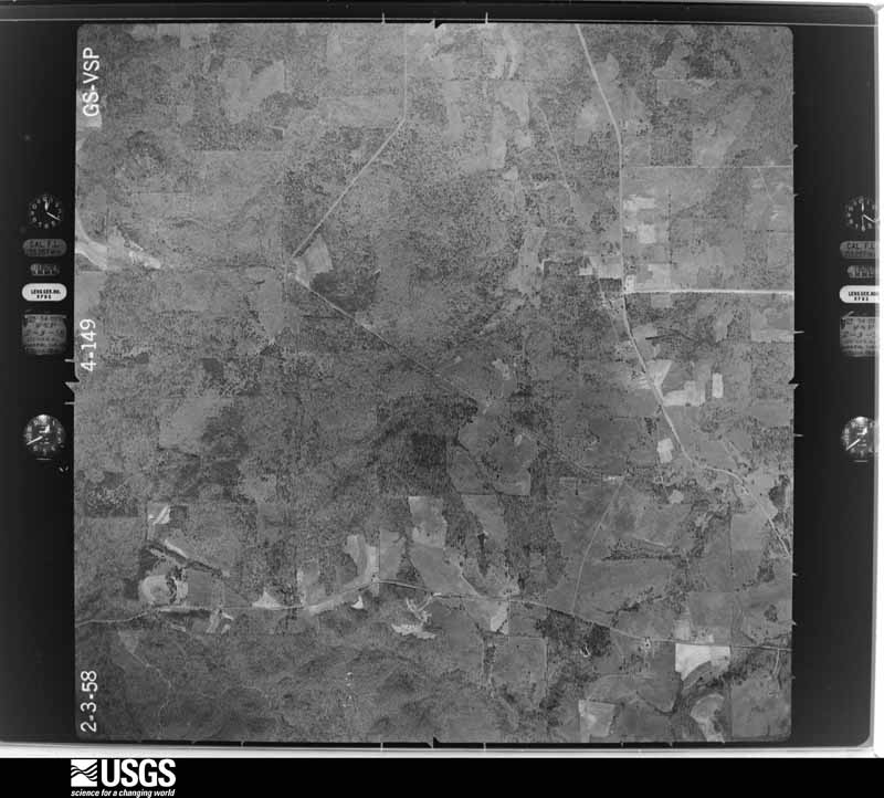
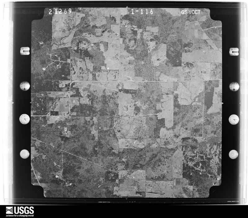
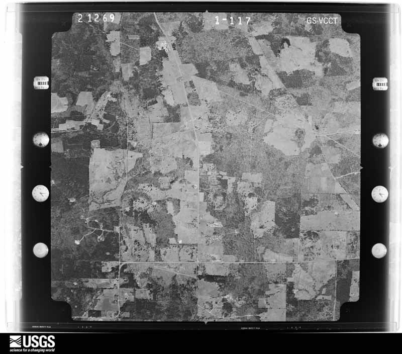
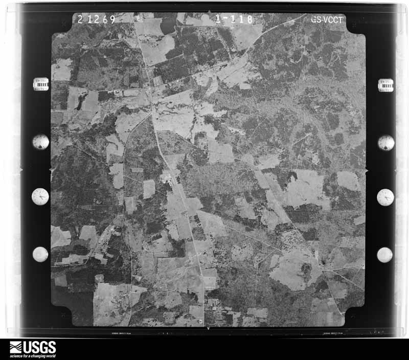
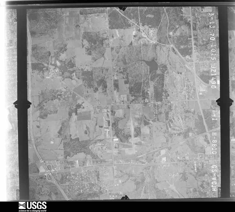
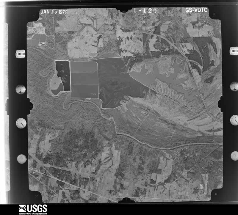
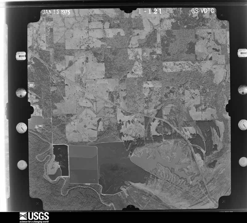
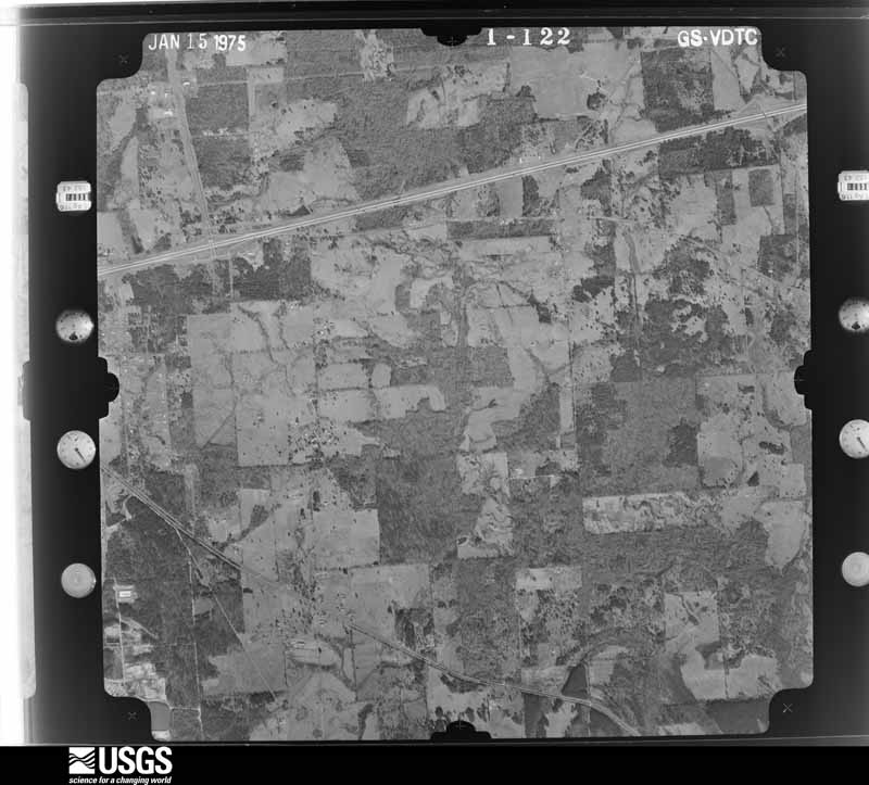
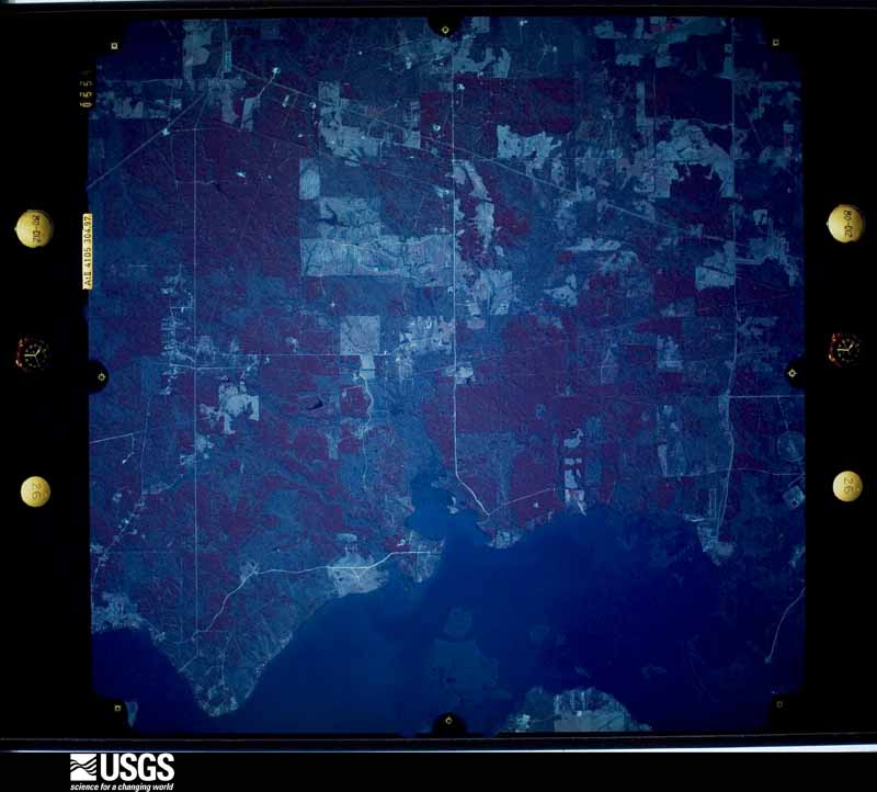
Flown by the U.S. Geological Survey between 1937 and 1989, the Aerial Photo Single Frames collection is the definitive mid-century view of the land: fields, roads and rivers as the camera saw them. The Survey holds 1,317 frames inside the rectangle that bounds this county; the 46 frames below were taken over the county itself, chosen across the decades of flights (at most four a year from that rectangle), so one flight cannot crowd out the rest. The full set is free to browse and download at EarthExplorer under the dataset Aerial Photo Single Frames.
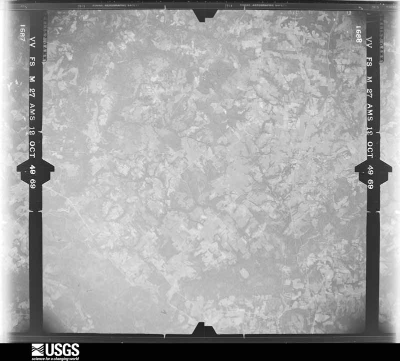
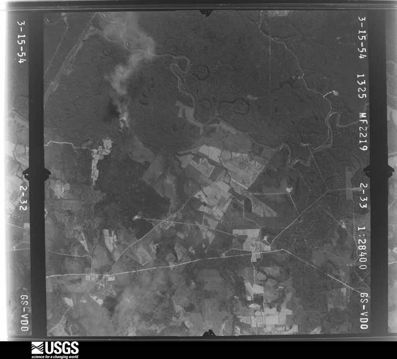
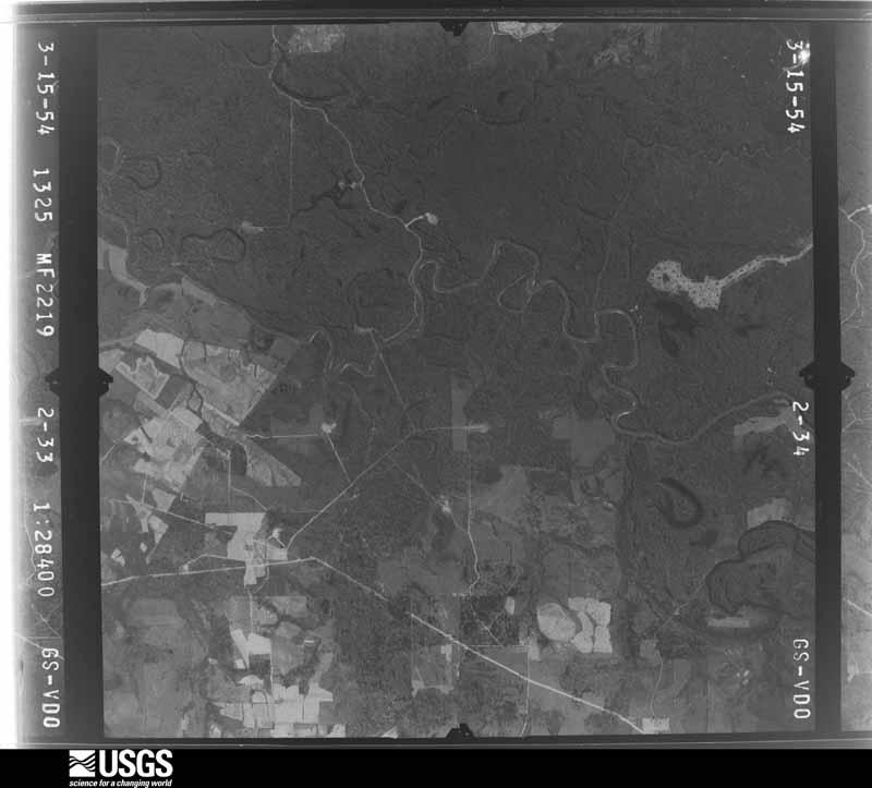
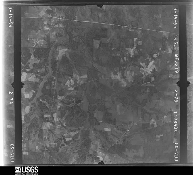
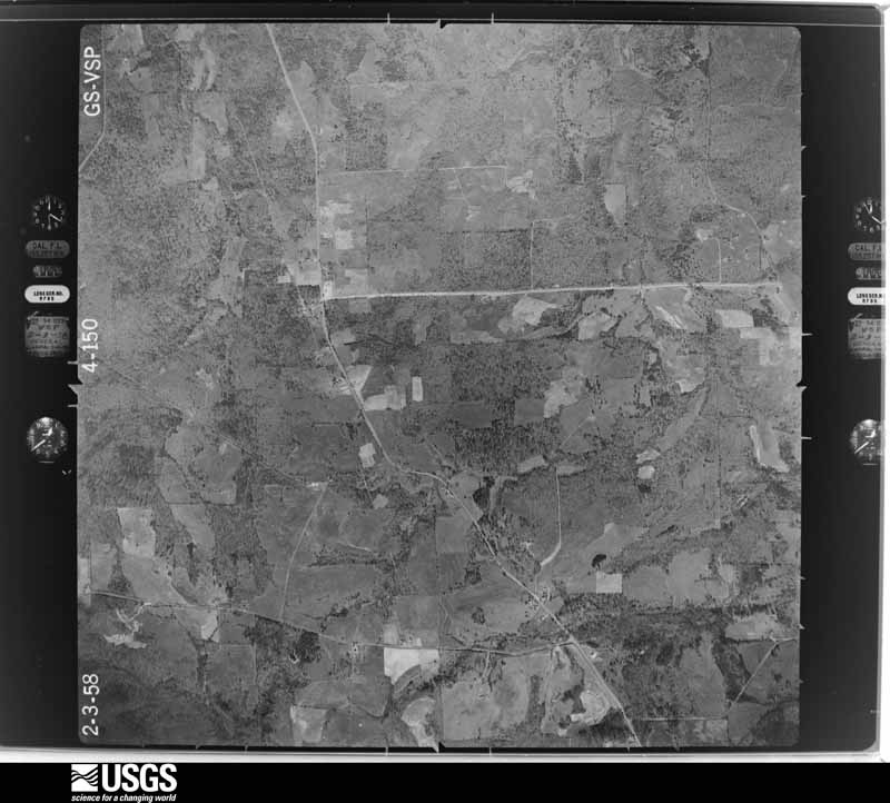

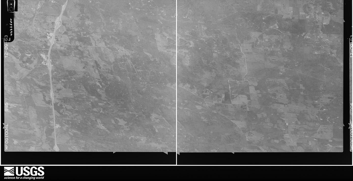

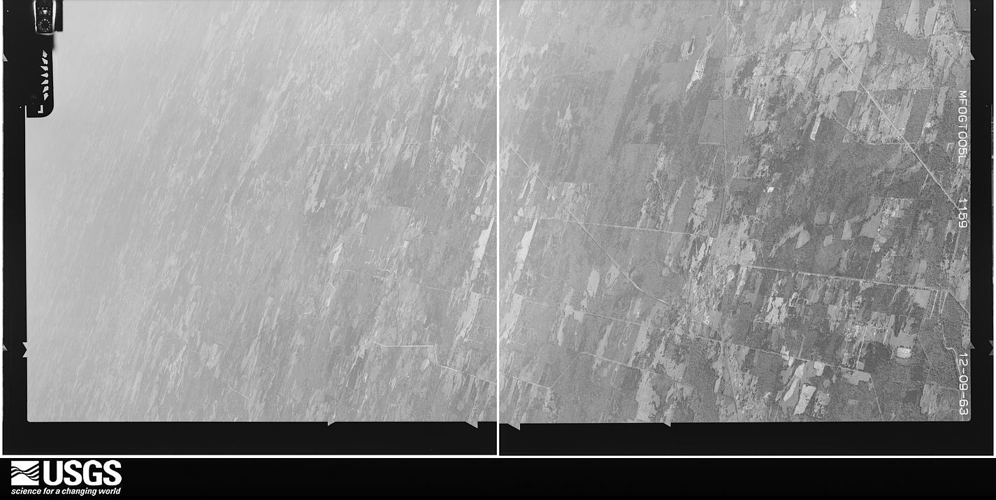
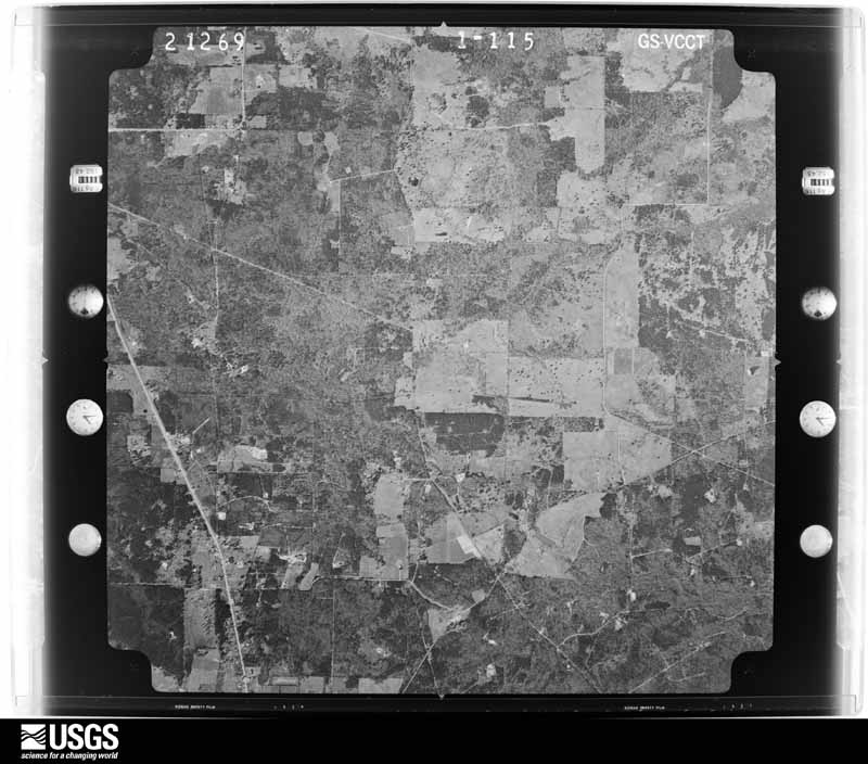
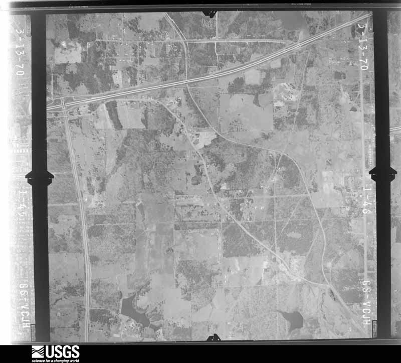
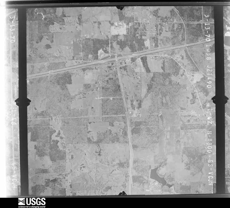
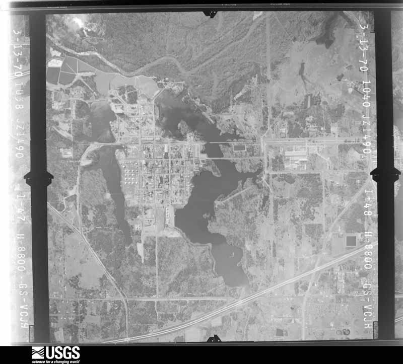
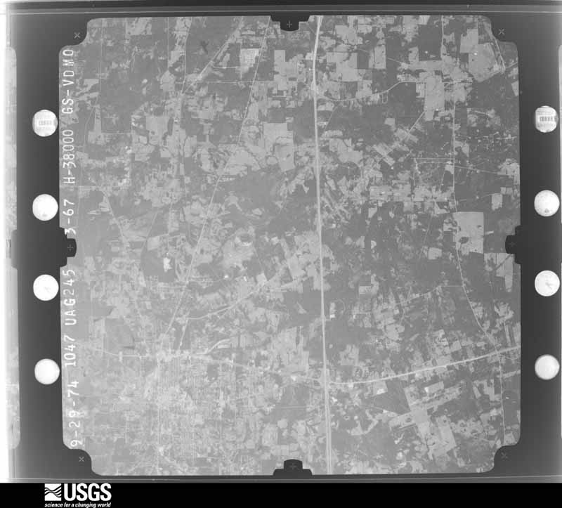
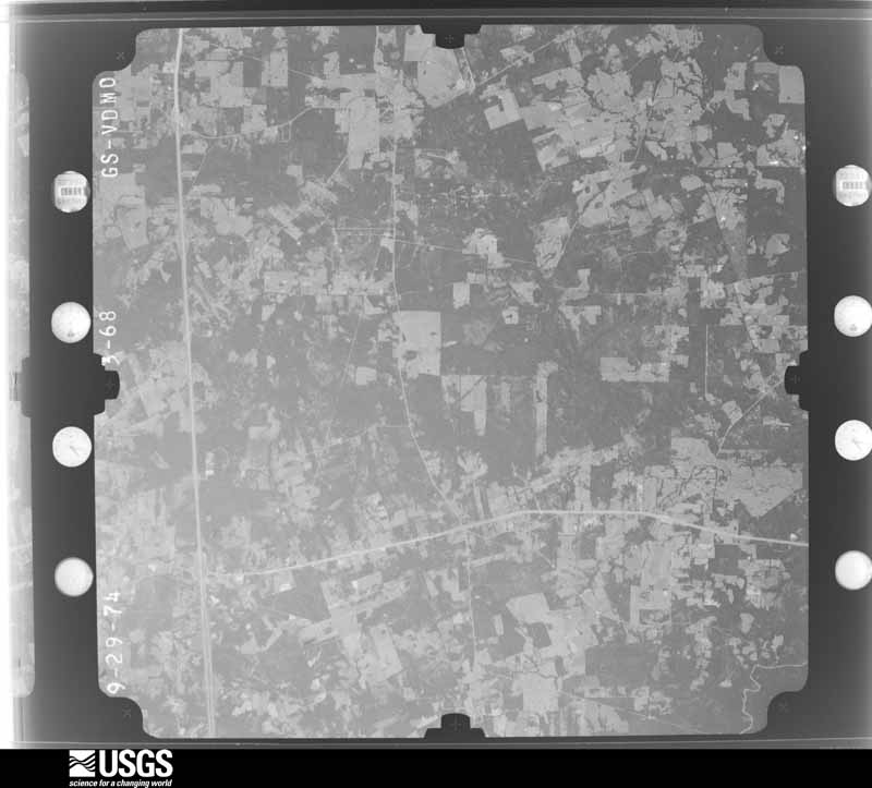
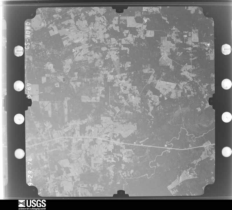
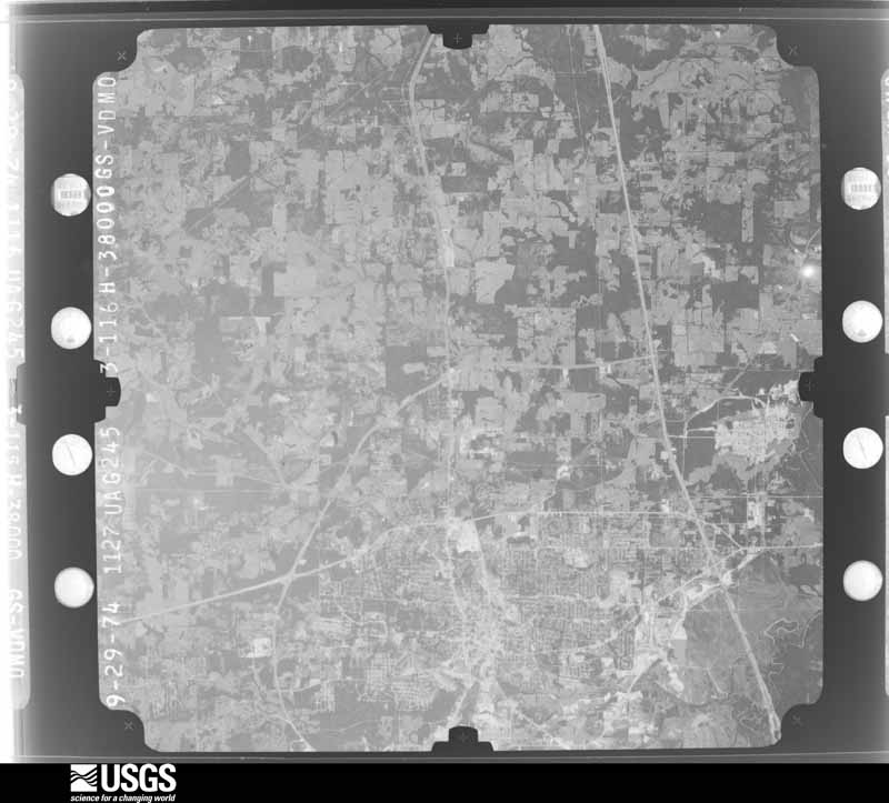
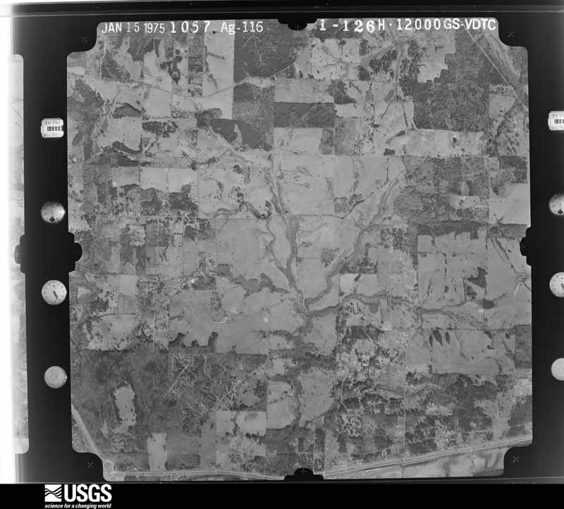


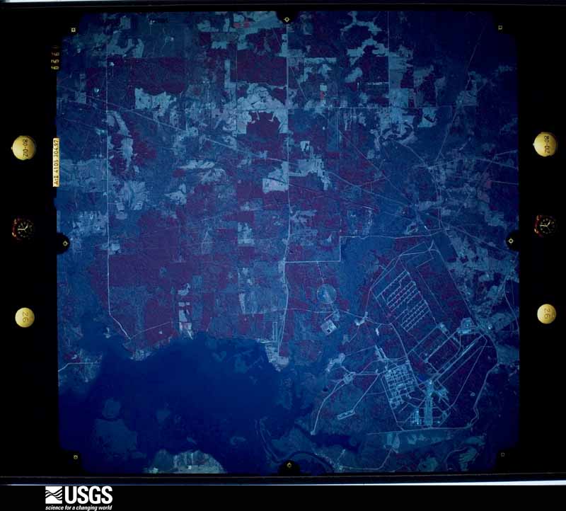
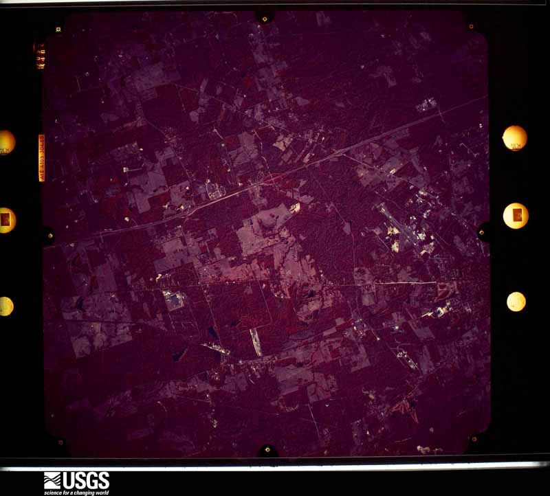



The thermometers that kept this county's weather, and the gages that measured the flow of its streams, as the federal records hold them. The extremes below are measured values from those records, not estimates.
Who lived here in 1950, one enumeration district at a time, as the Census Bureau described each district. Each row opens its official National Archives result, with Population Schedules and ED Maps available there.
Every wildfire the federal occurrence database records inside this county: 2,475 of them, burning about 20,002 acres. 99 started naturally and 123 were recorded as arson. Each settlement page carries the fires within five miles of it.
| Reported cause | Fires |
|---|---|
| Debris and open burning | 1312 |
| Missing data/not specified/undetermined | 524 |
| Equipment and vehicle use | 146 |
| Arson/incendiarism | 123 |
| Natural | 99 |
| Power generation/transmission/distribution | 91 |
| Misuse of fire by a minor | 55 |
| Smoking | 41 |
| Recreation and ceremony | 41 |
| Railroad operations and maintenance | 34 |
| Fireworks | 8 |
| Other causes | 1 |
The five largest, by the area the report gives. None of them was recorded as arson.
| Date | Cause | Size | Reported by | Name on the report |
|---|---|---|---|---|
| 5 September 2011 | Missing data/not specified/undetermined | 2,036 acres | Texas A & M Forest Service | PETERS CHAPEL FIRE |
| 11 September 2011 | Missing data/not specified/undetermined | 1,465 acres | Texas A & M Forest Service | MARSHALL |
| 20 February 1996 | Debris and open burning | 850 acres | Texas A & M Forest Service | not named |
| 15 August 2011 | Missing data/not specified/undetermined | 557 acres | Texas A & M Forest Service | AVINGER TIMBER FIRE |
| 11 February 1996 | Equipment and vehicle use | 362 acres | Texas A & M Forest Service | not named |
| 13 February 1996 | Debris and open burning | 335 acres | Texas A & M Forest Service | not named |
| 21 August 2011 | Power generation/transmission/distribution | 249 acres | Texas A & M Forest Service | WASKOM NORTH FIRE |
| 26 September 1994 | Equipment and vehicle use | 240 acres | Texas A & M Forest Service | not named |
Every settlement page carries the fires within five miles of it - see the settlement index below.
The NOAA Storm Events Database holds 899 reports for this county, causing no deaths, 17 injuries and about $76,265,010 in recorded property damage. Each settlement page carries the reports that name it.
| Kind of event | Reports |
|---|---|
| Thunderstorm Wind | 390 |
| Hail | 322 |
| Tornado | 87 |
| Flash Flood | 83 |
| Lightning | 8 |
| Funnel Cloud | 4 |
| Flood | 3 |
| Heavy Rain | 2 |
The most serious of them, by death, then injury, then recorded damage. The accounts are quoted exactly as the forecast office filed them.
| When | Event | Place named | Harm | What the report says |
|---|---|---|---|---|
| November 1994 | Thunderstorm Wind | Scottsville | 2 hurt, $50,000 | High winds blew trees down onto a road causing 5 car accidents and 2 injuries. |
| November 1994 | Thunderstorm Wind | Hallsville | 2 hurt, $50,000 | One mobile home was heavily damaged and two persons were injured by high winds. There was also considerable tree damage. Damage was estimated at over $20,000. |
| October 1972 | Tornado (F3) | not stated | 2 hurt, $25,000 | no account filed |
| February 1991 | Thunderstorm Wind | not stated | 2 hurt | no account filed |
| February 1991 | Thunderstorm Wind | not stated | 2 hurt | no account filed |
| December 1965 | Tornado (F2) | not stated | 2 hurt | no account filed |
| April 1994 | Thunderstorm Wind | Marshall | 1 hurt, $50,000,000 | Thunderstorm winds estimated at 70 miles an hour raked the south side of Marshall. Extensive roof damage was reported due to trees blown down onto homes and cars. One person was injured and admitted to the hospital. Other damage was done to commercial buildings, an apartment complex and 40 to 50 power line poles were blown down. |
| May 2013 | Tornado (EF1) | Jonesville | 1 hurt, $100,000 | This tornado began 5 miles west of Waskom and just south of I-20. The tornado caused damage to several metal buildings at Five Star Builders. The tornado then tracked east uprooting and snapping trees along its path before lifting near CR-1105. There was one injury reported with this tornado. |
| June 2002 | Lightning | Hallsville | 1 hurt | A 64 year old man was struck by lightning and was found conscious and breathing when emergency personnel arrived at his residence. The man was transported to Good Shepherd Medical Center in Longview. |
| October 2001 | Thunderstorm Wind | Marshall | 1 hurt | A tree was blown over onto a man causing extensive injuries. |
| November 1973 | Tornado (F2) | not stated | 1 hurt | no account filed |
| April 2000 | Tornado (F2) | Hallsville | $8,000,000 | A tornado developed in a high precipitation supercell as it moved eastward across the county. This supercell produced multiple tornadoes across Harrison county, TX into Louisiana. Approximately 50 homes and 2 business were damaged or destroyed. 17 homes were considered unlivable. Numerous large pine and oak trees anapped and broken. New eateries, hotels, and home development are underway in this location. |
| May 2000 | Hail | Marshall Northeast | $8,000,000 | Numerous roofs heavily damaged throughout northeast Marshall. |
| January 2010 | Tornado (EF3) | Crossroads | $1,500,000 | The tornado first touched down in a wooded area west of Ireland Williams Road. The tornado quickly intensified as it approached Interstate 20 near mile marker 628 where 2 businesses were destroyed on both the south and north services roads. One of the businesses was a metal building and the other was a mobile home. One home was completely destroyed with only a few interior walls remaining. A second home sustained major damage to the roof and carport. Debris was scattered across interstate 20 and Hwy 80. Several other homes were damaged further east along both sides of the service road. Many trees were snapped and uprooted in the areasome were snapped down close to the base. The tornado continued northeast crossing Bellview Road into Jonesville, TX where a grocery store roof was peeled and walls were blown out of a large warehouse. The tornado also damaged some metal buildings north of Jonesville along FM 134. The tornado tracked east across a wooded area snapping and uprooting trees crossing FM 9 headed east into Caddo Parish in LA. Maximum winds are estimated at 150-160 mph. |
| January 2017 | Tornado (EF2) | Scottsville | $1,000,000 | An EF-2 tornado with winds estimated near 120 mph touched down along Highway 80 near Scottsville, snapping and uprooting numerous trees and downing power lines along its track as it crossed Farm-To-Market Road 1998. Much of the tornado's destructive damage occurred along Trammel Lane (Haggerty Road) where trees were snapped/downed on several homes. One home had much of its roof removed, with a small mobile home nearby completely blown away. The tornado continued north northeast along Harkins Lane where more trees were snapped and uprooted. The tornado finally lifted on Cowpen Road. |
| April 2009 | Tornado (EF1) | Harleton | $1,000,000 | This storm developed over western Harrison County, about 7 miles northwest of Hallsville. This tornado first touched down just west Of Will Smith Road at around 9:13 pm, snapping and uprooting numerous trees along the road, with a tree landing atop a mobile home. The tornado continued east, crossing FM 450 near PR 4432 (Charles John Dr.), where several homes were damaged by falling trees, with their windows blown out. A couple of travel trailers were blown off of their locks, while a 14x28ft shop was shoved 2 feet off its foundation. The tornado lifted at approximately 9:23 pm, about 250 yards east of FM 450. This tornado was rated an EF1, with winds of around 100 mph. The path length was 3.1 miles, with a path width of up to 200 yards. |
| December 2009 | Tornado (EF2) | Longview Hgts | $1,000,000 | An EF2 tornado touched down on the East side of Longview, just west of the intersections of E Cotton Street. and Industrial Drive. The tornado then tracked north northeast causing damage to several industrial buildings along Industrial Drive, it crossed Industrial Drive just south of Hwy. 80 causing significant damage to the Fed Ex building and other surrounding industrial businesses. The tornado then crossed Hwy. 80, causing significant tree and roof damage to several homes in a residential neighborhood. The track continued north northeast as the tornado crossed Loop 281 just south of Page Road. The tornado caused major roof damage to a home on Page Road before continuing northward. The storm continued to cause tree and roof damage in a residential area before crossing Peter Bonner Road near Sandy Lane. More tree and roof damage was observed as the storm tracked into a rural area, ending south of FM 449 on Keasler Road around 4:56 PM. |
| November 1994 | Thunderstorm Wind | Marshall | $500,000 | Numerous trees and power lines were blown down by high winds. Trees were blown down onto at least 30 homes causing over $100,000 damage. |
| May 2015 | Tornado (EF1) | Marshall Arpt | $300,000 | National Weather Service Storm Survey Team determined that damage on the east side of Marshall Texas was consistent with that of a tornado. An EF1 tornado touched down on the south southeast side of Marshall and traveled almost due north. Numerous trees and powerlines were downed along the tornadoes patch and several homes had damage to them, mainly from fallen trees. |
| April 2015 | Tornado (EF1) | Longview Hgts | $300,000 | An EF-1 tornado touched down 6.5 miles northwest of Hallsville, Texas and traveled nearly 4.5 miles before lifting 4.5 miles north northwest of Hallsville, Texas. Several homes received significant damage near the intersection of Wanda Lane and Curtis Black Road, but it was mainly caused by trees falling on them. |
| December 2015 | Tornado (EF2) | Marshall Northeast | $300,000 | An NWS Storm Survey team determined that storm damage north of Marshall near the Woodlawn community was consistent with that of an EF-2 tornado. This tornado began along Suburban Acres Road and then moved north where it damaged several homes and outbuildings along FM. 1793. Several more homes and outbuildings were damaged along Blackjack Road and Pope City Road as the tornado continued north. The tornado lifted along FM 134 just before reaching the Little Cypress Bayou. |
| April 2011 | Tornado (EF2) | Gill | $300,000 | A few trees were snapped at their base and had large limbs broken off with the initial touchdown along FM 2625 just west of Highway 59. The tornado continued northeast paralleling FM 2625 causing sporadic tree damage until it reached the intersection of FM 2625 and Taylor Road. The tornado strengthened rapidly in a short timeframe causing EF2 damage to two residential homes and EF1 damage to a third. One house completely lost its roof while another had an entire room destroyed. The third home had its metal roof peeled off while sustaining partial wall failure. Numerous trees in the vicinity of the homes were completely toppled or had their tops sheared off. The tornado continued to the northeast where it intersected Blocker Road near FM 2625 causing various amounts of tree damage to several trees there. The tornado continued to the northeast dissipating over a logging road a mile to the east of Blocker Road. Maximum winds were estimated at 120-125 mph. |
| January 2010 | Tornado (EF1) | Harleton | $300,000 | A NWS storm survey team determined that the damage near Harleton, Texas was consistent with a short lived tornado. Two brick buildings sustained minor roof and structural damage, and a grocery store sustained some roof and awning damage. Several trees were also uprooted. |
| April 2009 | Tornado (EF1) | Jonesville | $250,000 | This storm developed over eastern Harrison County about 6 miles northwest of Waskom. This tornado first touched down about one half mile west of FM 134, continuing east across FM 9 about 3 miles north of Waskom, before entering western Caddo Parish. Numerous trees were uprooted and snapped, especially east of FM 9, and across Highway 169.|There were some homes damaged from fallen trees and also from the tornado itself near Masters Road in east central Harrison County. |
| April 1999 | Thunderstorm Wind | Marshall | $250,000 | North to south oriented multi-cellular squall line produced a significant microburst with damage to light to moderate damage homes and businesses. Numerous large trees toppled and snapped crushing cars and damaging roofs. One eye witness described as everything suddenly went horizontal, rain and debris. |
| February 1991 | Tornado (F2) | not stated | $250,000 | no account filed |
| October 2009 | Thunderstorm Wind | Marshall | $200,000 | Trees were downed onto powerlines, a few homes as well as on a few cars. Roof damage was reported to several buildings and commercial signs. Most of the damage was on the north side of the city. |
| May 1998 | Thunderstorm Wind | Marshall | $200,000 | Assisted living center under construction in east Marshall was torn down by high thunderstorm winds. |
| April 2020 | Tornado (EF1) | Gill | $150,000 | An EF-1 tornado with estimated maximum winds near 105 mph touched down just southwest of the Crossroads community near the intersection of Mercer and Eddington Roads, where several trees were snapped. The tornado continued northeast across FM 31 near Hays Road, where multiple trees were snapped and uprooted. A tree also fell on a home, but fortunately, the residents inside were not injured. The tornado tracked northeast, crossing FM 2525, Webb Rogers Road near Sneed Road, and Ireland Williams Road, snapping numerous large limbs and trees. The tornado crossed Interstate 20 and Highway 80, snapping additional large limbs, before lifting near Bellview Road. |
| May 2015 | Thunderstorm Wind | Leigh | $150,000 | National Weather Service Storm Survey Team determined that damage across Northeast Harrison County was consistent with that of straight line wind damage to near 90 mph. Numerous trees and powerlines were downed in and around the Karnack and Uncertain Texas communities. Some of these trees fell on homes in the area as well. |
| May 2019 | Tornado (EF1) | Marshall Northeast | $125,000 | An EF-1 tornado with maximum estimated winds around 105 mph developed within a squall line of thunderstorms that produced sporadic straight line wind damage mainly to trees across Northern Harrison County. The tornado touched down a few miles west of Highway 59 on FM 1997, tracking east across County Road 4000 where several trees were snapped and uprooted. As the tornado crossed Highway 59 along the north side of Suburban Acres Road, numerous hardwood trees were snapped with a few homes receiving roof damage due to trees or large limbs falling on the structures. The tornado continued to uproot and snap several more trees before crossing County Road 2012, and lifting shortly thereafter. |
| September 2001 | Lightning | Marshall | $120,000 | Lightning struck a 100 year old church which caught fire and burned to the ground. |
| May 2015 | Flash Flood | Harleton | $100,000 | Harrison County Sherriff's Office reports multiple roads washed out between Marshall and Nesbitt, and Marshall and Hallsville. |
| October 2009 | Flash Flood | Marshall Northeast | $100,000 | Several cars were stalled out due to high water. |
| July 2009 | Flash Flood | Harleton | $100,000 | Widespread flash flooding was reported with over 50 roads across the county closed at one point. Water ranged from one to three feet deep across most roads. Some of these roads were washed out including Walker's Mill Road, the intersection of Cox and Birmingham roads as well as Stagecoach Road. South Washington Avenue also reported some damage. |
| March 2017 | Tornado (EF2) | Darco | $90,000 | An EF2 tornado with estimated winds between 105-115 mph touched down just south of Interstate 20 just southwest of Marshall, and continued northeast across the Interstate into rural portions of Harrison County to just outside the Marshall city limits. The tornado snapped and uprooted numerous trees, pushed metal carports over, ripped roofing material off of a couple of homes, and destroyed a metal outbuilding. |
| May 2015 | Tornado (EF1) | Gill | $75,000 | National Weather Service Storm Survey Team determined that damage across Harrison County was consistent with that of a tornado. An EF1 tornado touched down south of Marshall, Texas and snapped and uprooted numerous trees. A home sustained roof damage when the wind lifted the carport portion of the roof structure. The owner also lost a 30 by 30 foot outbuilding. A warehouse also had some roof damage south of the residence. |
| February 1998 | Thunderstorm Wind | Marshall | $68,000 | Numerous reports of trees and powerlines toppled. Some trees that fell in and near the Linwood Drive Community caused minor roof damage to homes and removed some porches. Ten different locations in Marshall suffered damage with nearly 600 homes losing power. Winds measured by WCM who had porch removed from his home. |
| December 2022 | Tornado (EF2) | Elysian Flds | $60,000 | This is a continuation of the Northern Panola County EF-2 tornado. This tornado weakened slightly to a strong EF-1 with estimated maximum winds near 110 mph as it entered Southern Harrison County near the Elysian Fields community, where it continued to snap and uproot trees before crossing Old Town Road south of FM 451. A few shingles were torn off of a roof of a single family home along Old Town Road, before the tornado crossed FM 451 near CR 1212 just west of Elysian Fields High School, where it paralleled CR 1214 as it continued to snap and uproot trees, and damaged the roof of an outbuilding and destroyed another. The tornado then crossed FM 9 where it damaged a two story home, removing large portions of the roof before lifting shortly thereafter upon crossing a private road just southeast of FM 9. |
| July 2024 | Tornado (EF1) | Elysian Flds | $50,000 | This is a continuation of the Northeast Panola County tornado. This EF-1 tornado had weakened slightly to estimated maximum winds of 105 mph as it crossed over into Southeast Harrison County, where multiple hardwood trees were snapped on Don Long Road, and a tree fell along the corner of a home, damaging a wall and a portion of the roof. The tornado continued northwest crossing FM 9 about three-quarters of a mile north of FM 451, where additional trees were snapped and uprooted, and a portion of a metal roof was torn off of a home. The tornado finally lifted before reaching Waskom-Elysian Fields Road, with a total track length of nearly 28 miles from West Central DeSoto Parish, Southwest Caddo Parish, Northeast Panola County, and Southeast Harrison County. |
| April 2016 | Tornado (EF1) | Jonesville | $50,000 | An EF-1 tornado with winds estimated around 105 mph touched down along and east of County Road 2705 and just north of Farm To Market Road 134, where it uprooted several trees. It traveled north-northeast where it severely damaged two mobile homes along Bennett Road off of County Road 2705. The tornado continued north-northeast resulting in scattered tree and power line damage along Farm To Market Road 9. Additional trees were snapped and uprooted along Farm To Market Road 1999 before the tornado lifted. |
| May 2015 | Flash Flood | Longview Hgts | $50,000 | Law enforcement water rescues were ongoing from flooded vehicles on Hwy. 80 west of Hallsville, Texas. |
| May 2015 | Flash Flood | Hallsville | $50,000 | Widespread flooding along Hwy. 80 west of Hallsville. Several cars were floating in water west of town. |
| May 2013 | Tornado (EF1) | Waskom | $50,000 | This tornado touched down just south of I-20 on the southern end of Waskom just west of Magnolia Road. The tornado caused minor damage to metal buildings and equipment at Red Diamond Oilfield Services. The tornado then tracked south southeast uprooting and snapping trees along its path and causing damage to a few residential homes. The tornado lifted about 0.5 miles south of I-20 and 0.25 miles east of Magnolia Road. |
| August 2011 | Thunderstorm Wind | Karnack | $50,000 | A home in Karnack, Texas suffered significant structural damage to it's roof. |
| July 2009 | Tornado (EF1) | Crossroads | $50,000 | An EF1 tornado touched down just north of Strickland Springs Road and just east of Grimes Road. Several trees were uprooted and snapped. Some minor damage was observed to two homes and a mobile home. A vehicle was also destroyed as a tree fell on it. There were no injuries reported. One small barn completely lost its roof. Radar signature places this area directly under a couplet. Winds were estimated at 90-100 mph. |
| June 2004 | Lightning | Waskom | $50,000 | More than 5 oil storage tank batteries exploded and were on fire near Waskom. Hwy 80 had to be closed between Waskom and Greenwood Louisiana. The smoke plume rose to one thousand feet high. |
| November 1994 | Thunderstorm Wind | Elysian Fields | $50,000 | High winds blew a tree down onto a house. |
| January 2013 | Thunderstorm Wind | Marshall | $40,000 | Numerous trees and powerlines were downed throughout the county. A tree was downed on a house and a shed near Marshall, Texas as well. |
| April 1999 | Thunderstorm Wind | Marshall | $40,000 | Numerous trees and powerlines were toppled. A home lost its roof. |
| December 1999 | Tornado (F1) | Marshall | $40,000 | In southwest Marshall from just southeast of West Pinecrest Drive (hwy 43) and just east of West End Blvd to South Washington Ave to just west of East End Blvd (Hwy 59). Eyewitnesses indicated tornado was heavily rain wrapped, fast moving and very difficult to see. Tree on home. Few removed shingles. About ten large pines snapped or uprooted. Flag pole bent. Power lines down. |
| April 2016 | Tornado (EF1) | Woodlawn | $30,000 | An EF-1 tornado with estimated winds near 110 mph touched down just west of County Road 4000 about a mile north of Holmes Lake. It traveled east northeast where it intersected Highway 59 near the Karma Farm. The tornado damaged two homes there while knocking down several trees. It continued east northeast where it crossed Farm to Market Road 1793 and County Road 2106, where it leveled fields of trees. It traveled further east northeast to the Intersection of County Road 2107 and Buckhorn Road, where it continued to clear huge swaths of trees. The tornado lifted about a half mile east of this roadway intersection. |
| April 1999 | Thunderstorm Wind | Marshall | $30,000 | Winds blew the roof off a business on the west side of town along Hwy 80. |
| August 1997 | Thunderstorm Wind | Hallsville | $30,000 | Winds blew a carport roof off one home and roof damage was also reported at another resident. The Woodlawn area also reported minor damage to homes including a mobile home on FM1997 which had its roof ripped open. |
| March 2025 | Tornado (EF1) | Scottsville | $25,000 | This brief EF1 tornado with estimated maximum winds of 90 mph began at Harkins Lane and traveled eastward for approximately 1 mile just north of Farm-to-Market Road 1998. Nearly all of the damage was to softwood and hardwood trees in the form of uproots and snaps. The highest concentration of tree damage was in the neighboring Scottsville and Rock Springs Cemeteries near the start of the path. It is possible the tornado was on the|ground a bit longer than one mile, but the lack of ground access hindered the ability of the survey team to confirm this. Fortunately, there were no injuries in association with this brief tornado and the maximum width was only 100 yards. |
| July 2013 | Thunderstorm Wind | Waskom | $25,000 | A roof was partially blown off a building into some nearby powerlines on South Lake Street at Highway 80. |
| May 1978 | Tornado (F1) | not stated | $25,000 | no account filed |
| November 1959 | Tornado (F3) | not stated | $25,000 | no account filed |
| May 1958 | Tornado (F2) | not stated | $25,000 | no account filed |
| March 1955 | Tornado (F1) | not stated | $25,000 | no account filed |
The Survey's mineral resources record lists 28 workings inside this county. 20 still produce and 8 are closed or unrecorded. Each settlement page carries the workings within five miles of it.
| Commodity | Workings |
|---|---|
| Fire Clay (Refractory) | 27 |
| Clay | 1 |
The least common of them first, because a county's hundredth gravel pit says nothing its first ten did not.
| Where | Site | Commodity | Status | Recorded |
|---|---|---|---|---|
| Marshall Plant No. 2 | Clay | Producer | ||
| Cobb Pit | Fire Clay (Refractory) | Producer | ||
| Cobb White and Schriver Pits | Fire Clay (Refractory) | Producer | Sedimentary | |
| Henderson Clay Prod Pit | Fire Clay (Refractory) | Unknown | ||
| Henderson Clay Products Inc Pit | Fire Clay (Refractory) | Unknown | ||
| Henderson Clay Products Inc Pit | Fire Clay (Refractory) | Producer | ||
| Marshall Pits | Fire Clay (Refractory) | Producer | ||
| Marshall Plant & Pits | Fire Clay (Refractory) | Producer | ||
| Marshall Pottery New Plant | Fire Clay (Refractory) | Producer | ||
| Marshall Pottery Old Plant | Fire Clay (Refractory) | Unknown | ||
| Marshall Pottery Pit | Fire Clay (Refractory) | Producer | ||
| Marshall Pottery Pit | Fire Clay (Refractory) | Past Producer | ||
| Marshall Pottery Pit | Fire Clay (Refractory) | Past Producer | ||
| Monarch Tile Manufactoring Plant | Fire Clay (Refractory) | Producer | ||
| Red Clay Pit | Fire Clay (Refractory) | Producer | Sedimentary | |
| Red Clay Pit | Fire Clay (Refractory) | Producer | ||
| Reynolds Pit | Fire Clay (Refractory) | Producer | Sedimentary | |
| Reynolds Pit | Fire Clay (Refractory) | Producer | ||
| Unknown | Fire Clay (Refractory) | Past Producer | ||
| Unknown | Fire Clay (Refractory) | Past Producer | ||
| Unknown | Fire Clay (Refractory) | Past Producer | ||
| Unnamed Pit | Fire Clay (Refractory) | Producer | Sedimentary | |
| Unnamed Pit | Fire Clay (Refractory) | Producer | Sedimentary | |
| Unnamed Pit | Fire Clay (Refractory) | Producer | Sedimentary | |
| Unnamed Pit | Fire Clay (Refractory) | Producer | Sedimentary | |
| Unnamed Pit | Fire Clay (Refractory) | Producer | Sedimentary | |
| Womack Pit | Fire Clay (Refractory) | Producer | Sedimentary | |
| Womack Pit | Fire Clay (Refractory) | Producer |
Named settlements recorded in the Geographic Names Information System, each with the topographic sheets covering it. Villages, hamlets and abandoned places alike. Each is shown with the nearest named watercourse or landform and the survey quadrangle it falls on.
Waskom census division · 75661 · On Beckum Creek · Karnack quadrangle
14 sheets, 1944 to 1986
Hallsville census division · 75670 · On Roseborough Creek · Darco quadrangle
14 sheets, 1956 to 1986
Hallsville census division · 75650 · Hallsville quadrangle
13 sheets, 1956 to 1986
No longer a settlement
Waskom census division · 75672 · On Colliers Creek · Colliers Creek quadrangle
13 sheets, 1956 to 1986
Waskom census division · 75659 · On Big Sis Creek · Waskom quadrangle
16 sheets, 1943 to 1986
Hallsville census division · 75601 · Longview Heights quadrangle
13 sheets, 1956 to 1986
Waskom census division · 75661 · On Saunders Branch · Potters Point quadrangle
15 sheets, 1944 to 1986
Waskom census division · 75672 · Stricklin Springs quadrangle
14 sheets, 1943 to 1986
Waskom census division · 75661 · Near Taylor Island · Potters Point quadrangle
15 sheets, 1944 to 1986
The vanished settlements of Harrison County: the places named above that are no longer on the map.