 Block
BlockLuther, Texas
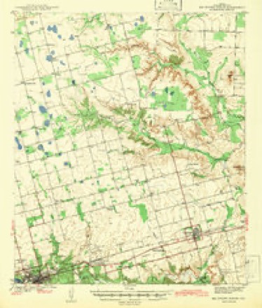
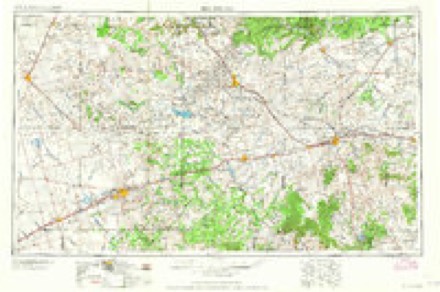
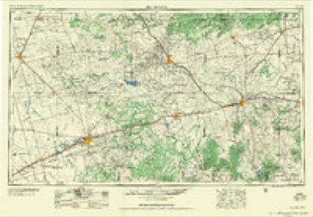
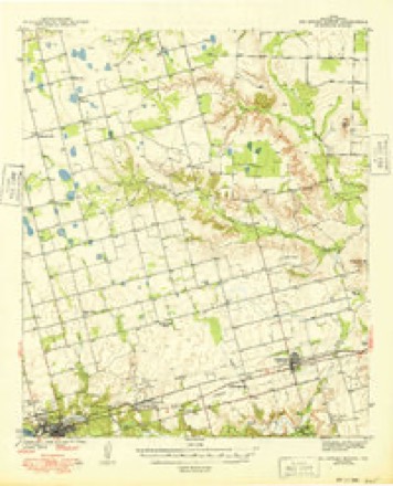
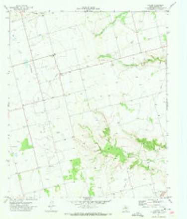
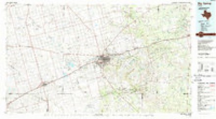
10 topographic sheets cover this place, the earliest surveyed in 1942 and the latest in 1986. It stands in the Big Spring North census division. It lies in ZIP code area 79720. The Survey maps it on the Luther quadrangle.
Topographic sheets covering this place
6 surveys from 10 printed sheetsMatched by testing this settlement's coordinate against the published boundary of every sheet in the United States Geological Survey's historical collection. Each opens the scanned sheet at the Survey.
- 1942 USGS Big Spring North quadrangle1:62500
- 1954 USGS Big Spring quadrangle1:250000, 4 printings
- 1958 USGS Big Spring quadrangle1:250000
- 1971 USGS Big Spring North quadrangle1:62500
- 1971 USGS Luther quadrangle1:24000
- 1986 USGS Big Spring quadrangle1:100000, 2 printings
Fires near this place
20 since 2005Regional context, not property-specific evidence. The federal wildfire occurrence database lists 20 fires within 5 miles of Luther between 2005 and 2020, burning about 360 acres in total. 1 started naturally. 2 were recorded as arson. Distance is straight-line from the map coordinates, so a fire counted here may appear on a neighbouring settlement's page as well.
| Reported cause | Fires |
|---|---|
| Missing data/not specified/undetermined | 7 |
| Power generation/transmission/distribution | 4 |
| Equipment and vehicle use | 3 |
| Debris and open burning | 2 |
| Arson/incendiarism | 2 |
| Smoking | 1 |
| Natural | 1 |
The most recent of them, most recent first, with the day each was reported and the service that recorded it.
| Date | Cause | Size | Reported by | Name on the report |
|---|---|---|---|---|
| 11 September 2019 | Natural | 48 acres | Texas A & M Forest Service | CR 39 |
| 4 August 2019 | Power generation/transmission/distribution | 5.0 acres | Texas A & M Forest Service | E CR 381 |
| 2 August 2018 | Missing data/not specified/undetermined | 3.0 acres | Texas A & M Forest Service | FM 846 & CR 9 GRASS FIRE |
| 3 July 2012 | Arson/incendiarism | 1.0 acres | Texas A & M Forest Service | CR 33 AND NCR 48 |
| 28 July 2006 | Equipment and vehicle use | 70 acres | Texas A & M Forest Service | not named |
| 20 July 2006 | Equipment and vehicle use | 30 acres | Texas A & M Forest Service | not named |
| 15 July 2017 | Power generation/transmission/distribution | 5.0 acres | Texas A & M Forest Service | CR 33 AND CR 40 |
| 19 June 2020 | Equipment and vehicle use | 3.0 acres | Texas A & M Forest Service | 8300 E CR 42 |
Settlements close enough to share some of these fires:
Storms near this place
18 since 1997Regional context, not property-specific evidence. The National Weather Service names Luther in 18 storm reports between 1997 and 2025: 9 hail, 4 tornado, 3 thunderstorm wind, 2 flash flood. No death or injury is recorded in these reports. Each account below is quoted exactly as the forecast office filed it, from the NOAA Storm Events Database, and each date opens the federal record of that event.
| When | Event | Place named | Harm | What the report says |
|---|---|---|---|---|
| June 2005 | Tornado (F2) | Luther | $25,000 | The long-lived tornado that developed in south-central Borden County crossed into Howard County east of County Road 41. The tornado's damage path narrowed as it moved over a hay field northeast of Luther. Three hundred round bales of hay, weighing 2,000 pounds each, were shredded by the tornadic winds. All of the hay bales were destroyed and the individual straws of hay served as small missiles, stripping mesquite trees of their bark in a thicket to the west. The tornado crossed County Road 41 about two miles south of the Howard and Borden County line. Chunks of asphalt, some up to six inches in diameter, were removed from the road's surface and deposited in an adjacent field. A 250 yard wide swath was cut through mesquite filled range land west of the road. Large mesquite trees were reduced to stumps that only stood a few feet tall, and were partially debarked. A railroad boxcar that was being used for storage was destroyed one mile west of County Road 41. The boxcar broke into three large pieces as it initially bounced along the earth, leaving large craters in the ground, and then was lofted. The three pieces were displaced a mile to the southwest from the boxcar's original location, near the end of the damage path.A National Weather Service damage survey team concluded that a significant rating (F2) was warranted based on the magnitude of tree and vegetation damage, and the lofting and displacement of the railroad boxcar. The tornadoes total path length across Borden and Howard Counties was nine miles, with a maximum path width of three quarters of a mile in south-central Borden County. |
| May 2023 | Thunderstorm Wind | Luther | $10,000 | Public report of snapped power poles along FM 846 east of Vealmoor. Location and time are estimated by radar. Wind speeds are estimated to be approximately 100 mph. Property damage is approximate. |
| May 2021 | Thunderstorm Wind | Luther | $7,000 | A thunderstorm produced wind damage near Knott. There were power poles broken and three inch tree limbs were broken. The cost of damage is a very rough estimate. |
| May 2015 | Tornado (EF1) | Luther | $5,000 | A thunderstorm moved across Howard County and produced a tornado near Luther. The tornado touched down in a rural area north of Big Spring, Texas at 3:23 pm CDT and continued generally east for a distance of 8.12 miles before lifting at approximately 3:50 pm CDT. A couple members of the Howard County Volunteer Fire Department witnessed the tornado. The only damage seen was to a couple of power poles which were snapped near the base. Based on the damage seen by the survey team, the tornado is being rated as an EF-1 with an estimated wind speed of 100 mph. The cost of damage is a rough estimate. |
| June 1998 | Thunderstorm Wind | Luther | $2,000 | Thunderstorm outflow rolled over and damaged a farm animal pen and broke a storm door. |
| May 2025 | Hail | Luther | - | A report was received from the public of dime-size hail west of Luther. |
| May 2025 | Hail | Luther | - | A report from the public was received via MPING of half-dollar size hail 4 miles west of Luther. |
| April 2025 | Hail | Luther | - | A report of quarter-sized hail was received from mPING. Time is estimated from radar. |
| May 2024 | Flash Flood | Luther | - | Report from mPING of cropland, yard, or basementflooding. |
| October 2023 | Flash Flood | Luther | - | Report received from mPING of flash flooding. |
| April 2008 | Tornado (EF0) | Luther | - | Trained spotters reported a brief tornado near the community of Luther. No damage was reported. |
| June 2005 | Tornado (F0) | Luther | - | A local television meteorologist and Skywarn storm spotters photographed a brief tornado southwest of Luther around 19:45 CST. The tornado developed along the flanking line of the evolving high precipitation supercell, or beneath a new updraft developing along the storm's southwest flank. No damage was reported. |
| May 2003 | Hail | Luther | - | Local law enforcement officials reported a swath of large hail which ranged from the size of peas to the size of quarters across the north central and northeast parts of the county. Specific reports of quarter size hail were received from both Luther and Vincent. |
| May 1997 | Hail | Luther | - | The cell that produced the hail in Luther was on the northern end of the cluster with the cell over Stanton. |
| May 2021 | Hail | Luther | - | no account filed |
| June 2017 | Hail | Luther | - | no account filed |
| June 2017 | Hail | Luther | - | no account filed |
| April 2008 | Hail | Luther | - | no account filed |
Nearest settlements
The eight closest, with where each one stands in the county. Distances are straight-line, computed from the Geographic Names Information System coordinates.
Provenance
This settlement is recorded in the Geographic Names Information System as feature 1378622. The sheet list is computed by point-in-boundary test against the United States Geological Survey's historical topographic inventory. Both are works of the United States government and carry no copyright under 17 U.S.C. 105.
Wildfire. Short, Karen C. 2022. Spatial wildfire occurrence data for the United States, 1992-2020 [FPA_FOD_20221014]. 6th Edition. Fort Collins, CO: Forest Service Research Data Archive. https://doi.org/10.2737/RDS-2013-0009.6 Collected with United States Government funding and usable without additional permissions or fees.
Storms. NOAA National Centers for Environmental Information, Storm Events Database https://www.ncei.noaa.gov/stormevents/ A work of the United States government, no copyright under 17 U.S.C. 105. Narratives are quoted verbatim from the National Weather Service report and are not edited or summarised.