 Block
BlockFrom the record
6 National Register listings published here.
Sources: the National Register database, National Park Service
36 topographic sheets cover 18 settlements here, and 6 properties are on the National Register of Historic Places.
6 National Register listings published here.
Sources: the National Register database, National Park Service
Every property in this county listed on the National Register of Historic Places, with the year it was listed and the federal nomination document.
| Photograph | Property | Type | Listed | Reference |
|---|---|---|---|---|
| Big Spring Downtown Historic District | district | 2024 | 100009055 | |
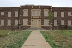 | Big Spring Hospital | building | 2023 | 100009404 |
 | Big Spring Veterans Administration Hospital | district | 2022 | 100008282 |
| Petroleum Building | building | 2021 | 100006397 | |
 | Potton-Hayden House | building | 1975 | 75001992 |
 | Settles Hotel | building | 2013 | 13000207 |
Drawn when these were printed as single large sheets: the town seen from the air, and the county divided into its farms with every owner named. Each opens the original at the Library of Congress.
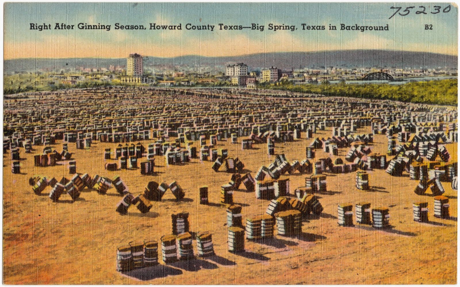
Selected from the Digital Public Library of America's 5 image records catalogued for this county. Every one shown here carries a public-domain status or a licence that permits reuse on a site that carries advertising; non-commercial, share-alike and restricted images are excluded. The selection is spread across the county's towns (at most eight per town), so no single institution's bulk upload crowds out the rest. Each opens the holding library's record, and the complete set at the Digital Public Library of America is one click away.




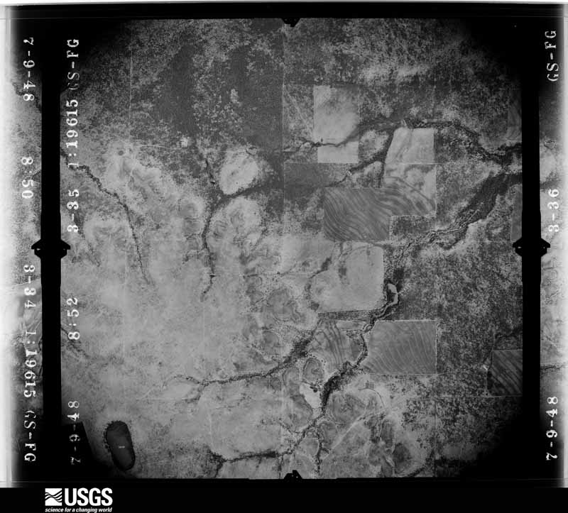
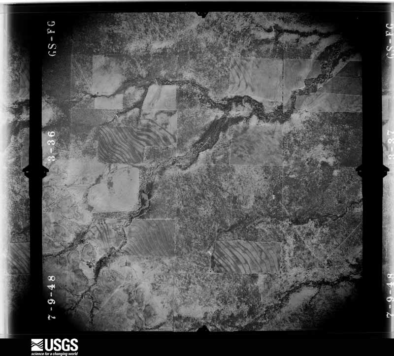
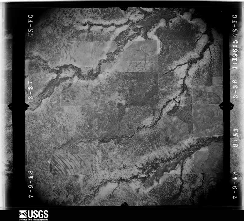
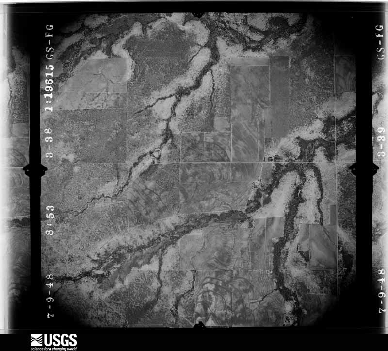
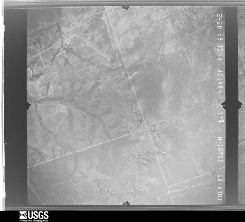
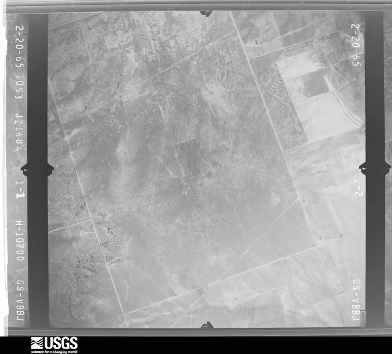
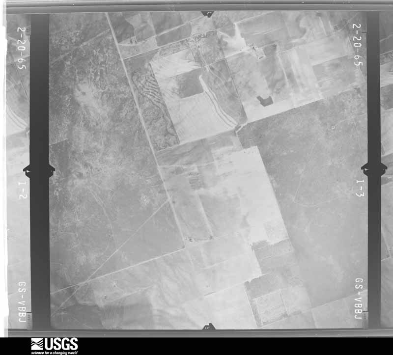
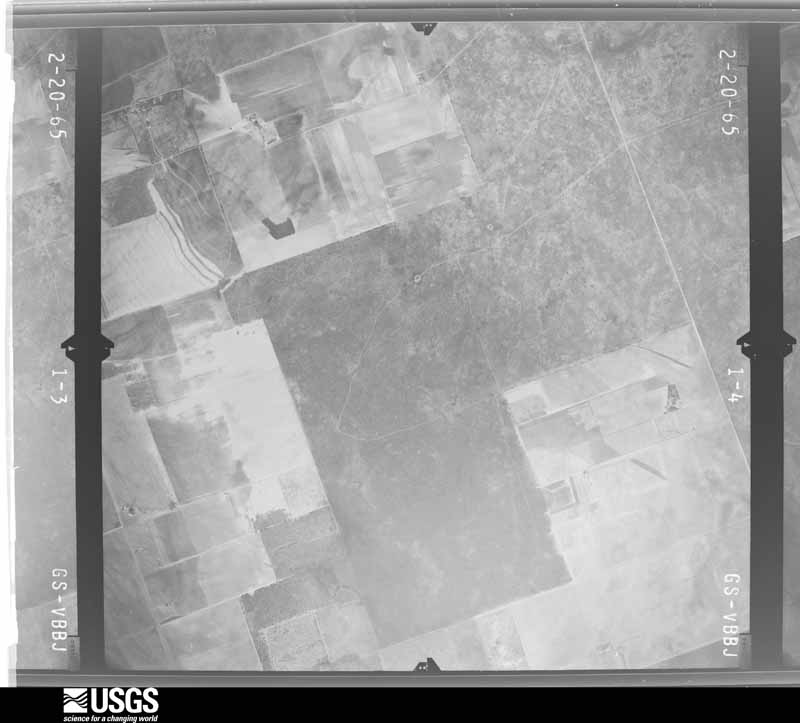
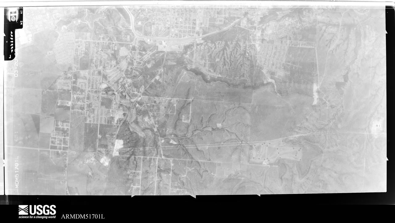
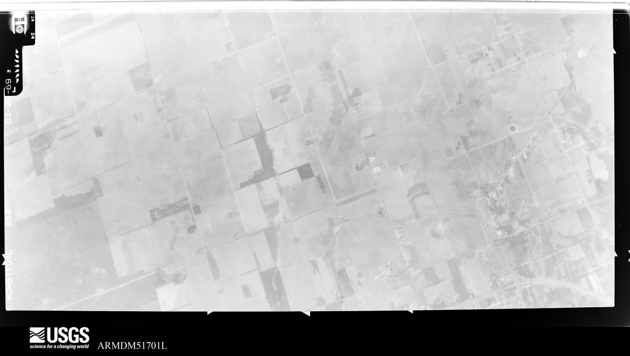
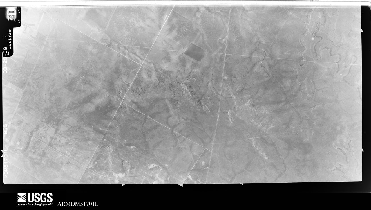
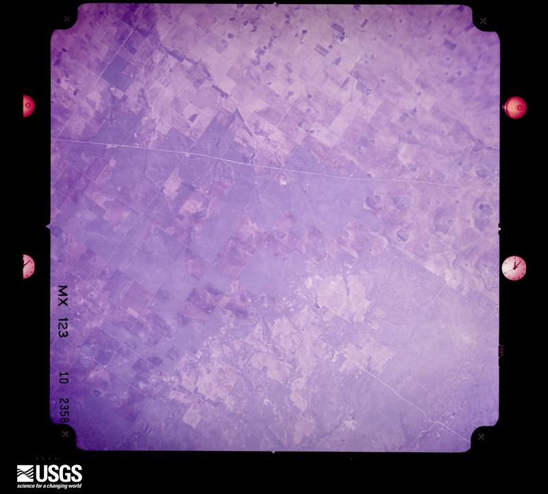
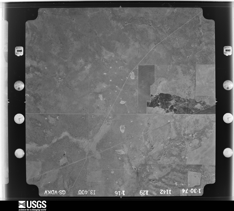
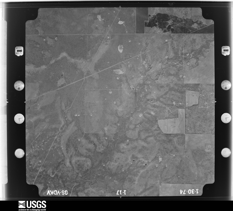
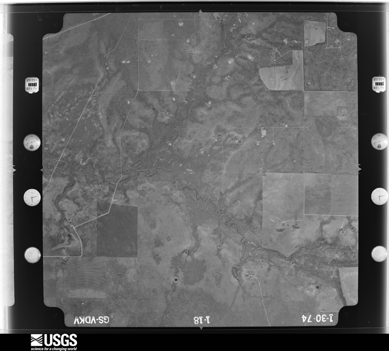
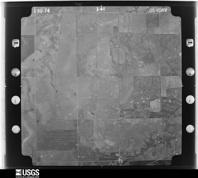
Flown by the U.S. Geological Survey between 1937 and 1989, the Aerial Photo Single Frames collection is the definitive mid-century view of the land: fields, roads and rivers as the camera saw them. The Survey holds 1,026 frames inside the rectangle that bounds this county; the 36 frames below were taken over the county itself, chosen across the decades of flights (at most four a year from that rectangle), so one flight cannot crowd out the rest. The full set is free to browse and download at EarthExplorer under the dataset Aerial Photo Single Frames.




















The thermometers that kept this county's weather, and the gages that measured the flow of its streams, as the federal records hold them. The extremes below are measured values from those records, not estimates.
Who lived here in 1950, one enumeration district at a time, as the Census Bureau described each district. Each row opens its official National Archives result, with Population Schedules and ED Maps available there.
Every wildfire the federal occurrence database records inside this county: 1,095 of them, burning about 42,436 acres. 24 started naturally and 41 were recorded as arson. Each settlement page carries the fires within five miles of it.
| Reported cause | Fires |
|---|---|
| Missing data/not specified/undetermined | 424 |
| Power generation/transmission/distribution | 201 |
| Equipment and vehicle use | 195 |
| Debris and open burning | 143 |
| Arson/incendiarism | 41 |
| Smoking | 39 |
| Natural | 24 |
| Railroad operations and maintenance | 15 |
| Misuse of fire by a minor | 10 |
| Recreation and ceremony | 3 |
The five largest, by the area the report gives. None of them was recorded as arson.
| Date | Cause | Size | Reported by | Name on the report |
|---|---|---|---|---|
| 20 June 2011 | Missing data/not specified/undetermined | 5,067 acres | Texas A & M Forest Service | BOYKEN RD FIRE |
| 12 July 2011 | Natural | 5,000 acres | Texas A & M Forest Service | CLAY FIRE |
| 30 August 2011 | Missing data/not specified/undetermined | 4,319 acres | Texas A & M Forest Service | LEGACY FIRE |
| 9 May 2011 | Missing data/not specified/undetermined | 1,500 acres | Texas A & M Forest Service | MATT LOOP FIRE |
| 11 April 2008 | Equipment and vehicle use | 1,200 acres | Texas A & M Forest Service | COUNTY LINE |
| 20 June 2011 | Power generation/transmission/distribution | 1,200 acres | Texas A & M Forest Service | COBBLE RD #1 FIRE |
| 6 April 2006 | Missing data/not specified/undetermined | 1,050 acres | Texas A & M Forest Service | FORSAN |
| 4 August 2008 | Equipment and vehicle use | 1,000 acres | Texas A & M Forest Service | not named |
Every settlement page carries the fires within five miles of it - see the settlement index below.
The NOAA Storm Events Database holds 608 reports for this county, causing 2 deaths, 52 injuries and about $54,786,800 in recorded property damage. Each settlement page carries the reports that name it.
| Kind of event | Reports |
|---|---|
| Hail | 318 |
| Thunderstorm Wind | 144 |
| Flash Flood | 86 |
| Tornado | 54 |
| Heavy Rain | 3 |
| Flood | 2 |
| Funnel Cloud | 1 |
The most serious of them, by death, then injury, then recorded damage. The accounts are quoted exactly as the forecast office filed them.
| When | Event | Place named | Harm | What the report says |
|---|---|---|---|---|
| March 2000 | Flash Flood | Countywide | 2 killed, 1 hurt, $10,000 | no account filed |
| May 1996 | Hail | Big Spring | 48 hurt, $30,000,000 | no account filed |
| June 1956 | Tornado (F1) | not stated | 3 hurt, $30 | no account filed |
| April 1995 | Hail | Big Spring | $20,000,000 | no account filed |
| June 2025 | Thunderstorm Wind | Big Spring | $1,000,000 | Numerous reports were received of wind-driven hail damage across Big Spring. West facing windows and walls of homes were damaged. Car windows were broken. Multiple power poles were snapped. At least some small metal outbuilldings and awnings were damaged. Wind speeds are estimated to have been between 80-100 mph. The time of occurrence is estimated from radar. The total cost of damages is also estimated. |
| September 2012 | Flash Flood | Settlers Addition | $600,000 | Heavy rain moved over Howard County and produced flash flooding over Big Spring and portions of rural Howard County. Numerous vehicles were stranded in Big Spring. The cost of damage of six hundred thousand dollars is a very rough estimate. There were no injuries reported. |
| April 2001 | Hail | Big Spring | $500,000 | A severe thunderstorm moved across the eastern portions of the city of Big Spring, producing golfball to baseball size hail and 40-50 mph winds over approximately a one mile stretch of land. It is estimated that 400 cars sustained hail damage. |
| May 1993 | Hail | Big Spring | $500,000 | A supercell thunderstorm produced golf ball to baseball-size hail in the city of Big Spring. Many buildings and automobiles suffered damage. Other thunderstorms which followed contained very heavy rainfall which led to flash flooding across western Howard County. The floodwaters damaged a railroad track, resulting in the derailment of four engines and two freight cars. Two railroad crewmen were injured. An automobile was swept off of a road northwest of Big Spring, but the occupant was rescued unharmed. |
| April 1982 | Tornado (F2) | not stated | $250,000 | no account filed |
| June 1954 | Tornado (F0) | not stated | $250,000 | no account filed |
| April 2022 | Flash Flood | Settlers Addition | $200,000 | Heavy rain fell across Howard County and produced flash flooding in Big Spring. There were multiple reports of homes flooded throughout the city of Big Spring. The cost of damage is a very rough estimate. |
| April 2016 | Thunderstorm Wind | Sand Spgs | $190,000 | A thunderstorm moved across Howard County and produced wind damage near Elbow. Two telephone poles and three irrigation pivots were knocked down from strong winds. The cost of damage is a very rough estimate. |
| September 2004 | Heavy Rain | Big Spring | $100,000 | Heavy rainfall caused ponding of water on many driving surfaces near Big Spring. A semi-truck hydroplaned off of Interstate 20 on the north side of the city. A second semi-truck lost control and jack-knifed when the driver tried to avoid a collision with emergency workers responding to the first incident. |
| June 2003 | Flash Flood | East Portion | $100,000 | A significant flash flood event affected the eastern part of Howard County. At least one vehicle was stalled in high water on the access road of Interstate 20 east of Big Spring. The occupants were rescued. Houses were flooded in both Forsan and Coahoma. Pavement on rural roadways was washed away. No injuries were reported. |
| April 2009 | Tornado (EF2) | Fairview | $83,000 | At 1953 CST, a trained weather spotter reported a tornado about 5 miles northwest of Big Spring. The NWS Storm Survey confirmed two snapped power poles, minor tree damage and an empty oil pump storage tank knocked over near this location. The tornado then tracked north northeastward and bent an 80 foot aluminum radio tower in half towards the east and snapped two additional power poles due to damaging northerly winds on its northwest flank; this occurred sometime around 2000 CST. At 2005 CST, another trained spotter reported a tornado near the town of Fairview, TX. The damage survey concluded this was a valid report, as the tornado began to turn right snapping multiple power poles and damaging a 12X10 storage shed anchored 2-3 feet in the ground along the way. The storage shed was tossed east northeast approximately 30 yards, indicating the tornado passed north of the residence. As the tornado continued eastward just north of Farm to Market Road 2230 east of Fairview, a significant line of power pole damage (2 miles) was observed. There were a total of 28 poles snapped towards the south around 2015 CST. Twenty of these were distribution poles and 8 of these were larger transmission poles. The tornado then possibly weakened and turned left to the northeast. On its way, it damaged another storage shed and a home's north side windows approximately 4 miles northeast of Fairview. The last approximated time for tornadic wind damage was around 2030 CST. The path recorded for this event is not the exact path the tornado actually took. Please see attached image. |
| May 2016 | Tornado (EF3) | Big Spring | $75,000 | A thunderstorm moved across Howard County and produced a tornado near Big Spring. Eyewitness reports from storm chasers and spotters in the area indicate that the tornado began at 6:13 pm CDT just south of Texas State Highway 176, approximately 10 miles west of Big Spring. The tornado then moved southeastward over open fields, bounded by Natural Dam Lake to its west and Wilkinson Road just to its east. The tornado continued on this southeast track along Salt Lake, eventually crossing Interstate 20 at approximately 6:32 pm CDT. ||South of Interstate 20, the tornado exhibited erratic movement, being described by chasers and spotters as being nearly stationary in a field. Examination of radar imagery showed the primary storm circulation moved slowly southeastward to approximately half a mile northwest of the intersection of Lintner Road and Rockhouse Road by 6:37 pm CDT, before turning eastward. The tornado continued to move east, with the southern periphery of the tornado affecting Home #1. The tornado then began to move northeastward, crossing nearly directly over Home #2 around 6:40 pm CDT. A slight east northeast turn allowed for only the tornado's northern periphery to affect Home #3 along Cauble Road around 6:42 pm CDT.||The tornado moved southward along or near Cauble Road. The tornado continued its erratic behavior, moving southwestward and re-entering the same field as previous around 6:48 pm CDT. The tornado then turned west-northwestward, eventually becoming quasi-stationary just east of the Home #1 between 6:52 pm and 6:54 pm CDT, before moving westward, just north of Home #1. Residents at home #1 described how long the tornado lasted and felt the tornado had impacted them twice. The tornado dissipated approximately 1.5 miles west of Home #1 around 7 pm CDT.||The damage assessment team looked at several different indicators to determine tornado intensity. At Home #2, which likely was the closest and strongest structure to the tornado during the most intense portion of the tornado's life cycle, the entire roof was destroyed and exterior walls on this well-constructed residence were partially collapsed. This damage indicator suggests an EF-3 intensity with wind speeds estimated at 140-160 mph. In the adjacent field east of Home #2, a 640 type pump jack was blown over. The assessment team also looked at tree damage at Home #2. Both softwood and hardwood trees were viewed on the property. Damage to these large trees was indicative of high end EF-2 to low end EF-3 damage.||Home #1 and Home #3 experienced tornado damage indicative of EF-2 damage. In the examples shown, large sections of the roof were removed, but with the walls still standing. At Home #3, there were power poles that were snapped approximately five feet off the ground. Wind speeds at this residence are estimated at 115 to 125 mph. At Home #1, trees were uprooted. Wind speeds are estimated at this location of 105 to 115 mph. The cost of damage from this tornado is a very rough estimate. |
| May 2025 | Flash Flood | Big Spring | $70,000 | Big Spring Fire Department reported a couple water rescues from vehicles at low water crossings and water in an apartment building in Big Spring. The time of occurrence is estimated from radar. The location is also approximate, as is the cost of damages. |
| May 2004 | Thunderstorm Wind | Coahoma | $60,000 | A thunderstorm characterized by rather benign radar signatures developed west of the Mitchell County supercell over eastern Howard County. This storm produced severe winds that blew a car off of Farm to Market Road 820 just north of Coahoma. In addition, an irrigation pivot system was blown into and snapped a row of ten power poles. |
| June 2021 | Flash Flood | (Bgs)Big Spring Arpt | $50,000 | Heavy rain fell across Howard County and resulted in flash flooding. There were numerous high water rescues reported across Howard County, including in Big Spring. The cost of damage is a very rough estimate. |
| May 2016 | Thunderstorm Wind | Big Spring | $50,000 | A thunderstorm moved across Howard County and produced wind damage near and in the City of Big Spring. There were 10,000 people without power across Howard County. There were reports of roofs blown off of houses, power lines down, and trampolines blown away. The cost of damage is a very rough estimate. |
| September 2003 | Flash Flood | Big Spring | $50,000 | Flash flooding in the city streets of Big Spring resulted in a dangerous situation for motorists. Local authorities reported "numerous" vehicles stalled in up to three feet of flowing water in city streets. Rescue workers removed several people from vehicles which were submerged up to the windshields in the flood waters. No injuries were reported. |
| August 2000 | Thunderstorm Wind | Big Spring | $50,000 | A thunderstorm moved through Big Spring Sunday night tearing the roofs off a day care center and four apartment buildings. Rain caused flooding damage in the unroofed apartments. There were also reports of trees blown down in town. |
| November 1994 | Thunderstorm Wind | Knott | $50,000 | no account filed |
| May 2014 | Tornado (EF2) | Coahoma | $45,000 | A thunderstorm moved across Howard County and produced a tornado near Coahoma. A storm spotter reported a rain-wrapped tornado that crossed Interstate 20 near Coahoma. An Ampscot 640 pump jack that weighed 78,000 pounds was overturned. This tornado was rated a high end EF-2 with winds between 111 to 135 mph. It was not possible to determine the track of this tornado due to the abundant rainfall, wet soil, and lack of vegetation so the track is estimated. The path width of the tornado was also estimated. The cost of damage is a rough estimate. |
| June 2002 | Thunderstorm Wind | Big Spring | $30,000 | Spotters reported a semi truck blown over on Interstate 20. |
| May 2000 | Thunderstorm Wind | Big Spring | $30,000 | Tractor trailer blown over, roofs torn off, trees down, windows broken, storage building damaged, and dog pens destroyed. |
| June 2005 | Tornado (F2) | Luther | $25,000 | The long-lived tornado that developed in south-central Borden County crossed into Howard County east of County Road 41. The tornado's damage path narrowed as it moved over a hay field northeast of Luther. Three hundred round bales of hay, weighing 2,000 pounds each, were shredded by the tornadic winds. All of the hay bales were destroyed and the individual straws of hay served as small missiles, stripping mesquite trees of their bark in a thicket to the west. The tornado crossed County Road 41 about two miles south of the Howard and Borden County line. Chunks of asphalt, some up to six inches in diameter, were removed from the road's surface and deposited in an adjacent field. A 250 yard wide swath was cut through mesquite filled range land west of the road. Large mesquite trees were reduced to stumps that only stood a few feet tall, and were partially debarked. A railroad boxcar that was being used for storage was destroyed one mile west of County Road 41. The boxcar broke into three large pieces as it initially bounced along the earth, leaving large craters in the ground, and then was lofted. The three pieces were displaced a mile to the southwest from the boxcar's original location, near the end of the damage path.A National Weather Service damage survey team concluded that a significant rating (F2) was warranted based on the magnitude of tree and vegetation damage, and the lofting and displacement of the railroad boxcar. The tornadoes total path length across Borden and Howard Counties was nine miles, with a maximum path width of three quarters of a mile in south-central Borden County. |
| June 1989 | Tornado (F1) | not stated | $25,000 | no account filed |
| September 2014 | Flash Flood | Vincent | $20,000 | Heavy rain fell across Howard County and produced flash flooding near Vincent. A pickup truck washed off the road at the intersection of Farm to Market road 1205 and Farm to Market road 846. The cost of damage is a very rough estimate. |
| June 2004 | Flash Flood | Big Spring | $20,000 | Extensive flash flooding was reported in the vicinity of Big Spring during the evening hours. A vehicle was washed off of a city street at 18:45 CST. The occupants were rescued by fire department personnel. Spotters reported several vehicles stalled in high flood waters along Farm to Market Road 700 at 19:40 CST. A foot of flowing water covered portions of U.S. Highway 87 near the intersection of Todd Road. In addition, an elderly man was stranded for several hours by flood waters covering Farm to Market Road 33 south of Big Spring near the Howard/Glasscock County line. |
| September 2004 | Flash Flood | Big Spring | $20,000 | The Big Spring Police Department barricaded several city streets due to flowing flood waters that resulted from flash flooding. The most significant flooding was reported in the city's northwest side. At 18:43 CST a motorist was stranded in flood waters at the 1400th block of Sixth Street. Northwest Second and Benton Streets also were closed. |
| May 2014 | Thunderstorm Wind | Big Spring | $19,000 | A thunderstorm moved across Howard County and produced wind damage near Big Spring. There was a three mile long stretch of Centerpoint Road between Big Spring and Coahoma where there were 31 power poles snapped. The cost of damage is a rough estimate. |
| September 2023 | Thunderstorm Wind | South Haven | $15,000 | Several power poles were snapped along Highway 87. Time is estimated from radar. Wind speeds are estimated to be 90 mph. Property cost damage is an estimation. |
| April 2016 | Thunderstorm Wind | Big Spring | $15,000 | A thunderstorm moved across Howard County and produced wind damage in Big Spring. A travel trailer was blown over from thunderstorm wind gusts of 80 mph between 6:00 and 6:15 pm CDT. The cost of damage is a very rough estimate. |
| July 2004 | Flash Flood | Big Spring | $15,000 | Flash flooding conditions developed rapidly in Big Spring. At 00:45 CST the Big Spring Police Department reported over one foot of water flowing over the Interstate 20 service road. Numerous other city streets also were closed due to flash flooding, including Parkway and Alamesa Streets east of Sixth Street.At 02:13 CST a vehicle was swept off of U.S. Highway 87 north of Big Spring. Fire Department Personnel rescued the driver and no injuries resulted. |
| May 2003 | Flash Flood | Big Spring | $15,000 | The Big Spring Police Department and storm spotters reported several main city streets in Big Spring under water due to flash flooding. Water was reported to be a few feet deep on the Interstate 20 service roads with several cars stalled. No injuries were reported. |
| August 2004 | Thunderstorm Wind | Big Spring | $15,000 | no account filed |
| July 2012 | Thunderstorm Wind | Big Spring | $13,000 | A thunderstorm moved over Howard County and produced 70 mph wind gusts for ten minutes. These winds flattened a barn in Big Spring. The cost of damage to the barn is an estimate. |
| January 2010 | Thunderstorm Wind | Big Spring | $12,000 | The public reported a barn was destroyed, a trampoline was blown into another yard, and several utility poles were snapped due to wind gusts associated with the storm. |
| April 2003 | Thunderstorm Wind | Big Spring | $12,000 | Two trees were blown down by severe thunderstorm winds and caused damage to electrical transformers. In addition, a roof was blown off of a portable building at the school. |
| June 2025 | Thunderstorm Wind | Big Spring | $10,000 | Multiple reports were received from the public that most west-facing windows were broken at Hotel Settles in Big Spring due to damaging wind-driven hail. The time of occurrence is estimated from radar. The cost of damages and the maximum wind gust are also estimated. |
| May 2023 | Thunderstorm Wind | Luther | $10,000 | Public report of snapped power poles along FM 846 east of Vealmoor. Location and time are estimated by radar. Wind speeds are estimated to be approximately 100 mph. Property damage is approximate. |
| May 2006 | Hail | Forsan | $10,000 | Tennis ball size hail fell in a swath from west of Forsan along U.S. Highway 87 to Forsan. The hail broke numerous car windows in Forsan. |
| May 2006 | Hail | South Haven | $10,000 | Tennis ball size hail fell in South Haven damaging roofs and car windows and knocking one inch diameter tree limbs to the ground. |
| June 2005 | Thunderstorm Wind | Big Spring | $10,000 | Storm spotters reported that thunderstorm wind gusts blew down power poles along U.S. Highway 87 near the intersection of County Road 4500 north of Big Spring. |
| June 1997 | Thunderstorm Wind | Big Spring | $10,000 | As the line of storms moved eastward, the events began to change from hail events to wind events. In the city of Big Spring 65 mph winds were reported with large tree limbs broken and light aircraft at the airport overturned. |
| May 2013 | Thunderstorm Wind | Big Spring | $8,000 | A thunderstorm moved over Howard County and produced a 70 mph wind gust five miles northeast of Big Spring. Large power poles were snapped as a result of this wind. The cost of damage is a rough estimate. |
| June 2013 | Thunderstorm Wind | Big Spring | $8,000 | A thunderstorm moved over Howard County and produced wind damage five miles northeast of Big Spring. The north side of a barn was destroyed. Based on the damage, the wind gusts were estimated to be around 70 mph. The cost of damage is a rough estimate. |
| May 2010 | Flash Flood | Big Spring | $8,000 | At 1520 pm CST, the Howard County Emergency Manager reported flash flooding in and around Big Spring, TX. Fifty-five gallon drums were floating down roadways and several motorists were stranded in vehicles submerged under water. |
| May 2021 | Thunderstorm Wind | Luther | $7,000 | A thunderstorm produced wind damage near Knott. There were power poles broken and three inch tree limbs were broken. The cost of damage is a very rough estimate. |
| April 2016 | Thunderstorm Wind | Big Spring | $7,000 | A thunderstorm moved across Howard County and produced wind damage in Big Spring. There was visible damage to a roof of an apartment complex in Big Spring. The cost of damage is a very rough estimate. |
| May 2021 | Flash Flood | South Haven | $5,000 | Heavy rain produced flash flooding near Elbow. There were roads flooded and cars were stranded. The cost of damage is a very rough estimate. |
| May 2018 | Hail | Big Spring | $5,000 | A thunderstorm moved across Howard County and produced golf ball to baseball sized hail in the Silver Hills area near Comanche Trail Park. Some vehicles experienced cracked windshields and smaller dents due to the hail. The cost of damage is a very rough estimate. |
| May 2016 | Thunderstorm Wind | South Haven | $5,000 | Thunderstorm wind gust of 55 mph was measured by the Big Spring AWOS. Reports nearby had a couple of power poles snapped and some roof damage to a couple homes. Damage costs are a rough estimate. |
| May 2016 | Thunderstorm Wind | (Bgs)Big Spring Arpt | $5,000 | A thunderstorm moved across Howard County and produced wind damage near Big Spring. Power lines were reported down on Oasis Road. The cost of damage is a very rough estimate. |
| May 2015 | Tornado (EF1) | Luther | $5,000 | A thunderstorm moved across Howard County and produced a tornado near Luther. The tornado touched down in a rural area north of Big Spring, Texas at 3:23 pm CDT and continued generally east for a distance of 8.12 miles before lifting at approximately 3:50 pm CDT. A couple members of the Howard County Volunteer Fire Department witnessed the tornado. The only damage seen was to a couple of power poles which were snapped near the base. Based on the damage seen by the survey team, the tornado is being rated as an EF-1 with an estimated wind speed of 100 mph. The cost of damage is a rough estimate. |
| May 2014 | Flash Flood | (Bgs)Big Spring Arpt | $5,000 | Heavy rain moved across Howard County and produced flash flooding near Big Spring. There was two feet of rapidly moving water over Center Point Road northeast of Big Spring. The cost of damage is a very rough estimate since no damage was reported. |
| June 2010 | Flash Flood | Big Spring | $5,000 | The police department barraceded low water crossings within Big Spring, Tx. A few morotists were stranded in 12 to 18 inches of water. |
| March 2003 | Flash Flood | Big Spring | $5,000 | A car was washed off of U.S. Highway 87 six miles south of Big Spring by over a foot of water which was streaming across the roadway. The driver of the car had to be rescued, but sustained no injuries. Water also covered several rural roadways resulting in their closing. |
| June 1994 | Hail | Coahoma | $5,000 | The public reported a well house blown over and tree limbs down in southeast Midland at the intersection of Highways 1379 and 1357. The Glasscock County Sheriff's Office reported dime-size hail southwest of Garden City. The Howard County Sheriff's Office reported golf ball-size hail in Coahoma. |
The Survey's mineral resources record lists 5 workings inside this county. 4 still produce and 1 is closed or unrecorded. Each settlement page carries the workings within five miles of it.
| Commodity | Workings |
|---|---|
| Stone, Crushed/Broken | 2 |
| Limestone, General, Stone, Crushed/Broken | 1 |
| Sand and Gravel, Construction | 1 |
| Limestone, General | 1 |
The least common of them first, because a county's hundredth gravel pit says nothing its first ten did not.
| Where | Site | Commodity | Status | Recorded |
|---|---|---|---|---|
| Fisher Quarry | Limestone, General, Stone, Crushed/Broken | Producer | Limestone | |
| Martin Pit | Sand and Gravel, Construction | Producer | ||
| Tubbs Pit | Limestone, General | Producer | ||
| Big Rough Sand and Gravel Fisher Qy | Stone, Crushed/Broken | Unknown | ||
| Odaniel Pit | Stone, Crushed/Broken | Producer |
Named settlements recorded in the Geographic Names Information System, each with the topographic sheets covering it. Villages, hamlets and abandoned places alike. Each is shown with the nearest named watercourse or landform and the survey quadrangle it falls on.
Big Spring census division · Near Hayrick Mountain · Moss Creek Lake quadrangle
11 sheets, 1941 to 1986
Big Spring census division · Near Hayrick Mountain · Moss Creek Lake quadrangle
11 sheets, 1941 to 1986
Big Spring census division · 79720 · Big Spring South quadrangle
12 sheets, 1941 to 1986
Big Spring census division · 79720 · Near Scenic Mountain · Big Spring South quadrangle
12 sheets, 1941 to 1986
Big Spring North census division · 79720 · Near Big Spring Draw · Big Spring North quadrangle
11 sheets, 1942 to 1986