 Block
BlockRosalie, Texas
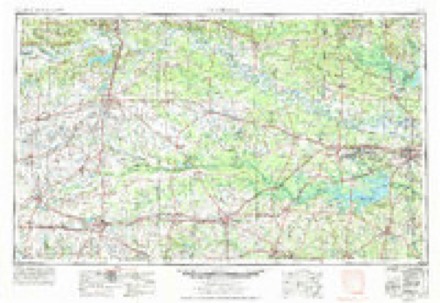
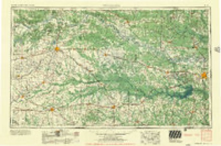
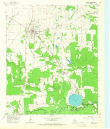
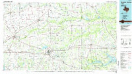
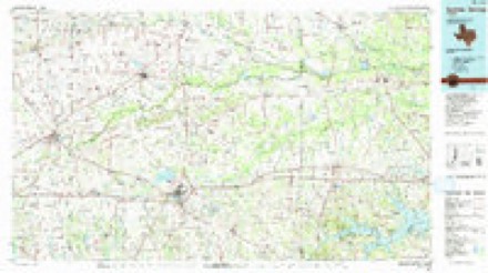
8 topographic sheets cover this place, the earliest surveyed in 1953 and the latest in 1991. It stands in the Bogata census division. It lies in ZIP code area 75417. The Survey maps it on the Bogata quadrangle.
Topographic sheets covering this place
5 surveys from 8 printed sheetsMatched by testing this settlement's coordinate against the published boundary of every sheet in the United States Geological Survey's historical collection. Each opens the scanned sheet at the Survey.
- 1953 USGS Texarkana quadrangle1:250000, 4 printings
- 1956 USGS Texarkana quadrangle1:250000
- 1964 USGS Bogata quadrangle1:24000
- 1985 USGS Sulphur Springs quadrangle1:100000
- 1991 USGS Sulphur Springs quadrangle1:100000
Fires near this place
271 since 1994Regional context, not property-specific evidence. The federal wildfire occurrence database lists 271 fires within 5 miles of Rosalie between 1994 and 2020, burning about 2,809 acres in total. 10 started naturally. 11 were recorded as arson. Distance is straight-line from the map coordinates, so a fire counted here may appear on a neighbouring settlement's page as well.
| Reported cause | Fires |
|---|---|
| Debris and open burning | 165 |
| Missing data/not specified/undetermined | 47 |
| Equipment and vehicle use | 25 |
| Arson/incendiarism | 11 |
| Natural | 10 |
| Power generation/transmission/distribution | 6 |
| Recreation and ceremony | 5 |
| Misuse of fire by a minor | 1 |
| Other causes | 1 |
The most recent of them, most recent first, with the day each was reported and the service that recorded it.
| Date | Cause | Size | Reported by | Name on the report |
|---|---|---|---|---|
| 9 September 2011 | Equipment and vehicle use | 1.0 acres | Texas A & M Forest Service | LINDEN - 567 |
| 8 September 2015 | Power generation/transmission/distribution | under an acre | Texas A & M Forest Service | HWY 37N BRUSH FIRE 9/8 |
| 7 September 2012 | Debris and open burning | 2.0 acres | Texas A & M Forest Service | GOLDEN LONG |
| 6 September 2018 | Debris and open burning | 27 acres | Texas A & M Forest Service | CR 1305 FIRE 9/6 |
| 6 September 2016 | Debris and open burning | under an acre | Texas A & M Forest Service | 4TH SW GRASS FIRE 9/6 |
| 5 September 2011 | Missing data/not specified/undetermined | under an acre | Texas A & M Forest Service | HWY 271S GRASS FIRE 9/5 |
| 3 September 2007 | Equipment and vehicle use | under an acre | Texas A & M Forest Service | not named |
| 29 September 1995 | Debris and open burning | 1.0 acres | Texas A & M Forest Service | not named |
Settlements close enough to share some of these fires:
Storms near this place
2 since 2010Regional context, not property-specific evidence. The National Weather Service names Rosalie in 2 storm reports between 2010 and 2025: 1 thunderstorm wind, 1 tornado. No death or injury is recorded in these reports. Each account below is quoted exactly as the forecast office filed it, from the NOAA Storm Events Database, and each date opens the federal record of that event.
| When | Event | Place named | Harm | What the report says |
|---|---|---|---|---|
| April 2025 | Tornado (EF2) | Rosalie | $850,000 | A strong EF-2 tornado with estimated maximum winds near 130 mph touched down northeast of Bogota in the Rosalie community along CR 1305, moving northeast while intensifying as it snapped multiple hardwood and softwood trees. A home north of CR 1325 suffered major damage, including the destruction of the attached garage and a significant portion of roof loss. A nearby tree was also partially debarked. While the survey team was unable to access the property as it was behind locked gates, the Red River County Office of Emergency Management and local firefighters described the house as having been shifted off its foundation. Since the survey team was unable to closely inspect the house, the damage was rated as a high-end EF-2. The tornado continued northeast and moved into an oil field that was not accessible. However, the survey team met the field owner, who stated that a pump jack anchored in a concrete foundation was partially lifted from the foundation and blown over. The owner also said that there was a consistent and continuous path of snapped hardwood trees. Analysis of NDVI differencing of high-resolution satellite data imagery revealed the tornado damage path across this oil field. A consistent path of very large, snapped hardwood trees was found along CR 1340 to the intersection of CR 1357 and CR 1355. CR 1357 and 1355 were blocked by fallen trees and not accessible by the survey team. A couple of outbuildings were also destroyed. Given the size of the hardwood trees and consistent amount of trunk snappings observed, this damage was also rated as EF-2. The tornado continued to track northeast roughly parallel to FM 909, snapping smaller hardwood trees as it crossed CR 1355 and FM 909 south of the Red River County Airport. The damage became somewhat sporadic as the tornado crossed the intersection of Highway 82 and FM 1159 just east of Clarksville, but continued to damage more trees while crossing CR 3200, FM 1700, and CR 3202. The damage path generally followed along FM 1700 before moving north into a wooded area that was not accessible by ground. NDVI differencing indicated a sporadic damage path in this area as the tornado continued northward crossing CR 3217. The survey team observed one final point of tree damage along CR 3230 indicating the tornado lifting here, just north of the Reeds Settlement community. |
| April 2010 | Thunderstorm Wind | Rosalie | - | Two trees were downed east of Bogata, Texas. |
Nearest settlements
The eight closest, with where each one stands in the county. Distances are straight-line, computed from the Geographic Names Information System coordinates.
| Map | Place | Distance | Sheets |
|---|---|---|---|
| Bogata | 1.9 miles | 8 | |
| Pine Branch | 3.5 miles | 8 | |
| Johntown | 3.7 miles | 8 | |
| Rugby | 4.9 miles | 8 | |
| Lone Star | 6.0 miles | 8 | |
| Sherry | 6.1 miles | 8 | |
| Shadowland | 6.2 miles | 8 | |
| Fulbright | 6.3 miles | 8 |
Provenance
This settlement is recorded in the Geographic Names Information System as feature 1366858. The sheet list is computed by point-in-boundary test against the United States Geological Survey's historical topographic inventory. Both are works of the United States government and carry no copyright under 17 U.S.C. 105.
Wildfire. Short, Karen C. 2022. Spatial wildfire occurrence data for the United States, 1992-2020 [FPA_FOD_20221014]. 6th Edition. Fort Collins, CO: Forest Service Research Data Archive. https://doi.org/10.2737/RDS-2013-0009.6 Collected with United States Government funding and usable without additional permissions or fees.
Storms. NOAA National Centers for Environmental Information, Storm Events Database https://www.ncei.noaa.gov/stormevents/ A work of the United States government, no copyright under 17 U.S.C. 105. Narratives are quoted verbatim from the National Weather Service report and are not edited or summarised.