 Block
BlockFrom the record
3 National Register listings published here.
Sources: the National Register database, National Park Service
42 topographic sheets cover 53 settlements here, and 3 properties are on the National Register of Historic Places.
3 National Register listings published here.
Sources: the National Register database, National Park Service
Every property in this county listed on the National Register of Historic Places, with the year it was listed and the federal nomination document.
| Photograph | Property | Type | Listed | Reference |
|---|---|---|---|---|
| Bogata Historic District | district | 2020 | 100005602 | |
 | Red River County Courthouse | building | 1978 | 78002977 |
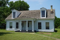 | Smathers-Demorse House | building | 1976 | 76002060 |
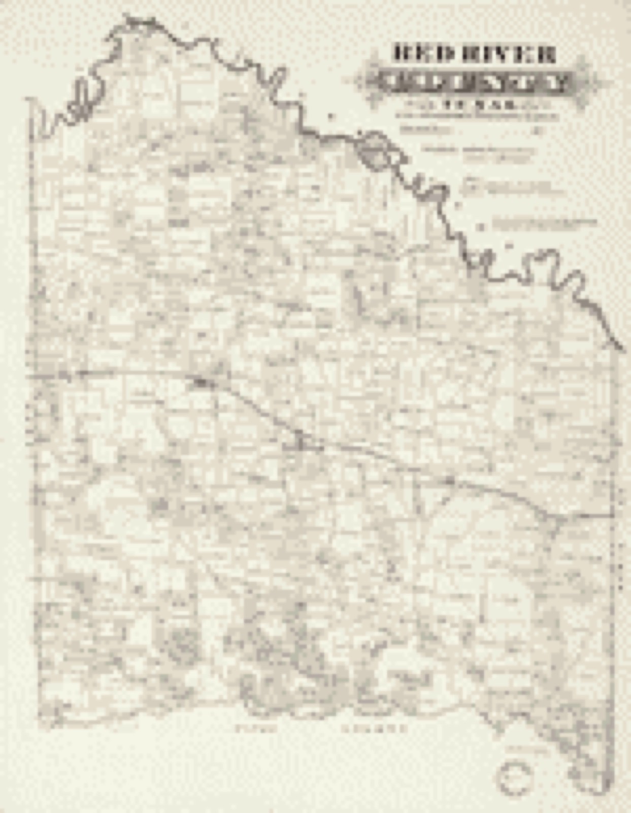
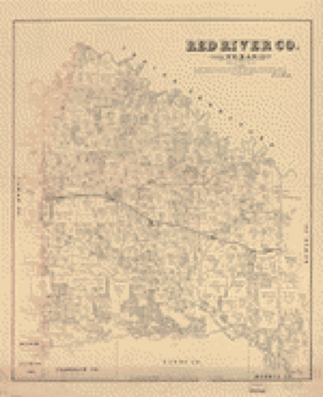
Drawn when these were printed as single large sheets: the town seen from the air, and the county divided into its farms with every owner named. Each opens the original at the Library of Congress.
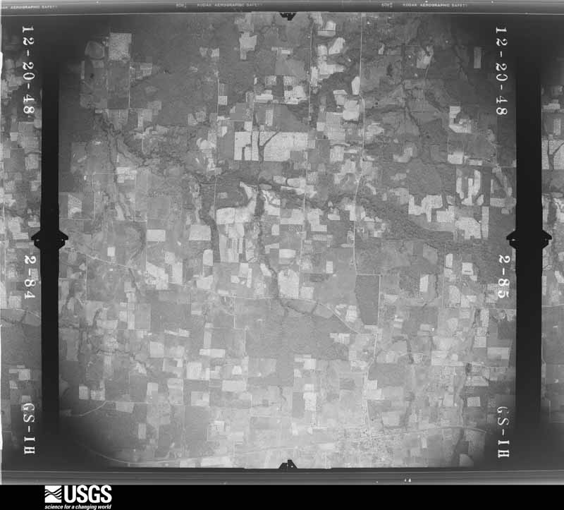
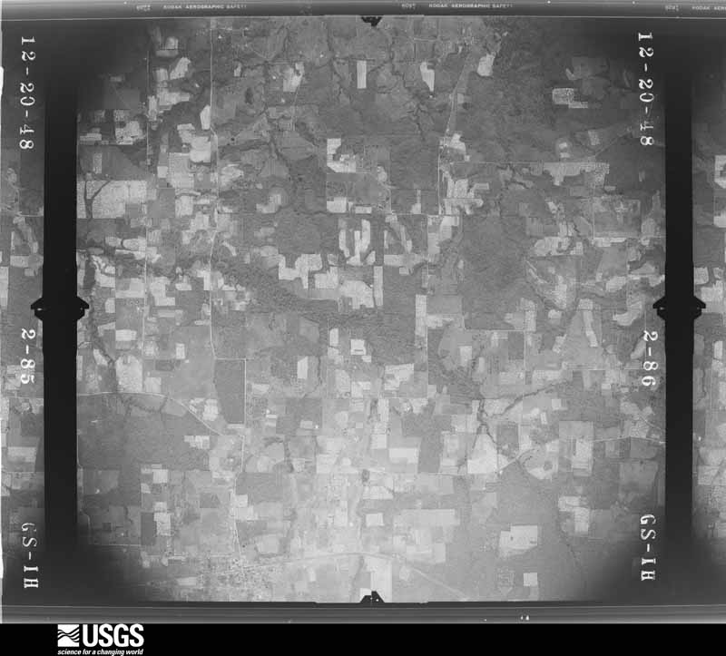
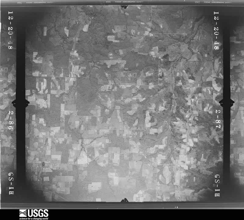
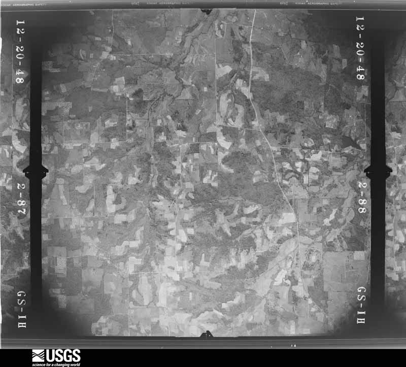
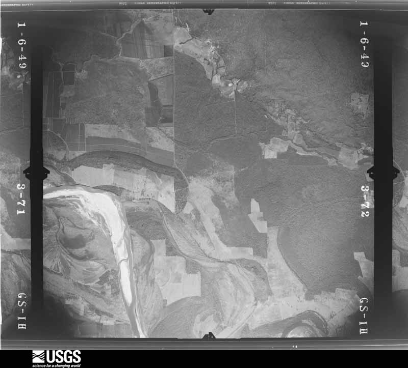
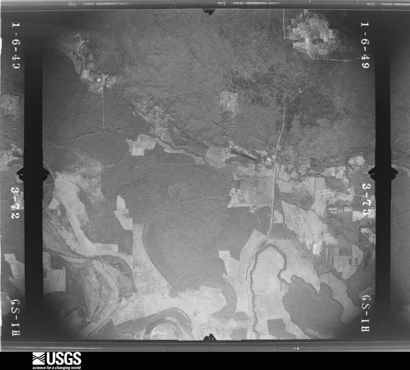
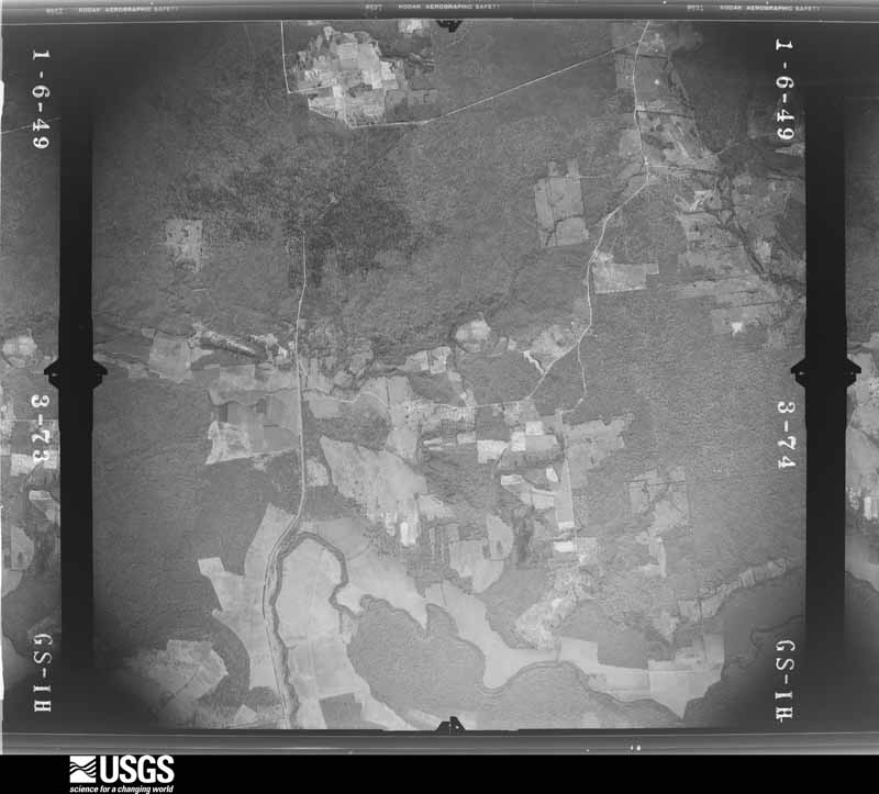
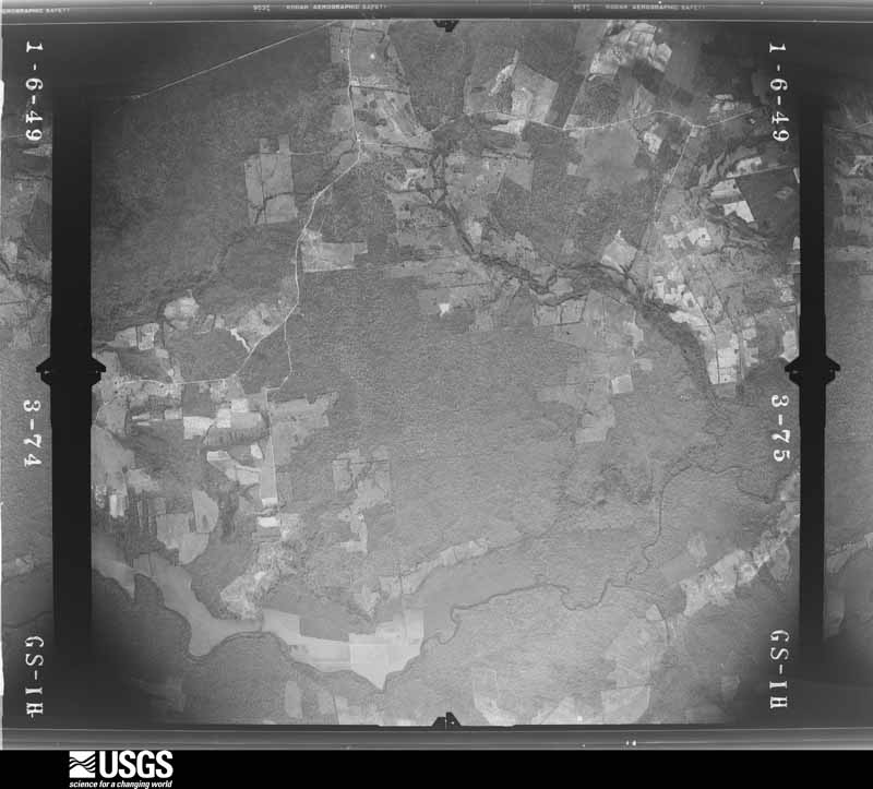
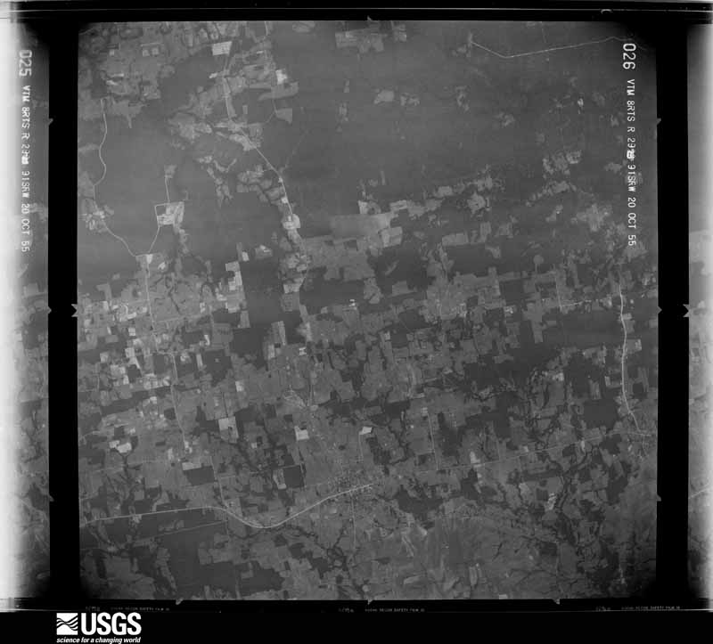
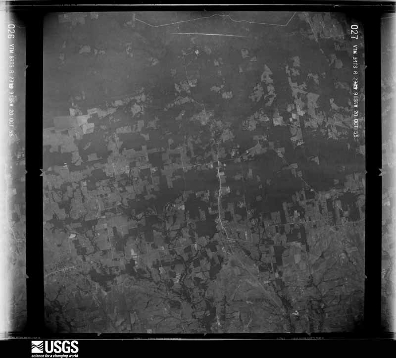
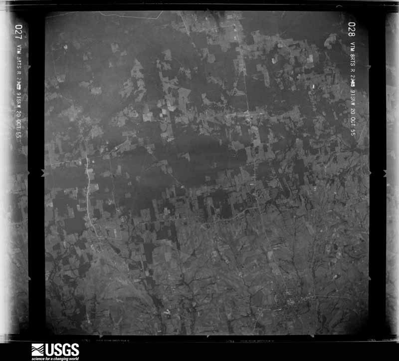
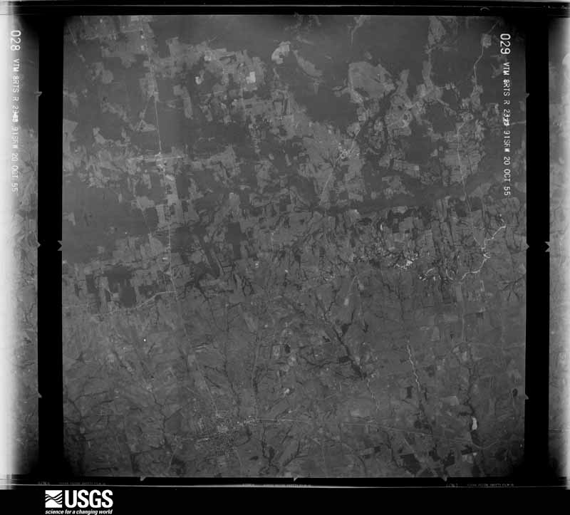
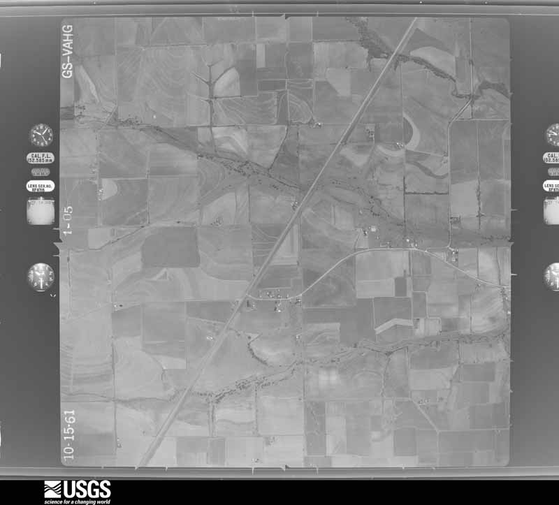
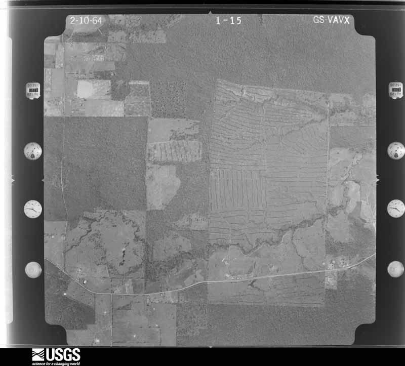
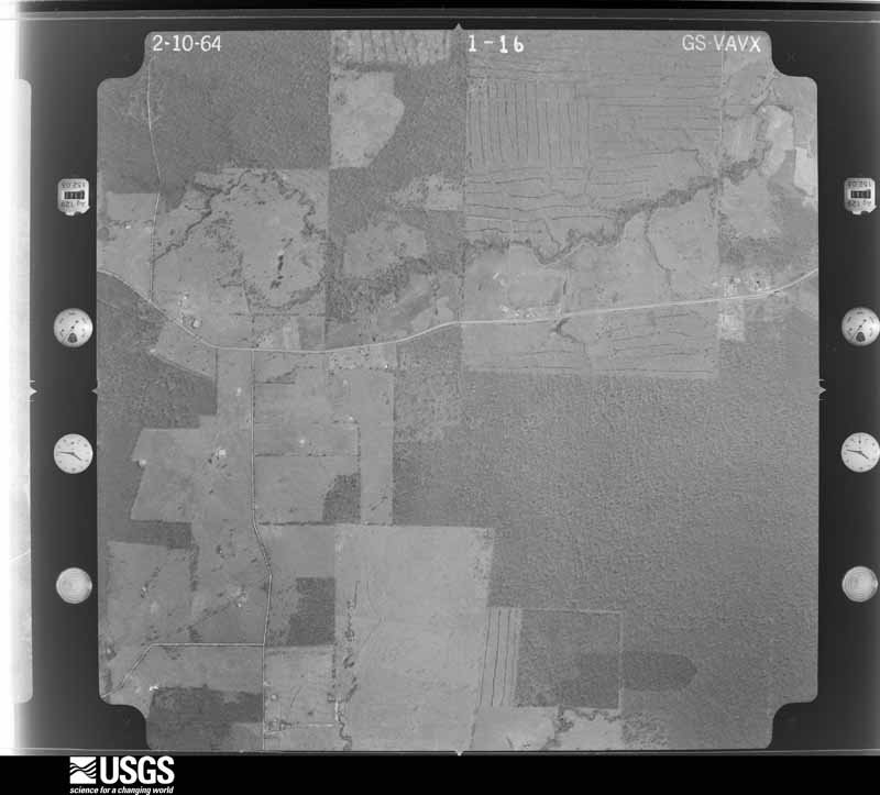
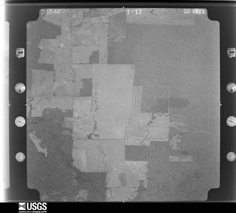
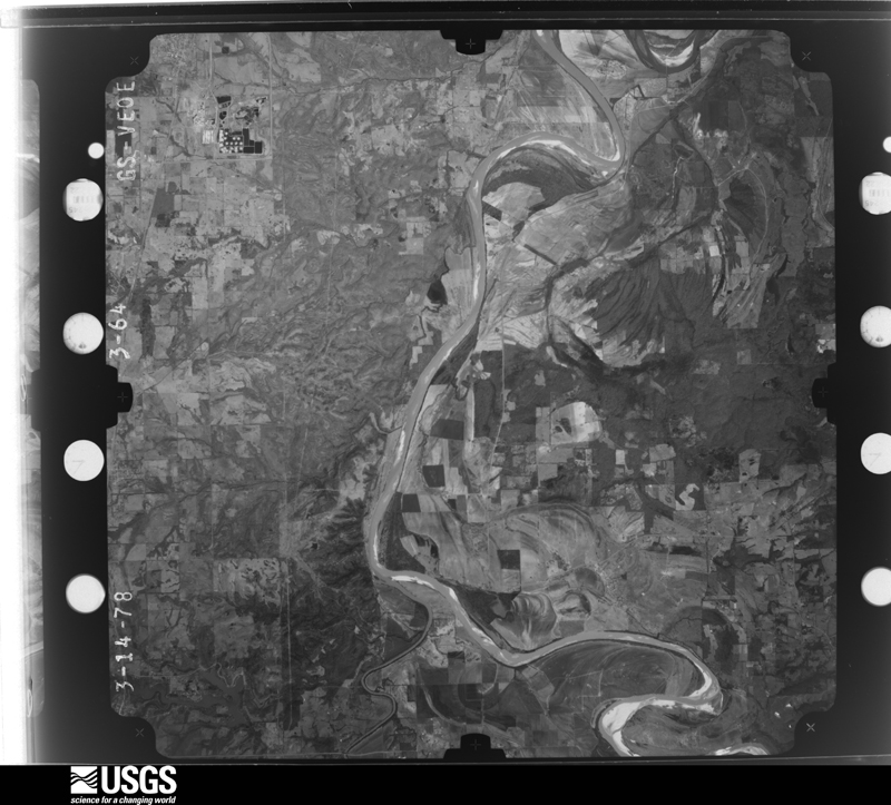
Flown by the U.S. Geological Survey between 1937 and 1989, the Aerial Photo Single Frames collection is the definitive mid-century view of the land: fields, roads and rivers as the camera saw them. The Survey holds 1,143 frames inside the rectangle that bounds this county; the 32 frames below were taken over the county itself, chosen across the decades of flights (at most four a year from that rectangle), so one flight cannot crowd out the rest. The full set is free to browse and download at EarthExplorer under the dataset Aerial Photo Single Frames.
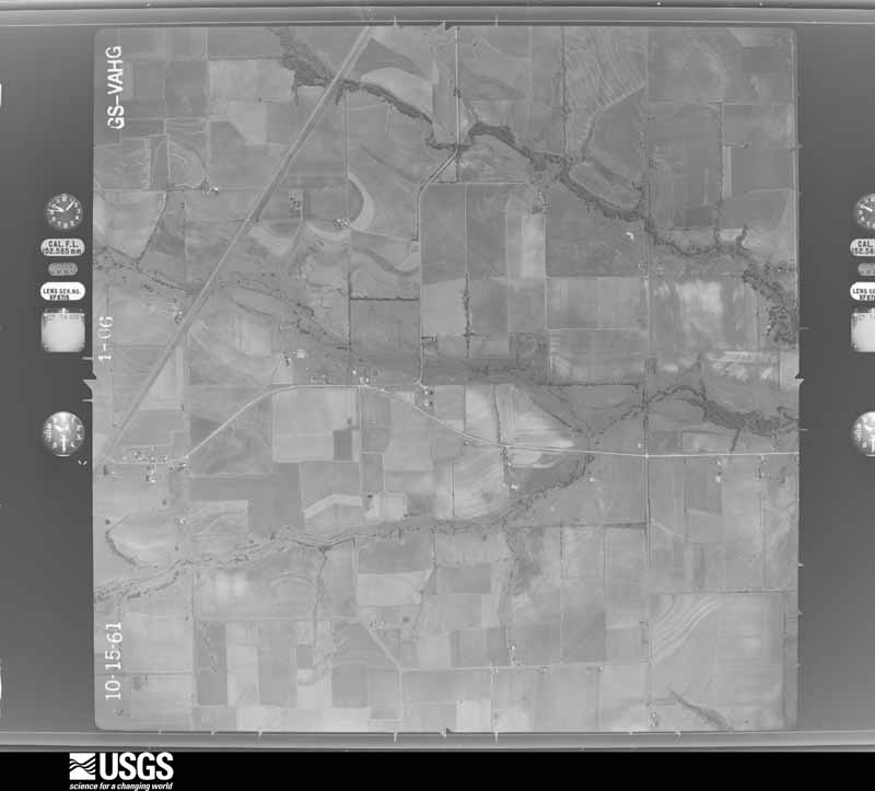
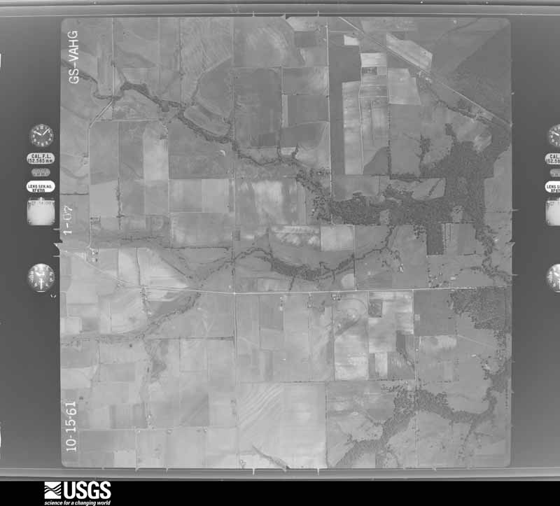
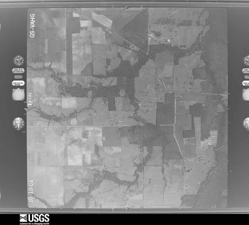
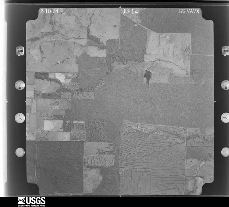
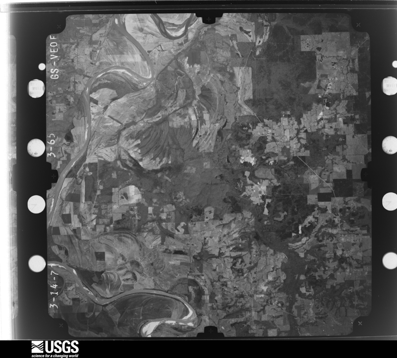

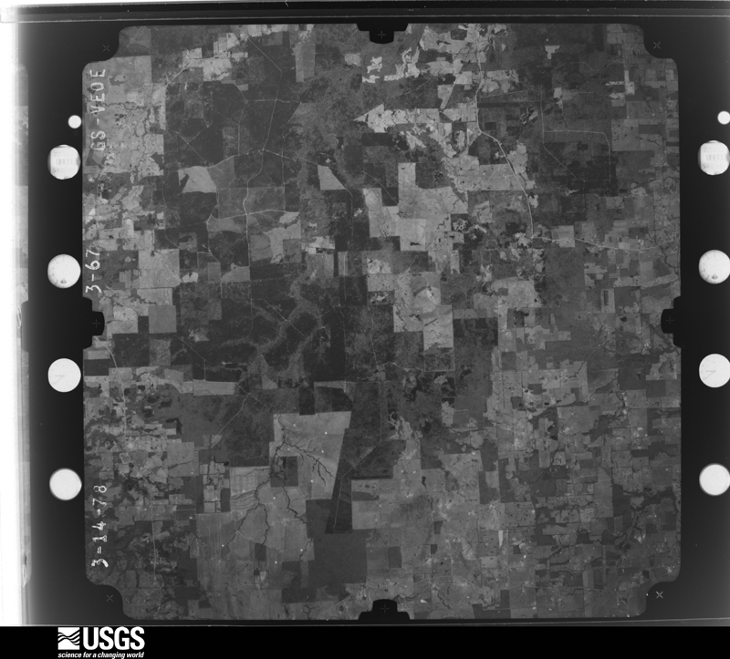



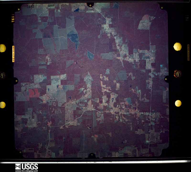




The thermometers that kept this county's weather, and the gages that measured the flow of its streams, as the federal records hold them. The extremes below are measured values from those records, not estimates.
Who lived here in 1950, one enumeration district at a time, as the Census Bureau described each district. Each row opens its official National Archives result, with Population Schedules and ED Maps available there.
Every wildfire the federal occurrence database records inside this county: 1,656 of them, burning about 40,470 acres. 112 started naturally and 158 were recorded as arson. Each settlement page carries the fires within five miles of it.
| Reported cause | Fires |
|---|---|
| Debris and open burning | 872 |
| Missing data/not specified/undetermined | 255 |
| Equipment and vehicle use | 180 |
| Arson/incendiarism | 158 |
| Natural | 112 |
| Power generation/transmission/distribution | 28 |
| Recreation and ceremony | 24 |
| Smoking | 18 |
| Misuse of fire by a minor | 3 |
| Other causes | 3 |
| Railroad operations and maintenance | 2 |
| Fireworks | 1 |
The five largest, by the area the report gives. Four of them were set deliberately.
| Date | Cause | Size | Reported by | Name on the report |
|---|---|---|---|---|
| 9 March 2006 | Natural | 4,000 acres | Texas A & M Forest Service | WHITE ROCK |
| 12 August 2005 | Arson/incendiarism | 1,540 acres | Texas A & M Forest Service | LINDEN - 269 |
| 6 September 2011 | Arson/incendiarism | 721 acres | Texas A & M Forest Service | HALSBORO COMPLEX |
| 25 December 2005 | Debris and open burning | 655 acres | Texas A & M Forest Service | LINDEN - 586 |
| 11 December 2010 | Arson/incendiarism | 651 acres | Texas A & M Forest Service | DAVENPORT FIRE |
| 28 April 2003 | Arson/incendiarism | 638 acres | Texas A & M Forest Service | LINDEN - 144 |
| 1 February 2003 | Debris and open burning | 600 acres | Texas A & M Forest Service | LINDEN - 70 |
| 25 August 1999 | Debris and open burning | 580 acres | Texas A & M Forest Service | not named |
Every settlement page carries the fires within five miles of it - see the settlement index below.
The NOAA Storm Events Database holds 460 reports for this county, causing no deaths, 14 injuries and about $36,228,500 in recorded property damage. Each settlement page carries the reports that name it.
| Kind of event | Reports |
|---|---|
| Thunderstorm Wind | 182 |
| Hail | 181 |
| Flash Flood | 50 |
| Tornado | 40 |
| Flood | 4 |
| Funnel Cloud | 3 |
The most serious of them, by death, then injury, then recorded damage. The accounts are quoted exactly as the forecast office filed them.
| When | Event | Place named | Harm | What the report says |
|---|---|---|---|---|
| November 2022 | Tornado (EF4) | Rugby | 7 hurt, $2,000,000 | An EF-4 tornado initially touched down near the Fulbright community southwest of Clarksville. An aerial survey confirmed that the tornado damage was to tin metal roof panels that were peeled off of a plant on CR-1200. As the tornado continued northeast, near FM-411, a single family home had all of its walls removed with only the interior room left standing where a family of three sheltered where winds were estimated at 150 mph. After it crossed FM-411, it hit another single family home and collapsed all the walls, injuring a woman who left her vehicle to take shelter inside the home. The tornado continued on to CR-1275 where debarking of a few trees was first observed in addition to thousands of trees that were snapped and uprooted throughout the path of the tornado. It then crossed US-82, CR-2123, CR-2124, and FM-2283. At FM-2283, it destroyed a single family home along with several outbuildings. This area could not be surveyed at this location as debris removal had already begun. The tornado then continued to move along CR-2125 and CR-2030 before taking a more eastward jog across SH-37. At this point, it is estimated that it was about a third of a mile wide and it began to widen further as it demonstrated more widespread tree snaps and isolated debarking throughout the remainder of Red River County. After crossing SH-37, the tornado wiped a single family home off of its foundation north of Clarksville with large portions of the walls and roof carried several hundred yards northeast of the home. This damage was surrounded by widespread tree snaps with isolated debarking. This location was reviewed by a regional Quick Response Team (QRT) that determined the damage at this location was EF-4 with maximum winds of 170 mph. This was based on the construction of the home, the debris field spread 50-200 yards downstream from the home in small pieces, and the slab of the home being wiped clean. Ten people on the property of the home took shelter in an oil drain of a metal outbuilding that was completely destroyed with no injuries. The damage swath widened to approximately 0.6 miles northeast of Clarksville as it approached Acworth and continued to cross the Red River. Before it crossed the Red River, it collapsed all the walls on a single family home and completely destroyed Mount Olive Church. It then lifted a double-wide manufactured home off the ground near FM-1159 and threw it 50 yards with three dogs inside that all survived. The tornado then crossed the Red River into south-central McCurtain County, Oklahoma. |
| May 1999 | Tornado (F2) | Clarksville | 7 hurt, $600,000 | Supercells developed in unstable airmass ahead of strong upper low over central plains states. Numerous trees blown over or broken. Nine mobile homes and 1 frame home destroyed. This tornado moved into McCurtain county, OK. |
| April 1982 | Tornado (F4) | not stated | $25,000,000 | no account filed |
| May 2022 | Tornado (EF1) | Detroit | $5,000,000 | An EF-1 tornado with estimated maximum winds of 95 mph touched down northeast of Detroit along County Road 2127 North, where it twisted small and large limbs on a couple of trees. The tornado crossed CR 2140 and 2133, where it snapped and uprooted hardwood trees. The tornado was most evident in this location with the tall grass in a field pushed down and hardwood trees snapped in a convergent pattern. As the tornado crossed CR 2133, it just missed a single wide mobile home, only ripping a few metal panels off of its roof. The tornado continued to mostly twist and down large branches as it crossed CR 2234 and CR 2235, with a few hardwood trees snapped as it crossed CR 2235 before lifting. It is possible that the tornado continued on further beyond CR 2235, but a heavily wooded area prevented further access to the survey team. |
| April 2025 | Tornado (EF2) | Rosalie | $850,000 | A strong EF-2 tornado with estimated maximum winds near 130 mph touched down northeast of Bogota in the Rosalie community along CR 1305, moving northeast while intensifying as it snapped multiple hardwood and softwood trees. A home north of CR 1325 suffered major damage, including the destruction of the attached garage and a significant portion of roof loss. A nearby tree was also partially debarked. While the survey team was unable to access the property as it was behind locked gates, the Red River County Office of Emergency Management and local firefighters described the house as having been shifted off its foundation. Since the survey team was unable to closely inspect the house, the damage was rated as a high-end EF-2. The tornado continued northeast and moved into an oil field that was not accessible. However, the survey team met the field owner, who stated that a pump jack anchored in a concrete foundation was partially lifted from the foundation and blown over. The owner also said that there was a consistent and continuous path of snapped hardwood trees. Analysis of NDVI differencing of high-resolution satellite data imagery revealed the tornado damage path across this oil field. A consistent path of very large, snapped hardwood trees was found along CR 1340 to the intersection of CR 1357 and CR 1355. CR 1357 and 1355 were blocked by fallen trees and not accessible by the survey team. A couple of outbuildings were also destroyed. Given the size of the hardwood trees and consistent amount of trunk snappings observed, this damage was also rated as EF-2. The tornado continued to track northeast roughly parallel to FM 909, snapping smaller hardwood trees as it crossed CR 1355 and FM 909 south of the Red River County Airport. The damage became somewhat sporadic as the tornado crossed the intersection of Highway 82 and FM 1159 just east of Clarksville, but continued to damage more trees while crossing CR 3200, FM 1700, and CR 3202. The damage path generally followed along FM 1700 before moving north into a wooded area that was not accessible by ground. NDVI differencing indicated a sporadic damage path in this area as the tornado continued northward crossing CR 3217. The survey team observed one final point of tree damage along CR 3230 indicating the tornado lifting here, just north of the Reeds Settlement community. |
| March 2011 | Tornado (EF1) | Bagwell | $400,000 | The National Weather Service conducted a storm survey in Red River County, Texas, and concluded that storm damage was the result of an EF1 tornado. The tornado touched down at around 515 pm CST, approximately 8 miles west of Clarksville, Texas, along U.S. Hwy. 82 where it knocked down several small trees. The tornado tracked east-northeast crossing CR 2123 where it damaged several trees. It then crossed CR 2161 northwest of Clarksville damaging trees along the road. The damage up to CR 2161 was all EF0. Once the tornado reached the north side of Clarksville, it intensified and widened to its widest point. The tornado crossed through a neighborhood north of Clarksville on the west side of Hwy. 37 where approximately a dozen homes sustained minor damage to their roofs, awnings, or carports. Numerous trees were snapped or damaged as well. Just north of the neighborhood at a business, a FEMA trailer was completely destroyed with insulation and pieces of the trailer strewn northeast and east. On the east side of Hwy. 37, numerous powerpoles were snapped, a semi tractor trailer was overturned onto a small pickup, and a home sustained moderate damage to the roof. The tornado continued east-northeast crossing FM 1159 and CR 1700. The tornado continued east, north of CR 1700, damaging trees before lifting east of CR 3202. The tornado was on the ground for nearly 11 miles and a total of approximately 20 minutes. Maximum winds were estimated at 80-90 mph. The maximum width of the tornado was 225 yards wide. |
| March 2016 | Thunderstorm Wind | Clarksville | $250,000 | Widespread wind damage occurred within the city of Clarksville. Several of the older buildings had their metal roofs peeled back and partially thrown. A couple of gas stations either lost their canopies or had their canopies collapse. A car repair shop and the county jail also had their roofs lifted by the winds. The section of the open air metal roof at the lumberyard uplifted and was thrown nearly a half of a mile. The volunteer fire department also had their roof peeled back. A number of trees were snapped and uprooted as well. Nearly every street in town had some form of wind damage, but no tornado track was found even though a funnel cloud was witnessed in the area. |
| April 2011 | Hail | Clarksville | $250,000 | Golfball to tennis ball sized hail fell in Clarksville, Texas breaking windows and damaging numerous automobiles. |
| April 1991 | Tornado (F2) | not stated | $250,000 | no account filed |
| April 1991 | Tornado (F2) | not stated | $250,000 | no account filed |
| April 1991 | Tornado (F2) | not stated | $250,000 | no account filed |
| April 1982 | Tornado (F2) | not stated | $250,000 | no account filed |
| April 1982 | Tornado (F3) | not stated | $250,000 | no account filed |
| May 2015 | Thunderstorm Wind | Avery | $75,000 | Several trees were snapped and uprooted. Debris was thrown into one home with a carport ripped away from the home. The roof was peeled back from another home. |
| May 1995 | Thunderstorm Wind | Avery | $75,000 | Roofs were blown off businesses by high winds. |
| November 1994 | Thunderstorm Wind | Dimple Hill | $50,000 | A house was unroofed and another building severely damaged by high winds. |
| November 1998 | Thunderstorm Wind | Clarksville | $45,000 | On sight survey by WCM indicated a microburst occurred. Damage was divergent to the northeast blowing tin roofs off sheds, breaking glass, and demolishing a wood and tin barn. An empty truck bed sitting normal to the wind flow was overturned just south of Highway 82 and east of the Clarksville WalMart parking lot. |
| December 2015 | Tornado (EF1) | Halesboro | $35,000 | An NWS Storm Survey team concluded that the damage southwest of Bogata Texas was consistent with that of tornado damage. The EF1 tornado first touched down just west of County Road 1100. The storm moved in a north northwest trajectory...lifting near the FM 196 and County Road 1112 split. Damage consisted of snapped and/or uprooted trees. Structural damage included the removal of a roof from a two-story home. |
| April 2002 | Thunderstorm Wind | Clarksville | $30,000 | Roof blown off a home near Highway 82 and 412. |
| March 2022 | Tornado (EF1) | Bagwell | $25,000 | An EF-1 tornado, with estimated maximum winds near 95 mph, touched down off of FM 2573 just southeast of the Bagwell community. There, it ripped metal panels off of a barn and topped a softwood tree. Metal pieces of the barn and tree branches were thrown as far as 300 yards. The tornado continued to down trees along two properties just off of County Road 2110. Another barn's roof was damaged and shingle damage was observed to a single family home before it crossed County Road 2110. The tornado downed a few more trees north of County Road 2110 before lifting north of the roadway. It is estimated that around 20 hardwood and softwood trees were downed from this tornado. |
| May 2015 | Thunderstorm Wind | Bogata | $25,000 | Wind damage was reported to several roofs in the Bogata community. In addition, some trees were uprooted and snapped. Damage was said to be very sporadic throughout the community. |
| April 1991 | Tornado (F2) | not stated | $25,000 | no account filed |
| April 1991 | Tornado (F1) | not stated | $25,000 | no account filed |
| April 1982 | Tornado (F1) | not stated | $25,000 | no account filed |
| April 1982 | Tornado (F2) | not stated | $25,000 | no account filed |
| April 1969 | Tornado (F3) | not stated | $25,000 | no account filed |
| March 2025 | Tornado (EF1) | Lydia | $10,000 | An EF-1 tornado with estimated maximum winds near 100 mph touched down on Farm-to-Market Road 44 South approximately one mile southwest of the town of Lydia, lifting a roof off of a shed adjacent to a residential home. The tornado then moved east northeast toward downtown Lydia, producing tree damage across County Road 4645 before crossing into Bowie County. This tornado tracked just under two miles in far eastern Red River County before exiting into Bowie County. However, it should be noted that the tornado intensity in Southeast Red River County near Lydia was weaker than its peak intensity in Bowie County, with wind speeds in Red River County estimated near 90 mph. |
| March 2016 | Thunderstorm Wind | English | $10,000 | A roof was damaged to a home on County Road 3300 northeast of Annona. Large tree limbs were downed as well. |
| May 2016 | Thunderstorm Wind | Mc Coy | $10,000 | A swath of sporadic wind damage extended from west of Clarksville along County Road 1245 and County Road 1286 eastward into the southern portions of the city of Clarksville. Most of the damage consisted of snapped and uprooted trees. A few isolated instances of shingle loss and minor roof damage was found within the city limits of Clarksville. |
| December 2015 | Tornado (EF1) | Fulbright | $10,000 | A NWS Storm Survey team determined that a brief tornado touchdown occurred northwest of Bogata, Texas. This tornado briefly developed near the intersection of FM 411 and County Road 1245. The trunks of some trees were snapped and an outbuilding was completely destroyed before the tornado lifted. |
| November 2015 | Flash Flood | Bagwell | $10,000 | A truck was was stranded in high water on CR. 2149 near the Bagwell, Texas community. |
| June 2014 | Tornado (EF0) | Avery | $10,000 | The NWS conducted a storm survey in Red River County, Texas in the town of Avery and determined that the damage was consistent with that of a weak tornado. An EF0 tornado began along CR. 3326 where it snapped numerous trees, damaged the roof of the school gym and a dugout at the baseball field before lifting on the east side of town. Winds were estimated to be near 85 mph. |
| June 2008 | Thunderstorm Wind | Blakeney | $10,000 | A tree was downed on a truck along Farm to Market road 195. No injuries were reported. |
| March 2006 | Thunderstorm Wind | Annona | $10,000 | Several trees downed and a few storage buildings damaged. |
| May 1995 | Thunderstorm Wind | Clarksville | $10,000 | A tree was blown down onto a house. |
| December 2015 | Flash Flood | Halesboro | $5,000 | A high water rescue was reported for a car that was swept into a creek on FM. 410 near the Rugby community. |
| June 2006 | Thunderstorm Wind | Clarksville | $5,000 | Several trees were downed and a barn was damaged near the intersection of Hwy 1159 and Hwy 82. |
| May 1999 | Tornado (F3) | Avery | $5,000 | Numerous trees were blown over or broken. A few out buildings were severely damaged. This tornado moved from Titus county, TX into Red River county, TX and exited into Bowie county TX. |
| April 1994 | Thunderstorm Wind | Clarksville | $5,000 | A barn was unroofed by thunderstorm winds. |
| May 1994 | Thunderstorm Wind | Talco | $5,000 | Trees were uprooted by thunderstorm winds. |
| August 1994 | Thunderstorm Wind | Bogata | $5,000 | Trees were blown down by high winds. |
| April 1993 | Thunderstorm Wind | Clarksville | $5,000 | Roof blown off of a frame house by thunderstorm winds. |
| May 1993 | Thunderstorm Wind | Clarksville | $5,000 | Trees and outbuildings damage by thunderstorm winds. |
| March 1996 | Thunderstorm Wind | Clarksville | $5,000 | no account filed |
| April 1991 | Tornado (F1) | not stated | $2,500 | no account filed |
| April 1982 | Tornado (F1) | not stated | $2,500 | no account filed |
| March 2000 | Tornado (F1) | Avery | $2,000 | Tornado developed on the comma head at the northern end of a bow echo. A few trees were blown over or broken. A church lost part of its roof. This tornado continued into Bowie County, TX |
| April 2012 | Thunderstorm Wind | Clarksville | $1,000 | Windows were blown out of businesses in Clarksville due to strong winds blowing debris around. |
| May 2009 | Tornado (EF0) | Bryarly | $500 | Metal roofing material was removed from a barn, some of which landed in an adjacent tree. Additional roofing material was found in an open field, several hundred yards southeast of the barn. Prior to lifting, the tornado also snapped several trees on the edge of a thicket. |
| April 2026 | Thunderstorm Wind | Bogata | - | Large tree limbs downed and resulted in power outages in the town of Bogata. |
| January 2025 | Flash Flood | Manchester | - | FM 2118 was closed due to flooding. |
| May 2025 | Thunderstorm Wind | Manchester | - | Trees were downed across FM 195 in the Manchester community. |
| May 2025 | Thunderstorm Wind | Albion | - | Trees were downed on Highway 37 just south of the Red River. |
| April 2025 | Flash Flood | Bogata | - | High water covered Highway 37 just south of Bogata. |
| September 2025 | Thunderstorm Wind | Clarksville | - | A tree was blown down in Clarksville. |
| March 2024 | Thunderstorm Wind | Detroit | - | Tree down with estimated 60 mph winds near Detroit. |
| March 2024 | Hail | Albion | - | Golf ball size hail reported near the Albion community. |
| June 2024 | Thunderstorm Wind | Silver City | - | Multiple trees downed across Highway 37 between FM Road 2118 and FM Road 195. |
| June 2024 | Thunderstorm Wind | Clarksville | - | Power lines downed across West Jackson Street in Clarksville. |
| November 2024 | Tornado (EF1) | Boxelder | - | An EF-1 tornado with estimated maximum winds near 90 mph touched down northwest of the Boxelder community, just west of Crystal Lake. The damage was very sporadic and consisted entirely of damage to hardwood and softwood trees, which had large limbs downed and a few trunks snapped. The tornado traveled northeast crossing FM 44 and FM 1701, and eventually across County Roads 4310 and 4315, resulting in more sporadic tree damage. The tornado crossed Highway 82 and snapped more tree limbs along County Road 3322 before lifting. |
The Survey's mineral resources record lists 5 workings inside this county. None of them still produces: all are closed or unrecorded. Each settlement page carries the workings within five miles of it.
| Commodity | Workings |
|---|---|
| Limestone, General | 3 |
| Silica | 1 |
| Clay | 1 |
The least common of them first, because a county's hundredth gravel pit says nothing its first ten did not.
Named settlements recorded in the Geographic Names Information System, each with the topographic sheets covering it. Villages, hamlets and abandoned places alike. Each is shown with the nearest named watercourse or landform and the survey quadrangle it falls on.
Annona-Avery census division · 75426 · On Sulpher Springs Creek · Acworth quadrangle
9 sheets, 1950 to 1990
Clarksville census division · 75426 · On Lynch Creek · Clarksville quadrangle
8 sheets, 1953 to 1991
Manchester census division · 75426 · On Hemmingway Slough · Negley quadrangle
10 sheets, 1951 to 1991
Annona-Avery census division · 75550 · On Hurricane Creek · Annona quadrangle
9 sheets, 1950 to 1990
Manchester census division · 75412 · On Little Pine Creek · Negley quadrangle
10 sheets, 1951 to 1991
Annona-Avery census division · 75426 · On Deadman Branch · White Rock quadrangle
10 sheets, 1950 to 1990
Clarksville census division · 75426 · On Delaware Creek · Clarksville quadrangle
8 sheets, 1953 to 1991
Clarksville census division · 75426 · On White Oak Bayou · White Rock quadrangle
10 sheets, 1950 to 1990
Bogata census division · 75417 · On Whiteoak Creek · Boxelder quadrangle
9 sheets, 1953 to 1992
Manchester census division · 75436 · On Tanyard Creek · Woodland quadrangle
9 sheets, 1951 to 1991
Clarksville census division · 75426 · On Bruton Creek · Line Branch quadrangle
8 sheets, 1953 to 1991
Annona-Avery census division · 75550 · On Hurricane Creek · Annona quadrangle
9 sheets, 1950 to 1990
No longer a settlement
Clarksville census division · 75426 · On Lynch Creek · Clarksville quadrangle
8 sheets, 1953 to 1991
Annona-Avery census division · 75426 · On Little White Oak Creek · White Rock quadrangle
10 sheets, 1950 to 1990
Annona-Avery census division · 75554 · Avery quadrangle
8 sheets, 1951 to 1990
No longer a settlement
Bogata census division · 75435 · On Lake Drain Creek · Deport quadrangle
8 sheets, 1953 to 1991
Clarksville census division · 75426 · On McCoy Creek · Clarksville quadrangle
8 sheets, 1953 to 1991
Manchester census division · 75426 · On Little Pine Branch · Negley quadrangle
10 sheets, 1951 to 1991
Clarksville census division · 75426 · On White Oak Bayou · Dimple quadrangle
8 sheets, 1953 to 1991
The vanished settlements of Red River County: the places named above that are no longer on the map.