 Block
BlockRugby, Texas
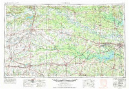
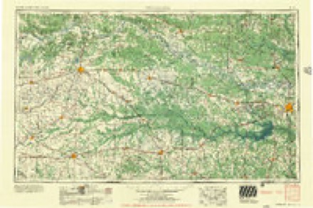
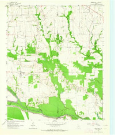
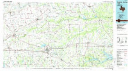
8 topographic sheets cover this place, the earliest surveyed in 1953 and the latest in 1991. It stands in the Bogata census division. It lies in ZIP code area 75417. The Survey maps it on the Cunningham quadrangle.
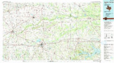
Topographic sheets covering this place
5 surveys from 8 printed sheetsMatched by testing this settlement's coordinate against the published boundary of every sheet in the United States Geological Survey's historical collection. Each opens the scanned sheet at the Survey.
- 1953 USGS Texarkana quadrangle1:250000, 4 printings
- 1956 USGS Texarkana quadrangle1:250000
- 1963 USGS Cunningham quadrangle1:24000
- 1985 USGS Sulphur Springs quadrangle1:100000
- 1991 USGS Sulphur Springs quadrangle1:100000
Fires near this place
197 since 1994Regional context, not property-specific evidence. The federal wildfire occurrence database lists 197 fires within 5 miles of Rugby between 1994 and 2020, burning about 1,592 acres in total. 3 started naturally. 11 were recorded as arson. Distance is straight-line from the map coordinates, so a fire counted here may appear on a neighbouring settlement's page as well.
| Reported cause | Fires |
|---|---|
| Debris and open burning | 93 |
| Missing data/not specified/undetermined | 54 |
| Equipment and vehicle use | 27 |
| Arson/incendiarism | 11 |
| Power generation/transmission/distribution | 5 |
| Recreation and ceremony | 3 |
| Natural | 3 |
| Other causes | 1 |
The most recent of them, most recent first, with the day each was reported and the service that recorded it.
| Date | Cause | Size | Reported by | Name on the report |
|---|---|---|---|---|
| 9 September 2011 | Equipment and vehicle use | 1.0 acres | Texas A & M Forest Service | LINDEN - 567 |
| 8 September 2015 | Power generation/transmission/distribution | under an acre | Texas A & M Forest Service | HWY 37N BRUSH FIRE 9/8 |
| 6 September 2016 | Debris and open burning | under an acre | Texas A & M Forest Service | 4TH SW GRASS FIRE 9/6 |
| 3 September 2007 | Equipment and vehicle use | under an acre | Texas A & M Forest Service | not named |
| 29 September 2008 | Equipment and vehicle use | 4.0 acres | Texas A & M Forest Service | not named |
| 28 September 2013 | Missing data/not specified/undetermined | under an acre | Texas A & M Forest Service | HWY 271N FIRE 9/28 |
| 21 September 1999 | Arson/incendiarism | 7.0 acres | Texas A & M Forest Service | not named |
| 19 September 2006 | Debris and open burning | 1.0 acres | Texas A & M Forest Service | not named |
Settlements close enough to share some of these fires:
Storms near this place
6 since 1996Regional context, not property-specific evidence. The National Weather Service names Rugby in 6 storm reports between 1996 and 2022: 3 hail, 1 flash flood, 1 funnel cloud, 1 tornado. The reports record 7 injuries. Each account below is quoted exactly as the forecast office filed it, from the NOAA Storm Events Database, and each date opens the federal record of that event.
| When | Event | Place named | Harm | What the report says |
|---|---|---|---|---|
| November 2022 | Tornado (EF4) | Rugby | 7 hurt, $2,000,000 | An EF-4 tornado initially touched down near the Fulbright community southwest of Clarksville. An aerial survey confirmed that the tornado damage was to tin metal roof panels that were peeled off of a plant on CR-1200. As the tornado continued northeast, near FM-411, a single family home had all of its walls removed with only the interior room left standing where a family of three sheltered where winds were estimated at 150 mph. After it crossed FM-411, it hit another single family home and collapsed all the walls, injuring a woman who left her vehicle to take shelter inside the home. The tornado continued on to CR-1275 where debarking of a few trees was first observed in addition to thousands of trees that were snapped and uprooted throughout the path of the tornado. It then crossed US-82, CR-2123, CR-2124, and FM-2283. At FM-2283, it destroyed a single family home along with several outbuildings. This area could not be surveyed at this location as debris removal had already begun. The tornado then continued to move along CR-2125 and CR-2030 before taking a more eastward jog across SH-37. At this point, it is estimated that it was about a third of a mile wide and it began to widen further as it demonstrated more widespread tree snaps and isolated debarking throughout the remainder of Red River County. After crossing SH-37, the tornado wiped a single family home off of its foundation north of Clarksville with large portions of the walls and roof carried several hundred yards northeast of the home. This damage was surrounded by widespread tree snaps with isolated debarking. This location was reviewed by a regional Quick Response Team (QRT) that determined the damage at this location was EF-4 with maximum winds of 170 mph. This was based on the construction of the home, the debris field spread 50-200 yards downstream from the home in small pieces, and the slab of the home being wiped clean. Ten people on the property of the home took shelter in an oil drain of a metal outbuilding that was completely destroyed with no injuries. The damage swath widened to approximately 0.6 miles northeast of Clarksville as it approached Acworth and continued to cross the Red River. Before it crossed the Red River, it collapsed all the walls on a single family home and completely destroyed Mount Olive Church. It then lifted a double-wide manufactured home off the ground near FM-1159 and threw it 50 yards with three dogs inside that all survived. The tornado then crossed the Red River into south-central McCurtain County, Oklahoma. |
| April 2020 | Funnel Cloud | Rugby | - | A wall cloud was observed west of Bogota. |
| March 2016 | Hail | Rugby | - | Dime size hail fell northwest of Bogota, and an estimated 50 mph wind gust blew a martin bird house off of the pole. |
| March 2008 | Hail | Rugby | - | Hail fell in the Rugby, Texas community. |
| April 2008 | Hail | Rugby | - | Hail was reported on the extreme east side of town. |
| May 1996 | Flash Flood | Rugby | - | no account filed |
Nearest settlements
The eight closest, with where each one stands in the county. Distances are straight-line, computed from the Geographic Names Information System coordinates.
| Map | Place | Distance | Sheets |
|---|---|---|---|
| Shadowland | 1.8 miles | 8 | |
| Halesboro | 3.0 miles | 8 | |
| Bogata | 3.3 miles | 8 | |
| Fulbright | 3.7 miles | 8 | |
| Rosalie | 4.9 miles | 8 | |
| Johntown | 7.2 miles | 8 | |
| Lone Star | 7.5 miles | 8 | |
| Pine Branch | 8.2 miles | 8 |
Provenance
This settlement is recorded in the Geographic Names Information System as feature 1380469. The sheet list is computed by point-in-boundary test against the United States Geological Survey's historical topographic inventory. Both are works of the United States government and carry no copyright under 17 U.S.C. 105.
Wildfire. Short, Karen C. 2022. Spatial wildfire occurrence data for the United States, 1992-2020 [FPA_FOD_20221014]. 6th Edition. Fort Collins, CO: Forest Service Research Data Archive. https://doi.org/10.2737/RDS-2013-0009.6 Collected with United States Government funding and usable without additional permissions or fees.
Storms. NOAA National Centers for Environmental Information, Storm Events Database https://www.ncei.noaa.gov/stormevents/ A work of the United States government, no copyright under 17 U.S.C. 105. Narratives are quoted verbatim from the National Weather Service report and are not edited or summarised.