 Block
BlockWayside, Texas
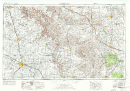
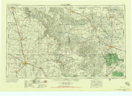
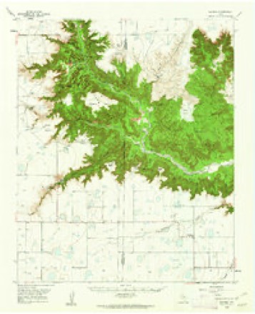
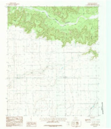
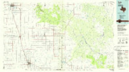
9 topographic sheets cover this place, the earliest surveyed in 1954 and the latest in 1985. It stands in the Claude South census division. It lies in ZIP code area 79042. The Survey maps it on the Wayside quadrangle. It stands 3,402 feet above sea level.
Topographic sheets covering this place
5 surveys from 9 printed sheetsMatched by testing this settlement's coordinate against the published boundary of every sheet in the United States Geological Survey's historical collection. Each opens the scanned sheet at the Survey.
- 1954 USGS Plainview quadrangle1:250000, 3 printings
- 1958 USGS Plainview quadrangle1:250000
- 1960 USGS Wayside quadrangle1:62500, 2 printings
- 1984 USGS Wayside quadrangle1:24000
- 1985 USGS Tulia quadrangle1:100000, 2 printings
Fires near this place
20 since 2006Regional context, not property-specific evidence. The federal wildfire occurrence database lists 20 fires within 5 miles of Wayside between 2006 and 2020, burning about 909 acres in total. 3 started naturally. 1 was recorded as arson. Distance is straight-line from the map coordinates, so a fire counted here may appear on a neighbouring settlement's page as well.
| Reported cause | Fires |
|---|---|
| Missing data/not specified/undetermined | 9 |
| Equipment and vehicle use | 4 |
| Natural | 3 |
| Power generation/transmission/distribution | 2 |
| Debris and open burning | 1 |
| Arson/incendiarism | 1 |
The most recent of them, most recent first, with the day each was reported and the service that recorded it.
| Date | Cause | Size | Reported by | Name on the report |
|---|---|---|---|---|
| 18 September 2015 | Equipment and vehicle use | 1.0 acres | Texas A & M Forest Service | GRASS FIRE AT DARREN JOHNSON FARM |
| 6 August 2019 | Power generation/transmission/distribution | 10 acres | Texas A & M Forest Service | MCGEHEE FARM GRASS FIRE |
| 23 August 2007 | Missing data/not specified/undetermined | 15 acres | Lake Meredith National Recreation Area | 1319-1 |
| 4 July 2017 | Missing data/not specified/undetermined | 25 acres | Texas A & M Forest Service | X-RAY ROAD |
| 13 July 2020 | Missing data/not specified/undetermined | 100 acres | Texas A & M Forest Service | 2020041 |
| 13 July 2020 | Natural | 2.0 acres | Texas A & M Forest Service | TREY MCGEHEE |
| 5 June 2006 | Missing data/not specified/undetermined | 40 acres | Texas A & M Forest Service | not named |
| 5 June 2006 | Missing data/not specified/undetermined | 40 acres | Texas A & M Forest Service | not named |
Storms near this place
60 of 70 shownRegional context, not property-specific evidence. The National Weather Service names Wayside in 70 storm reports between 1994 and 2024: 43 hail, 10 tornado, 6 thunderstorm wind, 5 flash flood. No death or injury is recorded in these reports. Each account below is quoted exactly as the forecast office filed it, from the NOAA Storm Events Database, and each date opens the federal record of that event.
| When | Event | Place named | Harm | What the report says |
|---|---|---|---|---|
| July 2024 | Hail | Wayside | $30,000 | Large hail fell for about 15 minutes at an outdoor adventure park on the north rim of the canyon with the largest hail up to around ping pong size. At least 3 RVs were damaged and had skylights broken out. Porta potties were also blown about 40 feet from the thunderstorm winds. |
| April 2007 | Thunderstorm Wind | Wayside | $8,000 | A five hundred gallon cattle feeder was blown over and pushed uphill fifty feet. |
| May 2002 | Thunderstorm Wind | Wayside | $6,000 | Telephone poles were reported broken along with metal twisted and tree limbs down. |
| April 2007 | Tornado (EF1) | Wayside | $4,000 | This tornado formed about two miles south of Wayside in Armstrong county at 1945 CST. Power poles were reported to be damaged and the public reported seeing the tornado drop into Palo Duro Canyon. No injuries were reported. |
| May 2019 | Hail | Wayside | - | Mping report received. |
| May 2019 | Tornado (EF0) | Wayside | - | Multiple reports of downed trees and powerlines due to a tornado along us Highway 207 in far southern Armstrong County. |
| September 2019 | Flood | Wayside | - | Heavy rain led to a landslide over Highway 207. |
| April 2015 | Hail | Wayside | - | Dime to ping pong ball size hail was reported on Highway 207 in Wayside. |
| November 2015 | Hail | Wayside | - | Golf ball size hail was reported 4 miles north-northeast of Wayside. |
| July 2015 | Flash Flood | Wayside | - | The intersection of Highway 207 and 285 flooded and impassible except for large trucks and 4-wheel drive vehicles. Highway 285 flooded in multiple locations between Highway 207 and Wayside. |
| May 2015 | Hail | Wayside | - | Two inch diameter hail was reported 20 miles south of Claude. |
| May 2015 | Hail | Wayside | - | Baseball size hail was reported 9 miles east-southeast of Wayside. |
| May 2015 | Hail | Wayside | - | Three inch diameter hail was reported 15 miles south of Claude. |
| May 2015 | Hail | Wayside | - | Golf ball size hail was reported 3 miles southeast of Wayside. |
| May 2015 | Hail | Wayside | - | Baseball size hail was reported in Wayside. |
| May 2015 | Flash Flood | Wayside | - | Slow moving thunderstorms producing very heavy rain caused flash flooding along Highway 207 approximately 6 miles east of Wayside. The heavy rain cause a mudslide along Highway 207 near the scenic overlook in Palo Duro Canyon. Other roads that were reportedly flooding include Farm to Market 285 near the curves in the road just west of Wayside. |
| September 2013 | Thunderstorm Wind | Wayside | - | Scattered discrete thunderstorms began to form into a broken line of thunderstorms during the early evening hours of the 27th. As one discrete thunderstorm neared the town of Wayside (Armstrong County), it produced a downburst which was measured to be 65 mph by the KVII Schoolnet site at Hidden Falls Ranch (Armstrong County). After producing this downburst the discrete thunderstorm merged into a broken line which moved eastward across the southern Texas Panhandle. |
| August 2013 | Heavy Rain | Wayside | - | A cluster of thunderstorms produced a period of intense rainfall over Armstrong County during the evening hours of the 14th. These thunderstorms led to water rising to the underside of the bridge of U.S. Highway 207 at the Prairie Dog Town Fork of the Red River. This minor flooding receded once the thunderstorm which produced the heavy rain moved south of the city. |
| August 2013 | Hail | Wayside | - | A cluster of thunderstorms moved southward across the southern Texas Panhandle during the evening hours of the 14th. The Armstrong County Emergency Manager reported ping pong ball size hail (1.50 inches) 8 miles east-northeast of Wayside (Armstrong County). The thunderstorms continued moving southward after producing this hail. |
| September 2010 | Hail | Wayside | - | The public reported that the quarter size hail had covered the ground. |
| September 2010 | Hail | Wayside | - | The public had reported that the golf ball size hail covered the ground. |
| July 2009 | Thunderstorm Wind | Wayside | - | The public estimated the thunderstorm wind gusts just northwest of Wayside. |
| April 2009 | Hail | Wayside | - | The public reported the hail at the Hidden Falls Church Camp at the rim of Palo Duro Canyon. |
| June 2008 | Flood | Wayside | - | The river gage at the Prairie Dog Town Fork of the Red River...located thirteen miles northeast of Wayside in southwestern Armstrong County...reached a crest of ten point thirty-seven feet. The flood stage is ten feet. No damage or injuries were reported. |
| August 2008 | Flood | Wayside | - | The river gage site at the Prairie Dog Town Fork of the Red River...located thirteen miles northeast of Wayside in southwestern Armstrong County...crested at a stage of ten point thirty-nine feet. The flood stage at this site is ten feet. No damage or injuries were reported. |
| April 2007 | Flood | Wayside | - | A strong storm system brought a round of thunderstorms which produced very heavy rainfall over the south central Texas Panhandle. National Weather Service Doppler radar estimated that one to two inches of rain fell in a seven mile wide strip across the Prairie Dog Town Fork of the Red River just upstream of the river gage site located thirteen miles northeast of Wayside Texas. The runoff from the intense heavy rain caused a rise on the river to just over the flood stage of ten feet. There was no reports of damage or injuries. |
| September 2007 | Flood | Wayside | - | Recent very heavy rainfall caused the Prairie Dog Town Fork of the Red River at the gage site located thirteen miles northeast of Wayside to rise to almost a foot above the flood stage of ten feet. The river crested at ten point eight feet. No damage or injuries were reported from this river flooding. |
| June 2007 | Hail | Wayside | - | Reported at the intersection of County Road 1 and Farm to Market Road 1258. |
| May 2005 | Thunderstorm Wind | Wayside | - | Tree limbs reported blown down. |
| June 2005 | Tornado (F0) | Wayside | - | A small rope tornado remained over open country and was verified by trained spotter's video. No damage or injuries were reported. The tornado path length and path width were estimated. |
| June 2005 | Tornado (F0) | Wayside | - | A second touchdown of the earlier tornado which was also verified by video from broadcast media. The small tornado remained over open country where it caused no damage or injuries. The tornado path length and path width were estimated. |
| June 2005 | Tornado (F0) | Wayside | - | The small tornado remained over open country and was verified by video from broadcast media. No damage or injuries were reported. The tornado path length and path width were estimated. |
| June 2005 | Tornado (F0) | Wayside | - | A small tornado remained over open country along State Highway 207 next to Prairie Dog Town Fork Creek. Three large trees were reportedly airborne by the tornado. The tornado path length and path width were estimated. No other damage or injuries were reported. |
| May 2002 | Tornado (F0) | Wayside | - | The tornado remained over open country and no damage or injuries were reported. The tornado path length and width were estimated. |
| May 2002 | Tornado (F0) | Wayside | - | The tornado remained over open country and no damage or injuries were reported. The tornado path length and width were estimated. |
| May 2002 | Tornado (F0) | Wayside | - | The tornado remained over open country and no damage or injuries were reported. The tornado path length and width were estimated. |
| April 1997 | Flash Flood | Wayside | - | Three feet of flood water covering the intersection of FM 285 and Highway 207. |
| April 1997 | Flash Flood | Wayside | - | River gage observer reported a house in Wayside had water around it. |
| April 1997 | Flash Flood | Wayside | - | River flood at WAYT2 crest was 10.19 feet according to DCP data. |
| May 1995 | Hail | Wayside | - | Early morning thunderstorms produced hail up to golf ball-size. Property damage occurred early in the outbreak with strong winds in Parmer County taking out pivot sprinklers, windmills, and power poles. Near the end of the outflow wind damage in Parmer County, a brief tornado hit a grain elevator complex. Total damage in Parmer County was estimate at $350,000. |
| May 2019 | Hail | Wayside | - | no account filed |
| May 2019 | Hail | Wayside | - | no account filed |
| July 2016 | Hail | Wayside | - | no account filed |
| July 2016 | Hail | Wayside | - | no account filed |
| June 2012 | Hail | Wayside | - | no account filed |
| April 2012 | Hail | Wayside | - | no account filed |
| April 2012 | Hail | Wayside | - | no account filed |
| May 2010 | Hail | Wayside | - | no account filed |
| August 2010 | Hail | Wayside | - | no account filed |
| May 2010 | Hail | Wayside | - | no account filed |
| July 2009 | Hail | Wayside | - | no account filed |
| June 2008 | Hail | Wayside | - | no account filed |
| April 2007 | Hail | Wayside | - | no account filed |
| March 2007 | Hail | Wayside | - | no account filed |
| May 2007 | Hail | Wayside | - | no account filed |
| April 2006 | Hail | Wayside | - | no account filed |
| May 2005 | Hail | Wayside | - | no account filed |
| June 2005 | Hail | Wayside | - | no account filed |
| June 2004 | Hail | Wayside | - | no account filed |
| May 2002 | Hail | Wayside | - | no account filed |
Nearest settlements
The eight closest, with where each one stands in the county. Distances are straight-line, computed from the Geographic Names Information System coordinates.
Elsewhere
Matched on this settlement's Geographic Names Information System number rather than its name, so it cannot be a different place of the same name in another state.
| Wikipedia article on Wayside | An encyclopaedic summary. Its text is share-alike, so it is linked here rather than copied. |
| Wikidata item Q7976863 | The structured record the population and elevation above come from. Public domain (CC0). |
Provenance
This settlement is recorded in the Geographic Names Information System as feature 1370958. The sheet list is computed by point-in-boundary test against the United States Geological Survey's historical topographic inventory. Both are works of the United States government and carry no copyright under 17 U.S.C. 105.
Wildfire. Short, Karen C. 2022. Spatial wildfire occurrence data for the United States, 1992-2020 [FPA_FOD_20221014]. 6th Edition. Fort Collins, CO: Forest Service Research Data Archive. https://doi.org/10.2737/RDS-2013-0009.6 Collected with United States Government funding and usable without additional permissions or fees.
Storms. NOAA National Centers for Environmental Information, Storm Events Database https://www.ncei.noaa.gov/stormevents/ A work of the United States government, no copyright under 17 U.S.C. 105. Narratives are quoted verbatim from the National Weather Service report and are not edited or summarised.