 Block
BlockFrom the record
2 National Register listings published here, 1 of them a National Historic Landmark.
Sources: the National Register database, National Park Service
27 topographic sheets and 2 fire insurance atlases across 1 place.
2 National Register listings published here, 1 of them a National Historic Landmark.
Sources: the National Register database, National Park Service
Taken for the Office of War Information and the Farm Security Administration, who photographed the country between 1935 and 1944. Works of United States government photographers, with no known restriction on use. Each opens its catalogue record.
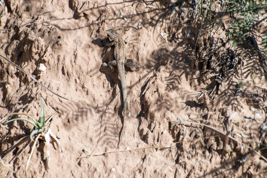
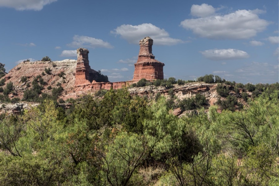
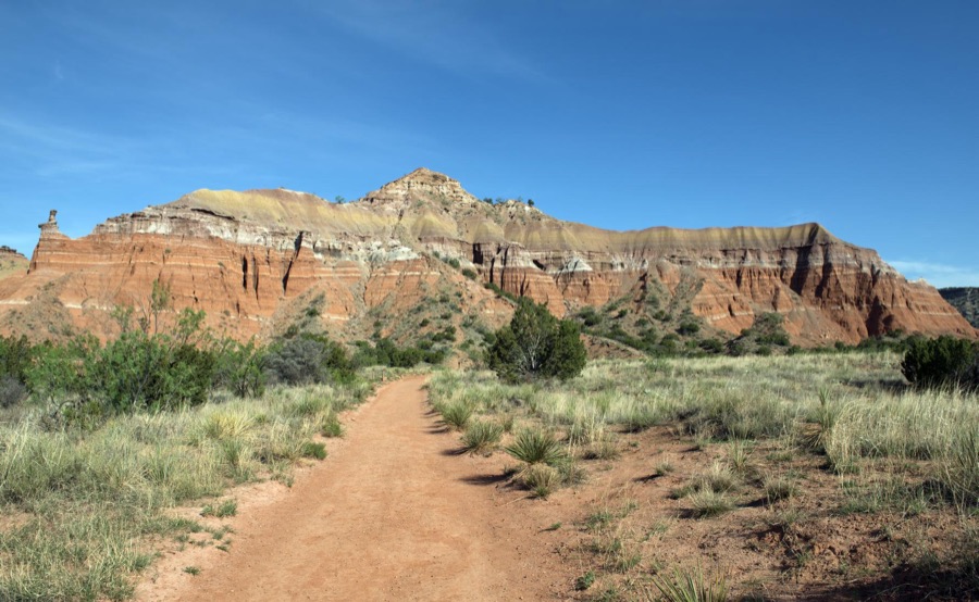
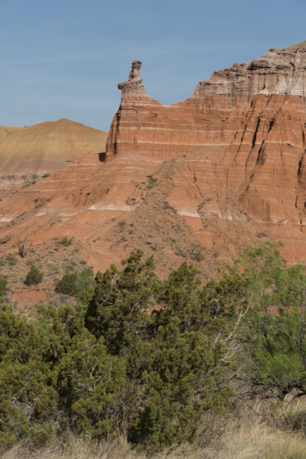
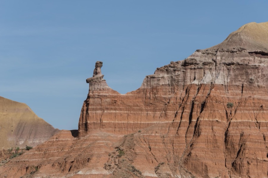
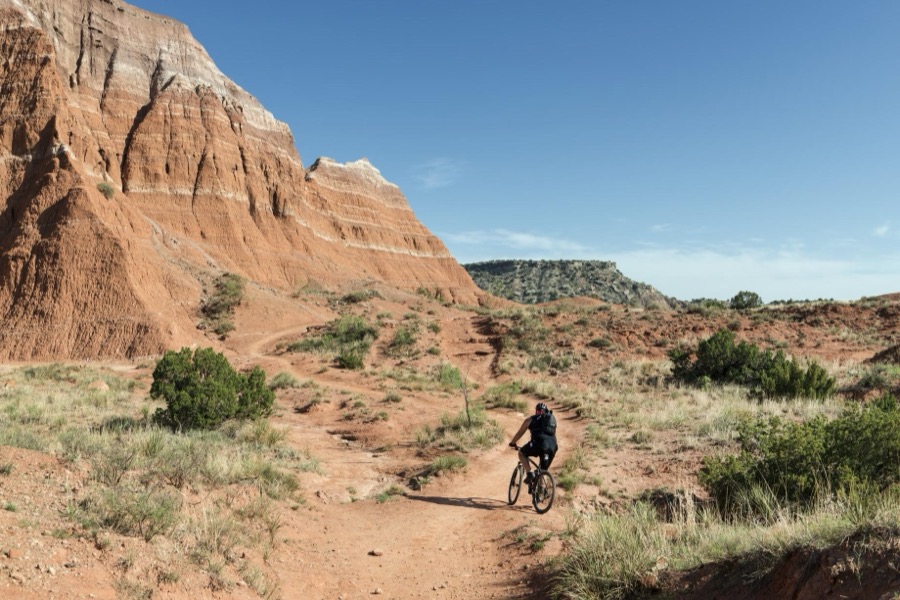

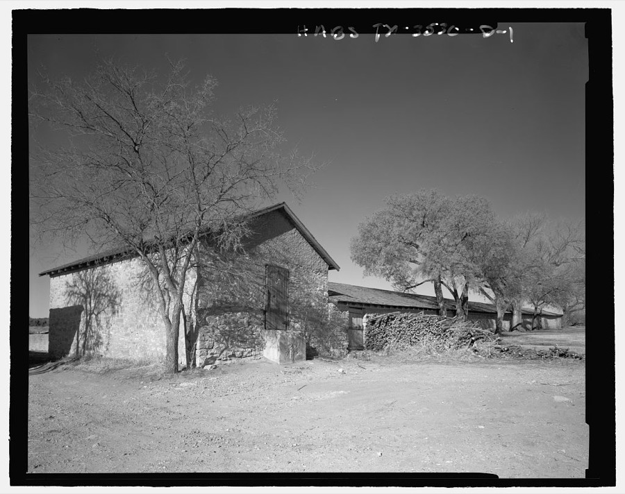
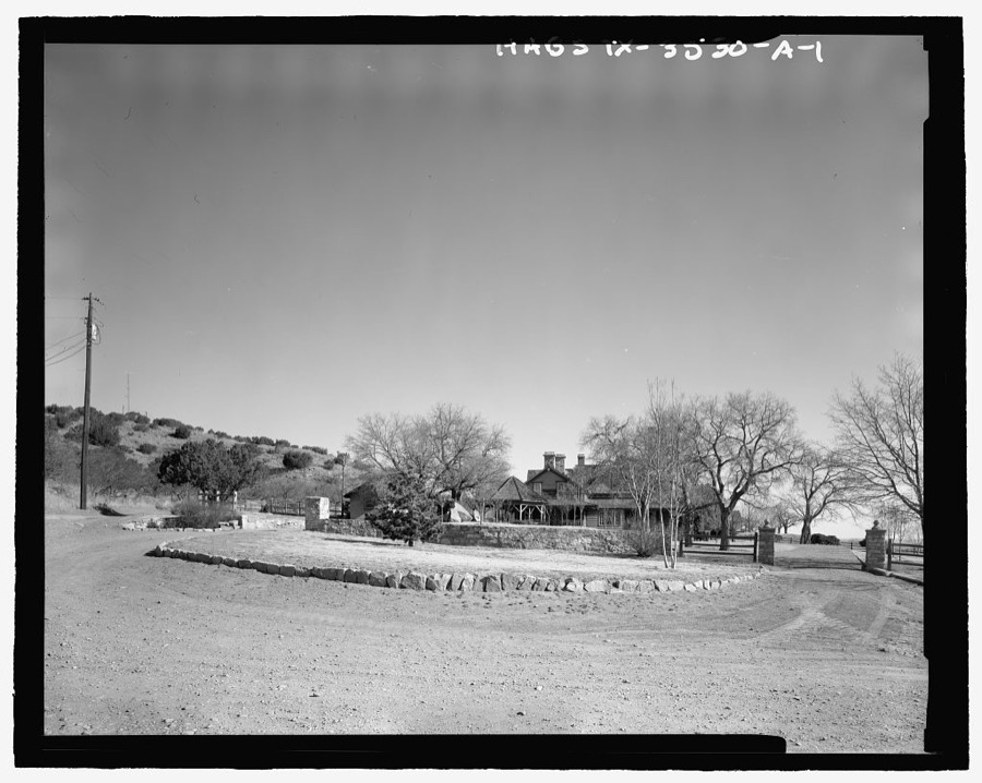
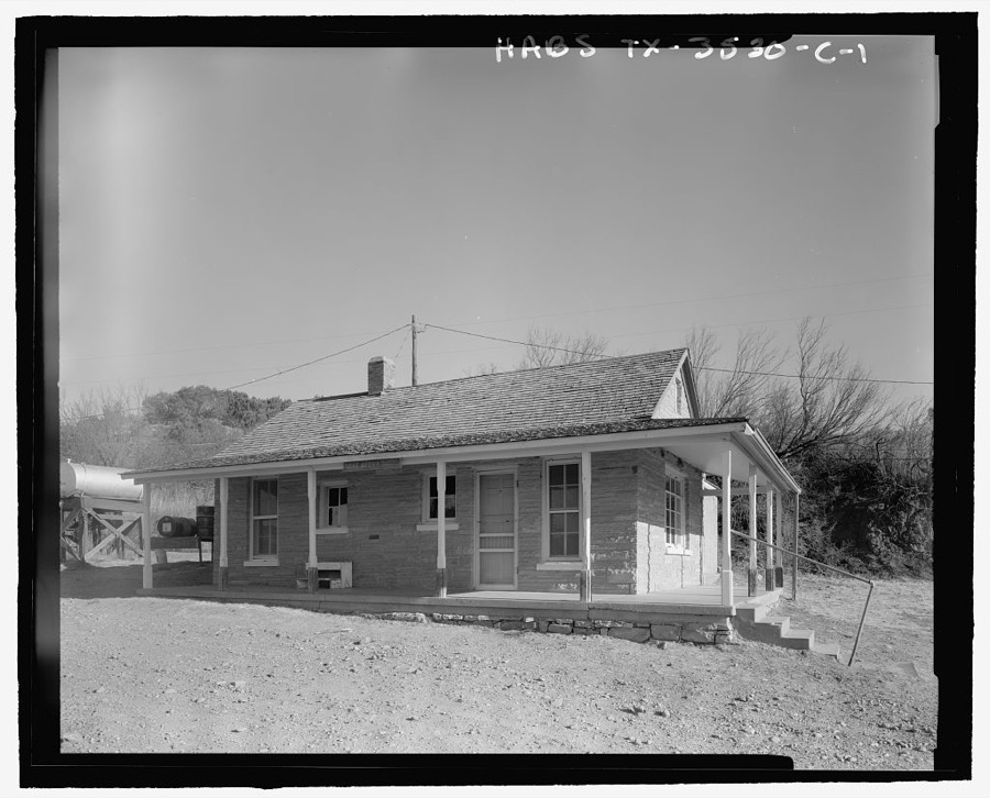
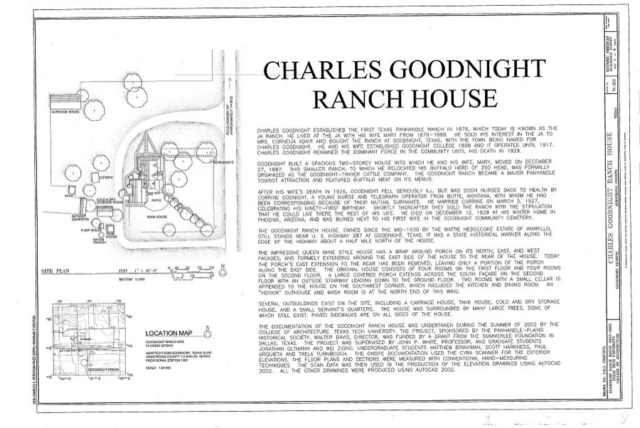
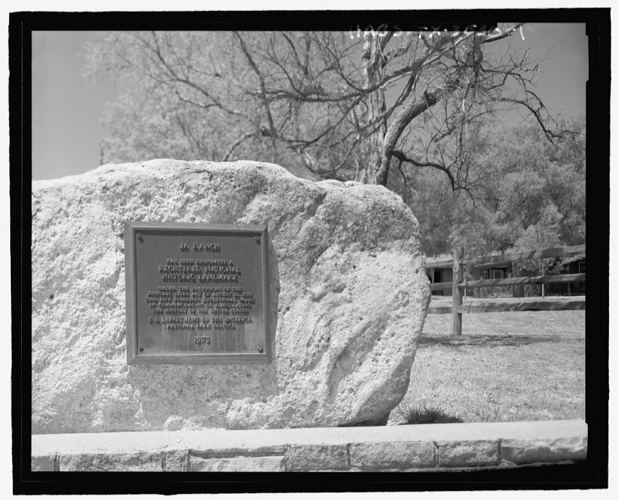
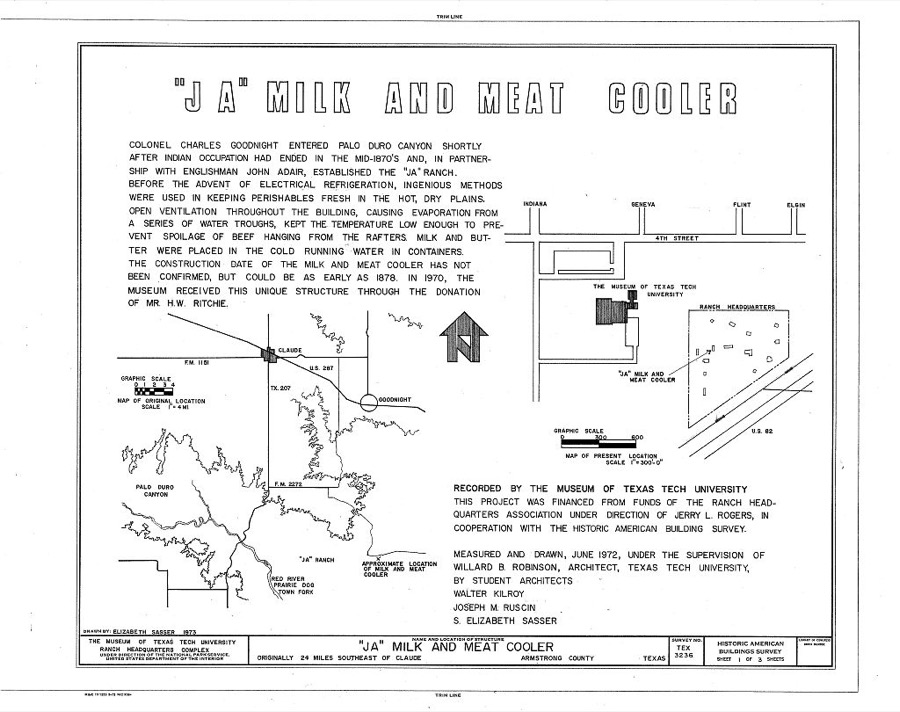
Every property in this county listed on the National Register of Historic Places, with the year it was listed and the federal nomination document.
| Photograph | Property | Type | Listed | Reference |
|---|---|---|---|---|
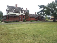 | Goodnight, Charles and Mary Ann (Molly), Ranch House | building | 2007 | 07000988 |
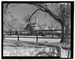 | J A Ranch | district | 1966 | 66000807 |
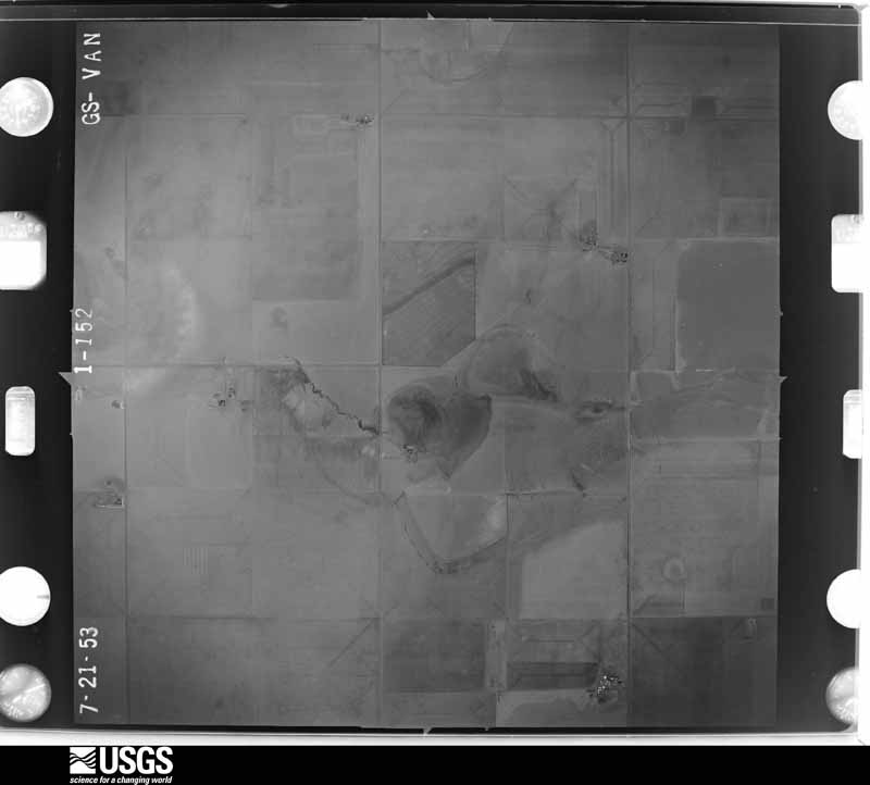
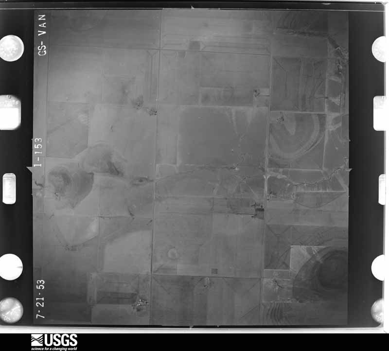
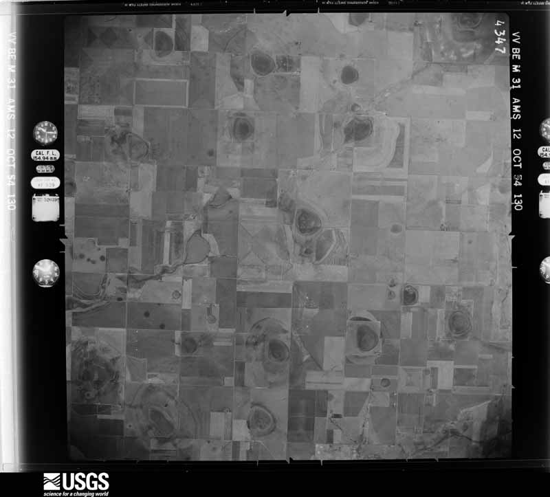
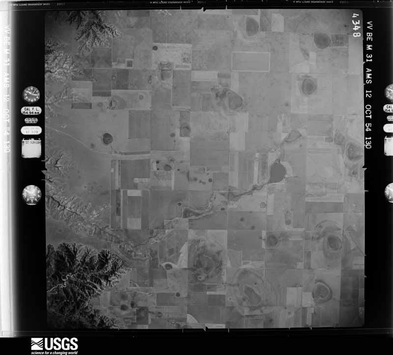
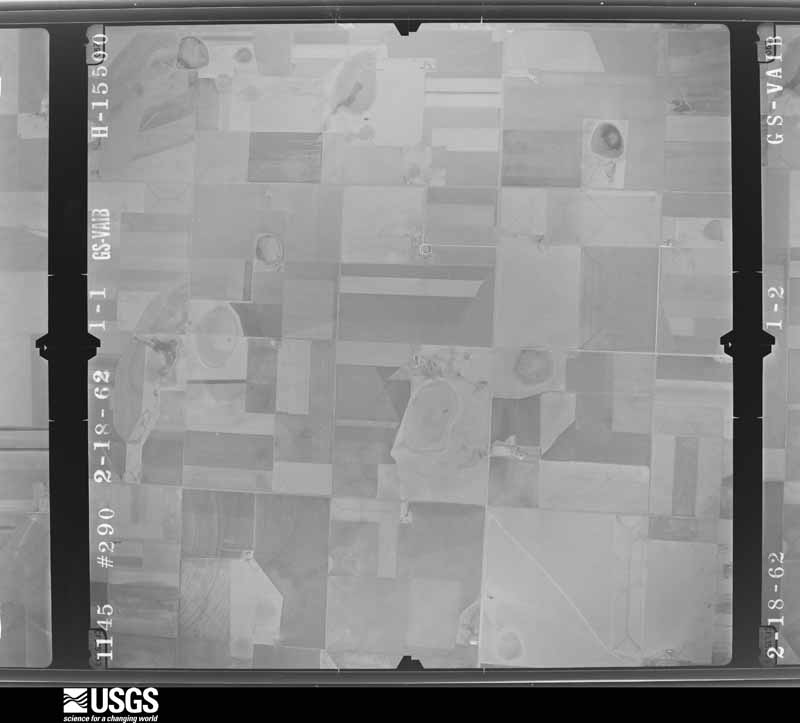
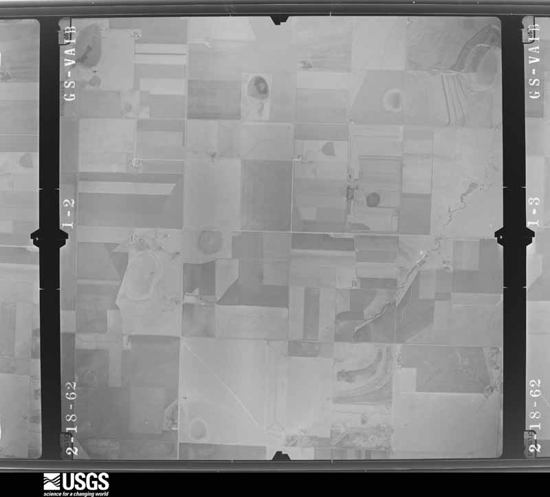
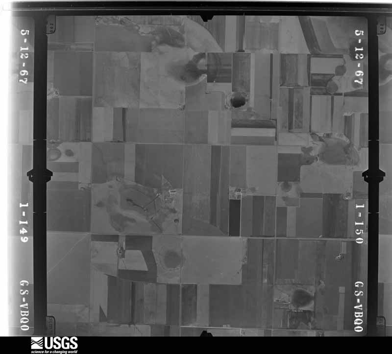
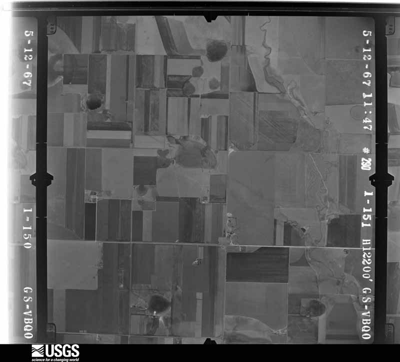
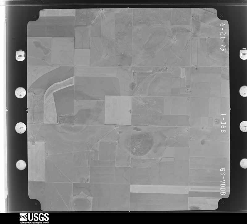
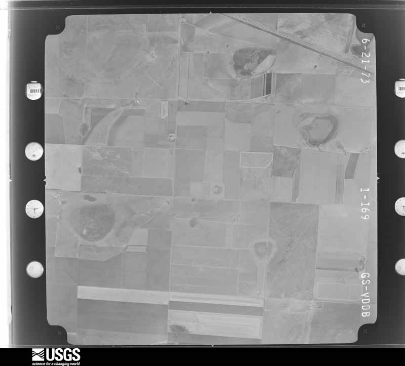
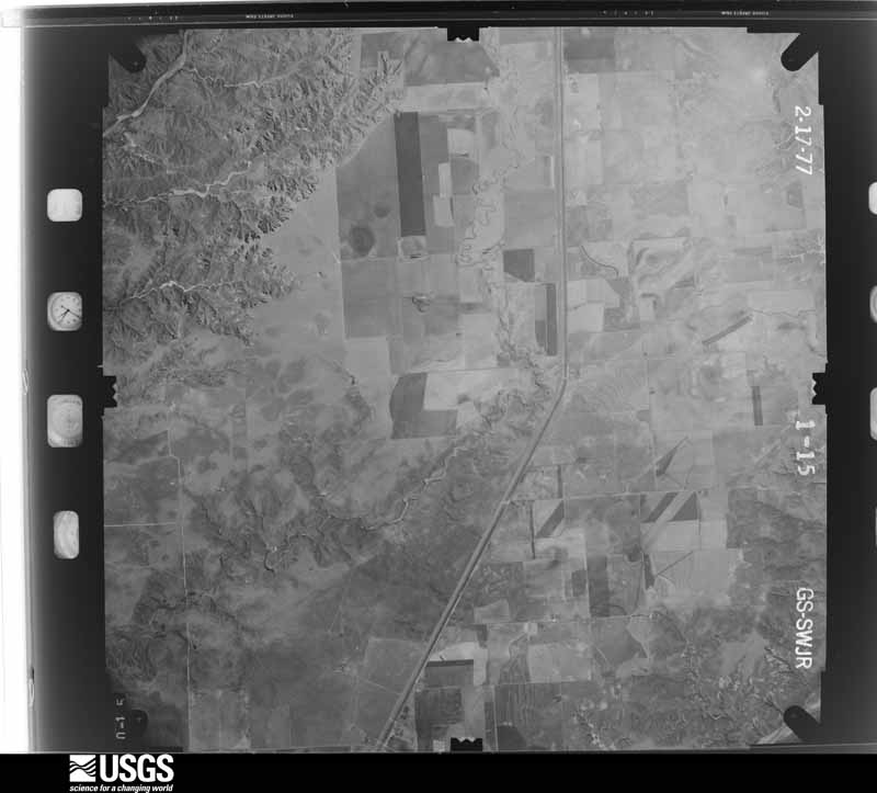
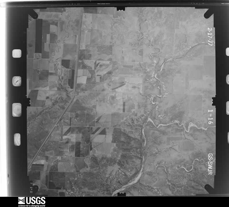
Flown by the U.S. Geological Survey between 1937 and 1989, the Aerial Photo Single Frames collection is the definitive mid-century view of the land: fields, roads and rivers as the camera saw them. The Survey holds 1,029 frames inside the rectangle that bounds this county; the 32 frames below were taken over the county itself, chosen across the decades of flights (at most four a year from that rectangle), so one flight cannot crowd out the rest. The full set is free to browse and download at EarthExplorer under the dataset Aerial Photo Single Frames.
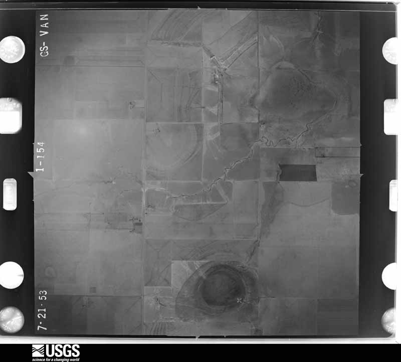
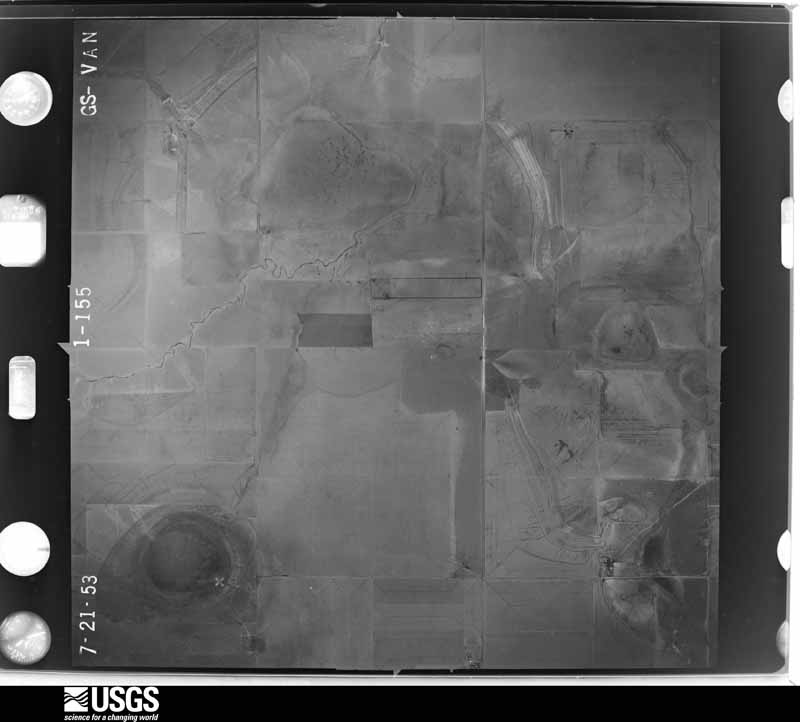
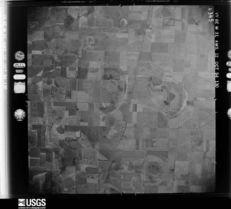
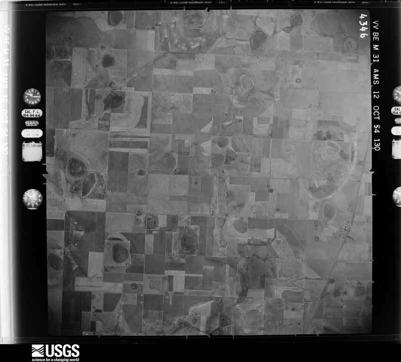
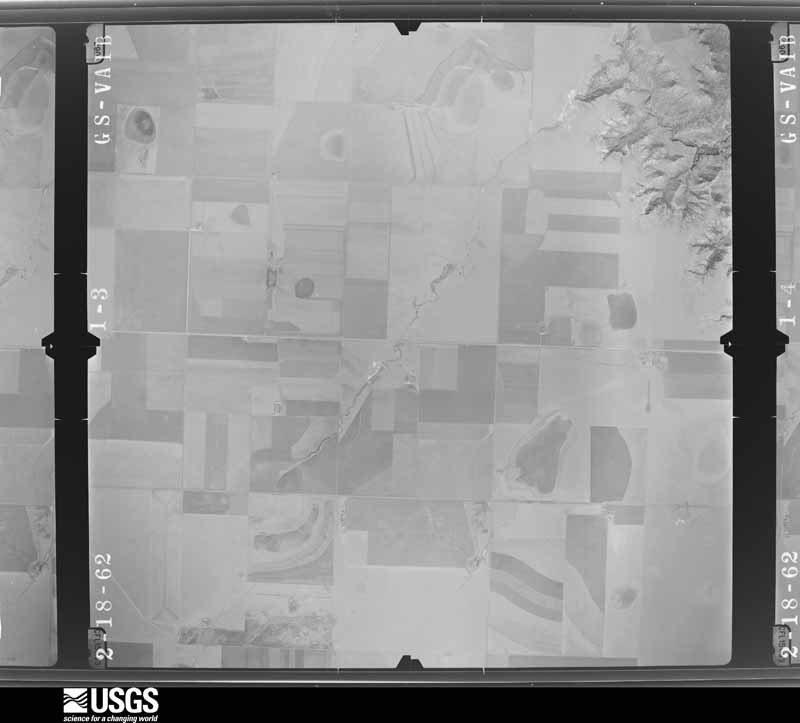
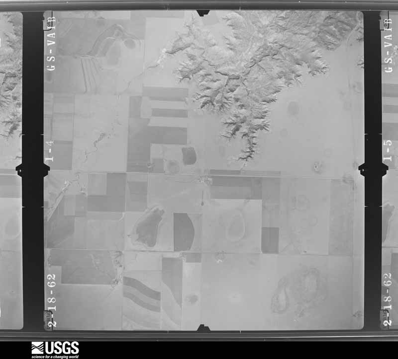




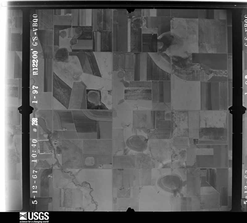
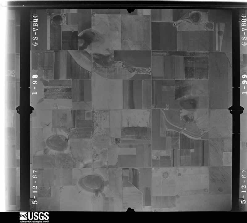
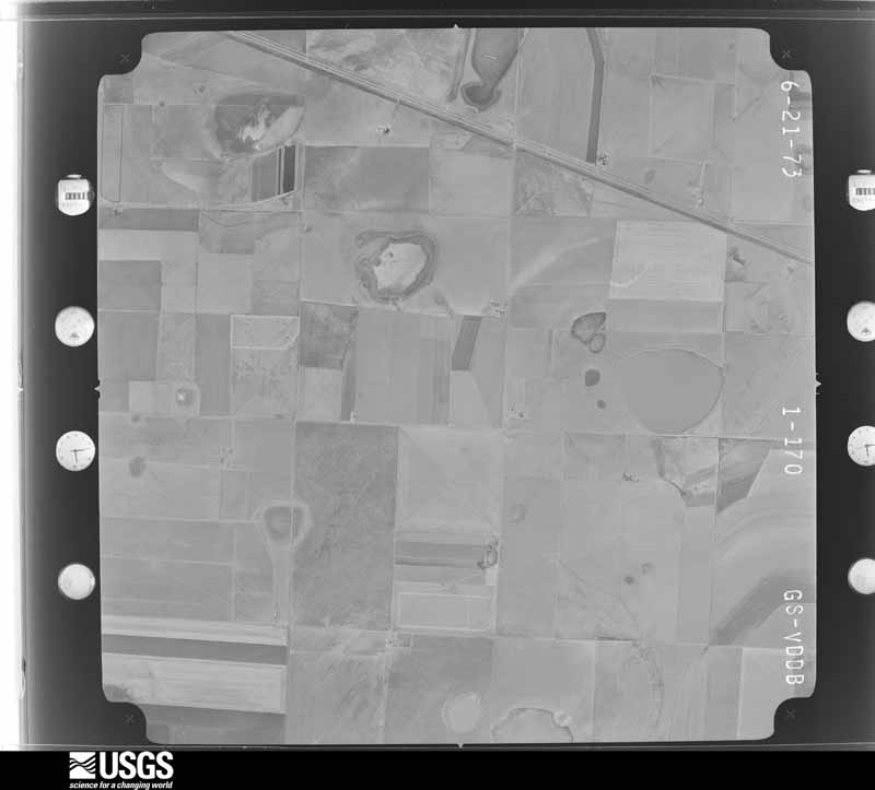
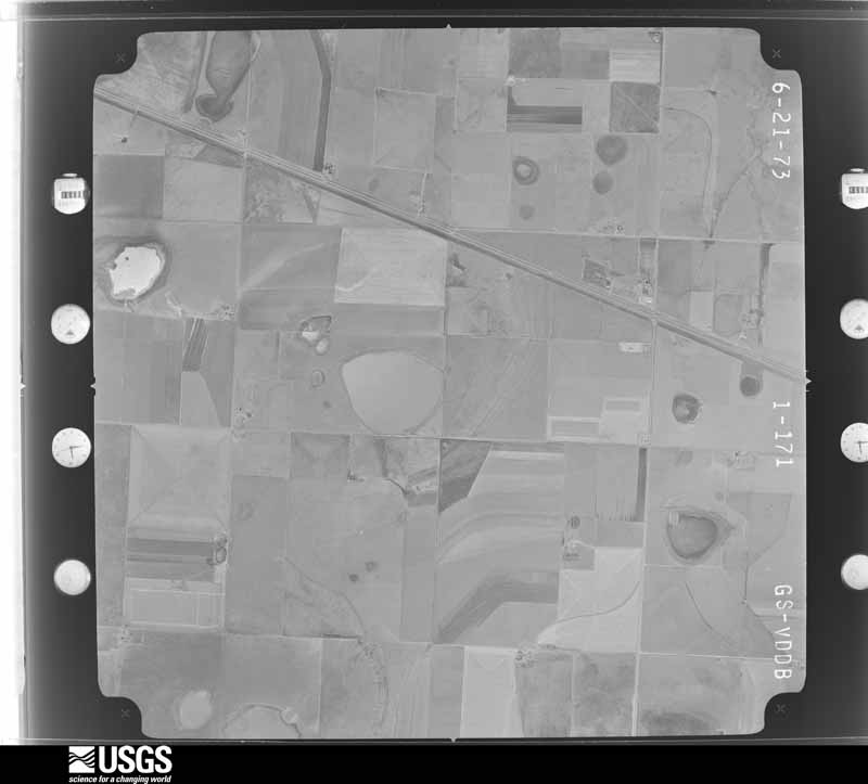
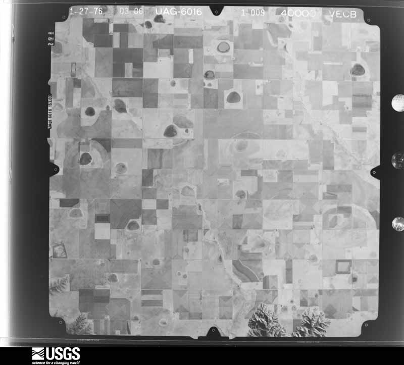
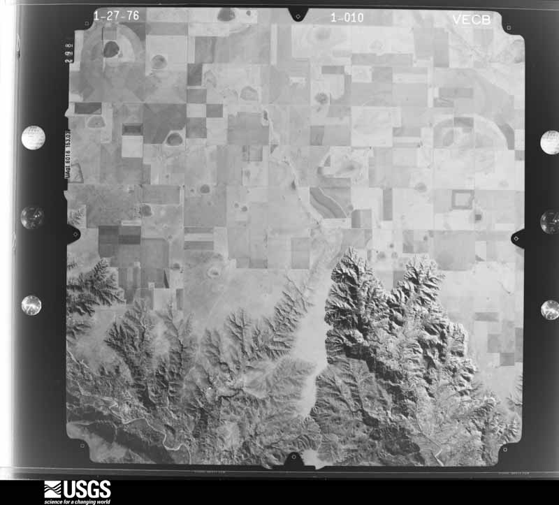
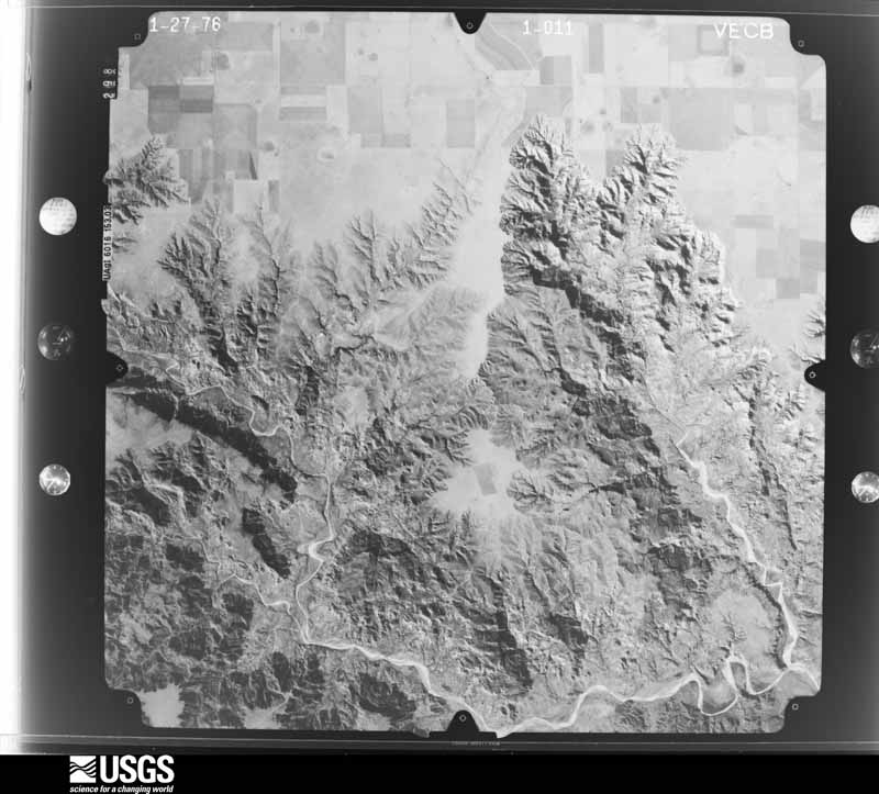
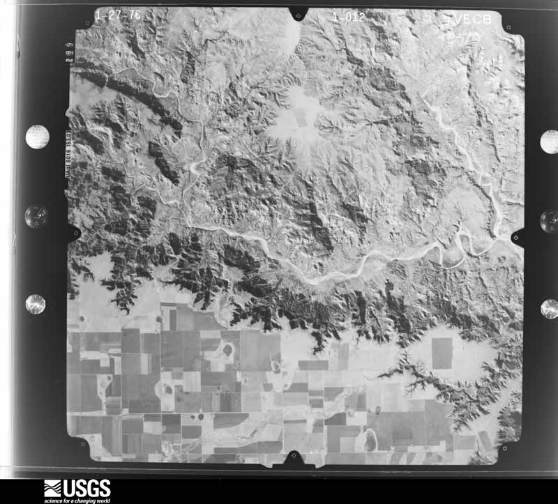
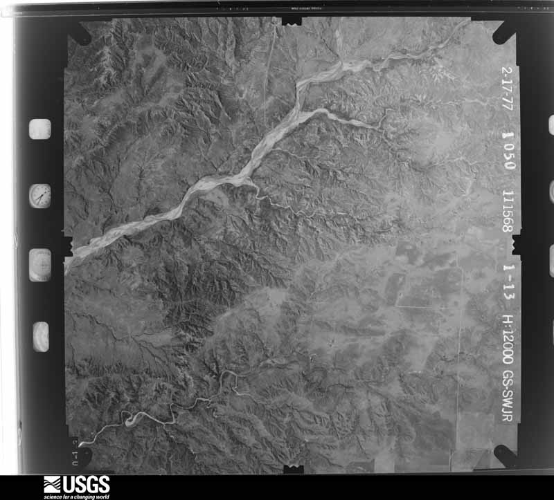
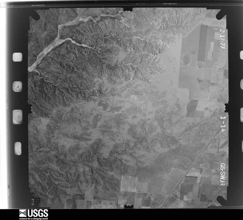
The thermometers that kept this county's weather, and the gages that measured the flow of its streams, as the federal records hold them. The extremes below are measured values from those records, not estimates.
Who lived here in 1950, one enumeration district at a time, as the Census Bureau described each district. Each row opens its official National Archives result, with Population Schedules and ED Maps available there.
Every wildfire the federal occurrence database records inside this county: 213 of them, burning about 124,290 acres. 63 started naturally and 4 were recorded as arson. Each settlement page carries the fires within five miles of it.
| Reported cause | Fires |
|---|---|
| Natural | 63 |
| Missing data/not specified/undetermined | 53 |
| Equipment and vehicle use | 45 |
| Debris and open burning | 17 |
| Railroad operations and maintenance | 12 |
| Power generation/transmission/distribution | 9 |
| Smoking | 9 |
| Arson/incendiarism | 4 |
| Recreation and ceremony | 1 |
The five largest, by the area the report gives. None of them was recorded as arson.
| Date | Cause | Size | Reported by | Name on the report |
|---|---|---|---|---|
| 8 May 2018 | Natural | 75,530 acres | Texas A & M Forest Service | MALLARD |
| 2 April 2018 | Debris and open burning | 14,824 acres | Texas A & M Forest Service | FM 294 |
| 21 May 2006 | Natural | 11,475 acres | Texas A & M Forest Service | PALO DURO EAST FIRE |
| 5 March 2002 | Debris and open burning | 4,200 acres | Texas A & M Forest Service | HIGH PLAINS - 1 |
| 18 April 2018 | Missing data/not specified/undetermined | 2,000 acres | Texas A & M Forest Service | ARMSTRONG COUNTY FIRE |
| 8 July 1998 | Missing data/not specified/undetermined | 1,602 acres | Texas A & M Forest Service | HARRELL RANCH FIRE |
| 24 August 2011 | Natural | 1,200 acres | Texas A & M Forest Service | ARMSTRONG ASSIST FIRE |
| 9 May 2018 | Missing data/not specified/undetermined | 1,000 acres | Texas A & M Forest Service | SUMMER FIELD |
Every settlement page carries the fires within five miles of it - see the settlement index below.
The NOAA Storm Events Database holds 507 reports for this county, causing no deaths, no injuries and about $1,195,370 in recorded property damage. Each settlement page carries the reports that name it.
| Kind of event | Reports |
|---|---|
| Hail | 318 |
| Thunderstorm Wind | 115 |
| Tornado | 48 |
| Flash Flood | 11 |
| Flood | 10 |
| Heavy Rain | 5 |
The most serious of them, by death, then injury, then recorded damage. The accounts are quoted exactly as the forecast office filed them.
| When | Event | Place named | Harm | What the report says |
|---|---|---|---|---|
| May 2013 | Thunderstorm Wind | Washburn | $500,000 | A decaying thunderstorm produced a localized downburst on US Highway 287 about 5 miles east of the Interstate 40 and US Highway 287 split (Armstrong County). A tractor trailer that was traveling on US Highway 287 was hit by this downburst and was blown over. No Injuries were relayed with this report from the Armstrong County Emergency Manager. |
| July 1995 | Hail | Claude | $100,000 | no account filed |
| March 2000 | Thunderstorm Wind | Claude | $80,000 | Power lines were blown down and there was damage to some barns. |
| June 1994 | Thunderstorm Wind | Claude | $50,000 | no account filed |
| September 2025 | Thunderstorm Wind | Washburn | $40,000 | A truck and camper flipped over on US 287 a mile east of Washburn. |
| August 1999 | Thunderstorm Wind | Claude | $40,000 | An eighteen wheeler truck was blown off the road. |
| June 2002 | Thunderstorm Wind | Claude | $35,000 | Cars were reported blown off the roads. Numerous trees and powerlines were also reported blown down. |
| July 2024 | Hail | Wayside | $30,000 | Large hail fell for about 15 minutes at an outdoor adventure park on the north rim of the canyon with the largest hail up to around ping pong size. At least 3 RVs were damaged and had skylights broken out. Porta potties were also blown about 40 feet from the thunderstorm winds. |
| March 2021 | Tornado (EF0) | Washburn | $30,000 | Continuation from a tornado that started in Randall County. The supercell underwent another odd handoff from the Palo Duro Canyon tornado near Highway 1258 which was documented by storm chasers in the area. Again, both the initial and new developing tornado co-existed for a period of time creating a wide damage path Near County Road 1 in Armstrong County. This tornado path remained in very rural country with few damage indicators and was likely stronger than suggested by the very limited rating. Along the path the tornado snapped a few small diameter power poles and destroyed a couple out buildings. It also pushed over a semi before it dissipated just north of Highway 287. |
| March 2007 | Thunderstorm Wind | Claude | $28,000 | Sheriff dispatch reported damage to the fire house and other buildings. |
| July 1987 | Tornado (F2) | not stated | $25,000 | no account filed |
| June 1984 | Tornado (F1) | not stated | $25,000 | no account filed |
| April 1973 | Tornado (F2) | not stated | $25,000 | no account filed |
| August 2006 | Thunderstorm Wind | Claude | $21,000 | A wood frame barn seven feet tall...fifty feet long...and twenty feet wide was moved twenty feet by the high winds. The barn crushed two horse trailers...a small grain silo and a chain link fence. |
| June 2025 | Hail | Claude | $20,000 | A supercell thunderstorm slowly moved through and south of Claude. It produced a swath of hail ranging from quarter size to grapefruit size. The largest hailstones that measured 3.5 inches and 4.25 inches occurred around ten miles south of Claude. |
| March 2021 | Tornado (EF1) | Washburn | $20,000 | This is a continuation of a tornado that started in Randall County. After crossing Palo Duro Canyon and the county line, the tornado stayed in open county and did minimal damage. It performed another rapid and complicated tornado handoff to the Palo Duro Canyon to Washburn tornado very close to the county line near the intersection of 1258 and Goathead Road as a new circulation took over. |
| July 2002 | Thunderstorm Wind | Claude | $20,000 | Damage was reported to the roofs of two barns. |
| May 1998 | Thunderstorm Wind | Washburn | $15,000 | Two vehicles were blown off U.S. Highway 287 with one overturned. |
| June 2008 | Tornado (EF0) | Claude | $11,000 | Photographic evidence supported a landspout tornado in Claude. The tornado destroyed a carport and snapped an eight inch diameter tree two feet above the ground. Also...house windows were blown out. The tornado path length and path width were estimated. |
| April 2007 | Thunderstorm Wind | Claude | $11,000 | At least eight irrigation pivots were damaged by the high winds. No injuries were reported. |
| June 2008 | Thunderstorm Wind | Washburn | $9,000 | The public reported that the thunderstorm wind gust lifted shingles off the roof of a home. |
| August 2007 | Thunderstorm Wind | Washburn | $9,000 | The roof was reported blown off of a barn with additional tree and shingle damage in the town of Washburn. No injuries were reported. |
| April 2007 | Thunderstorm Wind | Wayside | $8,000 | A five hundred gallon cattle feeder was blown over and pushed uphill fifty feet. |
| May 2002 | Thunderstorm Wind | Wayside | $6,000 | Telephone poles were reported broken along with metal twisted and tree limbs down. |
| March 2021 | Flood | Claude | $5,000 | Minor street flooding in the city of Claude. Some accumulating hail being reported as well. Lasted from about 1630 CST to 1800 CST. |
| July 2021 | Thunderstorm Wind | Washburn | $5,000 | A roof was taken off of a front porch. Also a heavy duty swing-set was blown over and several tree limbs were blown down. |
| July 1999 | Thunderstorm Wind | Washburn | $5,000 | A storage building was blown over and large tree branches were downed. |
| June 1994 | Thunderstorm Wind | Washburn | $5,000 | no account filed |
| April 2007 | Tornado (EF1) | Wayside | $4,000 | This tornado formed about two miles south of Wayside in Armstrong county at 1945 CST. Power poles were reported to be damaged and the public reported seeing the tornado drop into Palo Duro Canyon. No injuries were reported. |
| September 2025 | Flash Flood | Claude | $3,000 | Highway 207 between Conway and Claude was closed due to three feet of water over the highway. |
| April 2010 | Tornado (EF1) | Goodnight | $3,000 | The tornado touched down three miles south of Goodnight in Armstrong County at 1620 CST and then lifted at 1643 CST eight miles northeast of Goodnight. The tornado was on the ground for approximately eleven miles with a maximum path width of one hundred yards. Two power poles were reported broken just southwest of Goodnight along with considerable damage to barbed wire fencing. |
| June 1984 | Tornado (F1) | not stated | $2,500 | no account filed |
| May 1975 | Tornado (F0) | not stated | $2,500 | no account filed |
| June 2008 | Hail | Washburn | $2,000 | The public reported that the large hail broke the windshield on a vehicle and also broke a window of a home. |
| June 2012 | Thunderstorm Wind | Claude | $250 | The Texas Department of Transportation reported that thunderstorm wind gusts blew down three inch diameter tree limbs from a pine tree. There were no reports of injuries or fatalities. |
| May 1982 | Tornado (F0) | not stated | $30 | no account filed |
| May 1982 | Tornado (F0) | not stated | $30 | no account filed |
| May 1977 | Tornado (F1) | not stated | $30 | no account filed |
| May 1977 | Tornado (F1) | not stated | $30 | no account filed |
| March 2026 | Thunderstorm Wind | Goodnight | - | A 58mph wind gust was measured from a shower near the Goodnight mesonet site. |
| June 2025 | Thunderstorm Wind | Goodnight | - | The mesonet station located 15 miles west southwest of Clarendon gusted to 65 mph at 1640CDT and continued to gust above 58 mph until 1646CDT. The peak gust of 83 mph occurred at 1642CDT. |
| September 2025 | Thunderstorm Wind | Claude | - | A peak wind gust of 64mph was measured at the mesonet site located ten miles east-northeast of Palo Duro Canyon. This occurred at 901pm. The first severe wind gust of 60mph was measured at 8:58pm and the last severe wind gust of 59mph was measured at 9:03pm. |
| September 2024 | Thunderstorm Wind | Claude | - | A photo of a land spout was submitted via | social media. No damage was reported. |
| June 2023 | Hail | Goodnight | - | The sizes of hail reported were between 1.5 and 2.75 in diameter. |
| June 2023 | Tornado (EFU) | Goodnight | - | This tornado was viewed by storm spotters and captured on video footage. However, it did not produce damage and was generally in an open field. |
| May 2022 | Thunderstorm Wind | Goodnight | - | Mesonet station located SE of Claude. |
| April 2022 | Hail | Washburn | - | Multiple reports of 1 to 1.25 in diameter were received between 1918 CDT and 1926 CDT across portions of southwest Amarillo. Some of these reports came in from NWS employees and some came from the public. |
| April 2022 | Hail | Goodnight | - | Several reports from a storm chaser came in for hail between 1 and 1.75 in diameter along HWY 207 south of Claude. |
| May 2022 | Thunderstorm Wind | Goodnight | - | From the station located SE of Claude. |
| July 2022 | Thunderstorm Wind | Claude | - | First wind gust was 58 mph at 1817CDT. Peak wind gust of 71 mph was measured at 1825CDT. Last severe wind gust of 65 mph was measured at 1831CDT. |
| March 2021 | Hail | Claude | - | A severe thunderstorm dropped large hail from penny size to golf ball size hail across the city of Claude. |
| March 2021 | Tornado (EFU) | Goodnight | - | The track of this tornado is not accessible by road, but was noted on radar and documented by storm chasers in the area. |
| July 2021 | Hail | Claude | - | Reported mostly quarter size hail with a few stones as large as golf balls. It was also said that a cotton field two miles to the west was completely destroyed. |
| June 2020 | Hail | Washburn | - | Quarter size hail fell 3 miles east-southeast of Washburn. |
| June 2020 | Thunderstorm Wind | Claude | - | The West Texas Mesonet station 12 miles southwest of Claude measured gusts in the 63 to 68 MPH range during this time period. The highest gust of 68 MPH occurred at 20:15. |
| July 2020 | Thunderstorm Wind | Goodnight | - | This gust was measured at the JA Ranch West Texas Mesonet station located 4 miles east of Palo Duro. |
| July 2020 | Thunderstorm Wind | Goodnight | - | The JA Ranch West Texas Mesonet station located 4 miles east of Palo Duro measured gusts in the 59 to 66 MPH range. The highest gust of 66 MPH occurred at 1555CST. |
| June 2019 | Thunderstorm Wind | Washburn | - | Late report from social media, of wooden structures being blown over and damaged. |
| June 2019 | Tornado (EF0) | Goodnight | - | Based on a National Weather Service damage survey, this tornado touched down around 1043 PM, 4 miles southeast of Goodnight and lifted at approximately 1049 PM CDT, 4 miles east of Goodnight, TX. The tornado was rated an EF-0 with an estimated peak wind speed of 70 mph, consistent with the minor damaged observed. |
| June 2019 | Tornado (EF0) | Goodnight | - | Based on a National Weather Service damage survey, this tornado touched down around 1055 pm, 5 miles east of Goodnight and lifted at approximately 1104 pm CDT, 4 miles east-northeast of goodnight. The tornado was rated an EF-0 with an estimated peak wind speed of 85 mph consistent with damage observed. |
The Survey's mineral resources record lists 5 workings inside this county. 4 still produce and 1 is closed or unrecorded. Each settlement page carries the workings within five miles of it.
| Commodity | Workings |
|---|---|
| Sand and Gravel, Construction | 4 |
| Diatomite | 1 |
The least common of them first, because a county's hundredth gravel pit says nothing its first ten did not.
| Where | Site | Commodity | Status | Recorded |
|---|---|---|---|---|
| Unknown | Diatomite | Unknown | ||
| Box Canyon Pit | Sand and Gravel, Construction | Producer | ||
| Currie Pit | Sand and Gravel, Construction | Producer | Gravel, Sand | |
| Mc Geehee No. 2 Pit | Sand and Gravel, Construction | Producer | Gravel | |
| Panhandle Gravel West Currie Pit | Sand and Gravel, Construction | Producer |
Named settlements recorded in the Geographic Names Information System, each with the topographic sheets covering it. Villages, hamlets and abandoned places alike. Each is shown with the nearest named watercourse or landform and the survey quadrangle it falls on. The 1 place that was also surveyed for fire insurance comes first, with the number of atlases and photographs held for them.
The complete index, with nothing left out. Each of these is a separate record with its own page: a federal survey report, or the case file that argued a property on to the National Register. Both are public domain and reproduced word for word.