 Block
BlockYoungsport, Texas
15 topographic sheets cover this place, the earliest surveyed in 1893 and the latest in 1985. It stands in the Southwest Bell census division. It lies in ZIP code area 76542. It stands on Stillman Valley Creek. The Survey maps it on the Youngsport quadrangle.
Topographic sheets covering this place
4 surveys from 15 printed sheetsMatched by testing this settlement's coordinate against the published boundary of every sheet in the United States Geological Survey's historical collection. Each opens the scanned sheet at the Survey.
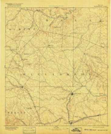
- 1893 USGS Georgetown quadrangle1:125000, 5 printings
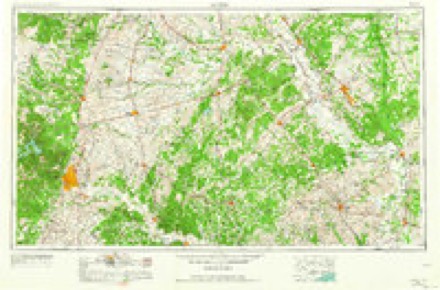
- 1954 USGS Austin quadrangle1:250000, 4 printings
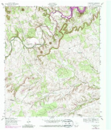
- 1958 USGS Youngsport quadrangle1:24000, 4 printings
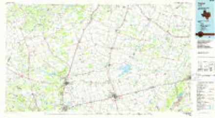
- 1985 USGS Taylor quadrangle1:100000, 2 printings
Fires near this place
223 since 2002Regional context, not property-specific evidence. The federal wildfire occurrence database lists 223 fires within 5 miles of Youngsport between 2002 and 2020, burning about 940 acres in total. None started naturally. 3 were recorded as arson. Distance is straight-line from the map coordinates, so a fire counted here may appear on a neighbouring settlement's page as well.
| Reported cause | Fires |
|---|---|
| Debris and open burning | 105 |
| Missing data/not specified/undetermined | 92 |
| Equipment and vehicle use | 15 |
| Recreation and ceremony | 4 |
| Arson/incendiarism | 3 |
| Smoking | 2 |
| Power generation/transmission/distribution | 2 |
The most recent of them, most recent first, with the day each was reported and the service that recorded it.
| Date | Cause | Size | Reported by | Name on the report |
|---|---|---|---|---|
| 7 September 2015 | Equipment and vehicle use | 30 acres | Texas A & M Forest Service | BROOKING FIRE |
| 3 September 2015 | Debris and open burning | 4.0 acres | Texas A & M Forest Service | HICKORY DR. |
| 25 September 2011 | Arson/incendiarism | under an acre | Texas A & M Forest Service | 195 BRENDA |
| 22 September 2015 | Missing data/not specified/undetermined | 2.8 acres | Texas A & M Forest Service | RIGHT AWAY |
| 20 September 2008 | Recreation and ceremony | under an acre | Texas A & M Forest Service | not named |
| 19 September 2015 | Power generation/transmission/distribution | under an acre | Texas A & M Forest Service | DEER RUN |
| 19 September 2006 | Debris and open burning | 1.0 acres | Texas A & M Forest Service | not named |
| 10 September 2014 | Debris and open burning | 11 acres | Texas A & M Forest Service | LLAMA RANCH |
Settlements close enough to share some of these fires:
Storms near this place
6 since 1998Regional context, not property-specific evidence. The National Weather Service names Youngsport in 6 storm reports between 1998 and 2024: 4 hail, 1 thunderstorm wind, 1 tornado. The reports record 23 injuries. Each account below is quoted exactly as the forecast office filed it, from the NOAA Storm Events Database, and each date opens the federal record of that event.
| When | Event | Place named | Harm | What the report says |
|---|---|---|---|---|
| April 2022 | Tornado (EF3) | Youngsport | 23 hurt | This tornado began in northern Williamson County and additional information about the beginning of this tornado track can be found from the NWS Austin/San Antonio office.||Video evidence taken on the ground during the tornadic event, and areal footage of the damage track show the parent circulation produced at least 3 small, brief tornadoes while the storm circulation was near and east of the county line. Scattered damage points and small paths are making it difficult to determine which areas may have been impacted by each of these smaller tornadoes before the parent tornado formed. Therefore, in the area just east of the Williamson/Bell County line, the damage extent of the tornadic track has been widened to include all the known damage points (all EF-0s or EF-1s). In this case, since it is too difficult to discern the smaller tracks, and because they all formed from the same parent circulation within a short amount of time of each other, they will all be considered one tornado. The maximum width listed will remain the maximum width of the parent tornado (the EF-3 tornado).||The tornado, which began in northern Williamson County, entered extreme southern Bell County north of the junction between Bell County Road 231 and FM 2843. In this area there was a narrow swath of tree damage consistent with EF-0 intensity wind speeds, with some damage to outbuildings as well. The tornado moved east-northeast and intersected FM 2843, where the damage to trees and structures became much more significant. At least 15-20 damaged homes were visible to the survey team on both sides of FM 2843, with the most significant damage concentrated near the junction of FM 2843 and Buttermilk Road. In this vicinity, at least 10 structures suffered EF-2 to EF-3 intensity damage, with a small cluster of homes experiencing estimated peak tornado wind speeds of 150 to 165 mph. These structures had all or most of their roofs removed, and some of them had one or more exterior walls collapsed. Two churches along FM 2843 in the vicinity of Buttermilk Road were seriously damaged, with roofing material removed and multiple walls collapsed. Numerous vehicles in the area had significant damage consistent with being rolled or having flying projectiles thrown into them. Many hardwood trees along the FM 2843 corridor in the tornado path were uprooted or snapped, and many power poles were also snapped.||Beyond Buttermilk Road, the tornado continued traveling east-northeastward another 1.5 miles along FM 2843, then began a sharp turn to the northeast and eventually a northerly direction. Aerial footage allowed us to track the damage through inaccessible areas where notable tree damage, damage to homes and barns was observed along the path of the tornado.||The tornado reached Crows Ranch Rd and damaged aluminum panels of the roof of a home and blew in the panel garage door. It continued over a ridge line, then intensified again shortly before crossing FM 2484. It uprooted many large trees, shifted a large barn's walls, lifted roof panels off a shed, and caused significant damage to a residence. The residence's roof was almost entirely removed from the structure, and a section of the south facing wall was blown in. The east facing wall was completely blown out, all consistent with a high-end EF2 rating in this location. The tornado then continued northwest into the South Shore neighborhood, and then into Union Grove Park where it lifted shortly after moving onto Stillhouse Hollow Lake. |
| October 1998 | Thunderstorm Wind | Youngsport | $50,000 | Trees were uprooted and a house was destroyed by thunderstorm winds. |
| May 2024 | Hail | Youngsport | - | Broadcast media reported quarter hail in far southern Bell County. |
| May 2008 | Hail | Youngsport | - | Nickel-size hail was reported near the Youngsport community. |
| May 2001 | Hail | Youngsport | - | no account filed |
| March 2000 | Hail | Youngsport | - | no account filed |
Nearest settlements
The eight closest, with where each one stands in the county. Distances are straight-line, computed from the Geographic Names Information System coordinates.
| Map | Place | Distance | Sheets |
|---|---|---|---|
| Ding Dong | 3.3 miles | 15 | |
| Mountain View Estates | 4.0 miles | 16 | |
| Cedar Valley | 4.2 miles | 15 | |
| Maxdale | 6.6 miles | 15 | |
| Union Grove | 6.9 miles | 19 | |
| Prairie Dell | 8.9 miles | 14 | |
| Harker Heights | 9.3 miles | 18 | |
| Salado | 9.6 miles | 14 |
Elsewhere
Matched on this settlement's Geographic Names Information System number rather than its name, so it cannot be a different place of the same name in another state.
| Wikipedia article on Youngsport | An encyclopaedic summary. Its text is share-alike, so it is linked here rather than copied. |
| Wikidata item Q113349918 | The structured record the population and elevation above come from. Public domain (CC0). |
Provenance
This settlement is recorded in the Geographic Names Information System as feature 1372070. The sheet list is computed by point-in-boundary test against the United States Geological Survey's historical topographic inventory. Both are works of the United States government and carry no copyright under 17 U.S.C. 105.
Wildfire. Short, Karen C. 2022. Spatial wildfire occurrence data for the United States, 1992-2020 [FPA_FOD_20221014]. 6th Edition. Fort Collins, CO: Forest Service Research Data Archive. https://doi.org/10.2737/RDS-2013-0009.6 Collected with United States Government funding and usable without additional permissions or fees.
Storms. NOAA National Centers for Environmental Information, Storm Events Database https://www.ncei.noaa.gov/stormevents/ A work of the United States government, no copyright under 17 U.S.C. 105. Narratives are quoted verbatim from the National Weather Service report and are not edited or summarised.