Block
BlockFrom the record
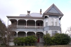
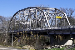
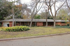
72 National Register listings published here.
Sources: the National Register database, National Park Service
114 topographic sheets and 24 fire insurance atlases across 4 places.
72 National Register listings published here.
Sources: the National Register database, National Park Service
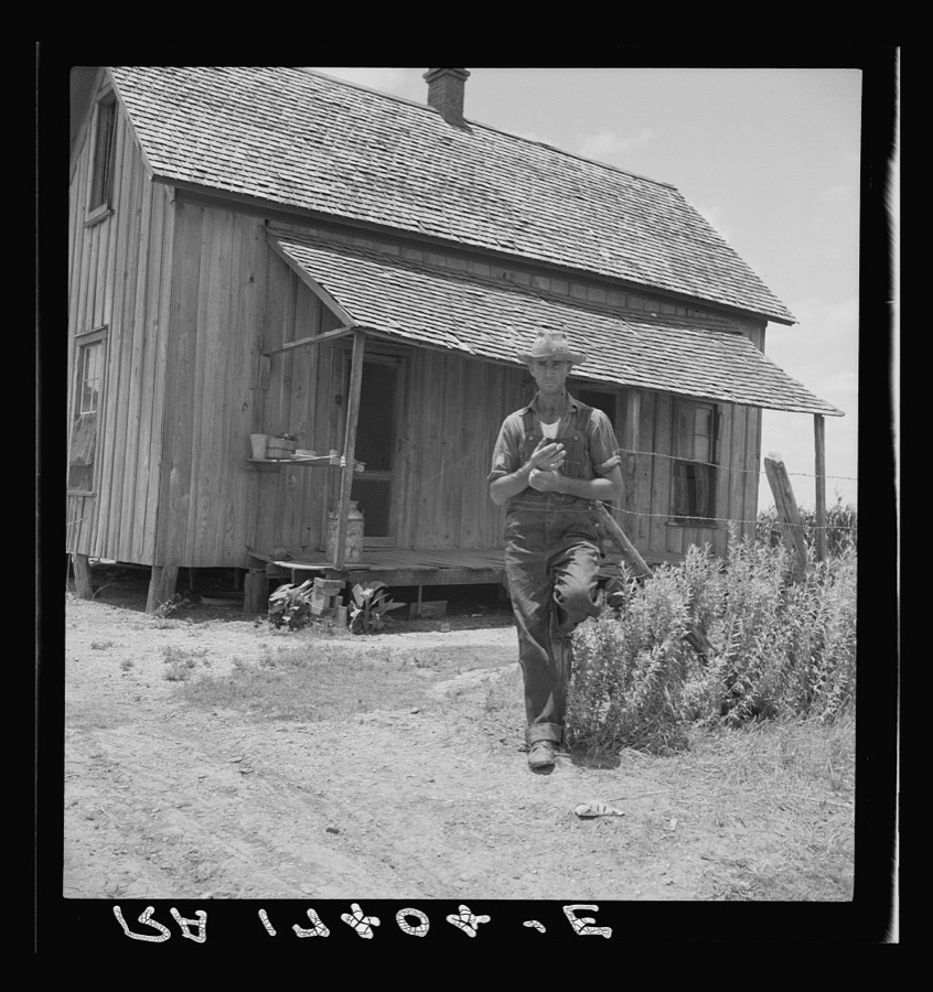
Taken for the Office of War Information and the Farm Security Administration, who photographed the country between 1935 and 1944. Works of United States government photographers, with no known restriction on use. Each opens its catalogue record.


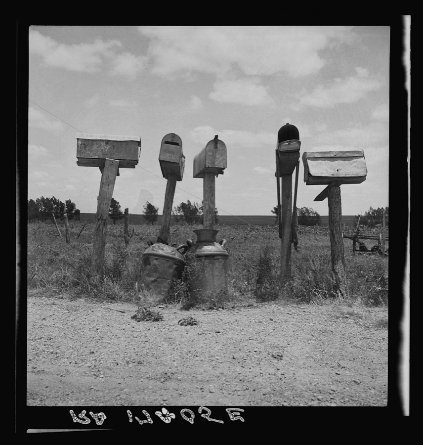

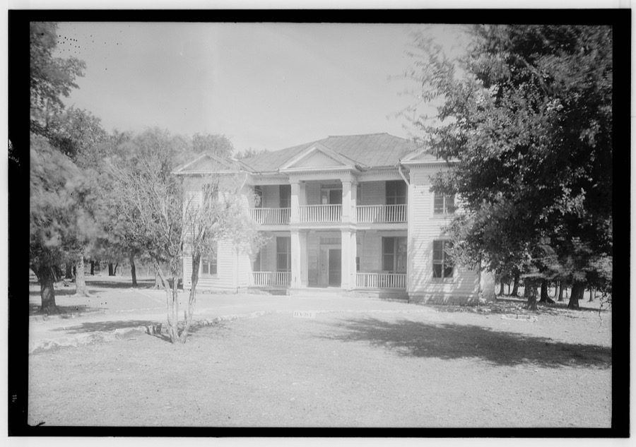
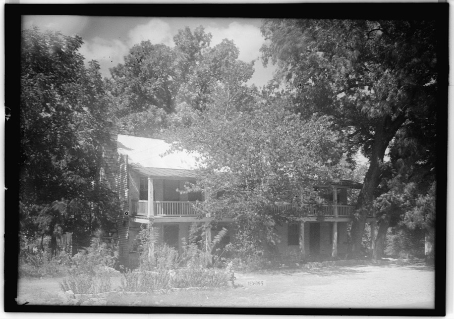
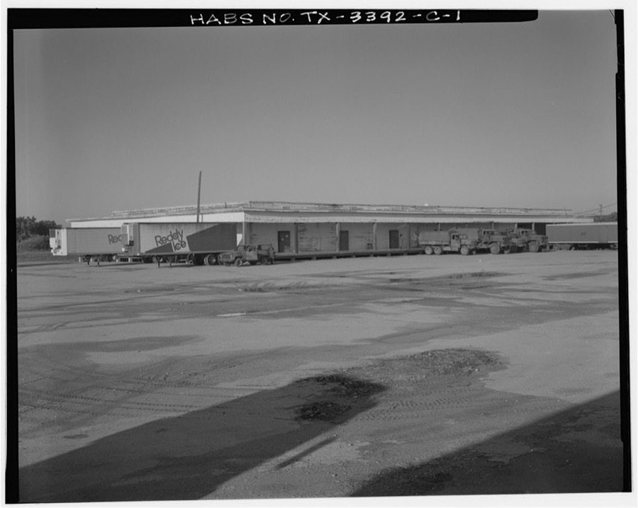
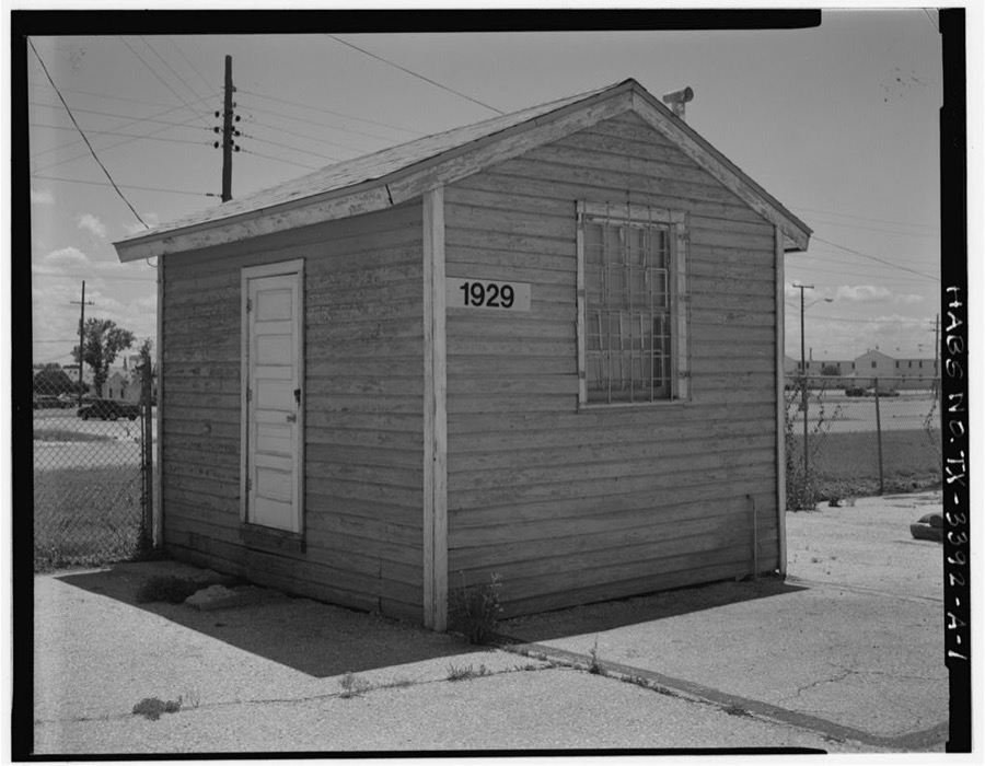
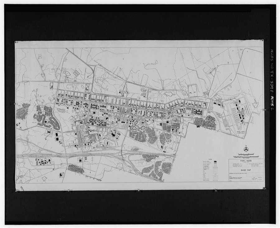

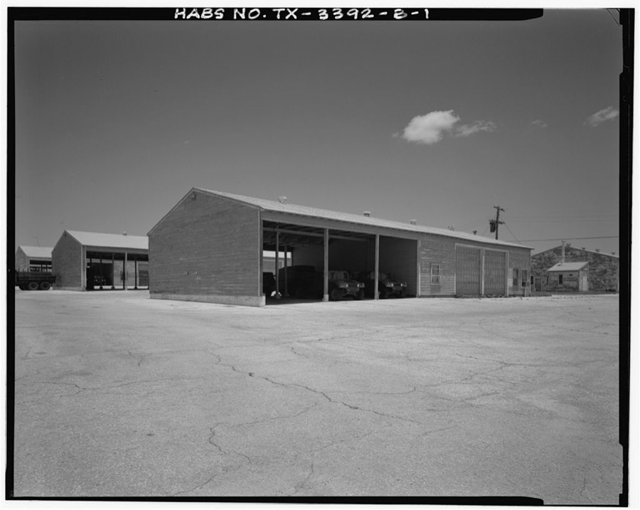
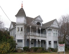
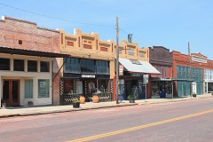
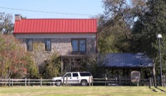
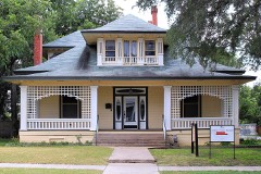
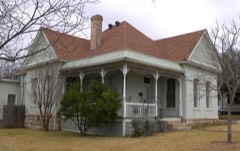
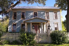
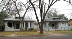
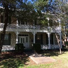
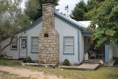
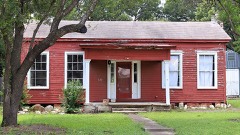
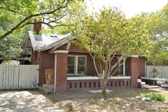
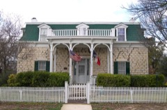
Every property in this county listed on the National Register of Historic Places, with the year it was listed and the federal nomination document.
Drawn when these were printed as single large sheets: the town seen from the air, and the county divided into its farms with every owner named. Each opens the original at the Library of Congress.


Selected from the Digital Public Library of America's 7 image records catalogued for this county. Every one shown here carries a public-domain status or a licence that permits reuse on a site that carries advertising; non-commercial, share-alike and restricted images are excluded. The selection is spread across the county's towns (at most eight per town), so no single institution's bulk upload crowds out the rest. Each opens the holding library's record, and the complete set at the Digital Public Library of America is one click away.




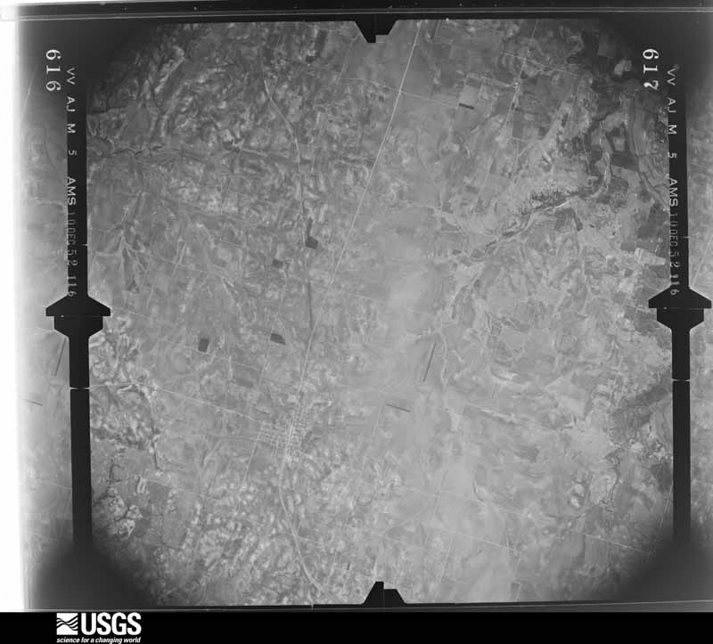
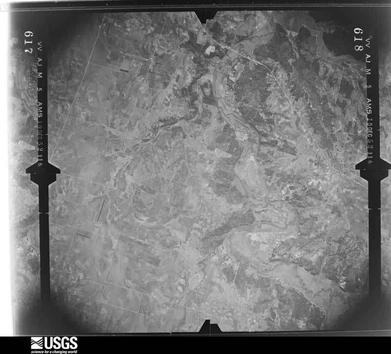
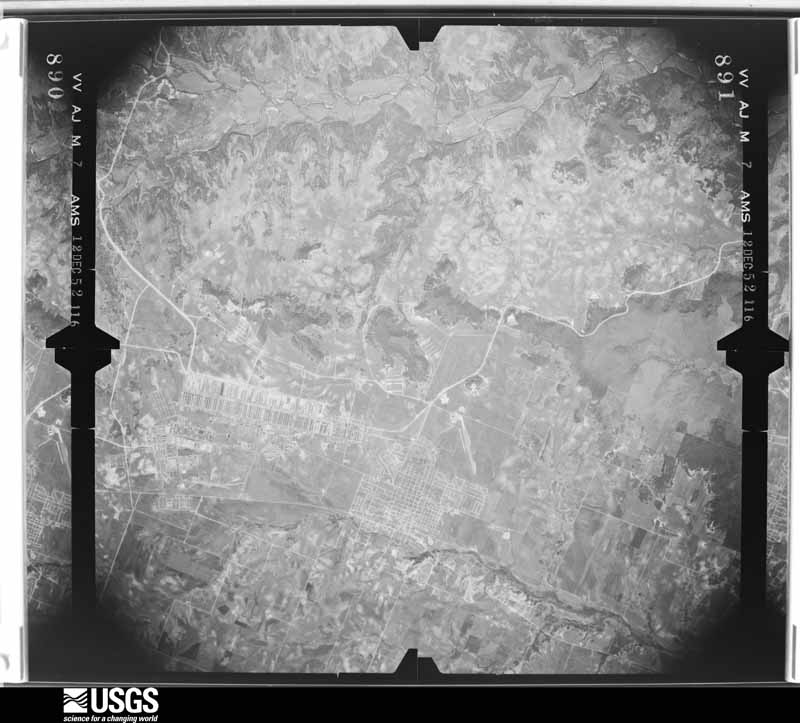
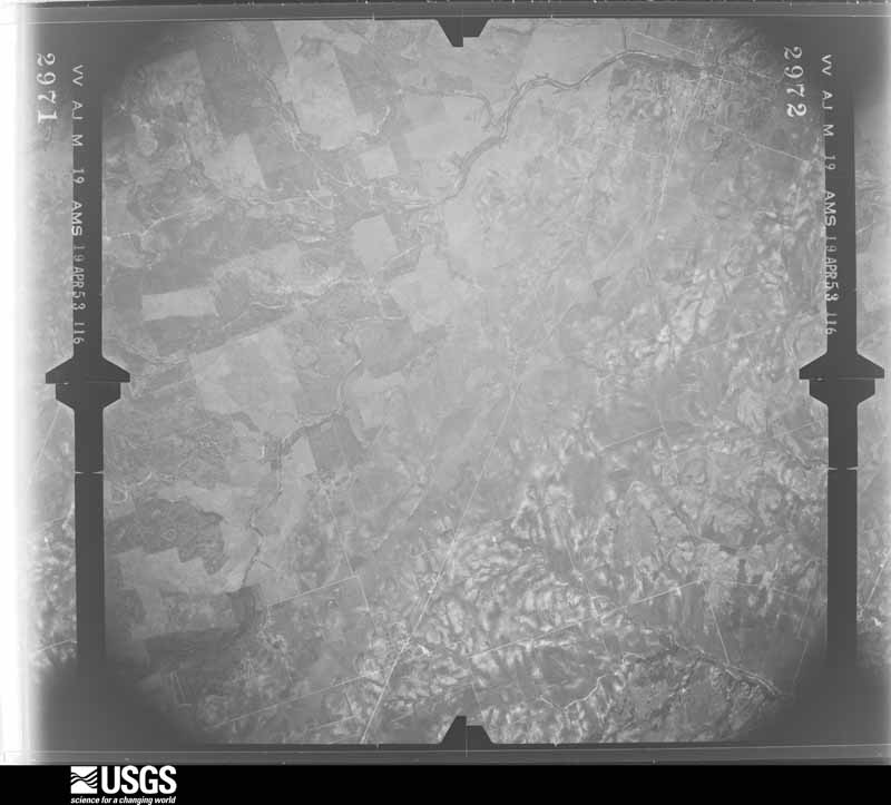
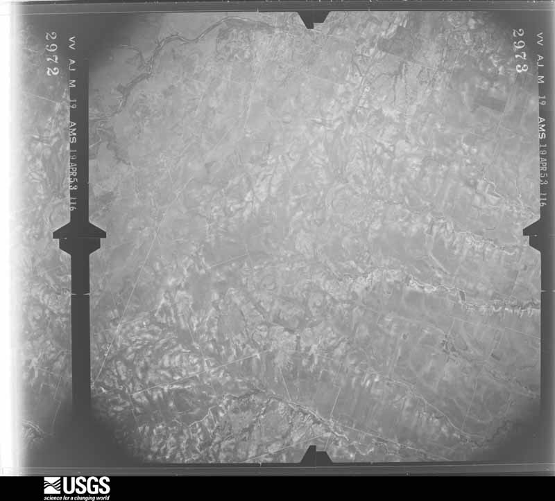
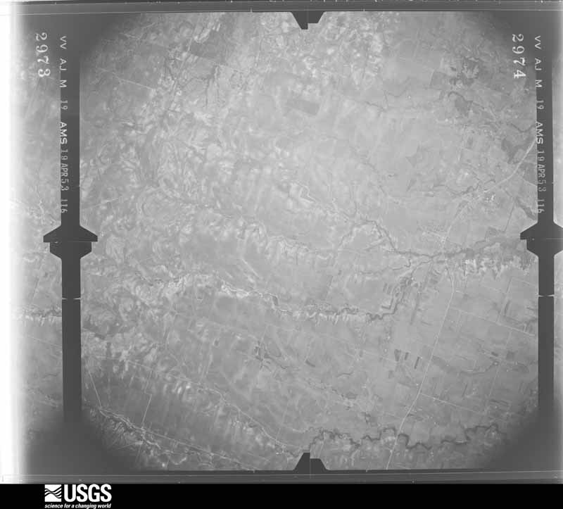
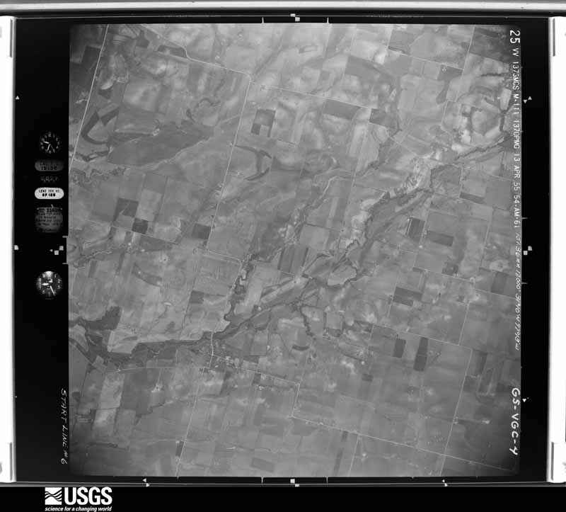
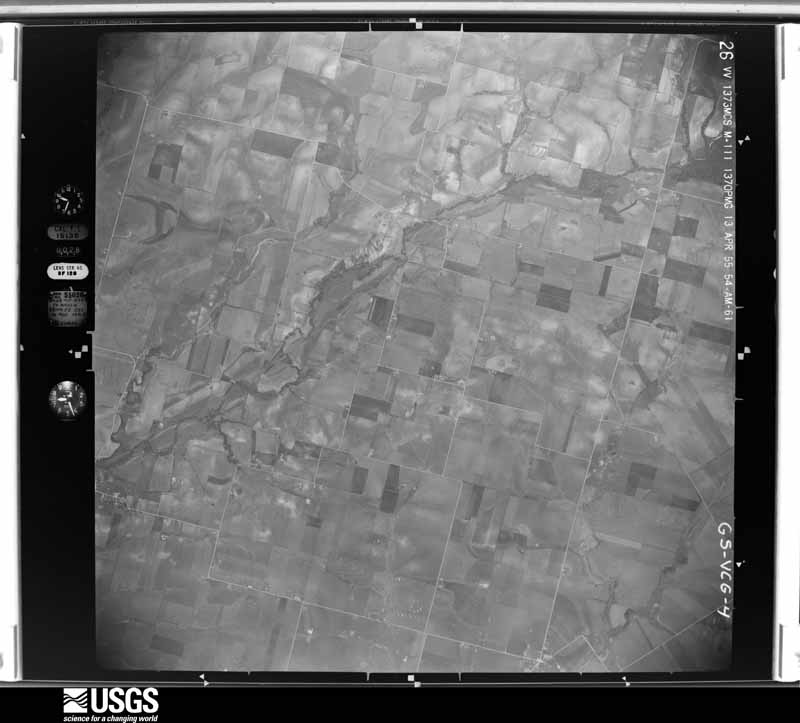
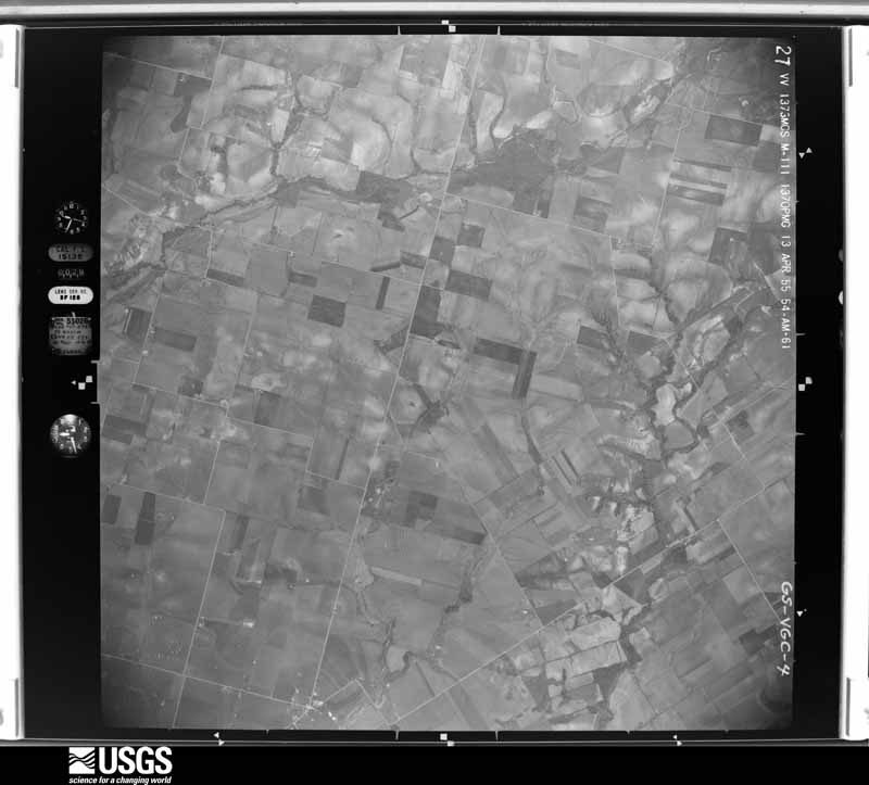
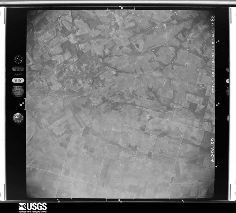
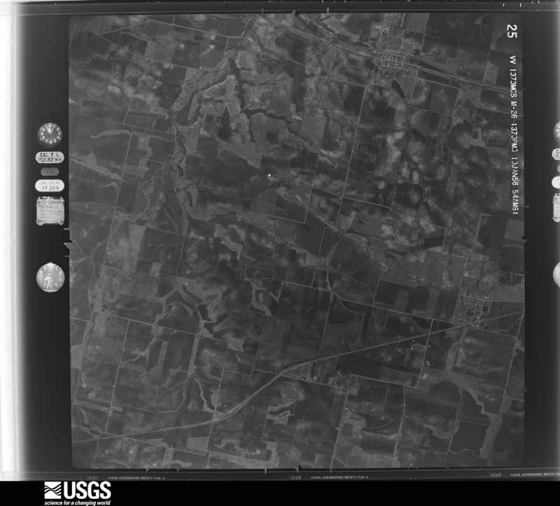
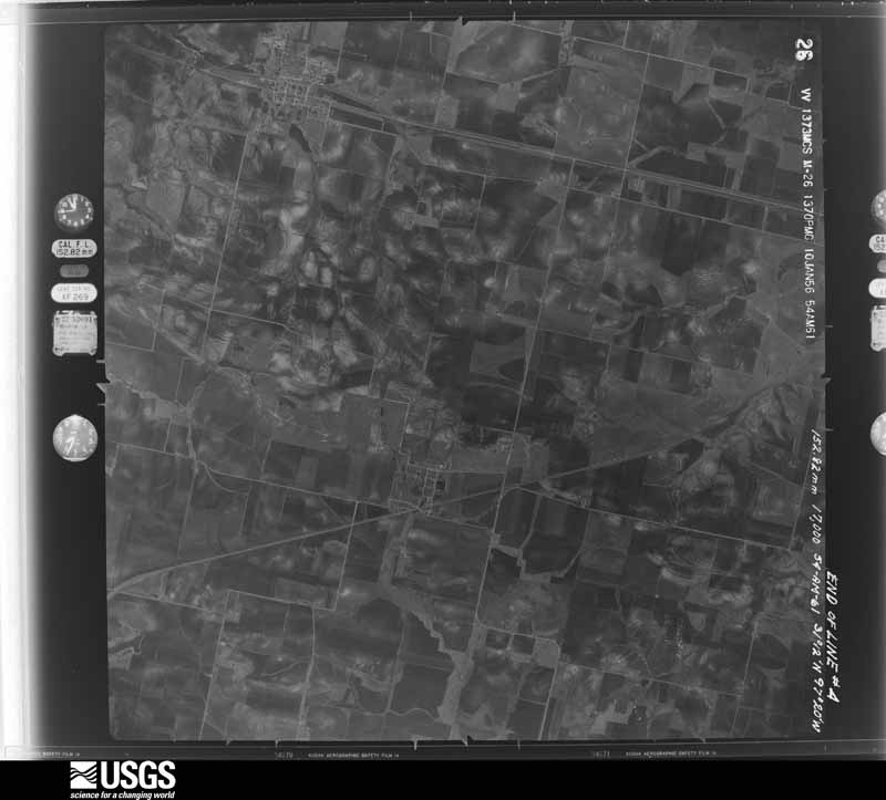
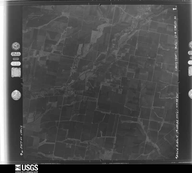
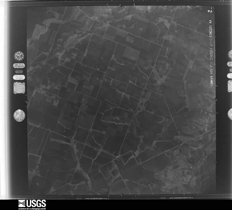
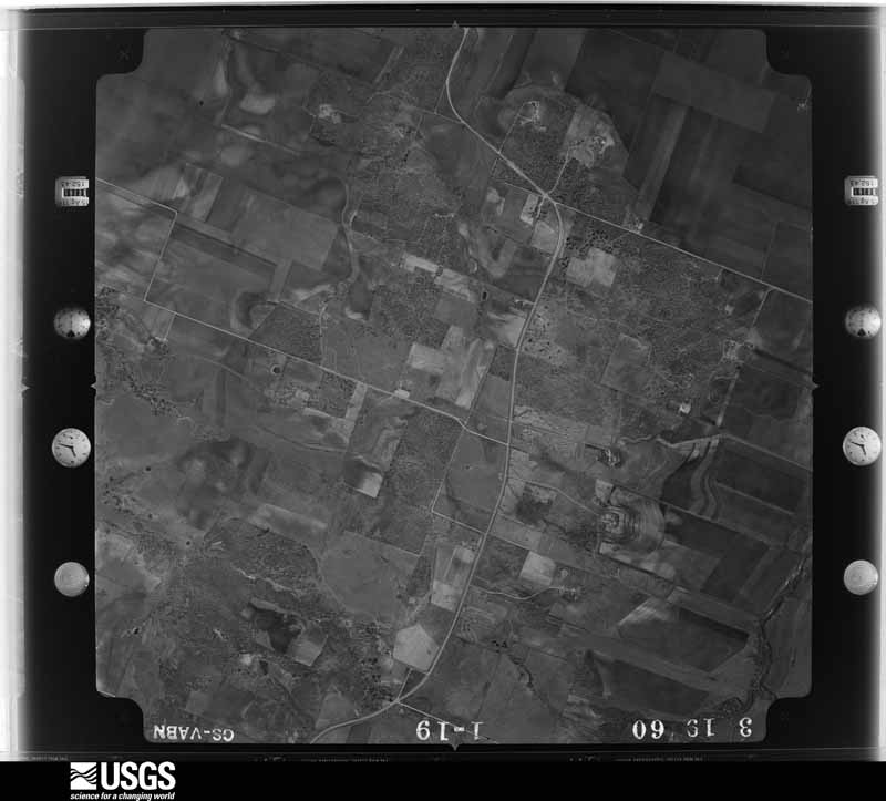
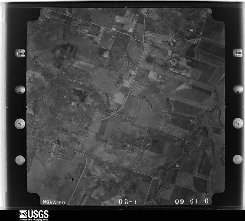
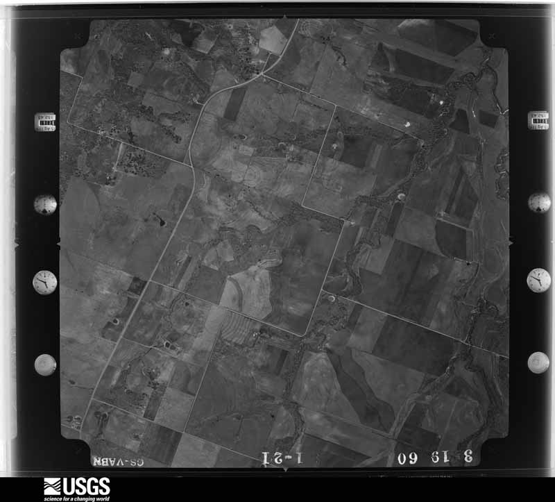
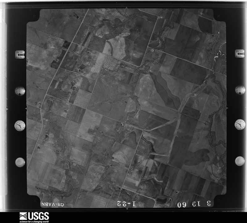
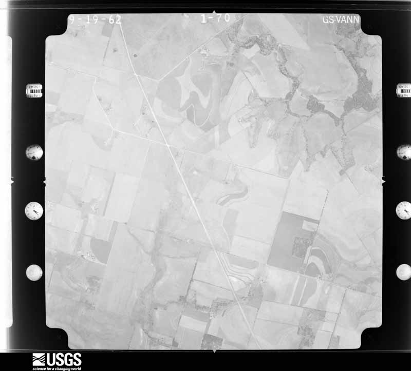
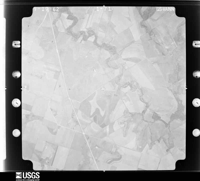
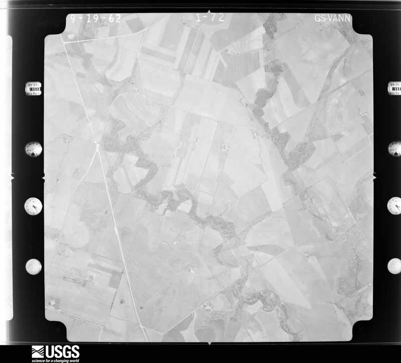
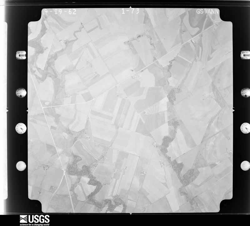
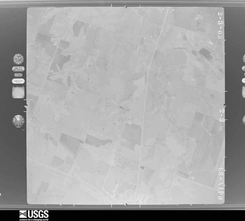
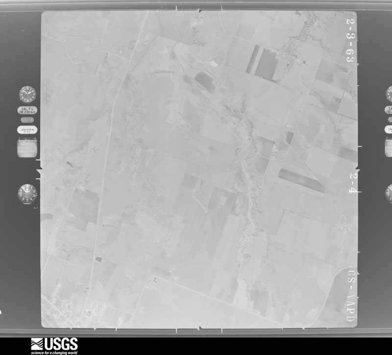
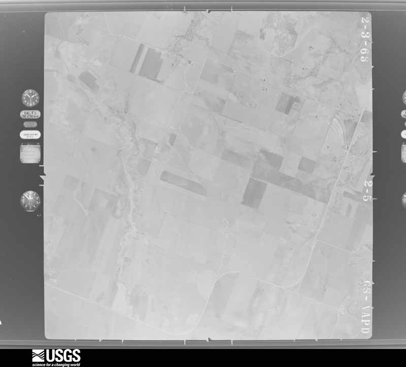
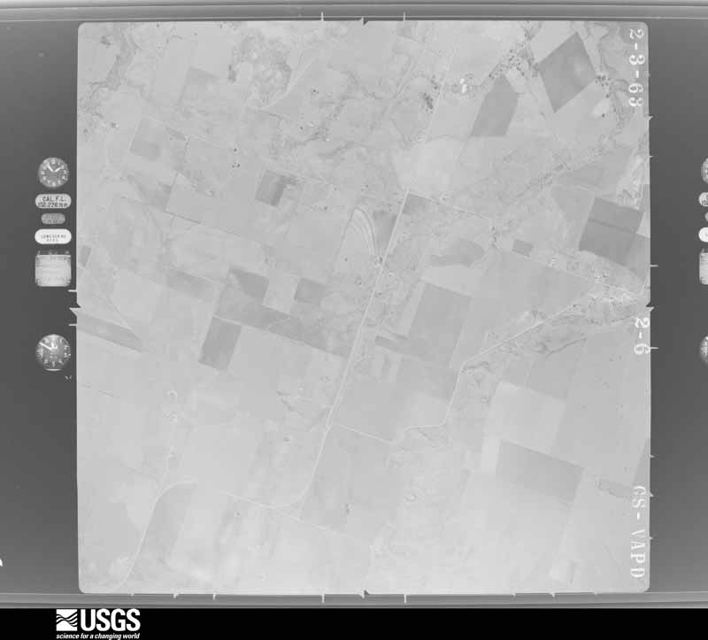
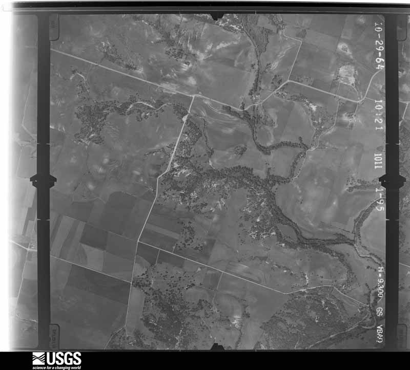
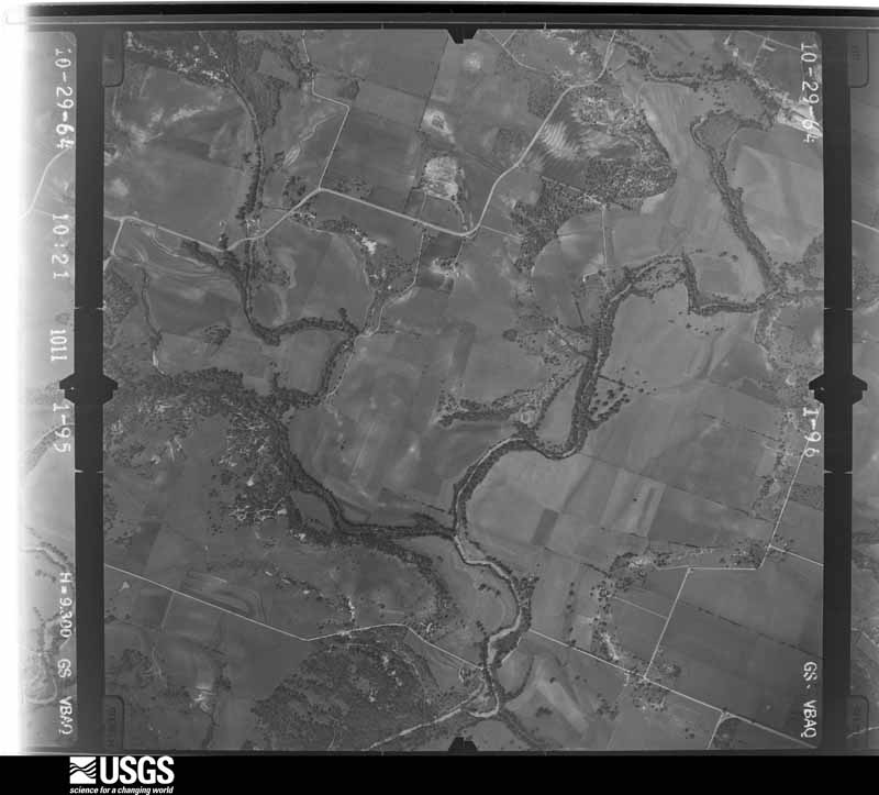
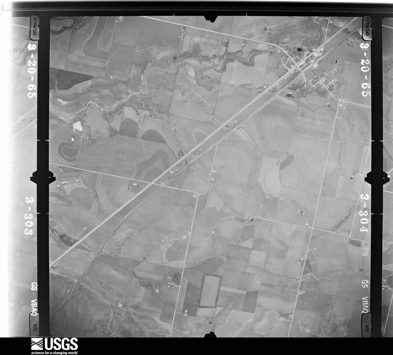
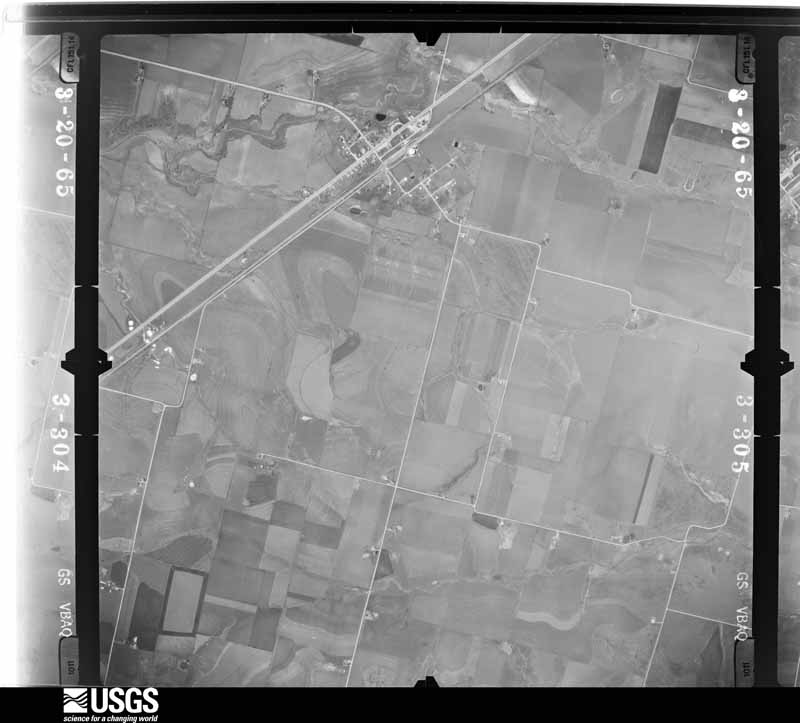
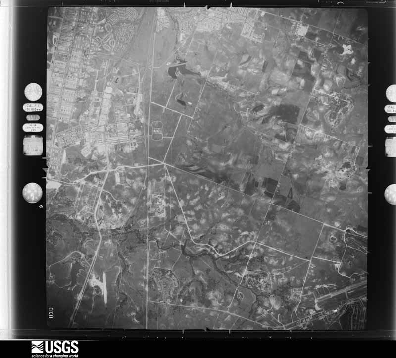
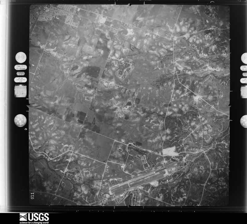
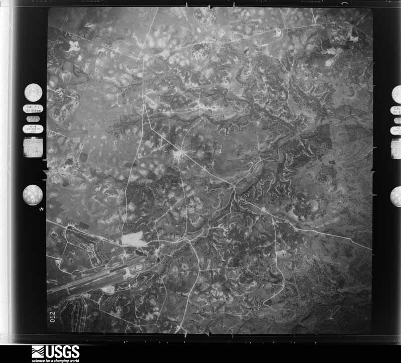
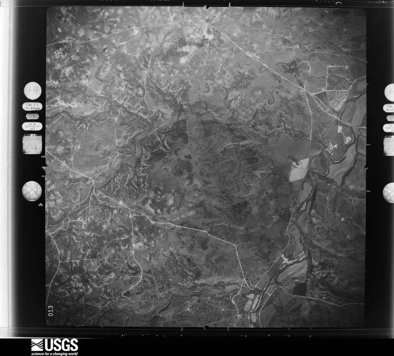
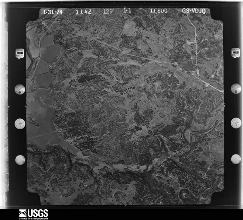
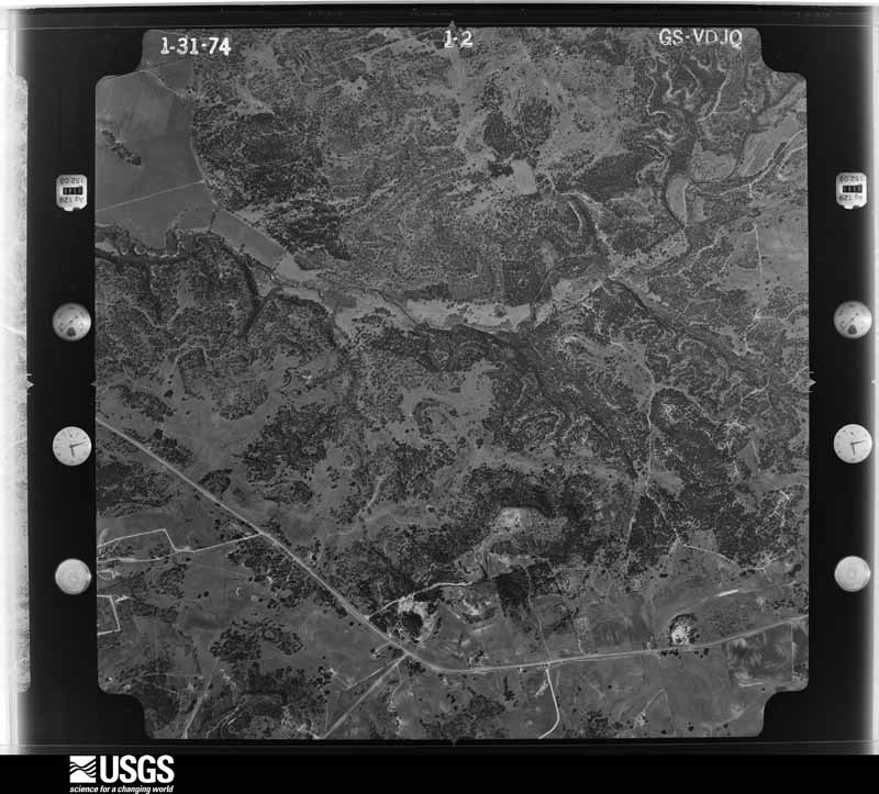
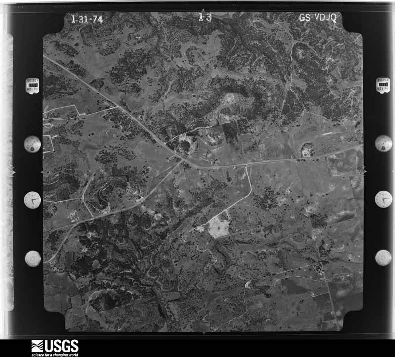
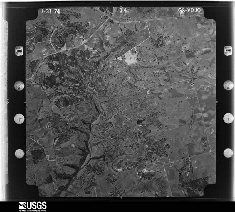
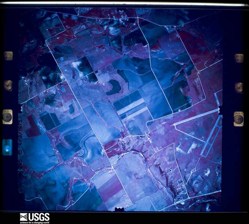
Flown by the U.S. Geological Survey between 1937 and 1989, the Aerial Photo Single Frames collection is the definitive mid-century view of the land: fields, roads and rivers as the camera saw them. The Survey holds 2,212 frames inside the rectangle that bounds this county; the 48 frames below were taken over the county itself, chosen across the decades of flights (at most four a year from that rectangle), so one flight cannot crowd out the rest. The full set is free to browse and download at EarthExplorer under the dataset Aerial Photo Single Frames.


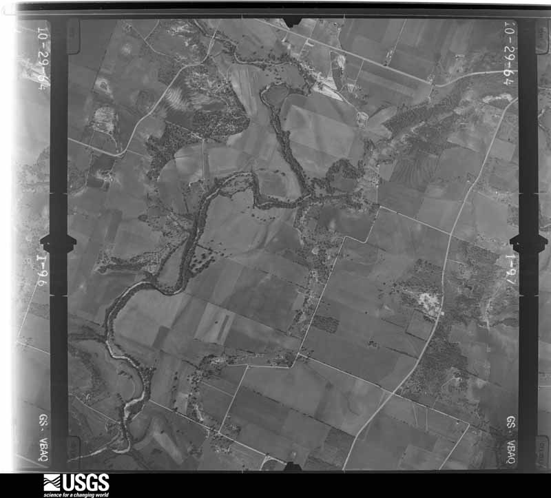
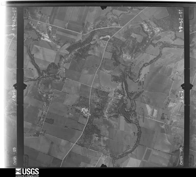
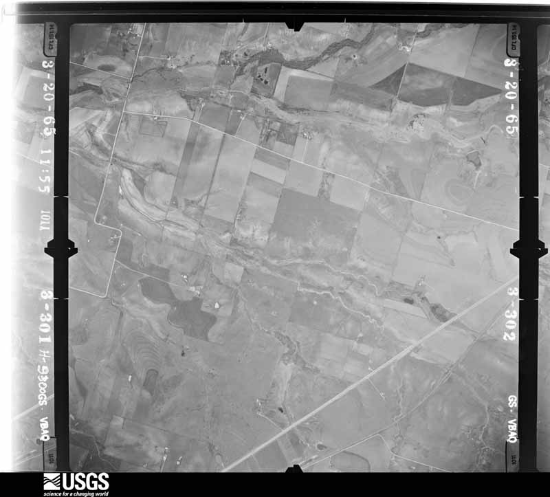
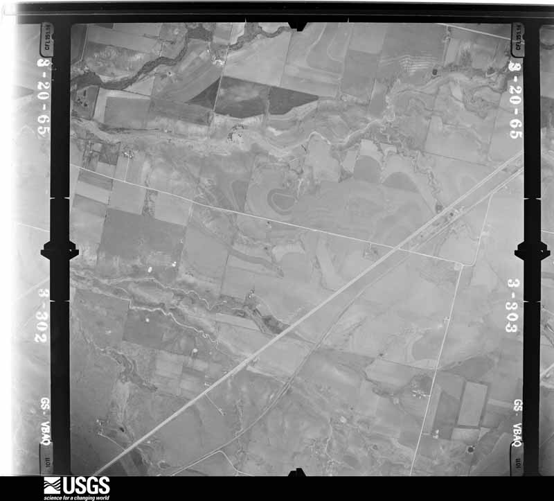



The thermometers that kept this county's weather, and the gages that measured the flow of its streams, as the federal records hold them. The extremes below are measured values from those records, not estimates.
Who lived here in 1950, one enumeration district at a time, as the Census Bureau described each district. Each row opens its official National Archives result, with Population Schedules and ED Maps available there.
Every wildfire the federal occurrence database records inside this county: 1,802 of them, burning about 15,743 acres. 7 started naturally and 54 were recorded as arson. Each settlement page carries the fires within five miles of it.
| Reported cause | Fires |
|---|---|
| Missing data/not specified/undetermined | 1024 |
| Debris and open burning | 388 |
| Equipment and vehicle use | 149 |
| Smoking | 89 |
| Recreation and ceremony | 58 |
| Arson/incendiarism | 54 |
| Power generation/transmission/distribution | 24 |
| Natural | 7 |
| Misuse of fire by a minor | 5 |
| Railroad operations and maintenance | 3 |
| Fireworks | 1 |
The five largest, by the area the report gives. None of them was recorded as arson.
| Date | Cause | Size | Reported by | Name on the report |
|---|---|---|---|---|
| 9 March 2006 | Missing data/not specified/undetermined | 2,000 acres | Texas A & M Forest Service | not named |
| 3 March 2013 | Recreation and ceremony | 503 acres | Texas A & M Forest Service | IRON BRIDGE PARK |
| 2 February 2008 | Missing data/not specified/undetermined | 500 acres | Texas A & M Forest Service | not named |
| 13 September 2011 | Missing data/not specified/undetermined | 500 acres | Texas A & M Forest Service | UNION GROVE FIRE |
| 28 July 2009 | Debris and open burning | 500 acres | Texas A & M Forest Service | FORT HOOD/EAST RANGE ROAD -3 |
| 7 August 2008 | Missing data/not specified/undetermined | 400 acres | Texas A & M Forest Service | KNOB HILL |
| 20 August 2011 | Debris and open burning | 400 acres | Texas A & M Forest Service | STRIKE TEAM ACT, CLARKE RD AND 190 |
| 26 February 2009 | Missing data/not specified/undetermined | 372 acres | Texas A & M Forest Service | BARNES |
Every settlement page carries the fires within five miles of it - see the settlement index below.
The NOAA Storm Events Database holds 965 reports for this county, causing 13 deaths, 88 injuries and about $231,545,380 in recorded property damage. Each settlement page carries the reports that name it.
| Kind of event | Reports |
|---|---|
| Hail | 394 |
| Thunderstorm Wind | 302 |
| Flash Flood | 159 |
| Tornado | 72 |
| Flood | 21 |
| Lightning | 13 |
| Heavy Rain | 4 |
The most serious of them, by death, then injury, then recorded damage. The accounts are quoted exactly as the forecast office filed them.
| When | Event | Place named | Harm | What the report says |
|---|---|---|---|---|
| May 2007 | Flash Flood | Killeen | 4 killed, $110,000 | Several roads were flooded in Killeen and Harker Heights. The Killeen Police Department urged residents to stay off flooded roadways. Mobile home parks were flooded, and one permanent residence near Nolan Creek had four feet of water inside. A mobile home was washed into Nolan Creek and caught fire when the gas line hit a bridge. At least two cars were swept away into the creek. A man who was near a culvert when the rain began also drowned. |
| May 1976 | Tornado (F3) | not stated | 2 killed, 7 hurt, $2,500,000 | no account filed |
| December 1997 | Flash Flood | Killeen | 2 killed, 1 hurt | A car was washed off a road. Two people in the car drown in flood waters and the third was treated for hypothermia due to prolonged exposure to the cold water temperatures. |
| May 1955 | Tornado (F2) | not stated | 1 killed, 1 hurt, $250,000 | no account filed |
| September 2010 | Flash Flood | (Grk)Gray Aaf Ft Hoo | 1 killed, $3,000,000 | Significant flooding occurred in Bell County from the remnants of Tropical Storm Hermine. In Killeen, Highway 190 was closed due to flood waters. Residents were evacuated from an apartment complex on Watercrest Dr due to rising waters, and numerous cars with occupants were submerged in Killeen. There was one fatality in the city of Killeen when a 19 year old female's vehicle was submerged in flood waters on Reese Creek Road. Homes near the towns of Elms and Robinette had to be evacuated by boat. In Nolanville, a car was swept away, and a mobile home park was evacuated resulting in the rescue of 35 to 40 people. Salado Creek in Salado flooded the access roads of Interstate 35 and destroyed several businesses and residential structures along the creek. A bridge on Armstrong Road which crossed Salado Creek was washed away. Numerous roads were also flooded in the city of Temple. There were 17 businesses and 26 residences affected by the flood waters in the city of Belton. |
| April 2024 | Flash Flood | (Tpl)Temple Muni Arp | 1 killed, $40,000 | Emergency management reported multiple swift water rescues overnight in Temple including one that resulted in a fatality after a woman's vehicle was swept off the road at a low water crossing at Pepper Creek. |
| June 2015 | Flash Flood | Nolanville | 1 killed, $30,000 | Heavy rainfall in remnant bands from TD Bill resulted in flooding in Nolanville. An 11 year old boy was swept into a drainage culvert near Avenue H and 10th Street after losing his footing when approaching whirling high waters in the culvert. He passed away on the 18th. |
| March 2007 | Flash Flood | Killeen | 1 killed | Heavy rains caused Nolan Creek to swell and flow quickly. A boy's body was found two days later downstream near Harker Heights. He apparently fell into the creek behind his house on the Fort Hood military base. |
| May 2024 | Tornado (EF2) | (Tpl)Temple Muni Arp | 30 hurt, $5,000,000 | An EF-2 tornado formed near TX-317 between FM 2483 and W Adams Ave where at least a dozen power poles were significantly damaged. The tornado continued to move east/southeast across the Terrace at Lake Pointe subdivision damaging many homes, especially roofs and windows. Significant roof and tree damage was found in the neighborhood south of Tarver Elementary School. At least, four homes lost most of the roof, some outside walls, and sustained significant damage to the windows. Several trees were snapped or uprooted across the neighborhood. Then, the tornado crossed Tanglehead Dr. towards W. Adams Ave damaging many businesses, including stand-alone restaurants, shops, banks, and strip malls. A few of the businesses in this area lost most of their roof (DI 9, DODs 5 &7). Several cars sustained moderate to significant damage and cars were flipped. Most of the power poles were damaged or snapped along W. Adams Ave. The tornado continued to move southeast, crossing Old Waco Rd, damaging other homes and businesses (DI 2, DOD 6). Additional tree damage was found as the tornado tracked across an open field south of W. Adams Ave and west of S Kegley Rd. Maximum estimated winds were 120 mph. |
| April 2022 | Tornado (EF3) | Youngsport | 23 hurt | This tornado began in northern Williamson County and additional information about the beginning of this tornado track can be found from the NWS Austin/San Antonio office.||Video evidence taken on the ground during the tornadic event, and areal footage of the damage track show the parent circulation produced at least 3 small, brief tornadoes while the storm circulation was near and east of the county line. Scattered damage points and small paths are making it difficult to determine which areas may have been impacted by each of these smaller tornadoes before the parent tornado formed. Therefore, in the area just east of the Williamson/Bell County line, the damage extent of the tornadic track has been widened to include all the known damage points (all EF-0s or EF-1s). In this case, since it is too difficult to discern the smaller tracks, and because they all formed from the same parent circulation within a short amount of time of each other, they will all be considered one tornado. The maximum width listed will remain the maximum width of the parent tornado (the EF-3 tornado).||The tornado, which began in northern Williamson County, entered extreme southern Bell County north of the junction between Bell County Road 231 and FM 2843. In this area there was a narrow swath of tree damage consistent with EF-0 intensity wind speeds, with some damage to outbuildings as well. The tornado moved east-northeast and intersected FM 2843, where the damage to trees and structures became much more significant. At least 15-20 damaged homes were visible to the survey team on both sides of FM 2843, with the most significant damage concentrated near the junction of FM 2843 and Buttermilk Road. In this vicinity, at least 10 structures suffered EF-2 to EF-3 intensity damage, with a small cluster of homes experiencing estimated peak tornado wind speeds of 150 to 165 mph. These structures had all or most of their roofs removed, and some of them had one or more exterior walls collapsed. Two churches along FM 2843 in the vicinity of Buttermilk Road were seriously damaged, with roofing material removed and multiple walls collapsed. Numerous vehicles in the area had significant damage consistent with being rolled or having flying projectiles thrown into them. Many hardwood trees along the FM 2843 corridor in the tornado path were uprooted or snapped, and many power poles were also snapped.||Beyond Buttermilk Road, the tornado continued traveling east-northeastward another 1.5 miles along FM 2843, then began a sharp turn to the northeast and eventually a northerly direction. Aerial footage allowed us to track the damage through inaccessible areas where notable tree damage, damage to homes and barns was observed along the path of the tornado.||The tornado reached Crows Ranch Rd and damaged aluminum panels of the roof of a home and blew in the panel garage door. It continued over a ridge line, then intensified again shortly before crossing FM 2484. It uprooted many large trees, shifted a large barn's walls, lifted roof panels off a shed, and caused significant damage to a residence. The residence's roof was almost entirely removed from the structure, and a section of the south facing wall was blown in. The east facing wall was completely blown out, all consistent with a high-end EF2 rating in this location. The tornado then continued northwest into the South Shore neighborhood, and then into Union Grove Park where it lifted shortly after moving onto Stillhouse Hollow Lake. |
| April 2006 | Thunderstorm Wind | Heidenheimer | 4 hurt, $1,000,000 | At least 20 mobile homes were damaged or destroyed. Several were rolled off their foundations and virtually disintegrated. Numerous barns and outbuildings were destroyed. Four people were injured. Winds were estimated at 80 MPH. |
| June 2023 | Thunderstorm Wind | Hood Afb | 4 hurt, $10,000 | A wind gust of 70 MPH was measured by the Automated Weather Observation System at Fort Cavazos Air Force Base (HLR, formerly known as Fort Hood). Damage was reported to several tents belonging to a unit that was in the field on Fort Cavazos. Four soldiers sustained minor injuries when the tents were damaged. All the injuries were minor and the soldiers were returned to duty. Yoakum Defrenn Army Heliport reported they received some damage to one of the Hangars. |
| January 1989 | Tornado (F1) | not stated | 3 hurt, $250,000 | no account filed |
| November 1996 | Thunderstorm Wind | Moffat | 3 hurt, $150,000 | no account filed |
| April 1963 | Tornado (F2) | not stated | 3 hurt, $25,000 | no account filed |
| April 2023 | Tornado (EF1) | Hood Afb | 2 hurt, $2,000,000 | A supercell tracked across Coryell County on the afternoon of April 28th producing an EF-1 tornado with maximum winds around 105 mph. The pattern of damage suggests this tornado may have been a multi-vortex tornado and evidence of very strong RFD wind damage was also found just south of the tornado track, further complicating the track location.||The tornado likely began near Bagget Mountain, tracked across CR 146, and did the most notable damage along CR 148. Several large trees along CR 148, in multiple locations, were damaged ranging from broken trunks to large trees uprooted. The property of a sporting range was damaged with the shooting range cover being blown across the street to the northeast. Two injuries occurred at this location, and one person was transported with a leg injury. The tornado generally followed CRs 148 and 147 on a southeast direction, continuing to damage trees and causing minor roof damage. The tornado crossed FM 116, just north of CR 145, causing damage to trees and minor roof damage to a home east of the road. The tornado then moved onto the property of Fort Hood. Access to this area is limited, but additional damage to trees and power poles was found along West Range Road, south of Henson Creek. The end of the tornado was estimated by radar over inaccessible areas of Fort Hood.||RFD winds were determined to be the cause of damage of a collapsed cell phone tower along West Range Road and a home on Longview Circle that lost part of its roof. The RFD winds could have been near 95 mph. |
| May 1975 | Tornado (F2) | not stated | 2 hurt, $250,000 | no account filed |
| November 1981 | Tornado (F1) | not stated | 2 hurt, $25,000 | no account filed |
| June 1995 | Thunderstorm Wind | Temple | 1 hurt, $325,000 | Widespread wind damage was reported from Temple to Belton, with several outbuildings thrown onto Interstate 35. A tree fell onto a house injuring a woman. Several homes and businesses were partially unroofed. |
| August 2015 | Lightning | Wilson Vly | 1 hurt | A 10-year-old girl was struck by lightning on Landfill Road in Holland while playing under a tree. She was hospitalized for several days. |
| March 1955 | Tornado (F1) | not stated | 1 hurt | no account filed |
| April 1996 | Hail | Temple | $200,000,000 | no account filed |
| June 1995 | Thunderstorm Wind | not stated | $1,500,000 | During the early evening hours on the 27th, severe thunderstorms developed across the south-central portion of north Texas along an outflow boundary. One of these severe storms moved across Fort Hood and into Bell County producing large hail and up to 90 mph winds resulting in extensive wind damage. |
| April 2022 | Hail | Salado | $1,000,000 | Many social media reports of large hail ranging up to 4 inch in diameter hail was reported in and around the Salado, TX area. This was in addition to the 5.6+ inch hail stone that is noted separately. The large hail fell for several minutes. |
| May 1997 | Tornado (F3) | Belton | $900,000 | The fourth tornado that was produced by the large supercell thunderstorm developed on the north side of Lake Belton, near Morgans Point where a marina was destroyed. Over 100 boats at the marina were destroyed by the strong tornado that moved slowly south-southwest. Ten homes along the lakeshore also sustained severe damage and damage to trees was nearly total. The tornado dissipated just northeast of Woodland. |
| June 2007 | Flood | Salado | $750,000 | Runoff from heavy rains caused Mills Creek to flood portions of Salado, including Mill Creek Drive and Smith Bluff. About 30 homes were evacuated and one man had to be rescued from his rooftop. A water rescue was required on the Little River, and Salado Creek flooded the Interstate 35 access roads and the bridge on Main Street by four feet of water. One vehicle was washed off the road and a high water rescue was needed. |
| May 2024 | Tornado (EF1) | Heidenheimer | $550,000 | A second tornado developed southeast of Temple near Bob White Rd north of FM-3117 tracking mostly over open field. Major roof damage was found near the intersection of these roads (DI 2, DOD 4). Additional but less extensive roof damage was seen to others homes as the tornado tracked southeast near Heidenheimer Rd. The team also found significant damage to several transmission lines along this area with more than a dozen towers flipped on its side. Many trees along the tornado track were also heavily damaged. Another home on Shaw Rd near Stallion Rd lost all its roof material and most of the wood beams constructing the roof. The tornado lifted soon after crossing Shaw Rd. This tornado was rated EF-1 with maximum estimated winds of 110 mph. |
| April 2024 | Hail | Salado | $500,000 | Emergency manager reported baseball sized hail fell in Salado. |
| April 2022 | Hail | Salado | $500,000 | A social media picture indicated a 5.6+ inch diameter hail stone in Salado, TX. Swift actions were taken by NWS Fort Worth and the IBHS (Insurance Institute for Business & Home Safety) to preserve and document this record hailstone. The IBHS officially measured the hailstone at: Maximum diameter 5.676 in, Mass 409.3 g, Volume 29.5 in3 making it the largest hail stone on record in the FWD CWA to date. Other large hailstones also fell in this same area. |
| April 2008 | Tornado (EF0) | Belton | $500,000 | In Belton, amateur radio operators reported power flashes and a few downed trees. In and around Temple, power flashes were reported and numerous roofs, fences, and signs were damaged. One fence which was knocked down was anchored with cement pillars. Guests at a motel which lost a roof were temporarily trapped in their rooms due to their doors being barracaded by debris. Vehicles were damaged by tree limbs and other debris. A duplex also lost a roof and suffered water damage. A golf course lost its scoreboard which was supported by several 4-inch metal poles. An estimated forty trees were uprooted or damaged. |
| November 1996 | Thunderstorm Wind | Killeen | $450,000 | no account filed |
| July 2009 | Lightning | Union Grove | $400,000 | An unsold house on Jewel Lane near Stillhouse Hollow Lake was destroyed by a fire started by lightning. |
| May 2008 | Thunderstorm Wind | Little River - Academy | $350,000 | A downburst damage swath which began near Salado continued east with additional tree and roof damage in Little River Academy. The most substantial damage was observed between Heidenheimer and Rogers where several mobile homes had roof damage or were moved. Two large barns had tin walls or sections of tin roofs removed. A grain silo was damaged near Zabcikville. |
| June 1995 | Hail | Temple | $300,000 | Hail damage occurred at the Tranum Auto Dealership with damage to nearly every car on the lot. |
| December 1997 | Flash Flood | Killeen | $275,000 | Two homes were reported flooded and residents were evacuated. A business received major water damage when flood waters entered the building. |
| April 2022 | Hail | Belton | $250,000 | A trained spotter reported 3-inch diameter hail just southwest of Belton, TX. |
| May 2011 | Flash Flood | Killeen | $250,000 | Many cars stalled in high water in Killeen. Rescues were not needed but several motorists needed assistance in the high water. The water on Trimmier Road near Highway 190 was knee-deep. A portion of a mobile home park on Dimple Street had to be evacuated, but none of the homes took in water. However, other homes in low-lying areas were flooded; including around Watercrest and Clear Creek roads. |
| June 1995 | Thunderstorm Wind | Belton | $250,000 | Extensive wind damage occurred to homes and businesses. Numerous trees and power lines were blown down. |
| March 1990 | Tornado (F3) | not stated | $250,000 | no account filed |
| November 1987 | Tornado (F1) | not stated | $250,000 | no account filed |
| August 1969 | Tornado (F2) | not stated | $250,000 | no account filed |
| August 1969 | Tornado (F2) | not stated | $250,000 | no account filed |
| May 2025 | Lightning | Gould | $200,000 | Two structure fires were reported minutes apart in western Temple due to lightning strikes. The fires were contained in the attics. |
| May 2024 | Thunderstorm Wind | Midway | $200,000 | A metal building system was destroyed near I-35 and Loop 363 by what likely was RFD type winds. |
| October 2015 | Flash Flood | Belton | $200,000 | Nolan Creek in Belton overflowed flooding nearby areas. Voluntary evacuations were requested at a neighborhood near Spring Street and Interstate 35 due to the rising waters. |
| June 1995 | Thunderstorm Wind | Belton | $200,000 | Wind damage occurred to roofs, and wind damage occurred at Lake Belton. |
| June 2015 | Flash Flood | Holland | $150,000 | Heavy rainfall in remnant bands from TD Bill resulted in flooding in the Holland area. The local newspaper reported streets were impassable and some homes flooded. Also flooded was city hall, the police station, the fire department and a recording studio. |
| September 2009 | Flash Flood | Union Grove | $150,000 | Significant flash flooding occurred in southern Bell County when 9-15 of rain fell in less than 10 hours. The town of Salado was hit the hardest during the early afternoon hours. Salado Creek that runs through town overflowed its banks and forced the evacuations of approximately 12 families. The rapid rise in the creek also heavily damaged the Main Street Bridge, ripping the asphalt from the bridge and forcing its closure through October 14th. In other areas of Salado, the water was reported to be nearly 10 feet over some bridges and some homes were flooded with up to two feet of water. In addition, Interstate 35 near the Bell/Willimason county line had to be closed for a few hours and other parts of the interstate were down to one lane due to water on the road. The access roads of Interstate 35 between Salado and the Bell/Williamson county line were also closed due to water over the roads. Many of these road closures began during the early afternoon hours. In the town of Bartlett, 5 of water was reported to be flooding streets, and 5 of water was also reported over FM 487, east of Bartlett. Additional roads in the southern portions of the county were flooded and closed as well. |
| August 1995 | Thunderstorm Wind | Killeen | $150,000 | High winds destroyed a home under-construction and blew down trees and power lines. |
| March 2006 | Lightning | Belton | $130,000 | Lightning struck a utility box and started a fire at a home on Timberwolf Trail in Morgan's Point Resort. The one-story brick house was completely destroyed by the fire. |
| April 2023 | Hail | Midway | $100,000 | A public report indicated golf ball sized hail near Temple. |
| October 2015 | Flash Flood | Hood Afb | $100,000 | Multiple high water rescues in Killeen. |
| October 2015 | Flash Flood | Oenaville | $100,000 | Several roads were covered with water in Temple. Water rescues were ongoing; specifically in Lyons Park. |
| March 2014 | Hail | Belton | $100,000 | Baseball sized hail damaged many vehicles along Highway 190 in Belton. |
| November 2010 | Lightning | Simmonsville | $100,000 | Lightning started a house fire on Boydstun Loop in Killeen. The lightning bolt burned a large hole in the roof and caused extensive damage to the roof and attic. Fire control damage occurred in three other rooms. |
| May 2008 | Thunderstorm Wind | Salado | $100,000 | Two foot diameter trees were snapped in half along Highway 95 in Little River Academy. Numerous signs and billboards were blown down between Salado and Little River Academy. Trees fell on and damaged cars in Little River. |
| May 2007 | Flash Flood | Killeen | $100,000 | Numerous high water rescues were required in Killeen. Downtown roads were impassable and several roads were closed. Also, a high water rescue was required near Harker Heights on FM 3249. Many residents were forced to evacuate their homes. Several people had to wait on their roofs for help to arrive. A woman had to be rescued from a tree after her car was washed off of the bridge on FM 2484. |
| October 1998 | Thunderstorm Wind | Killeen | $100,000 | One house and three mobile homes were destroyed by high thunderstorm winds in Harker Heights.. |
| October 1998 | Thunderstorm Wind | Killeen | $100,000 | Several homes were destroyed and unroofed by thunderstorm winds. |
| May 2024 | Hail | Zabcikville | $100,000 | no account filed |
The Survey's mineral resources record lists 36 workings inside this county. 16 still produce and 20 are closed or unrecorded. Each settlement page carries the workings within five miles of it.
| Commodity | Workings |
|---|---|
| Sand and Gravel, Construction | 27 |
| Limestone, General | 4 |
| Stone, Crushed/Broken | 3 |
| Silica | 1 |
| Stone, Dimension | 1 |
The least common of them first, because a county's hundredth gravel pit says nothing its first ten did not.
| Where | Site | Commodity | Status | Recorded |
|---|---|---|---|---|
| Belton Rockwool Ind Operation | Stone, Dimension | Producer | ||
| Tex-Rock | Silica | Unknown | ||
| Bandas Industries Manning Quarry | Stone, Crushed/Broken | Producer | ||
| Dresser Minerals Inc Operation | Stone, Crushed/Broken | Producer | ||
| Pit No. 2 | Stone, Crushed/Broken | Producer | ||
| Miller Pit | Limestone, General | Producer | ||
| Nolanville Quarry | Limestone, General | Producer | Limestone | |
| Nolanville Quarry & Plant | Limestone, General | Producer | ||
| Unnamed Quarry | Limestone, General | Producer | Limestone | |
| Bandas Industries Inc Reed,S Lake | Sand and Gravel, Construction | Producer | ||
| Belton | Sand and Gravel, Construction | Unknown | ||
| Belton Sand and Gravel Lampasas Pit | Sand and Gravel, Construction | Producer | ||
| Killeen Wash Plant | Sand and Gravel, Construction | Producer | ||
| Leon Valley Plant No. 1 | Sand and Gravel, Construction | Producer | ||
| Norman Sand & Gravel Pit & Plant | Sand and Gravel, Construction | Producer | ||
| Sadler Washer & Pit | Sand and Gravel, Construction | Producer | ||
| Shallow Ford Construction Operation | Sand and Gravel, Construction | Producer | ||
| Shallow Ford Pit | Sand and Gravel, Construction | Producer | ||
| Unknown | Sand and Gravel, Construction | Past Producer | ||
| Unknown | Sand and Gravel, Construction | Past Producer | ||
| Unknown | Sand and Gravel, Construction | Past Producer | ||
| Unknown | Sand and Gravel, Construction | Past Producer | ||
| Unknown | Sand and Gravel, Construction | Past Producer | ||
| Unknown | Sand and Gravel, Construction | Past Producer | ||
| Unknown | Sand and Gravel, Construction | Past Producer | ||
| Unknown | Sand and Gravel, Construction | Past Producer | ||
| Unknown | Sand and Gravel, Construction | Past Producer | ||
| Unknown | Sand and Gravel, Construction | Past Producer | ||
| Unknown | Sand and Gravel, Construction | Past Producer | ||
| Unknown | Sand and Gravel, Construction | Past Producer | ||
| Unknown | Sand and Gravel, Construction | Past Producer | ||
| Unknown | Sand and Gravel, Construction | Past Producer | ||
| Unknown | Sand and Gravel, Construction | Past Producer | ||
| Unknown | Sand and Gravel, Construction | Past Producer | ||
| Unknown | Sand and Gravel, Construction | Past Producer | ||
| Unknown | Sand and Gravel, Construction | Past Producer |
Named settlements recorded in the Geographic Names Information System, each with the topographic sheets covering it. Villages, hamlets and abandoned places alike. Each is shown with the nearest named watercourse or landform and the survey quadrangle it falls on. The 4 places that were also surveyed for fire insurance come first, with the number of atlases and photographs held for them.
Belton census division · 76513 · Belton quadrangle
16 sheets, 1892 to 1985
Fire insurance: 9 atlases
Killeen census division · 76541 · Killeen quadrangle
18 sheets, 1894 to 1995
Fire insurance: 2 atlases
Rogers census division · 76569 · Rogers quadrangle
14 sheets, 1885 to 1985
Fire insurance: 2 atlases
Temple census division · 76501 · Temple quadrangle
15 sheets, 1892 to 1985
Fire insurance: 11 atlases
Northwest Bell census division · 76528 · On Owl Creek · Bland quadrangle
19 sheets, 1894 to 1995
Fort Cavazos census division · On Oak Branch · Post Oak Mountain quadrangle
17 sheets, 1894 to 1994
Belton census division · 76513 · On Mitchell Branch · Holland quadrangle
14 sheets, 1885 to 1985
No longer a settlement
Fort Cavazos census division · On Oak Branch · Post Oak Mountain quadrangle
17 sheets, 1894 to 1994
East Bell census division · 76519 · On Possum Creek · Seaton quadrangle
14 sheets, 1892 to 1985
Southwest Bell census division · 76542 · On Reese Creek · Ding Dong quadrangle
15 sheets, 1893 to 1985
Belton census division · 76513 · Nolanville quadrangle
19 sheets, 1894 to 1995
No longer a settlement
Rogers census division · 76569 · On Camp Creek · Rogers quadrangle
14 sheets, 1885 to 1985
Killeen census division · 76548 · On Hay Branch · Killeen quadrangle
18 sheets, 1894 to 1995
Rogers census division · 76534 · On South Darrs Creek · Holland quadrangle
14 sheets, 1885 to 1985
Northwest Bell census division · 76502 · Near Tweedle Mountain · Moffat quadrangle
16 sheets, 1892 to 1985
Temple census division · 76554 · Little River quadrangle
15 sheets, 1885 to 1985
Killeen census division · 76543 · On Long Branch · Killeen quadrangle
18 sheets, 1894 to 1995
Southwest Bell census division · 76549 · On Gann Branch · Ding Dong quadrangle
15 sheets, 1893 to 1985
Northwest Bell census division · 76557 · Eagle Springs quadrangle
16 sheets, 1892 to 1985
Northwest Bell census division · 76513 · On Tanyard Branch · Moffat quadrangle
16 sheets, 1892 to 1985
Southwest Bell census division · 76549 · Near Long Mountain · McMillan Mountains quadrangle
16 sheets, 1894 to 1994
Rogers census division · 76569 · On Whatley Branch · Rogers quadrangle
14 sheets, 1885 to 1985
East Bell census division · 76501 · On Cottonwood Creek · Temple quadrangle
15 sheets, 1892 to 1985
Northwest Bell census division · 76528 · On Flint Creek · Bland quadrangle
19 sheets, 1894 to 1995
East Bell census division · 76501 · On Ratibor Branch · Seaton quadrangle
14 sheets, 1892 to 1985
East Bell census division · 76569 · On Little Elm Creek · Seaton quadrangle
14 sheets, 1892 to 1985
South Bell census division · 76571 · On Watkins Branch · Salado quadrangle
14 sheets, 1893 to 1985
East Bell census division · 76501 · On Salt Creek · Seaton quadrangle
14 sheets, 1892 to 1985
Rogers census division · 76534 · On Willow Creek · Little River quadrangle
15 sheets, 1885 to 1985
Northwest Bell census division · 76557 · On Payne Branch · Eagle Springs quadrangle
16 sheets, 1892 to 1985
South Bell census division · 76513 · On Moon Branch · Holland quadrangle
14 sheets, 1885 to 1985
Fort Cavazos census division · 76544 · Near Castle Mountain · Post Oak Mountain quadrangle
17 sheets, 1894 to 1994
Northwest Bell census division · 76557 · On Kell Branch · Moffat quadrangle
16 sheets, 1892 to 1985
Northwest Bell census division · 76513 · On Tanyard Branch · Moffat quadrangle
16 sheets, 1892 to 1985
Southwest Bell census division · 76542 · On Stillman Valley Creek · Youngsport quadrangle
15 sheets, 1893 to 1985
East Bell census division · 76501 · On Possum Creek · Seaton quadrangle
14 sheets, 1892 to 1985
The vanished settlements of Bell County: the places named above that are no longer on the map.
15 topographic sheets and 11 fire insurance atlases, 1885 to 1949
16 topographic sheets and 9 fire insurance atlases, 1885 to 1949
18 topographic sheets and 2 fire insurance atlases, 1926 to 1937
14 topographic sheets and 2 fire insurance atlases, 1921 to 1944
The complete index, with nothing left out. Each of these is a separate record with its own page: a federal survey report, or the case file that argued a property on to the National Register. Both are public domain and reproduced word for word.
The vanished settlements of Bell County, the places these records name that are no longer on the map.