 Block
BlockYturria, Texas
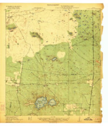
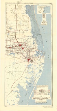
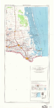
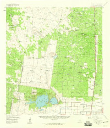
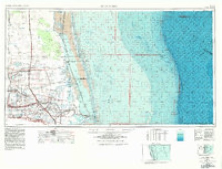
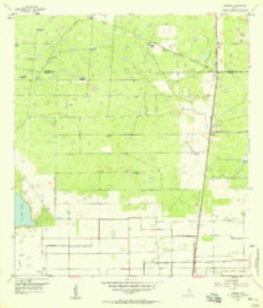
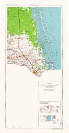
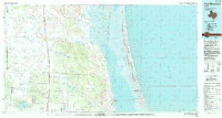
13 topographic sheets cover this place, the earliest surveyed in 1922 and the latest in 1985. It stands in the Lasara census division. It lies in ZIP code area 78580. The Survey maps it on the Yturria quadrangle.
Topographic sheets covering this place
8 surveys from 13 printed sheetsMatched by testing this settlement's coordinate against the published boundary of every sheet in the United States Geological Survey's historical collection. Each opens the scanned sheet at the Survey.
- 1922 USGS La Sal Vieja quadrangle1:62500, 3 printings
- 1953 USGS Brownsville quadrangle1:250000
- 1956 USGS Brownsville quadrangle1:250000, 2 printings
- 1956 USGS La Sal Vieja quadrangle1:62500
- 1956 USGS Port Isabel quadrangle1:250000
- 1956 USGS Yturria quadrangle1:24000, 2 printings
- 1962 USGS Brownsville quadrangle1:250000
- 1985 USGS Port Mansfield quadrangle1:100000, 2 printings
Fires near this place
19 since 2006Regional context, not property-specific evidence. The federal wildfire occurrence database lists 19 fires within 5 miles of Yturria between 2006 and 2019, burning about 1,465 acres in total. None started naturally. 1 was recorded as arson. Distance is straight-line from the map coordinates, so a fire counted here may appear on a neighbouring settlement's page as well.
| Reported cause | Fires |
|---|---|
| Missing data/not specified/undetermined | 12 |
| Debris and open burning | 3 |
| Railroad operations and maintenance | 2 |
| Arson/incendiarism | 1 |
| Equipment and vehicle use | 1 |
The most recent of them, most recent first, with the day each was reported and the service that recorded it.
| Date | Cause | Size | Reported by | Name on the report |
|---|---|---|---|---|
| 1 September 2011 | Missing data/not specified/undetermined | 30 acres | Texas A & M Forest Service | BRUSH GRASS MIXTURE |
| 30 August 2018 | Missing data/not specified/undetermined | under an acre | Texas A & M Forest Service | GRASS FIRE |
| 22 July 2019 | Missing data/not specified/undetermined | under an acre | Texas A & M Forest Service | GRASS FIRE |
| 13 June 2012 | Missing data/not specified/undetermined | 5.0 acres | Texas A & M Forest Service | SAN BERTA GATE FIRE |
| 12 June 2012 | Missing data/not specified/undetermined | 2.0 acres | Texas A & M Forest Service | RUDOLPH TOWER FIRE REKINDLE |
| 28 April 2019 | Missing data/not specified/undetermined | 2.0 acres | Texas A & M Forest Service | BUTLER GRASS FIRE |
| 20 April 2013 | Missing data/not specified/undetermined | 23 acres | Texas A & M Forest Service | GRASS FIRE |
| 26 March 2011 | Missing data/not specified/undetermined | 5.0 acres | Texas A & M Forest Service | BRUSH FIRE |
Settlements close enough to share some of these fires:
Storms near this place
6 since 2012Regional context, not property-specific evidence. The National Weather Service names Yturria in 6 storm reports between 2012 and 2021: 2 flood, 1 hail, 1 tornado, 1 thunderstorm wind. No death or injury is recorded in these reports. Each account below is quoted exactly as the forecast office filed it, from the NOAA Storm Events Database, and each date opens the federal record of that event.
| When | Event | Place named | Harm | What the report says |
|---|---|---|---|---|
| June 2019 | Flash Flood | Yturria | $15,000,000 | Measured and estimated rainfall between 8 and 12 or more inches that fell predominantly from early evening June 24th through a bit after midnight on June 25th produced widespread flash flooding across western Willacy County. Hardest hit locations were Sebastian, Lyford, Raymondville, and La Sara. ||In the tri-county area (western Willacy, northwestern Cameron, and southeastern Hidalgo), 1188 homes were considered destroyed or with major damage, with an additional 182 homes with minor damage. Hundreds of streets flooded, including 30 Texas-managed highways. This included the frontage roads of Interstate 2 and Interstate 69E. ||More than 100 persons were evacuated to higher ground when dozens of homes were threatened by 2 to 4 feet of water in each county; the entire western two thirds of Raymondville was under 1 to 3 feet of water; up to 4 feet was noted in LaSara during the peak of the heavy rain just before midnight on June 24th, and poor drainage flow in canals and ditches backed up water into Sebastian well after the rain had ended. |Individual Assistance costs for the affected area in the three counties was estimated at $27.6 million as of early August 2019; Public Assistance values were unknown but likely to add to the damage, which will be estimated at $75 million in all three counties. Daily rainfall records were set in the flood area, including 9.7 inches in Raymondville which shattered the prior daily record by nearly 8 inches on the date (prior was 1.83 inches in 1923) and set a new daily record for the month of June (prior was 6.23 in 1993), with records going back to 1910. ||Despite the flooding and damage, much which occurred in the dark, there were no know deaths of injuries directly attributed to the flood. |
| June 2019 | Thunderstorm Wind | Yturria | $15,000 | The Emergency Management Coordinator for Willacy County reported damage to eight utility poles and 20 to 30 mesquite trees on the I-69E Frontage Road near the intersection with Conley Road, north of Raymondville. The utility pole damage was a combination of those uprooted from the ground and others broken in half. Bark was peeled from some of the mesquite trees. Damage width of poles and trees was about one-half mile long. In addition, grass of one and one-half foot tall was blown down in circular fashion in nearby locations. |
| October 2021 | Flood | Yturria | - | TXDOT reports standing water on I-69E/US-77 near and north of the business 77 split roughly 4 miles north of Raymondville. |
| June 2019 | Flood | Yturria | - | Slow drainage of torrential rains of 6 to 15 inches in just six hours during the evening of June 24th through just after midnight on June 25th maintained widespread flooding of 1 to as much as 3 feet of water depth across many neighborhoods and roads in the eastern portion of the Rio Grande Valley. Hundreds of roads remained closed or impassible, and hundreds to more than a thousand homes continued to have some water in them for several (mainly fair weather days) following the causative event. Water did not recede completely in some neighborhoods until up to 2 weeks following the rains, much due to the interconnected drainage system which was unable to handle the rainfall rate, which was a 1 in 500 probability event occurring in locations only built to sustain 1 in 5 or 1 in 10 probability events. ||Please note: Damage listed here is shown as *zero*. Estimated total damage for this event is listed in the flash flood entries for these locations. |
| May 2012 | Hail | Yturria | - | The Willacy County Emergency Manager reported quarter size hail near Yturria. The public reported quarter size hail on the north side of Raymondville. Each report was from the same hail core, which moved quickly northeast of town and may have dropped larger hail over rural locations north of the City. |
| March 2012 | Tornado (EF0) | Yturria | - | Willacy County emergency manager relayed a report of a tornado on the Yturria Ranch, just east of Highway 77 in the northern portion of the county. There was a brief touch down and debris seen, but no damage reported. |
Nearest settlements
The eight closest, with where each one stands in the county. Distances are straight-line, computed from the Geographic Names Information System coordinates.
| Map | Place | Distance | Sheets |
|---|---|---|---|
| El Chapote Colonia | 3.0 miles | 13 | |
| Willacy Acres Colonia | 3.8 miles | 13 | |
| Lisa Colonia | 3.9 miles | 13 | |
| Benitez Colonia | 4.4 miles | 13 | |
| Colonia los Angeles | 5.1 miles | 9 | |
| Los Angeles | 5.1 miles | 9 | |
| Raymondville | 6.0 miles | 9 | |
| Ranchette Estates Colonia | 6.5 miles | 9 |
Elsewhere
Matched on this settlement's Geographic Names Information System number rather than its name, so it cannot be a different place of the same name in another state.
| Wikidata item Q122542044 | The structured record the population and elevation above come from. Public domain (CC0). |
Provenance
This settlement is recorded in the Geographic Names Information System as feature 1379300. The sheet list is computed by point-in-boundary test against the United States Geological Survey's historical topographic inventory. Both are works of the United States government and carry no copyright under 17 U.S.C. 105.
Wildfire. Short, Karen C. 2022. Spatial wildfire occurrence data for the United States, 1992-2020 [FPA_FOD_20221014]. 6th Edition. Fort Collins, CO: Forest Service Research Data Archive. https://doi.org/10.2737/RDS-2013-0009.6 Collected with United States Government funding and usable without additional permissions or fees.
Storms. NOAA National Centers for Environmental Information, Storm Events Database https://www.ncei.noaa.gov/stormevents/ A work of the United States government, no copyright under 17 U.S.C. 105. Narratives are quoted verbatim from the National Weather Service report and are not edited or summarised.