BlockBefore

Carbon County, Utah

68 topographic sheets and 13 fire insurance atlases across 4 places.

Research this county

From the record

“The subcommittee of the distributors of the relief fund ascertained that dependent upon the 200 miners who were killed in the coal mine explosion, were 148 families of varying- sizes. Some are more dependent upon charity than others, but the exact status of all has not yet been definitely ascertained.”

How Fund Wili, Be Distributed - History of the Scofield Mine Disaster : A Concise Account of the Incidents and Scenes That Took Place at Scofield, Utah, May 1, 1900. When Mine Number Four Exploded, Killing 200 Men. Profusely Illustrated by 70 Choice Engravings (1900). Machine-read text.

26 National Register listings published here, 1 of them a National Historic Landmark · the county-history sources tell 8 stories and name 3 people · people the book names include Thomas Pugh (Scofield, 1900) (machine-read).

Sources: the county history on the Internet Archive · the National Register database, National Park Service

Utah within the United States
Carbon County within Utah

What the record shows

  • 4 places in this county were surveyed for fire insurance: Helper, Price, Columbia, Scofield, between 1908 and 1943.
  • 13 fire insurance atlases survive for the county. Topographic coverage is national; fire insurance survey reached only incorporated places with something worth insuring.
  • 641 topographic sheet readings cover the county's settlements.
  • 26 properties here are on the National Register of Historic Places: 24 buildings and 2 sites.
  • 11 of the 26 listings were added during the 1970s.
  • The Geographic Names Information System records 33 populated places in this county; 33 are covered by at least one topographic sheet.

What happened here

8 accounts

Among them: Thomas Pugh; Mine Disaster 103; Living Victims Of The Diaster Reach Sai.T Lake. These passages come from the identified county-history source books. Each inset names its own source and opens the exact section it comes from.

From History of the Scofield Mine Disaster : A Concise Account of the Incidents and Scenes That Took Place at Scofield, Utah, May 1, 1900. When Mine Number Four Exploded, Killing 200 Men. Profusely Illustrated by 70 Choice Engravings, published 1900 - Scofield

Thomas Pugh

Tom Pugh, fifteen years old, did not lose his head in the terrible hour. When he heard the detonation he seized his hat in his teeth and kept his nostrils covered while he ran through the tunnel. He was in as far as the fifth raise which is about a mile and a half from the entrance, but he reached the outside in safety while his father, with whom he was working, perished.

Read the rest of this passage

From History of the Scofield Mine Disaster : A Concise Account of the Incidents and Scenes That Took Place at Scofield, Utah, May 1, 1900. When Mine Number Four Exploded, Killing 200 Men. Profusely Illustrated by 70 Choice Engravings, published 1900 - Scofield

Mine Disaster 103

Zeph Thomas, of Logan, was ou his way here to visit his brother, Joseph, Tuesday evening-. He had heard rumors at Salt I/ake of an accident, but nobody at that time knew anything- of its extent. His horror upon going to the Thomas home and finding an anguish stricken widow and children, was intensified when he learned that both his brothers and two nephews had perished.

Read the rest of this passage

From History of the Scofield Mine Disaster : A Concise Account of the Incidents and Scenes That Took Place at Scofield, Utah, May 1, 1900. When Mine Number Four Exploded, Killing 200 Men. Profusely Illustrated by 70 Choice Engravings, published 1900 - Scofield

Living Victims Of The Diaster Reach Sai.T Lake

Their bodies swathed in handag-es, Thomas Livsay and William Livsay were brought to St. Marks hospital from Scofield yesterday morning-. Only the charred lips of the injured coal miners were visible and but for their feeble breathing- they might have been taken for dead. The wounded miners were made as comforlable as possible at the hospital and the hope is entertained that they will recover.

Read the rest of this passage

From History of the Scofield Mine Disaster : A Concise Account of the Incidents and Scenes That Took Place at Scofield, Utah, May 1, 1900. When Mine Number Four Exploded, Killing 200 Men. Profusely Illustrated by 70 Choice Engravings, published 1900 - Scofield

Strong Appeal Issued To Kxights By Grand Chaxcellor

Grand Chancellor Gardiner ot the Knig-hts of Pythias, has issued a strong- appeal to the Pythian lod<^es of the domain of Utah, to contribute to a fund now being- raised by the order for the relief of the widows and orphans of the Kniifhts of Rathbone lodge No. 9, who were killed at Scofield. A number of Knights from Og-den, Salt Lake City, Bing-ham, Park City, and Provo -will go down to Scofield on this morning's train to represent the order at today's funerals, and Grand Chancellor Gardiner said last night that it was his understanding that there would be a union service, in which all of the fraternal orders which had members among the dead, would join.

Read the rest of this passage

From History of the Scofield Mine Disaster : A Concise Account of the Incidents and Scenes That Took Place at Scofield, Utah, May 1, 1900. When Mine Number Four Exploded, Killing 200 Men. Profusely Illustrated by 70 Choice Engravings, published 1900 - Scofield

The Coai. Mine Catastrophe

"The calamity at Scofield grows in horror the more it is contemplated. Our country has been in war for two years past. In no battle have there been so many killed and so few wounded. Some who had faced death in battle repeatedly and came out unscathed, went down to death in a moment in that terrible pit.

Read the rest of this passage

From History of the Scofield Mine Disaster : A Concise Account of the Incidents and Scenes That Took Place at Scofield, Utah, May 1, 1900. When Mine Number Four Exploded, Killing 200 Men. Profusely Illustrated by 70 Choice Engravings, published 1900 - Scofield

What Wilt- Malad Do

(Malad (Idaho) Enterprise.) Down in Scofield, Utah, in one of the mines of the Pleasant Valley Coal Company, an explosion occurred on May 1 and every man employed in the mine, numbering about three hundred was killed. Three hundred men killed; two hundred wives made widows and probably six hundred children left fatherless.

Read the rest of this passage

From History of the Scofield Mine Disaster : A Concise Account of the Incidents and Scenes That Took Place at Scofield, Utah, May 1, 1900. When Mine Number Four Exploded, Killing 200 Men. Profusely Illustrated by 70 Choice Engravings, published 1900 - Scofield

How Fund Wili, Be Distributed

The subcommittee of the distributors of the relief fund ascertained that dependent upon the 200 miners who were killed in the coal mine explosion, were 148 families of varying- sizes. Some are more dependent upon charity than others, but the exact status of all has not yet been definitely ascertained.

Read the rest of this passage

From History of the Scofield Mine Disaster : A Concise Account of the Incidents and Scenes That Took Place at Scofield, Utah, May 1, 1900. When Mine Number Four Exploded, Killing 200 Men. Profusely Illustrated by 70 Choice Engravings, published 1900 - Scofield

All To Widows And Orphans

While discussit)<jf the circumstance.s of the 200 families whose bread-winners were killed in the coal mine disaster, cog^nizance was taken of the conditions relating' to the seven miners who were seriously injured. Inasmuch as all of the injured ones were cared for at the hospital at the Pleasant Valley Coal Company's expense, and also that none of the men will lose any of their wages during- the time they have been incapacitated from work, it was the opinion of the central committee at j'esterday afternoon's meeting in the Governor's office that what would otherwise be the proportion of the injured men should be given to the dependent widows and orphans.

Read the rest of this passage

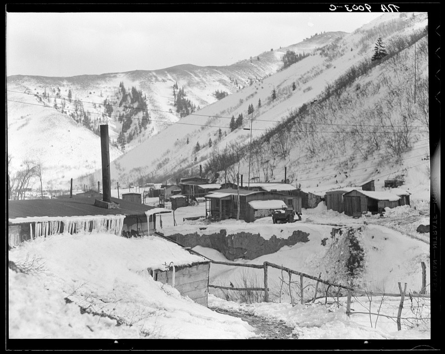
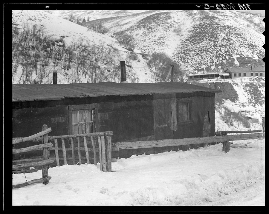
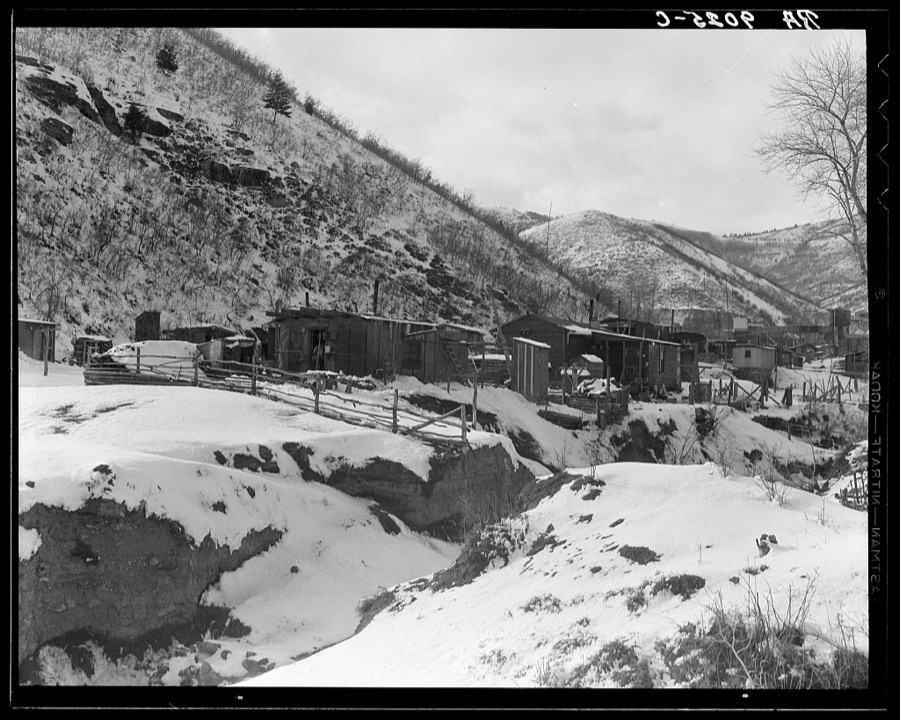
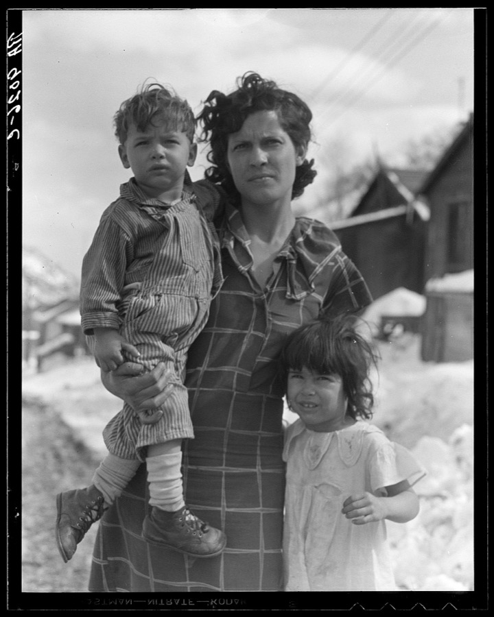
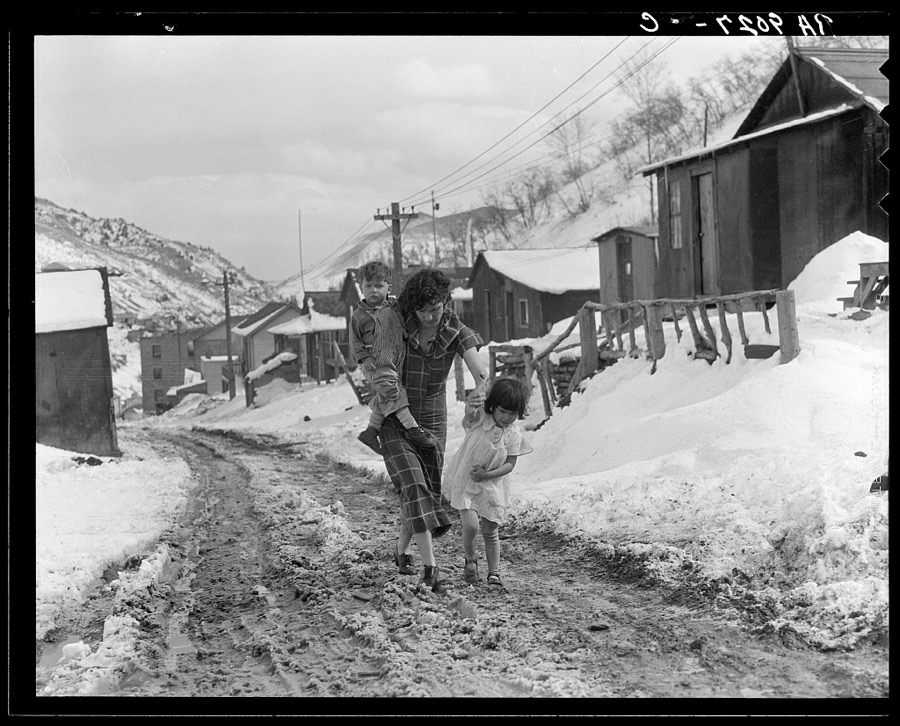
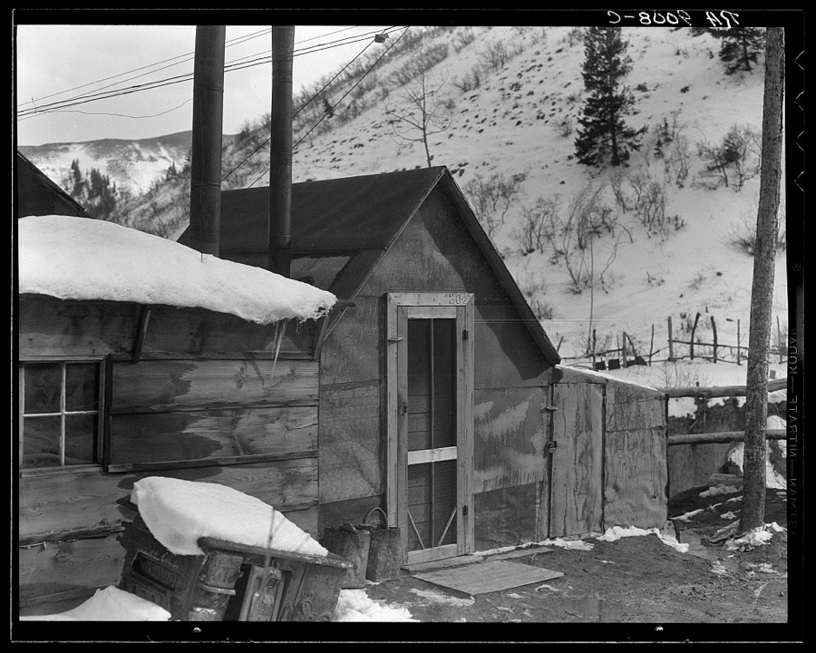
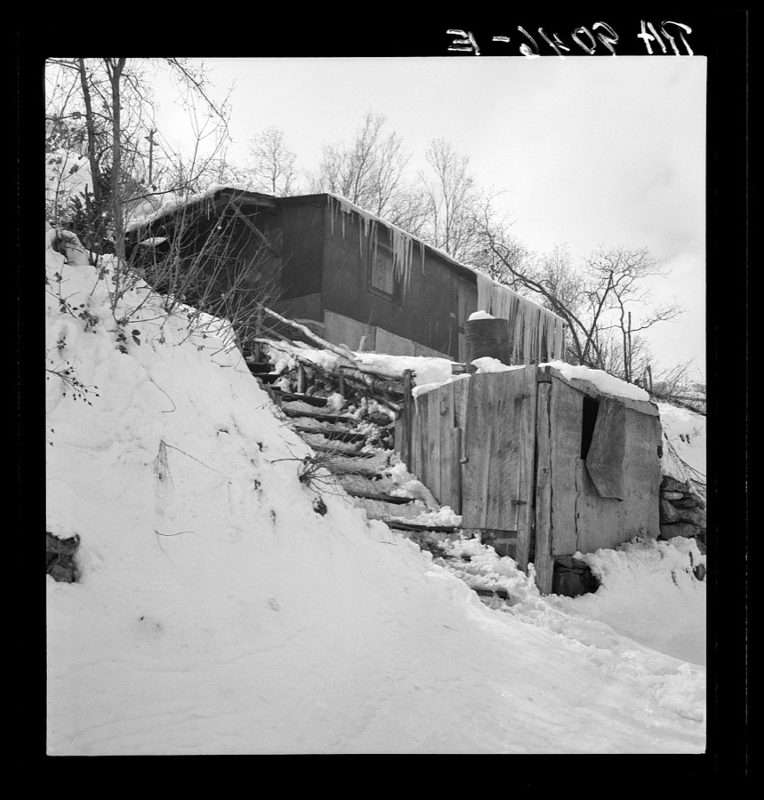
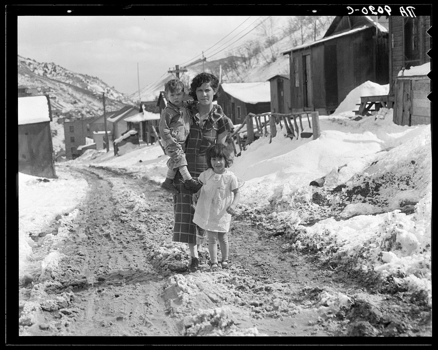
Photographs

44 photographs, 1936 to 1990

Taken for the Office of War Information and the Farm Security Administration, who photographed the country between 1935 and 1944. Works of United States government photographers, with no known restriction on use. Each opens its catalogue record.

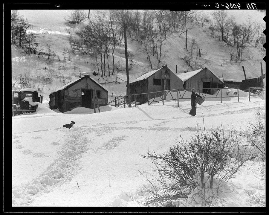
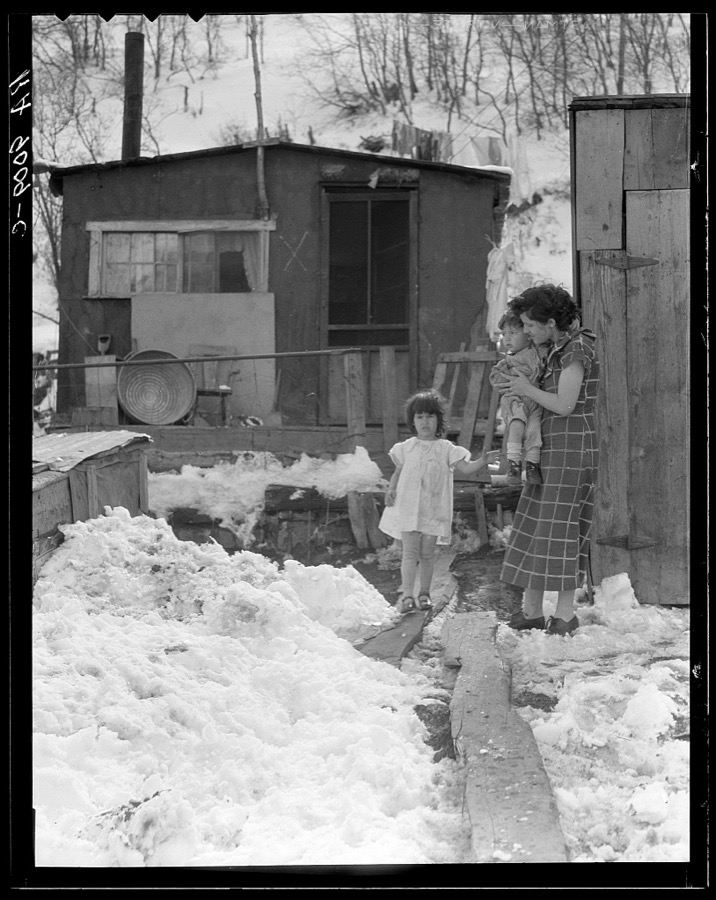
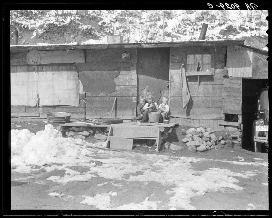
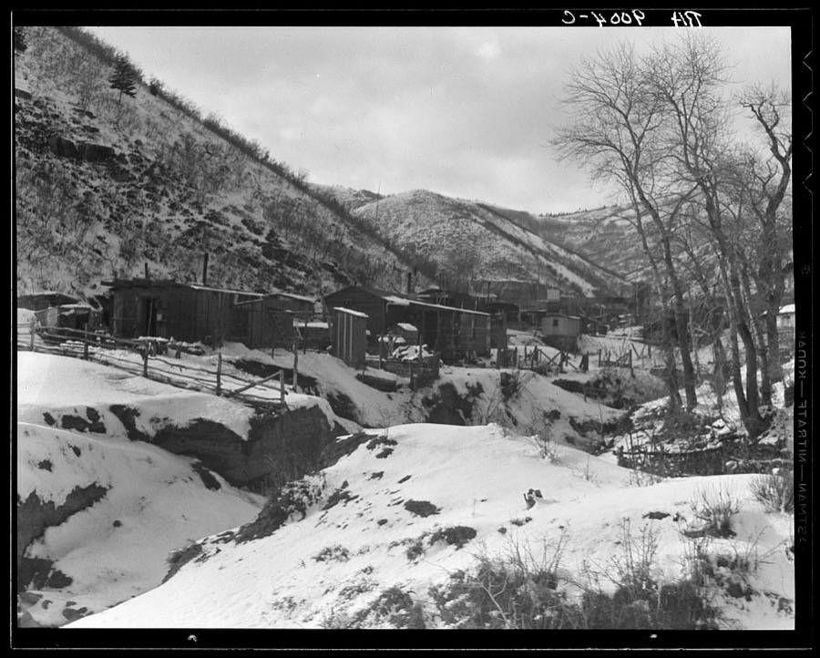
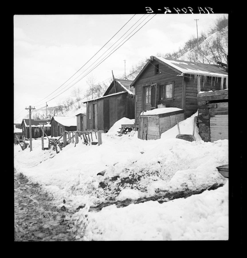
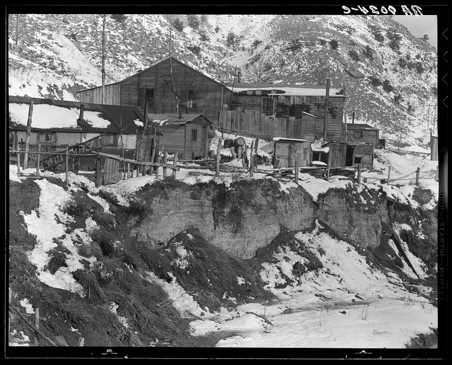
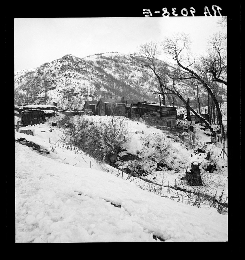
Utah coal town housing. Consumers, near Price, Utah. Mines owned and controlled by absentee capital in the East
Lange, Dorothea, photographer, 1936. Library of Congress
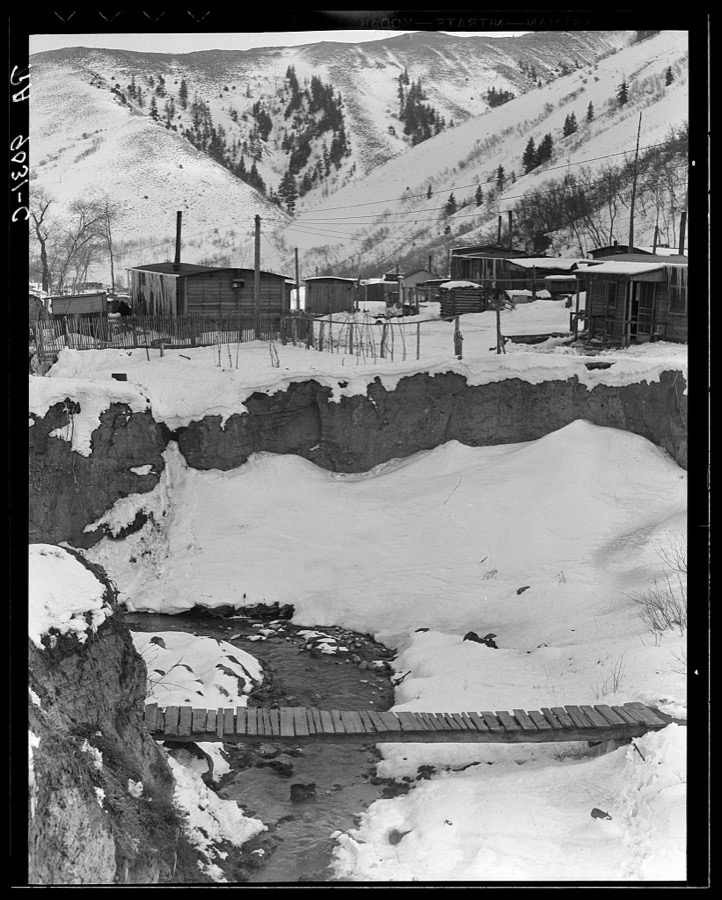
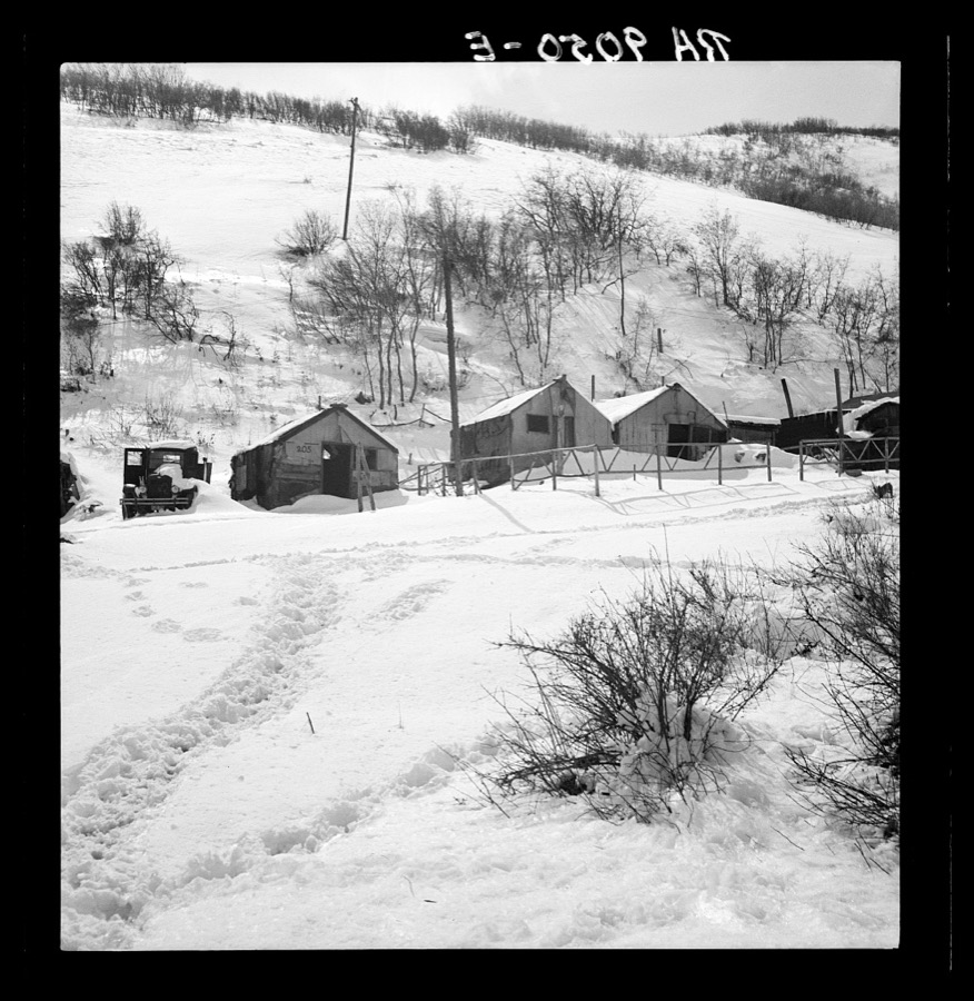
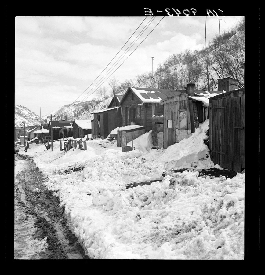
Consumers, near Price, Utah. View of company-owned houses. Utah coal town
Lange, Dorothea, photographer, 1936. Library of Congress
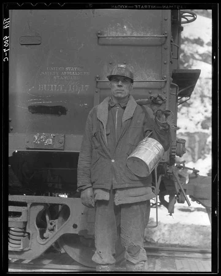
Utah coal miner. Consumers, near Price, Utah
Lange, Dorothea, photographer, 1936. Library of Congress
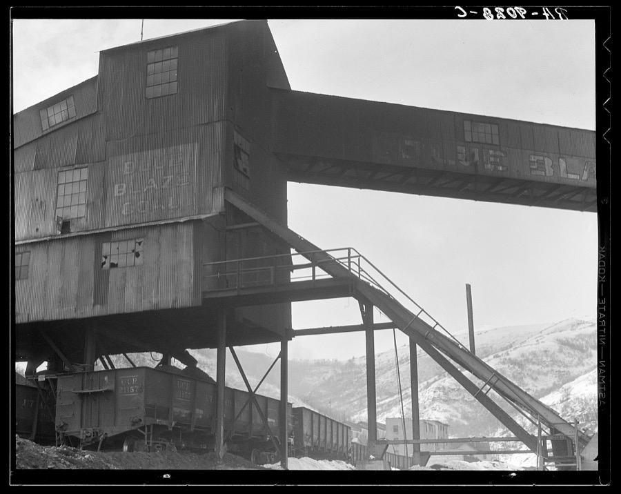
Consumers. Blue Blaze coal mine. Near Price, Utah
Lange, Dorothea, photographer, 1936. Library of Congress
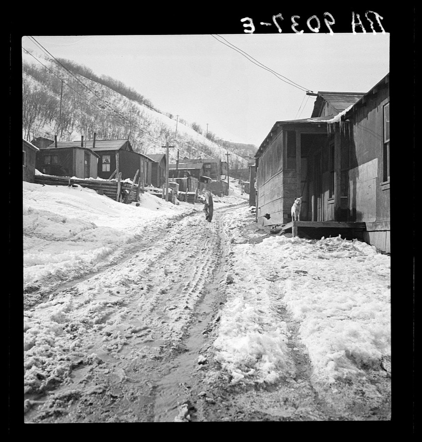
Main street in a Utah coal mining settlement. Consumers, near Price
Lange, Dorothea, photographer, 1936. Library of Congress
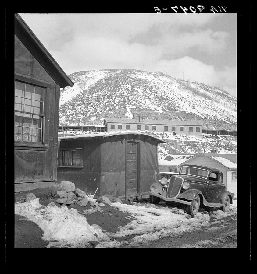
Consumers, near Price, Utah. Housing in Utah coal town
Lange, Dorothea, photographer, 1936. Library of Congress
Blue Blaze coal mine. Consumers, near Price, Utah
Lange, Dorothea, photographer, 1936. Library of Congress
Miner's home, company-owned. Blue Blaze Coal Company. Consumers, near Price, Utah
Lange, Dorothea, photographer, 1936. Library of Congress
Utah coal mining town. Consumers, near Price, Utah. "Dumping grounds of the West"
Lange, Dorothea, photographer, 1936. Library of Congress
Company housing, Utah coal town. Consumers, near Price, Utah
Lange, Dorothea, photographer, 1936. Library of Congress
Utah coal miners' houses. Consumer, near Price, Utah. Blue Blaze mine
Lange, Dorothea, photographer, 1936. Library of Congress
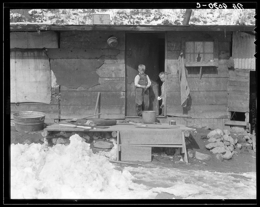
Home and family of a Utah coal miner. Consumers, near Price, Utah
Lange, Dorothea, photographer, 1936. Library of Congress
Main street, Utah coal town. Consumers, near Price, Utah
Lange, Dorothea, photographer, 1936. Library of Congress
Utah coal miner's house. Consumers, near Price, Utah
Lange, Dorothea, photographer, 1936. Library of Congress
Consumers, near Price, Utah. Company housing in coal town
Lange, Dorothea, photographer, 1936. Library of Congress
Main street, Utah coal town. Consumers, near Price, Utah
Lange, Dorothea, photographer, 1936. Library of Congress
Home and family of a Utah coal miner. Consumers, near Price, Utah
Lange, Dorothea, photographer, 1936. Library of Congress
Miner's shack. Blue Blaze coal mine. Consumers, near Price, Utah
Lange, Dorothea, photographer, 1936. Library of Congress
Utah coal mining town. Consumers, near Price, Utah. "Dumping grounds of the West"
Lange, Dorothea, photographer, 1936. Library of Congress
Consumers, near Price, Utah. Company housing. Rent approximately eight dollars monthly in Utah coal town
Lange, Dorothea, photographer, 1936. Library of Congress
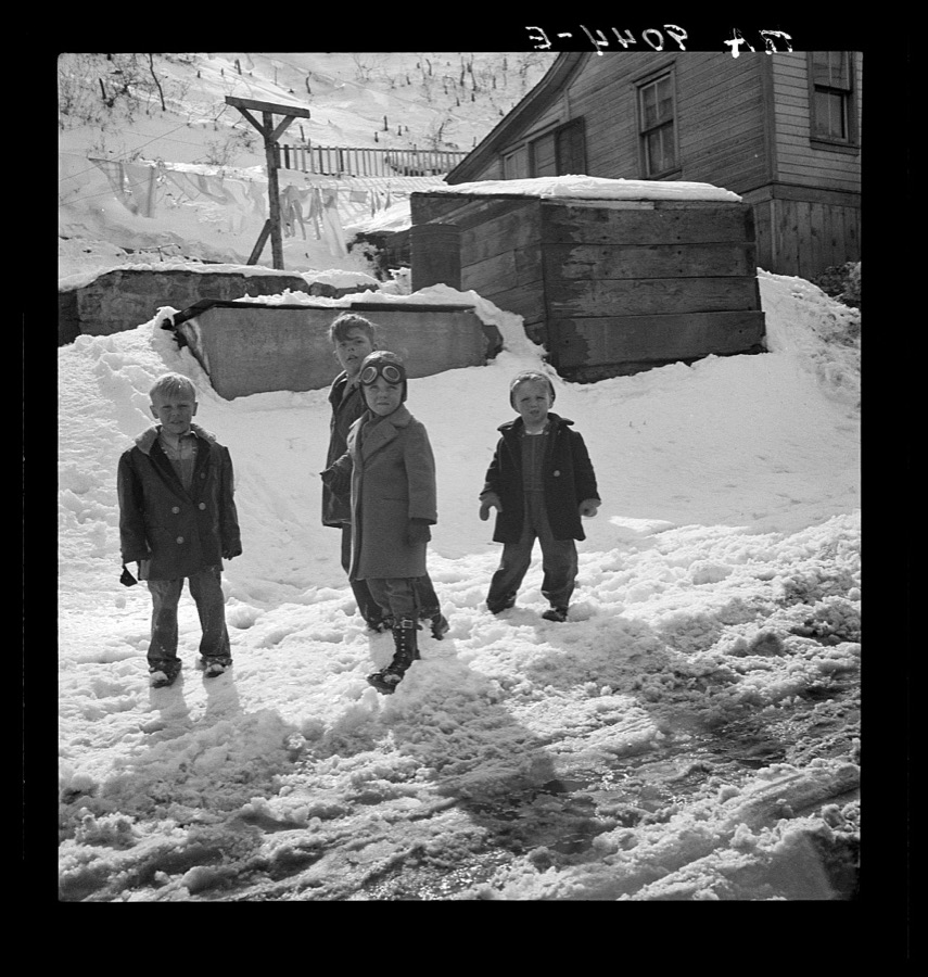
Blue Blaze coal mine. Connsumers, near Price, Utah. Future coal miners
Lange, Dorothea, photographer, 1936. Library of Congress
Miner's housing, company-owned, in Utah coal town. Consumers, near Price, Utah
Lange, Dorothea, photographer, 1936. Library of Congress
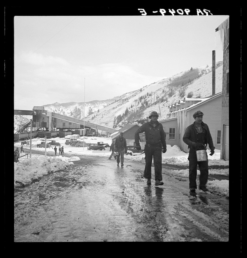
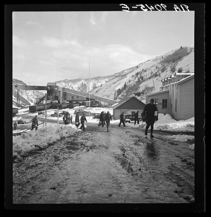
Blue Blaze mine. Consumers, mining town near Price, Utah. Miners coming home
Lange, Dorothea, photographer, 1936. Library of Congress
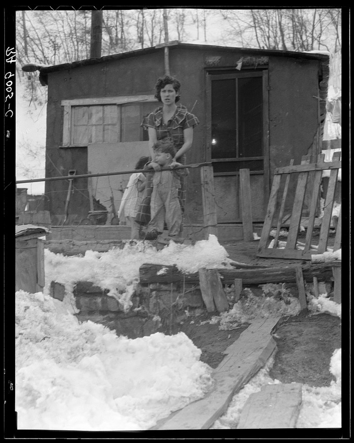
Home and family of a Utah coal miner. Consumers, near Price, Utah
Lange, Dorothea, photographer, 1936. Library of Congress
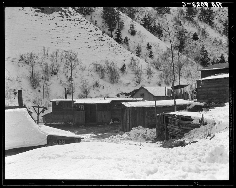
Blue Blaze mine, coal town, company houses. Consumers, near Price, Utah
Lange, Dorothea, photographer, 1936. Library of Congress
Consumers, near Price, Utah. Company housing. Rent approximately eight dollars monthly in Utah coal town
Lange, Dorothea, photographer, 1936. Library of Congress
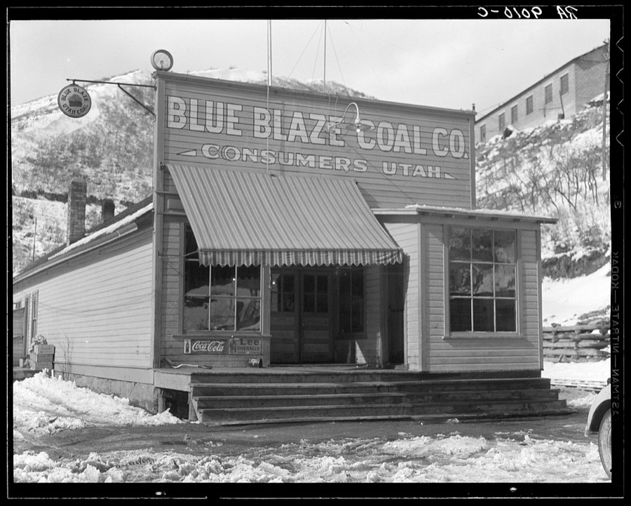
Company store in coal town. Consumers, near Price, Utah
Lange, Dorothea, photographer, 1936. Library of Congress
Blue Blaze mine. Consumers, mining town near Price, Utah. Miners coming home
Lange, Dorothea, photographer, 1936. Library of Congress
Consumers, near Price, Utah. Company housing in coal town
Lange, Dorothea, photographer, 1936. Library of Congress
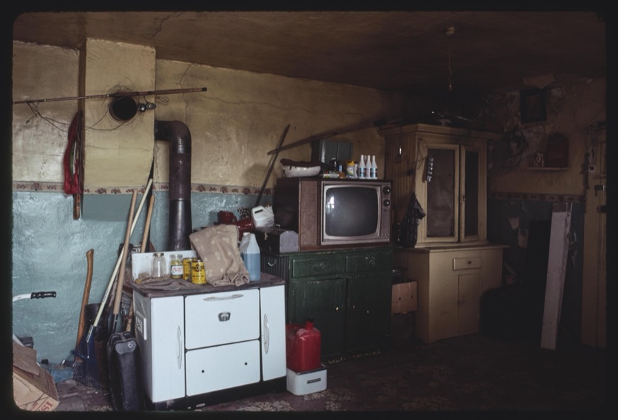
Columbia Steel Company bunkhouse, Columbia, Utah; Carbon County views, Carbon County, Utah
Carter, Thomas, 1949- (Photographer), 1990. Library of Congress
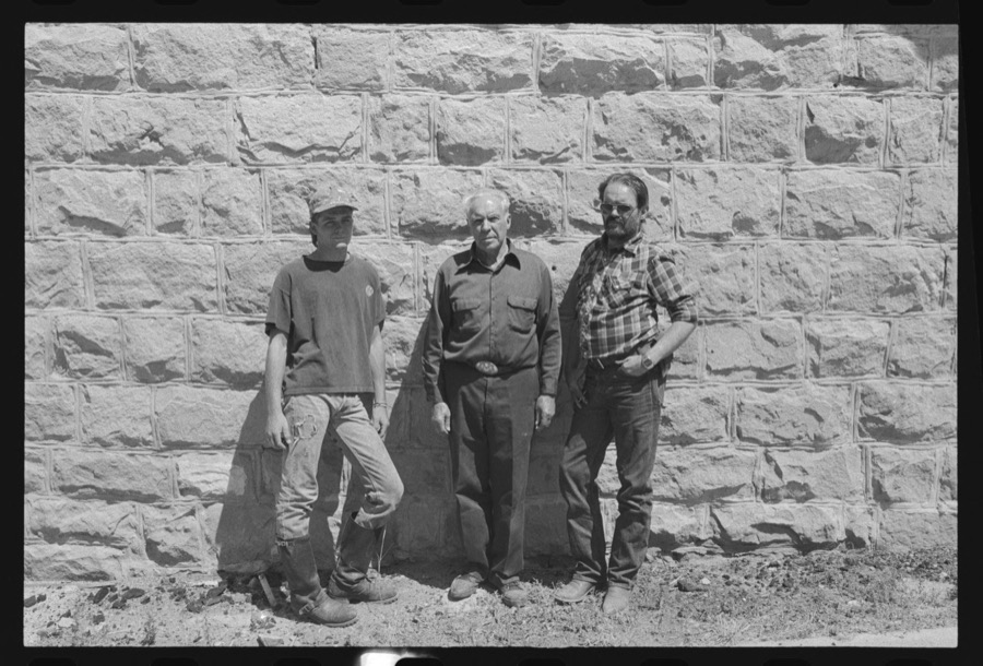
Kerry Nick Fister, Price, Utah; Carbon County Fairgrounds; Rose Vea, Spring Glen, Utah
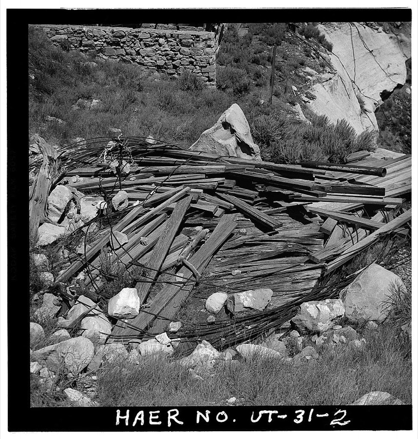
Siporin, Steve (Photographer), 1990. Library of Congress
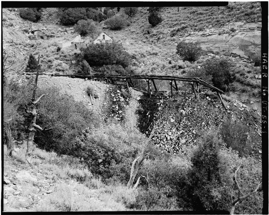
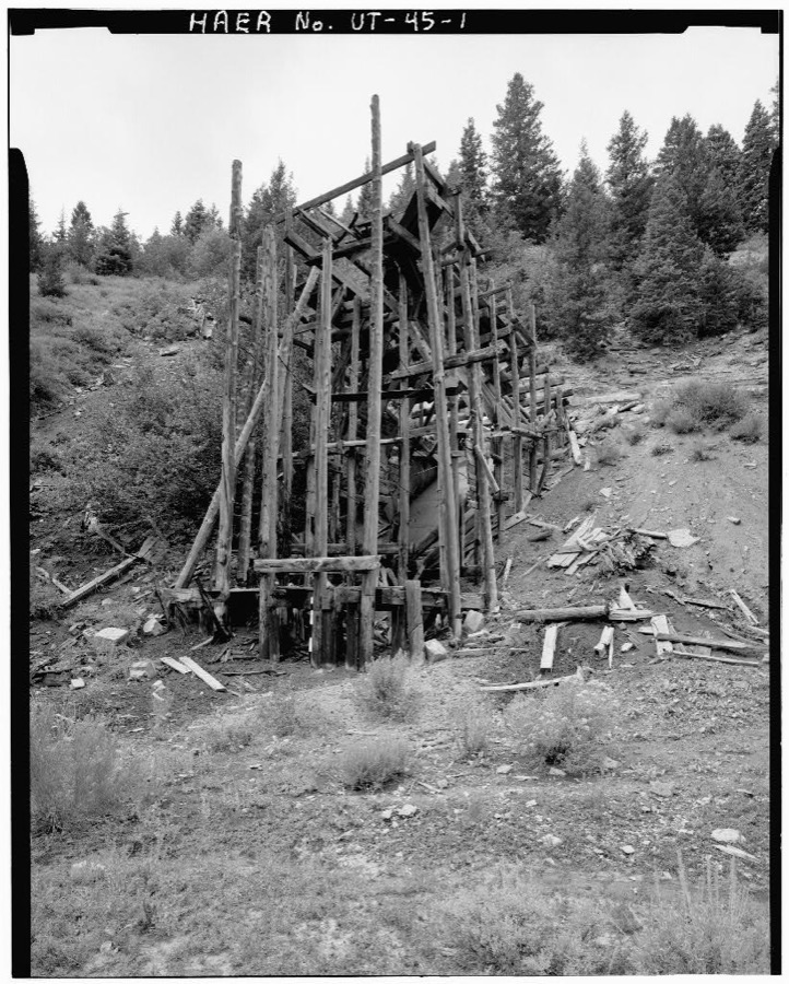
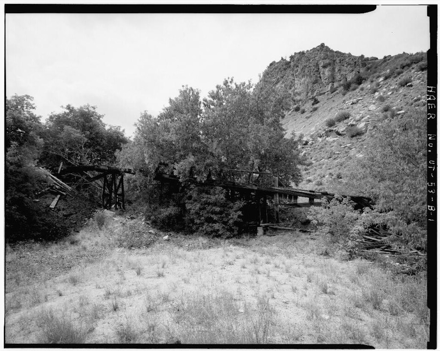
Standard Mine, Timber Trestle, Gilson Gulch, Standardville, Carbon County, UT
Photographer not recorded. Library of Congress
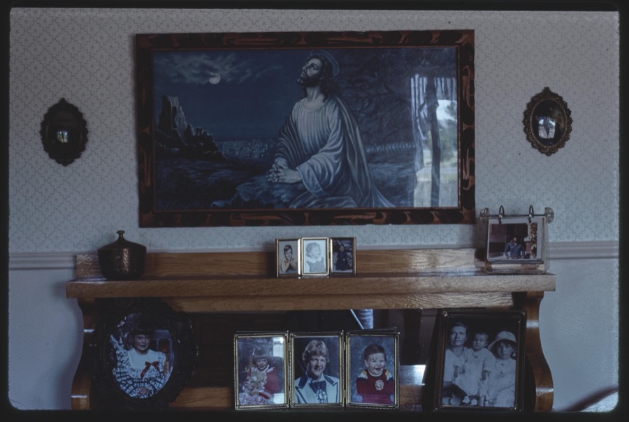
Manina House, Spring Glen, Carbon County, Utah
Carter, Thomas, 1949- (Photographer), 1990. Library of Congress
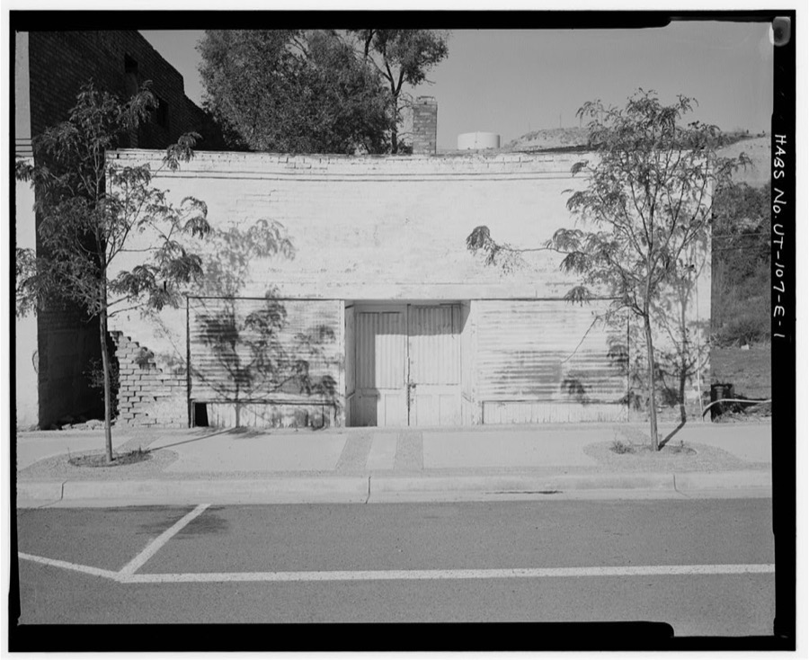
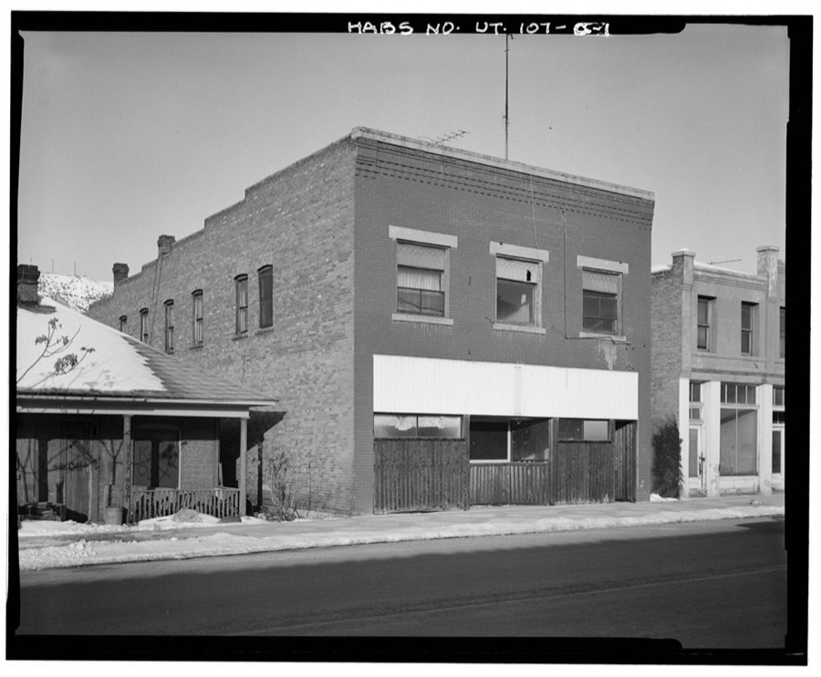
Helper Commercial District, Carbon Rubber & Repair Service Station, 220 South Main Street, Helper, Carbon County, UT
Photographer not recorded. Library of Congress
Day-Mutual Mine, Burnt Tree Fork, Spring Canyon, Helper, Carbon County, UT
Photographer not recorded. Library of Congress
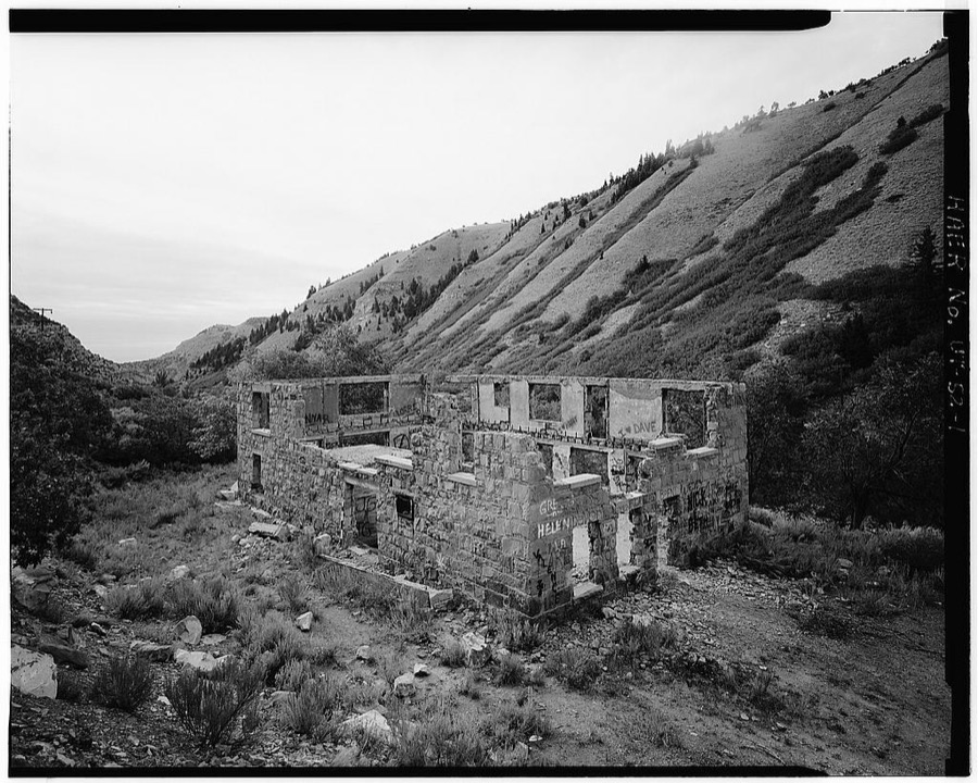
Winter Quarters Mine, Scofield, Carbon County, UT
Photographer not recorded. Library of Congress
Helper Commercial District, Carbon Hotel, 258 South Main Street, Helper, Carbon County, UT
Photographer not recorded. Library of Congress
Independent Coal & Coke Company, Kenilworth, Carbon County, UT
Photographer not recorded. Library of Congress
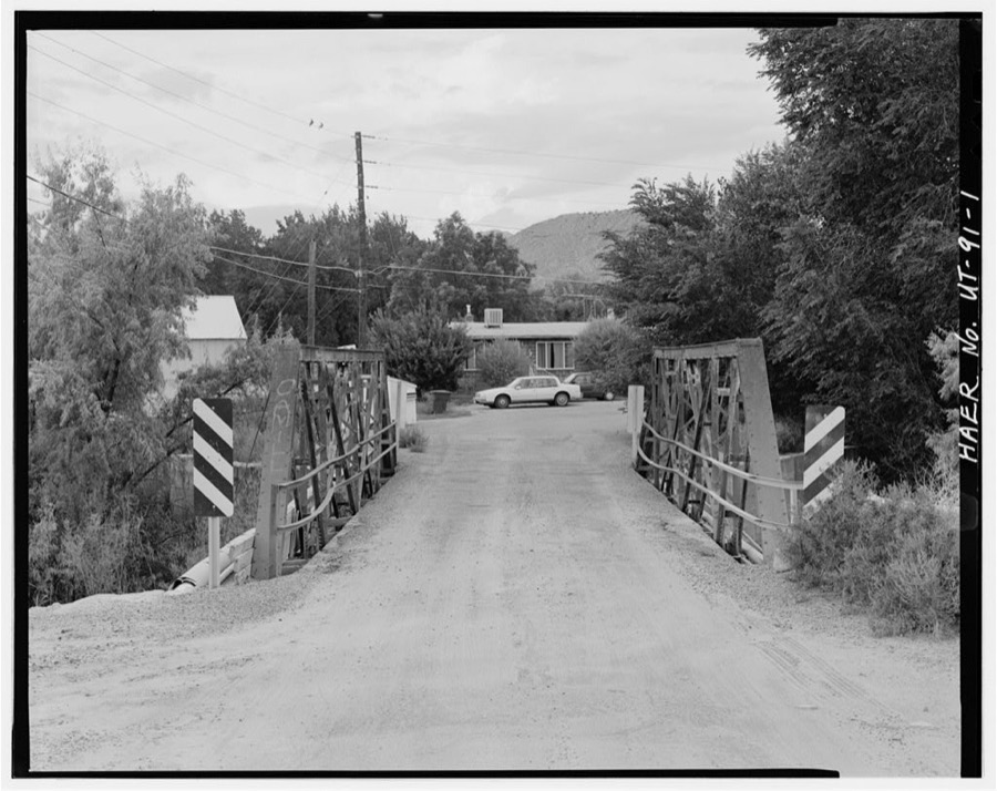
Price River Bridge, Spanning Price River, 760 North Street in Carbonville, 1 mile northwest of Price, Carbonville, Carbon County, UT
Photographer not recorded. Library of Congress
Liberty Fuel Company, Mine Office, Old Latuda Townsite, Spring Canyon, Standardville, Carbon County, UT
Photographer not recorded. Library of Congress
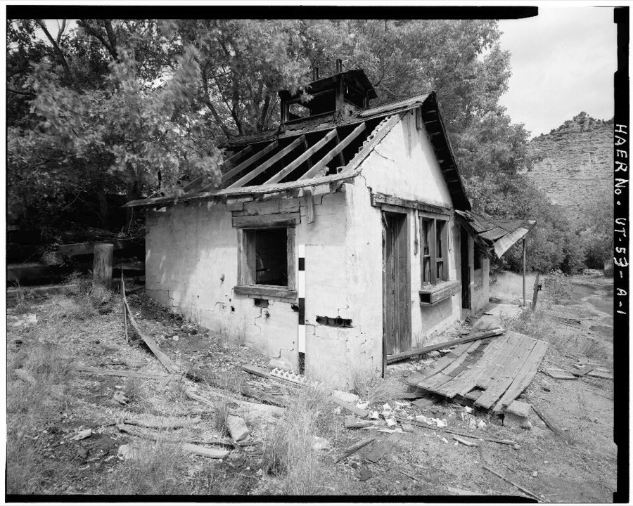
Rolapp Mine, Lamphouse, Price Canyon (mouth of Bear Canyon), Helper, Carbon County, UT
Photographer not recorded. Library of Congress
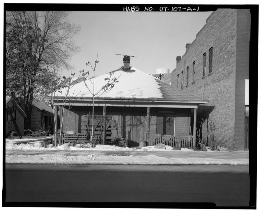
Helper Commercial District, Floyd House, 276 South Main Street, Helper, Carbon County, UT
Photographer not recorded. Library of Congress
Rolapp Mine, Tramway, Price Canyon (mouth of Bear Canyon), Helper, Carbon County, UT
Photographer not recorded. Library of Congress
Manina House, Spring Glen, Utah
Bergold, Bee (Research team member), 1990. Library of Congress

Places on the National Register

26

Every property in this county listed on the National Register of Historic Places, with the year it was listed and the federal nomination document.

Photograph PropertyType ListedReference
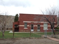
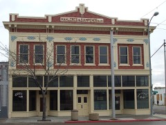
127 S Main Streetbuilding197979002491
183 South Main Streetbuilding197979002491
210 S Main Streetbuilding197979002491
39-47 W Mainbuilding200808000383
52 S Main Streetbuilding197979002491
94 S Main Streetbuilding197979002491
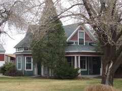
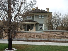
Albert and Mariah Bryner Housebuilding200808000858
Clerico Commercial Buildingbuilding199999000619
Desolation Canyonsite196868000057
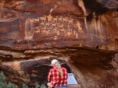
Great Hunt Panel Site, Thesite2018100001978
Oliver John Harmon Housebuilding199292001058
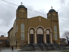
Hellenic Orthodox Church of the Assumptionbuilding197373001861
James W. and Mary K. Loofbourow Housebuilding198686000722
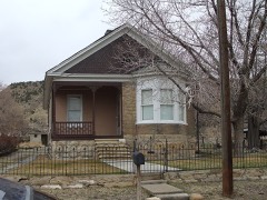
Camillo Manina Housebuilding199999000618
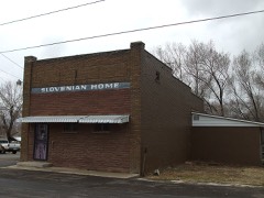
Martin Millarich Hallbuilding198080003894
Newhouse Hotelbuilding197979002491
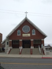
Notre Dame de Lourdes Catholic Churchbuilding197878002651
Parker and Weeter Blockbuilding198282004115
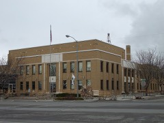
Price Municipal Buildingbuilding197878002652
Price Tavern/Braffet Blockbuilding197878002653
Star Theatrebuilding198282004116
Topolovec Farmsteadbuilding198282004117
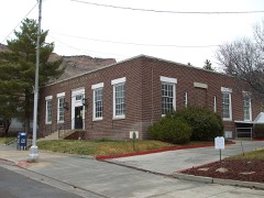
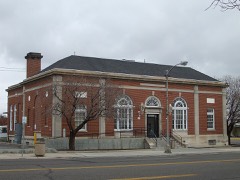
US Post Office-Helper Mainbuilding198989001995
US Post Office-Price Mainbuilding198989001998
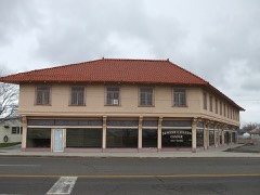
Utah Hotelbuilding197979002491
Verde Homesteadbuilding200707000079

Photographs from libraries nationwide

2 of 5 shown

Selected from the Digital Public Library of America's 5 image records catalogued for this county. Every one shown here carries a public-domain status or a licence that permits reuse on a site that carries advertising; non-commercial, share-alike and restricted images are excluded. The selection is spread across the county's towns (at most eight per town), so no single institution's bulk upload crowds out the rest. Each opens the holding library's record, and the complete set at the Digital Public Library of America is one click away.
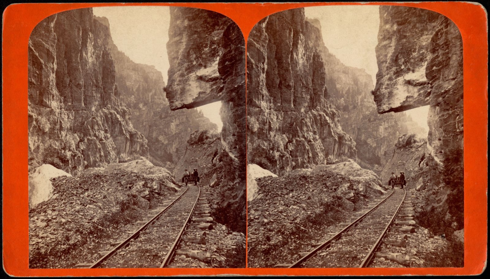
Hanging Rock, American Fork Canyon, looking west. On line American Fork narrow gauge R.R., Boston Public Library - undated
Hanging Rock, American Fork Canyon, looking west. On line American Fork narrow gauge R.R.. Savage, C. R. (Charles Roscoe), 1832-1909, Boston Public Library, via the Digital Public Library of America.
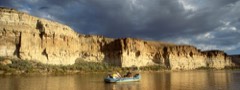
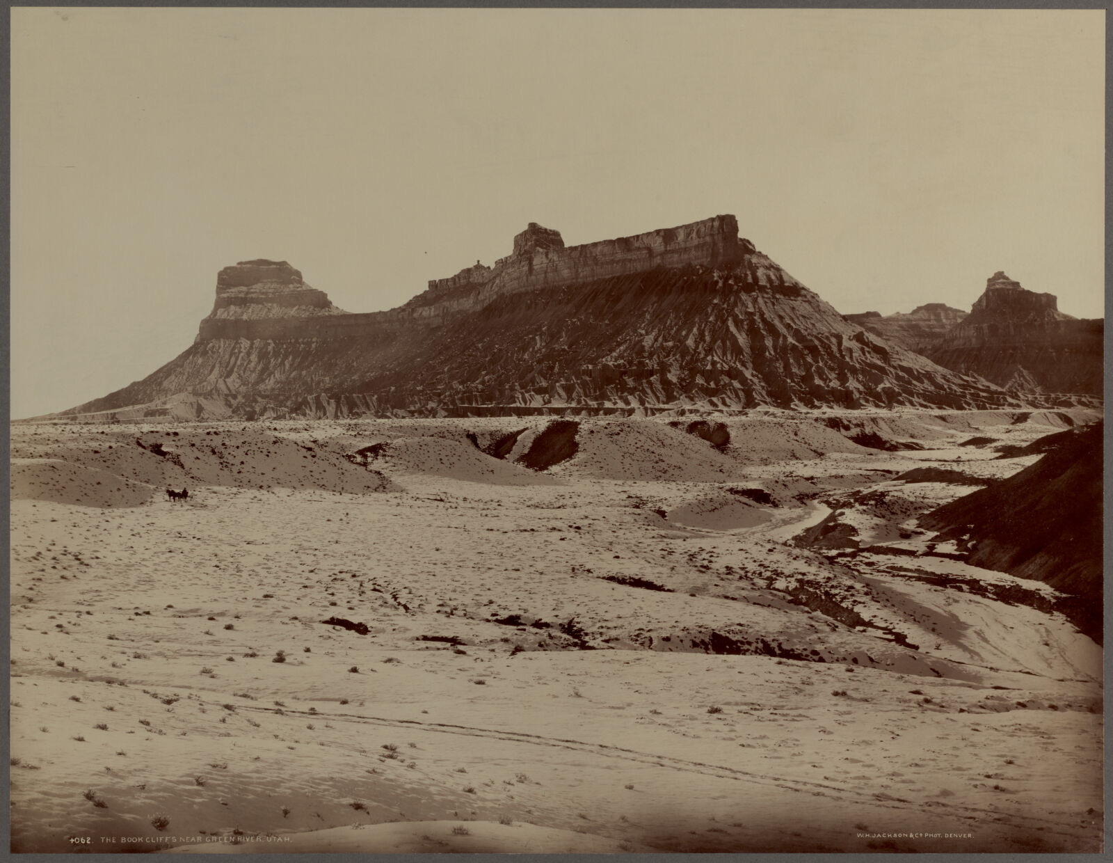
The Book Cliffs near Green River, Utah, Boston Public Library - undated
The Book Cliffs near Green River, Utah. Jackson, William Henry, 1843-1942, Boston Public Library, via the Digital Public Library of America.

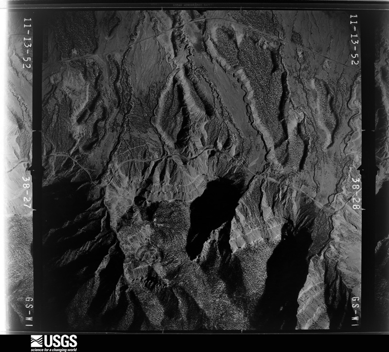
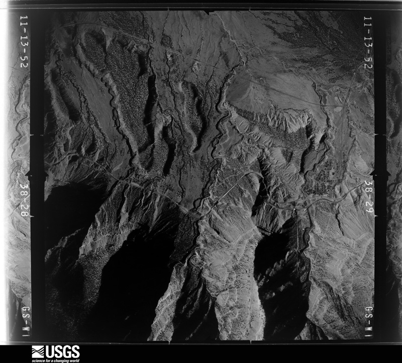
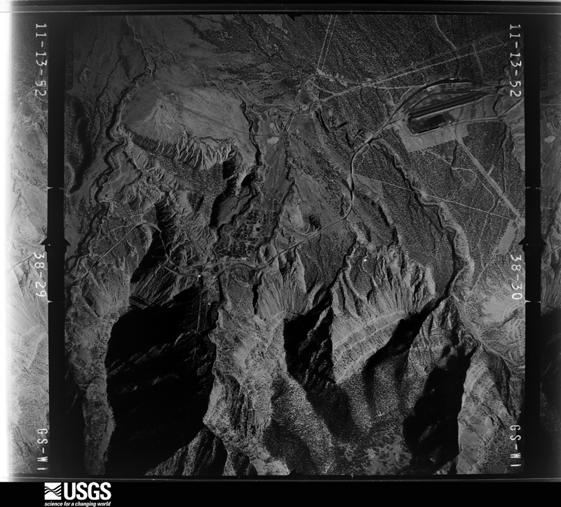
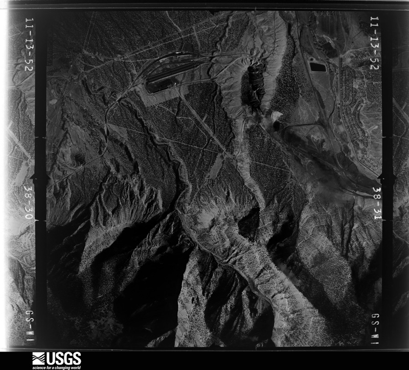
The county from the air

48 shown

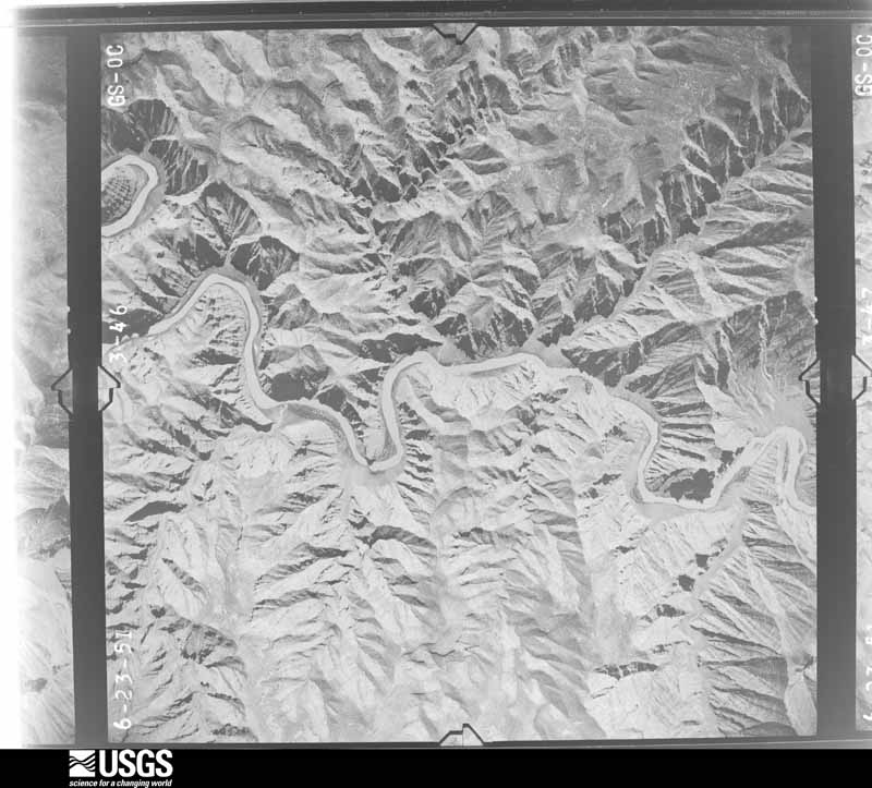
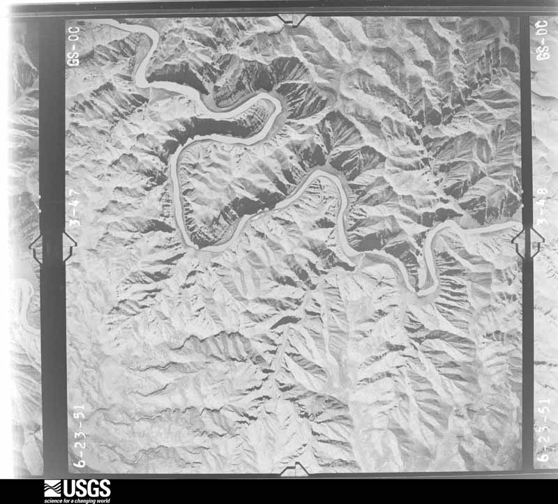
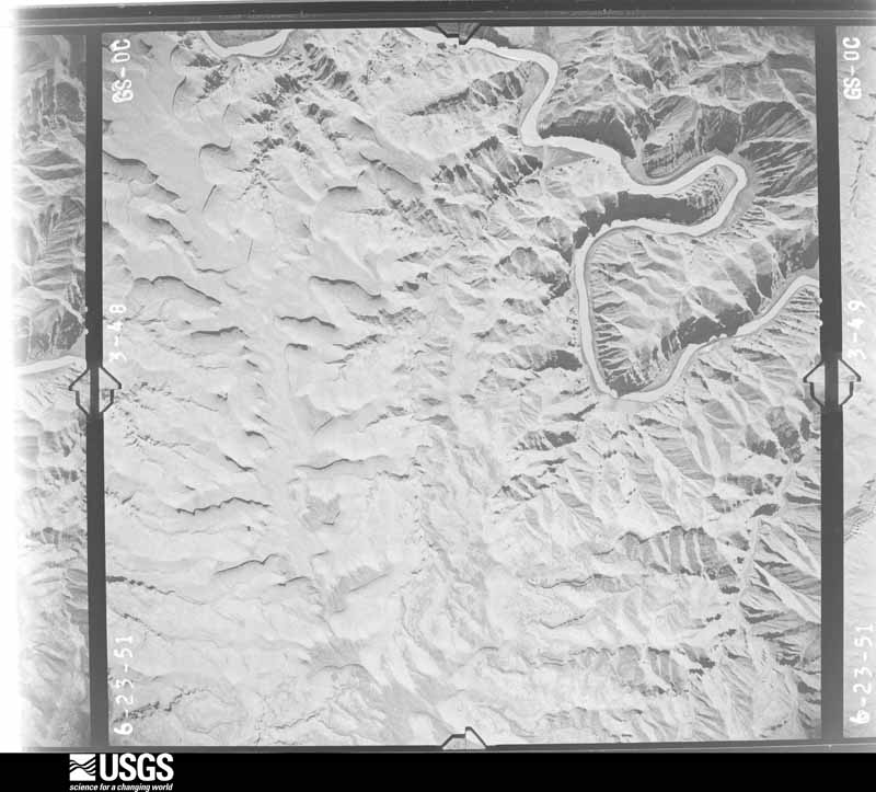
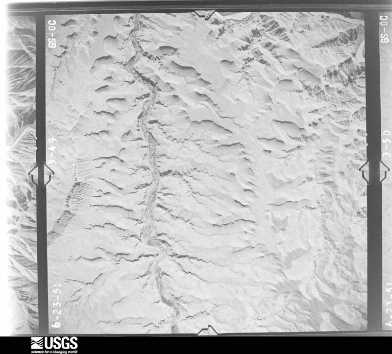
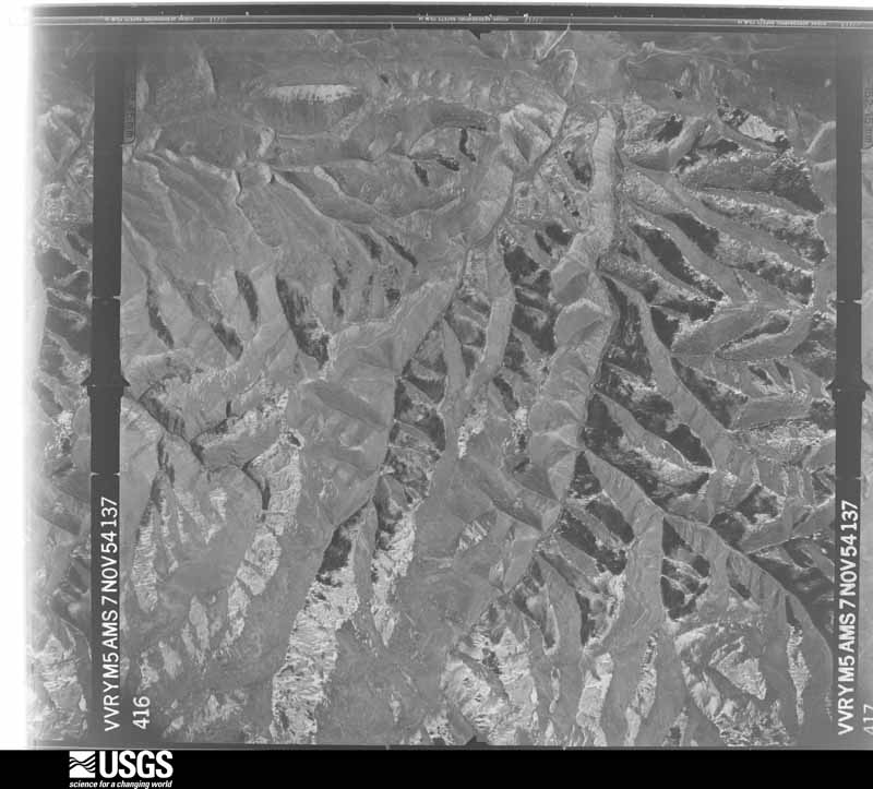
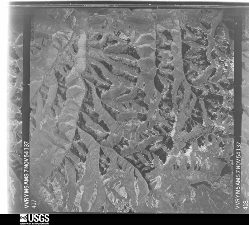
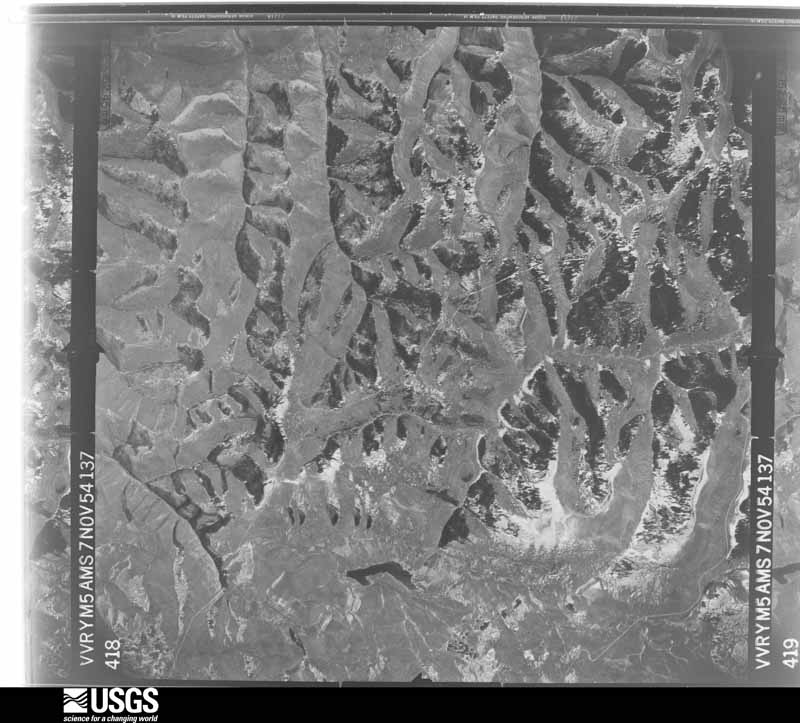
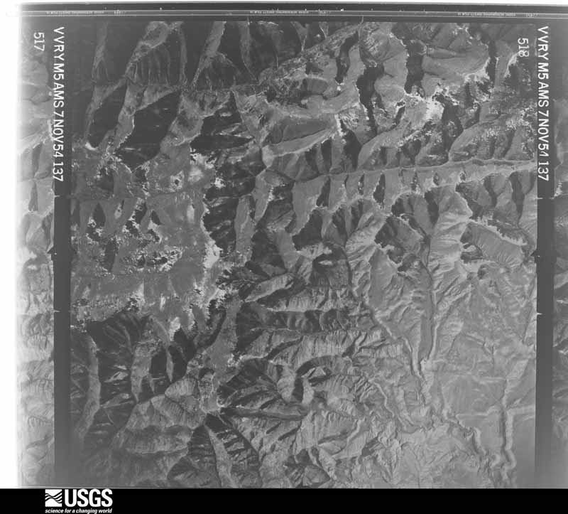
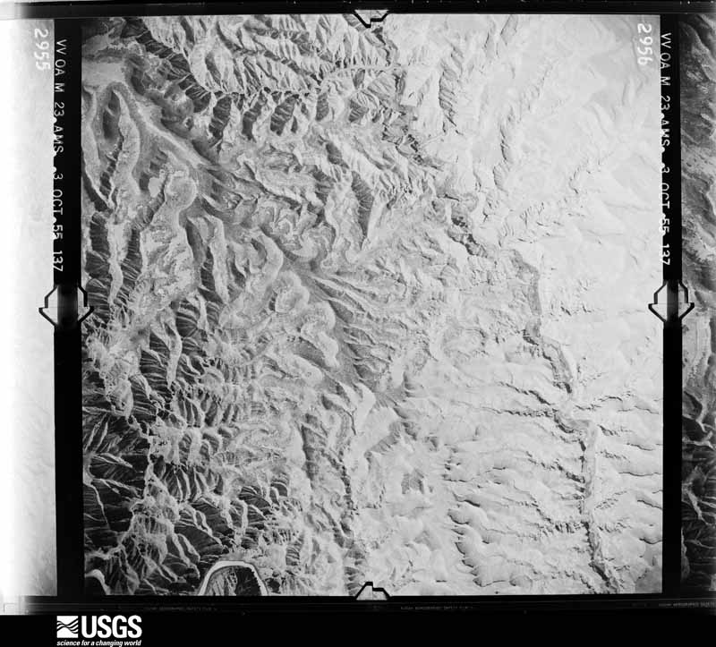
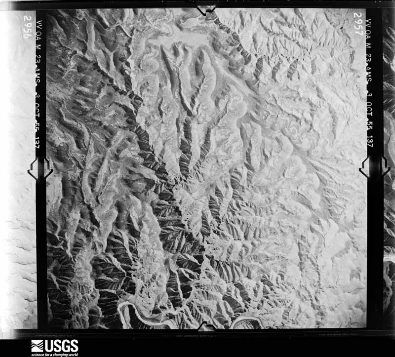
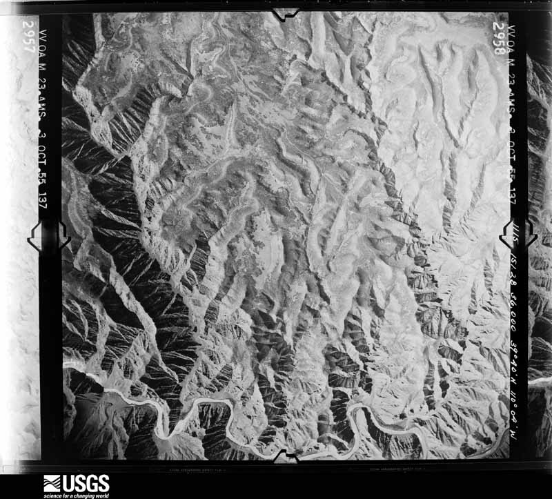
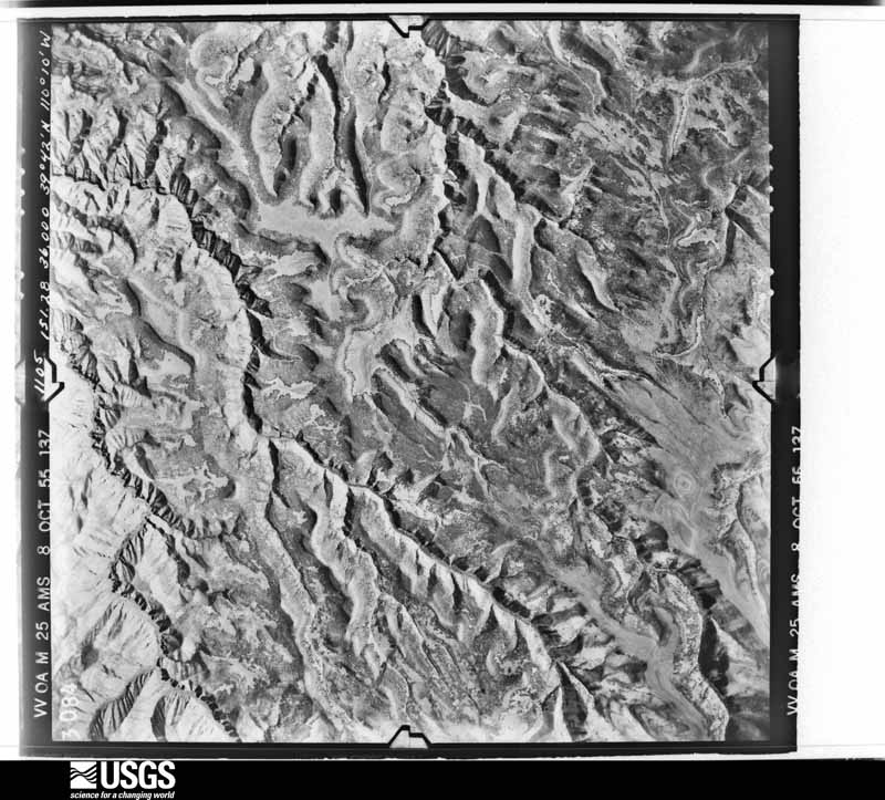
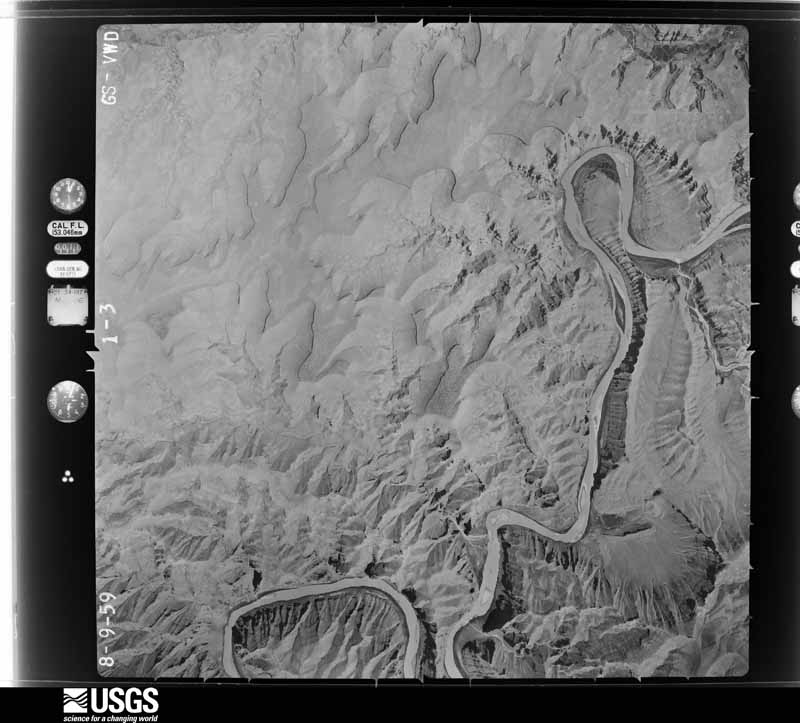
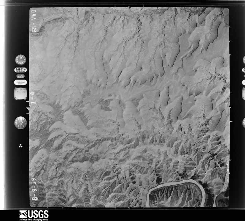
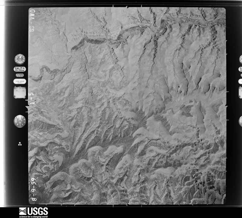
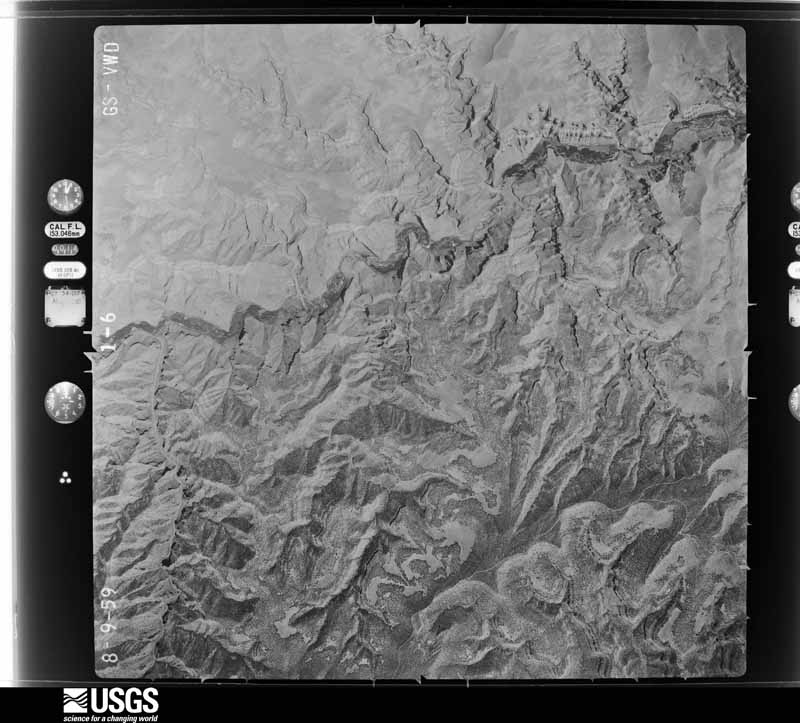
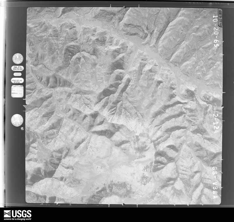
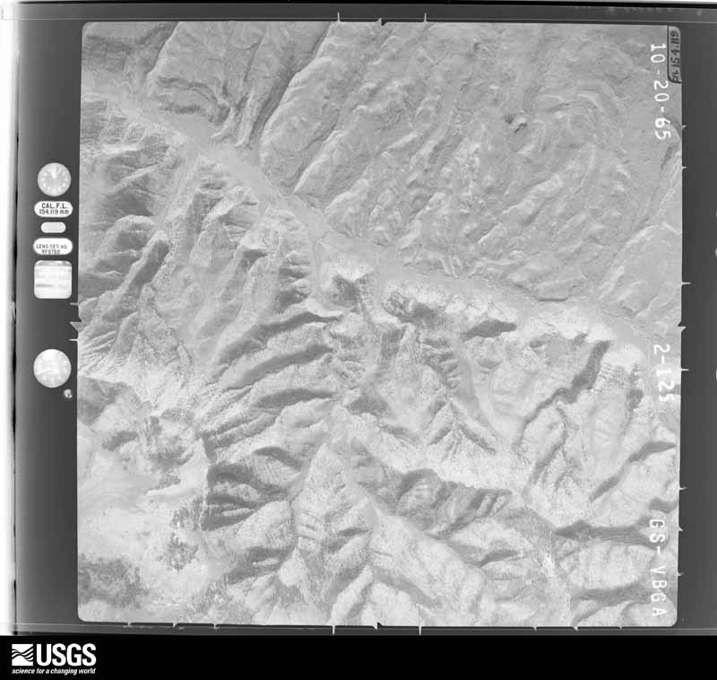
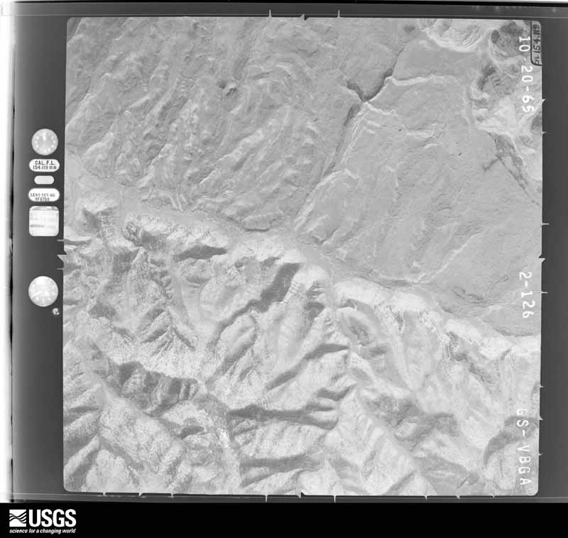
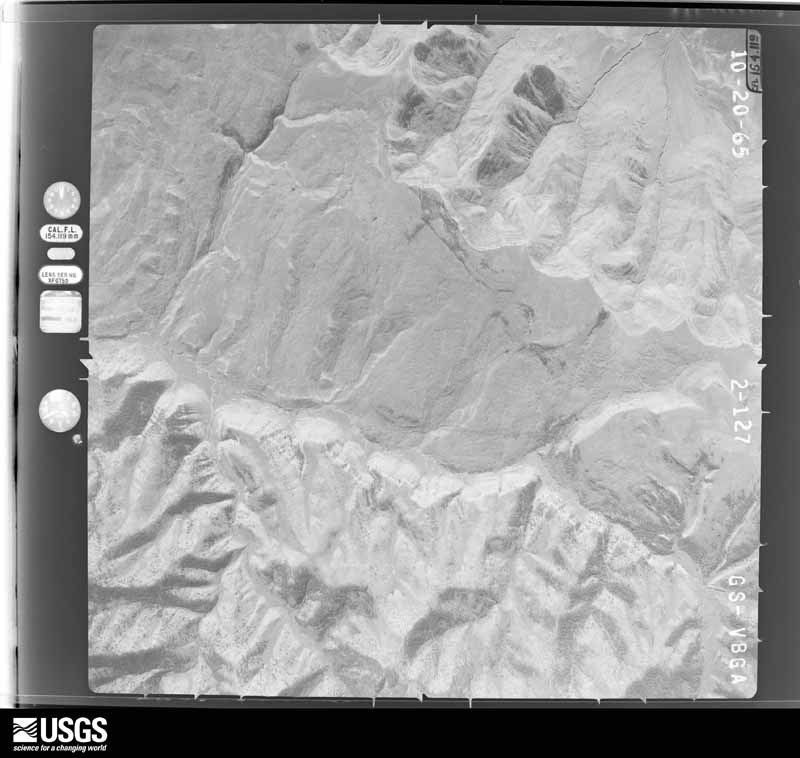
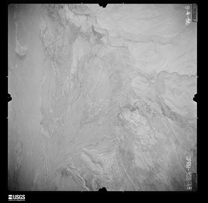
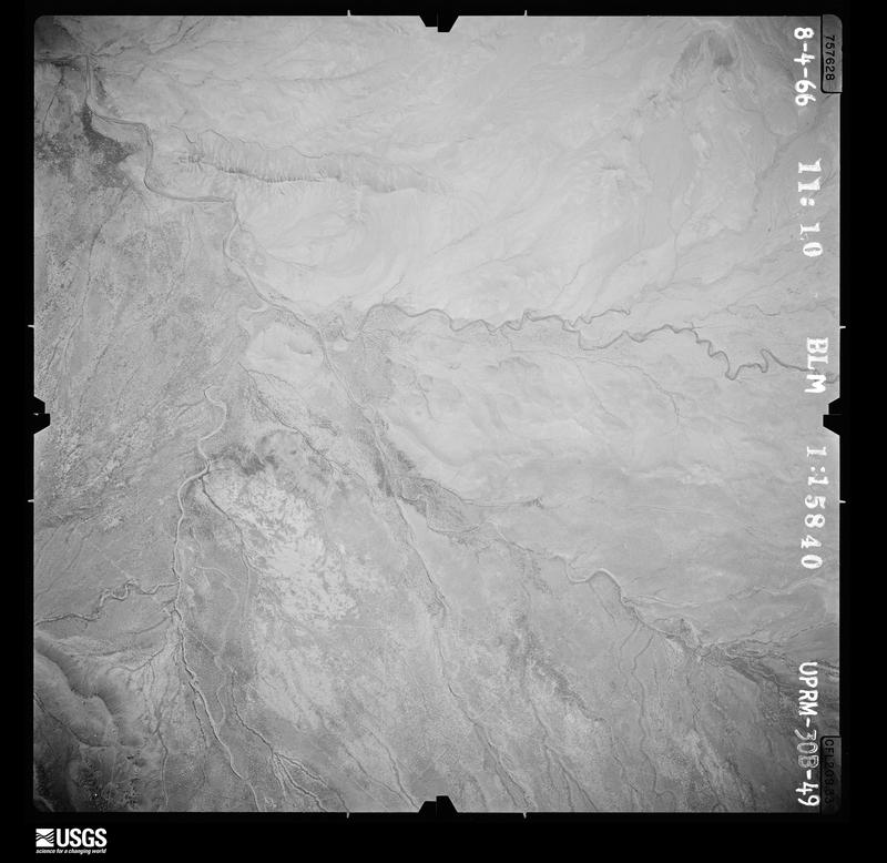
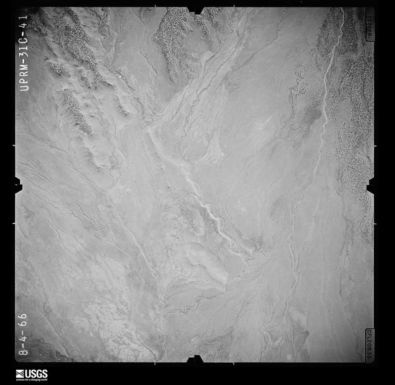
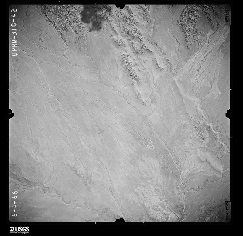
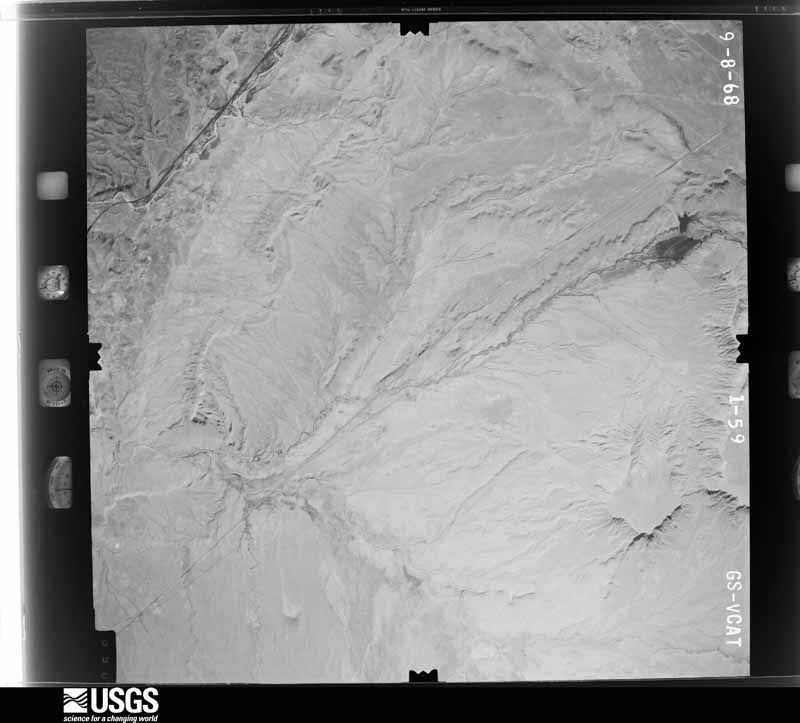
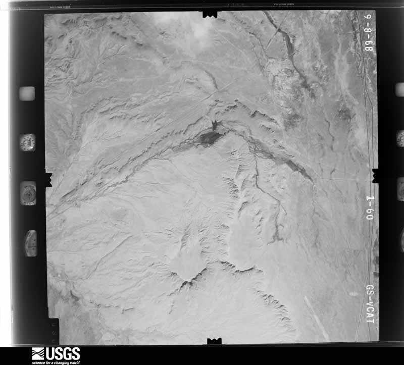
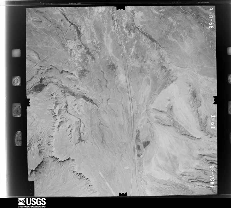
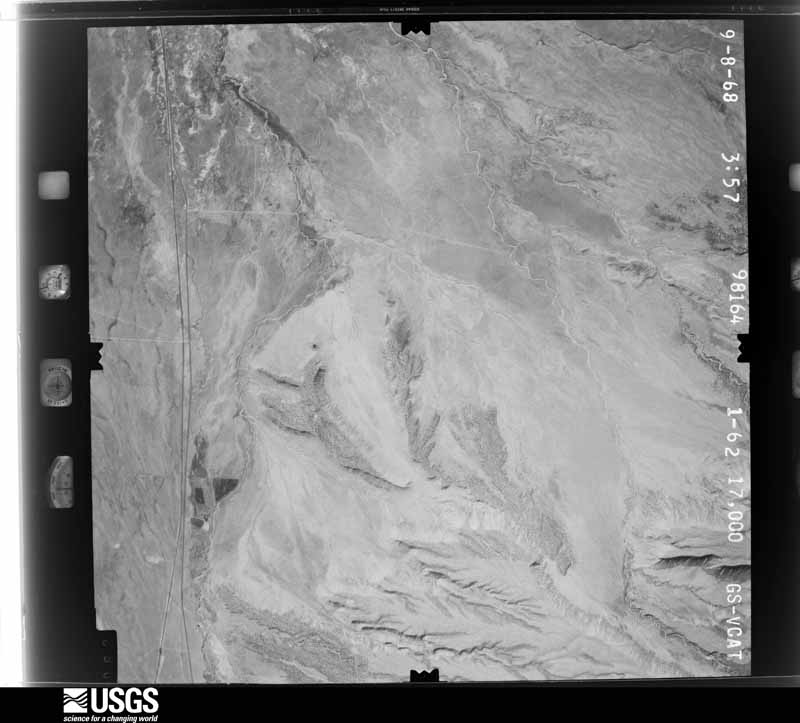
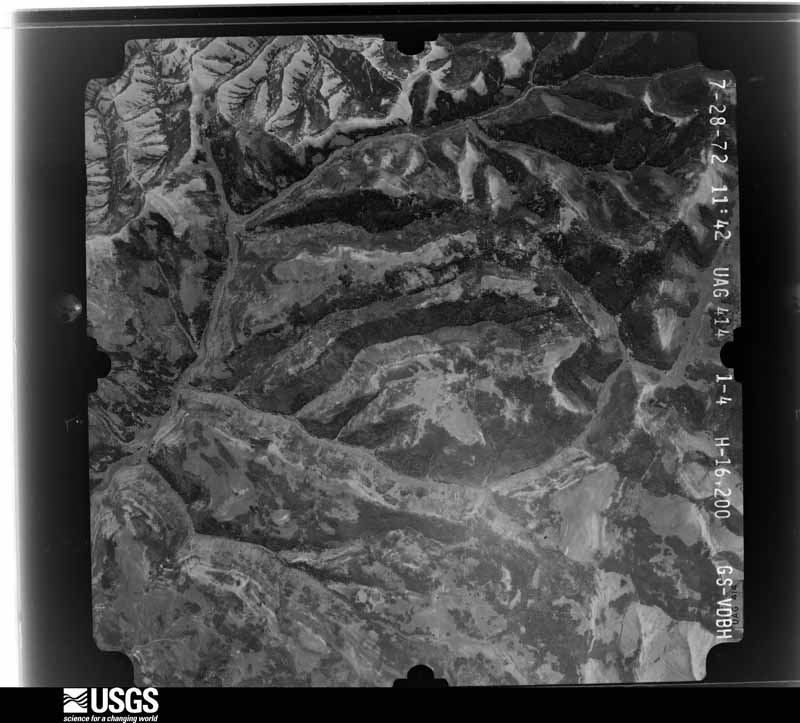
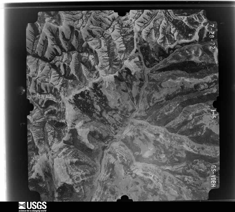
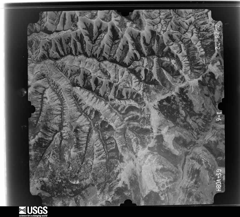
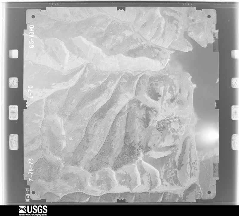
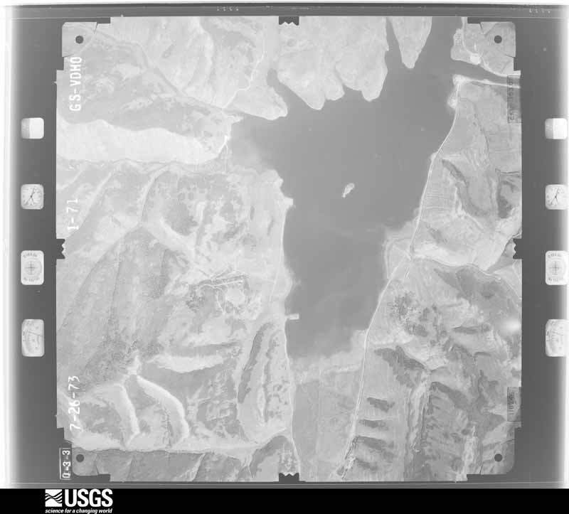
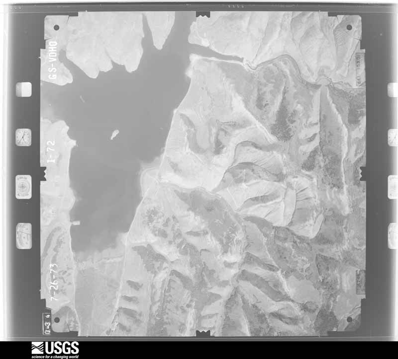
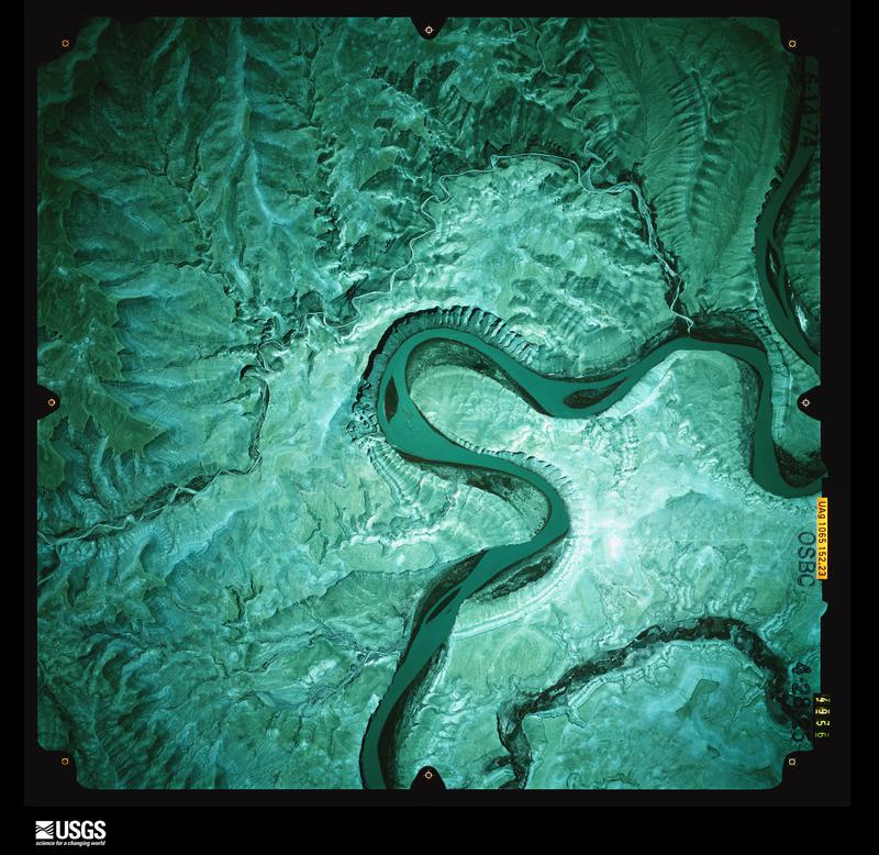
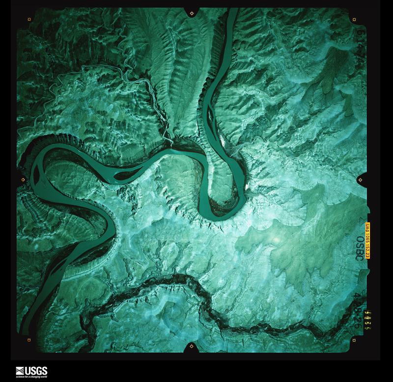
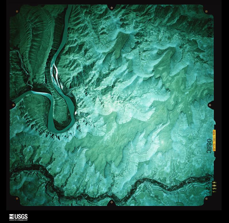
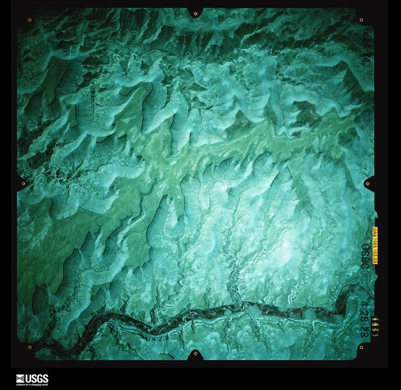
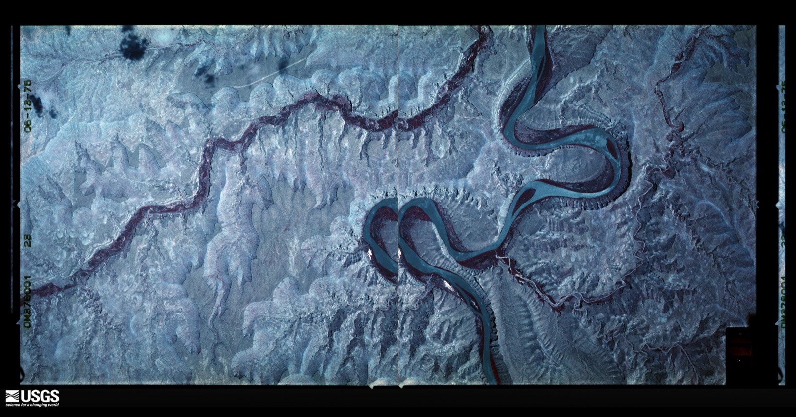
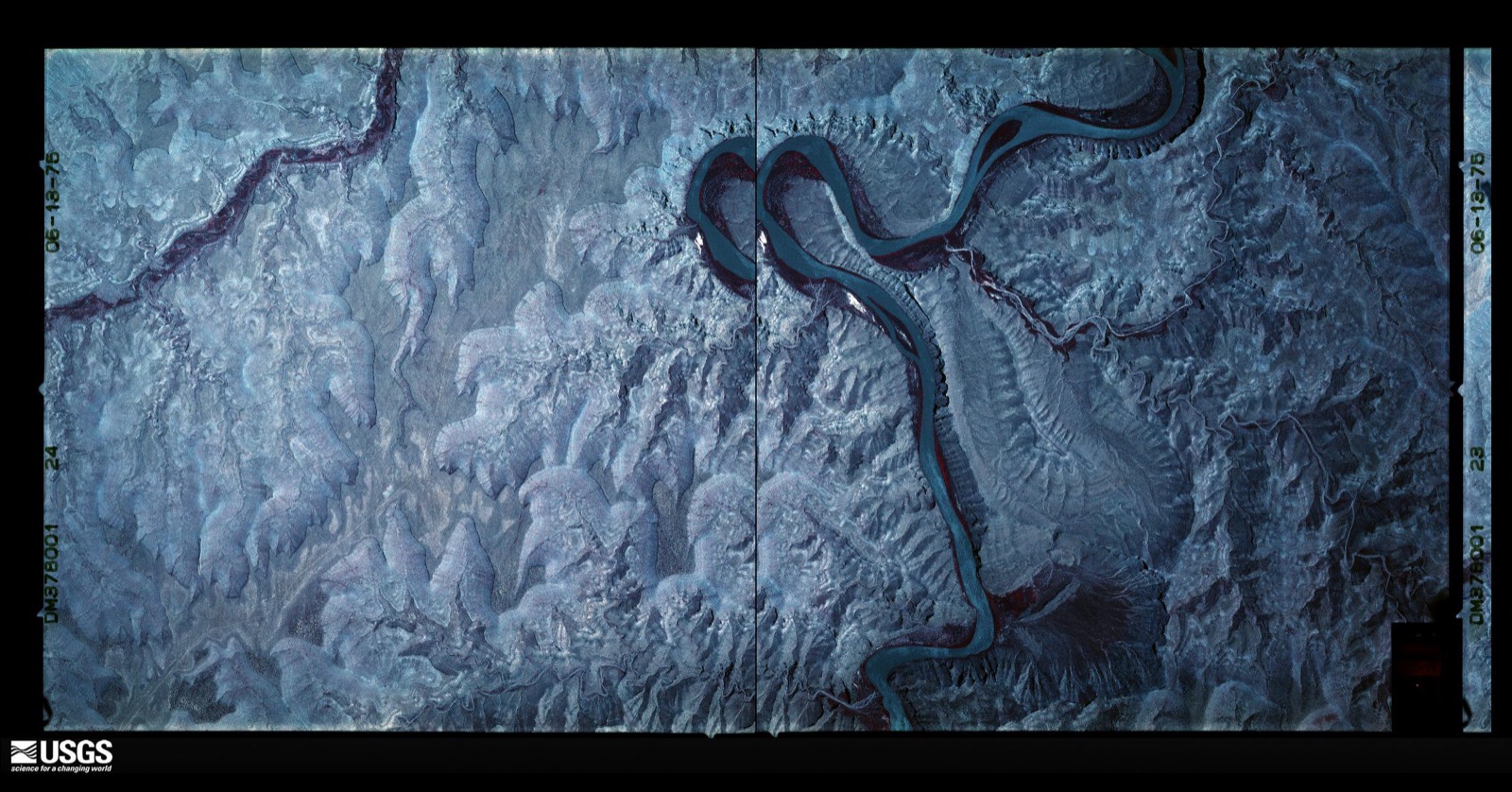
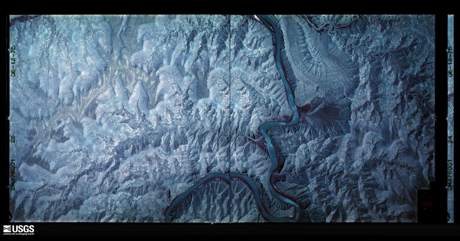
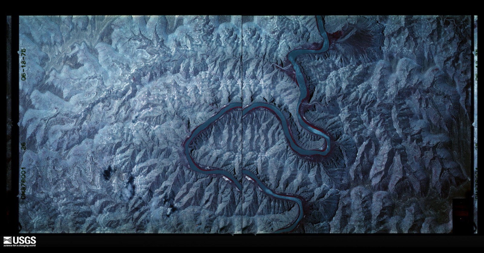
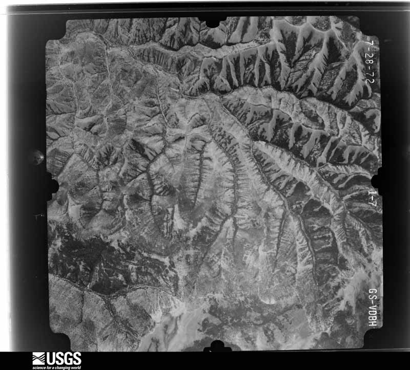
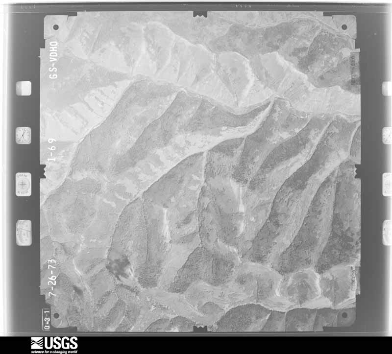
Flown by the U.S. Geological Survey between 1937 and 1989, the Aerial Photo Single Frames collection is the definitive mid-century view of the land: fields, roads and rivers as the camera saw them. The Survey holds 3,215 frames inside the rectangle that bounds this county; the 48 frames below were taken over the county itself, chosen across the decades of flights (at most four a year from that rectangle), so one flight cannot crowd out the rest. The full set is free to browse and download at EarthExplorer under the dataset Aerial Photo Single Frames.

U.S. Geological Survey aerial photograph, 1951-07-01, scale 1:47200
1951-07-01, scale 1:47200. U.S. Geological Survey aerial photograph.
U.S. Geological Survey aerial photograph, 1951-07-01, scale 1:47200
1951-07-01, scale 1:47200. U.S. Geological Survey aerial photograph.
U.S. Geological Survey aerial photograph, 1951-07-01, scale 1:47200
1951-07-01, scale 1:47200. U.S. Geological Survey aerial photograph.
U.S. Geological Survey aerial photograph, 1951-07-01, scale 1:47200
1951-07-01, scale 1:47200. U.S. Geological Survey aerial photograph.
U.S. Geological Survey aerial photograph, 1952-11-13, scale 1:20000
1952-11-13, scale 1:20000. U.S. Geological Survey aerial photograph.
U.S. Geological Survey aerial photograph, 1952-11-13, scale 1:20000
1952-11-13, scale 1:20000. U.S. Geological Survey aerial photograph.
U.S. Geological Survey aerial photograph, 1952-11-13, scale 1:20000
1952-11-13, scale 1:20000. U.S. Geological Survey aerial photograph.
U.S. Geological Survey aerial photograph, 1952-11-13, scale 1:20000
1952-11-13, scale 1:20000. U.S. Geological Survey aerial photograph.
U.S. Geological Survey aerial photograph, 1954-11-07, scale 1:60000
1954-11-07, scale 1:60000. U.S. Geological Survey aerial photograph.
U.S. Geological Survey aerial photograph, 1954-11-07, scale 1:60000
1954-11-07, scale 1:60000. U.S. Geological Survey aerial photograph.
U.S. Geological Survey aerial photograph, 1954-11-07, scale 1:60000
1954-11-07, scale 1:60000. U.S. Geological Survey aerial photograph.
U.S. Geological Survey aerial photograph, 1954-11-07, scale 1:60000
1954-11-07, scale 1:60000. U.S. Geological Survey aerial photograph.
U.S. Geological Survey aerial photograph, 1955-10-03, scale 1:60000
1955-10-03, scale 1:60000. U.S. Geological Survey aerial photograph.
U.S. Geological Survey aerial photograph, 1955-10-03, scale 1:60000
1955-10-03, scale 1:60000. U.S. Geological Survey aerial photograph.
U.S. Geological Survey aerial photograph, 1955-10-03, scale 1:60000
1955-10-03, scale 1:60000. U.S. Geological Survey aerial photograph.
U.S. Geological Survey aerial photograph, 1955-10-08, scale 1:60000
1955-10-08, scale 1:60000. U.S. Geological Survey aerial photograph.
U.S. Geological Survey aerial photograph, 1959-08-30, scale 1:40000
1959-08-30, scale 1:40000. U.S. Geological Survey aerial photograph.
U.S. Geological Survey aerial photograph, 1959-08-30, scale 1:40000
1959-08-30, scale 1:40000. U.S. Geological Survey aerial photograph.
U.S. Geological Survey aerial photograph, 1959-08-30, scale 1:40000
1959-08-30, scale 1:40000. U.S. Geological Survey aerial photograph.
U.S. Geological Survey aerial photograph, 1959-08-30, scale 1:40000
1959-08-30, scale 1:40000. U.S. Geological Survey aerial photograph.
U.S. Geological Survey aerial photograph, 1965-10-22, scale 1:34000
1965-10-22, scale 1:34000. U.S. Geological Survey aerial photograph.
U.S. Geological Survey aerial photograph, 1965-10-22, scale 1:34000
1965-10-22, scale 1:34000. U.S. Geological Survey aerial photograph.
U.S. Geological Survey aerial photograph, 1965-10-22, scale 1:34000
1965-10-22, scale 1:34000. U.S. Geological Survey aerial photograph.
U.S. Geological Survey aerial photograph, 1965-10-22, scale 1:34000
1965-10-22, scale 1:34000. U.S. Geological Survey aerial photograph.
U.S. Geological Survey aerial photograph, 1966-08-04, scale 1:15840
1966-08-04, scale 1:15840. U.S. Geological Survey aerial photograph.
U.S. Geological Survey aerial photograph, 1966-08-04, scale 1:15840
1966-08-04, scale 1:15840. U.S. Geological Survey aerial photograph.
U.S. Geological Survey aerial photograph, 1966-08-04, scale 1:15840
1966-08-04, scale 1:15840. U.S. Geological Survey aerial photograph.
U.S. Geological Survey aerial photograph, 1966-08-04, scale 1:15840
1966-08-04, scale 1:15840. U.S. Geological Survey aerial photograph.
U.S. Geological Survey aerial photograph, 1968-09-09, scale 1:34000
1968-09-09, scale 1:34000. U.S. Geological Survey aerial photograph.
U.S. Geological Survey aerial photograph, 1968-09-09, scale 1:34000
1968-09-09, scale 1:34000. U.S. Geological Survey aerial photograph.
U.S. Geological Survey aerial photograph, 1968-09-09, scale 1:34000
1968-09-09, scale 1:34000. U.S. Geological Survey aerial photograph.
U.S. Geological Survey aerial photograph, 1968-09-09, scale 1:34000
1968-09-09, scale 1:34000. U.S. Geological Survey aerial photograph.
U.S. Geological Survey aerial photograph, 1972-07-29, scale 1:32400
1972-07-29, scale 1:32400. U.S. Geological Survey aerial photograph.
U.S. Geological Survey aerial photograph, 1972-07-29, scale 1:32400
1972-07-29, scale 1:32400. U.S. Geological Survey aerial photograph.
U.S. Geological Survey aerial photograph, 1972-07-29, scale 1:32400
1972-07-29, scale 1:32400. U.S. Geological Survey aerial photograph.
U.S. Geological Survey aerial photograph, 1972-07-29, scale 1:32400
1972-07-29, scale 1:32400. U.S. Geological Survey aerial photograph.
U.S. Geological Survey aerial photograph, 1973-07-26, scale 1:31200
1973-07-26, scale 1:31200. U.S. Geological Survey aerial photograph.
U.S. Geological Survey aerial photograph, 1973-07-26, scale 1:31200
1973-07-26, scale 1:31200. U.S. Geological Survey aerial photograph.
U.S. Geological Survey aerial photograph, 1973-07-26, scale 1:31200
1973-07-26, scale 1:31200. U.S. Geological Survey aerial photograph.
U.S. Geological Survey aerial photograph, 1973-07-26, scale 1:31200
1973-07-26, scale 1:31200. U.S. Geological Survey aerial photograph.
U.S. Geological Survey aerial photograph, 1974-06-14, scale 1:31680
1974-06-14, scale 1:31680. U.S. Geological Survey aerial photograph.
U.S. Geological Survey aerial photograph, 1974-06-14, scale 1:31680
1974-06-14, scale 1:31680. U.S. Geological Survey aerial photograph.
U.S. Geological Survey aerial photograph, 1974-06-14, scale 1:31680
1974-06-14, scale 1:31680. U.S. Geological Survey aerial photograph.
U.S. Geological Survey aerial photograph, 1974-06-14, scale 1:31680
1974-06-14, scale 1:31680. U.S. Geological Survey aerial photograph.
U.S. Geological Survey aerial photograph, 1975-06-13, scale 1:32500
1975-06-13, scale 1:32500. U.S. Geological Survey aerial photograph.
U.S. Geological Survey aerial photograph, 1975-06-13, scale 1:32500
1975-06-13, scale 1:32500. U.S. Geological Survey aerial photograph.
U.S. Geological Survey aerial photograph, 1975-06-13, scale 1:32500
1975-06-13, scale 1:32500. U.S. Geological Survey aerial photograph.
U.S. Geological Survey aerial photograph, 1975-06-13, scale 1:32500
1975-06-13, scale 1:32500. U.S. Geological Survey aerial photograph.

Weather records

24 stations, 20 gages

The thermometers that kept this county's weather, and the gages that measured the flow of its streams, as the federal records hold them. The extremes below are measured values from those records, not estimates.

The 1950 census, district by district

41 districts

Who lived here in 1950, one enumeration district at a time, as the Census Bureau described each district. Each row opens its official National Archives result, with Population Schedules and ED Maps available there.

  • 4-1Election Precinct 2, Scofield: Scofield town
  • 4-2Election Precinct 2, Scofield - That part outside Scofield town
  • 4-3Election Precinct 4, Clear Creek
  • 4-4Election Precinct 5, Rolapp
  • 4-5Election Precinct 6, Castle Gate: Castle Gate town
  • 4-6Election Precinct 6, Castle Gate - That part outside Castle Gate town
  • 4-7Helper city, comprising Election Precinct 21, Northwest Helper, and parts of Election Precincts 7, East Helper, and 8, West Helper: Helper city - That part in Election Precinct 7, East Helper Bounded by City limits; City limits; Helper Wash, Janet, Underpass, Janet; U.S. Hvy. 6
  • 4-8Helper city, comprising Election Precinct 21, Northwest Helper, and parts of Election Precincts 7, East Helper, and 8, West Helper: Helper city - That part in Election Precinct 7, East Helper Bounded by Janet, Underpass, Janet, Helper Wash; City limits; City limits; U.S. Hwy. 6, Main
  • 4-9Helper city, comprising Election Precinct 21, Northwest Helper, and parts of Election Precincts 7, East Helper, and 8, West Helper: Helper city - That part in Election Precinct 8, West Helper Bounded by City limits, Election Precinct line, Hill; Main, U.S. Hwy. 6; City limits; City limits
  • 4-10Box Elder election precinct: Box Elder election precinct - That part Bounded by Brigham City limits; Election Precinct line; Election Precinct line; Election Precinct line, Brigham City limits
  • 4-11Election Precinct 7, East Helper - That part outside Helper city (Remainder of Election Precinct 7, East Helper, is in Helper city)
  • 4-12Election Precinct 8, West Helper - That part outside Helper city (Remainder of Election Precinct 8, West Helper, is in Helper city)
  • 4-13Election Precinct 9. Spring Glen
  • 4-14Election Precinct 10, Kenilworth: Kenilworth, unincorporated Bounded by North line section 16 (T. 13 S. - R. 10E.); East line section 16 and 21 (T. 13 S. - R. 10 E); South line section 21 (T. 13. S. - R. 10 E); West line section 21 and 16 (T. 13 S. - R. 10 E.)
  • 4-15Election Precinct 10, Kenilworth - That part outside Kenilworth unincorporated. (See separate map for boundaries of Kenilworth)
  • 4-16Election Precinct 11, Peerless
  • 4-17Election Precinct 12, Spring Canyon
  • 4-18Election Precinct 13, Standardville
  • 4-19Election Precinct 14, Latuda
  • 4-20Election Precinct 15, Rains
  • 4-21Price city, comprising Election Precincts 16, Northwest Price, 17, East Price, 18, South Price, 31, Central Price, and part of Election Precinct 32, Northeast Price: Price city - That part comprising Election Precinct 16, Northwest Price Bounded by City limits; Election Precinct line, Carbon Ave.; Main, Denver and Rio Grande Western Railroad; City limits
  • 4-22Price city, comprising Election Precincts 16, Northwest Price, 17, East Price, 18, South Price, 31, Central Price, and part of Election Precinct 32, Northeast Price: Price city - That part comprising Election Precinct 17, East Price Bounded by Main; City limits; City limits; Denver and Rio Grande Western Railroad
  • 4-23Price city, comprising Election Precincts 16, Northwest Price, 17, East Price, 18, South Price, 31, Central Price, and part of Election Precinct 32, Northeast Price: Price city - That part comprising Election Precinct 18, South Price Bounded by Denver and Rio Grande Western Railroad; City limits; City limits; City limits
  • 4-24Price city, comprising Election Precincts 16, Northwest Price, 17, East Price, 18, South Price, 31, Central Price, and part of Election Precinct 32, Northeast Price: Price city - That part comprising Election Precinct 31, Central Price Bounded by City limits; 3rd E.; Main; Carbon Ave., Election Precinct line, City limits
  • 4-25Price city, comprising Election Precincts 16, Northwest Price, 17, East Price, 18, South Price, 31, Central Price, and part of Election Precinct 32, Northeast Price: Price city - That part in Election Precinct 32, Northeast Price Bounded by City limits; City limits; Main; 3rd E.
  • 4-26Election Precinct 19, Wellington: Wellington town
  • 4-27Election Precinct 19, Wellington - That part outside Wellington town
  • 4-28AN/A
  • 4-29Election Precinct 20, Sunnyside - That part outside Sunnyside town and Dragerton, unincorporated. (See separate map for boundaries of Dragerton)
  • 4-30Election Precinct 23, Wattis
  • 4-31Election Precinct 24, Hiawatha: Hiawatha town - That part in Carbon County comprising part of Election Precinct 24, Hiawatha (Remainder of Hiawatha town is in Huntington election precinct, Emery County)
  • 4-32Election Precinct 24, Hiawatha - That part outside Hiawatha town
  • 4-33Election Precinct 27, Martin
  • 4-34Election Precinct 28, Columbia
  • 4-35Election Precinct 30, Consumers
  • 4-36Election Precinct 32, Northeast Price - That part outside Price city (Remainder of Election Precinct 32, Northeast Price, is in Price city)
  • 4-37Election Precinct 33, Sweet Mine
  • 4-38Election Precinct 35, Carbonville
  • 4-39Election Precinct 36, Miller Creek
  • 4-40Election Precinct 20, Sunnyside: Dragerton, unincorporated - That part Bounded by East-West line, 300 north of the 1/2 section line, Section 1 T.15S., R.13E; East line of Section 1, T.15S., R.13E.; Dog Wash; West line of Section 1, T.15S., R.13E.
  • 4-41Election Precinct 20, Sunnyside: Dragerton, unincorporated - That part Bounded by East-West line 450 north of the south 1/16 section line, Section 2, T.15S., R.13E., Dog Wash; East line of Section 1, T.15S., R.13E.; Denver and Rio Grande Western Railroad right of way, State Hwy. 123; North-South line 875 west of 1/2 section line, Section 11, T.15S., R.13E.

Wildfire, 1992 to 2020

650 fires

Every wildfire the federal occurrence database records inside this county: 650 of them, burning about 16,549 acres. 395 started naturally and 5 were recorded as arson. Each settlement page carries the fires within five miles of it.

Reported cause Fires
Natural395
Missing data/not specified/undetermined114
Debris and open burning44
Recreation and ceremony41
Equipment and vehicle use14
Railroad operations and maintenance14
Misuse of fire by a minor9
Other causes5
Power generation/transmission/distribution5
Arson/incendiarism5
Firearms and explosives use2
Fireworks2

The five largest, by the area the report gives. None of them was recorded as arson.

DateCause SizeReported by Name on the report
11 September 2007Natural3,382 acresManti-Lasal National ForestFRENCH CREEK WFU
30 June 2002Railroad operations and maintenance3,269 acresMoab Field OfficePRICE CNY
6 July 2007Natural1,986 acresMoab Field OfficeMATHIS
30 July 2000Natural1,981 acresMoab Field OfficeBRUINPOINT
25 July 1996Natural1,094 acresMoab Field OfficeE. CARBON
28 July 2009Natural549 acresMoab Field OfficeTAVAPUTS
22 July 2014Natural450 acresMoab Field OfficeSUNNYSIDE
30 August 2009Debris and open burning251 acresUtah Division Forestry Fire State LandsWES SCOFIELD STATE

Every settlement page carries the fires within five miles of it - see the settlement index below.

Storms, 1985 to 2025

60 of 61 shown

The NOAA Storm Events Database holds 61 reports for this county, causing 3 deaths, 2 injuries and about $8,865,000 in recorded property damage. Each settlement page carries the reports that name it.

Kind of event Reports
Hail24
Flash Flood18
Thunderstorm Wind12
Tornado2
Debris Flow2
Flood1
Heavy Rain1
Lightning1

The most serious of them, by death, then injury, then recorded damage. The accounts are quoted exactly as the forecast office filed them.

WhenEvent Place namedHarm What the report says
July 2006Flash FloodHelper2 killed, 1 hurtno account filed
July 2011LightningUtah Railway Jct1 killed, 1 hurtA fast-moving thunderstorm moved through the Scofield Scout Camp on the morning of July 13th. Lightning struck two of the scouts as they were trying to return to their campsite; one of them, a 12-year-old male, was killed. The other scout suffered burns, but survived.
September 2016Flash FloodEast Carbon City$4,000,000Multiple rounds of heavy rainfall brought widespread flooding to Carbon County. Significant flooding occurred in Wellington near 100 East, and severe damage was reported to approximately 10 homes. In Carbonville, the Pilling Trailer Park received extensive flooding, forcing the evacuation of 80 different mobile homes. Flooding also occurred in Sunnyside, with widespread street flooding causing manhole covers to pop up across the city. The Price River also experienced significant flooding, with flow along the river jumping from the normal flow of less than 10 cfs to greater than 8,000 cfs. In total across the county, flooding damaged over 140 private homes, several businesses, and many local roads. County officials reported uninsured damages of $1,602,000 to infrastructure, $971,000 in damage to businesses, and $1,071,000 to private property.
August 2014Flash Flood(Puc)Carbon Co Arpt$2,750,000Widespread flash flooding occurred across Carbon County, with damaging floods reported in Helper, Price, Carbonville, Kenilworth, Spring Glen, and Westwood. Damage to public infrastructure totaled $500,000, including damage to bridges, culverts, and roads. Over 100 homes received at least some flood damage, with most of the flooding occurring in basements, yards, driveways, and garages. Damages to these homes totaled in excess of $2 million.
September 2014Flash FloodJacobs$1,100,000Widespread flash flooding once again occurred in Carbon County, with significant flooding reported in Carbonville, Helper, Kenilworth, Price, and Wellington. The hardest hit area was the Piling's Trailer Court, where at least 24 homes were damaged or destroyed. In total across the county, 53 homes were damaged, including 22 that were declared completely destroyed. In addition, a sewage treatment plant was shut down when it was inundated with 4 feet of water and leaked into the Price River; the damage estimate for the treatment plant was $75,000. Street flooding was widespread across the area, and the Price River overflowed its banks at multiple locations.
September 2002Flash FloodSunnyside$500,000A cloudburst (1.48 inches in an hour) produced flash flooding in Sunnyside. City Hall was flooded with water up to 3 feet deep, and numerous homes and businesses were flooded.
June 2002Thunderstorm WindPrice$300,000Severe thunderstorm winds hit the area near Price, with most damage reported in Miller Creek. The strongest recorded wind was 58 mph (50 kts) at the Price Airport. However, 4 miles to the south in Miller Creek, the winds lifted a mobile home off its foundation and destroyed the structure. A roof was torn off another home and onto another. causing heavy damage. A horse was killed by flying debris. A total of 12 houses were damaged, along with a barn and a corral.
September 1996Flash FloodWellington$100,000no account filed
August 2024HailJacobs$50,000A thunderstorm brought golf ball-sized hail to Helper. The hail covered roads, and plows were used to clear the roads.
July 2010Tornado (EF0)(Puc)Carbon Co Arpt$25,000A tornado touched down near Wellington, with multiple members of the public seeing the tornado and taking pictures. The tornado damaged a trailer, rolling it over onto its side, and uprooted a few large trees.
June 2025HailEast Carbon City$20,000Penny to quarter size hail was reported in Sunnyside.
August 2004Thunderstorm WindWellington$10,000no account filed
July 2014Flash FloodKenilworth Jct$5,000Flash flooding occurred across Nine Mile Canyon Road, with boulders and mud pushed onto the roadway by the flood waters.
September 2023Debris FlowUtah Railway Jct$3,000The Utah Department of Transportation reported a significant debris flow over U.S. Highway 6 due to heavy rain over the Bear Fire burn scar area in Price Canyon, along with supporting video evidence. Due to the debris, the road remained closed into the following morning.
August 2024Flash FloodUtah Railway Jct$1,000Time is estimated from radar and reports. Heavy rain resulted in a debris flow off the Bear Fire burn scar. Mitigation efforts in Crandall and Bear Canyons minimized impacts. Flooding occurred in the median at the intersection of U.S. Highway 6 and U.S. Highway 191 because a drainage was clogged by debris. There was mud across U.S. Highway 191 at milepost 272. A few small rocks made it to U.S. Highway 6 near Crandall and Bear Canyons. Drainage ditches were filled with debris.
August 2023Debris FlowUtah Railway Jct$1,000Heavy rain resulted in a debris flow at the Bear Burn Scar. The flow remained internal to the scar and did not cross US-6, although there were a few softball-sized rocks that made it onto the roadway.
August 2025Thunderstorm WindColumbia Jct-A wind gust of 61 mph was recorded at the US-6 at MP 256 SR-123 mesonet site.
August 2025Thunderstorm Wind(Puc)Carbon Co Arpt-A wind gust of 61 mph was recorded at the Price - Carbon County Regional Airport ASOS.
June 2024Hail(Puc)Carbon Co Arpt-A photo on social media showed half-dollar-sized hail on Miller Creek.
June 2024Hail(Puc)Carbon Co Arpt-Half-dollar-sized hail was reported in Wellington. Time is estimated from RADAR.
June 2024Flash FloodUtah Railway Jct-There was a photo of water over the roadway and localized flooding near the intersection of 800 N and 1100 E at Meads Wash. The Carbon County Regional Airport/Buck Davis Field ASOS reported 0.44 inches of rain in less than 15 minutes, then 0.59 inches over the following 30 minutes.
August 2024Thunderstorm Wind(Puc)Carbon Co Arpt-A wind gust of 58 mph was recorded at the Carbon County Regional Airport/Buck Davis Field ASOS.
September 2023Thunderstorm Wind(Puc)Carbon Co Arpt-The Carbon County Regional Airport/Buck Davis Field ASOS recorded a period of wind gusts to 61 mph as a result of outflow winds associated with a nearby cluster of showers and thunderstorms moving through the area.
June 2022HailJacobs-Half-dollar-sized hail fell.
June 2022Flash FloodJacobs-Received video via social media of flooding of the Price River in Helper. Video showed flows at or above bank full with large debris contained in the flow. Downstream river gage along the Price River at Woodside indicated a peak flow of 749 CFS at 1100 am MDT. Time of flooding estimated by radar.
July 2021Thunderstorm WindColumbia Jct-The U.S. Highway 6 State at Route 123 automated weather station recorded a wind gust of 61 mph.
October 2021Flash FloodUtah Railway Jct-The Utah Department of Transportation reported U.S. Highway 6 was closed between Soldier Summit and the U.S. Highway 191 junction due to flash flooding from the Bear Fire burn scar.
September 2021Flash FloodUtah Railway Jct-Utah Department of Transportation officials reported flash flooding and a debris flow across U.S. Highway 6, with an associated road closure of westbound lanes at milepost 229. Additionally, eastbound lanes were closed at milepost 220.
August 2017HailPrice-Nickel-sized hail was reported near Price.
July 2017Flash FloodColumbia Jct-Heavy rain caused multiple mudslides across Nine Mile Canyon Road, temporarily shutting down the roadway.
September 2016Flash FloodPrice-Flash flooding was reported in Price and other surrounding areas, including near the Book Cliffs.
June 2014Thunderstorm Wind(Puc)Carbon Co Arpt-The Price ASOS recorded a peak wind gust of 66 mph.
July 2014Flash FloodKenilworth Jct-A flash flood was reported in Nine Mile Canyon and recorded on video.
August 2014HailUtah Railway Jct-Hail with an average diameter of one inch fell along United States Highway Route 6, north of Helper. The hail accumulated to a depth of 4 inches, requiring the road to be plowed.
August 2014HailColumbia Jct-Nickel sized hail was reported near Sunnyside.
May 2014Thunderstorm Wind(Puc)Carbon Co Arpt-A maximum wind gust of 58 mph was reported at the Price ASOS.
September 2013HailColumbia Jct-Hail the size of hen's eggs, or approximately 2 inches in diameter, was reported in East Carbon, Utah.
July 2013HailWattis Jct-The Utah Department of Transportation received a report of hail approximately 0.75 inches in diameter.
July 2013Flash FloodWattis Jct-On the northeast end of the Seeley Fire burn scar, flash flooding plugged culverts after one round of heavy rain, and then a larger flash flood occurred after a second thunderstorm moved over the area. In contrast to the flash flooding that typically flows over State Route 31, this water moved eastward toward Price.
June 2011Thunderstorm Wind(Puc)Carbon Co Arpt-The Price ASOS recorded several minutes of severe wind gusts, with a maximum recorded gust of 62 mph.
July 2011Flash FloodPrice-Flash flooding was reported on Gordon Creek, west of Price, after a radar-estimated 3 to 4 inches of rain fell over the area.
October 2010HailPrice-Nickel size (0.88 inch diameter) hail was reported near Price.
July 2010Flash FloodEast Carbon City-Flash flooding occurred in Bottom, Gate, and Cottonwood Canyons. Bulldozers had to clean off nearby roads to open them for business, and some tourists had to be rescued.
June 2009HailColumbia Jct-One inch hail was reported in Sunnyside.
September 2007HailColumbia Jct-Hail 0.75 inches in diameter was reported at Sunnyside.
June 2006HailPrice-Estimated size...reported by NSSL. 1" hail also reported in Sunnyside and Wellington about the same time.
July 2006Heavy RainWellington-0.77 inch rain in one hour.
September 2006HailPrice-Large thunderstorms associated with a cold front produced 1.25" to 1.5" hail reported in numerous location in and just east of Price.
August 2006HailEast Carbon City-Penny to nickle size hail
August 2006HailWellington-Golfball size hail
August 2006HailHelper-Quarter size with some larger hail.
August 2005HailPrice-Hail fell for 20 min in downtown Price
August 2002HailHelper-A severe thunderstorm with large hail moved through Carbon County. Several reports of ping pong to golf ball sized hail (1 1/2 to 2 inch) were received in and around Helper and Price. No damage was reported.
July 2001Tornado (F0)Price-An F0 tornado was spotted over open country about 10 miles southwest of Price.
June 1997FloodPrice-A strong thunderstorm caused heavy rain to fall in the town of Price. Street flooding occurred due to this heavy downpour. A spotter in Price measured 1.61" of rain on this date.
September 2006HailPrice-no account filed
September 1997Thunderstorm WindCarbon Co Arpt-no account filed
July 1990Hailnot stated-no account filed
August 1989Hailnot stated-no account filed
May 1988Thunderstorm Windnot stated-no account filed

Mines and quarries

48 recorded

The Survey's mineral resources record lists 48 workings inside this county. 17 still produce and 31 are closed or unrecorded. Each settlement page carries the workings within five miles of it.

Commodity Workings
Sand and Gravel, Construction46
Carbon Dioxide2
Natural Gas1

The least common of them first, because a county's hundredth gravel pit says nothing its first ten did not.

Where SiteCommodity StatusRecorded
Gordon Creek Gas FieldNatural Gas, Carbon DioxideOccurrence1948
Farnham Dome Carbon Dioxide FieldCarbon DioxideProducer1924, 1931
Gravel DepositSand and Gravel, ConstructionProducer
Gravel Deposit #04001Sand and Gravel, ConstructionProducer
Gravel Deposit 04002Sand and Gravel, ConstructionPast ProducerLimestone, Quartzite, Sandstone
Industrial Center Gravel PitsSand and Gravel, ConstructionPast ProducerChert, Limestone, Sandstone
Kenilworth BenchesSand and Gravel, ConstructionOccurrence
Kenilworth Benches Gravel DepositSand and Gravel, ConstructionOccurrenceLimestone, Sandstone
Little Boulder Dam Gravel DepositSand and Gravel, ConstructionPast ProducerSurface
Little Boulder Dam Gravel DepositSand and Gravel, ConstructionProducer
Lowdermilk Gravel PitSand and Gravel, ConstructionPast ProducerLimestone, Sandstone
Lowdermilk Gravel PitSand and Gravel, ConstructionProducer
Marsing Wash Gravel PitSand and Gravel, ConstructionPast ProducerUnconsolidated Sediments
Miller Creek Gravel DepositSand and Gravel, ConstructionPast ProducerUnconsolidated Sediments
Soldier Creek Upper Gravel PitsSand and Gravel, ConstructionProducerUnconsolidated Sediments
Twin Peaks Gravel PitSand and Gravel, ConstructionPast ProducerUnconsolidated Sediments
UnknownSand and Gravel, ConstructionUnknown
Unknown Gravel DepositSand and Gravel, ConstructionPast ProducerGravel, Limestone, Sandstone
Unknown Gravel DepositSand and Gravel, ConstructionProducer
Utah Dept of Highways Pit #04009Sand and Gravel, ConstructionProducer
Utah Dept of Highways Pit #04011Sand and Gravel, ConstructionProducer
Utah Dept of Highways Pit #04024Sand and Gravel, ConstructionProspect
Utah Dept of Highways Pit #04025Sand and Gravel, ConstructionOccurrence
Utah Dept of Highways Pit #04026Sand and Gravel, ConstructionProducer
Utah Dept of Highways Pit #04027Sand and Gravel, ConstructionProducer
Utah Dept of Highways Pit #04033Sand and Gravel, ConstructionProducer
Utah Dept. of Highway Pit No. 04026Sand and Gravel, ConstructionPast ProducerUnconsolidated Sediments
Utah Dept. of Highways No. 04001Sand and Gravel, ConstructionPast ProducerUnconsolidated Sediments
Utah Dept. of Highways Pit No. 04009Sand and Gravel, ConstructionPast ProducerLimestone, Sandstone
Utah Dept. of Highways Pit No. 04011Sand and Gravel, ConstructionProducerUnconsolidated Sediments
Utah Dept. of Highways Pit No. 04012Sand and Gravel, ConstructionPast ProducerUnconsolidated Sediments
Utah Dept. of Highways Pit No. 04015Sand and Gravel, ConstructionPast ProducerGravel, Limestone, Sandstone
Utah Dept. of Highways Pit No. 04020Sand and Gravel, ConstructionPast ProducerSandstone
Utah Dept. of Highways Pit No. 04024Sand and Gravel, ConstructionOccurrenceUnconsolidated Sediments
Utah Dept. of Highways Pit No. 04025Sand and Gravel, ConstructionProducerUnconsolidated Sediments
Utah Dept. of Highways Pit No. 04027Sand and Gravel, ConstructionPast ProducerUnconsolidated Sediments
Utah Dept. of Highways Pit No. 04033Sand and Gravel, ConstructionPast ProducerSurface
Utah Dept. of Higways Pit No. 04014Sand and Gravel, ConstructionProducerGravel, Limestone, Sandstone
Wellington Ne Gravel PitsSand and Gravel, ConstructionPast ProducerUnconsolidated Sediments
Wellington Nw Gravel PitsSand and Gravel, ConstructionProducerUnconsolidated Sediments
Willow Creek Gravel DepositSand and Gravel, ConstructionPast ProducerLimestone, Sandstone
Willow Creek Gravel PitSand and Gravel, ConstructionProducer
Wiregrass & Wattis BenchesSand and Gravel, ConstructionOccurrence
Wiregrass and Wattis Benches Gravel DepositsSand and Gravel, ConstructionOccurrenceUnconsolidated Sediments

Town by town, in the county's histories

60,210 words

The part of each published history that is about one town: 1 chapter, each reproduced complete.

TownChapter FromLength
ScofieldHistoryHistory of the Scofield Mine Disaster : A Concise Account of the Incidents and Scenes That Took Place at Scofield, Utah, May 1, 1900. When Mine Number Four Exploded, Killing 200 Men. Profusely Illustrated by 70 Choice Engravings (1900)60,210 words in 4 parts

The people it describes

3 named

Everyone History of the Scofield Mine Disaster : A Concise Account of the Incidents and Scenes That Took Place at Scofield, Utah, May 1, 1900. When Mine Number Four Exploded, Killing 200 Men. Profusely Illustrated by 70 Choice Engravings stops to write about, with the section that describes them. Among them are the men who founded the place and governed the Territory. Each name opens the passage itself, in the words of 1900.

Every populated place in the county

33

Named settlements recorded in the Geographic Names Information System, each with the topographic sheets covering it. Villages, hamlets and abandoned places alike. Each is shown with the nearest named watercourse or landform and the survey quadrangle it falls on. The 4 places that were also surveyed for fire insurance come first, with the number of atlases and photographs held for them.

The vanished settlements of Carbon County: the places named above that are no longer on the map.

Recorded here

Helper, Utah

20 topographic sheets and 4 fire insurance atlases, 1913 to 1931

Price, Utah

19 topographic sheets and 4 fire insurance atlases, 1908 to 1943

Columbia, Utah

0 topographic sheets and 3 fire insurance atlases, 1925 to 1929

Scofield, Utah

20 topographic sheets and 2 fire insurance atlases, 1913 to 1931

Everything this county holds

The complete index, with nothing left out. Each of these is a separate record with its own page: a federal survey report, or the case file that argued a property on to the National Register. Both are public domain and reproduced word for word.

Surveyed structures

17 structures

The vanished settlements of Carbon County, the places these records name that are no longer on the map.

Provenance

  • Topographic sheets. USGS Historical Topographic Map Collection, county index, measured from the bulk metadata.
  • Fire insurance maps. Library of Congress Sanborn collection, faceted to this county.
  • Photographs. Each place queried individually against the Library of Congress Prints and Photographs search.
  • Wildfire. Short, Karen C. 2022. Spatial wildfire occurrence data for the United States, 1992-2020 [FPA_FOD_20221014]. 6th Edition. Fort Collins, CO: Forest Service Research Data Archive. https://doi.org/10.2737/RDS-2013-0009.6 Collected with United States Government funding and usable without additional permissions or fees.
  • Mines and quarries. USGS Mineral Resources Data System (MRDS) https://mrdata.usgs.gov/mrds/ A work of the United States government, no copyright under 17 U.S.C. 105.
  • Storms. NOAA National Centers for Environmental Information, Storm Events Database https://www.ncei.noaa.gov/stormevents/ A work of the United States government, no copyright under 17 U.S.C. 105. Narratives are quoted verbatim from the National Weather Service report and are not edited or summarised.