 Block
From the record
15 National Register listings published here.
Sources: the National Register database, National Park Service
95 topographic sheets and 4 fire insurance atlases across 2 places.
15 National Register listings published here.
Sources: the National Register database, National Park Service
Taken for the Office of War Information and the Farm Security Administration, who photographed the country between 1935 and 1944. Works of United States government photographers, with no known restriction on use. Each opens its catalogue record.
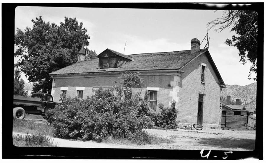
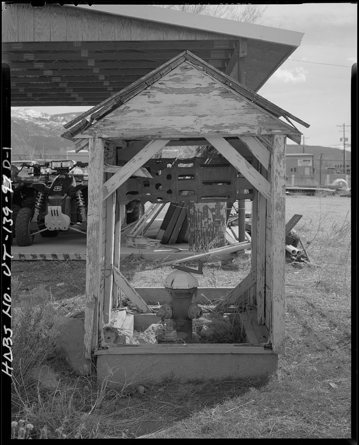
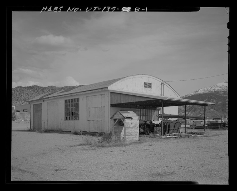
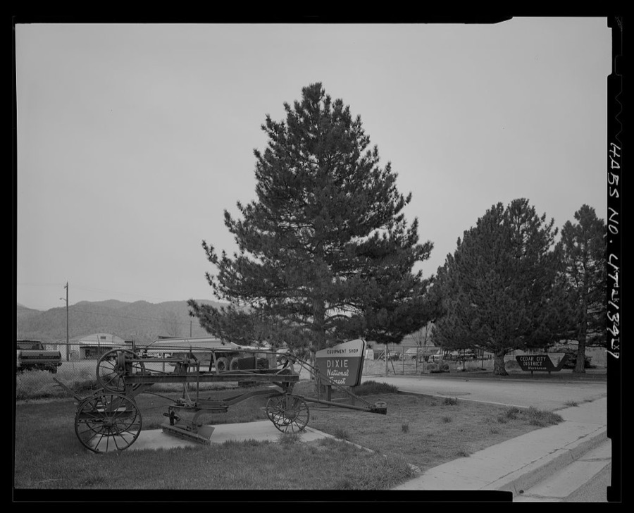
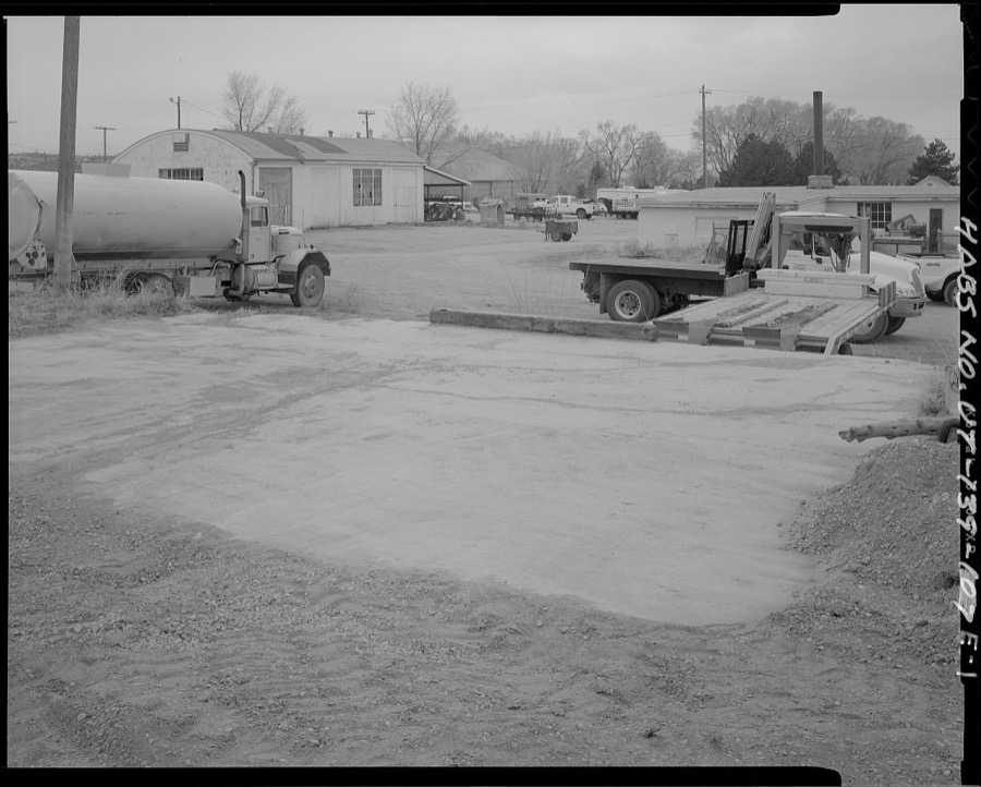
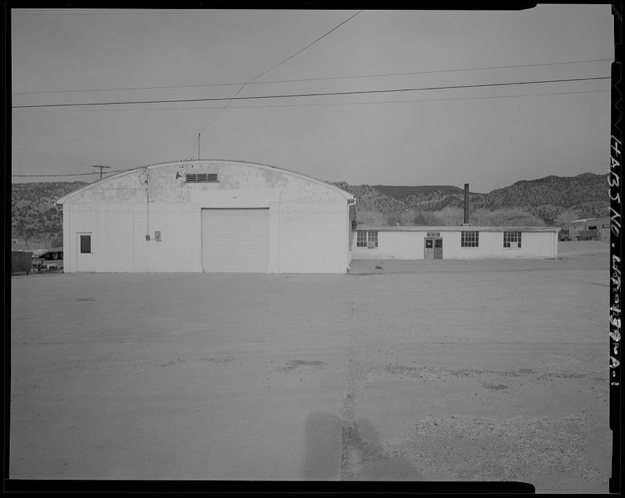
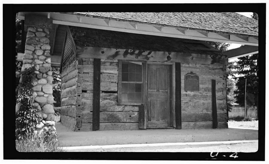
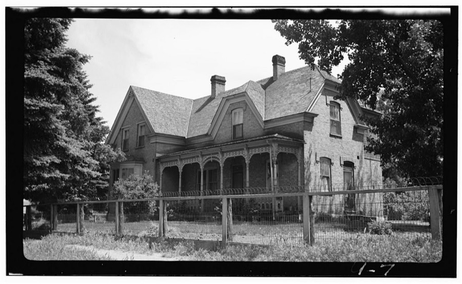
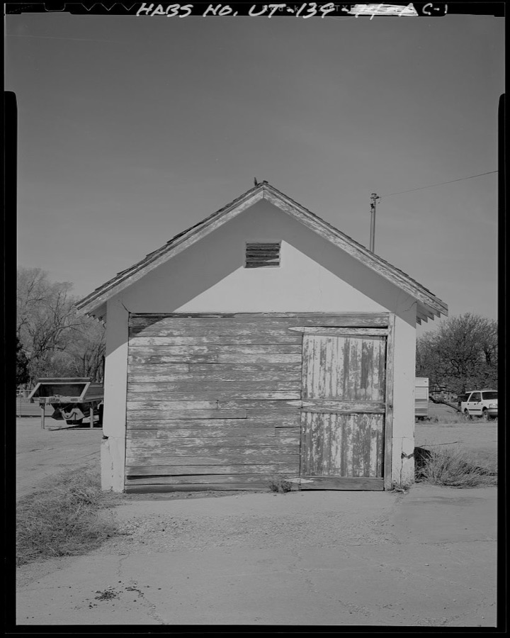
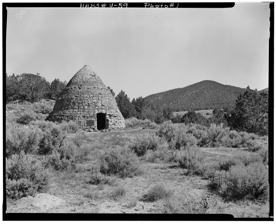
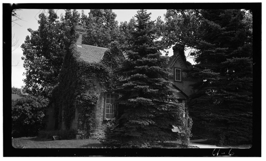
Every property in this county listed on the National Register of Historic Places, with the year it was listed and the federal nomination document.
| Photograph | Property | Type | Listed | Reference |
|---|---|---|---|---|
 | Caretaker's Cabin | building | 1983 | 83004385 |
| Cedar City Historic District | district | 2004 | 04000677 | |
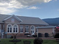 | Cedar City Railroad Depot | building | 1984 | 84002184 |
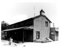 | Ensign-Smith House | building | 1983 | 83004400 |
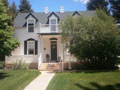 | William and Julia Lyman House | building | 2000 | 00000355 |
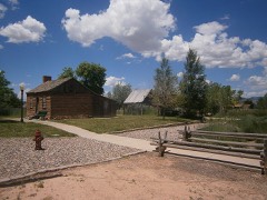 | Meeks-Green Farmstead | building | 1994 | 94000295 |
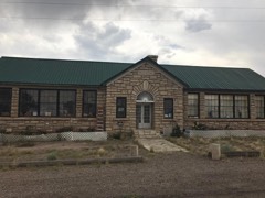 | Modena Elementary School | building | 1985 | 85000806 |
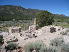 | Old Irontown | site | 1971 | 71000843 |
| Old Main and Science Buildings | building | 1984 | 84002186 | |
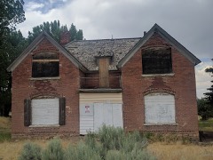 | Daniel R. and Sophia G. Page House | building | 1985 | 85000961 |
| Parowan Meetinghouse | building | 1976 | 76001818 | |
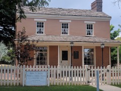 | Jesse N. Smith House | building | 1975 | 75001807 |
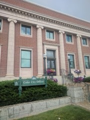 | US Post Office-Cedar City Main | building | 1989 | 89001993 |
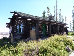 | Visitor Center | building | 1983 | 83004386 |
| George H. Wood House | building | 1978 | 78002662 |
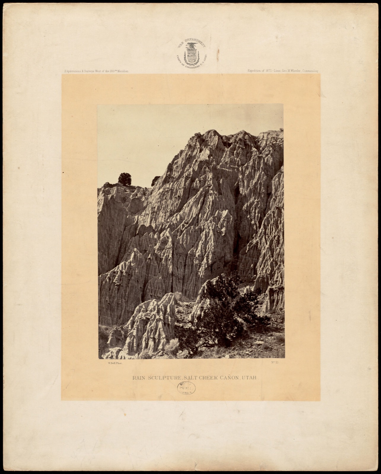
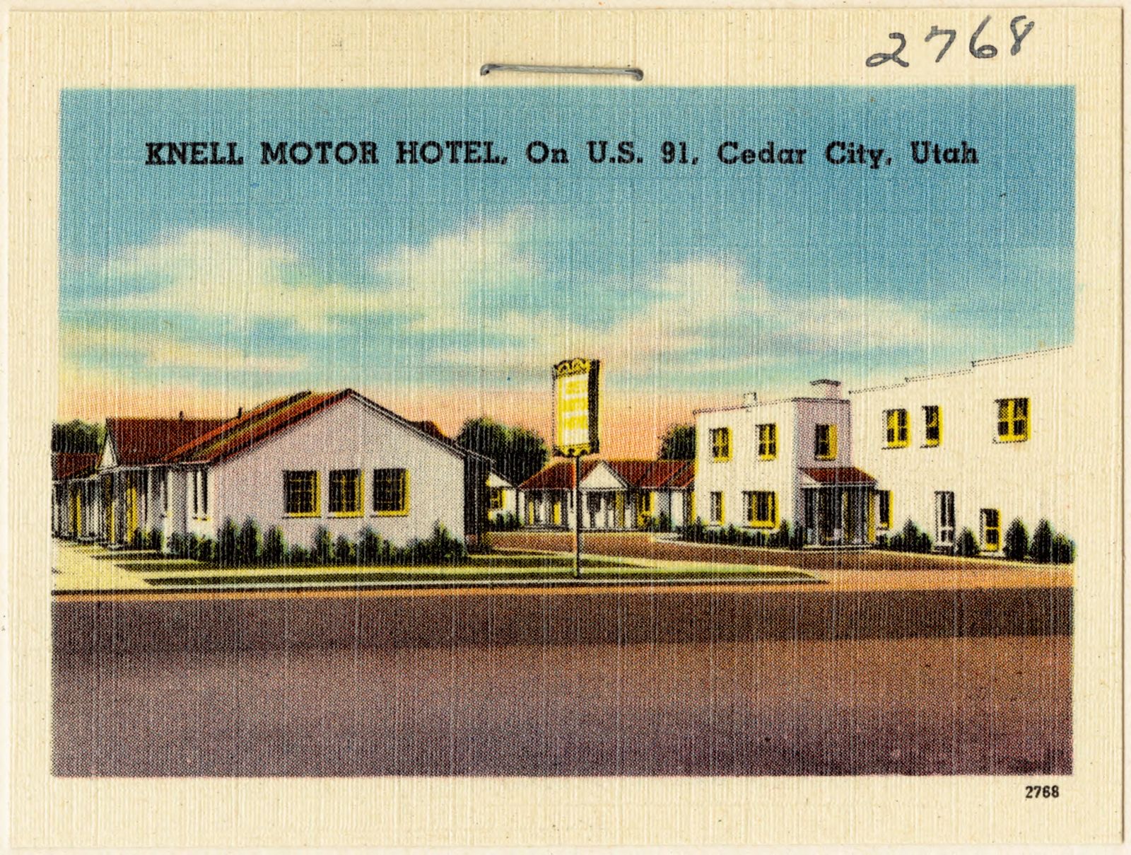
Selected from the Digital Public Library of America's 10 image records catalogued for this county. Every one shown here carries a public-domain status or a licence that permits reuse on a site that carries advertising; non-commercial, share-alike and restricted images are excluded. The selection is spread across the county's towns (at most eight per town), so no single institution's bulk upload crowds out the rest. Each opens the holding library's record, and the complete set at the Digital Public Library of America is one click away.
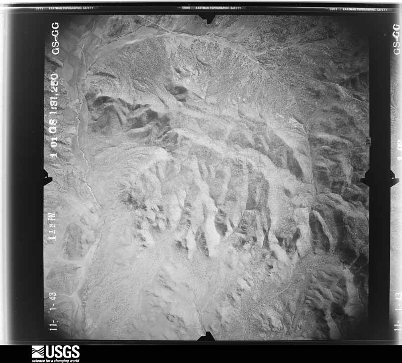
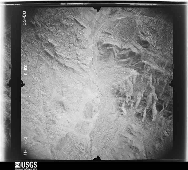
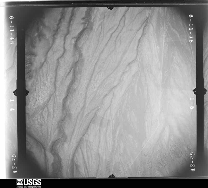
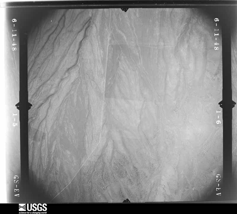
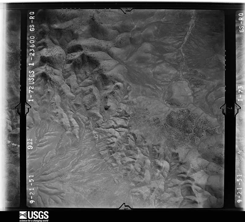
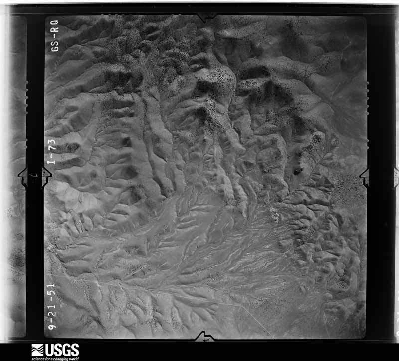
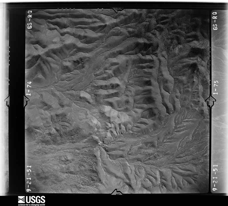
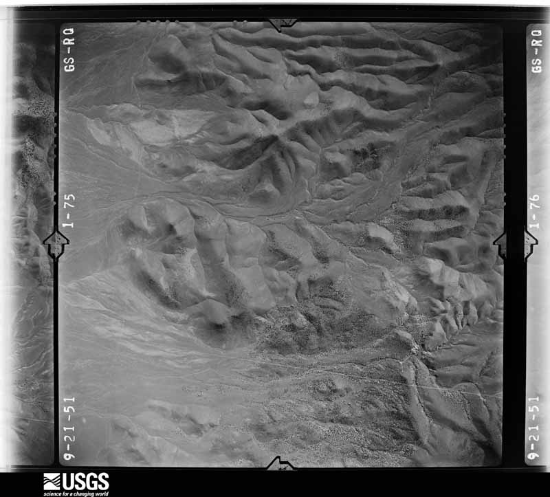
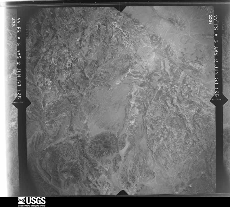
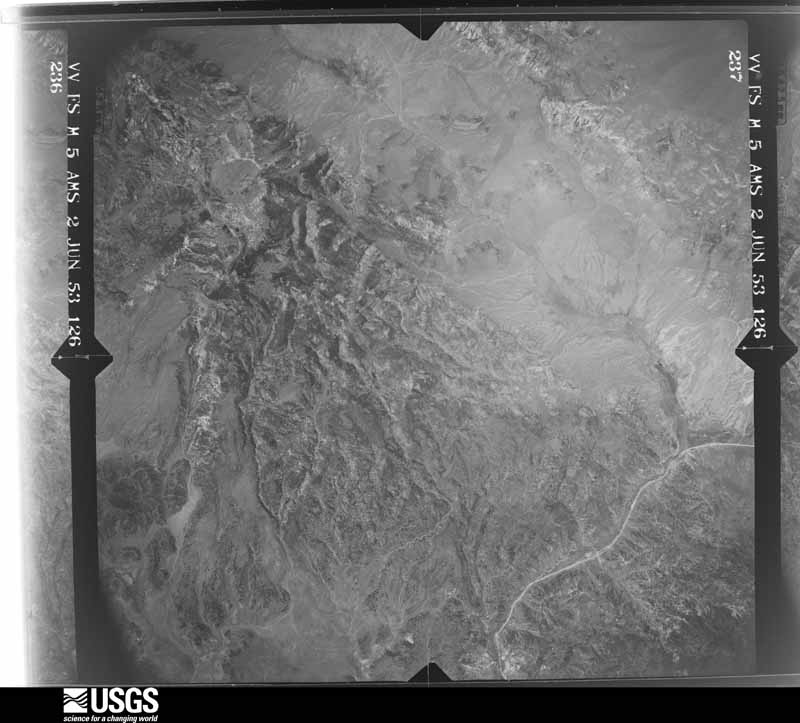
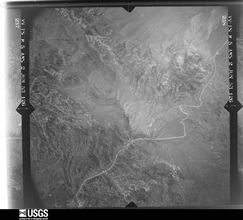
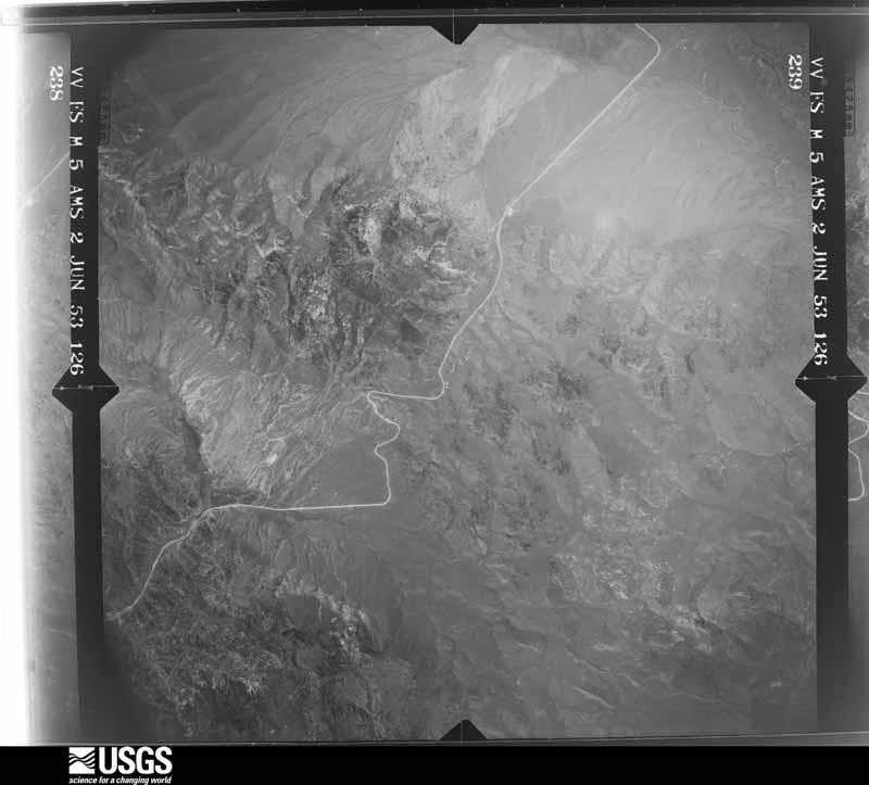
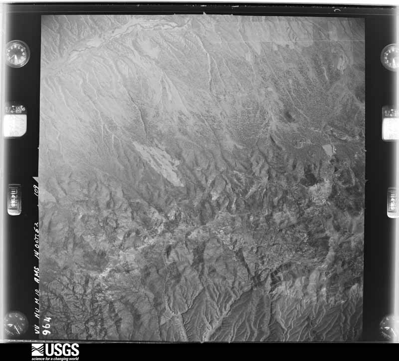
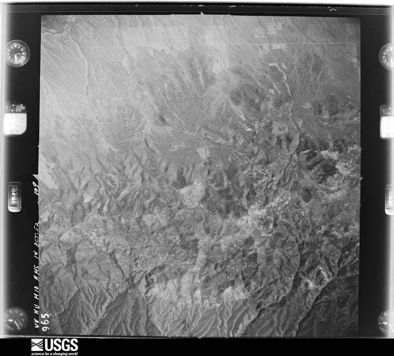
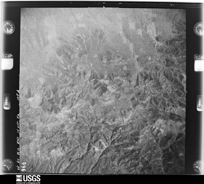
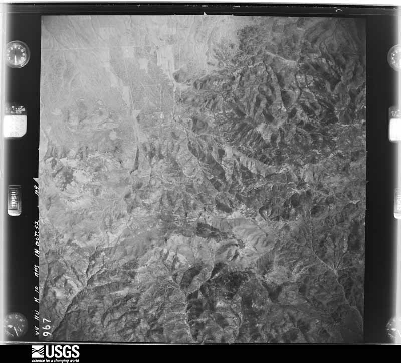
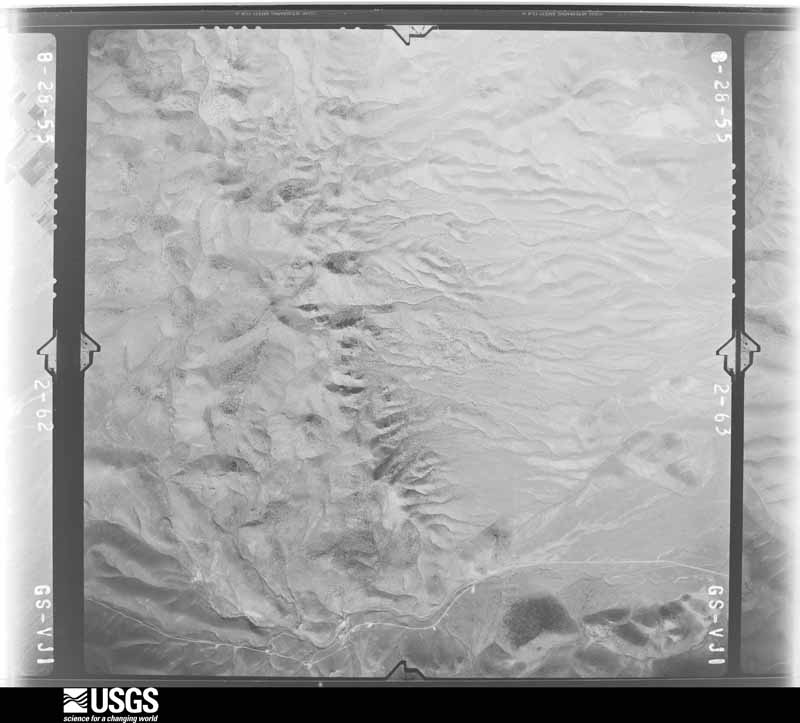
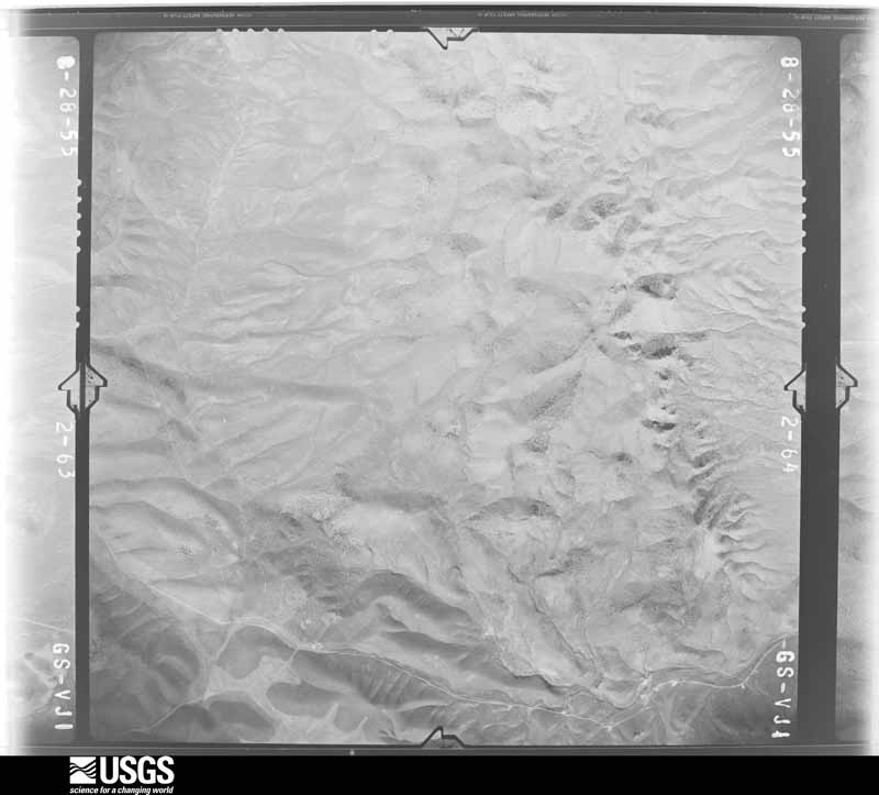
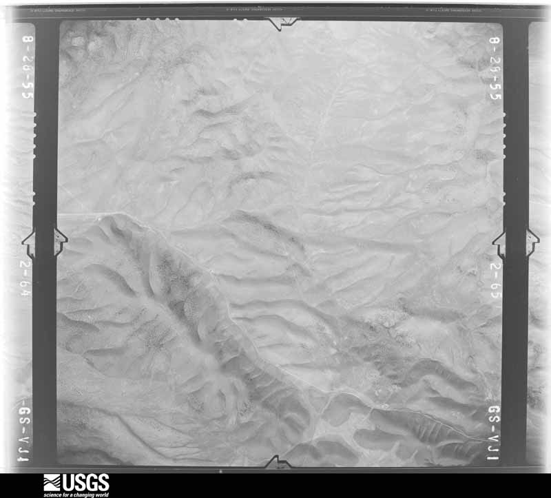
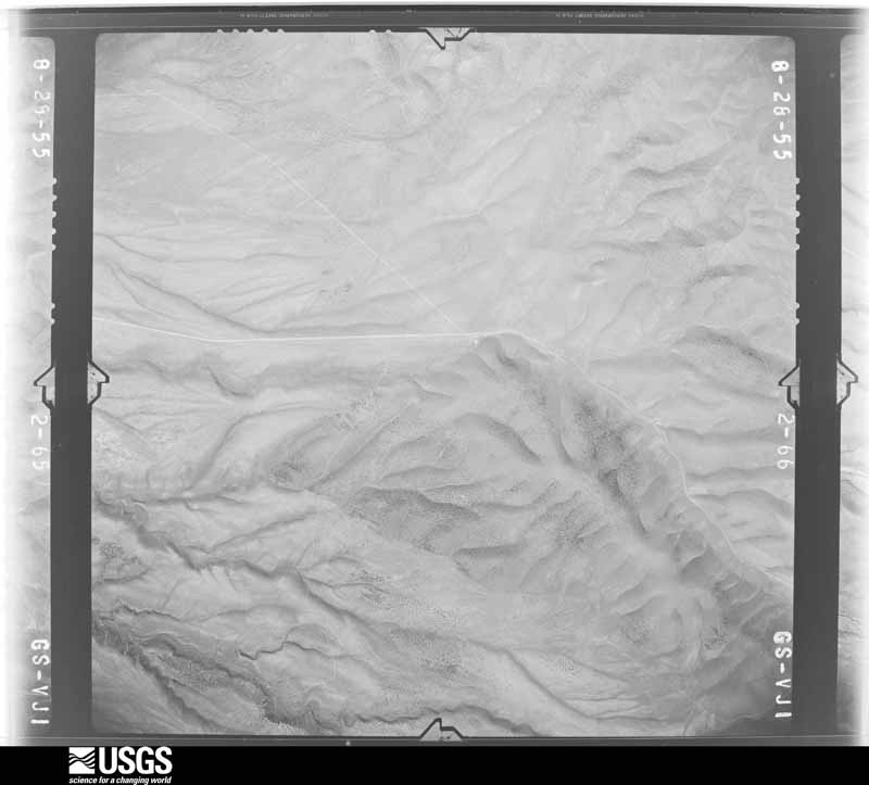
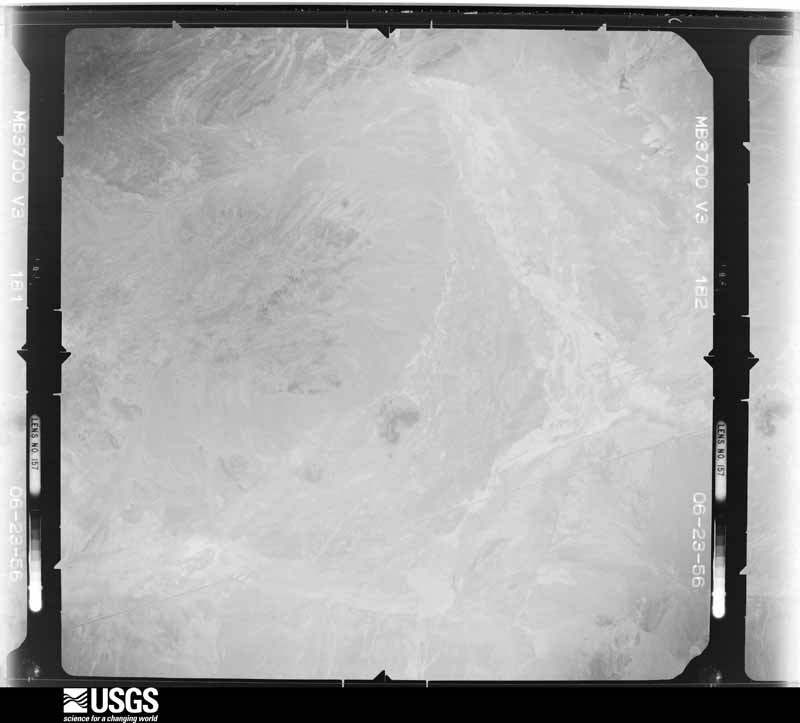
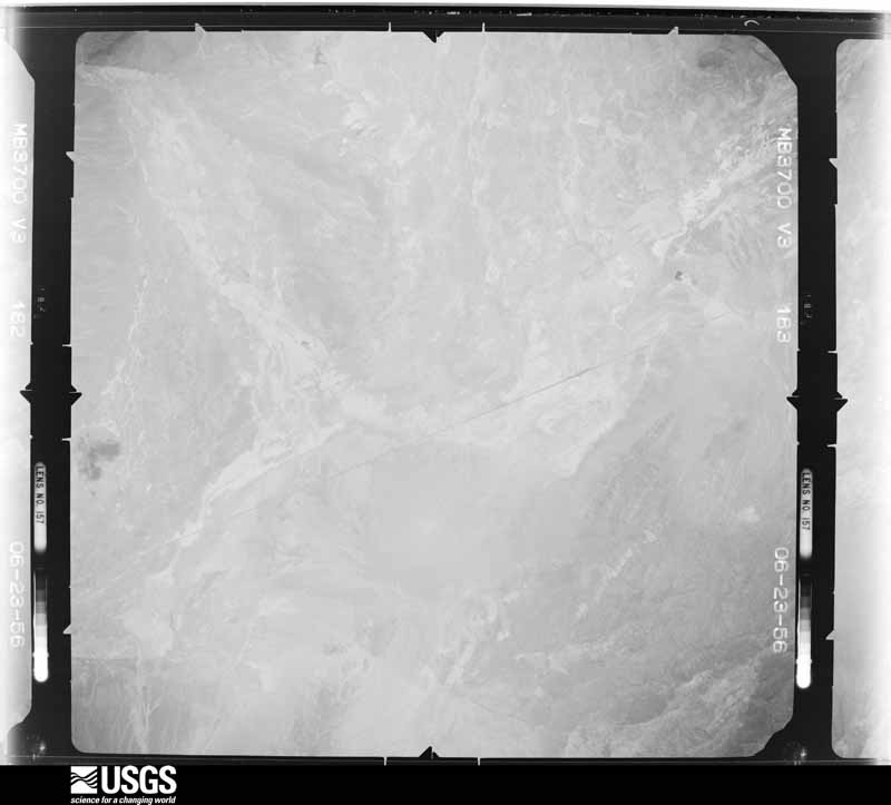
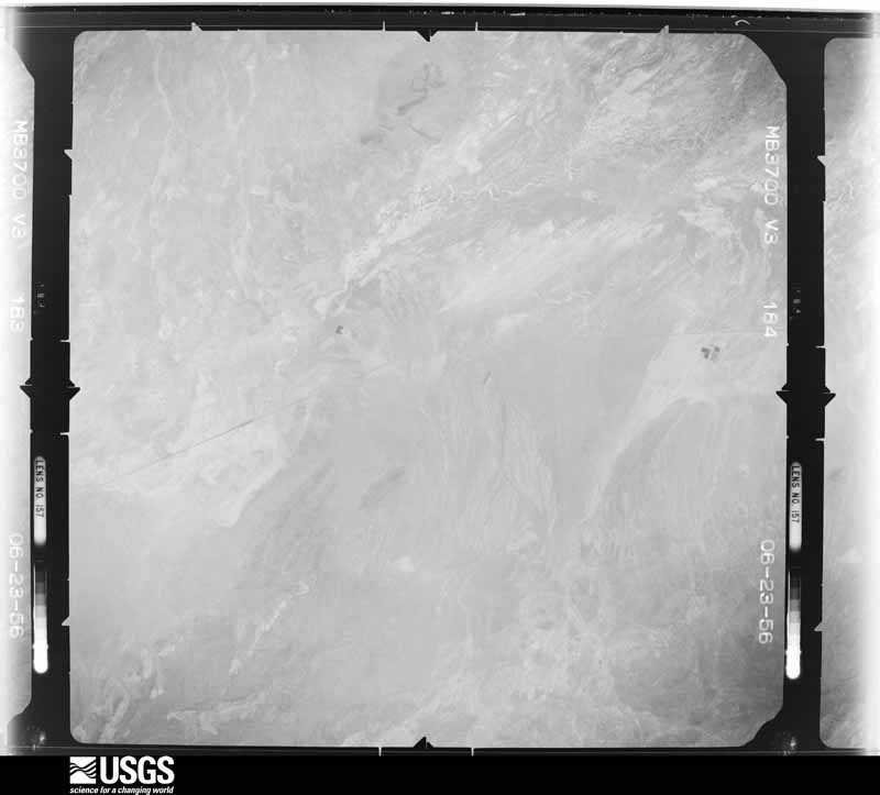
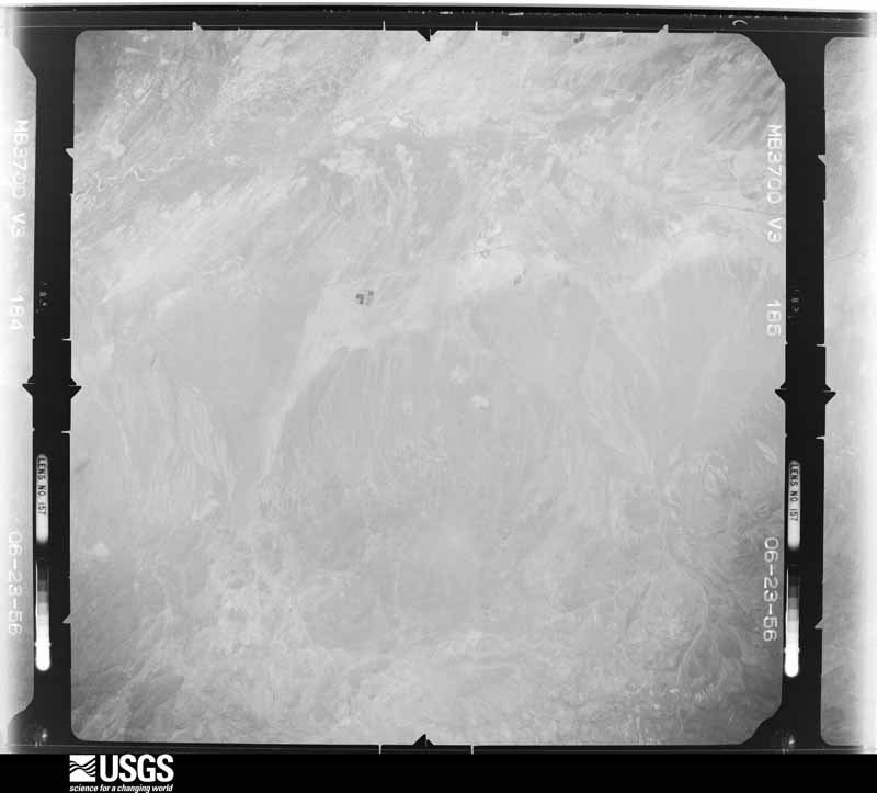
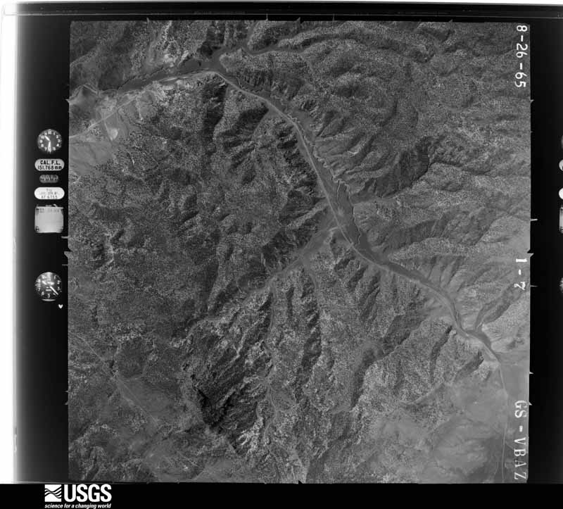
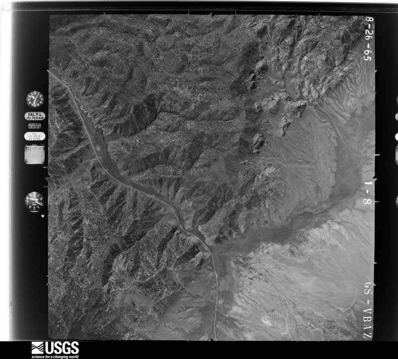
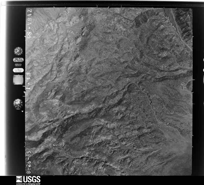
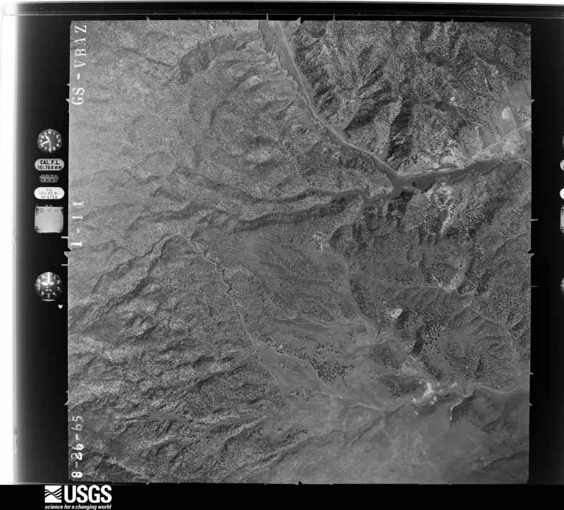
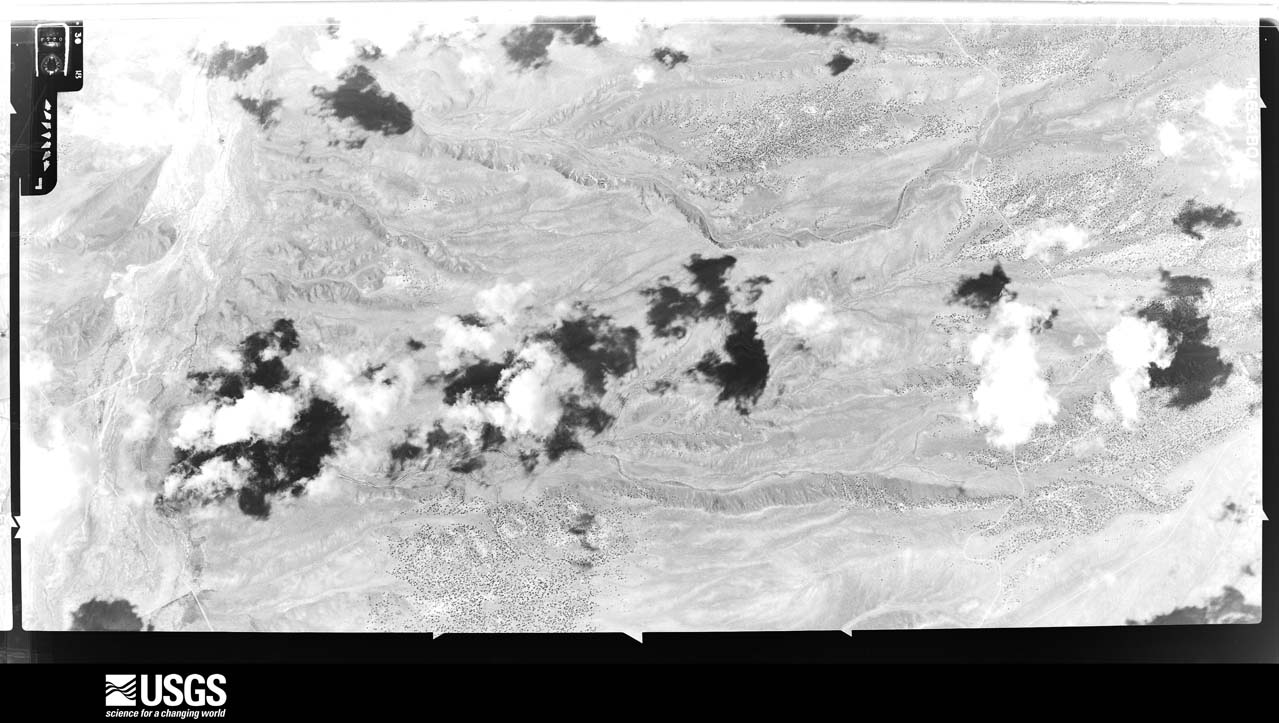
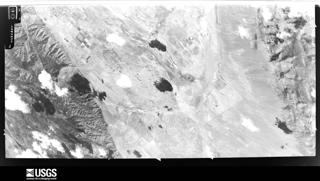
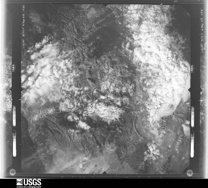
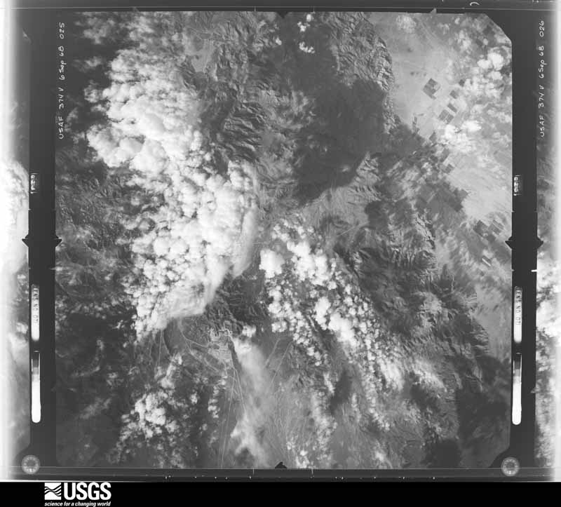
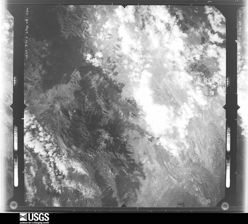
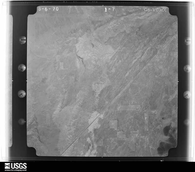
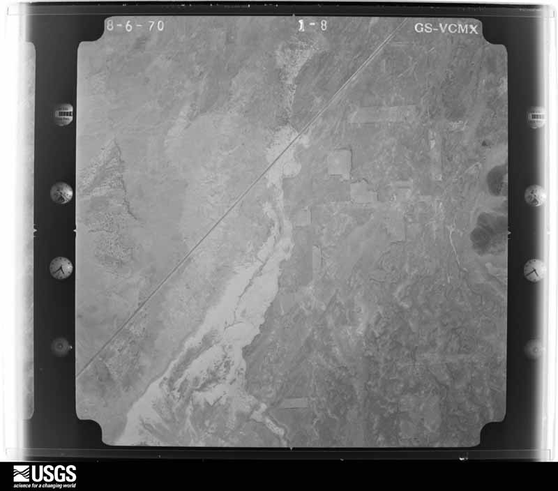
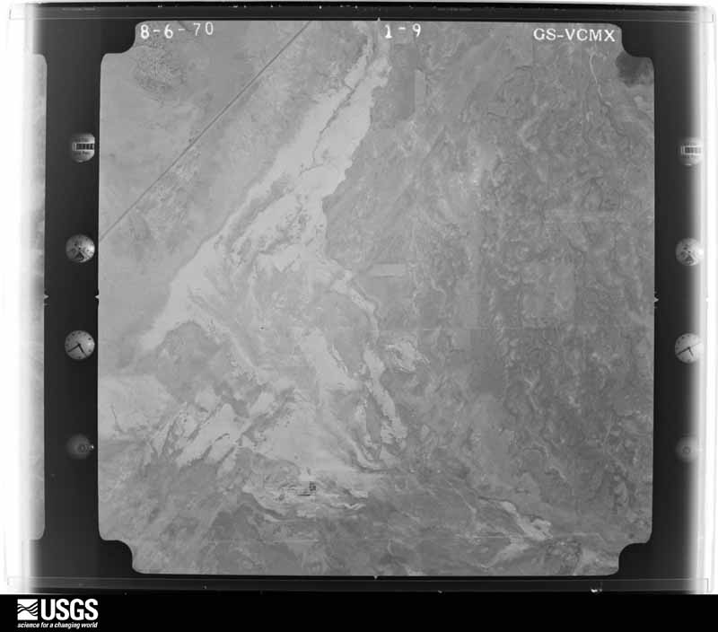
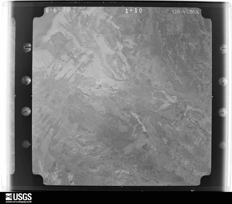
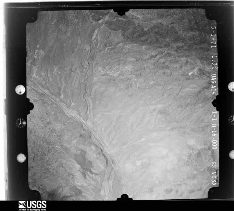
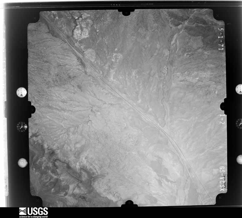
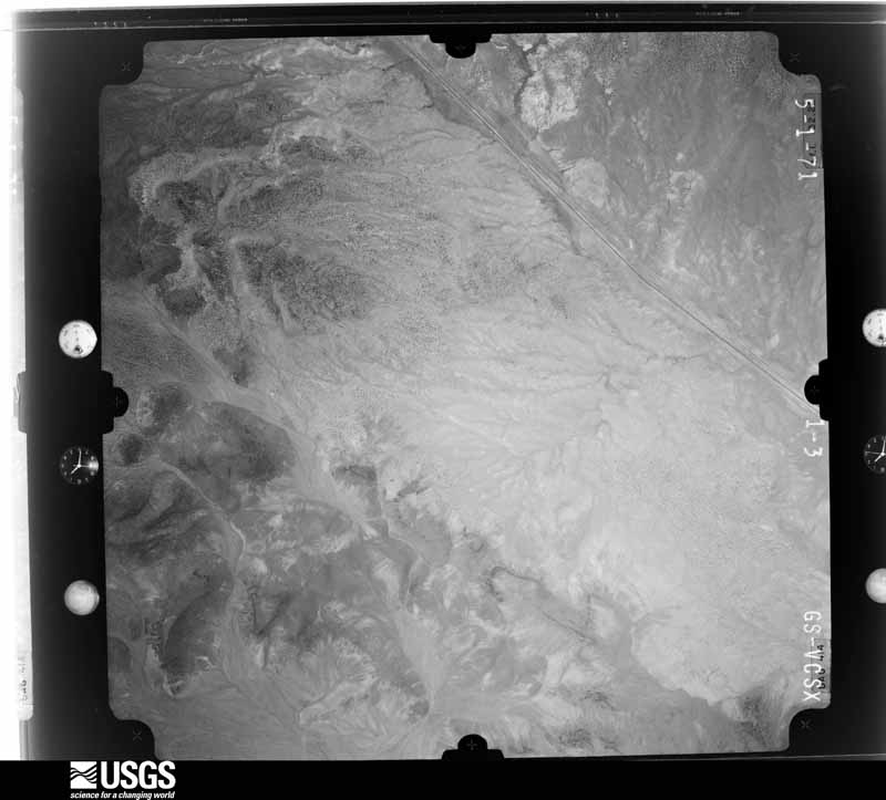
Flown by the U.S. Geological Survey between 1937 and 1989, the Aerial Photo Single Frames collection is the definitive mid-century view of the land: fields, roads and rivers as the camera saw them. The Survey holds 5,174 frames inside the rectangle that bounds this county; the 48 frames below were taken over the county itself, chosen across the decades of flights (at most four a year from that rectangle), so one flight cannot crowd out the rest. The full set is free to browse and download at EarthExplorer under the dataset Aerial Photo Single Frames.
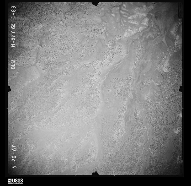
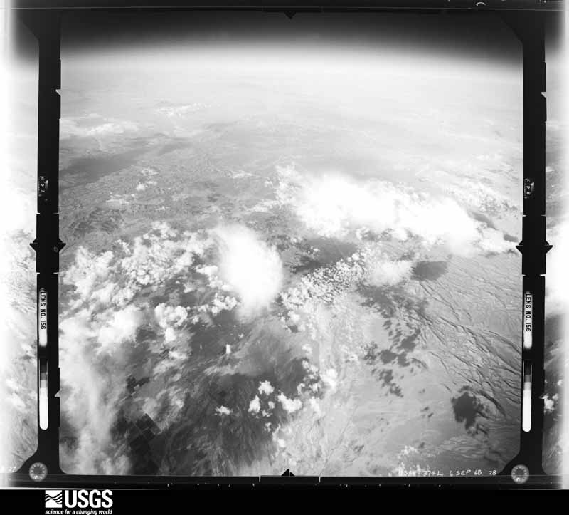
The thermometers that kept this county's weather, and the gages that measured the flow of its streams, as the federal records hold them. The extremes below are measured values from those records, not estimates.
Who lived here in 1950, one enumeration district at a time, as the Census Bureau described each district. Each row opens its official National Archives result, with Population Schedules and ED Maps available there.
Every wildfire the federal occurrence database records inside this county: 2,290 of them, burning about 191,030 acres. 1,389 started naturally and 27 were recorded as arson. Each settlement page carries the fires within five miles of it.
| Reported cause | Fires |
|---|---|
| Natural | 1389 |
| Missing data/not specified/undetermined | 439 |
| Equipment and vehicle use | 157 |
| Debris and open burning | 75 |
| Recreation and ceremony | 74 |
| Fireworks | 35 |
| Arson/incendiarism | 27 |
| Smoking | 26 |
| Power generation/transmission/distribution | 24 |
| Misuse of fire by a minor | 22 |
| Railroad operations and maintenance | 10 |
| Other causes | 9 |
| Firearms and explosives use | 3 |
The five largest, by the area the report gives. None of them was recorded as arson.
| Date | Cause | Size | Reported by | Name on the report |
|---|---|---|---|---|
| 17 June 2017 | Debris and open burning | 71,675 acres | Cedar City Field Office | BRIANHEAD |
| 12 July 2012 | Natural | 19,778 acres | Cedar City Field Office | BABOON |
| 5 September 2019 | Natural | 19,151 acres | Cedar City Field Office | NECK |
| 5 August 2011 | Natural | 8,455 acres | Cedar City Field Office | WRANGLER |
| 12 August 2006 | Natural | 7,953 acres | Cedar City Field Office | BADGER |
| 16 July 2007 | Natural | 5,797 acres | Cedar City Field Office | PARADISE |
| 28 June 2018 | Equipment and vehicle use | 5,634 acres | Cedar City Field Office | BLACK MOUNTAIN |
| 5 June 2002 | Natural | 5,283 acres | Dixie National Forest | BIG WASH |
Every settlement page carries the fires within five miles of it - see the settlement index below.
The NOAA Storm Events Database holds 111 reports for this county, causing no deaths, 3 injuries and about $14,908,530 in recorded property damage. Each settlement page carries the reports that name it.
| Kind of event | Reports |
|---|---|
| Flash Flood | 52 |
| Thunderstorm Wind | 27 |
| Hail | 21 |
| Tornado | 5 |
| Heavy Rain | 3 |
| Flood | 1 |
| Lightning | 1 |
| Debris Flow | 1 |
The most serious of them, by death, then injury, then recorded damage. The accounts are quoted exactly as the forecast office filed them.
| When | Event | Place named | Harm | What the report says |
|---|---|---|---|---|
| July 2021 | Flash Flood | Lund | 3 hurt, $1,000,000 | Flash flooding near Lund derailed a Union Pacific Railroad train, forcing 14 cars off of the tracks. Train tracks were determined to be washed out at a small bridge crossing over a normally dry wash. After the train derailed, injured train operators were trapped on top of the overturned train as flood waters continued to rise. In addition, emergency responders were washed off of the road to the crash site by the flood waters, delaying response to the injured train operators. |
| August 2021 | Flash Flood | Enoch | $9,000,000 | Widespread flash flooding occurred in Enoch and Cedar City, with up to 300 homes damaged by flood waters. Water rescues were performed, and cars were swept off the road. Interstate 15 was closed during the event. Numerous roads were eroded by floodwaters, and Fiddlers Canyon was reported underwater. |
| August 2012 | Flash Flood | Cedar City | $1,500,000 | Major flash flooding occurred in the cities of Enoch and Cedar City on the afternoon of August 17th. Enoch had the most significant damage, with 110 houses damaged by flood waters, while Cedar City mostly experienced street flooding. About 30 of those 110 houses experienced major damage, typically over $30,000 per house, while the rest had more minor damage. Flood waters and some sewage poured into many basements, as well as some ground level floors. The water broke windows and destroyed carpets, walls, and personal belongings in many of the homes. |
| August 2023 | Flash Flood | (Cdc)Cedar City Arpt | $1,000,000 | Heavy rain produced flash flooding in Cedar City, impacting the Cedar City Hospital, Iron County Jail, and homes. |
| July 2013 | Flash Flood | Cedar City | $400,000 | Significant flash flooding occurred in Cedar City and Enoch, following record rainfall. The Cedar City ASOS recorded 2.25 inches of precipitation for the day, breaking the previous one-day record precipitation for the site. In Cedar City, 30 to 40 homes, as well as one church, experienced flooding, primarily in basements. In addition, heavy rain caused the roof of the Metalcraft Technologies building to collapse, though no one was in the building at the time. In Enoch, two homes and one public works building had significant flooding resulting in damage. Despite all this property damage, no injuries were reported due to the flood waters. |
| October 2004 | Flash Flood | Cedar City | $400,000 | no account filed |
| July 2021 | Flash Flood | Parowan Arpt | $300,000 | The Iron County Emergency Manager reported six feet of water flowed over a flood control barrier in Paragonah, resulting in flash flooding in the city. Several homes were flooded. Fifty people were stranded in Red Creek Canyon east of the city. |
| July 2021 | Flash Flood | Enoch | $300,000 | The Iron County Emergency Manager reported up to 2.5 feet of water on streets in Enoch, as well as water breaching into homes. The water was deepest near Homestead Boulevard. Several homes were flooded. |
| July 2021 | Flash Flood | Enoch | $270,000 | Nine homes were damaged from flooding and debris flows due to heavy rain in the Enoch and Summit areas. |
| August 2021 | Flash Flood | Cedar City | $200,000 | Flash flooding was reported on Coal Creek. The Coal Creek near Cedar City gauge rose from 8 CFS to 1160 CFS overnight. Several homes within the Flying L Ranches subdivision outside of Cedar City were damaged by floodwaters. |
| July 2021 | Flash Flood | Parowan Arpt | $100,000 | The Iron County Emergency Manager reported flooding in Parowan. Floodwaters moved protective concrete barriers for the power plant and pushed them into the power plant building. |
| August 2017 | Flash Flood | Parowan Arpt | $50,000 | Multiple rounds of heavy rain over the Brianhead Fire burn scar produced both flash flooding and debris flows. This debris and water first inundated State Route 143, ultimately closing portions of the roadway for multiple days. A second round of rain in the early evening hours flowed into Parowan Creek and ran into the town of Parowan, with water 6-8 feet above normal stage during the event. This later flooding damaged four homes in Parowan, primarily basements. In addition, flood damage occurred along Old United States Highway 91, as well as northbound lanes of Interstate 15 between milepost 73 and Parowan. The debris field along Interstate 15 was approximately an eighth of a mile long, and forced the closure of the roadway for several hours. |
| August 2001 | Flash Flood | Cedar City | $50,000 | Portions of Cedar City got pounded with heavy rains, submerging the north freeway interchange with several inches of water and causing a multi-car accident. Streets and basements were also flooded in the Fiddler's Canyon subdivision. |
| June 2000 | Flash Flood | Cedar City | $50,000 | Slow moving thunderstorms formed over Cedar City, causing massive flash flooding. The west side of town received the worst of the flooding. Drainage systems in town were overwhelmed by the storm, as flood waters up to 4 feet deep moved through the streets. One subdivision was evacuated as a wall of water broke through windows and flooded basements. Mud and debris covered Highway 56 west of town, and some intersections were washed out. Several vehicles were also swept down city streets. Two traffic accidents were also caused by the heavy rain and flooding. Rain totals were impressive with one spotter on the west side of town reporting 2.36 inches during the storm. Miraculously, nobody was injured. |
| July 1996 | Hail | (Cdc)Cedar City Arpt | $50,000 | no account filed |
| October 2022 | Hail | (Cdc)Cedar City Arpt | $40,000 | Pictures from social media shared by broadcast media showed hail damage from Cedar City to Enoch. The largest hail was estimated to be ping pong ball-sized. |
| September 1997 | Flash Flood | Paragonah | $40,000 | no account filed |
| July 2021 | Flash Flood | Old Irontown | $30,000 | Flash flooding washed out the main access road to Old Irontown from State Route 56. Emergency managers stated the road was closed until repaired. |
| August 2021 | Flash Flood | Kanarraville | $30,000 | A dike collapse due to heavy rainfall led to a large amount of debris across Old U.S. Highway 91, with the road being closed. |
| August 2003 | Flash Flood | Parowan | $25,000 | There was major flash flooding in the town of Parowan. Despite sandbagging efforts, 26 homes were flooded with 6 homes sustaining an estimated $25,000 dollars in damage. People were also stranded for a time in Yankee Meadow, and State Route 143 was closed due to mud and rock slides. |
| July 2017 | Flash Flood | Parowan Arpt | $20,000 | Heavy rain over the Brianhead Fire burn scar caused widespread flash flooding and debris flows. On the south side of the burn near Panguitch Lake, multiple roads were washed out along Clear Creek. On the north end of the burn scar, flooded roads were reported both east and west of the ridgeline. |
| July 2024 | Flash Flood | Kanarraville | $10,000 | A strong thunderstorm resulted in flash flooding in and around Kanarraville. One house received flood damage from water, mud, and debris per Iron County Emergency Management. |
| September 2013 | Flash Flood | Parowan | $10,000 | Heavy rains caused flash flooding and a rockslide along State Route 143 between Parowan and Brian Head, with large boulders over the road. |
| August 2007 | Flash Flood | Heist | $10,000 | Flash flooding occurred in Hamlin Valley near Modena. A number of all-terrain vehicles were lost, and many dirt roads were washed out. |
| October 2015 | Lightning | Minersville | $8,000 | Lightning struck a home in Cedar City and started a fire in one corner of the house. Firefighters were able to put out the fire relatively quickly, but not before the residence sustained approximately $8,000 worth of damage. |
| July 2004 | Flash Flood | West Central Portion | $5,000 | no account filed |
| July 2022 | Debris Flow | Summit | $3,500 | Thunderstorms produced heavy rainfall north of Brian Head, with 3-hour Multi-Radar/Multi-Sensor rainfall estimates of around 1 to 2.5 inches. This resulted in debris flows over state Route 143 between mileposts 11 and 13, and closure of the road. Additional reports from the public and media reported debris was up to 7 feet deep in spots. |
| August 2021 | Flash Flood | Kanarraville | $2,000 | Flash flooding carried debris across Old U.S. Highway 91 through Kanarraville. |
| September 1998 | Flood | Cedar City | $2,000 | no account filed |
| September 1997 | Heavy Rain | Enterprise Arpt | $2,000 | no account filed |
| July 2003 | Flash Flood | Modena | $1,000 | The town of Modena reported heavy rain with small hail and localized street flooding. The storm dumped 1.30 inches of rain in less than 30 minutes, and the wind and hail broke some windows. |
| May 1986 | Tornado (F1) | not stated | $30 | no account filed |
| April 2025 | Tornado (EF0) | (Cdc)Cedar City Arpt | - | LANDSPOUT. Location: 37.73, -113.07. Pictures from social media indicated a landspout tornado just west of I-15 between Cedar City and Enoch. Time and location are approximate. |
| July 2025 | Flash Flood | Kanarraville | - | High water in Kanarra Falls required several hikers to be rescued. Time is estimated based on radar. |
| July 2025 | Thunderstorm Wind | Newcastle | - | The Urie hollow mesonet station recorded a wind gust of 60 mph as a result of outflow winds associated with a nearby cluster of showers and thunderstorms moving through the area. |
| July 2025 | Thunderstorm Wind | Enoch | - | The I-15 at MP 62.5 North Cedar City mesonet station recorded a wind gust of 75 mph as a result of outflow winds associated with a dry microburst from a low-reflectivity shower moving over the site. |
| September 2025 | Thunderstorm Wind | (Cdc)Cedar City Arpt | - | The Cedar City Municipal Airport ASOS (KCDC) recorded a wind gust of 58 mph as a result of outflow winds associated with a nearby cluster of showers and thunderstorms moving through the area. |
| September 2025 | Thunderstorm Wind | (Cdc)Cedar City Arpt | - | The Cedar City Municipal Airport ASOS (KCDC) recorded a wind gust of 59 mph as a result of outflow winds associated with a nearby cluster of showers and thunderstorms moving through the area. |
| September 2025 | Thunderstorm Wind | Summit | - | The Black Rock mesonet station recorded a wind gust of 63 mph as a result of outflow winds associated with a nearby cluster of showers and thunderstorms moving through the area. |
| September 2025 | Thunderstorm Wind | Lund | - | The LATMER mesonet station recorded a wind gust of 65 mph as a result of outflow winds associated with a nearby cluster of showers and thunderstorms moving through the area. |
| August 2024 | Thunderstorm Wind | Hamiltons Ft | - | A wind gust of 58 mph was recorded at the I-15 at MP 54 Hamiltons Fort mesonet site. |
| June 2023 | Hail | Beryl Jct | - | Photos from the fire chief showed accumulating hail of different sizes. |
| June 2023 | Hail | Kanarraville | - | A multi-vehicle accident was reported with accumulating hail on the interstate. Accumulating hail was reported on other roads near there. |
| May 2023 | Thunderstorm Wind | Cedar City | - | The Cedar City Regional Airport ASOS recorded a wind gust of 62 mph as a result of outflow winds associated with a nearby cluster of showers and thunderstorms moving through the area. |
| August 2023 | Flash Flood | Cedar City | - | There were reports of flooding at a campground in Cedar Canyon. The Cedar Canyon stream gauge reported a significant rise. |
| August 2023 | Thunderstorm Wind | (Cdc)Cedar City Arpt | - | ASOS station KCDC at Cedar City Municipal Airport recorded a wind gust of 61 mph. |
| August 2023 | Thunderstorm Wind | Kanarraville | - | Mesonet station UTBLK at I-15 at Black Ridge recorded a wind gust of 60 mph. |
| August 2023 | Thunderstorm Wind | (Cdc)Cedar City Arpt | - | A wind gust of 65 mph was recorded at a New Harmony mesonet site. |
| August 2022 | Hail | Enterprise Arpt | - | Ping pong ball-sized hail fell in Beryl. Location and time are estimated by radar. |
| July 2021 | Hail | Enoch | - | Quarter-sized was reported via social media. |
| July 2021 | Flash Flood | Hamiltons Ft | - | Water flowed across many roadways in Cedar City, including across Interstate 15 near milepost 59. |
| July 2021 | Flash Flood | Cedar City | - | Urban flash flooding was reported in Cedar City. A video received via social media showing water flowing down streets near the Ashdown Subdivision. |
| July 2021 | Heavy Rain | Enoch | - | Social media reports indicated urban flash flooding in Enoch. Radar estimates indicated in excess of 2 inches of rain. |
| July 2021 | Flash Flood | Enterprise Arpt | - | Flash flooding occurred in a tributary of Shoal Creek. An abandoned pickup truck was observed submerged in the water. |
| July 2021 | Flash Flood | Parowan Arpt | - | Video received showed deep and swift moving water flowing westward down Center Street and 700 E in Paragonah. Flows originated from Red Creek, which empties into Paragonah from the east. Radar estimated up to 2.15 inches of rain upstream over the Red Creek drainage. |
| July 2021 | Thunderstorm Wind | (Cdc)Cedar City Arpt | - | The Interstate 15 at Milepost 62.5 automated weather station recorded a wind gust of 61 mph. |
| August 2021 | Hail | Enoch | - | Penny-sized hail was reported. |
| August 2021 | Hail | Enoch | - | Quarter-sized hail was reported via social media. |
| July 2018 | Flash Flood | Parowan | - | The Utah Department of Transportation reported a debris flow after heavy rain fell over the Brianhead Fire burn scar. The flood waters temporarily closed State Route 143. |
| July 2018 | Flash Flood | Parowan | - | Heavy rain on the Brianhead Fire burn scar produced two debris flows that temporarily closed State Route 143. |
The Survey's mineral resources record lists 619 workings inside this county. 82 still produce and 537 are closed or unrecorded. Each settlement page carries the workings within five miles of it.
| Commodity | Workings |
|---|---|
| Sand and Gravel, Construction | 202 |
| Iron | 157 |
| Gold, Silver | 57 |
| Copper | 28 |
| Silver, Gold | 26 |
| Uranium | 17 |
| Gold | 16 |
| Manganese | 13 |
| Silver | 12 |
| Copper, Silver | 11 |
| Silver, Copper | 11 |
| Stone, Dimension | 8 |
| Gypsum-Anhydrite | 7 |
| Gemstone | 6 |
The least common of them first, because a county's hundredth gravel pit says nothing its first ten did not.
| Where | Site | Commodity | Status | Recorded |
|---|---|---|---|---|
| Blackbird Ore Body | Iron, Phosphorus-Phosphates | Occurrence | Apatite, Magnetite | |
| Blowout Mine | Lead, Iron, Copper | Past Producer | ||
| Bullion | Copper, Silver, Lead | Past Producer | Vein | |
| Bullion | Silver, Lead, Copper | Past Producer | ||
| Calumet District | Zinc, Gold, Copper, Silver, Lead | Occurrence | ||
| Cinder Hill Cinder Pit | Pumice | Past Producer | ||
| Desert Mound | Iron, Copper, Mercury | Past Producer | 1926 | |
| Earth Sciences Pine Valley Deposit | Aluminum, Potassium | Occurrence | 1970 | |
| Escalante | Silver, Lead, Zinc, Copper | Past Producer | Vein | |
| Escalante | Silver, Zinc, Lead, Copper | Past Producer | 1893, 1982 | |
| Escalante Mine | Lead, Zinc, Copper, Vanadium | Occurrence | ||
| Escalante Silver Mine | Silver, Lead, Zinc, Copper, Gold | Producer | 1896, 1934 | |
| Francis 1 & 2 | Lead, Zinc, Copper, Silver | Occurrence | Vein | |
| Francis 1 and 2 | Lead, Copper, Zinc, Silver | Occurrence | ||
| Gallium | Gallium | Occurrence | ||
| Gold Springs District | Silver, Gold, Lead, Copper | Past Producer | 1897 | |
| Iron Springs District | Iron, Manganese, Copper, Lead | Producer | 1849, 1874 | |
| New Arrowhead Mine | Zinc, Silver, Lead | Past Producer | Underground | |
| P-V Property | Sulfur, Potassium, Aluminum | Prospect | 1970 | |
| Pinto Mine | Iron, Lead | Past Producer | 1942 | |
| Pinto Mine | Lead, Iron | Past Producer | ||
| Quarry | Flagstone | Past Producer | ||
| Radio Towers Prospect | Clay | Occurrence | Kaolinite, Montmorillonite | |
| Skougard | Silver, Lead, Zinc | Producer | Galena, Pyrolusite, Tetrahedrite | |
| Skougard | Zinc, Lead, Silver | Occurrence | Replacement Vein | |
| Skougard Mine | Lead, Silver, Zinc | Prospect | Underground | |
| Spotted Rock #1-5 | Stone | Past Producer | Replacement | |
| Stateline (Gold Springs) District | Lead, Silver, Gold, Mercury, Molybdenum | Prospect | 1896 | |
| Stateline District | Gold, Silver, Copper, Lead, Mercury, Tellurium, Manganese, Molybdenum | Past Producer | 1896 | |
| The Cina Mine | Mercury, Sulfur | Producer | ||
| Tripoli | Diatomite | Occurrence | Tripoli | |
| Uncle Bim | Magnesite | Occurrence | ||
| Unknown | Manganese, Bentonite | Past Producer | ||
| Unknown Clay Deposit | Bentonite, Manganese | Past Producer | Replacement | |
| Utah Shamrock Quarries | Limestone, General | Occurrence | ||
| Utah Shamrock Quarries | Stone, Crushed/Broken | Producer | ||
| Bright Angel and Holt Claims | Silver, Gold, Copper | Occurrence | Cerargyrite, Chrysocolla, Malachite | |
| Chloride Canyon | Lead, Zinc, Silver | Occurrence | ||
| Cina-Mine | Mercury, Sulfur | Occurrence | Cinnabar | |
| Cinder Hill Cinder Pit | Volcanic Materials | Past Producer | ||
| New Arrowhead Claims | Lead, Zinc | Producer | Contact Metamorphic | |
| New Arrowhead Mine | Lead, Zinc, Silver, Gold, Copper, Fluorine-Fluorite | Past Producer | 1940, 1941 | |
| The Cina Mine | Sulfur, Mercury | Producer | Cinnabar, Sulfur | |
| The Cina Mine | Sulfur, Mercury | Producer | Cinnabar, Sulfur | |
| Unknown | Volcanic Materials | Occurrence | Obsidian | |
| Unknown | Silver, Gold, Copper | Occurrence | Vein | |
| Unknown | Silver, Gold, Copper | Occurrence | ||
| Unnamed Prospect | Mercury, Sulfur | Occurrence | ||
| Blowout Mine | Iron, Copper, Lead | Past Producer | 1945, 1947 | |
| Homestake Mine | Mercury | Occurrence | Mercury | |
| Jennie Mine | Gold, Silver, Copper, Lead | Past Producer | Vein | |
| Prospect West of Black Canyon | Kaolin | Occurrence | Replacement | |
| Quarry | Limestone, Dimension | Past Producer | ||
| Quarry | Limestone, Dimension | Past Producer | ||
| True Value | Kaolin | Occurrence | ||
| True Value and True Value #1 | Kaolin | Occurrence | Replacement | |
| Unknown Prospect | Fluorine-Fluorite | Past Producer | ||
| Unknown Prospect | Fluorine-Fluorite | Past Producer | ||
| West Swale Quarry | Limestone, Dimension | Past Producer | ||
| Modena Alunite Vein | Aluminum | Occurrence | Vein | |
| Red Bird #1-8 | Aluminum | Occurrence | Replacement | |
| Red Bird No 1-8 | Aluminum | Occurrence | ||
| Braffit Ridge Silica | Silica | Past Producer | Sand | |
| Braffit Ridge Silica | Silica | Past Producer | ||
| Grand Castle Prospect | Silica | Past Producer | Surface | |
| Grand Castle Prospect | Silica | Past Producer | ||
| White Sands Nos 4 - 22 , and 35 - 37 | Silica | Producer | Placer | |
| Geode Deposit | Gemstone | Occurrence | Geodes | |
| Geode Deposit | Gemstone | Occurrence | ||
| Prohibiton Flat-3 | Gemstone | Occurrence | ||
| Unknown | Gemstone | Occurrence | Vein | |
| Unknown | Gemstone | Occurrence | Vein | |
| Unknown | Gemstone | Occurrence | ||
| Coal Creek Canyon Gypsum Deposit | Gypsum-Anhydrite | Past Producer | 1923 | |
| Coal Creek Canyon Gypsum Deposit | Gypsum-Anhydrite | Past Producer | ||
| Mammoth Plaster & Cement Co. Quarry | Gypsum-Anhydrite | Occurrence | ||
| Shurtz Canyon Gypsum | Gypsum-Anhydrite | Occurrence | Sedimentary | |
| Shurtz Canyon Gypsum | Gypsum-Anhydrite | Occurrence | Sedimentary | |
| Shurtz Canyon Gypsum | Gypsum-Anhydrite | Occurrence | ||
| Unknown | Gypsum-Anhydrite | Occurrence | ||
| Flin Quarry | Stone, Dimension | Past Producer | Sedimentary | |
| Flin Quarry | Stone, Dimension | Past Producer | ||
| Quarry | Stone, Dimension | Past Producer | Sedimentary | |
| Quarry | Stone, Dimension | Past Producer | Surface | |
| Quarry | Stone, Dimension | Past Producer | Tuff | |
| Spotted Rock No 1-5 | Stone, Dimension | Past Producer | ||
| Unknown | Stone, Dimension | Occurrence | ||
| West Swale Quarry | Stone, Dimension | Past Producer | Surface | |
| A-B No.2 | Silver, Copper | Occurrence | ||
| Enterprise Or Holt Silver Mines | Copper, Silver | Producer | Argentite, Cerargyrite, Galena | |
| Highland Group | Copper, Silver | Occurrence | Vein | |
| Highland Group | Copper, Silver | Occurrence | ||
| Jay John & Western Group | Copper, Silver | Occurrence | Vein | |
| Jay John and Western Group | Copper, Silver | Prospect | ||
| Lucky Chance | Copper, Silver | Occurrence | Vein | |
| Lucky Chance | Silver, Copper | Prospect | ||
| Tip Top 1-7 | Silver, Copper | Occurrence | ||
| Tip Top, 1-7 | Copper, Silver | Occurrence | Vein | |
| Unknown | Copper, Silver | Occurrence | Vein | |
| Unknown | Silver, Copper | Occurrence | Vein | |
| Unknown | Copper, Silver | Past Producer | Chrysocolla, Malachite | |
| Unknown | Copper, Silver | Occurrence | Vein | |
| Unknown | Silver, Copper | Occurrence | Vein | |
| Unknown | Silver, Copper | Occurrence | ||
| Unknown | Silver, Copper | Occurrence | ||
| Unknown | Copper, Silver | Occurrence | ||
| Unknown | Silver, Copper | Occurrence | ||
| Unknown | Silver, Copper | Occurrence | ||
| Unknown | Silver, Copper | Prospect | ||
| Unknown | Silver, Copper | Prospect | ||
| A-B #2 | Copper, Silver | Occurrence | Vein | |
| Gold Dome | Gold, Silver | Occurrence | ||
| Ofer | Silver | Producer | ||
| Royal | Silver | Producer | ||
| Snow Group | Gold, Silver | Past Producer | ||
| Unknown | Copper, Silver | Occurrence | Vein | |
| Unknown | Copper, Silver | Occurrence | Vein | |
| Ut Dept Hwys Gravel Pit No 11069 | Silver | Past Producer | ||
| Black Hawk | Manganese | Occurrence | ||
| Black Hawk and Joe Louis Claims | Manganese | Prospect | 1952 | |
| Black Jack Claims | Manganese | Occurrence | ||
| Black Joe #1 & #2 | Manganese | Occurrence | ||
| Clove Prospect | Manganese | Occurrence | Vein | |
| Giant A | Manganese | Occurrence | Vein | |
| Lucky Joe Claim | Manganese | Occurrence | ||
| Taylor Property | Manganese | Occurrence | Vein | |
| Unknown | Manganese | Occurrence | ||
| Unknown Manganese Prospect | Manganese | Occurrence | Vein | |
| Unknown Manganese Prospect | Manganese | Occurrence | Vein | |
| Unknown Manganese Prospect | Manganese | Occurrence | ||
| Al Smith | Gold | Producer | ||
| Badger | Gold | Producer | ||
| Beaver | Gold | Producer | ||
| Blue Rock | Gold | Producer | ||
| Center | Gold | Producer | ||
| Cougar | Gold | Producer | ||
| Exchange | Gold | Producer | ||
| Gold Hill | Gold | Producer | ||
| Mona | Gold | Producer | ||
| Pipedream | Gold | Producer | ||
| Raindrop | Gold | Producer | ||
| Steele | Gold | Producer | ||
| Winner | Gold | Producer | ||
| Wonder | Gold | Producer | ||
| B & D #1 | Uranium | Occurrence | ||
| Desert View Mine | Uranium | Producer | ||
| Dollie Group #1-115 | Uranium | Occurrence | Replacement | |
| Dollie Group #1-115 | Uranium | Occurrence | Replacement | |
| Dollie Group No 1-115 | Uranium | Occurrence | ||
| Epsolon | Uranium | Occurrence | ||
| Golden West | Uranium | Occurrence | ||
| Luk Group | Uranium | Occurrence | Replacement | |
| Luk Group | Uranium | Occurrence | ||
| Ox Group | Uranium | Occurrence | Replacement | |
| Ox Group | Uranium | Occurrence | Replacement | |
| Ox Group | Uranium | Occurrence | ||
| Purple Promise #2, 5 & 10 Prospects | Uranium | Occurrence | Replacement | |
| Purple Promise No 2 5 and 10 | Uranium | Occurrence | ||
| Rim Claims | Uranium | Occurrence | ||
| Unknown | Uranium | Occurrence | Replacement | |
| Unknown | Uranium | Occurrence | ||
| Aetna | Silver, Gold | Past Producer | ||
| Aetna Adit | Silver, Gold | Occurrence | ||
| Big 14 | Silver, Gold | Past Producer | ||
| Burro | Silver, Gold | Past Producer | ||
| Burro Mine | Silver, Gold | Producer | Vein | |
| Creole | Silver, Gold | Past Producer | ||
| E-1 | Silver, Gold | Occurrence | ||
| E-2 | Silver, Gold | Occurrence | Vein | |
| Hope | Silver, Gold | Occurrence | ||
| Hope Prospect | Silver, Gold | Occurrence | Vein | |
| Independence | Silver, Gold | Occurrence | ||
| Independence | Silver, Gold | Past Producer | ||
| Jennie | Silver, Gold | Past Producer | ||
| Johnny | Silver, Gold | Past Producer | ||
| Jumbo Mine | Silver, Gold | Past Producer | ||
| Landmark Shaft | Silver, Gold | Occurrence | Vein | |
| Phelps | Silver, Gold | Past Producer | ||
| Red Ant No 1 | Silver, Gold | Occurrence | ||
| South Jumbo Prospects | Silver, Gold | Occurrence | Vein | |
| Sulphate | Silver, Gold | Past Producer | ||
| Sulphate Mine | Silver, Gold | Past Producer | Vein | |
| Unknown | Silver, Gold | Past Producer | ||
| Ut Spur | Silver, Gold | Past Producer | ||
| Venus | Silver, Gold | Occurrence | ||
| Venus Prospect | Silver, Gold | Occurrence | Vein | |
| Copper Dome #1 & 2 Prospects | Copper | Occurrence | Vein | |
| Copper Dome No.1-And 2 | Copper | Occurrence | ||
| Homestake Mine | Iron, Copper | Occurrence | Replacement | |
| Prospect South of Newcastle | Copper | Occurrence | Chrysocolla, Malachite | |
| Prospect South of Newcastle | Copper | Occurrence | Chrysocolla, Malachite | |
| Prospects East of Bullion Canyon Adit | Copper | Occurrence | Vein | |
| Prospects East of Bullion Canyon Adit | Copper | Occurrence | Vein | |
| Prospects West of Bullion Canyon Adits | Copper | Occurrence | Stockwork | |
| Shaft Near Silver Canyon | Copper | Occurrence | Vein | |
| Shaft Near Silver Canyon | Copper | Occurrence | Vein | |
| Shaft North of Chloride Canyon | Copper | Occurrence | Vein | |
| Shaft North of Chloride Canyon | Copper | Occurrence | Vein | |
| Silver Peak Prospects | Copper | Occurrence | Vein | |
| South Lucky Chance Prospects | Copper | Occurrence | Stockwork | |
| South Lucky Chance Prospects | Copper | Occurrence | Stockwork | |
| Southernmost Newcastle Area Prospects | Copper | Occurrence | Vein | |
| Southernmost Newcastle Area Prospects | Copper | Occurrence | Vein | |
| Unknown | Copper | Occurrence | Malachite | |
| Unknown | Copper | Occurrence | ||
| Unknown | Copper | Occurrence | ||
| Unknown | Copper | Occurrence | ||
| Unknown Copper Prospect | Copper | Occurrence | Vein | |
| Unknown Copper Prospect | Copper | Occurrence | Malachite | |
| Upper North Fork Chloride Canyon Prospects | Copper | Occurrence | Vein | |
| Upper North Fork Chloride Canyon Prospects | Copper | Occurrence | Vein | |
| Adit South of Independence Mine | Gold, Silver | Occurrence | Stockwork | |
| Aetna Adit | Gold, Silver | Occurrence | Vein | |
| Aetna Mine | Gold, Silver | Past Producer | Vein | |
| Big 14 Mine | Gold, Silver | Past Producer | Vein | |
| Creole Mine | Gold, Silver | Past Producer | Vein | |
| E-1 | Gold, Silver | Occurrence | Vein | |
| East Summit #1 and 2 | Gold, Silver | Occurrence | Vein | |
| East Summit No 1 and 2 | Gold, Silver | Occurrence | ||
| Fast Prospects | Gold, Silver | Occurrence | Vein | |
| Gold Dome Mine | Gold, Silver | Past Producer | Vein | |
| Hard Times | Gold, Silver | Occurrence | Vein | |
| Hard Times | Gold, Silver | Occurrence | ||
| Independence Mine | Gold, Silver | Past Producer | Vein | |
| Independence Prospect | Gold, Silver | Occurrence | Vein | |
| Intersection Prospect | Gold, Silver | Occurrence | Stockwork | |
| Johnny | Gold, Silver | Past Producer | Vein | |
| Jumbo | Gold, Silver | Occurrence | ||
| Jumbo Mine | Gold, Silver | Past Producer | Vein | |
| Jumbo Prospect | Gold, Silver | Occurrence | Vein | |
| King Solomon Claim | Gold, Silver | Producer | ||
| Lower Gold Springs Wash Prospect | Gold, Silver | Occurrence | Vein | |
| Margarette | Gold, Silver | Past Producer | ||
| Margarette Mine | Gold, Silver | Past Producer | Vein | |
| Newels Spring Prospect | Gold, Silver | Occurrence | Vein | |
| North Gold Springs Wash Prospect. | Gold, Silver | Occurrence | Vein | |
| North Jumbo Adit | Gold, Silver | Occurrence | Vein | |
| North Section 26 Prospect | Gold, Silver | Occurrence | Stockwork | |
| North Shaft | Gold, Silver | Occurrence | Stockwork | |
| Ofer Mine | Gold, Silver | Past Producer | Vein | |
| Phelps Mine | Gold, Silver | Past Producer | Vein | |
| Prospect South of the Jenny Mine | Gold, Silver | Occurrence | Vein | |
| Prospects Between Gold Springs and the Etna Mine | Gold, Silver | Occurrence | Stockwork | |
| Prospects North of the Etna Mine | Gold, Silver | Occurrence | Stockwork | |
| Prospects North of the Johnny Mine | Gold, Silver | Occurrence | Vein | |
| Prospects Northeast of Gold Springs | Gold, Silver | Occurrence | Stockwork | |
| Prospects Northwest of Gold Springs | Gold, Silver | Occurrence | Stockwork | |
| Red Ant #1 | Gold, Silver | Occurrence | Vein | |
| Red Ant #1 | Gold, Silver | Occurrence | Vein | |
| Reservoir Prospects | Gold, Silver | Past Producer | Vein | |
| Section 23 Prospects | Gold, Silver | Occurrence | Vein | |
| Shaft Northwest of Gold Springs | Gold, Silver | Occurrence | Vein | |
| Shafts West of State Line | Gold, Silver | Occurrence | Vein | |
| Snow Group | Gold, Silver | Past Producer | Vein | |
| South Etna Prospects | Gold, Silver | Past Producer | Stockwork | |
| South Gold Springs Wash Prospects | Gold, Silver | Occurrence | Stockwork | |
| South Ofer Basin Prospect | Gold, Silver | Occurrence | Vein | |
| South Rice Mountain Shaft | Gold, Silver | Occurrence | ||
| Stateline-Gold Prings | Gold, Silver | Occurrence | ||
| Unknown | Gold, Silver | Past Producer | Vein | |
| Unknown | Gold, Silver | Occurrence | ||
| Unknown Prospect | Gold, Silver | Occurrence | Vein | |
| Upper Gold Springs Wash Prospect | Gold, Silver | Occurrence | Stockwork | |
| Utah Spur Mine | Gold, Silver | Past Producer | Vein | |
| West Margarette Prospects | Gold, Silver | Occurrence | Stockwork | |
| West Ofer Prospects | Gold, Silver | Occurrence | Stockwork | |
| A and B Ore Body | Iron | Occurrence | 1960 | |
| A and B Ore Body | Iron | Prospect | 1902 | |
| Albert #1 | Iron | Producer | ||
| Albert #2 | Iron | Producer | ||
| Albert #3 | Iron | Producer | ||
| Alluvial Iron Ores | Iron | Producer | Unconsolidated Sediments | |
| Alluvial Iron Ores | Iron | Producer | ||
| April Fool Mine | Iron | Occurrence | 1945 | |
| April Fool Mine | Iron | Prospect | 1908 | |
| Armstrong Deposit | Iron | Producer | 1911, 1958 | |
| Armstrong Mine | Iron | Past Producer | 1948 | |
| Ashton Mine | Iron | Occurrence | Hematite, Magnetite | |
| Ashton Mine | Iron | Occurrence | 1912 | |
| Ashton Mine | Iron | Occurrence | ||
| Big Chance | Iron | Producer | ||
| Black Bird Mine | Iron | Producer | 1891, 1970 | |
| Black Hawk Ore Body | Iron | Past Producer | 1936 | |
| Black Magnetic Fissure Vein | Iron | Occurrence | Hematite, Magnetite | |
| Black Magnetic Fissure Vein | Iron | Prospect | 1882 | |
| Black Magnetic Fissure Vein | Iron | Prospect | ||
| Black Ore Deposit | Iron | Past Producer | ||
| Blackbird Mine | Iron | Past Producer | 1945 | |
| Blackbird Mine | Iron | Past Producer | ||
| Blowout Mine | Iron | Past Producer | 1903, 1947 | |
| Burke Mine | Iron | Past Producer | 1947 | |
| Burke Mine | Iron | Past Producer | ||
| Calumet Ore Body | Iron | Occurrence | 1945 | |
| Calumet Ore Body | Iron | Prospect | 1945 | |
| Calumet Ore Body | Iron | Prospect | ||
| Chesapeak Fissure Vein | Iron | Occurrence | Hematite, Magnetite | |
| Chesapeak Fissure Vein | Iron | Occurrence | 1882 | |
| Clive-Constitution Deposit | Iron | Prospect | 1908 | |
| Clive-Constitution Mine | Iron | Occurrence | Replacement | |
| Comstock Mine | Iron | Producer | 1956 | |
| Comstock Mine | Iron | Producer | 1902, 1956 | |
| Comstock/Mountain Lion | Iron | Producer | 1902, 1970 | |
| Corry Fissure Vein | Iron | Occurrence | 1909 | |
| Corry Fissure Veins | Iron | Occurrence | Hematite, Limonite, Magnetite | |
| Dear Mine | Iron | Past Producer | Hematite, Magnetite | |
| Dear Mine | Iron | Producer | 1902, 1972 | |
| Desert Mound Mine | Iron | Producer | ||
| Desert Mound Ore Body | Iron | Past Producer | ||
| Doluth Ore Body | Iron | Prospect | ||
| Duluth Ore Body | Iron | Occurrence | Hematite, Magnetite | |
| Duncan Mine | Iron | Past Producer | 1942 | |
| Duncan Mine | Iron | Past Producer | ||
| Duncan Mine | Iron | Past Producer | 1882, 1942 | |
| Eclipse Mine | Iron | Producer | Replacement | |
| Eclipse Mine | Iron | Producer | 1891, 1971 | |
| Eclipse Miner | Iron | Producer | ||
| Excellsior Fissure Vein | Iron | Occurrence | Hematite, Magnetite | |
| Excellsior Fissure Vein | Iron | Occurrence | 1882 | |
| Georgia Mine | Iron | Past Producer | 1945, 1969 | |
| Georgia Mine | Iron | Prospect | Surface | |
| Great Western Mine | Iron | Past Producer | 1935, 1937 | |
| Great Western Mine | Iron | Past Producer | 1891, 1937 | |
| Helen | Iron | Producer | ||
| Home Stake Mine | Iron | Prospect | 1904 | |
| Irene Ore Body | Iron | Past Producer | Replacement | |
| Irene Ore Body | Iron | Past Producer | ||
| Iron Mountain Mines | Iron | Past Producer | 1940, 1986 | |
| Iron Peak Group Mining Claims | Iron | Occurrence | Hematite | |
| Iron Peak Group Mining Claims | Iron | Occurrence | Hematite | |
| Iron Peak Group Mining Claims | Iron | Occurrence | ||
| Iron Peak Mine | Iron | Producer | ||
| Iron Springs | Iron | Past Producer | ||
| Iron Springs Mine & Concentrator | Iron | Producer | ||
| Jeanette Mine | Iron | Occurrence | Hematite, Limonite, Magnetite | |
| Jeanette Mine | Iron | Prospect | ||
| Jones Mine | Iron | Prospect | 1945 | |
| Jones Mine | Iron | Occurrence | Surface, Underground | |
| Jones Mine | Iron | Prospect | ||
| King Ore Body | Iron | Occurrence | 1945 | |
| King Ore Body | Iron | Prospect | ||
| Last Chance Ore Body | Iron | Occurrence | 1943 | |
| Last Chance Ore Body | Iron | Prospect | 1904 | |
| Lime Cap Ore Body | Iron | Prospect | 1950 | |
| Lime Gap Ore Body | Iron | Occurrence | 1951 | |
| Lindsay Hill Mine - South Ore Bod | Iron | Producer | 1872, 1944 | |
| Lindsay Hill Mine-South Ore Body | Iron | Past Producer | 1947 | |
| Little Allie Mine | Iron | Past Producer | 1958 | |
| Little Allie Mine | Iron | Producer | 1893, 1958 | |
| Little Jim Ore Body | Iron | Past Producer | 1945 | |
| Little Jim Ore Body | Iron | Prospect | ||
| Little Mormon Ore Body | Iron | Producer | Replacement | |
| Little Mormon Ore Body | Iron | Prospect | 1887 | |
| Mc Cahill Orebody | Iron | Prospect | 1946 | |
| Mccahill Ore Body | Iron | Occurrence | 1950 | |
| Mcgarry Mine | Iron | Past Producer | Replacement | |
| Mcgarry Mine | Iron | Past Producer | 1891, 1972 | |
| Milner Pit | Iron | Past Producer | 1930 | |
| Milner Pit | Iron | Past Producer | ||
| Monta Rose | Iron | Producer | ||
| Mountain Lion Mine | Iron | Producer | 1943, 1970 | |
| Muric Iron Property | Iron | Occurrence | Replacement | |
| Pioche Mines | Iron | Past Producer | 1923 | |
| Pioche Mines | Iron | Past Producer | ||
| Placer #1 | Iron | Producer | ||
| Pot Medal Ore Body | Iron | Prospect | ||
| Pot Metal Ore Body | Iron | Occurrence | 1943 | |
| Queen of the West Mine | Iron | Past Producer | 1956 | |
| Queen of the West Mine | Iron | Past Producer | ||
| Red Hills Prospects | Iron | Occurrence | ||
| Red Hills Prospects | Iron | Occurrence | ||
| Rex Ore Body | Iron | Occurrence | 1945 | |
| Rex Ore Body | Iron | Prospect | ||
| Rex Orebody | Iron | Prospect | 1945 | |
| Section 2 Ore Body | Iron | Occurrence | 1954 | |
| Section 2 Ore Body | Iron | Prospect | 1954 | |
| Section 2 Ore Body | Iron | Prospect | ||
| Section 3 Ore Body | Iron | Occurrence | 1954 | |
| Section 3 Ore Body | Iron | Prospect | 1954 | |
| Section 3 Ore Body | Iron | Prospect | ||
| Section 4 Ore Body | Iron | Occurrence | 1954 | |
| Section 4 Ore Body | Iron | Prospect | ||
| Section 4 Ore Body | Iron | Prospect | 1954 | |
| Section 9 - East Ore Body | Iron | Prospect | 1954 | |
| Section 9 - West Ore Body | Iron | Prospect | 1954 | |
| Section 9 East Ore Body | Iron | Prospect | ||
| Section 9 West Ore Body | Iron | Prospect | ||
| Section 9-East Ore Body | Iron | Occurrence | 1954 | |
| Section 9-West Ore Body | Iron | Occurrence | 1954 | |
| Shortline Ore Body | Iron | Past Producer | 1949 | |
| Shortline Ore Body | Iron | Past Producer | ||
| Smith Mine | Iron | Past Producer | Replacement | |
| Smith Mine | Iron | Past Producer | 1879, 1965 | |
| St.Section 16 Ore Body | Iron | Prospect | ||
| St.Section 2 Ore Body | Iron | Prospect | ||
| State Section 16 Ore Body | Iron | Occurrence | 1945 | |
| State Section 2 Ore Body | Iron | Occurrence | 1945 | |
| Thompson Ore Body | Iron | Occurrence | 1954 | |
| Thompson Ore Body | Iron | Prospect | ||
| Thompson Ore Body | Iron | Prospect | 1954 | |
| Tip Top Fissure Vein | Iron | Occurrence | Hematite, Magnetite | |
| Tip Top Fissure Vein | Iron | Occurrence | 1887 | |
| Twitchell Ore Body | Iron | Producer | Hematite, Limonite, Magnetite | |
| Twitchell Ore Body | Iron | Producer | ||
| Unknown | Iron | Occurrence | Unconsolidated Sediments | |
| Unknown | Iron | Occurrence | ||
| Unknown | Iron | Occurrence | ||
| Unknown Iron Prospect | Iron | Occurrence | Vein | |
| Us Steel Desert Mound Concentrator | Iron | Producer | ||
| Vermillion Mine | Iron | Past Producer | Replacement | |
| Vermillion Mine | Iron | Producer | ||
| Vermillion Mine | Iron | Producer | 1888, 1923 | |
| Wall Street Fissure Vein | Iron | Occurrence | Hematite, Limonite, Magnetite | |
| Wall Street Fissure Vein | Iron | Occurrence | 1908 | |
| Yellow Jacket Mine | Iron | Occurrence | 1945 | |
| Yellow Jacket Mine | Iron | Producer | 1904, 1970 | |
| Zelma Deposits | Iron | Occurrence | Hematite, Magnetite | |
| Zelma Deposits | Iron | Occurrence | ||
| Bear Flat Borrow Pit | Sand and Gravel, Construction | Producer | Soil | |
| Bear Flat Borrow Pit | Sand and Gravel, Construction | Producer | ||
| Beryl Junction Gravel Pit #1 | Sand and Gravel, Construction | Past Producer | Sand | |
| Beryl Junction Gravel Pit No 1 | Sand and Gravel, Construction | Producer | ||
| Beryl Junction Gravel Pit No 2 | Sand and Gravel, Construction | Past Producer | Sand | |
| Beryl Junction Gravel Pit No 2 | Sand and Gravel, Construction | Past Producer | ||
| Beryl Junction Gravel Pit No 3 | Sand and Gravel, Construction | Past Producer | Sand | |
| Beryl Junction Gravel Pit No 3 | Sand and Gravel, Construction | Past Producer | ||
| Bible Springs Borrow Pit No 1 | Sand and Gravel, Construction | Past Producer | Sand | |
| Bible Springs Borrow Pit No 1 | Sand and Gravel, Construction | Past Producer | ||
| Black Point Gravel Pit | Sand and Gravel, Construction | Past Producer | Surface | |
| Black Point Gravel Pit | Sand and Gravel, Construction | Past Producer | ||
| Braffits Creek Borrow Pit | Sand and Gravel, Construction | Past Producer | Sandstone | |
| Braffits Creek Borrow Pit | Sand and Gravel, Construction | Past Producer | ||
| Buckhorn Flat Borrow Pit | Sand and Gravel, Construction | Past Producer | Surface | |
| Buckhorn Flat Borrow Pit | Sand and Gravel, Construction | Past Producer | ||
| Cedar Aggregate Products Pit | Sand and Gravel, Construction | Producer | ||
| Cemetary Gravel Pit | Sand and Gravel, Construction | Producer | ||
| Cemetery Gravel Pit | Sand and Gravel, Construction | Producer | Basalt, Conglomerate, Quartzite, Sand, Sandstone | |
| Cinder Hill Gravel Pit | Sand and Gravel, Construction | Past Producer | Surface | |
| Cinder Hill Gravel Pit | Sand and Gravel, Construction | Past Producer | ||
| Clarks Canyon Pit | Sand and Gravel, Construction | Past Producer | Chert, Quartzite, Rhyolite | |
| Clarks Canyon Pit | Sand and Gravel, Construction | Past Producer | ||
| Condominium Pit | Sand and Gravel, Construction | Past Producer | Andesite, Limestone, Sandstone | |
| Condominium Pit | Sand and Gravel, Construction | Past Producer | ||
| Dry Canyon Gravel Pit | Sand and Gravel, Construction | Past Producer | Basalt, Sandstone | |
| Dry Canyon Gravel Pit | Sand and Gravel, Construction | Past Producer | ||
| East Parowan Borrow Pit | Sand and Gravel, Construction | Past Producer | Surface | |
| East Parowan Borrow Pit | Sand and Gravel, Construction | Past Producer | ||
| East Parowan Gap Gravel Pit | Sand and Gravel, Construction | Past Producer | Quartzite | |
| East Parowan Gap Gravel Pit | Sand and Gravel, Construction | Past Producer | ||
| Elliker Basin Borrow Pit | Sand and Gravel, Construction | Past Producer | Surface | |
| Elliker Basin Borrow Pit | Sand and Gravel, Construction | Past Producer | ||
| Enoch Gravel Pit | Sand and Gravel, Construction | Past Producer | Quartzite, Sandstone | |
| Enoch Gravel Pit | Sand and Gravel, Construction | Past Producer | ||
| Enterprise Gravel Pit No 2 | Sand and Gravel, Construction | Past Producer | Sand | |
| Enterprise Gravel Pit No-2 | Sand and Gravel, Construction | Past Producer | ||
| Gravel Pit | Sand and Gravel, Construction | Past Producer | Sand | |
| Gravel Pit | Sand and Gravel, Construction | Past Producer | Sand | |
| Gravel Pit | Sand and Gravel, Construction | Past Producer | Surface | |
| Gravel Pit | Sand and Gravel, Construction | Past Producer | ||
| Gravel Pit | Sand and Gravel, Construction | Past Producer | ||
| Gravel Pit | Sand and Gravel, Construction | Past Producer | ||
| Gravel Pit #11062 Utah Dept. of Highways | Sand and Gravel, Construction | Past Producer | Sand | |
| Gravel Pit #11064 Utah Dept. of Highways | Sand and Gravel, Construction | Past Producer | Sand | |
| Hurricane Cliffs Barrow Pit | Sand and Gravel, Construction | Past Producer | Surface | |
| Hurricane Cliffs Borrow Pit | Sand and Gravel, Construction | Past Producer | Surface | |
| Hurricane Cliffs Borrow Pit | Sand and Gravel, Construction | Past Producer | ||
| Hurricane Escarpment Borrow Pit | Sand and Gravel, Construction | Past Producer | Quartzite | |
| Hurricane Escarpment Borrow Pit | Sand and Gravel, Construction | Past Producer | ||
| Iron County Gravel Pit | Sand and Gravel, Construction | Producer | ||
| Lees Spring Wash Gravel Pit | Sand and Gravel, Construction | Past Producer | Surface | |
| Lees Spring Wash Gravel Pit | Sand and Gravel, Construction | Past Producer | ||
| Mcdonald Wash Prospect | Sand and Gravel, Construction | Occurrence | Unconsolidated Sediments | |
| North Paragonah Interchange Pit | Sand and Gravel, Construction | Past Producer | Sand and Gravel | |
| North Paragonah Interchange Pit | Sand and Gravel, Construction | Past Producer | ||
| North Summit Borrow Pit | Sand and Gravel, Construction | Producer | Basalt, Quartzite | |
| North Summit Borrow Pit | Sand and Gravel, Construction | Producer | ||
| Parowan Airport Pit | Sand and Gravel, Construction | Past Producer | Quartzite, Sand | |
| Parowan Airport Pit | Sand and Gravel, Construction | Past Producer | ||
| R A Childs Pit | Sand and Gravel, Construction | Producer | ||
| Roadside Gravel Pit | Sand and Gravel, Construction | Past Producer | Basalt, Conglomerate, Quartzite, Sandstone | |
| Roadside Gravel Pit | Sand and Gravel, Construction | Past Producer | ||
| Sage Valley Gravel Pit | Sand and Gravel, Construction | Past Producer | Limestone | |
| Sage Valley Gravel Pit | Sand and Gravel, Construction | Past Producer | ||
| Second Mound Pit | Sand and Gravel, Construction | Past Producer | Sand | |
| Second Mound Pit | Sand and Gravel, Construction | Past Producer | ||
| Section 24 Gravel Pit | Sand and Gravel, Construction | Past Producer | Surface | |
| Section 24 Gravel Pit | Sand and Gravel, Construction | Past Producer | ||
| Section 9 Gravel Pit | Sand and Gravel, Construction | Occurrence | Unconsolidated Sediments | |
| Sewage Disposal Pit | Sand and Gravel, Construction | Past Producer | Surface | |
| Sewage Disposal Pit | Sand and Gravel, Construction | Past Producer | ||
| Silver Peak Gravel Pit #17 | Sand and Gravel, Construction | Past Producer | Unconsolidated Sediments | |
| Silver Peak Gravel Pit No.17 | Sand and Gravel, Construction | Past Producer | ||
| State of Utah | Sand and Gravel, Construction | Producer | ||
| Summit Interchange Pit | Sand and Gravel, Construction | Past Producer | Sand and Gravel | |
| Summit Interchange Pit | Sand and Gravel, Construction | Past Producer | ||
| Summit Pit | Sand and Gravel, Construction | Past Producer | Sand and Gravel | |
| Summit Pit | Sand and Gravel, Construction | Past Producer | ||
| Swayback Knoll Borrow Pit | Sand and Gravel, Construction | Occurrence | Basalt | |
| Swayback Knoll Borrow Pit | Sand and Gravel, Construction | Occurrence | ||
| The Narrows Borrow Pit | Sand and Gravel, Construction | Past Producer | Quartzite, Sandstone | |
| The Narrows Borrow Pit | Sand and Gravel, Construction | Past Producer | ||
| Ut Dept Hwys Borrow Pit No 11001 | Sand and Gravel, Construction | Past Producer | ||
| Ut Dept Hwys Borrow Pit No 11084 | Sand and Gravel, Construction | Past Producer | ||
| Ut Dept Hwys Dune Sand Pit No 11081 | Sand and Gravel, Construction | Unknown | ||
| Ut Dept Hwys Gravel Pit 11066 | Sand and Gravel, Construction | Past Producer | ||
| Ut Dept Hwys Gravel Pit 11067 | Sand and Gravel, Construction | Past Producer | ||
| Ut Dept Hwys Gravel Pit No 11006 | Sand and Gravel, Construction | Past Producer | ||
| Ut Dept Hwys Gravel Pit No 11007 | Sand and Gravel, Construction | Past Producer | ||
| Ut Dept Hwys Gravel Pit No 11072 | Sand and Gravel, Construction | Past Producer | ||
| Ut Dept Hwys Gravel Pit No 11073 | Sand and Gravel, Construction | Past Producer | ||
| Ut Dept Hwys Gravel Pit No 11074 | Sand and Gravel, Construction | Past Producer | ||
| Ut Dept Hwys Gravel Pit No 11082 | Sand and Gravel, Construction | Past Producer | ||
| Ut Dept Hwys Gravel Pit No 11083 | Sand and Gravel, Construction | Past Producer | ||
| Ut Dept Hwys Gravel Pit No 11085 | Sand and Gravel, Construction | Past Producer | ||
| Ut Dept Hwys Gravel Pit No 11086 | Sand and Gravel, Construction | Past Producer | ||
| Ut Dept Hwys Gravel Pit No 11087 | Sand and Gravel, Construction | Producer | ||
| Ut Dept Hwys Gravel Pit No 11089 | Sand and Gravel, Construction | Past Producer | ||
| Ut Dept Hwys Gravel Pit No 11090 | Sand and Gravel, Construction | Past Producer | ||
| Ut Dept Hwys Gravel Pit No 11091 | Sand and Gravel, Construction | Past Producer | ||
| Ut Dept Hwys Gravel Pit No.11062 | Sand and Gravel, Construction | Past Producer | ||
| Ut Dept Hwys Gravel Pit No.11064 | Sand and Gravel, Construction | Past Producer | ||
| Ut Dept Hwys Pit No 11002 | Sand and Gravel, Construction | Past Producer | ||
| Ut Dept Hwys Pit No 11009 | Sand and Gravel, Construction | Past Producer | ||
| Ut Dept Hwys Pit No 11011 | Sand and Gravel, Construction | Past Producer | ||
| Ut Dept Hwys Pit No 11021 | Sand and Gravel, Construction | Past Producer | ||
| Ut Dept Hwys Pit No 11023 | Sand and Gravel, Construction | Past Producer | ||
| Ut Dept Hwys Pit No 11025 | Sand and Gravel, Construction | Past Producer | ||
| Ut Dept Hwys Pit No 11026 | Sand and Gravel, Construction | Past Producer | ||
| Ut Dept Hwys Pit No 11028 | Sand and Gravel, Construction | Past Producer | ||
| Ut Dept Hwys Pit No 11029 | Sand and Gravel, Construction | Past Producer | ||
| Ut Dept Hwys Pit No 11039 | Sand and Gravel, Construction | Past Producer | ||
| Ut Dept Hwys Pit No 11040 | Sand and Gravel, Construction | Producer | ||
| Ut Dept Hwys Pit No 11041 | Sand and Gravel, Construction | Producer | ||
| Ut Dept Hwys Pit No 11042 | Sand and Gravel, Construction | Producer | ||
| Ut Dept Hwys Pit No 11044 | Sand and Gravel, Construction | Past Producer | ||
| Ut Dept Hwys Pit No 11050 | Sand and Gravel, Construction | Past Producer | ||
| Ut Dept Hwys Pit No 11051 | Sand and Gravel, Construction | Past Producer | ||
| Ut Dept Hwys Pit No 11052 | Sand and Gravel, Construction | Past Producer | ||
| Ut Dept Hwys Pit No 11054 | Sand and Gravel, Construction | Past Producer | ||
| Ut Dept Hwys Pit No 11055 | Sand and Gravel, Construction | Past Producer | ||
| Ut Dept Hwys Pit No 11056 | Sand and Gravel, Construction | Past Producer | ||
| Ut Dept Hwys Pit No 11057 | Sand and Gravel, Construction | Past Producer | ||
| Ut Dept Hwys Pit No 11058 | Sand and Gravel, Construction | Past Producer | ||
| Ut Dept Hwys Pit No 11062 | Sand and Gravel, Construction | Past Producer | ||
| Ut Dept Hwys Pit No 11068 | Sand and Gravel, Construction | Past Producer | ||
| Ut Dept Hwys Pit No 11075 | Sand and Gravel, Construction | Past Producer | ||
| Ut Dept Hwys Pit No 11078 | Sand and Gravel, Construction | Past Producer | ||
| Ut Dept Hwys R7 No 11053 | Sand and Gravel, Construction | Past Producer | ||
| Ut Dept of Hwys Pit No 11070 | Sand and Gravel, Construction | Past Producer | ||
| Ut Dept.Hwys Pit No.11077 | Sand and Gravel, Construction | Past Producer | ||
| Ut Dept.Of Hwys Pit No. 11071 | Sand and Gravel, Construction | Past Producer | ||
| Ut Hwys Pit No 11010 | Sand and Gravel, Construction | Past Producer | ||
| Utah Dept Hwys Gravel Pit No 11079 | Sand and Gravel, Construction | Past Producer | ||
| Utah Dept Hwys Gravel Pit No 11080 | Sand and Gravel, Construction | Past Producer | ||
| Utah Dept of Highways Dune Sand Pit #11081 | Sand and Gravel, Construction | Occurrence | Sand | |
| Utah Dept of Highways Gravel Pit #11006 | Sand and Gravel, Construction | Past Producer | Basalt, Rhyolite | |
| Utah Dept of Highways Pit #11011 | Sand and Gravel, Construction | Past Producer | Surface | |
| Utah Dept of Highways Pit #11058 | Sand and Gravel, Construction | Past Producer | Surface | |
| Utah Dept of Highways Pit #11062 | Sand and Gravel, Construction | Past Producer | Surface | |
| Utah Dept. Highways Pit #11044 | Sand and Gravel, Construction | Past Producer | Basalt, Quartzite | |
| Utah Dept. of Highway Gravel Pit #11007 | Sand and Gravel, Construction | Producer | Basalt, Rhyolite | |
| Utah Dept. of Highway Pit #11021 | Sand and Gravel, Construction | Past Producer | Quartzite | |
| Utah Dept. of Highway Pit #11041 | Sand and Gravel, Construction | Producer | Surface | |
| Utah Dept. of Highway Pit #11052 | Sand and Gravel, Construction | Past Producer | Sand | |
| Utah Dept. of Highway Pit #11057 | Sand and Gravel, Construction | Past Producer | Surface | |
| Utah Dept. of Highway Pit #11068 | Sand and Gravel, Construction | Past Producer | Surface | |
| Utah Dept. of Highway Rt # 11053 | Sand and Gravel, Construction | Past Producer | Sand | |
| Utah Dept. of Highways Borrow Pit #11001 | Sand and Gravel, Construction | Past Producer | Surface | |
| Utah Dept. of Highways Borrow Pit No. 11084 | Sand and Gravel, Construction | Past Producer | Sand | |
| Utah Dept. of Highways Gravel Pit No. 11069 | Sand and Gravel, Construction | Past Producer | Sand and Gravel | |
| Utah Dept. of Highways Gravel Pit No. 11072 | Sand and Gravel, Construction | Past Producer | Sand and Gravel | |
| Utah Dept. of Highways Gravel Pit No. 11073 | Sand and Gravel, Construction | Past Producer | Sand and Gravel | |
| Utah Dept. of Highways Gravel Pit No. 11074 | Sand and Gravel, Construction | Past Producer | Sand | |
| Utah Dept. of Highways Gravel Pit No. 11079 | Sand and Gravel, Construction | Past Producer | Sand | |
| Utah Dept. of Highways Gravel Pit No. 11080 | Sand and Gravel, Construction | Past Producer | Sand | |
| Utah Dept. of Highways Gravel Pit No. 11082 | Sand and Gravel, Construction | Past Producer | Sand | |
| Utah Dept. of Highways Gravel Pit No. 11083 | Sand and Gravel, Construction | Past Producer | Sand | |
| Utah Dept. of Highways Gravel Pit No. 11085 | Sand and Gravel, Construction | Past Producer | Sand | |
| Utah Dept. of Highways Gravel Pit No. 11086 | Sand and Gravel, Construction | Past Producer | Sand | |
| Utah Dept. of Highways Gravel Pit No. 11087 | Sand and Gravel, Construction | Producer | Sand | |
| Utah Dept. of Highways Gravel Pit No. 11089 | Sand and Gravel, Construction | Past Producer | Sand | |
| Utah Dept. of Highways Gravel Pit No. 11090 | Sand and Gravel, Construction | Past Producer | Sand | |
| Utah Dept. of Highways Gravel Pit No. 11091 | Sand and Gravel, Construction | Past Producer | Sand | |
| Utah Dept. of Highways Pit # 11054 | Sand and Gravel, Construction | Past Producer | Sand | |
| Utah Dept. of Highways Pit # 11055 | Sand and Gravel, Construction | Past Producer | Sand | |
| Utah Dept. of Highways Pit #11002 | Sand and Gravel, Construction | Past Producer | Surface | |
| Utah Dept. of Highways Pit #11009 | Sand and Gravel, Construction | Past Producer | Surface | |
| Utah Dept. of Highways Pit #11010 | Sand and Gravel, Construction | Past Producer | Surface | |
| Utah Dept. of Highways Pit #11023 | Sand and Gravel, Construction | Past Producer | Quartzite | |
| Utah Dept. of Highways Pit #11025 | Sand and Gravel, Construction | Past Producer | Basalt, Quartzite, Sandstone | |
| Utah Dept. of Highways Pit #11026 | Sand and Gravel, Construction | Past Producer | Basalt, Quartzite, Sandstone | |
| Utah Dept. of Highways Pit #11028 | Sand and Gravel, Construction | Past Producer | Quartzite | |
| Utah Dept. of Highways Pit #11029 | Sand and Gravel, Construction | Past Producer | Sandstone | |
| Utah Dept. of Highways Pit #11039 | Sand and Gravel, Construction | Past Producer | Surface | |
| Utah Dept. of Highways Pit #11040 | Sand and Gravel, Construction | Producer | Surface | |
| Utah Dept. of Highways Pit #11042 | Sand and Gravel, Construction | Producer | Basalt, Rhyolite, Sandstone | |
| Utah Dept. of Highways Pit #11050 | Sand and Gravel, Construction | Past Producer | Sand | |
| Utah Dept. of Highways Pit #11051 | Sand and Gravel, Construction | Past Producer | Sand | |
| Utah Dept. of Highways Pit #11056 | Sand and Gravel, Construction | Past Producer | Clay, Sand | |
| Utah Dept. of Highways Pit #11066 | Sand and Gravel, Construction | Past Producer | Andesite, Basalt | |
| Utah Dept. of Highways Pit #11067 | Sand and Gravel, Construction | Past Producer | Basalt, Rhyolite | |
| Utah Dept. of Highways Pit #11070 | Sand and Gravel, Construction | Past Producer | Sand and Gravel | |
| Utah Dept. of Highways Pit #11071 | Sand and Gravel, Construction | Past Producer | Sand and Gravel | |
| Utah Dept. of Highways Pit #11075 | Sand and Gravel, Construction | Past Producer | Sand | |
| Utah Dept. of Highways Pit #11077 | Sand and Gravel, Construction | Past Producer | Sand | |
| Utah Dept. of Highways Pit #11078 | Sand and Gravel, Construction | Past Producer | Surface | |
| Uvada Borrow Pit #1 | Sand and Gravel, Construction | Past Producer | Sand | |
| Uvada Borrow Pit No 1 | Sand and Gravel, Construction | Past Producer | ||
| Water Canyon Gravel Pit | Sand and Gravel, Construction | Past Producer | Basalt, Quartzite, Sandstone | |
| Water Canyon Gravel Pit | Sand and Gravel, Construction | Past Producer | ||
| Western Rock Products Corp. Pit | Sand and Gravel, Construction | Producer | ||
| Western Rock Products Pit | Sand and Gravel, Construction | Producer | ||
| Windmill Gravel Pit | Sand and Gravel, Construction | Past Producer | Basalt, Quartzite, Sandstone | |
| Windmill Gravel Pit | Sand and Gravel, Construction | Past Producer | ||
| Yale Crossing Gravel Pit #1 | Sand and Gravel, Construction | Past Producer | Sand and Gravel | |
| Yale Crossing Gravel Pit #2 | Sand and Gravel, Construction | Past Producer | Sand | |
| Yale Crossing Gravel Pit #3 | Sand and Gravel, Construction | Past Producer | Sand | |
| Yale Crossing Gravel Pit No 1 | Sand and Gravel, Construction | Past Producer | ||
| Yale Crossing Gravel Pit No 2 | Sand and Gravel, Construction | Past Producer | ||
| Yale Crossing Pit No 3 | Sand and Gravel, Construction | Past Producer |
Named settlements recorded in the Geographic Names Information System, each with the topographic sheets covering it. Villages, hamlets and abandoned places alike. Each is shown with the nearest named watercourse or landform and the survey quadrangle it falls on. The 2 places that were also surveyed for fire insurance come first, with the number of atlases and photographs held for them.
Cedar City census division · 84720 · On Iron Bowl Creek · Cedar City quadrangle
19 sheets, 1885 to 1982
Fire insurance: 2 atlases
Parowan census division · 84761 · In Parowan Canyon · Parowan quadrangle
16 sheets, 1886 to 2002
Fire insurance: 2 atlases
Beryl-Newcastle census division · 84714 · Beryl Junction quadrangle
13 sheets, 1885 to 1982
Parowan census division · 84719 · Near Bear Flat · Brian Head quadrangle
18 sheets, 1886 to 2002
Cedar City census division · 84720 · Near Lone Tree Mountain · Cedar City quadrangle
19 sheets, 1885 to 1982
Cedar City census division · On Desert Mound · Desert Mound quadrangle
16 sheets, 1885 to 1982
Cedar City census division · 84721 · Near Clarks Canyon · Enoch quadrangle
17 sheets, 1885 to 1982
Cedar City census division · Near Clarks Canyon · Enoch quadrangle
17 sheets, 1885 to 1982
Cedar City census division · 84721 · Near Bauers Knoll · Cedar City NW quadrangle
18 sheets, 1885 to 1982
Beryl-Newcastle census division · 84753 · Eightmile Spring quadrangle
14 sheets, 1885 to 1982
Beryl-Newcastle census division · Near Blowout Hollow · Page Ranch quadrangle
17 sheets, 1885 to 2002
Parowan census division · Near Orange Ridge · Brian Head quadrangle
18 sheets, 1886 to 2002
Beryl-Newcastle census division · 84720 · Page Ranch quadrangle
17 sheets, 1885 to 2002
Parowan census division · 84760 · On Red Creek · Paragonah quadrangle
14 sheets, 1886 to 1980
Beryl-Newcastle census division · 84753 · Near Johnny Canyon · Deer Lodge Canyon quadrangle
14 sheets, 1885 to 1978
Parowan census division · 84761 · On Summit Creek · Summit quadrangle
14 sheets, 1886 to 1980
Parowan census division · 84761 · On Kane Spring Wash · Paragonah quadrangle
14 sheets, 1886 to 1980
Beryl-Newcastle census division · 84714 · Yale Crossing quadrangle
13 sheets, 1885 to 1982
Beryl-Newcastle census division · On Mountain Spring Wash · Zane quadrangle
13 sheets, 1885 to 1982
19 topographic sheets and 2 fire insurance atlases, 1924 to 1941
The complete index, with nothing left out. Each of these is a separate record with its own page: a federal survey report, or the case file that argued a property on to the National Register. Both are public domain and reproduced word for word.