 Block
Cedar City, Utah
19 topographic sheets cover this place, the earliest surveyed in 1885 and the latest in 1982. It stands in the Cedar City census division. It lies in ZIP code area 84720. It stands on Iron Bowl Creek. The Survey maps it on the Cedar City quadrangle. 35,235 people lived here at the 2020 count. It stands 5,846 feet above sea level.
Research this city
On record in Cedar City
Buildings and businesses the archive holds for this place. Each opens its own page, with the source record it came from.
On the National Register 8 records
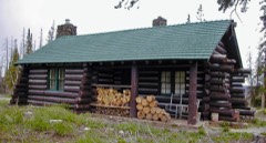 Caretaker's Cabinlisted 1983
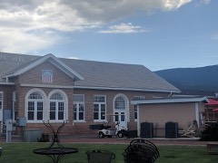 Cedar City Railroad Depotlisted 1984
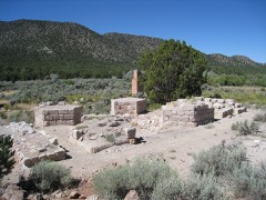 Old Irontownlisted 1971
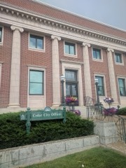 US Post Office-Cedar City Mainlisted 1989
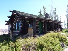 Visitor Centerlisted 1983
- Cedar City Historic Districtlisted 2004
- Old Main and Science Buildingslisted 1984
- George H. Wood Houselisted 1978
Surveyed buildings and structures 10 records
- Cedar City Automotive Repair Shop, 820 North Main Street, Cedar Cityfederal building survey, 25 photographs
- Cedar City Automotive Repair Shop, Automotive Repair Shop, 820 North Main Street, Cedar Cityfederal building survey, 38 photographs
- Cedar City Automotive Repair Shop, Concrete Retaining Wall, 820 North Main Street, Cedar Cityfederal building survey, 6 photographs
- Cedar City Automotive Repair Shop, Gasoline and Oil House, 820 North Main Street, Cedar Cityfederal building survey, 19 photographs
- Cedar City Automotive Repair Shop, Hose Winding Shed, 820 North Main Street, Cedar Cityfederal building survey, 8 photographs
- Cedar City Automotive Repair Shop, Utility Building "B", 820 North Main Street, Cedar Cityfederal building survey, 22 photographs
- George Lamar Wood Cabin, City Park (moved from original location), Cedar Cityfederal building survey, 2 photographs
- Isaac C. Haight House, 200 North & 100 East Streets, Cedar Cityfederal building survey, 1 photograph
- Joseph S. Hunter House, 86 East Center Street, Cedar Cityfederal building survey, 1 photograph
- Mary Bladen House, 200 West Street, Cedar Cityfederal building survey, 3 photographs
Population over time
2 figuresCedar City grew from 28,857 to 35,235 between 2010 and 2020. These are the recorded population figures Wikidata holds for this place, reached through the Geographic Names Information System number this page is keyed on rather than by name, so they belong to this place and not to another of the same name. Most are census counts, but not all are: an early figure may be a founding or settlement estimate, and an estimate published within five years of a census is left out. The change column is computed, and is left blank where more than 20 years separate a figure from the one before it, because a gap that long is not a change between two counts.
| Year | People | Change |
|---|---|---|
| 2010 | 28,857 | |
| 2020 | 35,235 | +6,378 (+22%) |
Topographic sheets covering this place
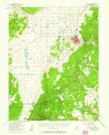
8 surveys from 19 printed sheetsMatched by testing this settlement's coordinate against the published boundary of every sheet in the United States Geological Survey's historical collection. Each opens the scanned sheet at the Survey.
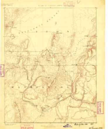
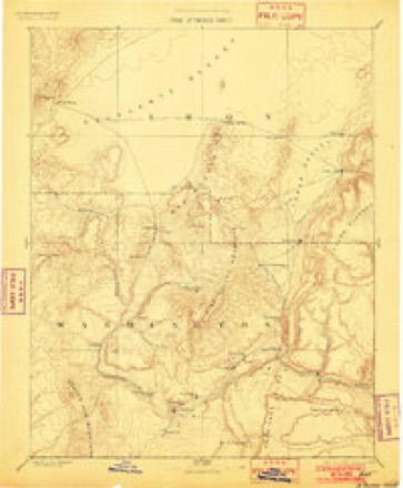
- 1885 USGS St. George quadrangle1:250000
- 1891 USGS St. George quadrangle1:250000, 4 printings
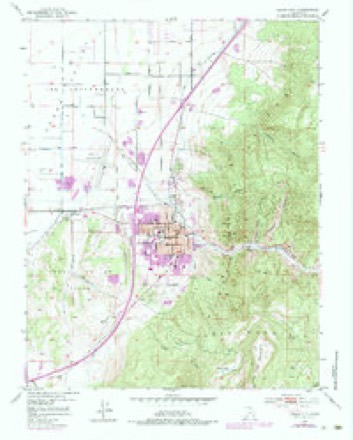
- 1950 USGS Cedar City quadrangle1:24000, 6 printings
- 1950 USGS Cedar City quadrangle1:62500
- 1953 USGS Cedar City quadrangle1:250000, 3 printings
- 1958 USGS Cedar City quadrangle1:250000, 2 printings
- 1962 USGS Cedar City quadrangle1:250000
- 1982 USGS Cedar City quadrangle1:100000
Photographs
8 of 10 photographs shown,Taken for the Office of War Information and the Farm Security Administration, who photographed the country between 1935 and 1944. Works of United States government photographers, with no known restriction on use. Each opens its catalogue record.
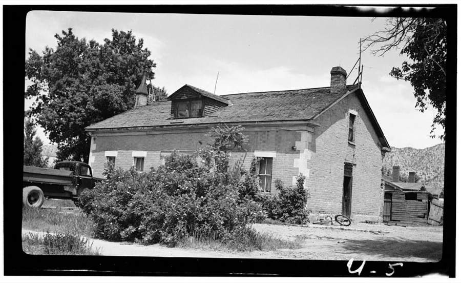
Photographer not recorded. Library of Congress
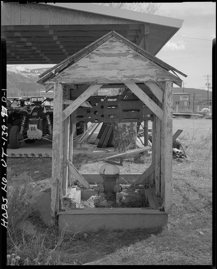
Photographer not recorded. Library of Congress
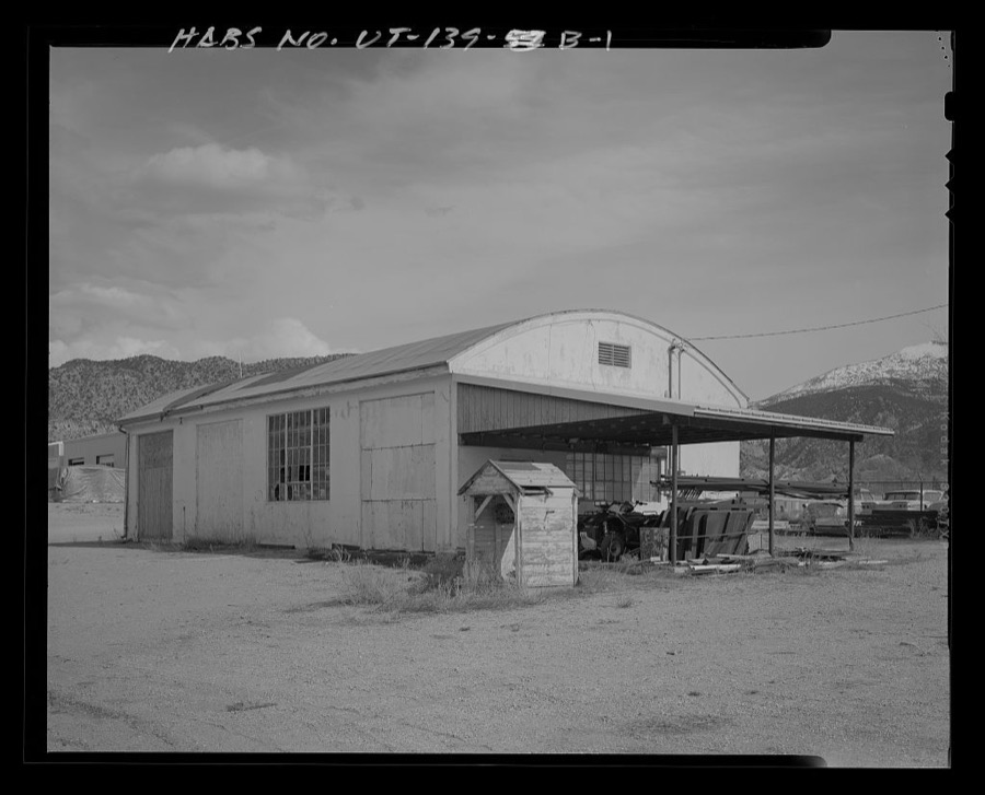
Photographer not recorded. Library of Congress
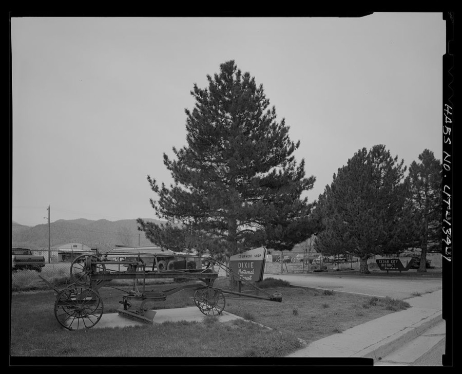
Photographer not recorded. Library of Congress
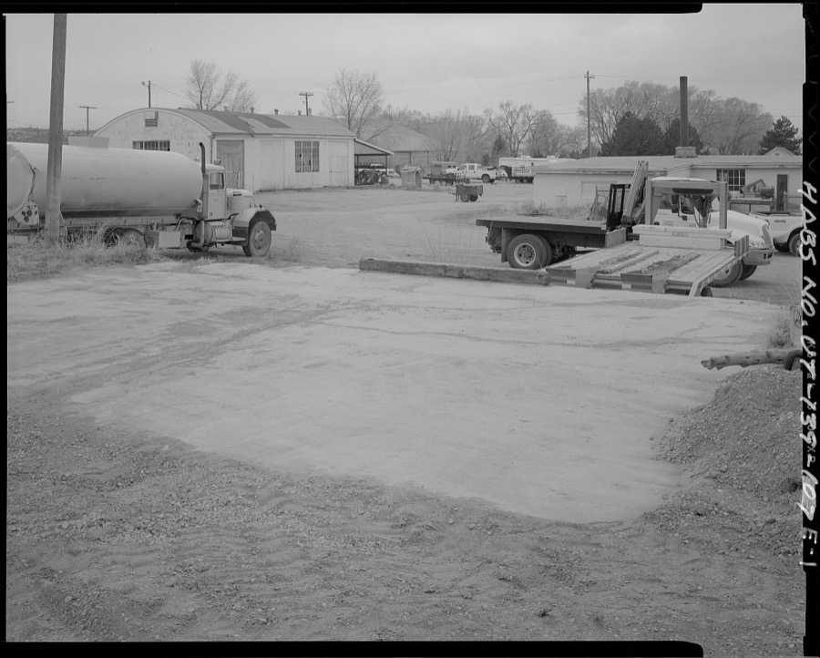
Photographer not recorded. Library of Congress
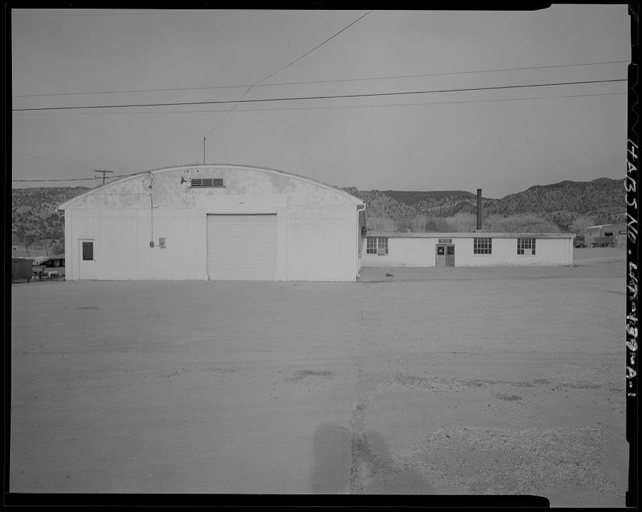
Photographer not recorded. Library of Congress
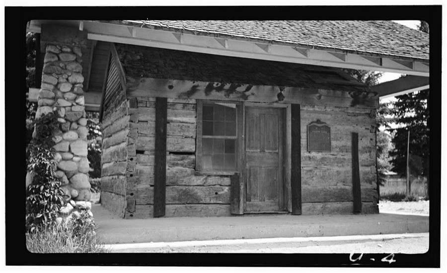
Photographer not recorded. Library of Congress
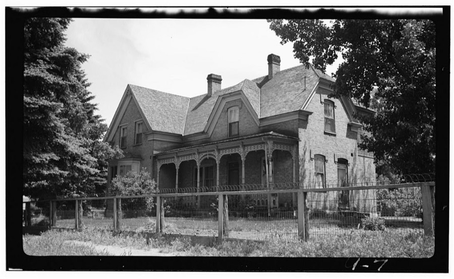
Photographer not recorded. Library of Congress
Every photograph of Iron County
Fires near this place
243 since 1992Regional context, not property-specific evidence. The federal wildfire occurrence database lists 243 fires within 5 miles of Cedar City between 1992 and 2020, burning about 358 acres in total. 51 started naturally. 4 were recorded as arson. Distance is straight-line from the map coordinates, so a fire counted here may appear on a neighbouring settlement's page as well.
| Reported cause | Fires |
|---|---|
| Missing data/not specified/undetermined | 89 |
| Natural | 51 |
| Equipment and vehicle use | 34 |
| Fireworks | 18 |
| Debris and open burning | 15 |
| Recreation and ceremony | 12 |
| Misuse of fire by a minor | 12 |
| Arson/incendiarism | 4 |
| Smoking | 4 |
| Power generation/transmission/distribution | 3 |
| Other causes | 1 |
The most recent of them, most recent first, with the day each was reported and the service that recorded it.
| Date | Cause | Size | Reported by | Name on the report |
|---|---|---|---|---|
| 9 September 2018 | Equipment and vehicle use | under an acre | Southwest Area | MM57 I15 |
| 9 September 2004 | Missing data/not specified/undetermined | under an acre | Utah Division Forestry Fire State Lands | not named |
| 8 September 2011 | Equipment and vehicle use | under an acre | Utah Division Forestry Fire State Lands | MARLBORO |
| 7 September 2019 | Arson/incendiarism | under an acre | Cedar City Field Office | KANARRA MOUNTAIN |
| 6 September 2018 | Equipment and vehicle use | under an acre | Southwest Area | MM58 I15 |
| 6 September 1999 | Misuse of fire by a minor | under an acre | Utah Division Forestry Fire State Lands | SPRUCE FIRE |
| 6 September 1995 | Missing data/not specified/undetermined | 2.0 acres | Utah Division Forestry Fire State Lands | PARKWEST |
| 30 September 2009 | Equipment and vehicle use | under an acre | Utah Division Forestry Fire State Lands | CEDAR CITY ASSIST 3 |
Settlements close enough to share some of these fires:
Mines and quarries near this place
10 of 28 shownRegional context, not property-specific evidence. The federal mineral resources record lists 28 workings within 5 miles of Cedar City: 14 past producers, 12 producers, 2 occurrences. 12 still produce. What was taken out: Sand and Gravel, Construction, Gypsum-Anhydrite, Uranium. Distance is straight-line from the map coordinates, so a quarry counted here may appear on a neighbouring settlement's page as well.
| Where | Site | Commodity | Status | Recorded |
|---|---|---|---|---|
| B & D #1 | Uranium | Occurrence | ||
| Coal Creek Canyon Gypsum Deposit | Gypsum-Anhydrite | Past Producer | 1923 | |
| Coal Creek Canyon Gypsum Deposit | Gypsum-Anhydrite | Past Producer | ||
| Mammoth Plaster & Cement Co. Quarry | Gypsum-Anhydrite | Occurrence | ||
| Cedar Aggregate Products Pit | Sand and Gravel, Construction | Producer | ||
| Condominium Pit | Sand and Gravel, Construction | Past Producer | Andesite, Limestone, Sandstone | |
| Condominium Pit | Sand and Gravel, Construction | Past Producer | ||
| Iron County Gravel Pit | Sand and Gravel, Construction | Producer | ||
| R A Childs Pit | Sand and Gravel, Construction | Producer | ||
| Section 24 Gravel Pit | Sand and Gravel, Construction | Past Producer | Surface |
Storms near this place
18 since 1998Regional context, not property-specific evidence. The National Weather Service names Cedar City in 18 storm reports between 1998 and 2023: 12 flash flood, 3 thunderstorm wind, 1 flood, 1 heavy rain. No death or injury is recorded in these reports. Each account below is quoted exactly as the forecast office filed it, from the NOAA Storm Events Database, and each date opens the federal record of that event.
| When | Event | Place named | Harm | What the report says |
|---|---|---|---|---|
| August 2012 | Flash Flood | Cedar City | $1,500,000 | Major flash flooding occurred in the cities of Enoch and Cedar City on the afternoon of August 17th. Enoch had the most significant damage, with 110 houses damaged by flood waters, while Cedar City mostly experienced street flooding. About 30 of those 110 houses experienced major damage, typically over $30,000 per house, while the rest had more minor damage. Flood waters and some sewage poured into many basements, as well as some ground level floors. The water broke windows and destroyed carpets, walls, and personal belongings in many of the homes. |
| July 2013 | Flash Flood | Cedar City | $400,000 | Significant flash flooding occurred in Cedar City and Enoch, following record rainfall. The Cedar City ASOS recorded 2.25 inches of precipitation for the day, breaking the previous one-day record precipitation for the site. In Cedar City, 30 to 40 homes, as well as one church, experienced flooding, primarily in basements. In addition, heavy rain caused the roof of the Metalcraft Technologies building to collapse, though no one was in the building at the time. In Enoch, two homes and one public works building had significant flooding resulting in damage. Despite all this property damage, no injuries were reported due to the flood waters. |
| October 2004 | Flash Flood | Cedar City | $400,000 | no account filed |
| August 2021 | Flash Flood | Cedar City | $200,000 | Flash flooding was reported on Coal Creek. The Coal Creek near Cedar City gauge rose from 8 CFS to 1160 CFS overnight. Several homes within the Flying L Ranches subdivision outside of Cedar City were damaged by floodwaters. |
| August 2001 | Flash Flood | Cedar City | $50,000 | Portions of Cedar City got pounded with heavy rains, submerging the north freeway interchange with several inches of water and causing a multi-car accident. Streets and basements were also flooded in the Fiddler's Canyon subdivision. |
| June 2000 | Flash Flood | Cedar City | $50,000 | Slow moving thunderstorms formed over Cedar City, causing massive flash flooding. The west side of town received the worst of the flooding. Drainage systems in town were overwhelmed by the storm, as flood waters up to 4 feet deep moved through the streets. One subdivision was evacuated as a wall of water broke through windows and flooded basements. Mud and debris covered Highway 56 west of town, and some intersections were washed out. Several vehicles were also swept down city streets. Two traffic accidents were also caused by the heavy rain and flooding. Rain totals were impressive with one spotter on the west side of town reporting 2.36 inches during the storm. Miraculously, nobody was injured. |
| September 1998 | Flood | Cedar City | $2,000 | no account filed |
| May 2023 | Thunderstorm Wind | Cedar City | - | The Cedar City Regional Airport ASOS recorded a wind gust of 62 mph as a result of outflow winds associated with a nearby cluster of showers and thunderstorms moving through the area. |
| August 2023 | Flash Flood | Cedar City | - | There were reports of flooding at a campground in Cedar Canyon. The Cedar Canyon stream gauge reported a significant rise. |
| July 2021 | Flash Flood | Cedar City | - | Urban flash flooding was reported in Cedar City. A video received via social media showing water flowing down streets near the Ashdown Subdivision. |
| July 2018 | Flash Flood | Cedar City | - | Heavy rain caused flash flooding that temporarily closed state Route 14 at milepost 5. |
| July 2012 | Flash Flood | Cedar City | - | A flash flood occurred on Coal Creek, with the gauge there increasing from 44 cfs to 1021 cfs in one hour. |
| July 2007 | Thunderstorm Wind | Cedar City | - | Thunderstorms wind gusts at Ceder City airport. Gust occurred at 1440 local time. |
| July 2007 | Thunderstorm Wind | Cedar City | - | A 54 knot wind gust was recorded at the Cedar City airport ASOS. |
| August 2005 | Flash Flood | Cedar City | - | SR14 closed due to debris and up to 2ft of water across the road |
| July 2003 | Flash Flood | Cedar City | - | Flash flooding was reported over the mountains about 2 miles east of Cedar City. |
| September 2002 | Hail | Cedar City | - | A severe thunderstorm brought heavy rain and 3/4 inch hail to portions of Cedar City. |
| August 1999 | Heavy Rain | Cedar City | - | A thunderstorm dropped heavy rain in Cedar City for a short period of time, with .31 inches falling in 8 minutes. |
Nearest settlements
The eight closest, with where each one stands in the county. Distances are straight-line, computed from the Geographic Names Information System coordinates.
| Map | Place | Distance | Sheets |
|---|---|---|---|
| Cedar Highlands | 2.9 miles | 19 | |
| Hamiltons Fort | 6.2 miles | 19 | |
| Halivah | 6.4 miles | 18 | |
| Enoch | 6.9 miles | 17 | |
| Fort Johnson | 7.2 miles | 17 | |
| Iron Springs | 10.4 miles | 18 | |
| Summit | 10.8 miles | 14 | |
| Brian Head | 11.2 miles | 18 |
Elsewhere
Matched on this settlement's Geographic Names Information System number rather than its name, so it cannot be a different place of the same name in another state.
| Wikipedia article on Cedar City | An encyclopaedic summary. Its text is share-alike, so it is linked here rather than copied. |
| Wikidata item Q487212 | The structured record the population and elevation above come from. Public domain (CC0). |
Provenance
This settlement is recorded in the Geographic Names Information System as feature 1426441. The sheet list is computed by point-in-boundary test against the United States Geological Survey's historical topographic inventory. Both are works of the United States government and carry no copyright under 17 U.S.C. 105.
Wildfire. Short, Karen C. 2022. Spatial wildfire occurrence data for the United States, 1992-2020 [FPA_FOD_20221014]. 6th Edition. Fort Collins, CO: Forest Service Research Data Archive. https://doi.org/10.2737/RDS-2013-0009.6 Collected with United States Government funding and usable without additional permissions or fees.
Mines and quarries. USGS Mineral Resources Data System (MRDS) https://mrdata.usgs.gov/mrds/ A work of the United States government, no copyright under 17 U.S.C. 105.
Storms. NOAA National Centers for Environmental Information, Storm Events Database https://www.ncei.noaa.gov/stormevents/ A work of the United States government, no copyright under 17 U.S.C. 105. Narratives are quoted verbatim from the National Weather Service report and are not edited or summarised.