 Block
From the record
13 National Register listings published here.
Sources: the National Register database, National Park Service
79 topographic sheets and 2 fire insurance atlases across 1 place.
13 National Register listings published here.
Sources: the National Register database, National Park Service
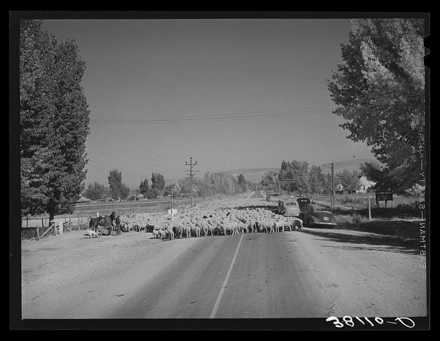
Taken for the Office of War Information and the Farm Security Administration, who photographed the country between 1935 and 1944. Works of United States government photographers, with no known restriction on use. Each opens its catalogue record.
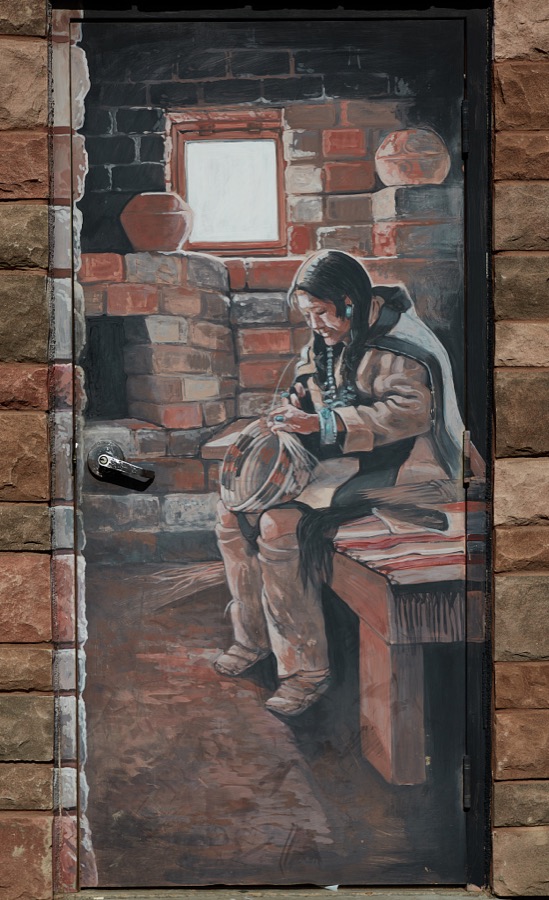
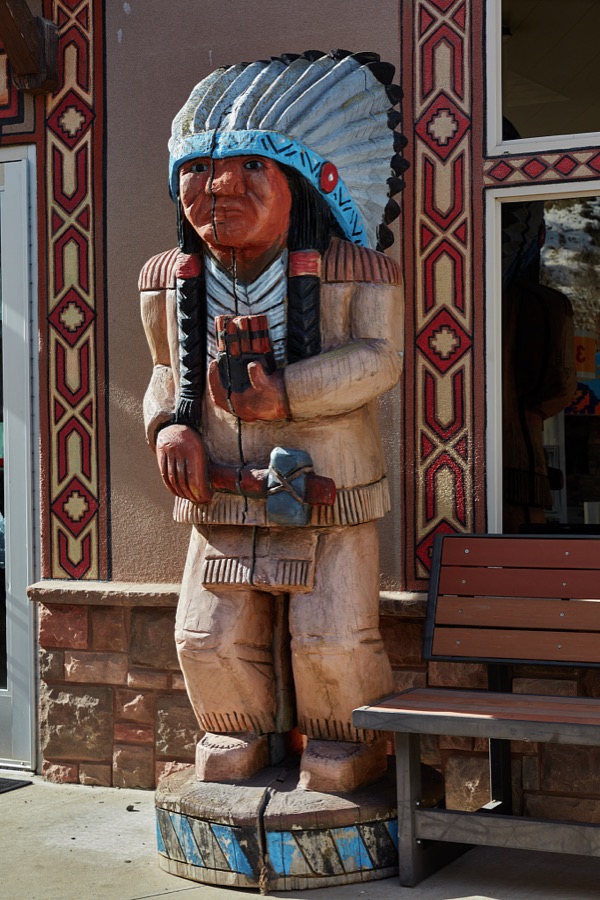
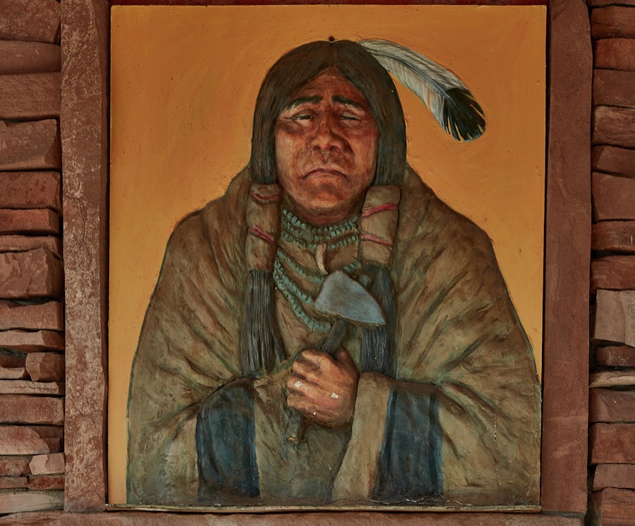
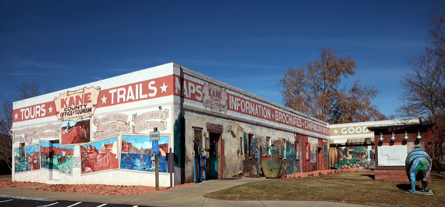
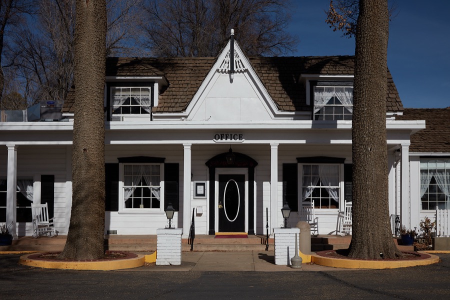
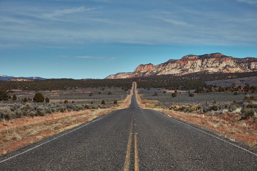
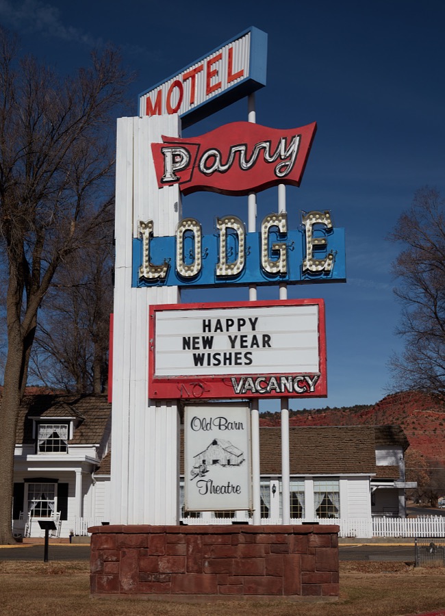
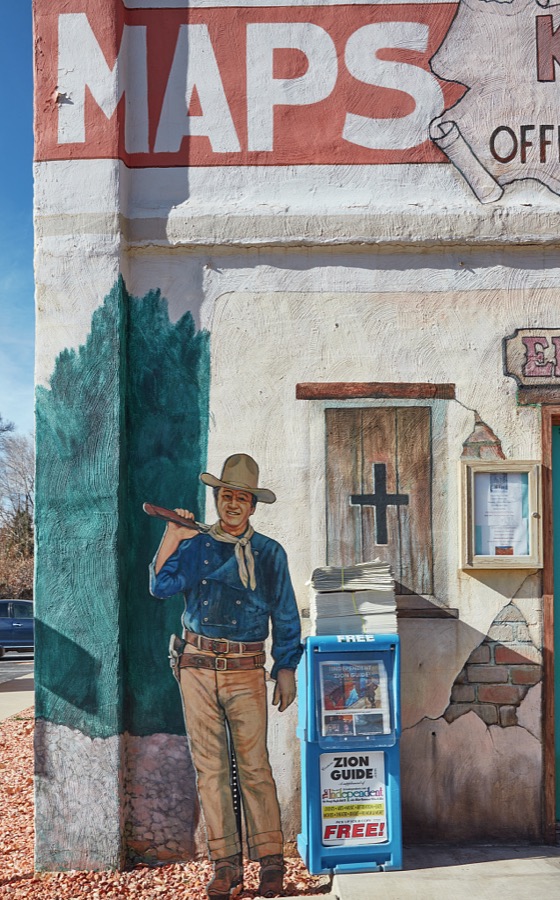
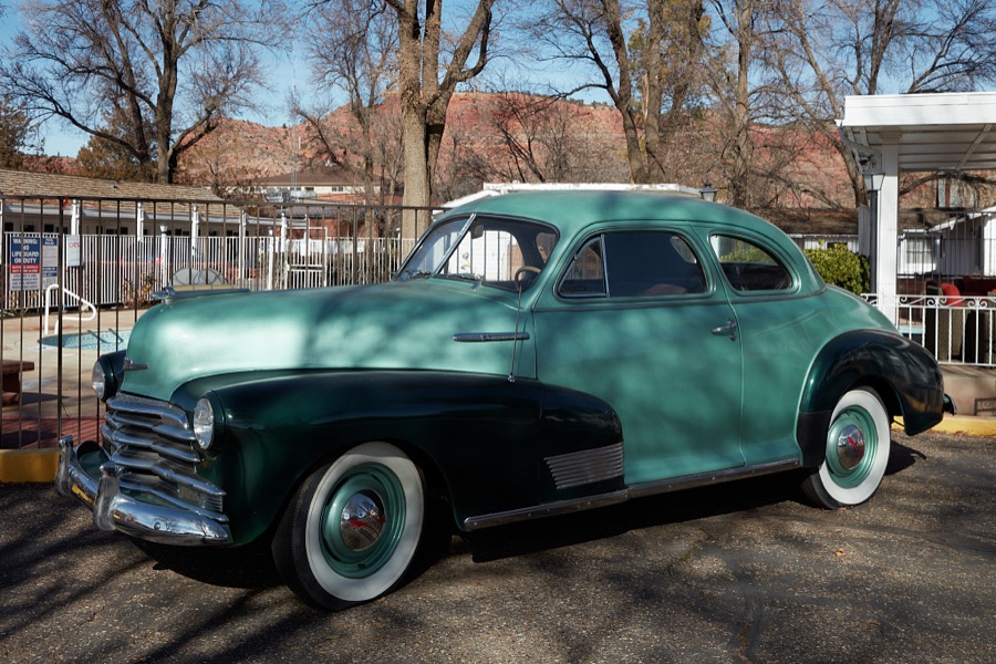
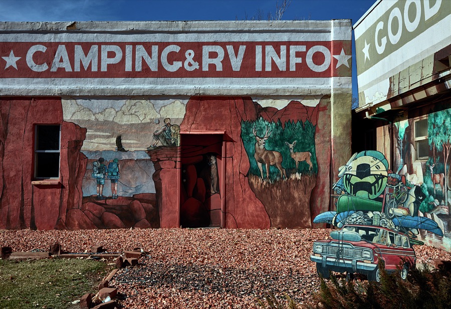

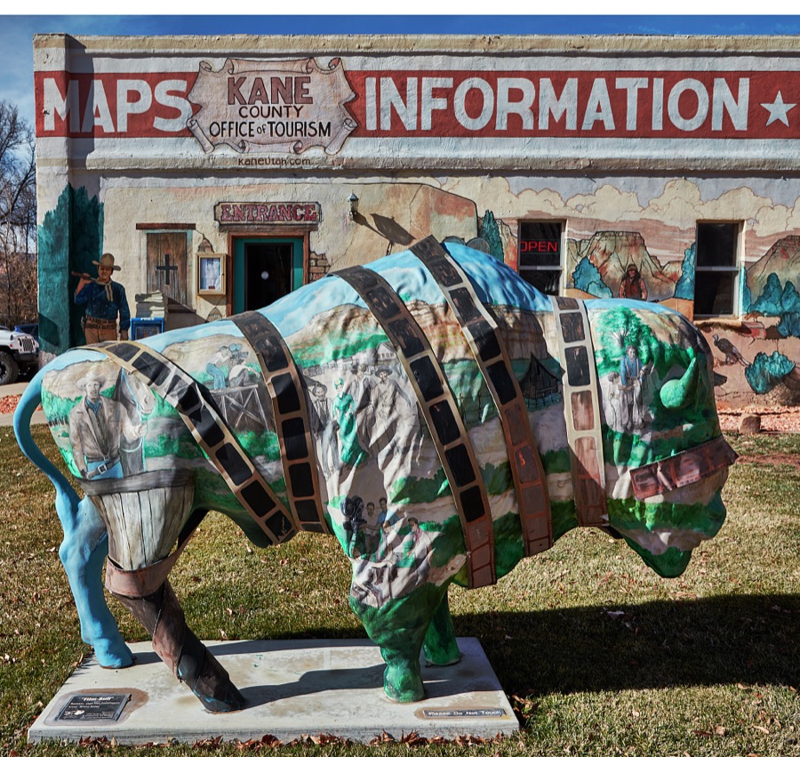
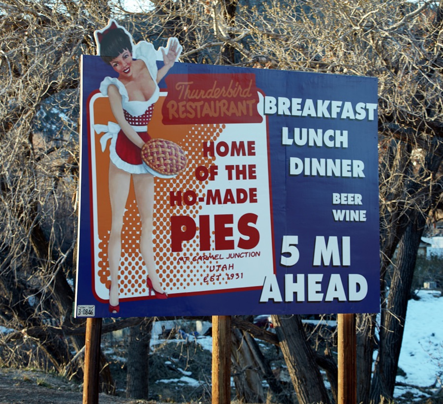
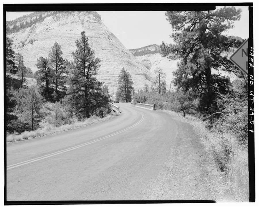
Every property in this county listed on the National Register of Historic Places, with the year it was listed and the federal nomination document.
| Photograph | Property | Type | Listed | Reference |
|---|---|---|---|---|
 | Bowman-Chamberlain House | building | 1975 | 75001811 |
 | Dixon, Maynard, and Edith Hamlin House and Studio | building | 2002 | 01001450 |
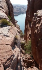 | Hole-In-The-Rock | site | 1975 | 75000165 |
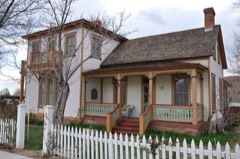 | William Derby Johnson Jr. House | building | 2001 | 01000315 |
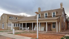 | Kanab (Union Pacific) Lodge | building | 2003 | 03000153 |
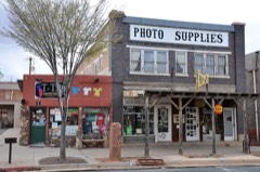 | Kanab Hotel and Cafe | building | 2003 | 03000152 |
| Kanab Library | building | 1995 | 95001067 | |
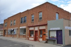 | Kanab Post Office | building | 2011 | 10001175 |
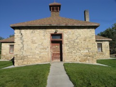 | Mt. Carmel School and Church | building | 1987 | 87002061 |
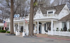 | Parry Lodge | building | 2003 | 02001734 |
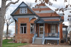 | Rider-Pugh House | building | 2001 | 01000316 |
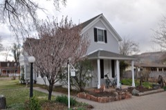 | Stewart-Woolley House | building | 2001 | 01000314 |
| Valley School | building | 1985 | 85000807 |
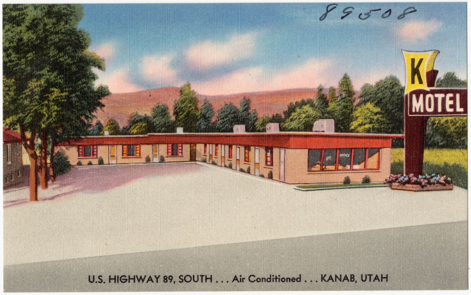
Selected from the Digital Public Library of America's 7 image records catalogued for this county. Every one shown here carries a public-domain status or a licence that permits reuse on a site that carries advertising; non-commercial, share-alike and restricted images are excluded. The selection is spread across the county's towns (at most eight per town), so no single institution's bulk upload crowds out the rest. Each opens the holding library's record, and the complete set at the Digital Public Library of America is one click away.
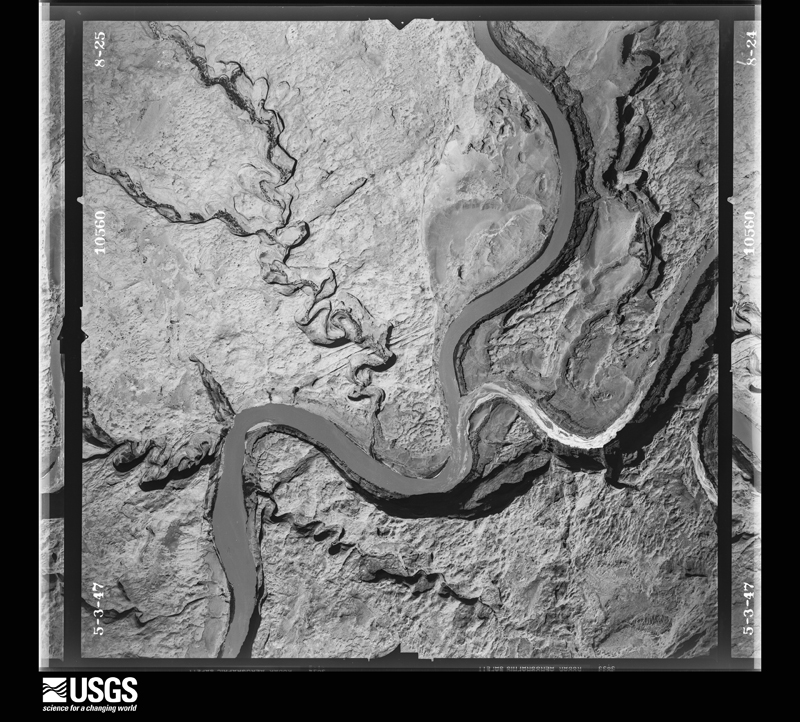
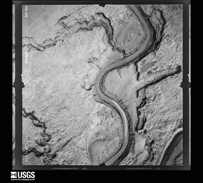
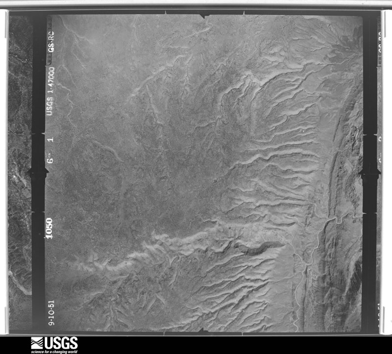
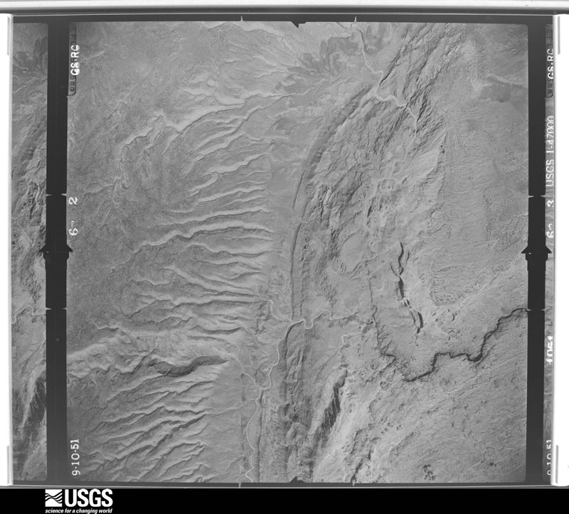
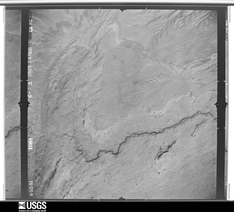
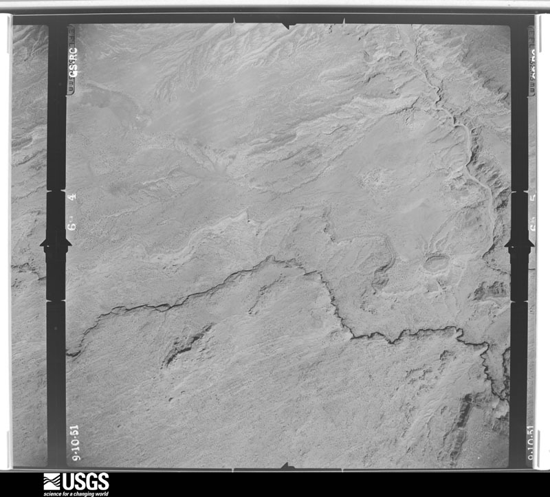
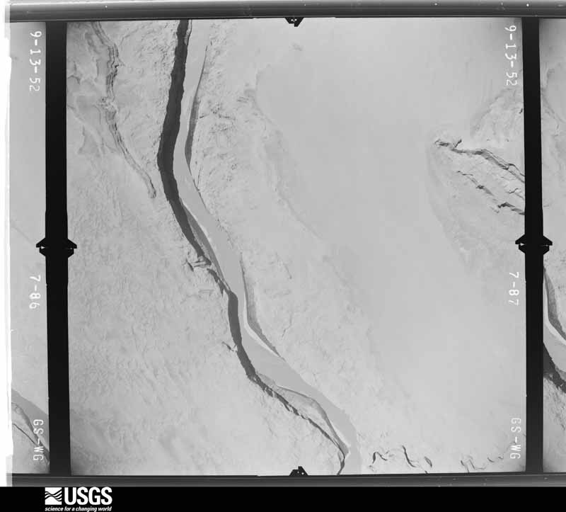
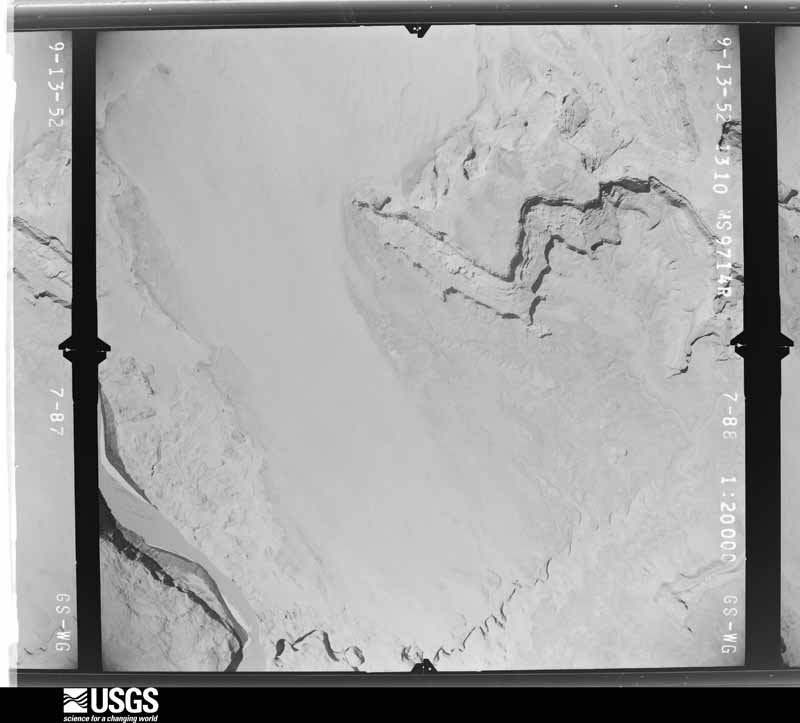
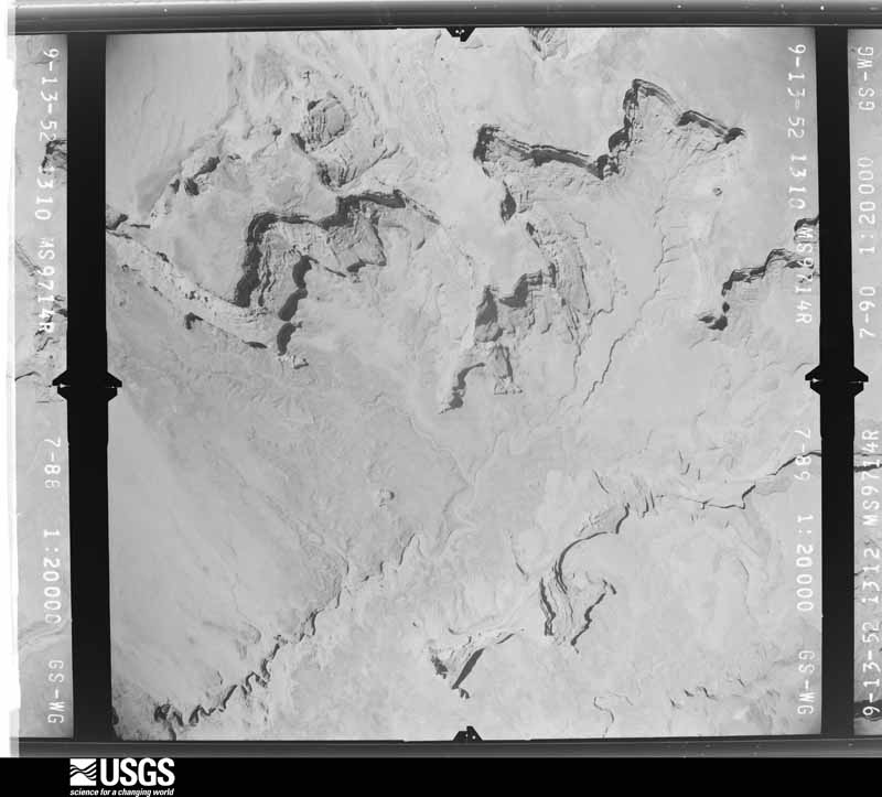
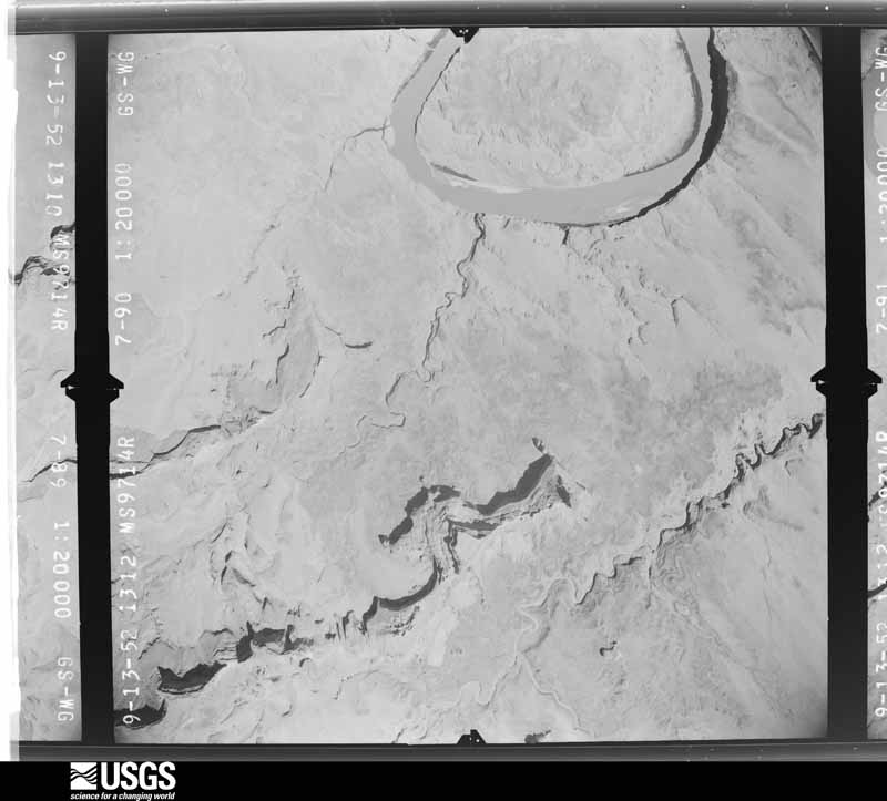
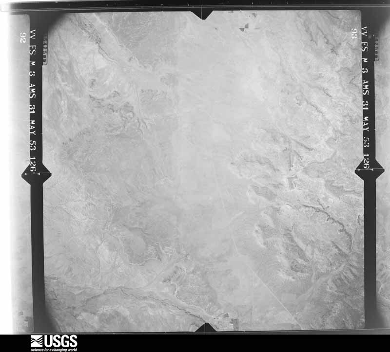
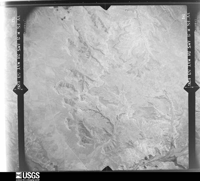
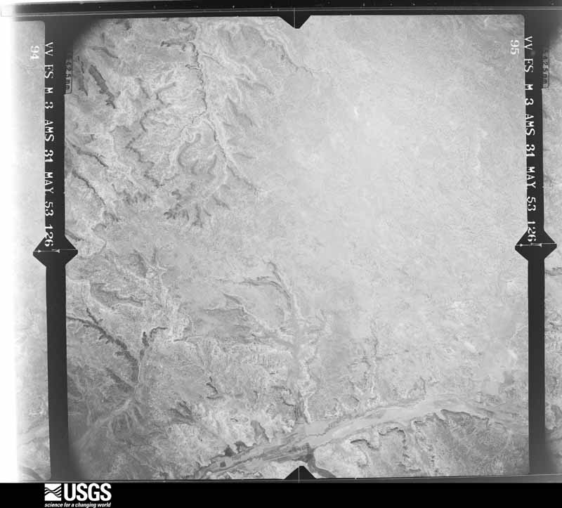
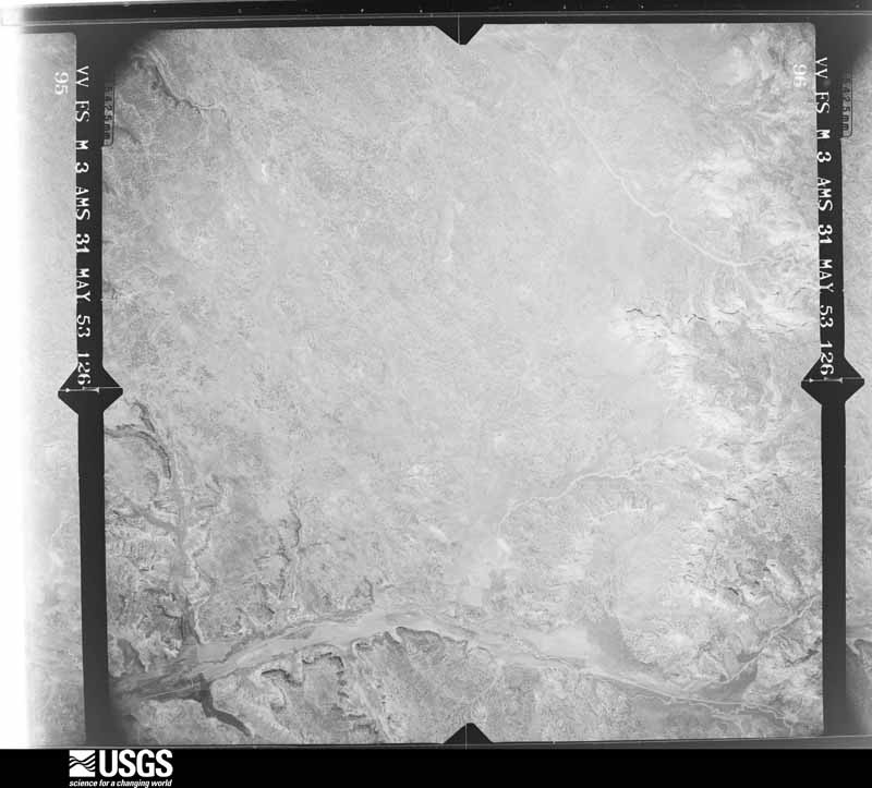
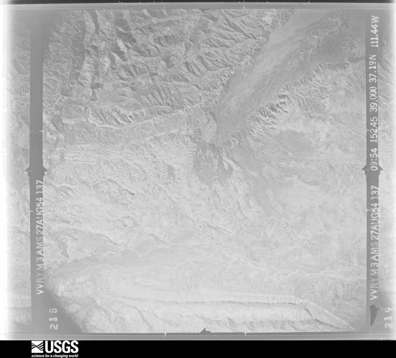
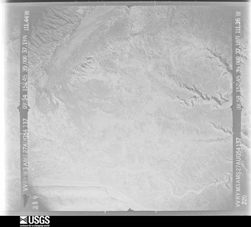
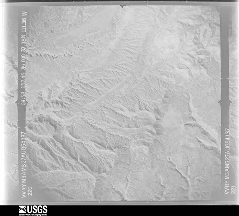
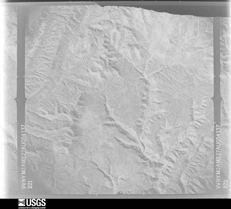
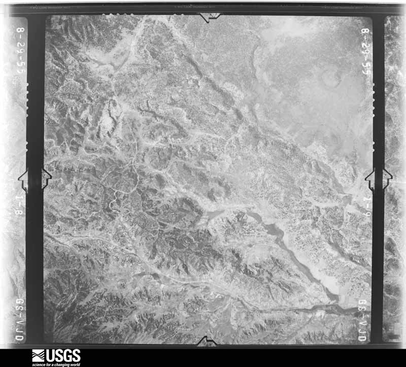
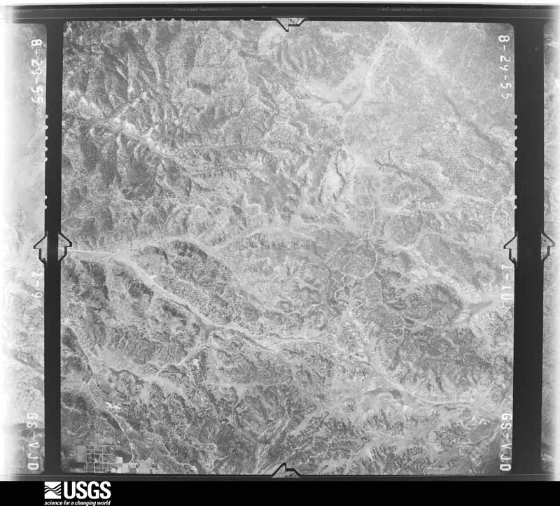
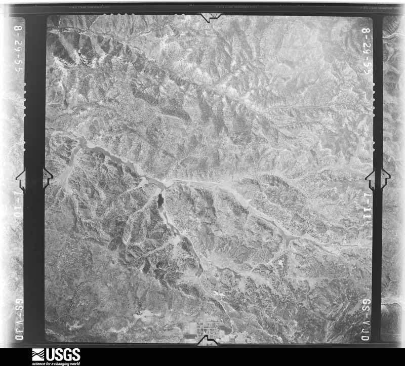
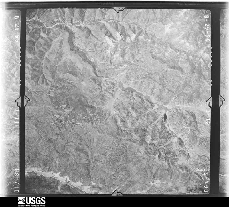
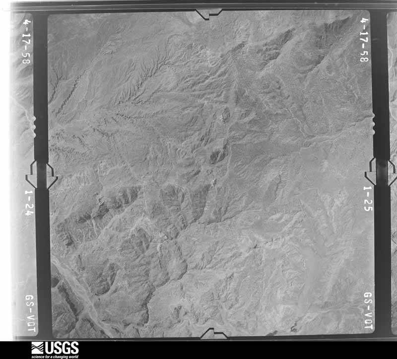
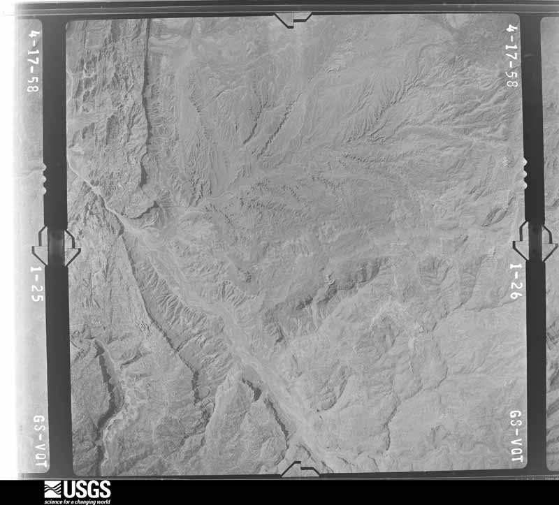
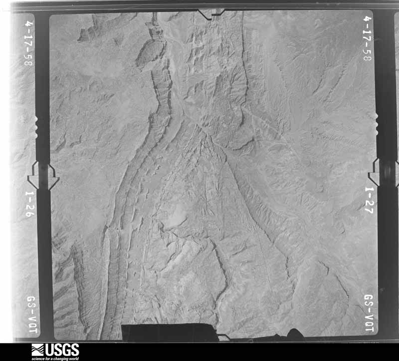
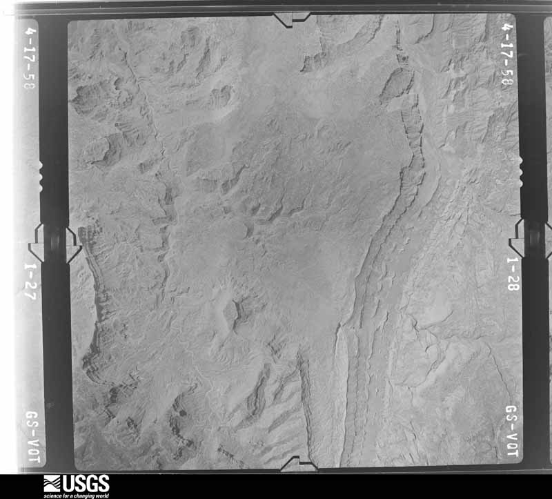
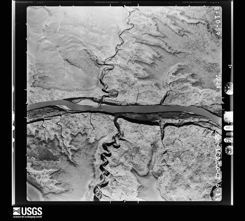
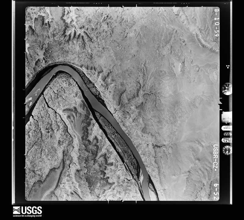
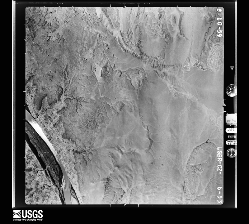
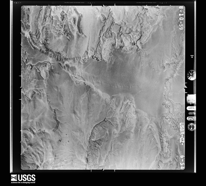
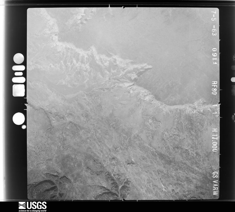
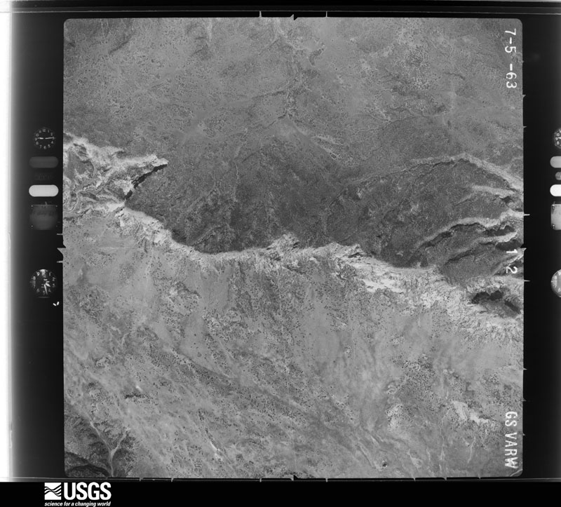
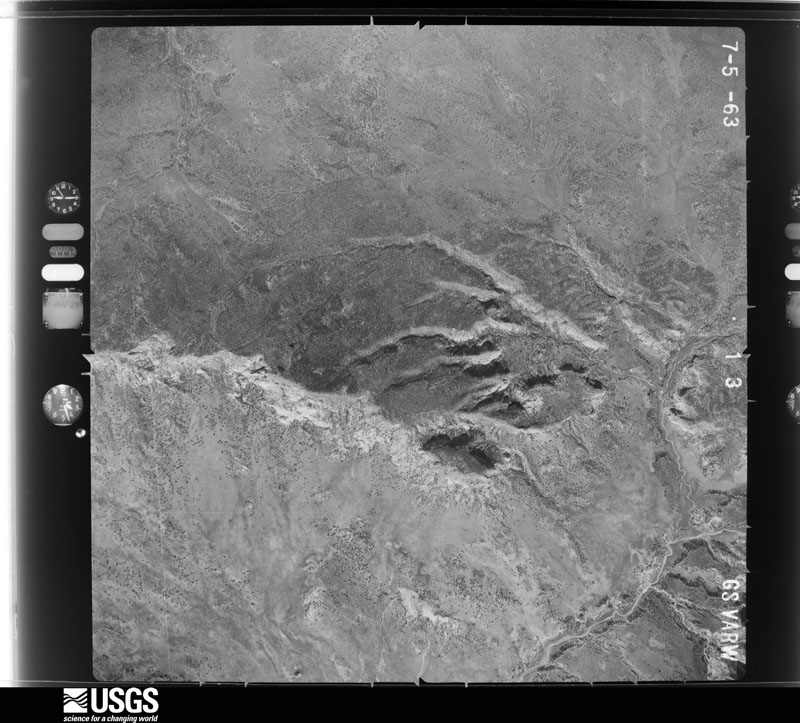
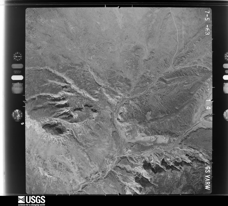
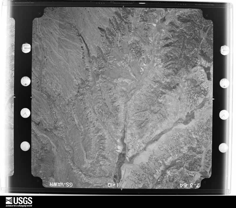
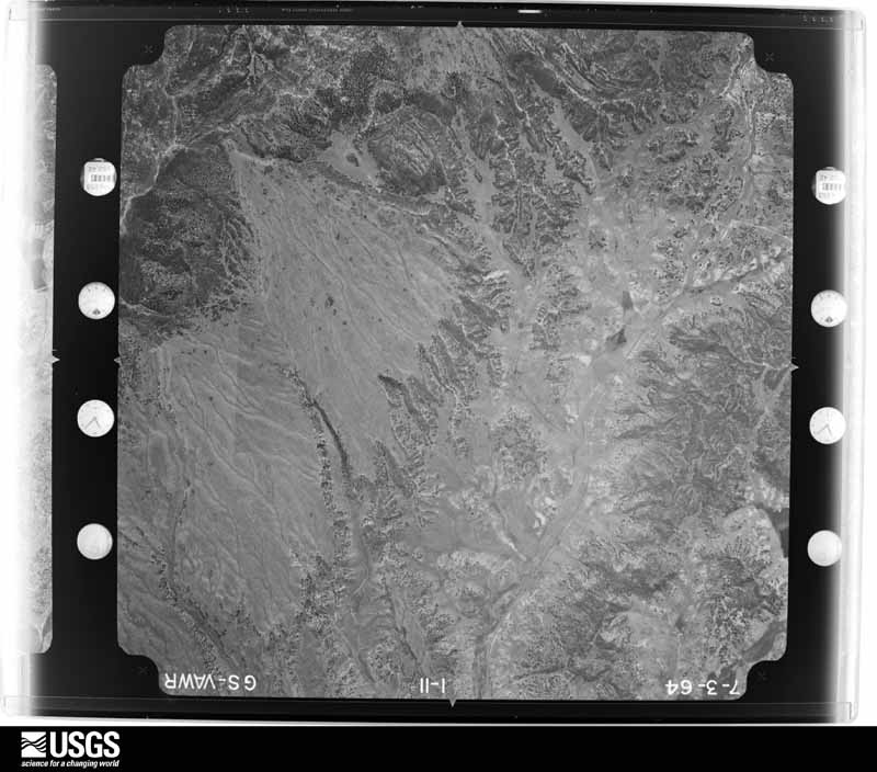
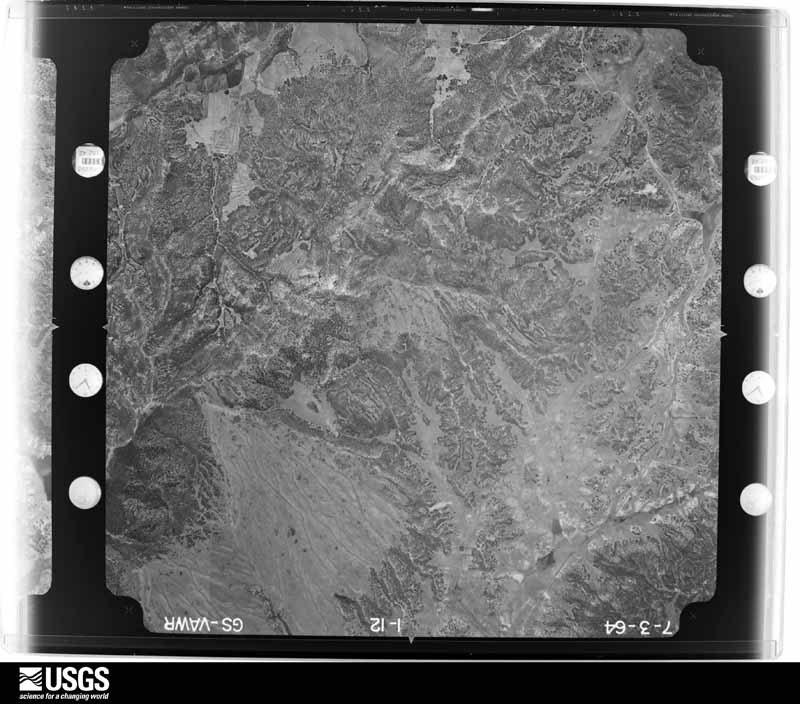
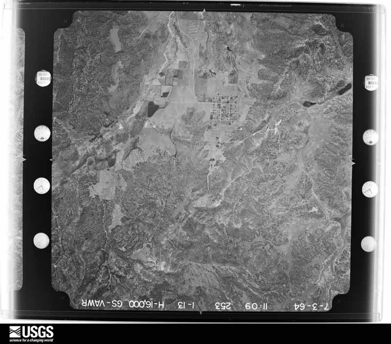
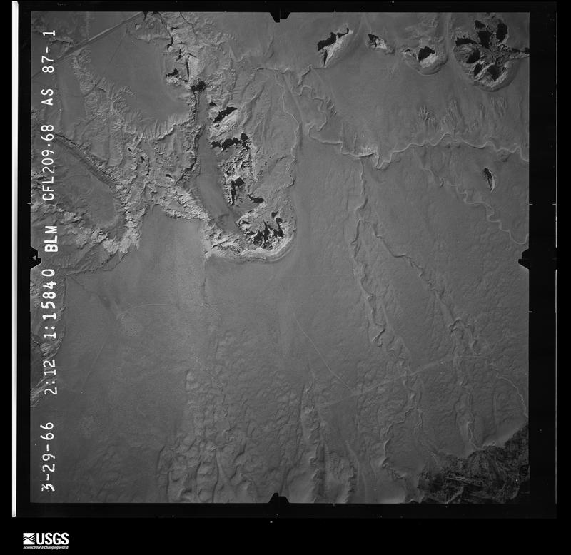
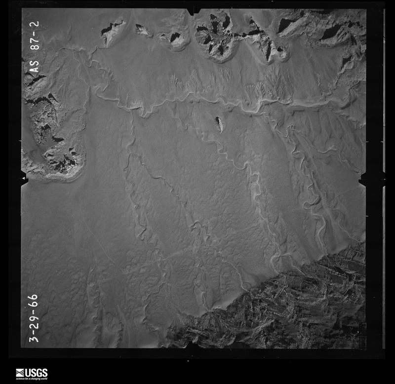
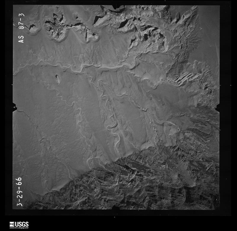
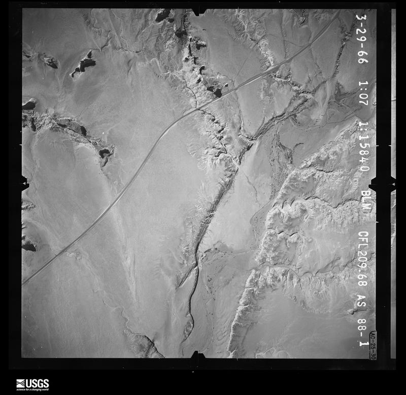
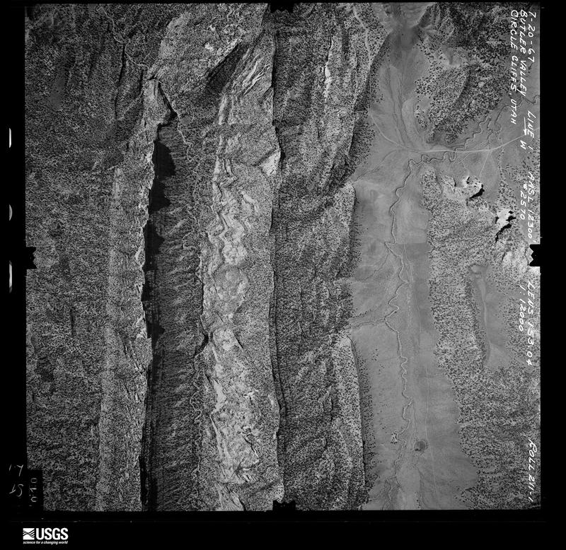
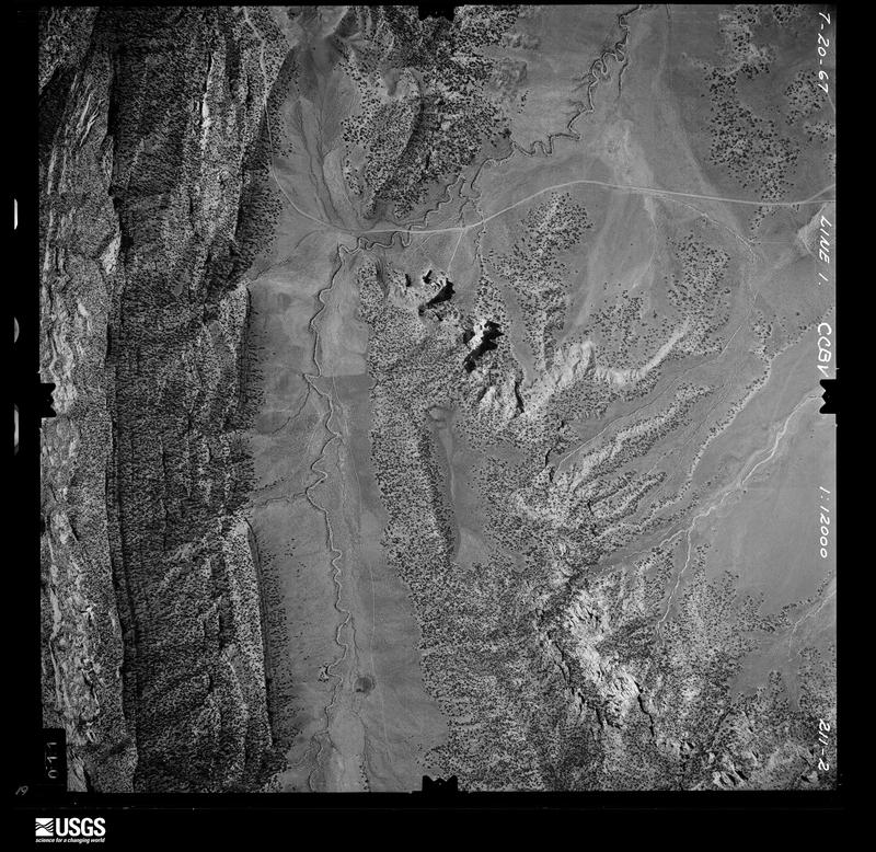
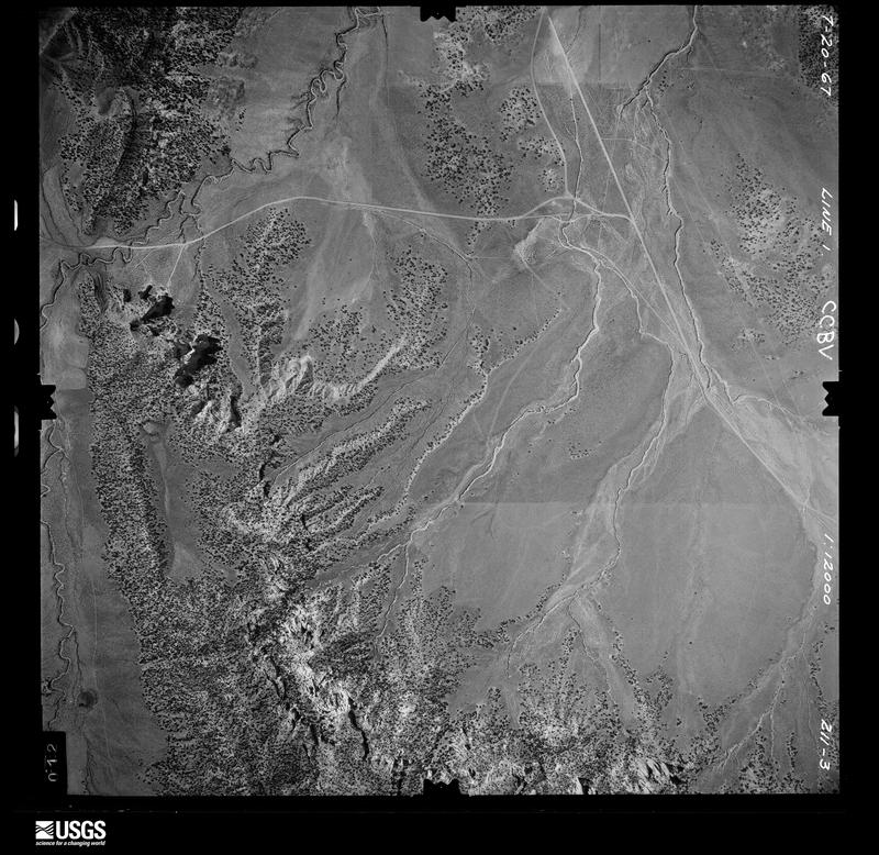
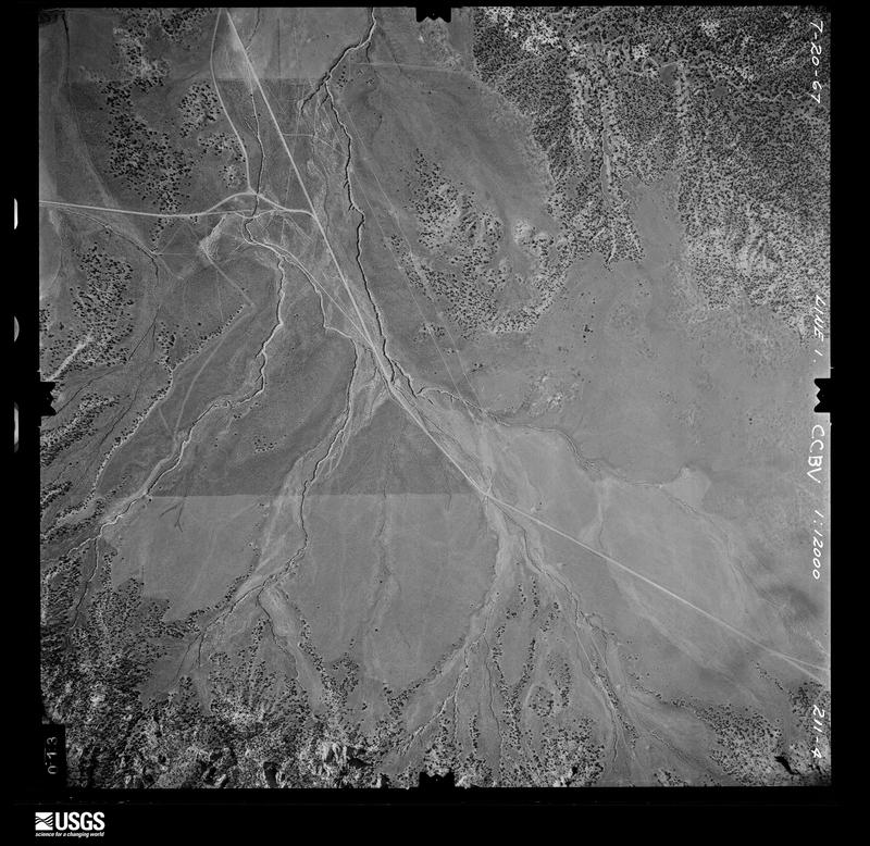
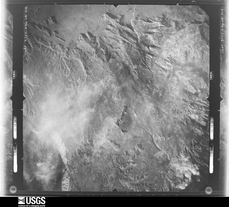
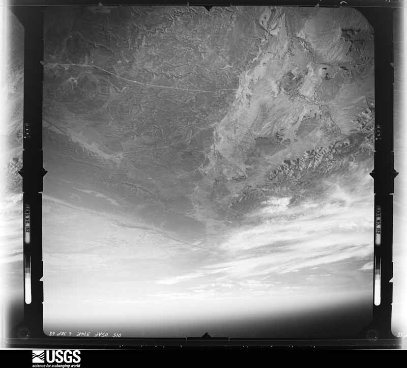
Flown by the U.S. Geological Survey between 1937 and 1989, the Aerial Photo Single Frames collection is the definitive mid-century view of the land: fields, roads and rivers as the camera saw them. The Survey holds 9,042 frames inside the rectangle that bounds this county; the 48 frames below were taken over the county itself, chosen across the decades of flights (at most four a year from that rectangle), so one flight cannot crowd out the rest. The full set is free to browse and download at EarthExplorer under the dataset Aerial Photo Single Frames.
The thermometers that kept this county's weather, and the gages that measured the flow of its streams, as the federal records hold them. The extremes below are measured values from those records, not estimates.
Who lived here in 1950, one enumeration district at a time, as the Census Bureau described each district. Each row opens its official National Archives result, with Population Schedules and ED Maps available there.
Every wildfire the federal occurrence database records inside this county: 2,285 of them, burning about 24,579 acres. 1,658 started naturally and 30 were recorded as arson. Each settlement page carries the fires within five miles of it.
| Reported cause | Fires |
|---|---|
| Natural | 1658 |
| Missing data/not specified/undetermined | 339 |
| Debris and open burning | 88 |
| Recreation and ceremony | 85 |
| Equipment and vehicle use | 42 |
| Arson/incendiarism | 30 |
| Smoking | 19 |
| Misuse of fire by a minor | 10 |
| Fireworks | 8 |
| Other causes | 5 |
| Firearms and explosives use | 1 |
The five largest, by the area the report gives. None of them was recorded as arson.
| Date | Cause | Size | Reported by | Name on the report |
|---|---|---|---|---|
| 1 July 2012 | Equipment and vehicle use | 8,061 acres | Dixie National Forest | SHINGLE |
| 26 June 2020 | Natural | 1,588 acres | Cedar City Field Office | WIRE PASS |
| 14 June 2006 | Natural | 1,437 acres | Cedar City Field Office | BUCKSKIN |
| 25 August 2018 | Natural | 1,387 acres | Dixie National Forest | RIGGS |
| 15 July 2004 | Natural | 1,206 acres | Cedar City Field Office | SHEEPFENCE |
| 28 July 1998 | Natural | 1,110 acres | Cedar City Field Office | BUCKSKIN |
| 6 September 2018 | Natural | 872 acres | Bryce Canyon National Park | LONELY |
| 14 July 2002 | Natural | 800 acres | Zion National Park | CLEARCREEK |
Every settlement page carries the fires within five miles of it - see the settlement index below.
The NOAA Storm Events Database holds 254 reports for this county, causing 7 deaths, 9 injuries and about $2,113,500 in recorded property damage. Each settlement page carries the reports that name it.
| Kind of event | Reports |
|---|---|
| Flash Flood | 201 |
| Thunderstorm Wind | 26 |
| Hail | 16 |
| Flood | 7 |
| Heavy Rain | 3 |
| Funnel Cloud | 1 |
The most serious of them, by death, then injury, then recorded damage. The accounts are quoted exactly as the forecast office filed them.
| When | Event | Place named | Harm | What the report says |
|---|---|---|---|---|
| March 2023 | Flood | Adairville | 2 killed, 1 hurt | A group of hikers went on a three day trip to Buckskin Gulch and were set to return Sunday night. Family members reported them missing Monday morning when they did not return as scheduled. A search began shortly thereafter and one of the hikers was found alive Monday evening and was taken to a hospital via helicopter. The search broke off early Tuesday morning but resumed during the day Tuesday. On Tuesday evening the body of one of the other hikers was found and the third was found Wednesday afternoon. While the search was being conducted for this group of hikers, two other groups of hikers also signaled for help, bringing the total of people rescued from Buckskin Gulch to 11. The conditions were found to be treacherous in the canyon due to high water from snowmelt that has accumulated in the canyon. Given the narrow nature of the canyon in places, it takes a relatively small amount of accumulation of water to make the canyon impassable. Additionally, the location of the canyon allows water to flow into it from the south (from Arizona) as well as from the north (with origins in the vicinity of Bryce Canyon). Recent heavy rains from the ongoing atmospheric river event also hampered rescue efforts. |
| March 2023 | Flood | Adairville | 2 killed, 1 hurt | A group of 3 hikers went on a three day trip through Buckskin Gulch, and were set to return Sunday night. Family members reported them missing Monday morning when they did not return as scheduled. A search began shortly thereafter with one of the hikers found alive on Monday, and taken to a hospital via helicopter. The body of a deceased hiker was found late in the day on Monday. A second deceased individual was discovered on Wednesday, 3 miles south of the Utah/Arizona border on a patch of land in the middle of the Paria River. It is presumed this hiker suffered fatal injuries while within Buckskin Gulch in Utah, and was subsequently washed downstream into the Paria River. During the search and rescue operations, two other groups of hikers signaling for help were rescued, bringing the total number of people rescued from Buckskin Gulch to 11. ||The conditions were found to be treacherous in the canyon due to high water from rain and snowmelt. Given the narrow nature of the canyon in places, it takes a relatively small amount of water to make the canyon impassable. Additionally, the location of the canyon allows water to flow into it from the south (from Arizona) as well as from the north (with origins in the vicinity of Bryce Canyon). |
| May 2023 | Flash Flood | Adairville | 2 killed | Scattered thunderstorms developed across southern Utah on Saturday, moving across the Grand Staircase-Escalante National Monument towards the Glen Canyon National Recreation Area. Locally heavy rainfall was associated with these thunderstorms, with radar estimated rainfall from around 0.75 inches to 1.5 inches noted across the Buckskin Gulch area. Two flood waves resulted, as noted on the Paria River at Lees Ferry gauge, downstream of the canyon. This gauge showed an initial gradual increase to around 50 cfs over the course of 2 hours, followed by a rapid increase to approximately 150 cfs over 15 minutes. The second bump would correlate to roughly a 1 foot rise at Lees Ferry, which would be much higher in the narrow slot canyon area of Buckskin Gulch. During the time of flood waves propagation through the slot canyon, at least 2 permitted hikers were hiking through the canyon. They were reported to be planning on hiking approximately 5 miles into Wire Pass and the Buckskin Gulch slot canyon areas. Kane County Sherriff's department received word of a deceased person within the trail, and subsequently recovered the bodies of two deceased individuals. It is believed that the men drowned in the initial flood wave, and were then washed 7 to 10 miles downstream. |
| September 1998 | Flash Flood | Glen Canyon | 1 killed | no account filed |
| September 2017 | Thunderstorm Wind | Glen Canyon | 3 hurt, $500,000 | Thunderstorms moving over the Glen Canyon National Recreation Area produced severe microburst winds in the Padre Canyon, Sand King, Lone Rock, and Gunsight areas of the park. Several boats were overturned, including a 75 foot houseboat carrying 14 people. Aboard the large houseboat in Padre Canyon, the arm of an 80-year-old woman was severed, and a 57-year-old woman suffered head and hip injuries. Another person near Gunsight suffered a dislocated shoulder. |
| July 2017 | Flash Flood | Paria | 3 hurt | Heavy rain caused a significant flash flood in Buckskin Gulch. This flood impacted a group of approximately 8 hikers who had set up camp along the gulch; most of the hikers put their tents above the gulch in a safe area, but two people set up their tent upstream in the gulch alone. Shortly after falling asleep, the flood waters reached their tent; while both adults were able to exit the tent, they were carried several hundred feet before coming to a stop on the bank. Another hiker tried to get down to the gulch to save the family members from the flood, and broke both feet in the process due to the rough terrain and drops into the gulch. Eventually the group was able to get assistance for the injured members of the party, and some of them were airlifted from the scene. |
| September 2025 | Flash Flood | (U17)Bullfrog (Amos) | 1 hurt | Heavy rainfall resulted in the development of a flash flood and associated flood wave in Hurricane Wash. An emergency manager reported that a hiker within the wash was carried approximately 300 feet downstream before climbing a tree to escape the flood. Due to injuries, the hiker required helicopter evacuation for medical care. There were also washouts reported on Hole-in-the-Rock Road with seven vehicles reported stranded. Time of flood estimated based on radar. |
| December 2010 | Flood | Kanab Ld Arpt | $800,000 | While flooding in Kane County was less than in nearby Washington County, significant damage still occurred. Many roads were closed or impassable due to flood waters, including Highway 14, the 3rd South Connector in Kanab, and US-89 east of Kanab, the last of which had 12 inches of water flowing over the road. A landslide also occurred on US-89 near milepost 93, where debris was approximately 4 feet deep and 50-60 feet wide. Residential flooding occurred in Orderville and Glendale, and many private roads in those two towns were washed out. |
| July 2017 | Flash Flood | Kanab | $200,000 | Heavy rain over Kanab produced widespread flash flooding across the town. Multiple businesses suffered flood damage and approximately 20 homes had some mud or water in their basements. Many roads were flooded, and one drainage canal suffered damage. |
| September 2013 | Flood | Alton Swains Arpt | $185,000 | Heavy rainfall fell over a wide area, resulting in widespread flash flooding. Similar to Garfield County, most of the washes and drainages within the Grand Staircase-Escalante National Monument experienced flooding, most local roads were closed for more than a day, and many of these roads sustained damage from flood waters, including significant damage to Hole-in-the-Rock Road.||In the central portion of Kane County, many drainages flooded, most notably along the Paria River. In addition, State Route 89 flooded from Kanab to Page.||On the far western part of Kane County, State Route 9 (also known as the Zion-Mt. Carmel Highway) was closed for an extended period of time at the east entrance of Zion National Park. Several sections of the road experienced flash flooding, including a ravine where flood waters blocked a road culvert and undercut the road. In total, road damage from this event in Kane County was approximately $185,000. |
| June 2015 | Flash Flood | Glen Canyon | $50,000 | Significant flash flooding was reported in several locations along Lake Powell, including at Wahweap Creek, at Iceberg Canyon, and at Crystal Springs Canyon. Many visitors were stranded for several hours while they waited for the flood waters to subside. The most dramatic flooding occurred in Crystal Springs Canyon, where visitors to the lake watched as three of their boats were tossed around and damaged by the flood waters. One of these boats, a 23-foot 1997 Maxum, was hit and submerged by two boulders, and was considered a total loss after the event. |
| August 2003 | Flash Flood | Kanab | $50,000 | Flash flooding occurred in Johnson Canyon just east of Kanab, washing out a bridge and creating some road damage. |
| July 2021 | Flash Flood | Adairville | $30,000 | Grand Staircase-Escalante National Monument officials reported that significant damage was sustained on House Rock Road near Wire Pass due to flash flooding. |
| September 1998 | Flash Flood | Kanab | $30,000 | no account filed |
| September 1997 | Flash Flood | Kanab | $30,000 | no account filed |
| September 2023 | Flash Flood | Kanab | $25,000 | Grand Staircase-Escalante National Monument Kanab Visitor Center officials reported flash flooding in the town, with local streets flooded and covered with mud and debris, resulting in closure of a few streets. Creeks through town were overflowing across roads at culverts, and in one spot, Kanab Creek was overflowing across the road with water approximately 9 to 12 deep. Dirt roads on the outskirts of town were impassable. Additionally, Kane County Sheriff's office officials reported that several homes had some minor basement flooding. This flooding is the result of strong thunderstorms in the area, with Multi-Radar Multi-Sensor estimates of approximately 0.75 to 1.50 of rainfall in around 3 hours. |
| June 2015 | Flash Flood | Glen Canyon | $20,000 | A large flash flood occurred along Wahweap Creek, particularly near the town of Big Water. The flood waters closed and damaged roads near Big Water, and stranded people at the Big Water Visitor Center for 3 hours. |
| October 2010 | Flood | Glen Canyon | $20,000 | Flooding occurred in many drainages in Kane County, including Wahweep Wash and Bullfrog Creek, with the Burr Trail at Bullfrog Creek becoming impassable due to water flowing over the trail. In addition, basement flooding was reported in Johnson Canyon. |
| July 2010 | Flash Flood | Glen Canyon | $20,000 | Extensive flash flooding occurred across the area, including flooding in Croton Canyon, Warm Springs, and other tributaries. Minor flooding also occurred on Wawheap Creek. |
| September 2004 | Hail | Kanab | $20,000 | no account filed |
| October 2006 | Flash Flood | Paria | $15,000 | Flooding in Wahweap Creek washed out local roads. Water 4 ft deep reported. |
| July 2017 | Flash Flood | Adairville | $10,000 | Flash flooding was reported in several drainages, including Cottonwood Creek, the Paria River, Buckskin Gulch, and Wahweap Creek. Flood waters caused damage to House Rock Road and Cottonwood Road, temporarily stranding multiple groups of people. |
| July 2010 | Flash Flood | Glen Canyon | $10,000 | Flash flooding was reported in Wahweep Wash and Warm Creek, causing road damage across the area. |
| July 2010 | Flash Flood | Glen Canyon | $10,000 | Flash flooding caused roads to be damaged and washed out in Croton and Last Chance Canyons. Park rangers could not access these canyons due to the road damage. |
| August 2010 | Flash Flood | Alton | $10,000 | Heavy rain caused flash flooding near the Skutumpah Road, damaging the road. As a result, rangers were cut off from traveling throughout the Grand Staircase Escalante National Monument. |
| August 2010 | Flash Flood | Glen Cnyn Bsn Arpt | $10,000 | Multiple slot canyons were flooded on the western edge of Glen Canyon National Recreation Area, including Coyote Gulch. Roads were impassable near Coyote Gulch and Sunset Flats, and Hole-in-the-Rock road sustained damage. |
| July 2010 | Flash Flood | Bullfrog | $10,000 | Flash flooding occurred along Bullfrog Creek. This flooding damaged a dirt road that crosses the creek near its confluence with Lake Powell. |
| September 2002 | Flash Flood | Bullfrog | $10,000 | Heavy rains produced flash flooding in the Bullfrog area of Lake Powell. Sewer lines were broke, and water and mud was sent into the campgrounds. |
| October 2025 | Flash Flood | Kanab Ld Arpt | $5,000 | Zion National Park reported mud and sand covering SR-9 at the Washington-Kane County line after heavy rainfall. Heavy equipment was required to clear the road. There were reports of numerous washouts in dry washes and slot canyons on the east side of Zion National Park. The USGS river gauge on the North Fork of the Virgin River reported a sharp rise from a baseline of 45 cfs to 869 cfs within 15 minutes. Zion National Park reported high flows on Clear Creek. |
| June 2024 | Hail | Glen Canyon | $5,000 | Videos from social media showed golf ball-sized hail and minor boat damage on Lake Powell near Ice Cream Canyon. Time is estimated from RADAR. |
| August 2014 | Flash Flood | Glen Canyon | $5,000 | Flash flooding occurred along Wahweap Creek, with the Smoky Mountain Road becoming impassable for several hours. |
| August 2014 | Flash Flood | Paria | $5,000 | Flash flooding was reported in both Johnson Canyon and Buckskin Wash, with road damage in multiple locations across the area. |
| September 2013 | Flash Flood | (U17)Bullfrog (Amos) | $5,000 | Flash flooding was reported in the lower Escalante drainage, washing out some minor roads in the area. |
| August 2013 | Flash Flood | Glen Canyon | $5,000 | Flash flooding occurred in Croton Canyon, damaging one of the roads through that area. |
| September 1997 | Flood | Kanab | $5,000 | no account filed |
| September 2004 | Flash Flood | East Portion | $3,000 | no account filed |
| September 2012 | Flash Flood | Alton Swains Arpt | $2,000 | Flash flooding was reported along Stout Creek. This flooding damaged a fly fishing operation along the creek, including filling a pond with silt, damaging a small bridge, and causing some erosion damage. |
| September 1997 | Heavy Rain | Paria | $2,000 | no account filed |
| July 2024 | Flash Flood | Alton | $1,000 | Flash flooding was reported along Sheep Creek Road near Kodachrome Basin. The road was reported to have experienced flash flooding in several areas over a 5 to 6 mile stretch requiring heavy equipment cleanup due to mud and debris. Report noted from Kodachrome State Park official as well as NWS employee. |
| June 2024 | Flash Flood | Adairville | $1,000 | A flash flood with water several feet deep was reported on House Rock Valley Road. Time and location are approximate. |
| August 2024 | Flash Flood | Kanab Ld Arpt | $1,000 | Time is estimated. A professor of atmospheric science at The University of Utah shared a video showing flash flooding on the East Fork of the Virgin River near Barracks Ranch River Crossing. |
| September 2023 | Flash Flood | Glen Canyon | $1,000 | The Grand Staircase-Escalante National Monument Big Water Visitor Center reported a flash flood wave along Wahweap Creek that was audible from the town of Big Water until around 8 pm MST. A survey of the creek at the Smokey Mountain Road low-water crossing the following morning revealed the flood wave was approximately 60 to 75 feet wide at some point overnight, which would roughly equate to around 3 to 4 feet of depth at this particular point. This flooding was associated with heavy rain that fell within the far headwaters from approximately 3 pm MST to 5 pm MST. |
| May 2014 | Thunderstorm Wind | Bullfrog | $1,000 | A windy thunderstorm moved over Lake Powell, causing a houseboat to be blown into a cliff. One sensor nearby at Bullfrog Marina recorded a peak wind gust of 39 mph. |
| July 2001 | Flash Flood | Kanab | $1,000 | Flash flooding was reported in most canyon from Kanab to Lake Powell, with the heaviest flooding along Paria and Warm Creeks. Several roads were washed out. |
| July 1998 | Heavy Rain | Mt Carmel | $500 | no account filed |
| May 2025 | Thunderstorm Wind | Bullfrog | - | The BULLFROG BASIN MARINA mesonet station recorded a wind gust of 59 mph as a result of outflow winds associated with a nearby cluster of showers and thunderstorms moving through the area. |
| August 2025 | Flash Flood | Adairville | - | Gauge data from Lees Ferry in Arizona suggests a flash flood on the Paria River. Time is estimated based on radar and gauge data. |
| July 2025 | Flash Flood | Paria | - | The USGS Paria River Gauge near Kanab reported a double peak in streamflow to around 1200 CFS on the evening of July 17th. The initial rise in flow was likely associated with storms earlier in the day in the upper Paria River Basin. |
| July 2025 | Flash Flood | Paria | - | A guide for the Paria River reported a large flood wave travelling down the Paria River with the magnitude estimated to be around 3800 CFS. |
| August 2025 | Flash Flood | Glen Canyon | - | Flash flooding was reported along Wahweap Creek near Big Water. |
| August 2025 | Flash Flood | Glen Canyon | - | Flash flooding was reported along a wash near US-89 milepost 9. |
| October 2025 | Flash Flood | Adairville | - | A flash flood was reported on Buckskin Gulch. Time is estimated by radar. |
| October 2025 | Flash Flood | Adairville | - | The Paria River gauge at US-89 recorded a 2400 cfs flood wave. |
| October 2025 | Flash Flood | Glen Canyon | - | A trained spotter reported a flash flood on Wahweap Creek. Time is estimated from radar. |
| October 2025 | Flash Flood | Adairville | - | A backcountry guide reported flash flooding of Catstair Canyon along Highway 89 in addition to all small washes between mile post 19 and 21 along Highway 89. Some amount of water was still flowing down the Paria River at 3 p.m. |
| September 2025 | Flash Flood | Adairville | - | A rapid rise from a no-flow state to around 300 cfs was observed on the Paria River Near Kanab, UT gauge along US-89. |
| September 2025 | Flash Flood | Adairville | - | Heavy rain in the Paria River drainage resulted in the development and propagation of a flood wave. Approximately 2 miles below the White House campground a group of hikers required helicopter evacuation. |
| July 2024 | Flash Flood | Glen Cnyn Bsn Arpt | - | A BLM Ranger reported a large flash flood of Dry Valley Creek where it meets Rock Springs Creek. The flash flood waters were reported to by up to 4-6 feet deep given a water mark left behind that was higher than the vehicle. Further south, a BLM Ranger reported flash flooding near the Old Town Paria site, with a couple feet of water reportedly flowing off the surrounding terrain and into the Paria River. Times estimated. |
| July 2024 | Flash Flood | Adairville | - | The Paria River near Kanab river gage showed a rapid rise from minimal flow to a peak flow of 409 CFS. Flooding was also confirmed by an observer along the Paria River with supporting pictures and documentation. |
| June 2024 | Flash Flood | Adairville | - | The Paria River near Kanab gauge peaked at 487 cfs after starting off dry at 0 cfs earlier in the day. |
The Survey's mineral resources record lists 156 workings inside this county. 13 still produce and 143 are closed or unrecorded. Each settlement page carries the workings within five miles of it.
| Commodity | Workings |
|---|---|
| Sand and Gravel, Construction | 62 |
| Uranium | 21 |
| Gemstone | 10 |
| Copper | 8 |
| Stone, Crushed/Broken | 6 |
| Titanium, Metal, Iron, Zirconium, Thorium | 6 |
| Gypsum-Anhydrite | 5 |
| Gold | 5 |
| Manganese | 5 |
| Silica | 4 |
| Vanadium | 4 |
| Titanium, Iron | 4 |
| Uranium, Vanadium | 3 |
| Titanium, Metal, Zirconium, Thorium, Iron | 3 |
The least common of them first, because a county's hundredth gravel pit says nothing its first ten did not.
| Where | Site | Commodity | Status | Recorded |
|---|---|---|---|---|
| Bennetts Seep | Oil Sands | Occurrence | Sandstone | |
| Black Knoll Cinder Deposit | Stone, Crushed/Broken, Aggregate, Light Weight | Past Producer | Basalt | |
| Bottle Sand Mine | Stone | Producer | ||
| Bryce Canyon Gravel Pit | Limestone, General | Past Producer | Surface | |
| Drip Tank Canyon | Abrasive | Occurrence | ||
| Duck Creek Cinder Pit | Volcanic Materials | Past Producer | Surface | |
| Kaiparowits | Gold, Chromium, Platinum, Tin | Prospect | STREAM PLACER | |
| Mann | Iron, Titanium, Metal, Thorium, Zirconium | Occurrence | Ilmenite, Magnetite, Zircon | |
| Radiance Group | Uranium, Copper | Past Producer | ||
| Ridge Copper | Chromium | Past Producer | ||
| U-429 | Titanium, Iron, Zirconium, REE | Occurrence | ||
| Unnamed | Mercury | Occurrence | ||
| Black Knoll Cinder Deposit | Pumice | Past Producer | ||
| Copper Cliffs | Manganese, Copper | Prospect | Chrysocolla, Malachite | |
| Copper Cliffs | Manganese, Copper | Past Producer | ||
| Duck Creek Cinder Pit | Pumice | Producer | ||
| Klondike Bar | Gold, Platinum, Silver | Past Producer | Stream Placer | |
| Meskin Bar | Gold, Platinum, Silver | Past Producer | Placer | |
| Rock Spring Lead | Lead | Past Producer | ||
| Rock Springs Lead | Lead | Past Producer | Replacement | |
| Bulloch Claim | Uranium, Vanadium | Occurrence | Carnotite | |
| Croton and Sunday Canyons | Titanium, Metal, Zirconium, Thorium, Iron | Occurrence | Ilmenite, Magnetite, Zircon | |
| Croton and Sunday Canyons | Titanium, Iron, Zirconium, Thorium | Occurrence | ||
| Lynn Claims | Uranium, Vanadium | Past Producer | 1950 | |
| Mann | Titanium, Iron, Zirconium, Thorium | Occurrence | ||
| Sargent | Titanium, Metal, Zirconium, Thorium, Iron | Occurrence | Ilmenite, Magnetite, Zircon | |
| Sargent | Titanium, Iron, Zirconium, Thorium | Occurrence | ||
| Steele Claims | Uranium, Vanadium | Occurrence | Replacement | |
| U-429 | Titanium, Metal, Zirconium, Thorium, Iron | Occurrence | Ilmenite, Magnetite, Zircon | |
| Bulloch Claim | Uranium, Vanadium | Occurrence | ||
| Coral Pink | Silica | Occurrence | ||
| Jeannie Claims | Uranium, Vanadium | Occurrence | ||
| Kanab Creek Road Junction Mine | Silica | Past Producer | ||
| Lynn Claims | Uranium, Vanadium | Past Producer | ||
| Montezuma Mine | Silica | Past Producer | ||
| Steele Claims | Uranium, Vanadium | Past Producer | ||
| The Sand Hills | Silica | Occurrence | ||
| Averett Canyon Gypsum | Gypsum-Anhydrite | Occurrence | Anhydrite, Gypsum | |
| Averett Canyon Gypsum | Gypsum-Anhydrite | Occurrence | ||
| Black John Property | Manganese | Occurrence | Psilomelane, Pyrolusite | |
| East Kanab | Manganese | Prospect | 1952 | |
| King Mine | Manganese | Unknown | ||
| Klondike Bar | Gold | Past Producer | ||
| Manganese King | Manganese | Past Producer | 1908 | |
| Manganese King | Manganese | Past Producer | ||
| Meskin Bar | Gold | Unknown | ||
| Red Wash Gypsum Occurrence | Gypsum-Anhydrite | Occurrence | Gypsum | |
| Spring Hollow | Gypsum-Anhydrite | Occurrence | Anhydrite, Gypsum | |
| Spring Hollow | Gypsum-Anhydrite | Occurrence | ||
| Bottle Sand Mine | Stone, Crushed/Broken | Past Producer | Surface/Underground | |
| Croten Canyon | Titanium, Metal, Iron, Zirconium, Thorium | Occurrence | ||
| Croten and Sunday Canyons | Titanium, Metal, Iron, Zirconium, Thorium | Occurrence | ||
| Kanab Creek Road Junction Mine | Stone, Crushed/Broken | Past Producer | Quartz, Sand | |
| Mann Deposits | Titanium, Metal, Iron, Zirconium, Thorium | Occurrence | ||
| Montezuma Mine | Stone, Crushed/Broken | Past Producer | Underground | |
| Sargent | Titanium, Metal, Iron, Zirconium, Thorium | Occurrence | ||
| Sunday Canyon | Titanium, Metal, Iron, Zirconium, Thorium | Occurrence | ||
| Three Lakes Canyon | Stone, Crushed/Broken | Past Producer | Underground | |
| Three Lakes Canyon | Stone, Crushed/Broken | Past Producer | ||
| U-429 Claim | Titanium, Metal, Iron, Zirconium, Thorium | Occurrence | ||
| Bullet Shafts | Copper | Prospect | Replacement | |
| Bullet Shafts | Copper | Past Producer | ||
| Hattie Green | Copper | Occurrence | Chalcanthite, Malachite | |
| Hattie Green | Copper | Past Producer | ||
| Jodies Knoll | Copper | Occurrence | Chrysocolla, Malachite | |
| Jodies Knoll | Copper | Past Producer | ||
| Radiance Group | Uranium, Copper | Past Producer | Malachite, Torbernite | |
| Ridge Copper | Copper | Occurrence | Replacement | |
| Cemetary Deposit | Gemstone | Occurrence | Jasper | |
| Cemetary Deposit | Gemstone | Past Producer | ||
| H & B Mine | Gemstone | Producer | ||
| Jet R | Gemstone | Occurrence | 1966 | |
| Jet R | Gemstone | Past Producer | ||
| Petrified Hollow Prospect | Gemstone | Occurrence | ||
| Swag | Gemstone | Occurrence | Limonite | |
| Swag | Gemstone | Past Producer | ||
| Vermilion Cliffs | Gemstone | Past Producer | Jasper, Petrified Wood | |
| Vermillion Cliffs | Gemstone | Unknown | ||
| Balboa | Uranium | Unknown | ||
| Bullock | Uranium | Occurrence | ||
| Bullock Group | Uranium | Producer | ||
| Fleabag | Uranium | Occurrence | Surface/Underground | |
| Fleabag | Uranium | Past Producer | ||
| Jeannie #2, #3, #4 Claims | Uranium | Producer | ||
| Kitchen Corral Wash | Uranium | Occurrence | Replacement | |
| Kitchen Corral Wash | Uranium | Past Producer | ||
| Lynn #1, 2, 3 Claims | Uranium | Producer | ||
| Lynn Group | Uranium | Unknown | 1949 | |
| Movie Town | Uranium | Occurrence | Replacement | |
| Movie Town | Uranium | Past Producer | ||
| Pyramid Group | Uranium | Unknown | ||
| Radiance Claims | Uranium | Producer | Vein | |
| School Section 16 | Uranium | Producer | ||
| School-Section 16 | Uranium | Unknown | Surface | |
| Adams Wash Gravel Pit East | Sand and Gravel, Construction | Past Producer | Gravel, Sand | |
| Adams Wash Gravel Pit East | Sand and Gravel, Construction | Unknown | ||
| Adams Wash Gravel Pit West | Sand and Gravel, Construction | Past Producer | Gravel, Sand | |
| Adams Wash Gravel Pit West | Sand and Gravel, Construction | Past Producer | ||
| Alton South Gravel Pit #1 | Sand and Gravel, Construction | Past Producer | Surface | |
| Alton South Gravel Pit No.1 | Sand and Gravel, Construction | Past Producer | ||
| Alton South Gravel Pit No.2 | Sand and Gravel, Construction | Past Producer | ||
| Alton South Gravel Pits #2 | Sand and Gravel, Construction | Past Producer | Surface | |
| Coral Pink | Sand and Gravel, Construction | Occurrence | ||
| Hill Top Gravel Pits | Sand and Gravel, Construction | Past Producer | Gravel, Sand | |
| Hill Top Gravel Pits | Sand and Gravel, Construction | Past Producer | ||
| Kanab Creek Gravel Pits | Sand and Gravel, Construction | Past Producer | Surface | |
| Kanab Creek Gravel Pits | Sand and Gravel, Construction | Past Producer | ||
| Sink Valley Borrow Pit | Sand and Gravel, Construction | Past Producer | Gravel, Sand | |
| Sink Valley Borrow Pit | Sand and Gravel, Construction | Past Producer | ||
| Skutumpah Canyon Borrow Pit | Sand and Gravel, Construction | Past Producer | Gravel, Sand | |
| Skutumpah Cyn Borrow Pit | Sand and Gravel, Construction | Unknown | ||
| Slide Canyon Borrow Pit | Sand and Gravel, Construction | Past Producer | Gravel, Sand | |
| Slide Canyon Borrow Pit | Sand and Gravel, Construction | Past Producer | ||
| The Falls Borrow Pit | Sand and Gravel, Construction | Past Producer | Gravel, Sand | |
| The Falls Borrow Pit | Sand and Gravel, Construction | Past Producer | ||
| The Sand Hills | Sand and Gravel, Construction | Past Producer | ||
| Utah Dept Highways Pit No 13002 | Sand and Gravel, Construction | Past Producer | ||
| Utah Dept Highways Pit No 13003 | Sand and Gravel, Construction | Producer | ||
| Utah Dept Highways Pit No 13004 | Sand and Gravel, Construction | Past Producer | ||
| Utah Dept Highways Pit No 13010 | Sand and Gravel, Construction | Producer | ||
| Utah Dept Highways Pit No 13021 | Sand and Gravel, Construction | Past Producer | ||
| Utah Dept Highways Pit No 13022 | Sand and Gravel, Construction | Producer | ||
| Utah Dept Highways Pit No 13024 | Sand and Gravel, Construction | Producer | ||
| Utah Dept Highways Pit No 13025 | Sand and Gravel, Construction | Producer | ||
| Utah Dept Highways Pit No 13026 | Sand and Gravel, Construction | Past Producer | ||
| Utah Dept Highways Pit No 13027 | Sand and Gravel, Construction | Past Producer | ||
| Utah Dept Highways Pit No 21016 | Sand and Gravel, Construction | Past Producer | ||
| Utah Dept Highways Pit No 21017 | Sand and Gravel, Construction | Past Producer | ||
| Utah Dept of Highways Pit No.21015 | Sand and Gravel, Construction | Past Producer | ||
| Utah Dept. Highways Pit #13002 | Sand and Gravel, Construction | Past Producer | Gravel | |
| Utah Dept. Highways Pit #13003 | Sand and Gravel, Construction | Past Producer | Gravel, Sand | |
| Utah Dept. Highways Pit #13004 | Sand and Gravel, Construction | Past Producer | Gravel, Sand | |
| Utah Dept. Highways Pit #13005 | Sand and Gravel, Construction | Occurrence | Gravel | |
| Utah Dept. Highways Pit #13008 | Sand and Gravel, Construction | Occurrence | Gravel | |
| Utah Dept. Highways Pit #13010 | Sand and Gravel, Construction | Past Producer | Gravel | |
| Utah Dept. Highways Pit #13013 | Sand and Gravel, Construction | Occurrence | ||
| Utah Dept. Highways Pit #13018 | Sand and Gravel, Construction | Occurrence | Sand and Gravel | |
| Utah Dept. Highways Pit #13019 | Sand and Gravel, Construction | Occurrence | Sand and Gravel | |
| Utah Dept. Highways Pit #13020 | Sand and Gravel, Construction | Occurrence | Sand and Gravel | |
| Utah Dept. Highways Pit #13021 | Sand and Gravel, Construction | Past Producer | Gravel, Sand | |
| Utah Dept. Highways Pit #13022 | Sand and Gravel, Construction | Past Producer | Gravel, Sand | |
| Utah Dept. Highways Pit #13024 | Sand and Gravel, Construction | Past Producer | Gravel, Sand | |
| Utah Dept. Highways Pit #13025 | Sand and Gravel, Construction | Past Producer | Gravel, Limestone, Sand | |
| Utah Dept. Highways Pit #13026 | Sand and Gravel, Construction | Past Producer | Gravel, Sand | |
| Utah Dept. Highways Pit #13027 | Sand and Gravel, Construction | Past Producer | Gravel, Sand | |
| Utah Dept. Highways Pit #21015 | Sand and Gravel, Construction | Occurrence | Sand and Gravel | |
| Utah Dept. Highways Pit #21016 | Sand and Gravel, Construction | Past Producer | Gravel, Sand | |
| Utah Dept. Highways Pit #21017 | Sand and Gravel, Construction | Past Producer | Gravel, Sand | |
| Utah Dept. Highways Pit#13014 | Sand and Gravel, Construction | Occurrence | Sand and Gravel | |
| Utah Dept.Highways Pit No.13005 | Sand and Gravel, Construction | Past Producer | ||
| Utah Dept.Highways Pit No.13008 | Sand and Gravel, Construction | Past Producer | ||
| Utah Dept.Highways Pit No.13013 | Sand and Gravel, Construction | Past Producer | ||
| Utah Dept.Highways Pit No.13014 | Sand and Gravel, Construction | Past Producer | ||
| Utah Dept.Highways Pit No.13018 | Sand and Gravel, Construction | Past Producer | ||
| Utah Dept.Highways Pit No.13019 | Sand and Gravel, Construction | Past Producer | ||
| Utah Dept.Highways Pit No.13020 | Sand and Gravel, Construction | Past Producer |
Named settlements recorded in the Geographic Names Information System, each with the topographic sheets covering it. Villages, hamlets and abandoned places alike. Each is shown with the nearest named watercourse or landform and the survey quadrangle it falls on. The 1 place that was also surveyed for fire insurance comes first, with the number of atlases and photographs held for them.
Kanab census division · 84741 · Near Toms Canyon · Kanab quadrangle
17 sheets, 1886 to 1985
Fire insurance: 2 atlases
Kanab census division · 84741 · Near Jacobs Tanks Draw · Big Water quadrangle
17 sheets, 1886 to 1985
Orderville census division · 84762 · On Duck Creek · Henrie Knolls quadrangle
19 sheets, 1886 to 2002
Kanab census division · 84741 · On Yellow Creek · Cannonville quadrangle
16 sheets, 1886 to 1980
Orderville census division · 84729 · Near Bishop Canyon · Glendale quadrangle
15 sheets, 1886 to 1985
Orderville census division · 84710 · On Minnie Creek · Long Valley Junction quadrangle
16 sheets, 1886 to 2002
Orderville census division · 84758 · Near Winsor Cove · Mount Carmel quadrangle
15 sheets, 1886 to 1985
Orderville census division · 84755 · Near Long Valley · Mount Carmel quadrangle
15 sheets, 1886 to 1985
Orderville census division · 84758 · Near Red Hollow · Orderville quadrangle
15 sheets, 1886 to 1985
Kanab census division · 84741 · Near Calico Peak · Fivemile Valley quadrangle
19 sheets, 1886 to 1985
The complete index, with nothing left out. Each of these is a separate record with its own page: a federal survey report, or the case file that argued a property on to the National Register. Both are public domain and reproduced word for word.