 Block
Paria, Utah
19 topographic sheets cover this place, the earliest surveyed in 1886 and the latest in 1985. It stands in the Kanab census division. It lies in ZIP code area 84741. It lies near Calico Peak. The Survey maps it on the Fivemile Valley quadrangle. It stands 4,747 feet above sea level.
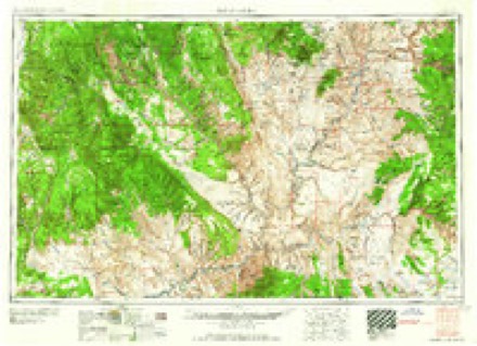
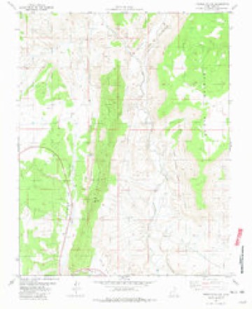
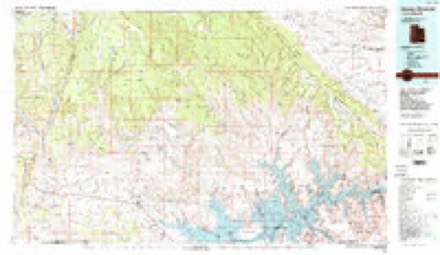
Topographic sheets covering this place
7 surveys from 19 printed sheetsMatched by testing this settlement's coordinate against the published boundary of every sheet in the United States Geological Survey's historical collection. Each opens the scanned sheet at the Survey.
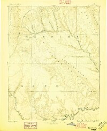
- 1886 USGS Escalante quadrangle1:250000, 5 printings
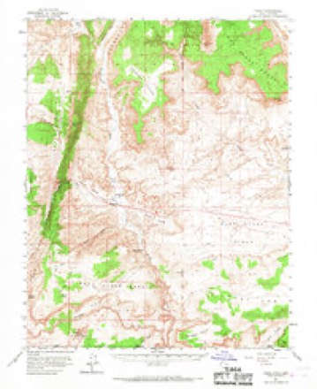
- 1954 USGS Paria quadrangle1:62500, 2 printings
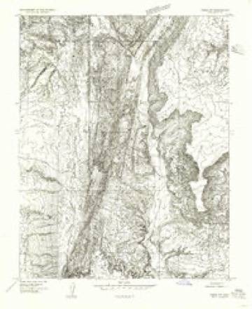
- 1954 USGS Paria NW quadrangle1:24000
- 1956 USGS Escalante quadrangle1:250000, 5 printings
- 1960 USGS Escalante quadrangle1:250000
- 1981 USGS Fivemile Valley quadrangle1:24000, 3 printings
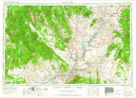
- 1985 USGS Smoky Mountain quadrangle1:100000, 2 printings
Fires near this place
21 since 1992Regional context, not property-specific evidence. The federal wildfire occurrence database lists 21 fires within 5 miles of Paria between 1992 and 2020, burning about 3 acres in total. 17 started naturally. 1 was recorded as arson. Distance is straight-line from the map coordinates, so a fire counted here may appear on a neighbouring settlement's page as well.
| Reported cause | Fires |
|---|---|
| Natural | 17 |
| Missing data/not specified/undetermined | 3 |
| Arson/incendiarism | 1 |
The most recent of them, most recent first, with the day each was reported and the service that recorded it.
| Date | Cause | Size | Reported by | Name on the report |
|---|---|---|---|---|
| 4 September 2003 | Natural | under an acre | Cedar City Field Office | STARLIGHT |
| 2 September 2000 | Natural | under an acre | Cedar City Field Office | BRIGHAM |
| 13 September 2001 | Natural | under an acre | Utah Division Forestry Fire State Lands | MOONER |
| 27 August 1999 | Natural | under an acre | Utah Division Forestry Fire State Lands | POTTERY |
| 25 August 2006 | Arson/incendiarism | under an acre | Cedar City Field Office | MOVIE SET |
| 19 August 2010 | Natural | under an acre | Cedar City Field Office | PARKER |
| 18 August 2013 | Natural | under an acre | Cedar City Field Office | SHACK |
| 16 August 2012 | Natural | under an acre | Cedar City Field Office | MOLLYS |
Mines and quarries near this place
9 within 5 milesRegional context, not property-specific evidence. The federal mineral resources record lists 9 workings within 5 miles of Paria: 5 past producers, 3 occurrences, 1 unknown. None of them still produces. What was taken out: Gemstone, Sand and Gravel, Construction, Uranium, Mercury. Distance is straight-line from the map coordinates, so a quarry counted here may appear on a neighbouring settlement's page as well.
| Where | Site | Commodity | Status | Recorded |
|---|---|---|---|---|
| Unnamed | Mercury | Occurrence | ||
| Movie Town | Uranium | Occurrence | Replacement | |
| Movie Town | Uranium | Past Producer | ||
| Utah Dept Highways Pit No 21017 | Sand and Gravel, Construction | Past Producer | ||
| Utah Dept. Highways Pit #21017 | Sand and Gravel, Construction | Past Producer | Gravel, Sand | |
| Cemetary Deposit | Gemstone | Occurrence | Jasper | |
| Cemetary Deposit | Gemstone | Past Producer | ||
| Vermilion Cliffs | Gemstone | Past Producer | Jasper, Petrified Wood | |
| Vermillion Cliffs | Gemstone | Unknown |
Storms near this place
21 since 1997Regional context, not property-specific evidence. The National Weather Service names Paria in 21 storm reports between 1997 and 2025: 19 flash flood, 1 heavy rain, 1 thunderstorm wind. The reports record 3 injuries. Each account below is quoted exactly as the forecast office filed it, from the NOAA Storm Events Database, and each date opens the federal record of that event.
| When | Event | Place named | Harm | What the report says |
|---|---|---|---|---|
| July 2017 | Flash Flood | Paria | 3 hurt | Heavy rain caused a significant flash flood in Buckskin Gulch. This flood impacted a group of approximately 8 hikers who had set up camp along the gulch; most of the hikers put their tents above the gulch in a safe area, but two people set up their tent upstream in the gulch alone. Shortly after falling asleep, the flood waters reached their tent; while both adults were able to exit the tent, they were carried several hundred feet before coming to a stop on the bank. Another hiker tried to get down to the gulch to save the family members from the flood, and broke both feet in the process due to the rough terrain and drops into the gulch. Eventually the group was able to get assistance for the injured members of the party, and some of them were airlifted from the scene. |
| October 2006 | Flash Flood | Paria | $15,000 | Flooding in Wahweap Creek washed out local roads. Water 4 ft deep reported. |
| August 2014 | Flash Flood | Paria | $5,000 | Flash flooding was reported in both Johnson Canyon and Buckskin Wash, with road damage in multiple locations across the area. |
| September 1997 | Heavy Rain | Paria | $2,000 | no account filed |
| July 2025 | Flash Flood | Paria | - | The USGS Paria River Gauge near Kanab reported a double peak in streamflow to around 1200 CFS on the evening of July 17th. The initial rise in flow was likely associated with storms earlier in the day in the upper Paria River Basin. |
| July 2025 | Flash Flood | Paria | - | A guide for the Paria River reported a large flood wave travelling down the Paria River with the magnitude estimated to be around 3800 CFS. |
| August 2024 | Flash Flood | Paria | - | The Paria River near Kanab gauge jumped from around 15 cfs to 2280 cfs in less than 30 minutes, corresponding to a rise of over 3 ft. |
| August 2024 | Flash Flood | Paria | - | Time is estimated. Hikers were reported stuck after flash flooding and required rescue in Bull Valley Gorge. |
| August 2024 | Flash Flood | Paria | - | A trained spotter reported a large flash flood with water lapping the bottom of the U.S. Highway 89 bridge over the Paria River. |
| August 2023 | Flash Flood | Paria | - | A flash flood was observed on Wahweap Creek. |
| August 2023 | Flash Flood | Paria | - | The Paria River near Kanab gauge recorded a spike to just over 400 cfs. |
| July 2022 | Flash Flood | Paria | - | Heavy rain in portions of the headwaters region of the Paria River resulted in a flow downstream. The Paria River Near Kanab, Utah gauge indicated a rise from 5 CFS to over 520 CFS in a span of 10 minutes, and peaked at 842 CFS, with a rise of over 2 feet. |
| July 2021 | Flash Flood | Paria | - | The Paria - Kanab gauge on the Paria River indicated a 3 foot rise, with peak flows of 1800 CFS. |
| August 2021 | Flash Flood | Paria | - | The Paria River near Kanab gauge rose 3.3 feet, with an increase in flow from 4 CFS to 1790 CFS. |
| July 2018 | Flash Flood | Paria | - | Heavy rain caused a flash flood on the Paria River near the Paria Townsite. |
| August 2018 | Flash Flood | Paria | - | Heavy rain caused a flash flood in the upper drainage of the Paria River. The river was estimated to rise to 1000 CFS near the Old Paria Townsite. |
| July 2018 | Flash Flood | Paria | - | Flash flooding occurred in the city of Kanab due to heavy rain. Local law enforcement reported that sandbagging was necessary in and around town. |
| July 2016 | Thunderstorm Wind | Paria | - | The Telegraph Flat RAWS recorded a maximum wind gust of 62 mph. |
| May 2015 | Flash Flood | Paria | - | Flash flooding occurred along the Paria River, with a peak flow of 2050 cfs recorded at the Paria River gauge near Kanab. |
| August 2010 | Flash Flood | Paria | - | Heavy rain caused the Paria River to increase from 20 cfs to 4000 cfs. Travel time on the flood was a little more than 6 hours, with the majority of the rain falling just southeast of Bryce Canyon National Park. |
| July 2003 | Flash Flood | Paria | - | no account filed |
Nearest settlements
The eight closest, with where each one stands in the county. Distances are straight-line, computed from the Geographic Names Information System coordinates.
| Map | Place | Distance | Sheets |
|---|---|---|---|
| Big Water | 18.9 miles | 17 | |
| Georgetown | 20.6 miles | 16 | |
| Alton | 31.2 miles | 14 | |
| Kanab | 33.6 miles | 17 | |
| Long Valley Junction | 34.1 miles | 16 | |
| Glendale | 34.7 miles | 15 | |
| Orderville | 36.5 miles | 15 | |
| Mount Carmel | 37.9 miles | 15 |
Elsewhere
Matched on this settlement's Geographic Names Information System number rather than its name, so it cannot be a different place of the same name in another state.
| Wikipedia article on Paria | An encyclopaedic summary. Its text is share-alike, so it is linked here rather than copied. |
| Wikidata item Q7136991 | The structured record the population and elevation above come from. Public domain (CC0). |
Provenance
This settlement is recorded in the Geographic Names Information System as feature 1455097. The sheet list is computed by point-in-boundary test against the United States Geological Survey's historical topographic inventory. Both are works of the United States government and carry no copyright under 17 U.S.C. 105.
Wildfire. Short, Karen C. 2022. Spatial wildfire occurrence data for the United States, 1992-2020 [FPA_FOD_20221014]. 6th Edition. Fort Collins, CO: Forest Service Research Data Archive. https://doi.org/10.2737/RDS-2013-0009.6 Collected with United States Government funding and usable without additional permissions or fees.
Mines and quarries. USGS Mineral Resources Data System (MRDS) https://mrdata.usgs.gov/mrds/ A work of the United States government, no copyright under 17 U.S.C. 105.
Storms. NOAA National Centers for Environmental Information, Storm Events Database https://www.ncei.noaa.gov/stormevents/ A work of the United States government, no copyright under 17 U.S.C. 105. Narratives are quoted verbatim from the National Weather Service report and are not edited or summarised.