 Block
From the record
20 National Register listings published here.
Sources: the National Register database, National Park Service
87 topographic sheets and 9 fire insurance atlases across 4 places.
20 National Register listings published here.
Sources: the National Register database, National Park Service
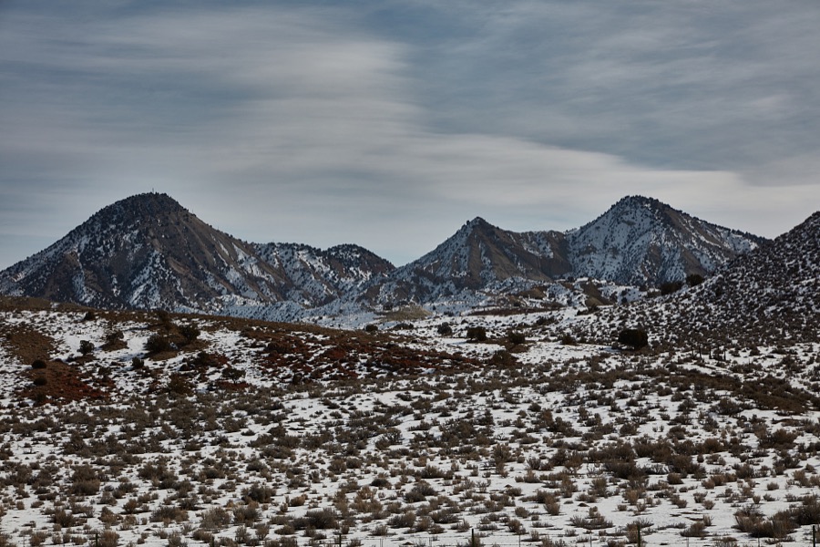
Taken for the Office of War Information and the Farm Security Administration, who photographed the country between 1935 and 1944. Works of United States government photographers, with no known restriction on use. Each opens its catalogue record.
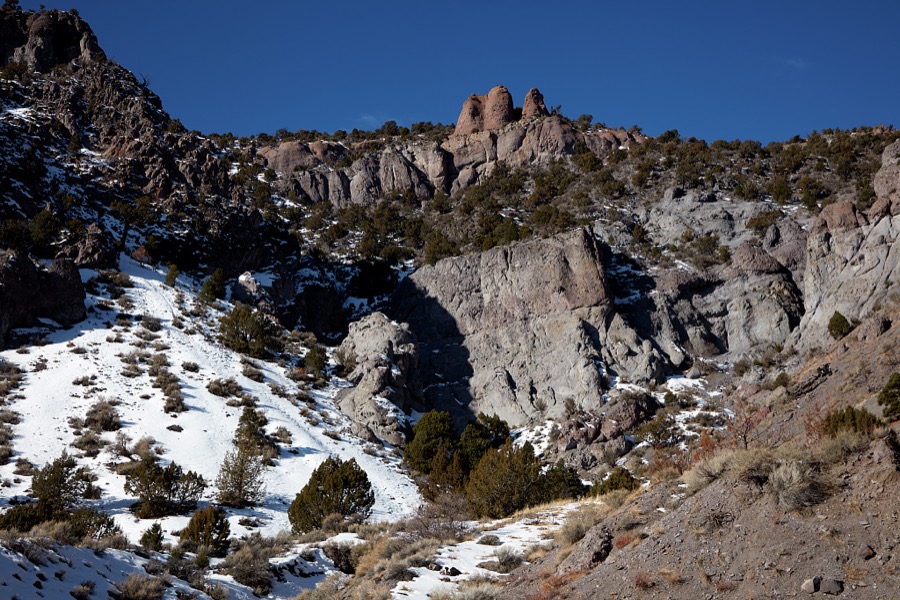
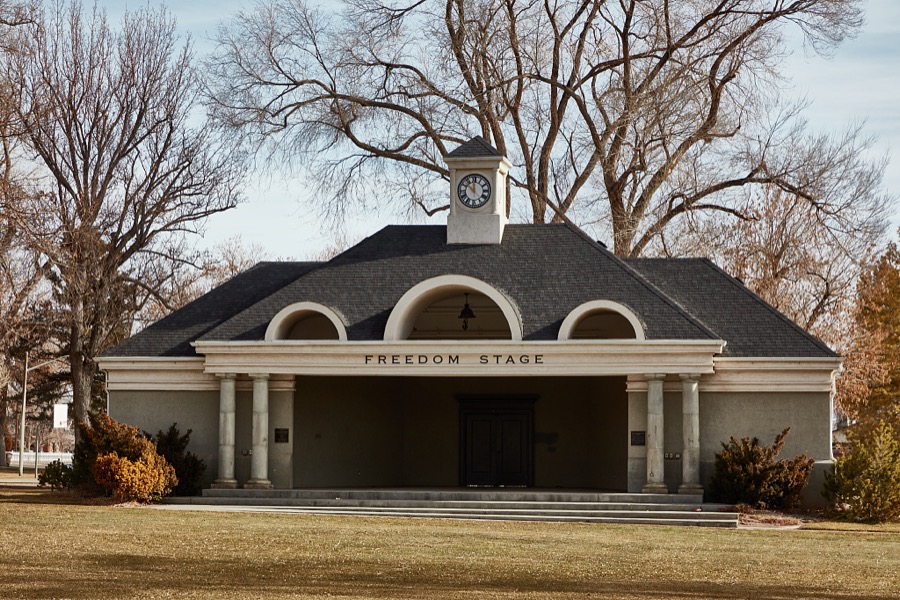
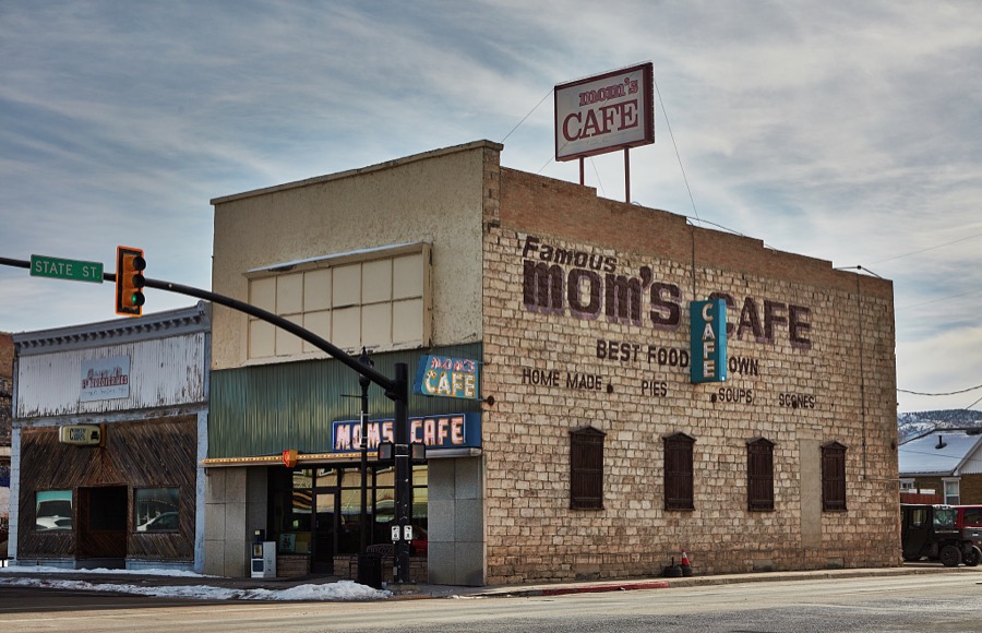
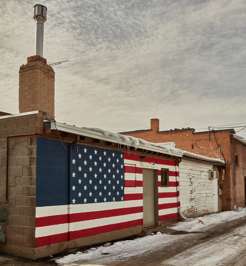
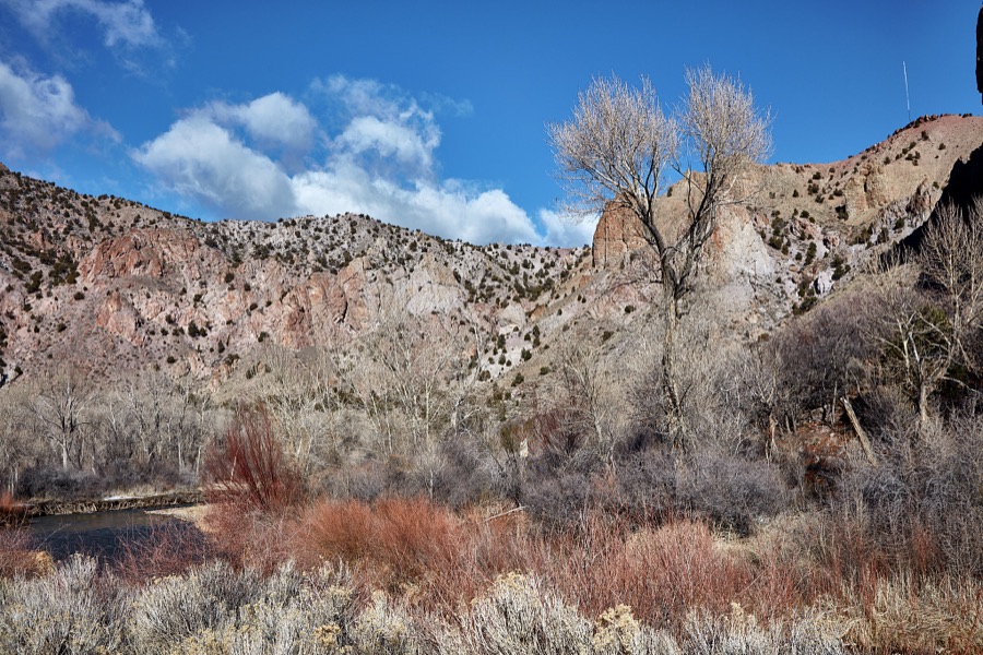

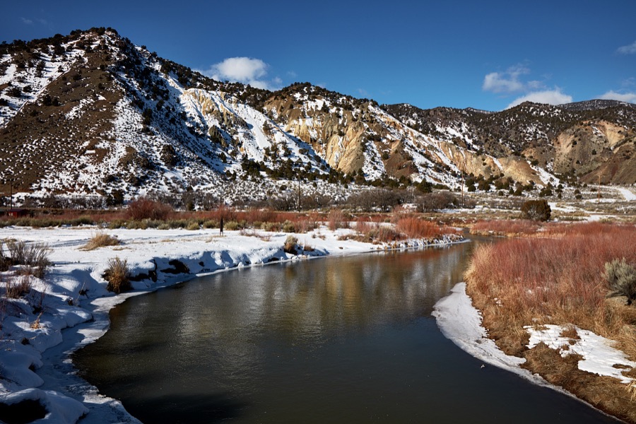
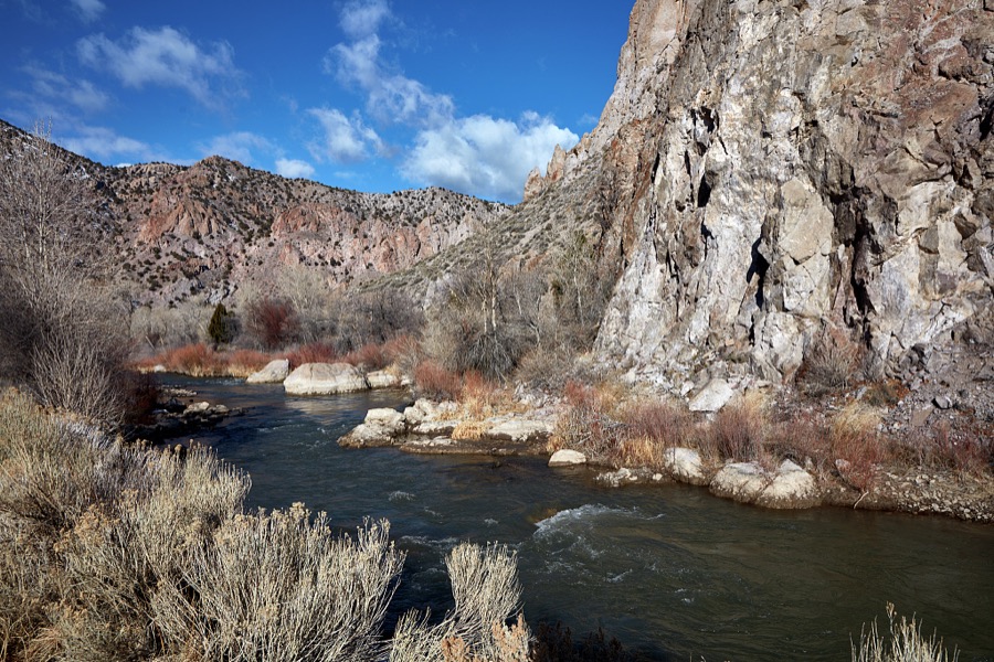
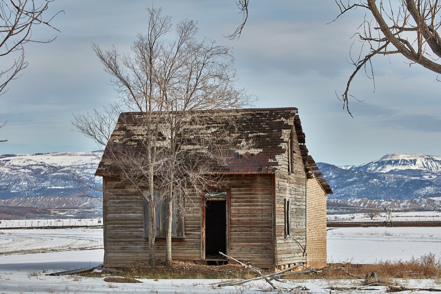
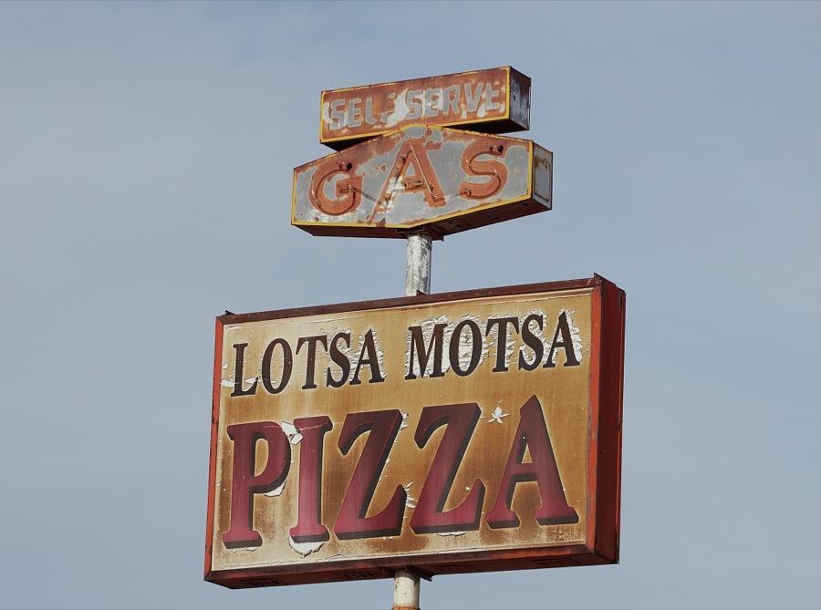
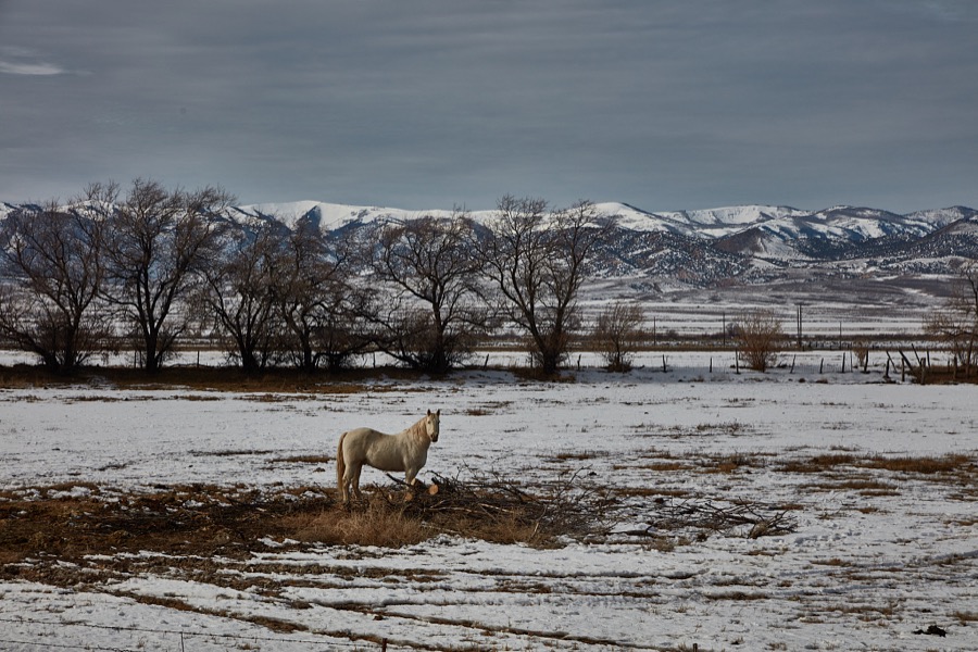
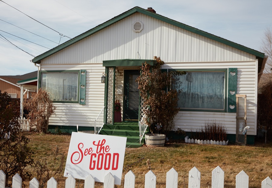
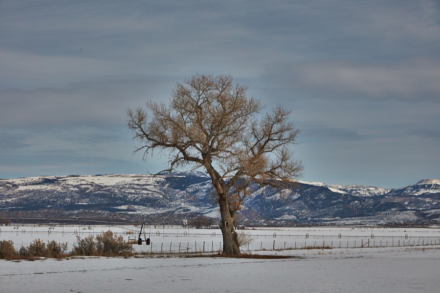

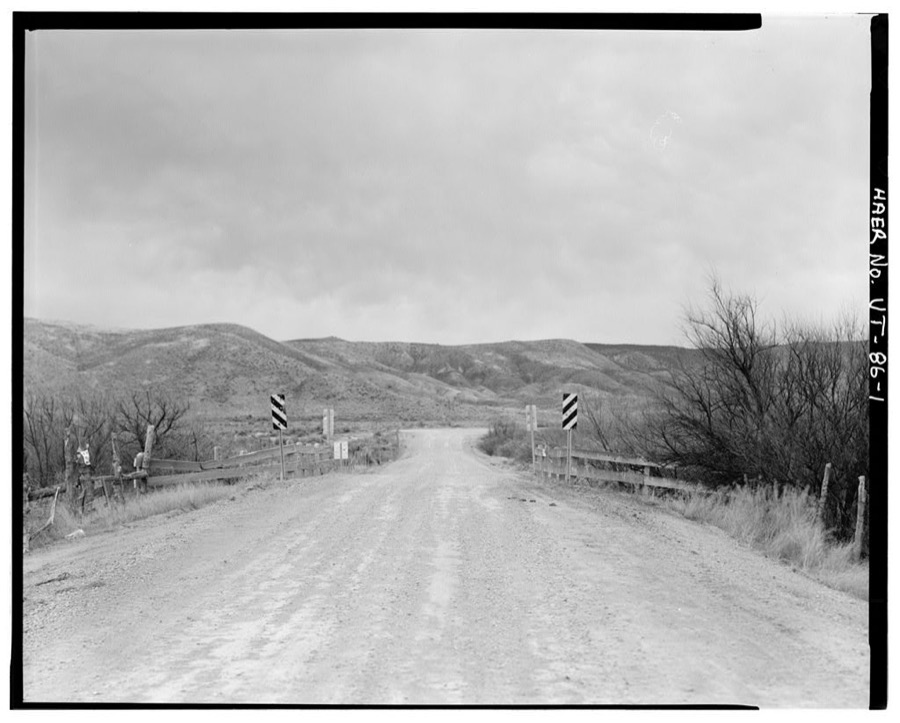
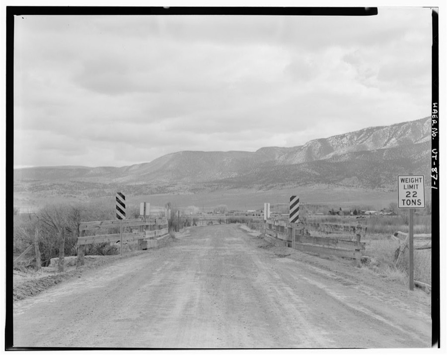
Every property in this county listed on the National Register of Historic Places, with the year it was listed and the federal nomination document.
| Photograph | Property | Type | Listed | Reference |
|---|---|---|---|---|
 | Elsinore Sugar Factory | building | 1980 | 80003959 |
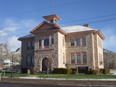 | Elsinore White Rock Schoolhouse | building | 1978 | 78002692 |
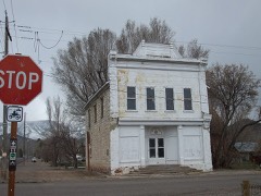 | Glenwood Cooperative Store | building | 1980 | 80003960 |
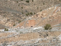 | Jens Larson Jenson Lime Kiln | structure | 1978 | 78002693 |
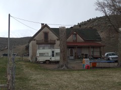 | Martin Johnson House | building | 1982 | 82001757 |
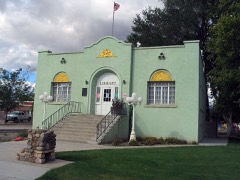 | Monroe City Hall | building | 1985 | 85000814 |
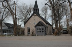 | Monroe Presbyterian Church | building | 1980 | 80003963 |
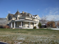 | Joseph William Parker Farm | building | 1977 | 77001318 |
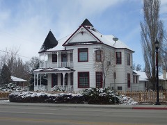 | Peterson-Burr House | building | 1994 | 94000037 |
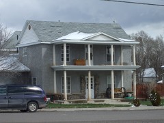 | Redmond Hotel | building | 1980 | 80003964 |
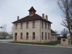 | Redmond Town Hall | building | 1976 | 76001836 |
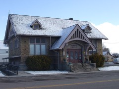 | Richfield Carnegie Library | building | 1984 | 84000153 |
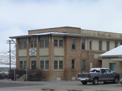 | Salina Hospital | building | 1980 | 80003966 |
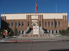 | Salina Municipal Building and Library | building | 1986 | 86000742 |
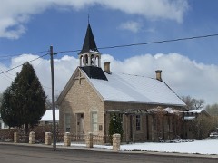 | Salina Presbyterian Church | building | 1980 | 80003967 |
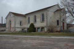 | Sevier Ward Church | building | 1980 | 80003969 |
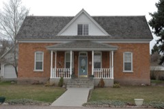 | Soren Simonsen House | building | 1982 | 82001758 |
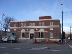 | US Post Office-Richfield Main | building | 1989 | 89001999 |
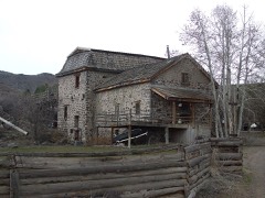 | Joseph Wall Gristmill | building | 1980 | 80003961 |
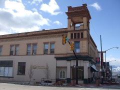 | Young Block | building | 1980 | 80003965 |
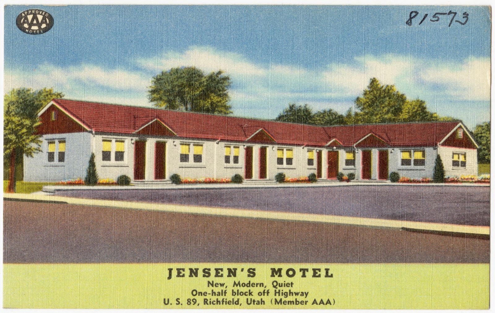
Selected from the Digital Public Library of America's 13 image records catalogued for this county. Every one shown here carries a public-domain status or a licence that permits reuse on a site that carries advertising; non-commercial, share-alike and restricted images are excluded. The selection is spread across the county's towns (at most eight per town), so no single institution's bulk upload crowds out the rest. Each opens the holding library's record, and the complete set at the Digital Public Library of America is one click away.
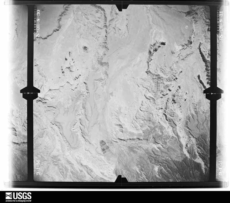
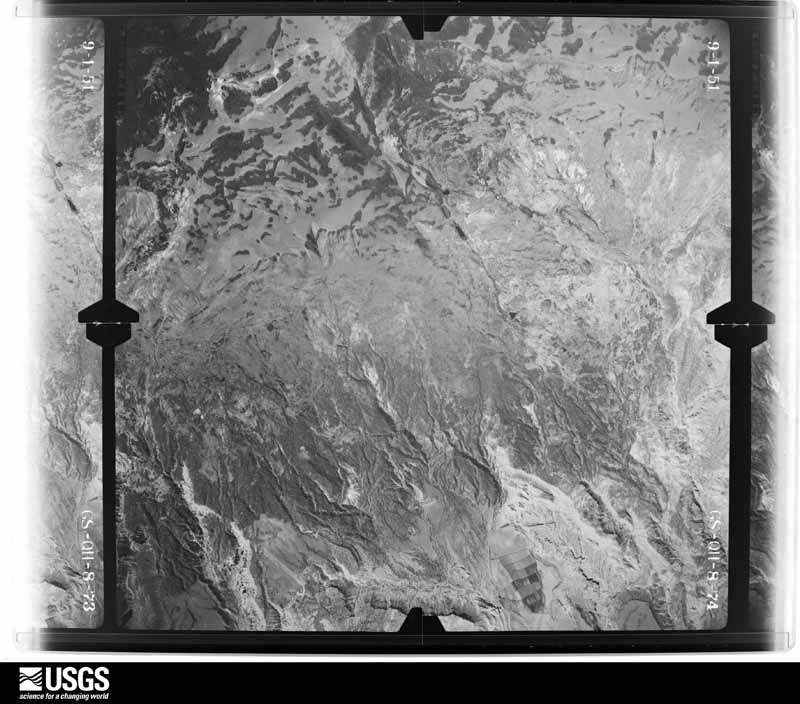
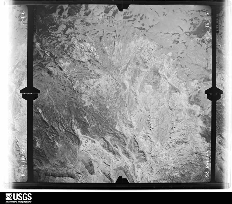
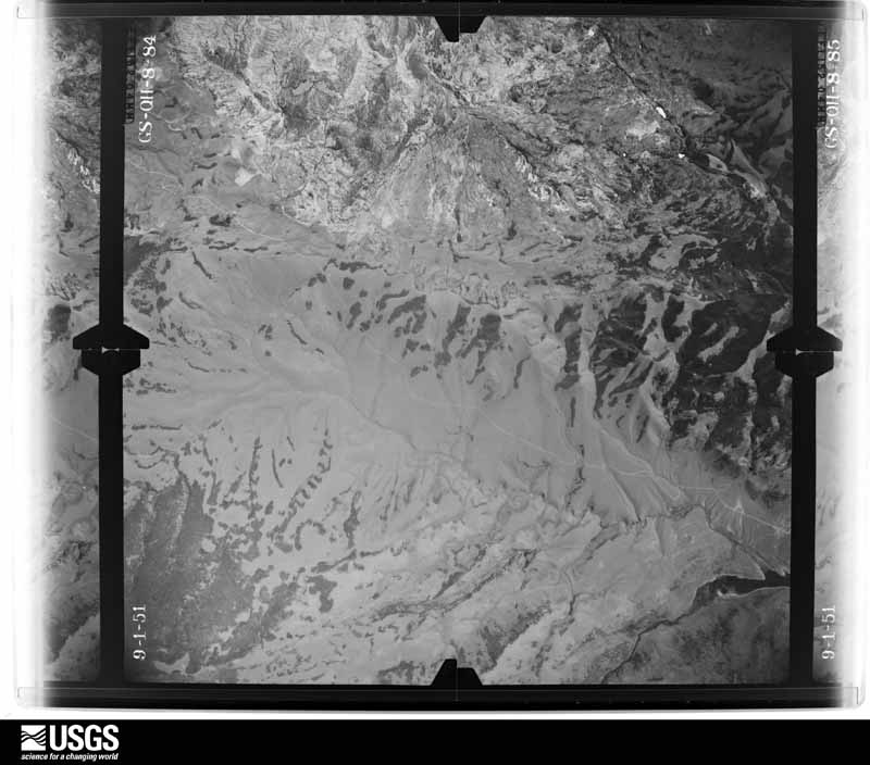
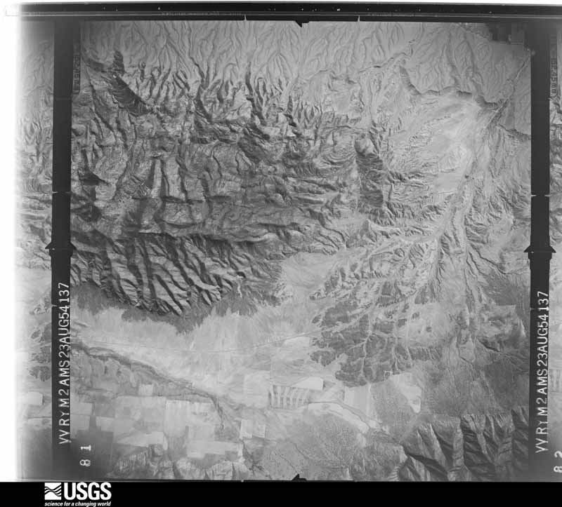
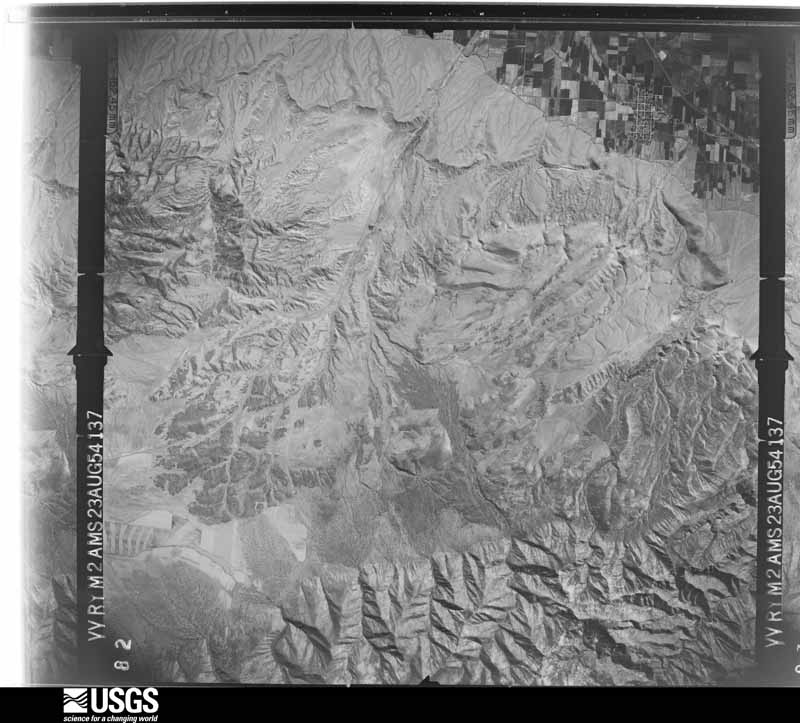
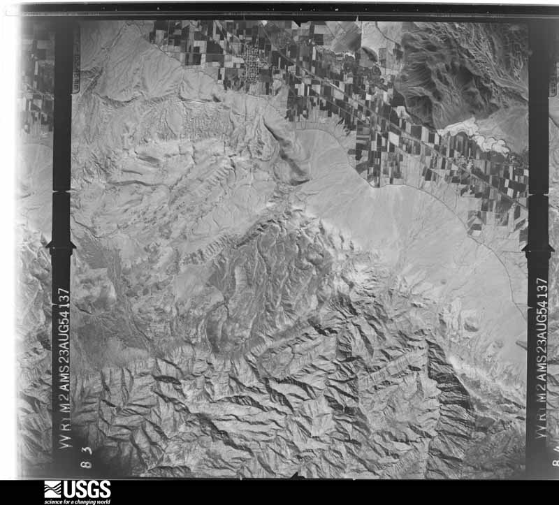
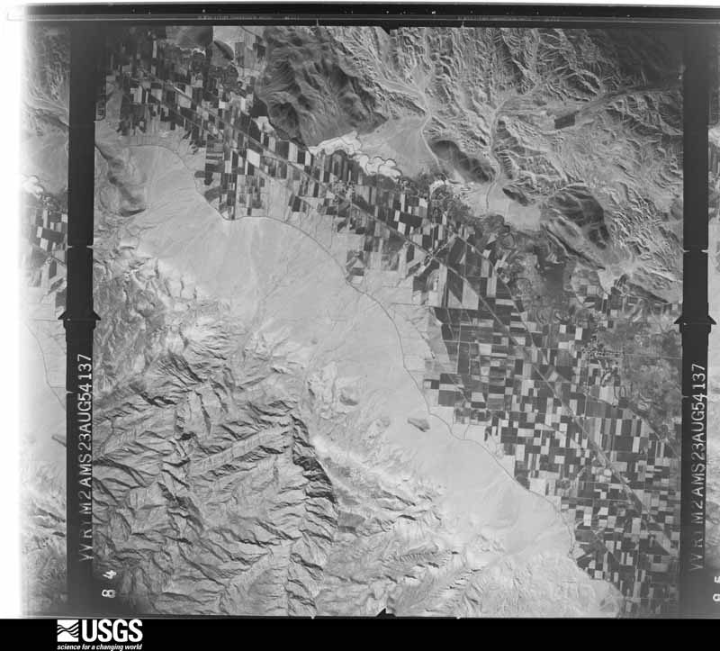
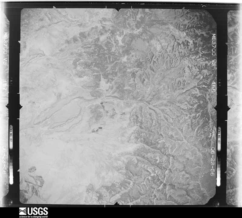
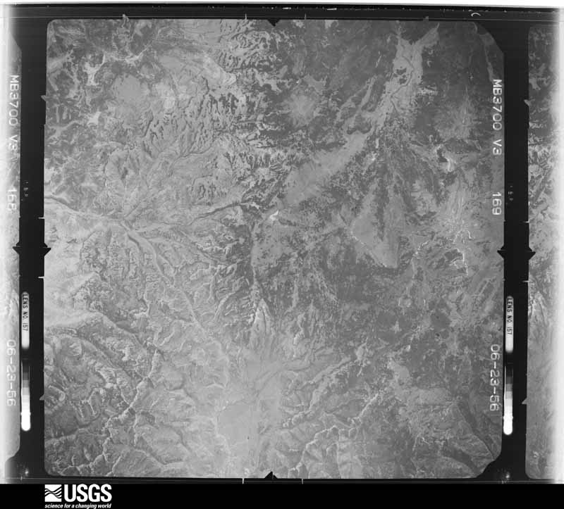
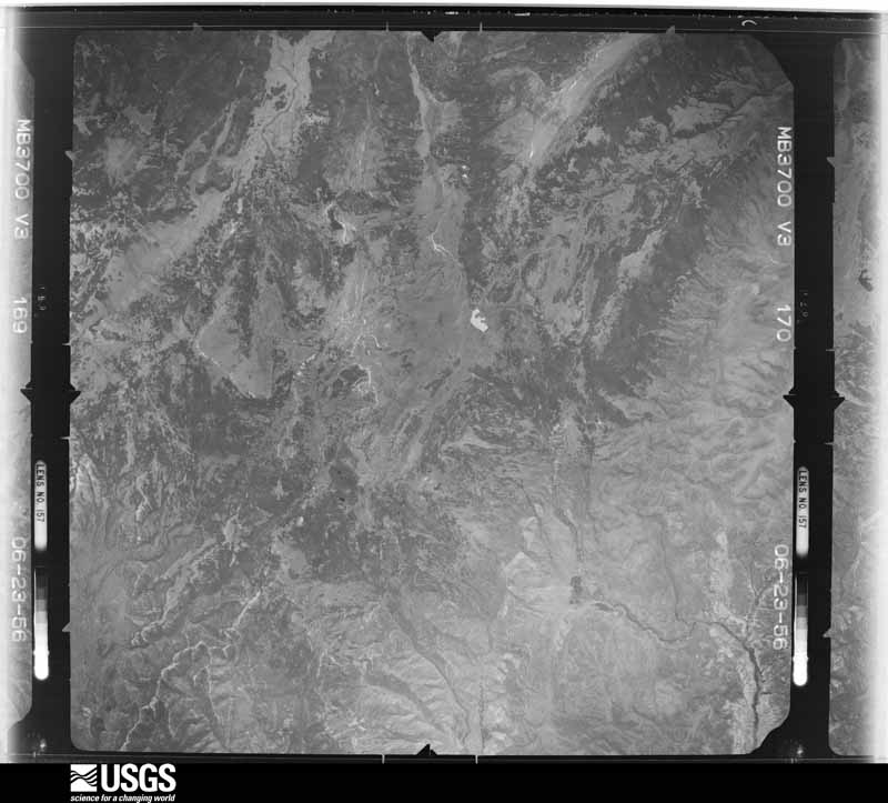
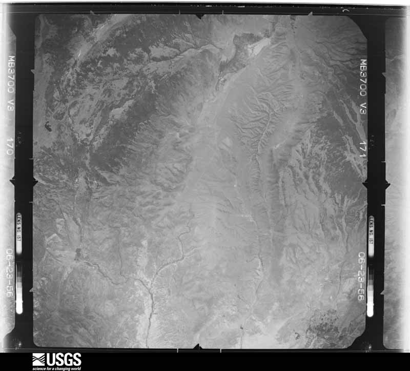
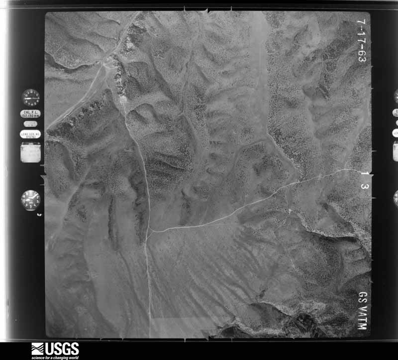
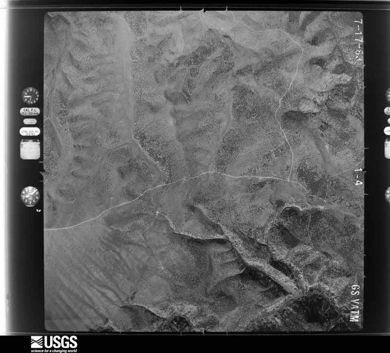
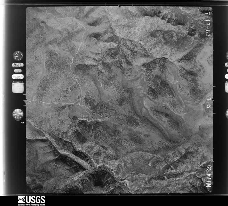
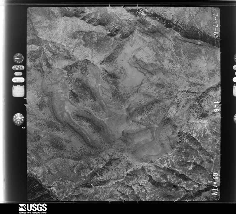
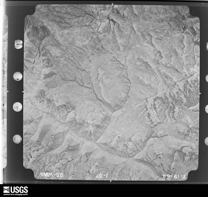
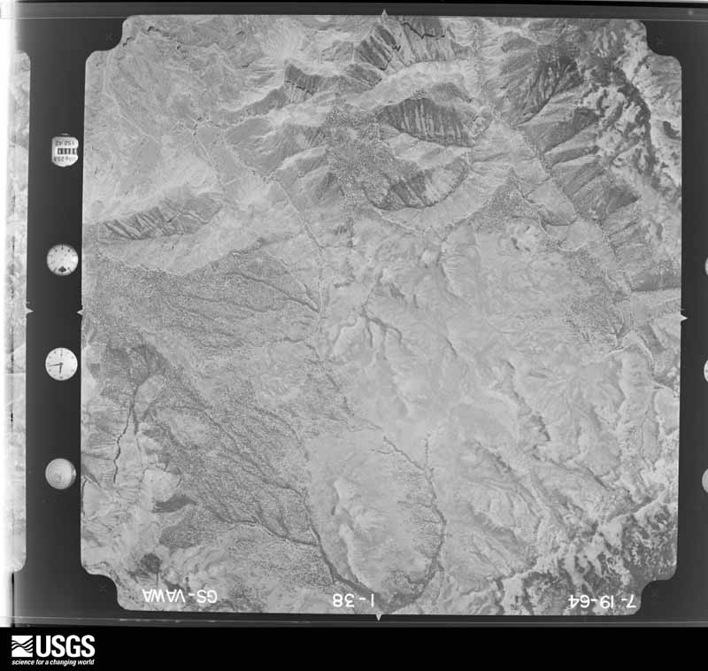
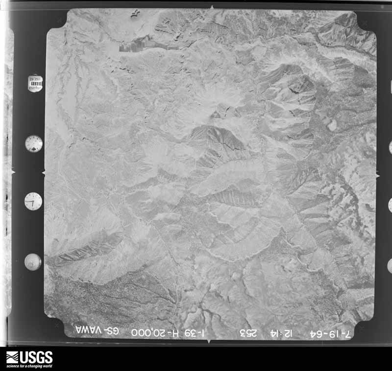
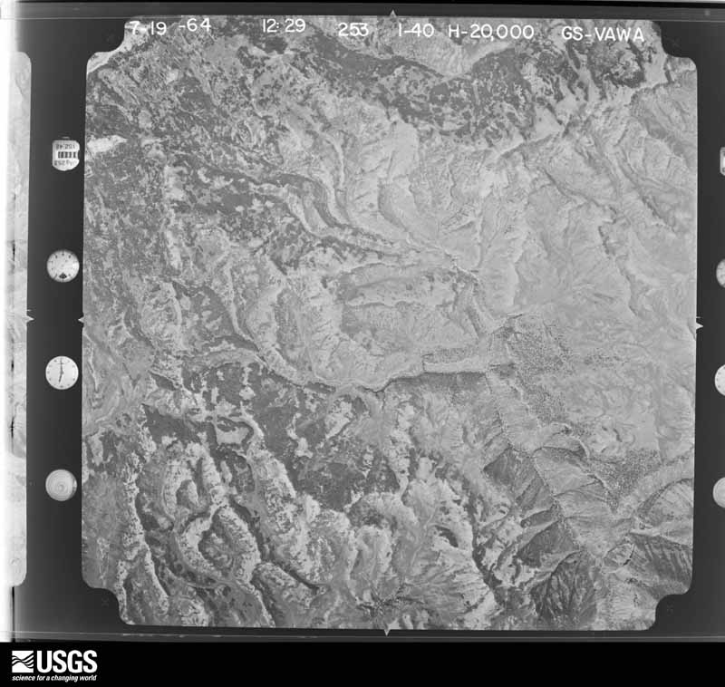
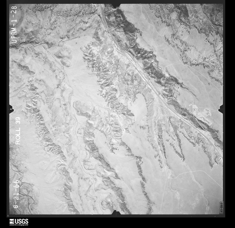
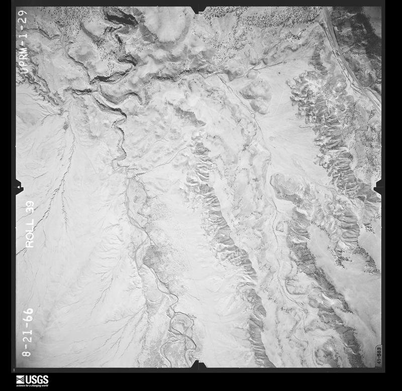
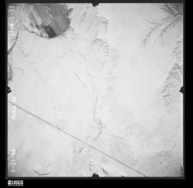
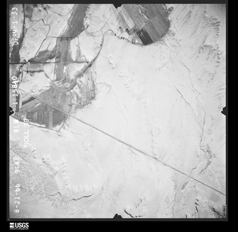
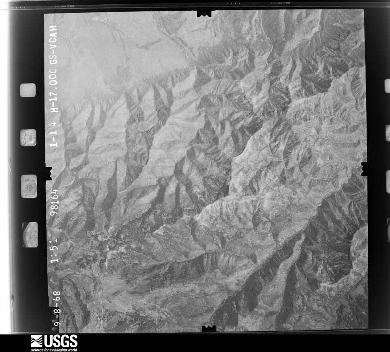
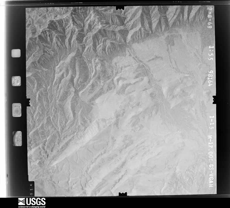
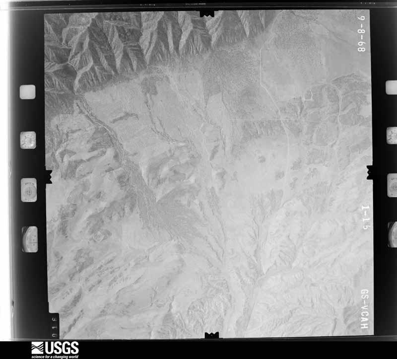
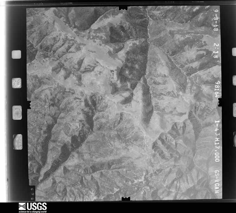
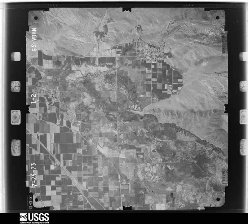
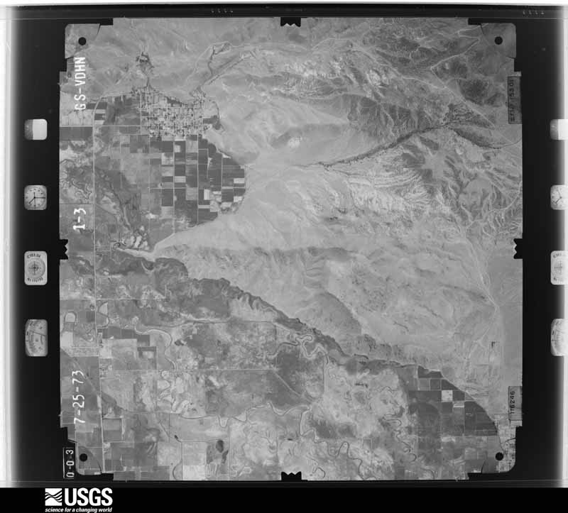
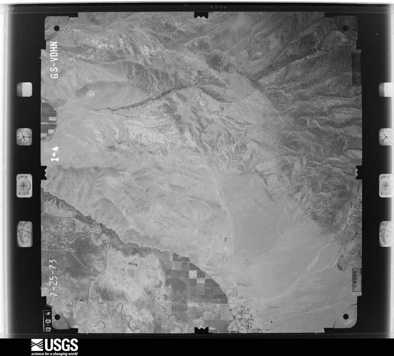
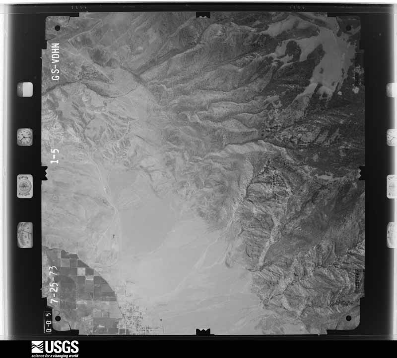
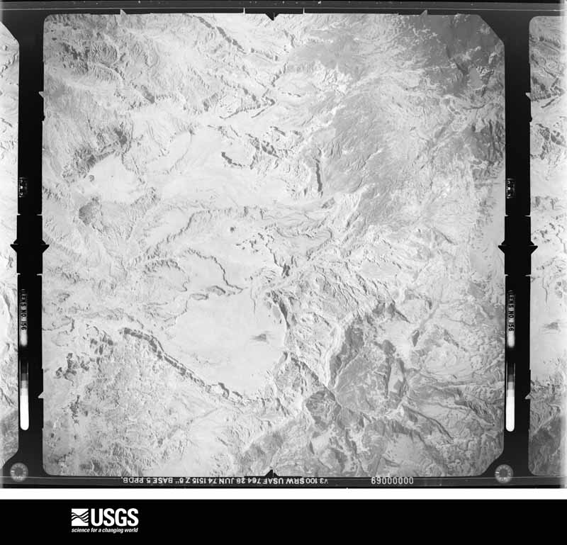
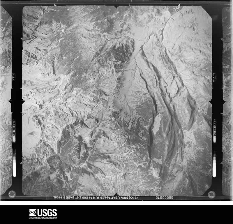
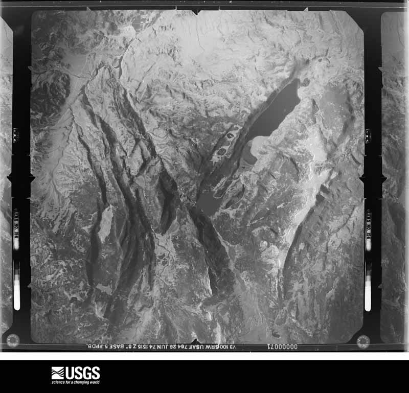
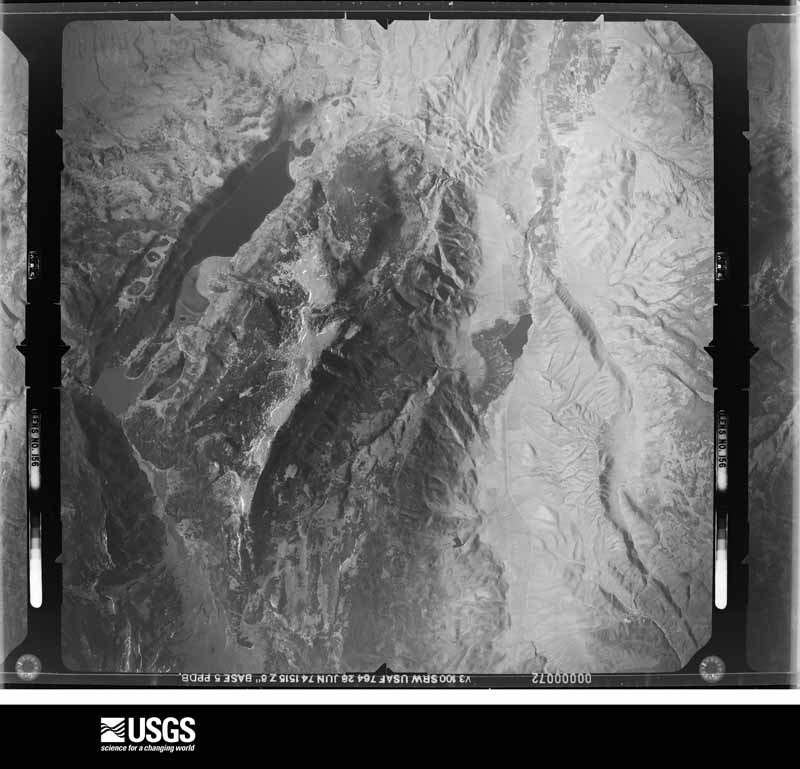
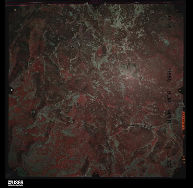
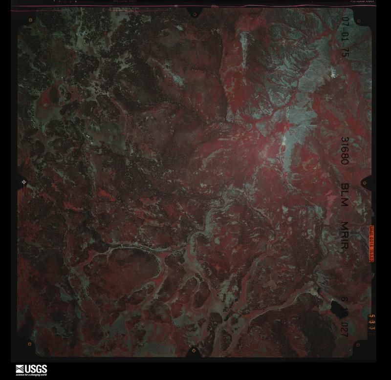
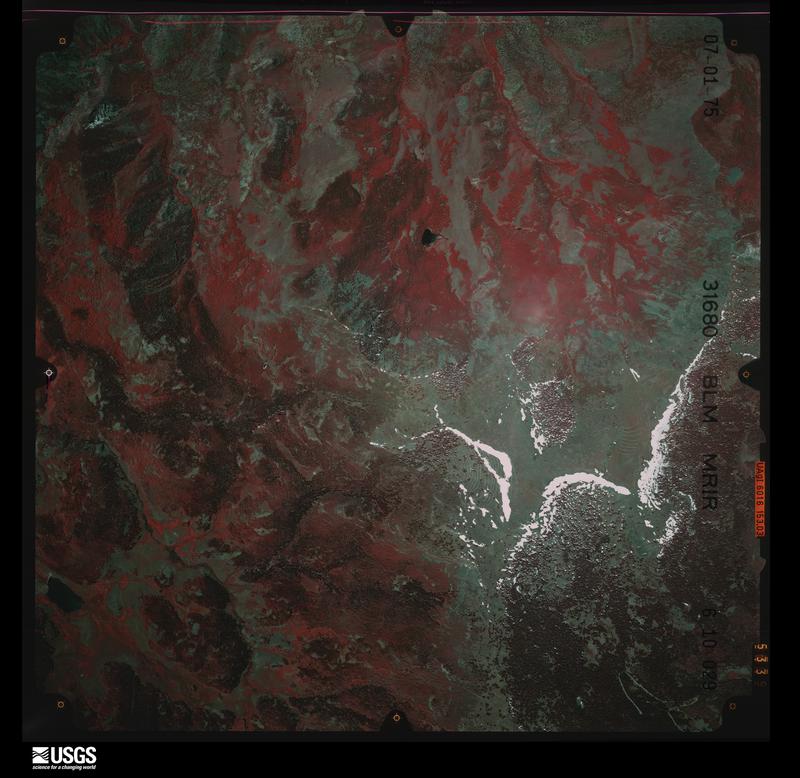
Flown by the U.S. Geological Survey between 1937 and 1989, the Aerial Photo Single Frames collection is the definitive mid-century view of the land: fields, roads and rivers as the camera saw them. The Survey holds 2,373 frames inside the rectangle that bounds this county; the 48 frames below were taken over the county itself, chosen across the decades of flights (at most four a year from that rectangle), so one flight cannot crowd out the rest. The full set is free to browse and download at EarthExplorer under the dataset Aerial Photo Single Frames.

The thermometers that kept this county's weather, and the gages that measured the flow of its streams, as the federal records hold them. The extremes below are measured values from those records, not estimates.
Who lived here in 1950, one enumeration district at a time, as the Census Bureau described each district. Each row opens its official National Archives result, with Population Schedules and ED Maps available there.
Every wildfire the federal occurrence database records inside this county: 1,059 of them, burning about 34,095 acres. 727 started naturally and 27 were recorded as arson. Each settlement page carries the fires within five miles of it.
| Reported cause | Fires |
|---|---|
| Natural | 727 |
| Missing data/not specified/undetermined | 115 |
| Recreation and ceremony | 65 |
| Equipment and vehicle use | 47 |
| Debris and open burning | 41 |
| Arson/incendiarism | 27 |
| Firearms and explosives use | 10 |
| Smoking | 8 |
| Fireworks | 8 |
| Misuse of fire by a minor | 7 |
| Power generation/transmission/distribution | 4 |
The five largest, by the area the report gives. None of them was recorded as arson.
| Date | Cause | Size | Reported by | Name on the report |
|---|---|---|---|---|
| 15 July 1997 | Natural | 5,425 acres | Richfield Field Office | FLAT |
| 20 June 2018 | Equipment and vehicle use | 4,583 acres | Richfield Field Office | WILLOW PATCH |
| 20 August 2016 | Equipment and vehicle use | 3,106 acres | Richfield Field Office | SAND LEDGES |
| 30 July 2009 | Natural | 2,475 acres | Fishlake National Forest | SOLOMON BASIN |
| 19 July 2015 | Natural | 2,175 acres | Fishlake National Forest | SOLITUDE |
| 28 August 2002 | Natural | 1,844 acres | Fishlake National Forest | JOHNSON |
| 19 June 2012 | Firearms and explosives use | 1,535 acres | Richfield Field Office | GLENANNA |
| 20 July 2006 | Natural | 1,424 acres | Fishlake National Forest | SOUTH WATER HOLLOW |
Every settlement page carries the fires within five miles of it - see the settlement index below.
The NOAA Storm Events Database holds 57 reports for this county, causing 1 death, 3 injuries and about $1,345,250 in recorded property damage. Each settlement page carries the reports that name it.
| Kind of event | Reports |
|---|---|
| Thunderstorm Wind | 29 |
| Flash Flood | 12 |
| Hail | 8 |
| Tornado | 2 |
| Lightning | 2 |
| Flood | 2 |
| Wildfire | 1 |
| Heavy Rain | 1 |
The most serious of them, by death, then injury, then recorded damage. The accounts are quoted exactly as the forecast office filed them.
| When | Event | Place named | Harm | What the report says |
|---|---|---|---|---|
| July 1997 | Wildfire | Monroe | 1 killed, $20,000 | no account filed |
| April 1970 | Tornado (F1) | not stated | 1 hurt, $250 | no account filed |
| July 2008 | Lightning | Richfield | 1 hurt | A woman was injured at the Cove View Golf Course in Richfield when lightning hit a nearby tree and traveled to her. The woman was conscious and breathing when she was taken to a nearby hospital. |
| June 2005 | Lightning | Salina | 1 hurt | Construction Worker hit by lightning. Extent of injuries unknown. |
| July 2018 | Flash Flood | Richfield | $1,000,000 | Heavy rain caused flash flooding that damaged fields and homes in Richfield, including 260 acres of a 320 acre property used for farming and growing sod. |
| June 2011 | Flood | Monroe | $150,000 | The Sevier River at Sigurd peaked at 1728 cfs on June 1st, then remained above flood stage for more than a week after that as it slowly receded. Many roads across Sevier county continued to be impacted and damaged, including State Road 118 between Joseph and Monroe, the Sevier River Road between Central Valley and Annabella, and Seegmiller Lane near Richfield. In addition, flood waters seeped into about a dozen homes, while threatening more than a dozen others. |
| May 2011 | Flood | Salina Gunnison Arpt | $100,000 | Flooding occurred along the Sevier River, with the gauge at Sigurd topping flood stage on May 23rd, and slowly rising through the rest of the month with the accelerated snowmelt. This flooding effected low lying roads and bridges, including Sevier River Road and Nebeker Lane. Both of these roads were closed for several weeks, and Nebeker Lane suffered severe damage due to the flood waters. Note that this event continued into June. |
| August 1957 | Tornado | not stated | $25,000 | no account filed |
| August 1996 | Flash Flood | Freemont Junction | $20,000 | no account filed |
| August 2007 | Flash Flood | Salina Gunnison Arpt | $10,000 | Heavy rains sent a mudslide across US-89, forcing a road closure near Willow Creek Canyon. Other smaller slides were reported in the area. |
| July 2002 | Thunderstorm Wind | Monroe | $10,000 | A strong thunderstorm ripped through the Sevier Valley, knocking down a 200-foot section of building in Richfield, and blowing down large trees in Monroe. The strongest recorded wind gust was 48 mph (42 kts), but stronger gusts likely occurred with this storm. |
| September 1997 | Flash Flood | East Central Portion | $7,000 | no account filed |
| June 2016 | Thunderstorm Wind | Richfield | $3,000 | The Sevier County public safety dispatch reported that a couple of large trees were knocked down by strong thunderstorm winds in Richfield. |
| July 2025 | Thunderstorm Wind | Annabella | - | The Bull Claim Hill mesonet station recorded a wind gust of 59 mph as a result of outflow winds associated with a nearby cluster of showers and thunderstorms moving through the area. |
| October 2025 | Thunderstorm Wind | Richfield | - | A wind gust of 61 mph was recorded at the I-70 at Richfield mesonet site. |
| July 2024 | Thunderstorm Wind | Annabella | - | The Bull Claim Hill mesonet station recorded a peak wind gust of 65 mph as a result of outflow winds associated with a nearby cluster of showers and thunderstorms moving through the area. A preceding gust of 60 mph was also recorded. |
| July 2024 | Thunderstorm Wind | Vermillion | - | The I-70 at Salina mesonet station recorded a wind gust of 59 mph as a result of outflow winds associated with a nearby cluster of showers and thunderstorms moving through the area. |
| June 2024 | Thunderstorm Wind | Vermillion | - | A wind gust of 63 mph was measured at the I-70 at Salina mesonet station. |
| July 2023 | Thunderstorm Wind | Richfield | - | The I-70 at Richfield mesonet station recorded a wind gust of 64 mph as a result of outflow winds associated with a nearby cluster of showers and thunderstorms moving through the area. |
| July 2023 | Thunderstorm Wind | Richfield | - | The I-70 at Richfield mesonet station recorded a wind gust of 58 mph as a result of outflow winds associated with a nearby cluster of showers and thunderstorms moving through the area. |
| May 2022 | Thunderstorm Wind | Richfield | - | The I-70 at Richfield automated weather station recorded a peak wind gust of 59 mph. |
| June 2022 | Thunderstorm Wind | Burrville | - | A wind gust of 59 mph was recorded by the State Route 72 at Hogan Pass automated weather station. |
| June 2021 | Thunderstorm Wind | Burrville | - | A peak wind gust of 58 mph was recorded by the state Route 72 at Hogan Pass sensor. |
| July 2021 | Heavy Rain | Richfield | - | Widespread standing water and urban flooding was reported in Richfield. Radar estimates indicated 1-1.25 inches of rain over a brief period. |
| May 2020 | Thunderstorm Wind | Monroe | - | Signal Peak RAWS station reported a peak wind gust of 60 mph. |
| July 2020 | Thunderstorm Wind | Monroe | - | A peak wind gust of 60 mph was recorded by the Signal Peak sensor. |
| July 2020 | Thunderstorm Wind | Vermillion | - | A peak wind gust of 60 mph was recorded by the Sigurd sensor. |
| June 2020 | Thunderstorm Wind | Glenwood | - | The Glenwood 7 E station recorded a peak wind gust of 61 mph. |
| June 2020 | Thunderstorm Wind | Monroe | - | The Monroe sensor recorded a peak wind gust of 64 mph. |
| August 2019 | Thunderstorm Wind | Vermillion | - | The I-70 at Salina sensor recorded a peak wind gust of 61 mph. |
| May 2018 | Thunderstorm Wind | Monroe | - | The Signal Peak RAWS recorded a peak wind gust of 60 mph. |
| August 2018 | Flash Flood | Glenwood | - | Heavy rain caused a debris flow on the Willow Patch Fire burn scar. Due to this debris flow, state Route 24 was temporarily impassible between mileposts 17 and 18. |
| July 2017 | Flash Flood | Burrville | - | Heavy rain north of Capitol Reef National Park, with radar estimates of over 3 inches of rain, caused flash flooding along State Route 72. |
| June 2016 | Thunderstorm Wind | Vermillion | - | The I-70 at Salina sensor measured a maximum wind gust of 80 mph. |
| May 2014 | Thunderstorm Wind | Salina | - | The Fremont Junction sensor recorded a peak wind gust of 58 mph. |
| May 2012 | Thunderstorm Wind | Monroe | - | The Signal Peak RAWS recorded a maximum wind gust of 59 mph. |
| September 2012 | Thunderstorm Wind | Salina | - | A maximum wind gust of 60 mph was recorded at the Fremont Junction sensor. |
| August 2011 | Flash Flood | Cove | - | Flash flooding occurred along Clear Creek Canyon Road near Fremont Indian State Park. This flooding was exacerbated by the rain falling on an old burn scar, which allowed debris to flow over the road. |
| August 2010 | Flash Flood | Burrville | - | Heavy rain caused a flash flood at the Ivie Creek rest area, located at mile post 87 along I-70, with water and debris flowing into the rest area. |
| August 2010 | Flash Flood | Koosharem | - | Heavy rain north of Koosharem caused a mudslide that blocked SR-62 near milepost 40. All lanes along the highway were closed until the slide could be cleaned up. |
| August 2009 | Thunderstorm Wind | Glenwood | - | The Lost Creek RAWS recorded a wind gust of 65 mph. |
| September 2009 | Thunderstorm Wind | Salina | - | The Fremont Junction sensor recorded a wind gust of 60 mph. |
| August 2006 | Flash Flood | Sevier | - | Road washed out in Marysvale Canyon along Rt 89. |
| July 2003 | Flash Flood | Richfield | - | A flash flood brought mud, rock and other debris across a frontage road of Interstate 15 about 3 miles south of Richfield. |
| May 2003 | Thunderstorm Wind | Richfield | - | A microburst wind gust to 58 mph (50 kts) was measured at Signal Peak near Richfield as a cold front moved through the area. |
| June 2002 | Thunderstorm Wind | Salina | - | Strong microburst winds moved through Salina early in the afternoon. |
| July 2001 | Hail | Monroe | - | Monroe reported 3/4" hail from a severe thunderstorm. |
| June 2000 | Flash Flood | Aurora | - | A sudden downburst from a thunderstorm produced flash flooding down the gorges of the hills on the west side of Aurora. The water soon filled the canals that go through town. The canal bank broke in 3 places, causing the State road department to be called out to repair the damage. The Denmark Wash overflowed a road leading to some homes, and flooded some farmyards. No injuries or damage was reported. |
| March 1998 | Thunderstorm Wind | Monroe | - | no account filed |
| April 1992 | Hail | not stated | - | no account filed |
| May 1992 | Hail | not stated | - | no account filed |
| May 1992 | Hail | not stated | - | no account filed |
| July 1987 | Thunderstorm Wind | not stated | - | no account filed |
| August 1986 | Hail | not stated | - | no account filed |
| July 1985 | Hail | not stated | - | no account filed |
| August 1983 | Hail | not stated | - | no account filed |
| August 1983 | Hail | not stated | - | no account filed |
The Survey's mineral resources record lists 258 workings inside this county. 80 still produce and 178 are closed or unrecorded. Each settlement page carries the workings within five miles of it.
| Commodity | Workings |
|---|---|
| Sand and Gravel, Construction | 143 |
| Uranium | 33 |
| Aluminum | 15 |
| Gypsum-Anhydrite | 10 |
| Manganese | 10 |
| Clay | 6 |
| Iron | 5 |
| Gold, Silver | 4 |
| Potassium, Aluminum | 3 |
| Silver | 3 |
| Halite | 3 |
| Limestone, Dimension | 3 |
| Gold | 3 |
| Kaolin | 2 |
The least common of them first, because a county's hundredth gravel pit says nothing its first ten did not.
| Where | Site | Commodity | Status | Recorded |
|---|---|---|---|---|
| Al Kee Mee Deposit | Aluminum, Potassium, Kaolin | Occurrence | 1915 | |
| Bbb | Uranium, Diatomite | Occurrence | Sedimentary | |
| Big Chief | Aluminum, Iron, Titanium, Metal | Occurrence | Replacement | |
| Copper Cap Prospect | Uranium, Aluminum | Occurrence | Vein | |
| Freedom No. 2 | Molybdenum, Uranium | Occurrence | Ilsemannite, Jordisite, Umohoite | |
| La Veta | Uranium, Fluorine-Fluorite | Occurrence | ||
| La Veta | Molybdenum | Occurrence | Molybdenite | |
| Laveta Mine | Uranium, Fluorine-Fluorite, Molybdenum | Past Producer | Torbernite, Tyuyamunite, Uraninite | |
| Laveta Prospect | Fluorine-Fluorite | Past Producer | 1941 | |
| Lead Hill | Lead, Zinc, Copper, Strontium | Past Producer | Replacement | |
| Lead Hill Mine | Silver, Zinc, Lead, Copper | Past Producer | 1908 | |
| Mickey #2 | Uranium, Silver | Occurrence | ||
| Monroe Hot Springs | Geothermal | Unknown | ||
| Quartzite Cap Manganese Mine | Manganese, Iron, Aluminum | Past Producer | Limonite | |
| Redmond Silver Mine | Zinc, Lead | Past Producer | Hydrozincite, Smithsonite | |
| Redmond Silver Mine | Zinc, Silver, Lead | Past Producer | 1915 | |
| Royal Purple Prospect | Gold, Fluorine-Fluorite | Occurrence | Vein | |
| Trinity | Copper, Uranium | Occurrence | ||
| Willow Creek Prospects | Limestone, General | Occurrence | Calcite | |
| Willow Creek Salt Mine | Sodium | Past Producer | ||
| Yellow Cougar | Gold, Lead, Silver | Prospect | ||
| Yellow Jacket Deposit | Aluminum, Potassium | Past Producer | 1914, 1915 | |
| Aurora Bentonite Pit | Bentonite | Past Producer | Surface | |
| Aurora Bentonite Pit | Bentonite | Producer | ||
| Big Star Deposit | Potassium, Aluminum, Kaolin | Past Producer | 1915 | |
| Marys Lamb Deposit | Aluminum, Potassium | Past Producer | 1914, 1915 | |
| Mill Creek Red Narrows Deposit | Kaolin | Producer | Replacement | |
| Trinity Mine | Copper | Past Producer | Replacement | |
| Trinity Mine | Copper | Producer | ||
| Von Hindenburg Deposit | Aluminum, Potassium | Occurrence | 1915 | |
| Antelope Mine | Silver, Gold | Producer | ||
| B W and H | Silver | Occurrence | Silver | |
| Big Chief Deposit | Potassium, Aluminum | Occurrence | 1915 | |
| Bw&H | Gold, Silver | Producer | ||
| Lime Kiln Quarries | Limestone, Dimension | Past Producer | ||
| Louis Jacobs Salt Pit | Halite | Past Producer | Halite | |
| Old Salt Pit | Halite | Past Producer | Halite | |
| Potash Butte Deposit | Potassium, Aluminum | Occurrence | 1915 | |
| Salt Prospect | Halite | Occurrence | Halite | |
| Willow Creek Limestone Prospect | Limestone, Dimension | Past Producer | ||
| Willow Creek Limestone Quarry | Limestone, Dimension | Past Producer | ||
| Antelope Group | Gold, Silver | Occurrence | Chalcopyrite, Galena, Sphalerite | |
| Antelope Mine | Gold, Silver | Past Producer | Replacement | |
| Bw & H | Gold, Silver | Past Producer | Vein | |
| Yellow Cougar | Gold, Silver | Prospect | Vein | |
| Antelope Canyon Prospect | Iron | Occurrence | Replacement | |
| Antelope Canyon Prospect | Iron | Occurrence | ||
| Iron Cap Mine | Iron | Past Producer | 1908 | |
| Krotki Iron Deposit | Iron, Manganese | Past Producer | Goethite, Hematite, Limonite | |
| Quartzite Cap Manganese Mine | Manganese, Iron, Aluminum | Producer | ||
| Debra Dawn | Clay | Past Producer | Replacement | |
| Debrh Dawn | Clay | Producer | ||
| Elsinore Clay Deposit | Clay | Past Producer | ||
| First Red Knoll Bentonite Pit | Clay | Producer | ||
| Second Red Knoll Bentonite Pit | Clay | Past Producer | ||
| White Mark Nos 1 - 5 | Clay | Producer | Sedimentary | |
| Bestwall Plant | Gypsum-Anhydrite | Producer | ||
| Georgia | Manganese | Past Producer | 1918 | |
| Georgia Mine | Manganese | Past Producer | ||
| Gypsum Division Quarry | Gypsum-Anhydrite | Producer | ||
| Jumbo Prospect | Manganese | Prospect | 1940 | |
| Live Oak Spring | Manganese | Prospect | 1963 | |
| Noonday Prospect | Manganese | Past Producer | Pyrolusite | |
| Noonday Prospect | Manganese | Prospect | 1940 | |
| Richfield | Manganese | Occurrence | ||
| Sigurd Gypsum Mill | Gypsum-Anhydrite | Producer | ||
| Sigurd Quarry | Gypsum-Anhydrite | Producer | ||
| Sigurd Quarry | Gypsum-Anhydrite | Producer | ||
| Silver King Prop.-Park City Dist | Manganese | Prospect | 1918 | |
| Us Gypsum Co Quarry | Gypsum-Anhydrite | Producer | ||
| Us Gypsum Co. Quarry | Gypsum-Anhydrite | Past Producer | 1948 | |
| Us Gypsum Plant | Gypsum-Anhydrite | Producer | ||
| Von Hindenberg | Aluminum, Gypsum-Anhydrite | Occurrence | Replacement | |
| Yellow Jacket Prospect | Aluminum, Gypsum-Anhydrite | Past Producer | Replacement | |
| Al Kee Mee | Aluminum | Past Producer | Replacement | |
| Al Kee Mee | Aluminum | Past Producer | ||
| Big Star | Aluminum | Past Producer | Replacement | |
| Big Star | Aluminum | Past Producer | ||
| Divide | Aluminum | Occurrence | ||
| J & L | Aluminum, Uranium | Occurrence | ||
| Mary's Lamb Mine | Aluminum | Occurrence | Replacement | |
| Pittsburgh | Aluminum | Prospect | Replacement | |
| Pittsburgh | Aluminum | Prospect | ||
| Potash Butte | Aluminum | Occurrence | Replacement | |
| Al Kee Mee | Uranium | Occurrence | Alunite | |
| Alum King | Uranium | Occurrence | Alunite | |
| Badger Prospect | Uranium | Prospect | ||
| Bbb | Uranium | Occurrence | ||
| Black Hills Claims | Uranium | Occurrence | ||
| Bradford #1, #2, #3, #4, #5 | Uranium | Occurrence | ||
| Copper Cap | Uranium | Occurrence | ||
| Copper Cap | Uranium | Prospect | Surface | |
| County Line Mine | Uranium | Past Producer | Underground | |
| County Line Mine | Uranium | Producer | ||
| Dead Rabbit Mine | Uranium | Past Producer | ||
| Dead Rabbit Mine | Uranium | Producer | ||
| East Slope Mine | Uranium | Producer | ||
| Ellis Christianson Property | Uranium | Occurrence | ||
| Flat Tire 2 | Uranium | Past Producer | 1950 | |
| Flat Tire Group | Uranium | Producer | ||
| Helm Group | Uranium | Producer | ||
| Helm Group | Uranium | Past Producer | ||
| La Veta | Uranium | Prospect | Surface, Underground | |
| Last Chance Claim | Uranium | Producer | ||
| Mt. Terrell Group | Uranium | Occurrence | ||
| North Star | Uranium | Occurrence | ||
| P.L. #4 Claim | Uranium | Occurrence | ||
| Potts Fraction Blue Eagle Mine | Uranium | Producer | ||
| Quartzite Cap Group | Uranium | Occurrence | ||
| Quartzite Cap Mine | Uranium | Prospect | Vein | |
| Quartzite Cap Mine | Uranium | Producer | ||
| Raj #12 Claim | Uranium | Occurrence | ||
| Unknown | Uranium | Occurrence | ||
| Upper & Lower Cloys | Uranium | Producer | ||
| Wooley #9 Claim | Uranium | Occurrence | ||
| Airport Gravel Pit | Sand and Gravel, Construction | Past Producer | ||
| Aurora Gravel Pit | Sand and Gravel, Construction | Past Producer | Gravel, Sand | |
| Aurora Gravel Pit | Sand and Gravel, Construction | Producer | ||
| Black Knoll Gravel Pit | Sand and Gravel, Construction | Past Producer | Gravel | |
| Black Knoll Gravel Pit | Sand and Gravel, Construction | Producer | ||
| Boobe Hole Creek Borrow Pit | Sand and Gravel, Construction | Past Producer | Gravel, Sand | |
| Boobe Hole Creek Burrow Pit | Sand and Gravel, Construction | Producer | ||
| Burrville Borrow Pit #1 | Sand and Gravel, Construction | Past Producer | Gravel | |
| Burrville Borrow Pit #2 | Sand and Gravel, Construction | Past Producer | Gravel | |
| Burrville Borrow Pit 2 | Sand and Gravel, Construction | Producer | ||
| Burrville Borrow Pitts No 1 | Sand and Gravel, Construction | Producer | ||
| Elsinore Gravel Pit | Sand and Gravel, Construction | Past Producer | Gravel | |
| Elsinore Gravel Pit | Sand and Gravel, Construction | Producer | ||
| Ford Canal Gravel Pit | Sand and Gravel, Construction | Past Producer | ||
| Forsyth Res Borrow Pit | Sand and Gravel, Construction | Past Producer | ||
| Forsyth Res. Borrow Pit | Sand and Gravel, Construction | Past Producer | Gravel | |
| North Mormon Mtn Gravel Pit | Sand and Gravel, Construction | Producer | ||
| North Mormon Mtn. Gravel Pit | Sand and Gravel, Construction | Past Producer | Gravel, Sand | |
| Oak Creek Canyon Borrow Pit | Sand and Gravel, Construction | Past Producer | Gravel | |
| Oak Creek Canyon Borrow Pit | Sand and Gravel, Construction | Producer | ||
| Oak Springhollow Borrow Pits | Sand and Gravel, Construction | Past Producer | Gravel | |
| Oak Springhollow Borrow Pits | Sand and Gravel, Construction | Producer | ||
| Pelican Point Gravel Pit | Sand and Gravel, Construction | Past Producer | Gravel | |
| Pelican Point Gravel Pit | Sand and Gravel, Construction | Producer | ||
| Radio Facility Gravel Pit | Sand and Gravel, Construction | Past Producer | Gravel | |
| Radio Facility Gravel Pit | Sand and Gravel, Construction | Producer | ||
| Rainbow Hills Gravel Pit | Sand and Gravel, Construction | Past Producer | Gravel, Sand | |
| Rainbow Hills Gravel Pit | Sand and Gravel, Construction | Producer | ||
| Redmond Cemetery Gravel Pit | Sand and Gravel, Construction | Producer | Unconsolidated Sediments | |
| Squaw Hollow Gravel Pit | Sand and Gravel, Construction | Past Producer | Gravel | |
| Squaw Hollow Gravel Pit | Sand and Gravel, Construction | Prospect | ||
| The Stone Quarry Gravel Pit | Sand and Gravel, Construction | Past Producer | Gravel | |
| The Stone Quarry Gravel Pit | Sand and Gravel, Construction | Producer | ||
| Udoh Pit #21018 | Sand and Gravel, Construction | Past Producer | Gravel, Sand | |
| Utah Dept Highways Pit # 21020 | Sand and Gravel, Construction | Producer | ||
| Utah Dept Highways Pit # 21021 | Sand and Gravel, Construction | Prospect | ||
| Utah Dept Highways Pit #21051 | Sand and Gravel, Construction | Prospect | ||
| Utah Dept Highways Pit #21053 | Sand and Gravel, Construction | Prospect | ||
| Utah Dept Highways Pit 21004 | Sand and Gravel, Construction | Producer | ||
| Utah Dept Highways Pit 21005 | Sand and Gravel, Construction | Producer | ||
| Utah Dept Highways Pit 21006 | Sand and Gravel, Construction | Producer | ||
| Utah Dept Highways Pit 21007 | Sand and Gravel, Construction | Producer | ||
| Utah Dept Highways Pit 21008 | Sand and Gravel, Construction | Producer | ||
| Utah Dept Highways Pit 21009 | Sand and Gravel, Construction | Occurrence | ||
| Utah Dept Highways Pit 21010 | Sand and Gravel, Construction | Producer | ||
| Utah Dept Highways Pit 21011 | Sand and Gravel, Construction | Producer | ||
| Utah Dept Highways Pit 21012 | Sand and Gravel, Construction | Producer | ||
| Utah Dept Highways Pit 21013 | Sand and Gravel, Construction | Producer | ||
| Utah Dept Highways Pit 21014 | Sand and Gravel, Construction | Producer | ||
| Utah Dept Highways Pit 21015 | Sand and Gravel, Construction | Producer | ||
| Utah Dept Highways Pit 21017 | Sand and Gravel, Construction | Producer | ||
| Utah Dept Highways Pit 21018 | Sand and Gravel, Construction | Producer | ||
| Utah Dept Highways Pit 21029 | Sand and Gravel, Construction | Past Producer | ||
| Utah Dept Highways Pit 21032 | Sand and Gravel, Construction | Producer | ||
| Utah Dept Highways Pit 21045 | Sand and Gravel, Construction | Producer | ||
| Utah Dept Highways Pit 21059 | Sand and Gravel, Construction | Producer | ||
| Utah Dept Highways Pit 2128 | Sand and Gravel, Construction | Producer | ||
| Utah Dept Highways Pit 31060 | Sand and Gravel, Construction | Producer | ||
| Utah Dept Highways Pit No.21047 | Sand and Gravel, Construction | Past Producer | ||
| Utah Dept Highways Pit# 21019 | Sand and Gravel, Construction | Producer | ||
| Utah Dept Highways Pit# 21022 | Sand and Gravel, Construction | Prospect | ||
| Utah Dept Highways Pit# 21023 | Sand and Gravel, Construction | Producer | ||
| Utah Dept Highways Pit# 21024 | Sand and Gravel, Construction | Producer | ||
| Utah Dept Highways Pit# 21025 | Sand and Gravel, Construction | Prospect | ||
| Utah Dept Highways Pit# 21026 | Sand and Gravel, Construction | Producer | ||
| Utah Dept Highways Pit# 21027 | Sand and Gravel, Construction | Prospect | ||
| Utah Dept Highways Pit# 21033 | Sand and Gravel, Construction | Producer | ||
| Utah Dept Highways Pit# 21048 | Sand and Gravel, Construction | Producer | ||
| Utah Dept Highways Pit# 21052 | Sand and Gravel, Construction | Prospect | ||
| Utah Dept Highways Pitt 21030 | Sand and Gravel, Construction | Producer | ||
| Utah Dept Highways Pitt 21031 | Sand and Gravel, Construction | Producer | ||
| Utah Dept Highways Pitt 21056 | Sand and Gravel, Construction | Producer | ||
| Utah Dept of Highways Pit #21001 | Sand and Gravel, Construction | Producer | ||
| Utah Dept of Highways Pit #21057 | Sand and Gravel, Construction | Producer | ||
| Utah Dept of Highways Pit #21058 | Sand and Gravel, Construction | Producer | ||
| Utah Dept. Highways Pit # 21028 | Sand and Gravel, Construction | Past Producer | Gravel, Sand | |
| Utah Dept. Highways Pit # 21029 | Sand and Gravel, Construction | Past Producer | Gravel | |
| Utah Dept. Highways Pit # 21030 | Sand and Gravel, Construction | Past Producer | Gravel | |
| Utah Dept. Highways Pit # 21031 | Sand and Gravel, Construction | Past Producer | Gravel | |
| Utah Dept. Highways Pit # 21040 | Sand and Gravel, Construction | Past Producer | Sand and Gravel | |
| Utah Dept. Highways Pit # 21046 | Sand and Gravel, Construction | Past Producer | Sand and Gravel | |
| Utah Dept. Highways Pit # 21047 | Sand and Gravel, Construction | Past Producer | Sand and Gravel | |
| Utah Dept. Highways Pit # 21060 | Sand and Gravel, Construction | Past Producer | Gravel | |
| Utah Dept. Highways Pit #21001 | Sand and Gravel, Construction | Occurrence | Sand and Gravel | |
| Utah Dept. Highways Pit #21002 | Sand and Gravel, Construction | Occurrence | Sand and Gravel | |
| Utah Dept. Highways Pit #21003 | Sand and Gravel, Construction | Past Producer | Gravel | |
| Utah Dept. Highways Pit #21004 | Sand and Gravel, Construction | Past Producer | Gravel | |
| Utah Dept. Highways Pit #21005 | Sand and Gravel, Construction | Past Producer | Gravel, Sand | |
| Utah Dept. Highways Pit #21006 | Sand and Gravel, Construction | Past Producer | Andesite, Gravel, Rhyolite | |
| Utah Dept. Highways Pit #21007 | Sand and Gravel, Construction | Past Producer | Andesite, Gravel, Rhyolite | |
| Utah Dept. Highways Pit #21008 | Sand and Gravel, Construction | Past Producer | Gravel | |
| Utah Dept. Highways Pit #21009 | Sand and Gravel, Construction | Occurrence | Sand and Gravel | |
| Utah Dept. Highways Pit #21010 | Sand and Gravel, Construction | Past Producer | Gravel, Sand | |
| Utah Dept. Highways Pit #21011 | Sand and Gravel, Construction | Past Producer | Gravel | |
| Utah Dept. Highways Pit #21012 | Sand and Gravel, Construction | Past Producer | Gravel | |
| Utah Dept. Highways Pit #21013 | Sand and Gravel, Construction | Past Producer | Gravel | |
| Utah Dept. Highways Pit #21014 | Sand and Gravel, Construction | Past Producer | Gravel | |
| Utah Dept. Highways Pit #21015 | Sand and Gravel, Construction | Past Producer | Gravel | |
| Utah Dept. Highways Pit #21017 | Sand and Gravel, Construction | Past Producer | Gravel | |
| Utah Dept. Highways Pit #21019 | Sand and Gravel, Construction | Past Producer | Gravel | |
| Utah Dept. Highways Pit #21020 | Sand and Gravel, Construction | Past Producer | Gravel | |
| Utah Dept. Highways Pit #21021 | Sand and Gravel, Construction | Occurrence | Sand and Gravel | |
| Utah Dept. Highways Pit #21022 | Sand and Gravel, Construction | Occurrence | Sand and Gravel | |
| Utah Dept. Highways Pit #21023 | Sand and Gravel, Construction | Past Producer | Gravel | |
| Utah Dept. Highways Pit #21024 | Sand and Gravel, Construction | Past Producer | Gravel | |
| Utah Dept. Highways Pit #21025 | Sand and Gravel, Construction | Occurrence | Sand and Gravel | |
| Utah Dept. Highways Pit #21026 | Sand and Gravel, Construction | Past Producer | Gravel | |
| Utah Dept. Highways Pit #21027 | Sand and Gravel, Construction | Occurrence | Sand and Gravel | |
| Utah Dept. Highways Pit #21032 | Sand and Gravel, Construction | Past Producer | Gravel | |
| Utah Dept. Highways Pit #21033 | Sand and Gravel, Construction | Past Producer | Gravel, Sand | |
| Utah Dept. Highways Pit #21035 | Sand and Gravel, Construction | Past Producer | Basalt, Gravel | |
| Utah Dept. Highways Pit #21035 | Sand and Gravel, Construction | Past Producer | Basalt, Gravel | |
| Utah Dept. Highways Pit #21038 | Sand and Gravel, Construction | Past Producer | Gravel | |
| Utah Dept. Highways Pit #21039 | Sand and Gravel, Construction | Past Producer | Gravel | |
| Utah Dept. Highways Pit #21041 | Sand and Gravel, Construction | Past Producer | Sand and Gravel | |
| Utah Dept. Highways Pit #21042 | Sand and Gravel, Construction | Past Producer | Sand and Gravel | |
| Utah Dept. Highways Pit #21043 | Sand and Gravel, Construction | Past Producer | Sand and Gravel | |
| Utah Dept. Highways Pit #21044 | Sand and Gravel, Construction | Past Producer | Sand and Gravel | |
| Utah Dept. Highways Pit #21045 | Sand and Gravel, Construction | Past Producer | Sand and Gravel | |
| Utah Dept. Highways Pit #21048 | Sand and Gravel, Construction | Past Producer | Sand and Gravel | |
| Utah Dept. Highways Pit #21049 | Sand and Gravel, Construction | Past Producer | Surface | |
| Utah Dept. Highways Pit #21051 | Sand and Gravel, Construction | Past Producer | Sand and Gravel | |
| Utah Dept. Highways Pit #21052 | Sand and Gravel, Construction | Occurrence | Sand and Gravel | |
| Utah Dept. Highways Pit #21053 | Sand and Gravel, Construction | Occurrence | Sand and Gravel | |
| Utah Dept. Highways Pit #21056 | Sand and Gravel, Construction | Past Producer | Sand and Gravel | |
| Utah Dept. Highways Pit #21057 | Sand and Gravel, Construction | Past Producer | Gravel, Limestone, Sand, Sandstone | |
| Utah Dept. Highways Pit #21058 | Sand and Gravel, Construction | Past Producer | Basalt, Gravel, Sand | |
| Utah Dept. Highways Pit #21059 | Sand and Gravel, Construction | Past Producer | Gravel, Sand | |
| Utah Dept. Highways Pit 21038 | Sand and Gravel, Construction | Producer | ||
| Utah Dept. Highways Pit 21039 | Sand and Gravel, Construction | Producer | ||
| Utah Dept. Highways Pit 21040 | Sand and Gravel, Construction | Producer | ||
| Utah Dept. of Highways Pit #21002 | Sand and Gravel, Construction | Producer | ||
| Utah Dept. of Highways Pit #21003 | Sand and Gravel, Construction | Producer | ||
| Utah Dept.Highways Pit 21041 | Sand and Gravel, Construction | Producer | ||
| Utah Dept.Highways Pit 21042 | Sand and Gravel, Construction | Producer | ||
| Utah Dept.Highways Pit 21043 | Sand and Gravel, Construction | Producer | ||
| Utah Dept.Highways Pit 21044 | Sand and Gravel, Construction | Producer | ||
| Utah Dept.Highways Pit No.21034 | Sand and Gravel, Construction | Past Producer | ||
| Utah Dept.Highways Pit No.21035 | Sand and Gravel, Construction | Past Producer | ||
| Utah Dept.Highways Pit No.21036 | Sand and Gravel, Construction | Past Producer | ||
| Utah Dept.Highways Pit No.21037 | Sand and Gravel, Construction | Producer | ||
| Utah Dept.Highways Pit No.21049 | Sand and Gravel, Construction | Past Producer | ||
| Willow Creek Gravel Pit | Sand and Gravel, Construction | Past Producer |
Named settlements recorded in the Geographic Names Information System, each with the topographic sheets covering it. Villages, hamlets and abandoned places alike. Each is shown with the nearest named watercourse or landform and the survey quadrangle it falls on. The 4 places that were also surveyed for fire insurance come first, with the number of atlases and photographs held for them.
Monroe census division · 84754 · Near Sand Canyon · Annabella quadrangle
17 sheets, 1885 to 2001
Fire insurance: 2 atlases
Salina census division · 84652 · Near Second Red Knoll · Redmond quadrangle
15 sheets, 1885 to 1981
Fire insurance: 2 atlases
Richfield census division · 84701 · On Cottonwood Creek · Richfield quadrangle
15 sheets, 1885 to 2001
Fire insurance: 3 atlases
Salina census division · 84654 · Near Trunk Canyon · Salina quadrangle
18 sheets, 1885 to 2001
Fire insurance: 2 atlases
Richfield census division · 84711 · On Cottonwood Creek · Annabella quadrangle
17 sheets, 1885 to 2001
Monroe census division · 84754 · Near Jensen Canyon · Annabella quadrangle
17 sheets, 1885 to 2001
Richfield census division · 84744 · On Burr Creek · Burrville quadrangle
17 sheets, 1885 to 2001
Richfield census division · 84754 · On Thompson Creek · Annabella quadrangle
17 sheets, 1885 to 2001
Monroe census division · 84766 · Near Sid Carter Hollow · Antelope Range quadrangle
18 sheets, 1885 to 2001
Monroe census division · 84724 · Near Raphaelsen Canyon · Elsinore quadrangle
17 sheets, 1885 to 2001
Richfield census division · 84701 · On Anderson Creek · Fish Lake quadrangle
19 sheets, 1885 to 2001
Richfield census division · Near Post Hollow · Old Woman Plateau quadrangle
20 sheets, 1885 to 2001
Richfield census division · 84730 · On Mill Creek · Sigurd quadrangle
17 sheets, 1885 to 1997
Richfield census division · 84701 · On Willow Creek · Richfield quadrangle
15 sheets, 1885 to 2001
Monroe census division · 84739 · On Indian Creek · Elsinore quadrangle
17 sheets, 1885 to 2001
Richfield census division · 84701 · On Cove River · Richfield quadrangle
15 sheets, 1885 to 2001
Richfield census division · 84701 · Near Doctor Canyon · Fish Lake quadrangle
19 sheets, 1885 to 2001
Richfield census division · 84730 · On Mill Creek · Richfield quadrangle
15 sheets, 1885 to 2001
Monroe census division · 84766 · On Clear Creek · Marysvale Canyon quadrangle
19 sheets, 1885 to 2001
Richfield census division · 84657 · On Brine Creek · Sigurd quadrangle
17 sheets, 1885 to 1997
Richfield census division · 84701 · On Cove River · Richfield quadrangle
15 sheets, 1885 to 2001
Richfield census division · Near Sign Board Flat · Johns Peak quadrangle
18 sheets, 1885 to 2001
15 topographic sheets and 3 fire insurance atlases, 1904 to 1930
15 topographic sheets and 2 fire insurance atlases, 1924 to 1931
18 topographic sheets and 2 fire insurance atlases, 1924 to 1931
The complete index, with nothing left out. Each of these is a separate record with its own page: a federal survey report, or the case file that argued a property on to the National Register. Both are public domain and reproduced word for word.