 Block
From the record
18 National Register listings published here.
Sources: the National Register database, National Park Service
63 topographic sheets and 2 fire insurance atlases across 1 place.
18 National Register listings published here.
Sources: the National Register database, National Park Service
Taken for the Office of War Information and the Farm Security Administration, who photographed the country between 1935 and 1944. Works of United States government photographers, with no known restriction on use. Each opens its catalogue record.
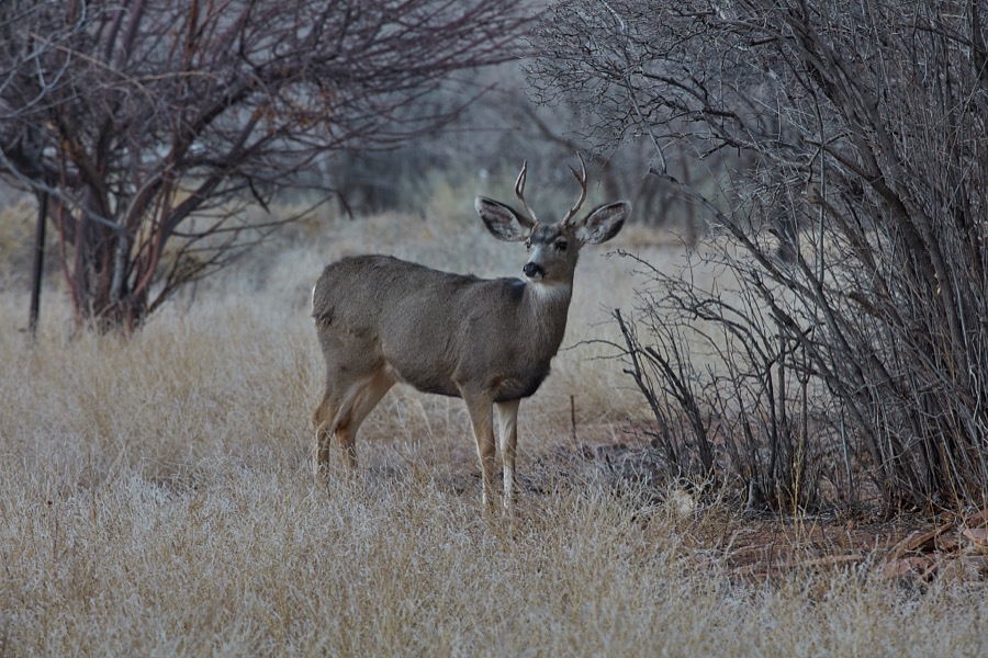
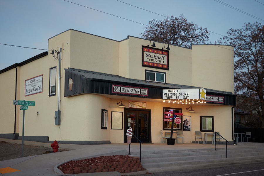
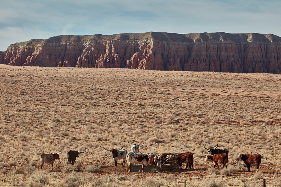
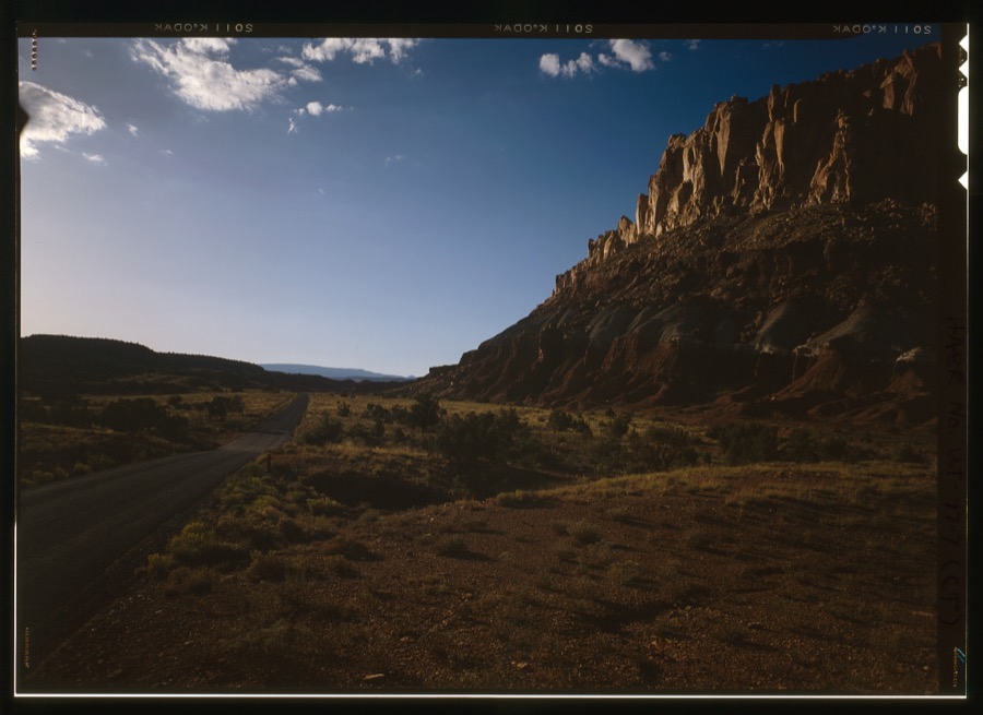
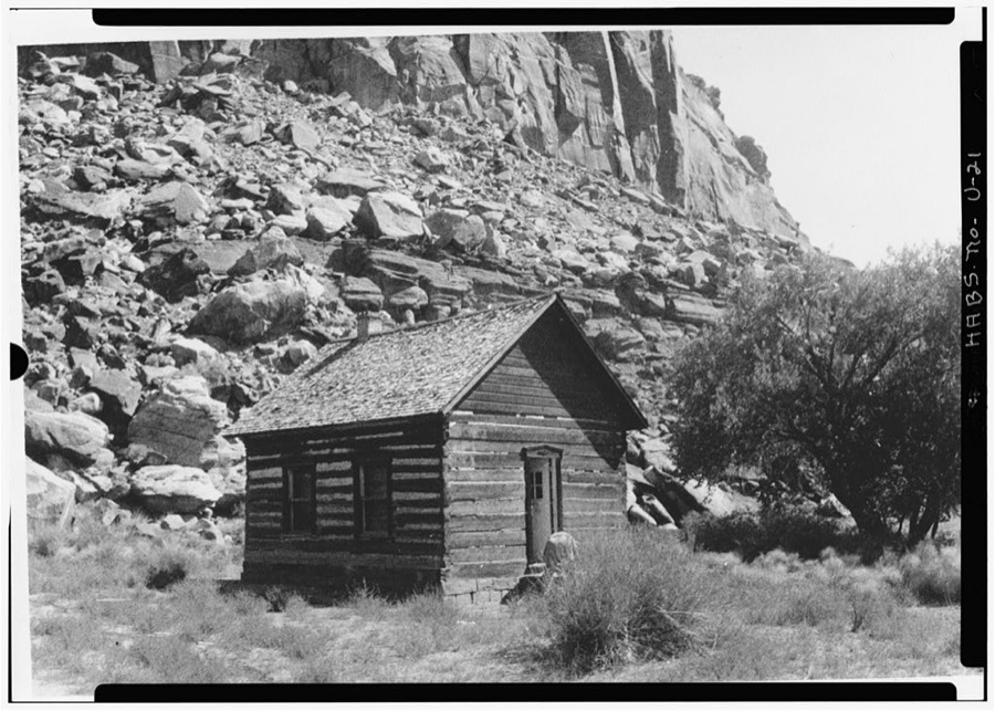
Every property in this county listed on the National Register of Historic Places, with the year it was listed and the federal nomination document.
| Photograph | Property | Type | Listed | Reference |
|---|---|---|---|---|
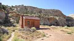 | Elijah Cutler Behunin Cabin | building | 1999 | 99001094 |
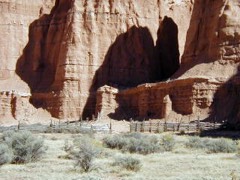 | Cathedral Valley Corral | structure | 1999 | 99001093 |
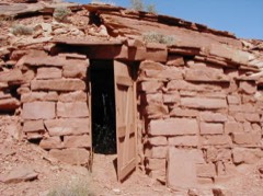 | Civilian Conservation Corps Powder Magazine | structure | 1999 | 99001090 |
| D.C.C. & P. Inscription "B" | site | 1988 | 88001251 | |
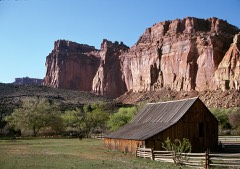 | Fruita Rural Historic District | district | 1997 | 97000246 |
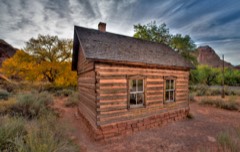 | Fruita Schoolhouse | building | 1972 | 72000098 |
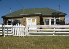 | Grover School | building | 1986 | 86000753 |
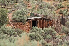 | Hanks' Dugouts | site | 1999 | 99001095 |
| Hanksville Meetinghouse-School | building | 1990 | 90001825 | |
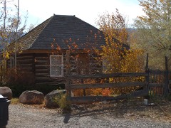 | Charles W. and Leah Lee House | building | 1996 | 96001325 |
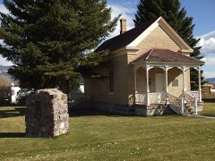 | Loa Tithing Office | building | 1985 | 85000687 |
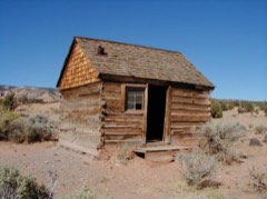 | Lesley Morrell Line Cabin and Corral | building | 1999 | 99001096 |
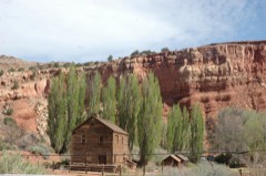 | Hans Peter Nielson Gristmill | building | 1975 | 75001835 |
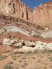 | Oyler Mine | site | 1999 | 99001092 |
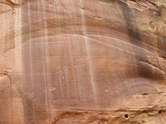 | Pioneer Register | site | 1999 | 99001097 |
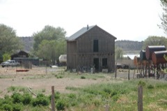 | Teasdale Tithing Granary | building | 1985 | 85000688 |
| Torrey Log Church-Schoolhouse | building | 1993 | 93000411 | |
| Wayne County High School | building | 1985 | 85000821 |
Selected from the Digital Public Library of America's 4 image records catalogued for this county. Every one shown here carries a public-domain status or a licence that permits reuse on a site that carries advertising; non-commercial, share-alike and restricted images are excluded. The selection is spread across the county's towns (at most eight per town), so no single institution's bulk upload crowds out the rest. Each opens the holding library's record, and the complete set at the Digital Public Library of America is one click away.
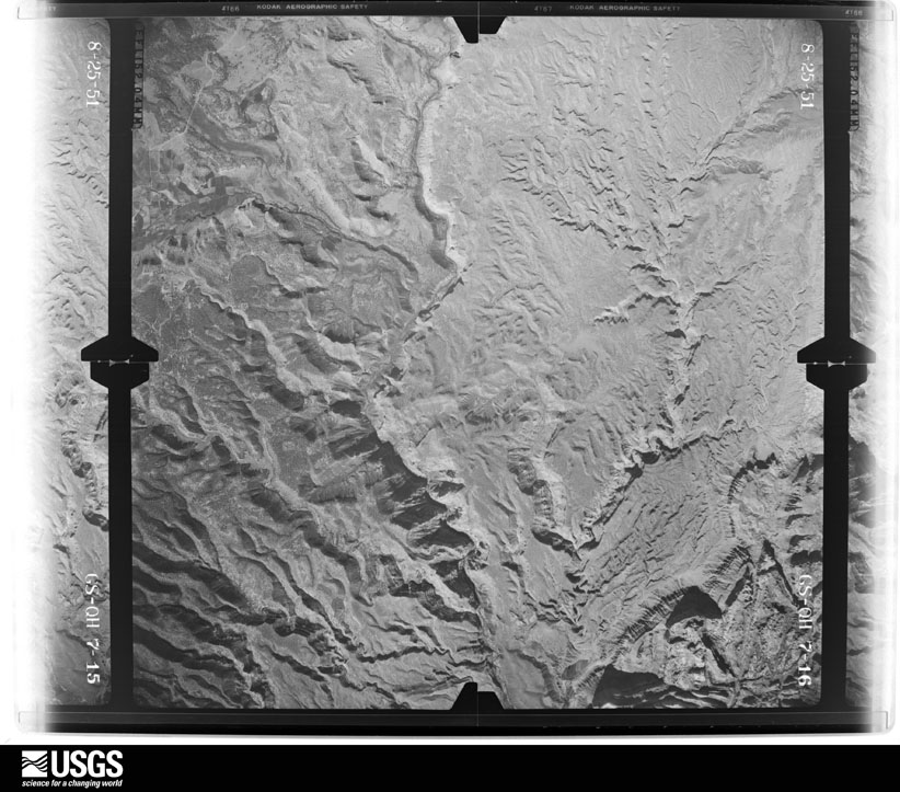
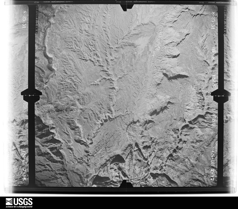
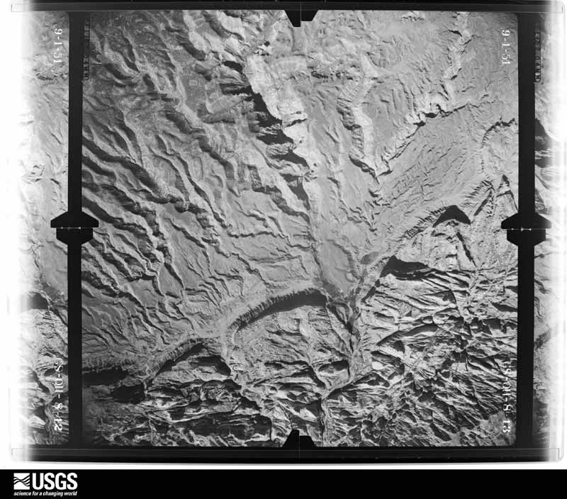
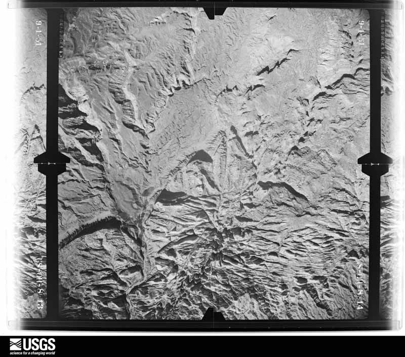
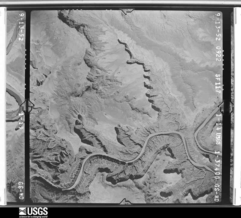
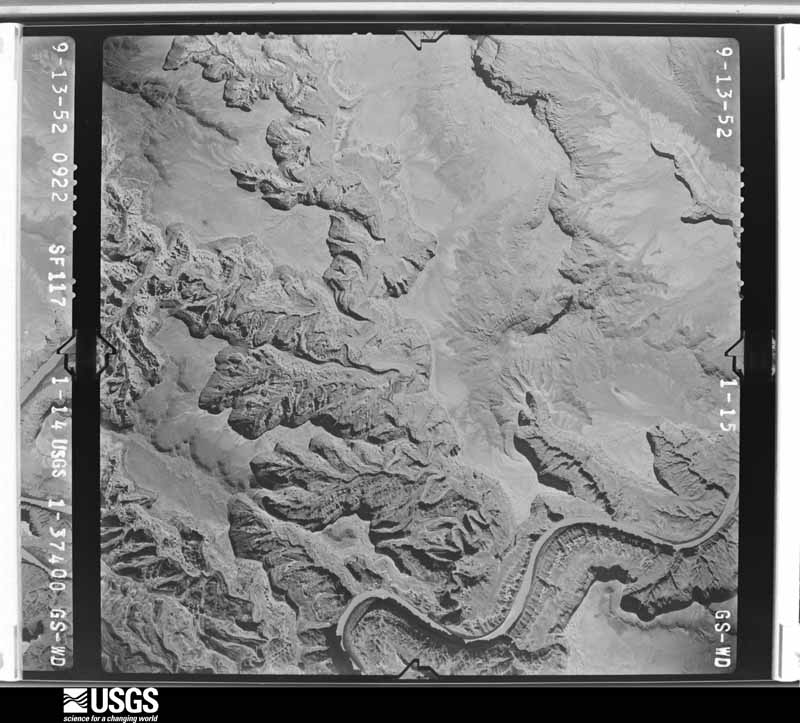
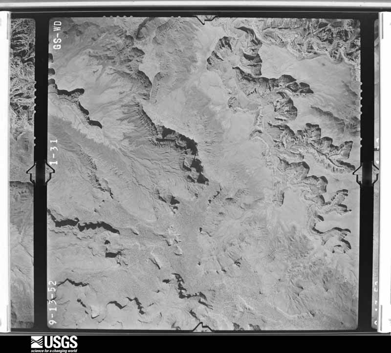
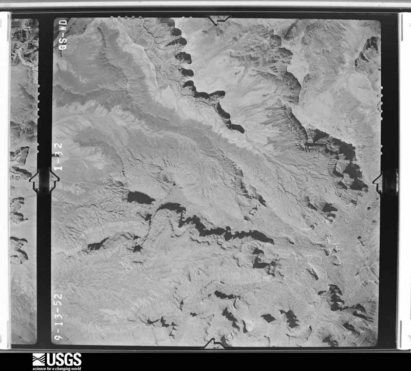
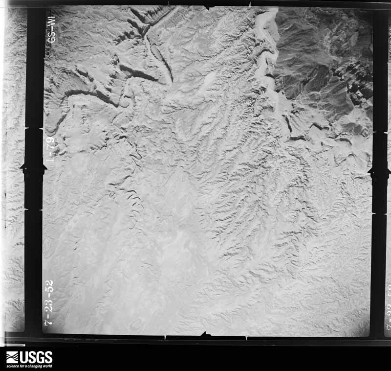
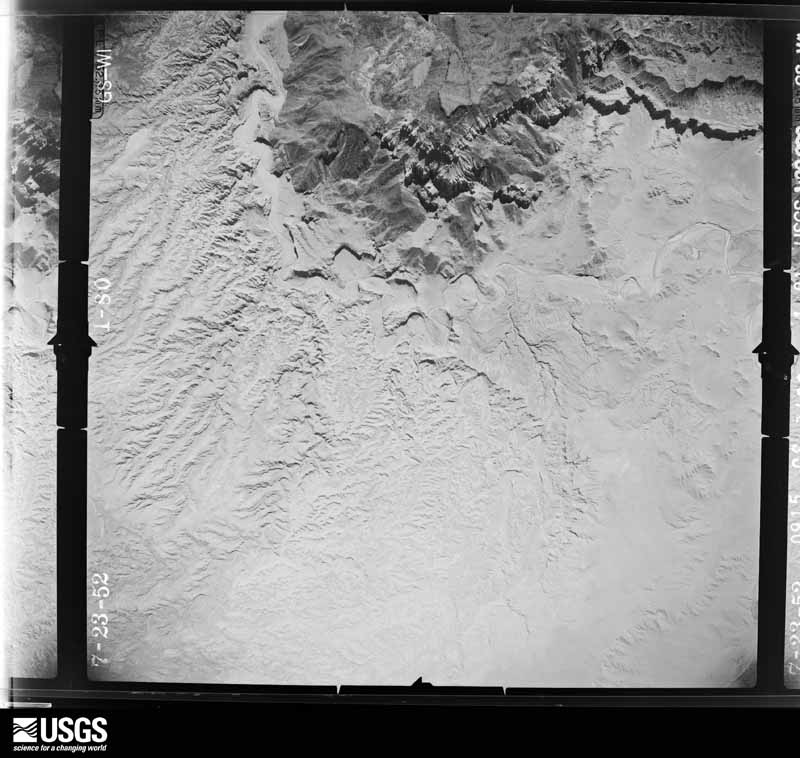
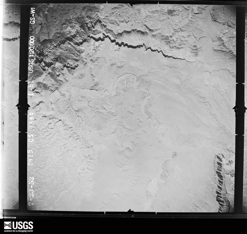
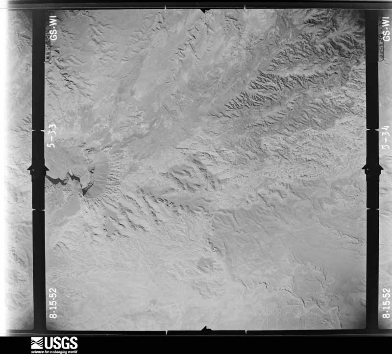
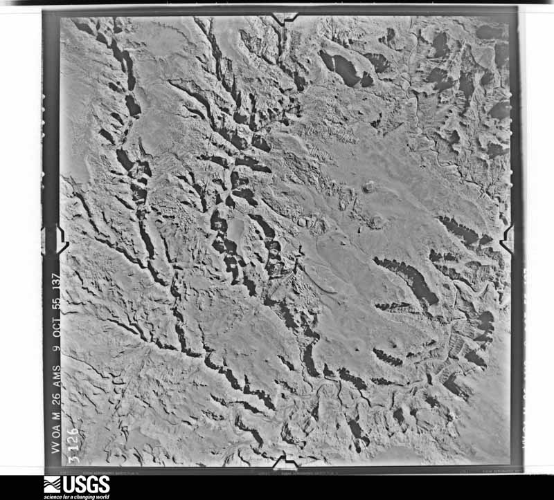
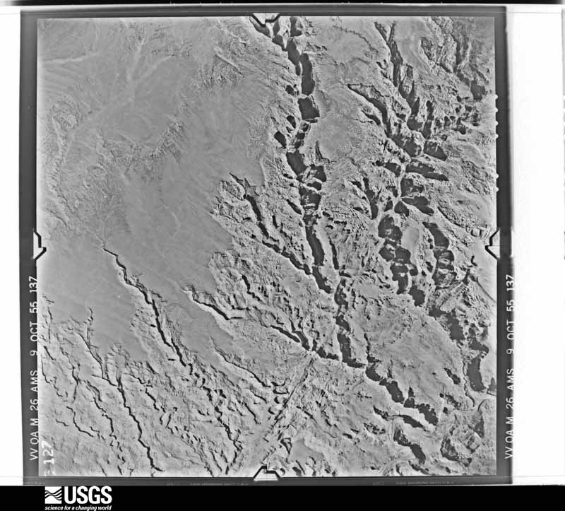
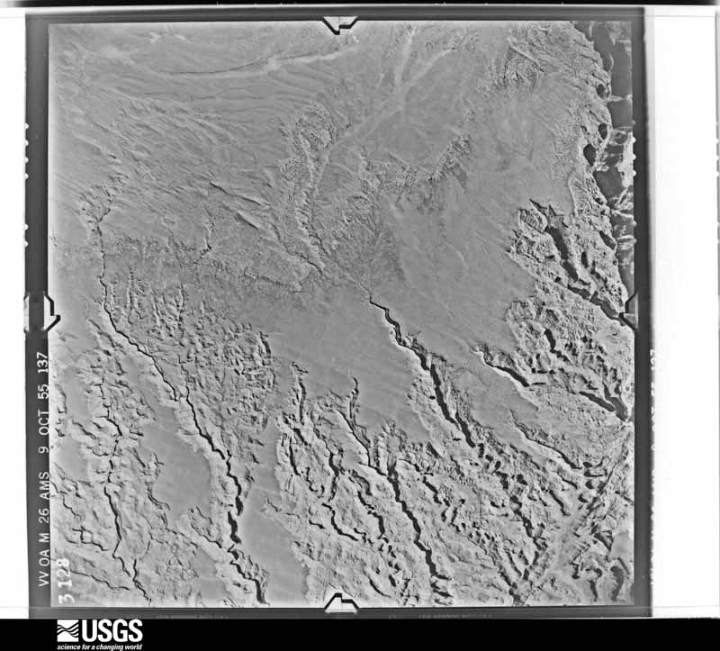
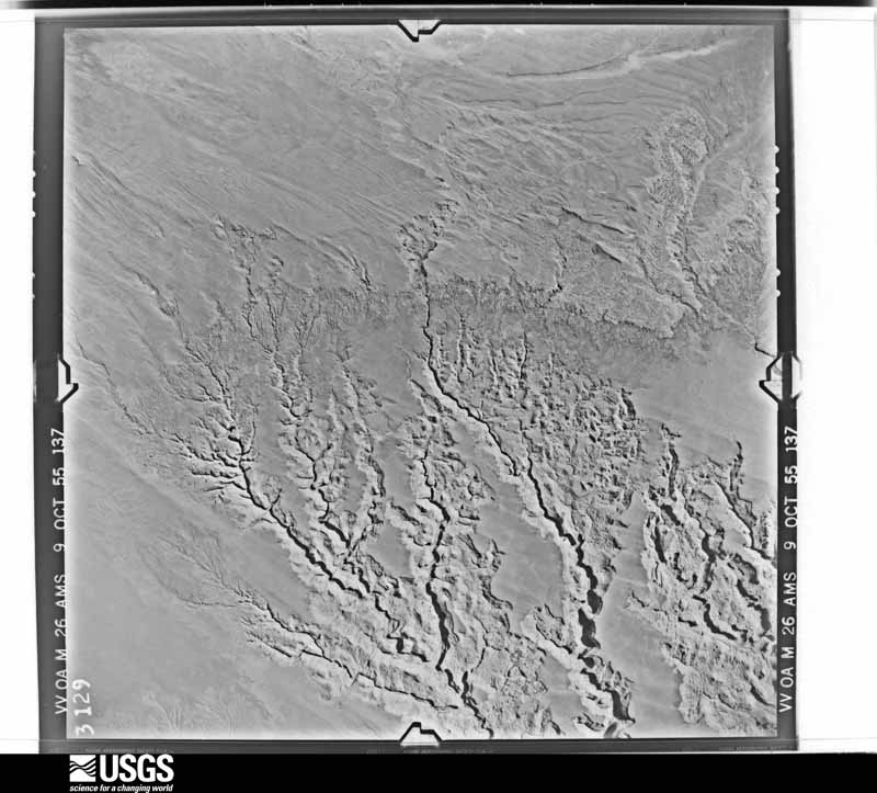
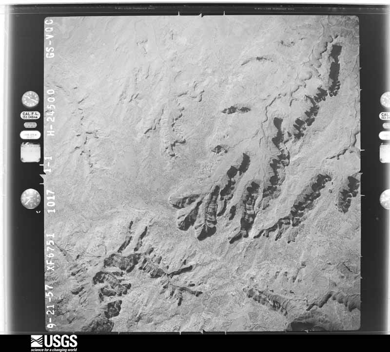
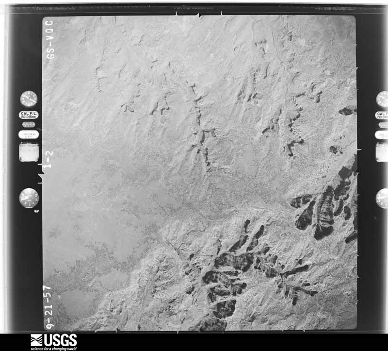
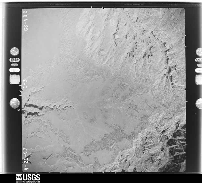
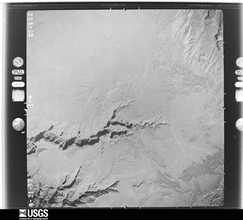
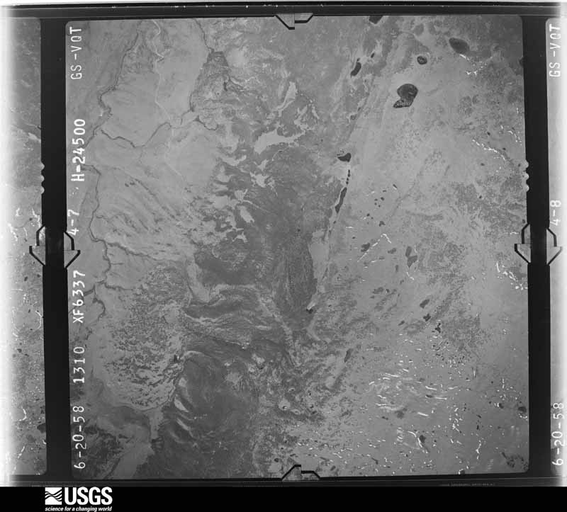
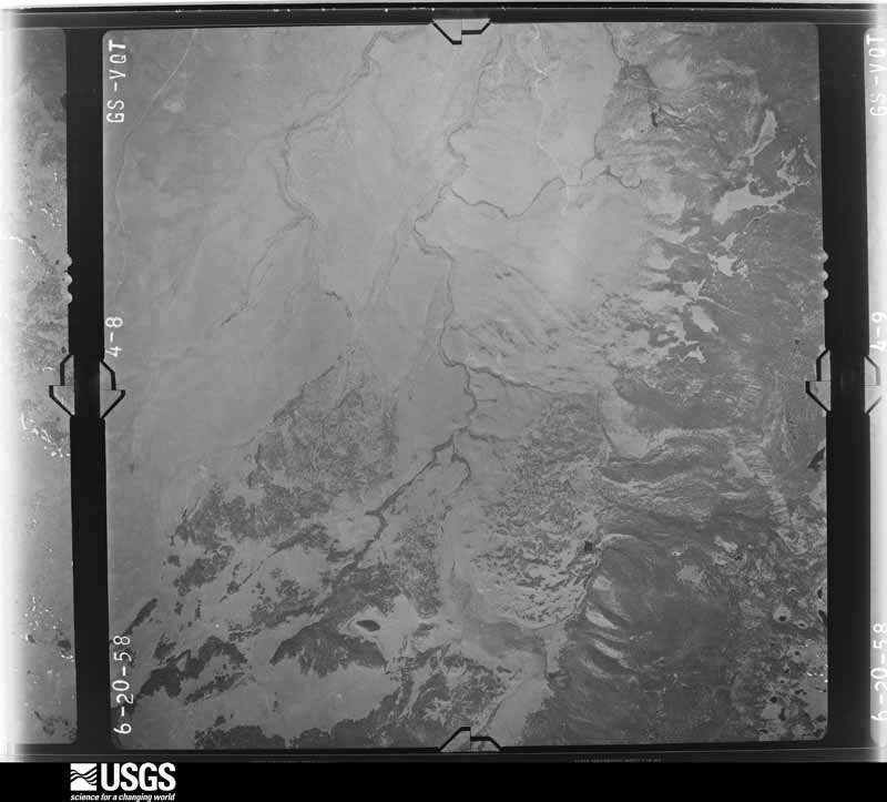
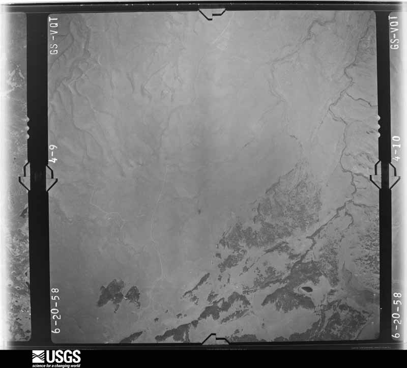
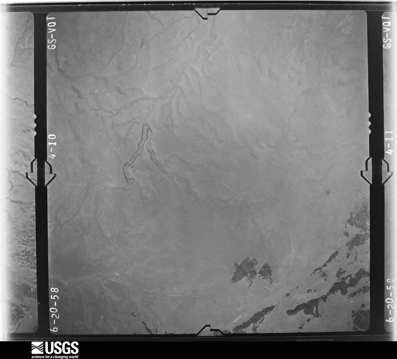
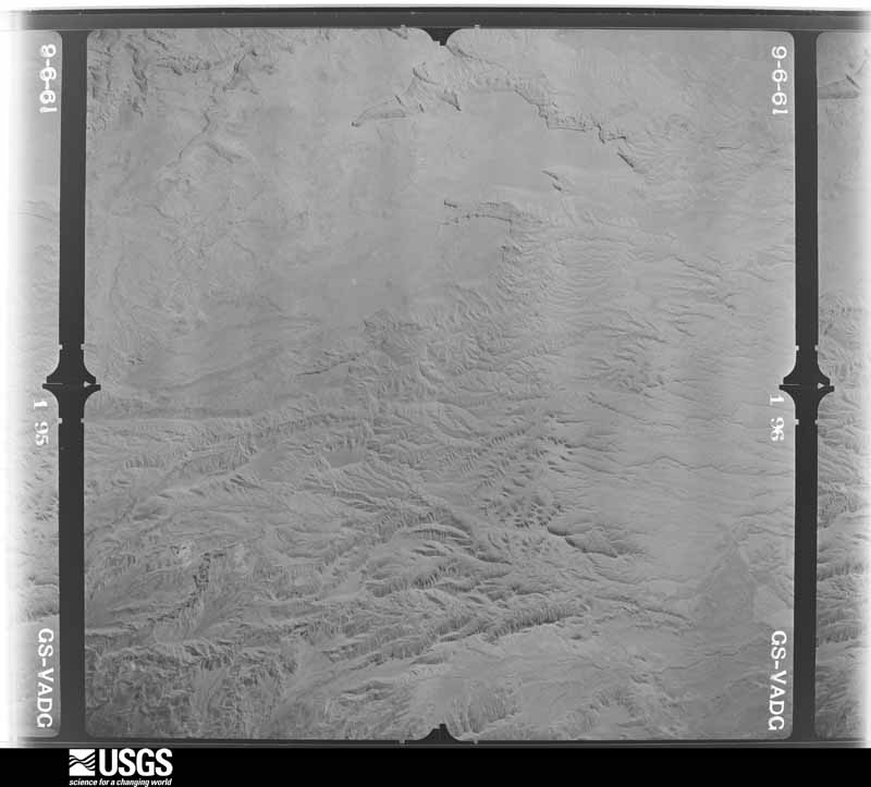
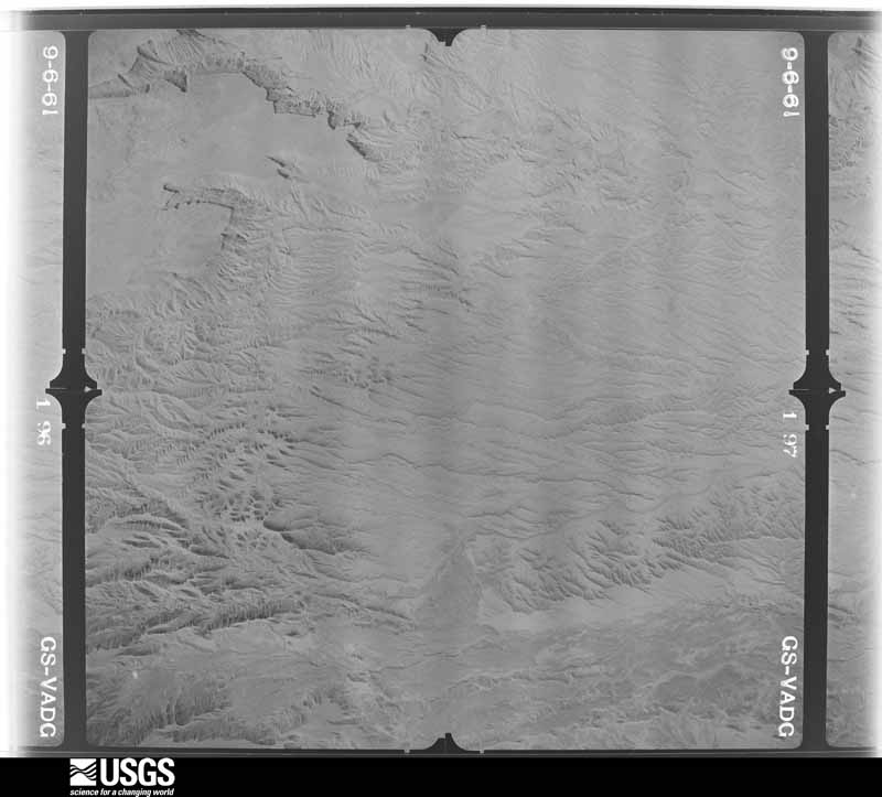
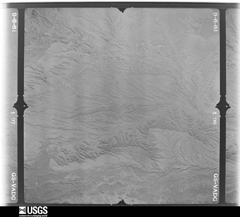
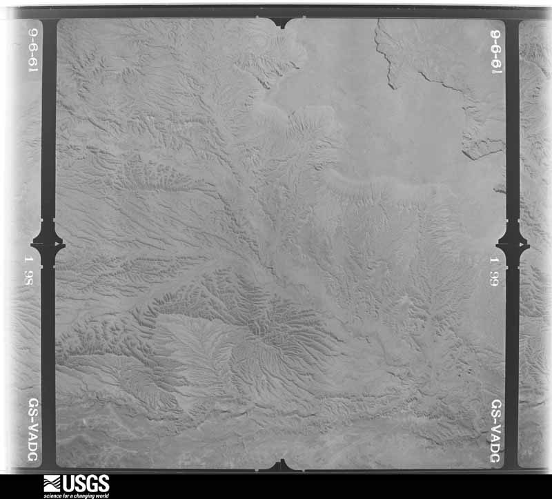
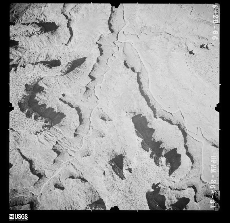
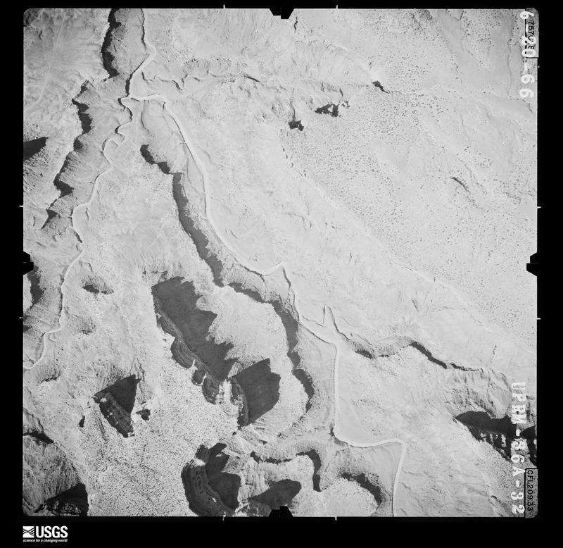
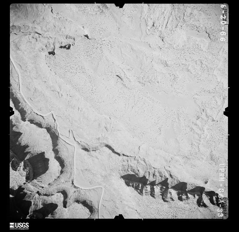
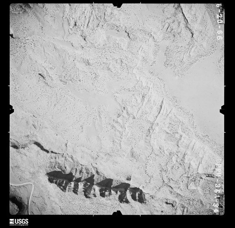
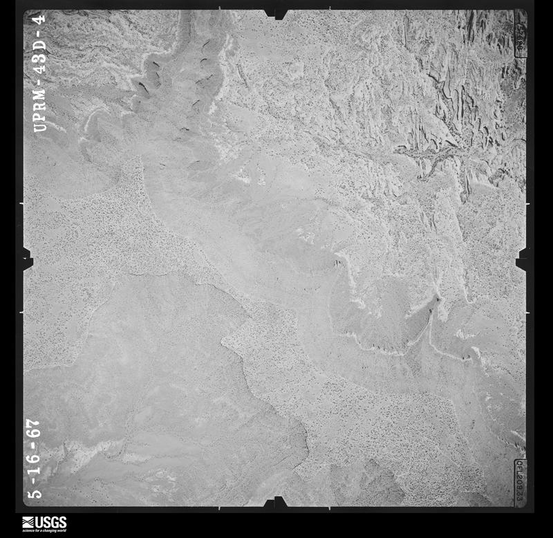
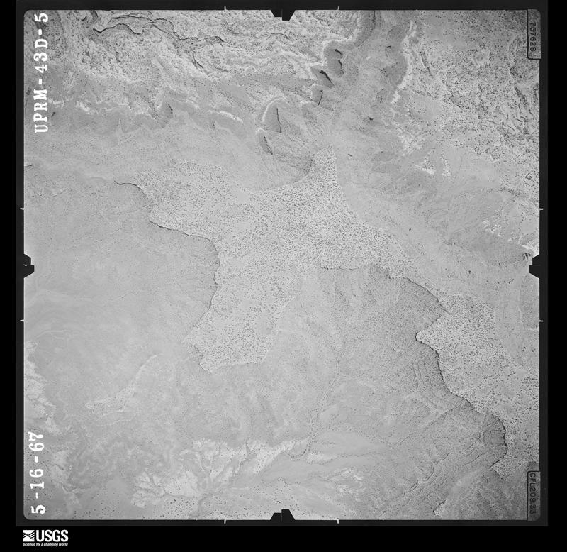
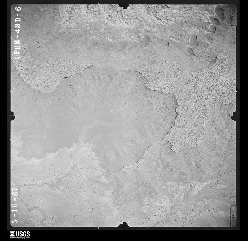
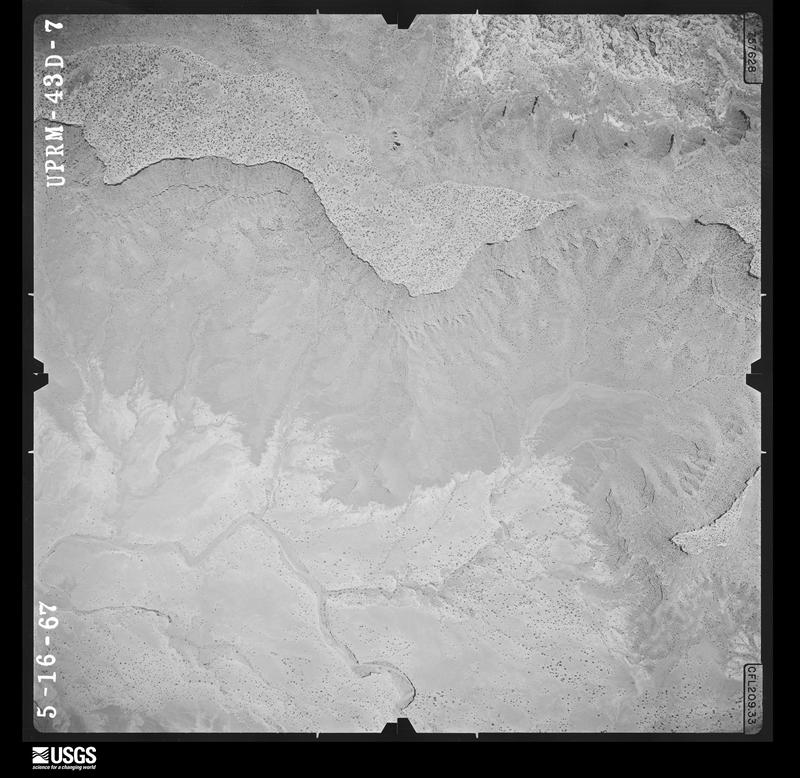
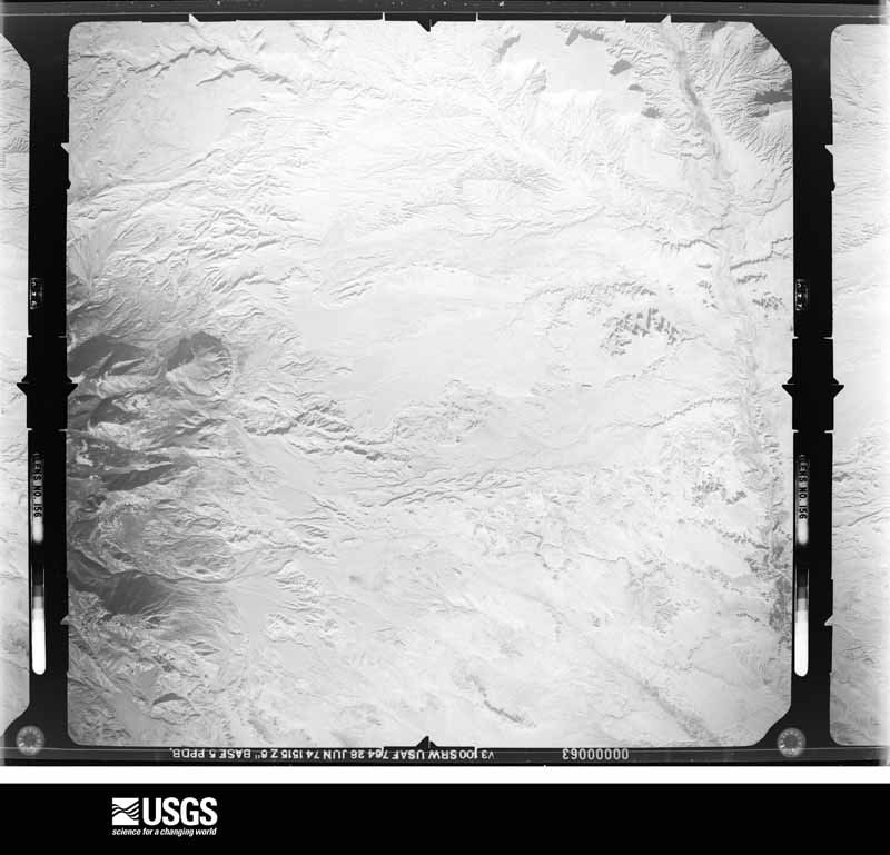
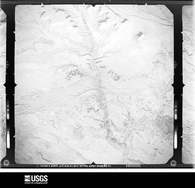
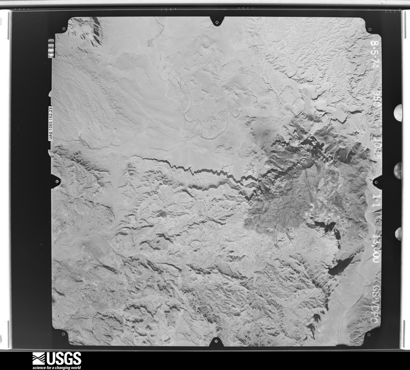
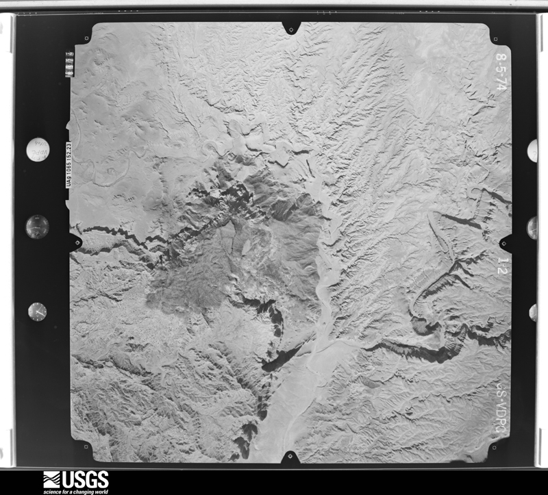
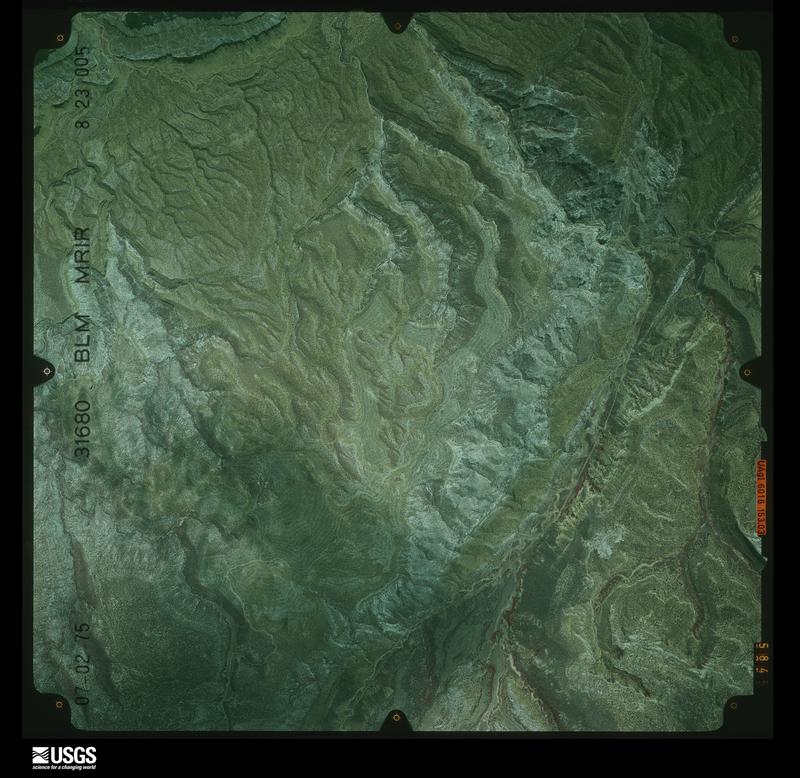
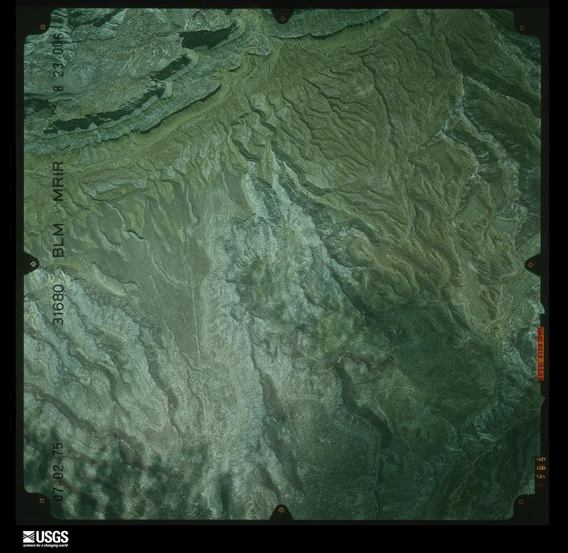
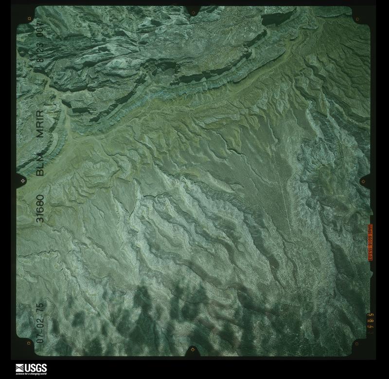
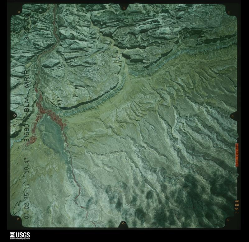
Flown by the U.S. Geological Survey between 1937 and 1989, the Aerial Photo Single Frames collection is the definitive mid-century view of the land: fields, roads and rivers as the camera saw them. The Survey holds 6,040 frames inside the rectangle that bounds this county; the 48 frames below were taken over the county itself, chosen across the decades of flights (at most four a year from that rectangle), so one flight cannot crowd out the rest. The full set is free to browse and download at EarthExplorer under the dataset Aerial Photo Single Frames.
The thermometers that kept this county's weather, and the gages that measured the flow of its streams, as the federal records hold them. The extremes below are measured values from those records, not estimates.
Who lived here in 1950, one enumeration district at a time, as the Census Bureau described each district. Each row opens its official National Archives result, with Population Schedules and ED Maps available there.
Every wildfire the federal occurrence database records inside this county: 210 of them, burning about 3,337 acres. 140 started naturally and 14 were recorded as arson. Each settlement page carries the fires within five miles of it.
| Reported cause | Fires |
|---|---|
| Natural | 140 |
| Recreation and ceremony | 22 |
| Missing data/not specified/undetermined | 19 |
| Arson/incendiarism | 14 |
| Debris and open burning | 8 |
| Equipment and vehicle use | 4 |
| Fireworks | 1 |
| Misuse of fire by a minor | 1 |
| Firearms and explosives use | 1 |
The five largest, by the area the report gives. Two of them were set deliberately.
| Date | Cause | Size | Reported by | Name on the report |
|---|---|---|---|---|
| 3 June 2012 | Arson/incendiarism | 2,170 acres | Fishlake National Forest | LOST LAKE |
| 26 July 1996 | Natural | 630 acres | Fishlake National Forest | HENS PEAK |
| 27 July 2018 | Natural | 360 acres | Fishlake National Forest | POLE CANYON |
| 23 July 2014 | Natural | 34 acres | Richfield Field Office | BELL ROCK |
| 20 April 2004 | Recreation and ceremony | 27 acres | Canyonlands National Park | UPHEAVAL B |
| 14 April 2007 | Debris and open burning | 19 acres | Richfield Field Office | BICKNELL BOTTOMS |
| 6 April 2019 | Debris and open burning | 14 acres | Utah Division Forestry Fire State Lands | SULPHER CREEK |
| 3 June 2012 | Arson/incendiarism | 9.0 acres | Fishlake National Forest | BIG LOST LAKE |
Every settlement page carries the fires within five miles of it - see the settlement index below.
The NOAA Storm Events Database holds 192 reports for this county, causing no deaths, 1 injury and about $11,997,430 in recorded property damage. Each settlement page carries the reports that name it.
| Kind of event | Reports |
|---|---|
| Flash Flood | 159 |
| Hail | 12 |
| Tornado | 8 |
| Flood | 5 |
| Thunderstorm Wind | 4 |
| Heavy Rain | 4 |
The most serious of them, by death, then injury, then recorded damage. The accounts are quoted exactly as the forecast office filed them.
| When | Event | Place named | Harm | What the report says |
|---|---|---|---|---|
| September 1997 | Flash Flood | Fruita | 1 hurt, $25,000 | no account filed |
| October 2006 | Flash Flood | Fruita | $8,000,000 | HWY 24 undercut and one lane washed out. Flooding in Grand Wash. Bus with 29 passengers washed off road...no injuries reported. A mobile home was washed into a flooded creek. 2.78 of rain reported at Capitol Reef NP. Damage estimate collected from media reports. Official estimate not available. |
| September 2021 | Flash Flood | (4hv)Hanksville | $3,000,000 | A significant flash flood occurred in the town of Hanksville, with nearly every structure in town impacted by flooding. Floodwaters were reportedly as deep as 6 feet in places. Rainfall totals were 1.2 inches in Hanksville, and were as high as 1.7 inches in the Henry Mountains. In Capitol Reef National Park, 1.66 inches fell. |
| September 2013 | Flood | (Hve)Hanksville Arpt | $300,000 | Significant long duration rainfall caused widespread flooding across Wayne County. State Route 24 was closed in several locations over the two day period, including between Caineville and Hanksville, as well as near Capitol Reef National Park, where the road was eroded due to the overflowing Fremont River. In addition, State Route 95 was damaged by flood waters and closed near Hanksville. Damage also occurred at Fish Creek Cove, where the road was cut off; this left about a dozen homes inaccessible, some of which were primary residences.||In Capitol Reef National Park, all of the streams and slot canyons were running high; the Scenic Drive was closed for an extended period of time, and many roads around the park sustained damage. Aside from roads, the most significant damage in Wayne County was at a diversion dam near Hanksville on the Fremont River, which will have to be completely rebuilt. |
| June 2022 | Flash Flood | Fruita | $110,000 | Capitol Reef National Park reported SR-24 was impassable near milepost 83 due to flood waters from grand wash. Scenic drive was also closed, and the parking lot at the Grand Wash trailhead flooded. The flooding stranded nearly 60 people, and trapped or washed away several vehicles. Numerous water rescues were conducted by Utah Department of Public Safety helicopter operations to bring people to safety. |
| August 2003 | Flash Flood | Central Portion | $100,000 | Severe flash flooding occurred at Capitol Reef National Park, with water up to Silver Creek bridge. Highway 24 was reported under water with boulders rolling across the highway. Park visitors were being evacuated, and the Fremont river was 5 feet over flood stage. |
| July 2015 | Flash Flood | Fruita | $75,000 | Multiple rounds of heavy rain caused significant flash flooding in Capitol Reef National Park. The Scenic Drive was closed due to water and debris impacting the road in multiple locations, particularly at the Grand Wash and near the Slick Rock Divide. Major flooding occurred in Capitol Gorge, and caused significant damage to the dirt road to Capitol Gorge, such that the road to this popular hiking area was closed for more than two months after the flood. Very heavy flows were also reported along Sulphur Creek and Pleasant Creek, as well as all associated washes, with water a foot deep in Sulphur Creek. |
| September 2013 | Flash Flood | Teasdale | $50,000 | Widespread flash flooding occurred once again across Wayne County due to heavy rainfall. State Route 24 was closed from Fruita to Hanksville, as flood waters flowed over the road. Capitol Reef National Park had flooding and debris along the Scenic Drive and the Grand Wash. Roads across the wide area again experienced damage due to the flood waters. |
| August 2003 | Flash Flood | (4hv)Hanksville | $50,000 | Torrential downpours caused an eight foot wall of water to careen down bull creek near Hanksville. Flooding of local businesses was reported southwest of town as well. |
| August 1999 | Flash Flood | Hanksville | $50,000 | Heavy rains in the Henry Mountains caused the Bull Creek to overflow its banks near Hanksville. Some basements were flooded near the creek, and even the Mayor's yard on the south end of town got flooded. |
| April 1993 | Tornado (F1) | Caineville | $50,000 | Thunderstorms in southeast Utah produced a tornado. Caineville is 25 miles west of Hanksville. The tornado was seen by several people. The tornado touched down 100 yards west of a restaurant. As the tornado moved toward the restaurant it tore off tree limbs, and scattered 48 to 60 pieces of plywood and 300 2-by-4's that had been lying around. An outside deck on the restaurant was damaged as the tornado went by. After it passed by the restaurant, the tornado briefly lifted. When it came back down, the tornado lifted a 6-ton motor home 1.5 to 2 feet, and then slammed it down on its side. The tornado also picked up a boat, and threw it into a fence. With a lot of debris and dirt still in the circulation, the tornado went into an open field, and lifted back into the sky. A long time had elapsed before this event was reported to the forecast office because the area affected has no telephone service. |
| August 2010 | Flash Flood | Fremont | $30,000 | Flash flooding occurred in the Cathedral District on the north end of Capitol Reef National Park. The heavy rain made roads impassable and virtually destroyed them, leaving much of the area impassable until county road crews were able to rebuild the roads. |
| July 2013 | Flash Flood | Lyman | $20,000 | Heavy rain in Lyman led to a canal breach. Water then flowed into the basement of a home, with water as deep as 8 feet. The basement was seriously damaged, and the personal property inside the basement was a total loss. |
| August 2010 | Flash Flood | Fremont | $20,000 | Heavy rain caused flash flooding across the northern portions of Capitol Reef National Park, including Cathedral Valley, further damaging roads that were already in disrepair from previous flash flooding. In addition, several washes east of the park were flooded, and water was flowing over SR-24. |
| August 2010 | Hail | Loa | $20,000 | Hail, that was estimated to be one inch in diameter, pitted cars traveling along SR-24 near Loa. This storm was slow moving, and 5 inches of hail accumulated in the same area. Several accidents were reported on the highway as the storm was overhead. Note that this storm also caused flash flooding in the area. |
| July 1998 | Flash Flood | Southwest Portion | $20,000 | no account filed |
| October 2012 | Flash Flood | Notom | $15,000 | Flash flooding occurred in Capitol Reef National Park, with all washes along Scenic Drive producing 6 to 8 inch flows across the road. This flooding caused many of the dirt roads across the park to be impassable for a few days. In addition, a large tree fell over State Route 24 due to erosion along the Fremont River, closing the highway for about an hour and a half. Water also crossed over State Route 24 at milepost 100 near Caineville. |
| June 1997 | Hail | Caineville | $15,000 | A severe thunderstorm developed in western Wayne county. A spotter in Caineville measured hailstones as large as 2" in diameter. This severe thunderstorm moved east into Hanksville about an hour later and dropped 1" diameter hail in that town. Some minor damage was reported in the area. Minor flooding was reported in a few businesses east of Hanksville on SR95 from this storm as well. |
| July 2007 | Flash Flood | Teasdale | $14,000 | Heavy rain caused flash flooding in Sulphur Creek and the Fremont River. The primary damage was in Capitol Reef National Park. A number of stretches of SR 173 and other local roads were covered with mud and rocks, and a small bridge was washed out as well. |
| July 2012 | Flash Flood | Grover | $10,000 | Flash flooding occurred across parts of Capitol Reef National Park, including along Sulphur Creek. The worst of the flooding was in the Cathedral Valley area of the park, where roads were washed out, with trenches 2.5 feet deep. |
| June 2024 | Flash Flood | (4hv)Hanksville | $5,000 | Flooding of dirt roads was reported in Hanksville. |
| October 2022 | Hail | (4hv)Hanksville | $5,000 | A resident reported quarter-sized hail that dented cars in Hanksville. |
| August 1997 | Flash Flood | Torrey | $5,000 | no account filed |
| August 2017 | Flash Flood | Notom | $2,000 | Flash flooding was reported in Capitol Reef National Park, with 4 to 6 inches of flowing water reported in Capitol Gorge. This water damaged the dirt road that provides access to the Capitol Gorge area. |
| June 2009 | Flash Flood | Fruita | $2,000 | Park rangers reported six to twelve inches of water flowing across the Capitol Gorge Scenic Drive, as well as minor damage to the dirt road. |
| August 2023 | Flash Flood | Bicknell | $1,000 | Flooding was reported in the town of Bicknell, with water flowing across streets. |
| August 2023 | Flash Flood | Fruita | $1,000 | Park rangers reported flooding on Sulphur Creek and adjacent drainages. Floooding in Capitol Gorge resulted in a multiday road closure of the Scenic Drive. |
| August 2021 | Flash Flood | Fruita | $1,000 | Capitol Reef National Park officials reported Scenic Drive was closed at Grand Wash due to a large amount of mud across the road, deposited by flash flooding, making it impassible. Rangers also estimated Pleasant Creek and Sheets Gulch had 6-8 feet of flooding overnight, and Burro, Cottonwood, and 5 mile Washes had 2 to 4 feet of flooding overnight. |
| September 2023 | Flash Flood | Fruita | $500 | Capitol Reef National Park officials reported a debris flow across state Route 24, making it impassable just east of the Visitor Center between Hickman Bridge and Grand Wash. Additionally, flash flooding was observed in Sulphur Creek, and high flows were reported in Grand Wash. This flooding was associated with a cluster of showers and thunderstorms which produced heavy rain over portions of the park, with Multi-Radar Multi-Sensor rainfall estimates of approximately 0.75 to 1.25. |
| August 2023 | Flash Flood | Fruita | $500 | Flash flooding caused a closure of state Route 24 due to water covering the road from mileposts 81 to 85. The flooding led to an evacuation of the Fruita Campground and Gifford House. |
| July 1998 | Heavy Rain | Fruita | $400 | no account filed |
| August 1986 | Tornado (F0) | not stated | $30 | no account filed |
| June 2025 | Flash Flood | Fruita | - | Park rangers reported a flash flood in Sulphur Creek at Capitol Reef National Park. |
| June 2025 | Flash Flood | Fruita | - | Minor flash flooding was observed in Spring Canyon at the confluence with the Fremont River. Time is estimated from radar. |
| July 2025 | Flash Flood | Torrey | - | A flood wave (flash flooding) was reported in Sulphur Creek at the Capitol Reef National Park western Boundary. Approximately 0.25 to 0.50 inches of rain fell to create the flood wave. |
| June 2024 | Flash Flood | Grover | - | Flash flooding was reported on Pleasant Creek. |
| June 2024 | Flash Flood | Fruita | - | Flash flooding was reported in Grand Wash and water was over the road on state Route 24 in Capitol Reef National Park. Time is estimated from RADAR. |
| June 2024 | Flash Flood | Fruita | - | Flash flooding was reported in Pleasant Creek. |
| August 2024 | Flash Flood | Notom | - | A park ranger reported water across Notom Road from Burrow Wash. |
| August 2024 | Flash Flood | Torrey | - | A park ranger reported flash flooding along Sulphur Creek just outside of Capitol Reef National Park. |
| July 2023 | Flash Flood | Fruita | - | Capitol Reef National Park reported flash flooding associated with thunderstorms in the area, which necessitated the closure of several roads in the park, including portions of the Scenic Drive, The Capitol Gorge Road, and Pleasant Creek. |
| May 2023 | Flash Flood | Fruita | - | Fairly persistent showers moved over Sulphur Creek during the morning hours, with thunderstorms moving over the Capitol Reef National Park area during the early afternoon. The storms resulted in quick bursts of heavy rain, with radar estimates showing around 0.4 to 0.6 inches of rainfall over the affected area. Subsequently, Capitol Reef National Park officials reported approximately 8 to 10 inches of water flowing through Sulphur Creek near the Capitol Reef National Park Visitor Center. A visitor report of knee- to thigh-deep water within Spring Canyon was also relayed from a Park Ranger. |
| July 2023 | Flash Flood | Fruita | - | A cluster of thunderstorms produced heavy rain during the early afternoon hours through portions of Capitol Reef National Park, with Multi-Radar/Multi-Sensor estimates of around 0.50 to 0.75 inches of rain. Subsequently, Capitol Reef National Park reported that state Route 24 east of the visitor center was impassable due to high water and debris. Additionally, minor flooding was reported in the campground. |
| August 2023 | Flash Flood | Fruita | - | A flash flood was reported in Capitol Gorge and Grand Wash. |
| July 2023 | Flash Flood | Fruita | - | Capitol Reef National Park officials reported multiple flows and waterfalls associated with heavy rain and thunderstorms moving through the park. At approximately 11:46 am MST, multiple waterfalls were noted on cliffs. By 11:55 am MST, water was reported to be coming over state Route 24, and by 11:59 am MST, debris, in addition to water, was noted. At approximately 12:30 pm MST, the wash south of Hickman Bridge through Neil Johnson Bridge was reported to be flowing high, and the Hickman Bridge area was reported to be flooded. |
| October 2022 | Flash Flood | Fruita | - | Capitol Reef National Park officials reported flash flooding on Sulphur Creek. |
| July 2022 | Flash Flood | Notom | - | A flood wave around 3 feet or higher passed through Pleasant Creek within Captitol Reef National Park. The flood wave was associated with heavy rainfall in close vicinity to the creek. |
| July 2022 | Flash Flood | Grover | - | A series of moderate, to at times strong, thunderstorms moved through Capitol Reef National Park over the span of 2 to 3 hours. Multi-Radar/Multi-Sensor 3-hour rainfall estimates showed around 1 to 2 inches within the park. As a result, a flow of 6-8 inches of water moved through Capitol Gorge, as reported by Park officials. |
| September 2022 | Flash Flood | Fruita | - | Officials from Capitol Reef National Park reported 1 to 2 feet of water flowing through a wash that feeds into the Grand Wash, as well as 1 to 2 feet of water flowing through Grand Wash itself. |
| August 2022 | Flash Flood | Fruita | - | Capitol Reef National Park reported flash flooding on Sulphur Creek. Water was several feet deep and came within 2 feet or so from the bottom of the bridge on state Route 24. |
| September 2022 | Flash Flood | Notom | - | Park rangers relayed a report of flash flooding in Capitol Gorge, with floodwaters as much as 4 feet deep. This is associated with showers and thunderstorms which moved through the area between around 12:30 pm MST to 2:00 pm MST and produced around 0.50 inches of rainfall. |
| June 2022 | Flash Flood | Fruita | - | Grand Wash Road and Capitol Gorge Road were closed due to mud from flash flooding. |
| August 2022 | Flash Flood | Fruita | - | Flash flooding occurred in Grand Wash in Capitol Reef National Park, with 1-2 feet of water flowing over the road. |
| August 2022 | Flash Flood | Fruita | - | A flash flood was observed in Sulphur Creek near Panorama Point in Capitol Reef National Park. |
| June 2022 | Flash Flood | Fruita | - | Flash flooding occurred on Burro, Cottonwood, and Five Mile Washes, along with Sheets Gulch and on Notom-Bullfrog Road where the pavement ends. |
| August 2022 | Flash Flood | Fruita | - | Scenic Drive in Capitol Reef National Park was closed due to flooding in the Grand Wash. |
| August 2022 | Flash Flood | Fruita | - | Six to eight inches of rapidly flowing water crossed roads in Grand Wash and Capitol Gorge in Capitol Reef National Park. |
| June 2022 | Flash Flood | (4hv)Hanksville | - | Bull Creek flowed across the road near Main Street, bringing with it large debris. |
| August 2022 | Flash Flood | Fruita | - | Grand Wash in Capitol Reef National Park was closed due to flash flooding. |
| July 2021 | Flash Flood | Torrey | - | Capitol Reef National Park officials reported flash flooding in a dry wash leading into Sulphur Creek from upstream heavy rainfall. The water level on Sulphur Creek near the Visitor center rose 2 feet. |
The Survey's mineral resources record lists 103 workings inside this county. 4 still produce and 99 are closed or unrecorded. Each settlement page carries the workings within five miles of it.
| Commodity | Workings |
|---|---|
| Uranium | 30 |
| Sand and Gravel, Construction | 25 |
| Gypsum-Anhydrite | 12 |
| Uranium, Vanadium | 8 |
| Copper | 8 |
| Gemstone | 6 |
| Vanadium, Uranium | 6 |
| Mercury | 1 |
| Uranium, Copper, Vanadium | 1 |
| Stone, Dimension | 1 |
| Copper, Lead | 1 |
| Barium-Barite | 1 |
| Stone | 1 |
| Lead, Copper | 1 |
The least common of them first, because a county's hundredth gravel pit says nothing its first ten did not.
| Where | Site | Commodity | Status | Recorded |
|---|---|---|---|---|
| Birch Spring Prospect | Uranium, Copper, Vanadium | Occurrence | Brochantite, Chalcanthite | |
| Curtis Formation Jasper Module Loc. | Gemstone, Semiprecious Gemstone | Occurrence | ||
| Loa Town | Mercury | Occurrence | ||
| Picture Stone Quarry | Stone, Dimension | Past Producer | Sandstone | |
| Picture Stone Quarry | Stone | Past Producer | ||
| Sulpher Creek Copper Prospect | Lead, Copper | Past Producer | ||
| Sulphur Creek Copper Prospect | Copper, Lead | Occurrence | Galena, Malachite, Plumbojarosite | |
| Sulphur Creek Prospect | Barium-Barite | Past Producer | ||
| Billy's Dream | Vanadium, Uranium | Past Producer | Carnotite | |
| Curtis Formation Jasper Nodule Locality | Gemstone | Occurrence | Agate, Jasper | |
| Factory Butte Claims | Vanadium, Uranium | Past Producer | ||
| Green Hornet | Vanadium, Uranium | Past Producer | ||
| Jet Basin | Gemstone | Past Producer | ||
| Jet Basin | Gemstone | Past Producer | ||
| Lucky Strike Prospects | Vanadium, Uranium | Past Producer | ||
| Notom Bench Jasper | Gemstone | Occurrence | ||
| Notom Bench Jasper | Gemstone | Occurrence | ||
| Power Wagon Mine | Vanadium, Uranium | Past Producer | ||
| Spanish Bottoms Chalcedony | Gemstone | Occurrence | Chalcedony, Chert, Jasper | |
| U308 | Vanadium, Uranium | Past Producer | ||
| Billy'sS Dream | Uranium, Vanadium | Past Producer | ||
| Blue Tail Fly | Uranium, Vanadium | Past Producer | Carnotite | |
| Blue Tail Fly | Uranium, Vanadium | Past Producer | ||
| Factory Butte Claims | Uranium, Vanadium | Past Producer | Surface/Underground | |
| Green Hornet | Uranium, Vanadium | Past Producer | Carnotite, Tyuyamunite | |
| Group # 25 Prospect | Copper | Occurrence | Chalcopyrite | |
| Group No.25 Prospect | Copper | Past Producer | ||
| Lucky Strike Prospects | Uranium, Vanadium | Past Producer | Carnotite | |
| Old Faithful #2 Prospect | Copper | Occurrence | 1925 | |
| Old Faithful Mine | Copper | Past Producer | 1912 | |
| Old Faithful Mine | Copper | Past Producer | ||
| Old Faithful No.2 Prospect | Copper | Past Producer | ||
| Power Wagon Mine | Uranium, Vanadium | Past Producer | Underground | |
| Tr # 1 Group. | Copper | Past Producer | 1921 | |
| Tr No 1 Group | Copper | Past Producer | ||
| U3o8 Mine | Uranium, Vanadium | Past Producer | Carnotite | |
| Black Ridge Gypsum | Gypsum-Anhydrite | Occurrence | Alabaster | |
| Black Ridge Gysum | Gypsum-Anhydrite | Occurrence | ||
| Capitol Reef Gypsum | Gypsum-Anhydrite | Occurrence | Alabaster | |
| Capitol Reef Gypsum | Gypsum-Anhydrite | Occurrence | ||
| Lion Mountain Gypsum | Gypsum-Anhydrite | Occurrence | Alabaster | |
| Lion Mountain Gypsum | Gypsum-Anhydrite | Occurrence | ||
| Moroni Slopes Gypsum | Gypsum-Anhydrite | Occurrence | Alabaster | |
| Moroni Slopes Gypsum | Gypsum-Anhydrite | Occurrence | ||
| Red Desert Gypsum | Gypsum-Anhydrite | Occurrence | Alabaster | |
| Red Desert Gypsum | Gypsum-Anhydrite | Occurrence | ||
| South Desert Gypsum | Gypsum-Anhydrite | Occurrence | ||
| South Desert Gypsum | Gypsum-Anhydrite | Past Producer | ||
| Allred Point Borrow Pit | Sand and Gravel, Construction | Past Producer | Andesite, Basalt, Clay | |
| Allred Point Borrow Pit | Sand and Gravel, Construction | Past Producer | ||
| Big Hollow Gravel Deposit | Sand and Gravel, Construction | Past Producer | Surface | |
| Big Hollow Gravel Pit | Sand and Gravel, Construction | Producer | ||
| Black Ridge Borrow Pit | Sand and Gravel, Construction | Past Producer | Andesite, Basalt | |
| Black Ridge Borrow Pit | Sand and Gravel, Construction | Past Producer | ||
| Catherine Black Gravel Pit | Sand and Gravel, Construction | Past Producer | Surface | |
| Catherine Black Gravel Pit | Sand and Gravel, Construction | Producer | ||
| Dry Valley Gravel Pit # 1 | Sand and Gravel, Construction | Past Producer | Andesite, Basalt | |
| Dry Valley Gravel Pit # 2 | Sand and Gravel, Construction | Past Producer | Andesite, Basalt | |
| Dry Valley Gravel Pit No.1 | Sand and Gravel, Construction | Past Producer | ||
| Durfee Canyon Gravel Pit | Sand and Gravel, Construction | Past Producer | ||
| Durfee Canyon Gravel Pit. | Sand and Gravel, Construction | Past Producer | Surface | |
| Graveyard Hollow Borrow Pit | Sand and Gravel, Construction | Past Producer | Andesite, Basalt | |
| Graveyard Hollow Borrow Pit | Sand and Gravel, Construction | Past Producer | ||
| Parker Hollow Gravel Pit | Sand and Gravel, Construction | Past Producer | Andesite, Basalt | |
| Parker Hollow Gravel Pit | Sand and Gravel, Construction | Past Producer | ||
| Rabbit Valley Borrow Pit | Sand and Gravel, Construction | Past Producer | Sand and Gravel | |
| Rabbit Valley Borrow Pit | Sand and Gravel, Construction | Past Producer | ||
| Rock Canyon Borrow Pit | Sand and Gravel, Construction | Past Producer | Surface | |
| Rock Canyon Borrow Pit | Sand and Gravel, Construction | Past Producer | ||
| The Ledges Gravel Pit | Sand and Gravel, Construction | Past Producer | Andesite, Basalt | |
| The Ledges Gravel Pit | Sand and Gravel, Construction | Prospect | ||
| Torrey Gravel Pit | Sand and Gravel, Construction | Past Producer | Surface | |
| Torrey Gravel Pit | Sand and Gravel, Construction | Past Producer | ||
| Big Jim & Little Jim | Uranium | Past Producer | Surface, Underground | |
| Blacks Claim | Uranium | Unknown | ||
| Blacks Claims | Uranium | Past Producer | Surface/Underground | |
| Blacks Claims | Uranium | Past Producer | ||
| Bluebird | Uranium | Occurrence | Underground | |
| Bluebird | Uranium | Occurrence | ||
| Chief Red Wing #1 Prospect | Uranium | Past Producer | Underground | |
| Chief Red Wing No.1 Prospect | Uranium | Past Producer | ||
| Collins Claims | Uranium | Occurrence | ||
| Collins Claims | Uranium | Occurrence | ||
| Cooks Mesa Prospect | Uranium | Occurrence | Underground | |
| Cooks Mesa Prospect | Uranium | Past Producer | ||
| Copper Queen | Uranium | Prospect | ||
| Glen Haven Claims | Uranium | Occurrence | Carnotite | |
| Green Hornet | Uranium | Past Producer | Underground | |
| Green Light-Kim | Uranium | Past Producer | Underground | |
| Hanksville Buying Station | Uranium | Producer | ||
| Holt Draw Uranium Prospect | Uranium | Occurrence | Underground | |
| Holt Draw Uranium Prospect | Uranium | Occurrence | ||
| Notom Mine | Uranium | Producer | ||
| Old Crow | Uranium | Past Producer | Underground | |
| Oyler | Uranium | Occurrence | ||
| Oyler Mine | Uranium | Past Producer | 1901 | |
| Oyler Mine | Uranium | Past Producer | ||
| Sulphur Creek Prospect | Uranium | Occurrence | ||
| Twin Peaks Uranium Prospect | Uranium | Occurrence | Underground | |
| Twin Peaks Uranium Prospect | Uranium | Past Producer | ||
| Unknown | Uranium | Unknown | ||
| Wood Bench Uranium Occurance | Uranium | Occurrence | Carnotite | |
| Wood Bench Uranium Occurance | Uranium | Occurrence |
Named settlements recorded in the Geographic Names Information System, each with the topographic sheets covering it. Villages, hamlets and abandoned places alike. Each is shown with the nearest named watercourse or landform and the survey quadrangle it falls on. The 1 place that was also surveyed for fire insurance comes first, with the number of atlases and photographs held for them.
Loa census division · 84747 · On Road Creek · Loa quadrangle
18 sheets, 1885 to 2001
Fire insurance: 2 atlases
Loa census division · 84715 · Near Cottonwood Canyon · Bicknell quadrangle
18 sheets, 1885 to 2002
Hanksville census division · 84775 · On Caineville Wash · Caineville quadrangle
19 sheets, 1885 to 1987
Hanksville census division · 84734 · On Bull Creek · Hanksville quadrangle
20 sheets, 1885 to 1987
Loa census division · 84749 · Near Lime Kill Hollow · Lyman quadrangle
19 sheets, 1885 to 2001
Hanksville census division · 84775 · On Capitol Wash · Notom quadrangle
20 sheets, 1885 to 1987
Loa census division · 84773 · On Bullberry Creek · Torrey quadrangle
22 sheets, 1885 to 2002
The complete index, with nothing left out. Each of these is a separate record with its own page: a federal survey report, or the case file that argued a property on to the National Register. Both are public domain and reproduced word for word.