 Block
Goshen, Utah
18 topographic sheets cover this place, the earliest surveyed in 1885 and the latest in 1981. It stands in the Goshen census division. It lies in ZIP code area 84633. The Survey maps it on the Goshen quadrangle. 978 people lived here at the 2020 count. It stands 4,551 feet above sea level.
On record in Goshen
Buildings and businesses the archive holds for this place. Each opens its own page, with the source record it came from.
On the National Register 2 records
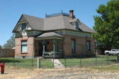 David Morgan Houselisted 1982
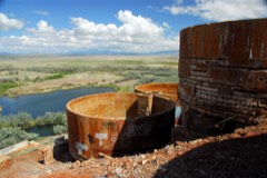 Tintic Standard Reduction Milllisted 1978
Surveyed buildings and structures 1 record
- Tintic Standard Reduction Mill, Warm Springs Mountain, Goshenfederal building survey, 13 photographs
Population over time
2 figuresGoshen grew from 921 to 978 between 2010 and 2020. These are the recorded population figures Wikidata holds for this place, reached through the Geographic Names Information System number this page is keyed on rather than by name, so they belong to this place and not to another of the same name. Most are census counts, but not all are: an early figure may be a founding or settlement estimate, and an estimate published within five years of a census is left out. The change column is computed, and is left blank where more than 20 years separate a figure from the one before it, because a gap that long is not a change between two counts.
| Year | People | Change |
|---|---|---|
| 2010 | 921 | |
| 2020 | 978 | +57 (+6%) |
Topographic sheets covering this place
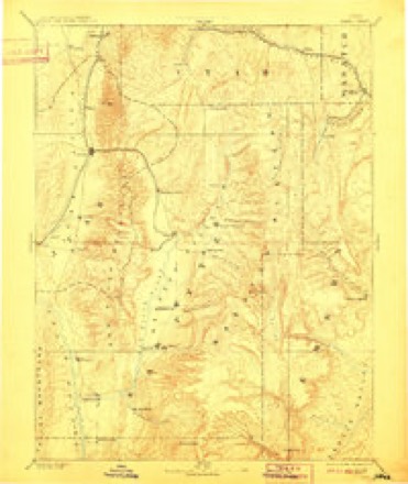
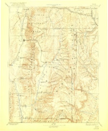
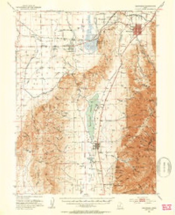
8 surveys from 18 printed sheetsMatched by testing this settlement's coordinate against the published boundary of every sheet in the United States Geological Survey's historical collection. Each opens the scanned sheet at the Survey.
- 1885 USGS Manti quadrangle1:250000, 4 printings
- 1895 USGS Manti quadrangle1:250000
- 1951 USGS Santaquin quadrangle1:62500, 3 printings
- 1956 USGS Price quadrangle1:250000, 3 printings
- 1960 USGS Price quadrangle1:250000, 2 printings
- 1962 USGS Price quadrangle1:250000
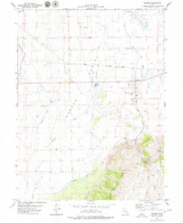
- 1979 USGS Goshen quadrangle1:24000
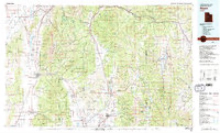
- 1981 USGS Nephi quadrangle1:100000, 3 printings
What the histories say of this town
4,211 words1 chapter about Goshen from the published histories of the county, public domain and reproduced complete.
| Chapter | From | Length |
|---|---|---|
| Utah County: a Graphic Account of Its Foundings, Its Wonderful Growth | Utah County: a Graphic Account of Its Foundings, Its Wonderful Growth and Its Splendid Promise for the Future : Also a Descriptive Review of Its Resources, Attractions, Industries, Leading Business Houses and Institutions, with Portraits and Biographical Sketches of Its Pioneers and Early Settlers (1897) | 4,211 words |
Fires near this place
118 since 1992Regional context, not property-specific evidence. The federal wildfire occurrence database lists 118 fires within 5 miles of Goshen between 1992 and 2020, burning about 8,446 acres in total. 25 started naturally. 2 were recorded as arson. Distance is straight-line from the map coordinates, so a fire counted here may appear on a neighbouring settlement's page as well.
| Reported cause | Fires |
|---|---|
| Missing data/not specified/undetermined | 63 |
| Natural | 25 |
| Debris and open burning | 9 |
| Equipment and vehicle use | 6 |
| Railroad operations and maintenance | 3 |
| Power generation/transmission/distribution | 3 |
| Firearms and explosives use | 3 |
| Arson/incendiarism | 2 |
| Smoking | 2 |
| Recreation and ceremony | 1 |
| Fireworks | 1 |
The most recent of them, most recent first, with the day each was reported and the service that recorded it.
| Date | Cause | Size | Reported by | Name on the report |
|---|---|---|---|---|
| 5 September 2019 | Natural | 4.1 acres | Utah Division Forestry Fire State Lands | WARM SPRINGS |
| 4 September 2005 | Missing data/not specified/undetermined | 35 acres | Utah Division Forestry Fire State Lands | TUNNEL RD. #2 |
| 3 September 2017 | Missing data/not specified/undetermined | under an acre | Utah Division Forestry Fire State Lands | TOM SAWYER |
| 22 September 2010 | Natural | 5.0 acres | Utah Division Forestry Fire State Lands | HERRING |
| 17 September 1995 | Missing data/not specified/undetermined | under an acre | Utah Division Forestry Fire State Lands | CORRAL |
| 14 September 1997 | Missing data/not specified/undetermined | under an acre | Utah Division Forestry Fire State Lands | ILLEGAL BURN |
| 13 September 2020 | Firearms and explosives use | 372 acres | Northwest Area | GOSHEN |
| 13 September 1994 | Missing data/not specified/undetermined | 4.0 acres | Utah Division Forestry Fire State Lands | WELDING |
Settlements close enough to share some of these fires:
Mines and quarries near this place
10 of 21 shownRegional context, not property-specific evidence. The federal mineral resources record lists 21 workings within 5 miles of Goshen: 15 past producers, 3 occurrences, 2 producers, 1 unknown. 2 still produce. What was taken out: Sand and Gravel, Construction, Fluorine-Fluorite, Clay, Lead, Zinc. Distance is straight-line from the map coordinates, so a quarry counted here may appear on a neighbouring settlement's page as well.
| Where | Site | Commodity | Status | Recorded |
|---|---|---|---|---|
| Chaffin Quarry | Dolomite, Limestone, General | Past Producer | Surface | |
| Burriston Claim | Clay | Occurrence | Contact Metasomatic | |
| Burriston Claim | Clay | Past Producer | ||
| Eldorado Nos. 1 and 2 | Lead, Zinc | Occurrence | Vein | |
| Goshen Peak Se Mine | Fluorine-Fluorite | Past Producer | Surface | |
| Unknown | Fluorine-Fluorite | Past Producer | ||
| Utah Starter | Lead, Zinc | Occurrence | Replacement | |
| Black Hollow Gravel Pit | Sand and Gravel, Construction | Past Producer | Unconsolidated Sediments | |
| Currant Creek Gravel Pit No. 1 | Sand and Gravel, Construction | Past Producer | Unconsolidated Sediments | |
| Currant Creek Gravel Pit No. 2 | Sand and Gravel, Construction | Producer | Unconsolidated Sediments |
Storms near this place
2 since 2013Regional context, not property-specific evidence. The National Weather Service names Goshen in 2 storm reports between 2013 and 2016: 1 flash flood, 1 hail. No death or injury is recorded in these reports. Each account below is quoted exactly as the forecast office filed it, from the NOAA Storm Events Database, and each date opens the federal record of that event.
| When | Event | Place named | Harm | What the report says |
|---|---|---|---|---|
| September 2013 | Flash Flood | Goshen | $900,000 | Heavy rain caused flash flooding across much of urban Utah County, with multiple locations recording 0.6-0.8 inches of rain in only 15 minutes. The most significant damage from flooding was reported in Provo, Orem, Payson, and Santaquin. Street flooding was widespread and some roads incurred major damage, with the worst damage occurring at 900 North and Grand Avenue in Provo, where water undercut and washed out a large portion of the asphalt road. Debris from the storm was scattered across most local roadways, taking several days to clean up, and even closed some roads for a period of time. Flowing water caused also caused significant damage to large concrete stairs at Lions Park in Provo. At University Mall in Orem, water quickly filled the parking lot, submerging many cars in more than a foot of water. ||Residential areas also received significant flood damage. In Provo, at least 25 homes had major damage, with more than 50 receiving minor damage. In Orem, approximately 30 homes received flood damage. In Santaquin, about 30 homes had flooding a foot deep or more, while about 30 other homes had flooding with less than a foot of water. Water wasn't the only problem in Santaquin, as the storm drainage system became overwhelmed, and raw sewage flowed into many homes. ||Finally, the flooding also impacted Timpanogos Cave National Monument, where heavy rain and associated debris stranded 150 hikers for several hours, before rangers were able to clear a path and rescue them. The Monument was closed for two full days while debris was cleaned up from both the hiking trails and nearby State Route 92. |
| May 2016 | Hail | Goshen | - | Penny sized hail was reported south of Santaquin. |
Nearest settlements
The eight closest, with where each one stands in the county. Distances are straight-line, computed from the Geographic Names Information System coordinates.
Elsewhere
Matched on this settlement's Geographic Names Information System number rather than its name, so it cannot be a different place of the same name in another state.
| Wikipedia article on Goshen | An encyclopaedic summary. Its text is share-alike, so it is linked here rather than copied. |
| Wikidata item Q483358 | The structured record the population and elevation above come from. Public domain (CC0). |
Provenance
This settlement is recorded in the Geographic Names Information System as feature 1428272. The sheet list is computed by point-in-boundary test against the United States Geological Survey's historical topographic inventory. Both are works of the United States government and carry no copyright under 17 U.S.C. 105.
Wildfire. Short, Karen C. 2022. Spatial wildfire occurrence data for the United States, 1992-2020 [FPA_FOD_20221014]. 6th Edition. Fort Collins, CO: Forest Service Research Data Archive. https://doi.org/10.2737/RDS-2013-0009.6 Collected with United States Government funding and usable without additional permissions or fees.
Mines and quarries. USGS Mineral Resources Data System (MRDS) https://mrdata.usgs.gov/mrds/ A work of the United States government, no copyright under 17 U.S.C. 105.
Storms. NOAA National Centers for Environmental Information, Storm Events Database https://www.ncei.noaa.gov/stormevents/ A work of the United States government, no copyright under 17 U.S.C. 105. Narratives are quoted verbatim from the National Weather Service report and are not edited or summarised.