 Block
Granite, Utah
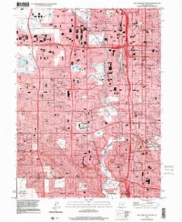
25 topographic sheets cover this place, the earliest surveyed in 1885 and the latest in 1999. It stands in the Salt Lake City census division. It lies in ZIP code area 84101. The Survey maps it on the Salt Lake City South quadrangle.
On record in Granite
Buildings and businesses the archive holds for this place. Each opens its own page, with the source record it came from.
On the National Register within a mile 12 of 21 shown
The National Register names another town for these. They stand within one mile of this settlement's coordinate.
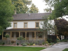 Nelson Wheeler Whipple Houselisted 1979 · 0.4 miles away
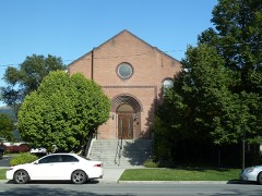 Congregation Sharey Tzedek Synagoguelisted 1985 · 0.6 miles away
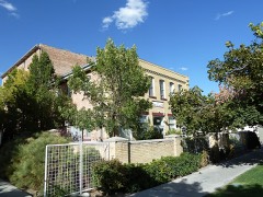 Silver Brothers' Iron Works Office and Warehouselisted 1999 · 0.7 miles away
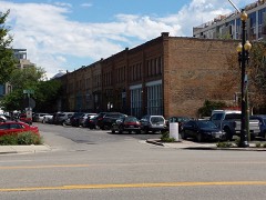 Warehouse District (Boundary Increase)listed 2016 · 0.8 miles away
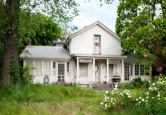 John B. Kelly Houselisted 1983 · 0.8 miles away
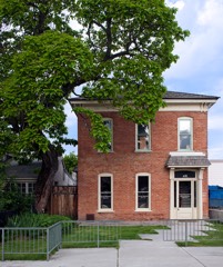 Albert H. Kelly Houselisted 1983 · 0.8 miles away
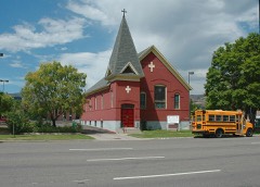 Trinity A.M.E. Churchlisted 1976 · 0.8 miles away
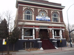 Eagles Buildinglisted 2019 · 0.8 miles away
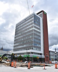 First Security Bank Buildinglisted 2005 · 0.8 miles away
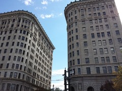 Exchange Place Historic Districtlisted 1978 · 0.9 miles away
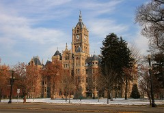 Salt Lake City and County Buildinglisted 1970 · 0.9 miles away
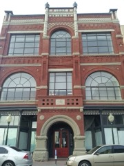 Independent Order of Odd Fellows Halllisted 1977 · 0.9 miles away
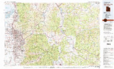
Topographic sheets covering this place
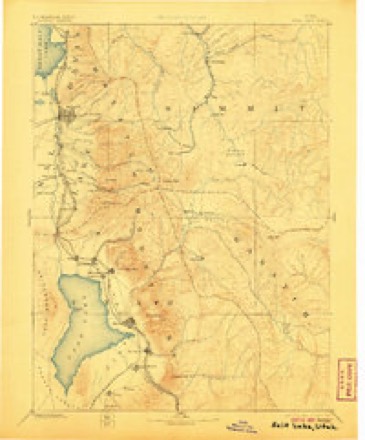
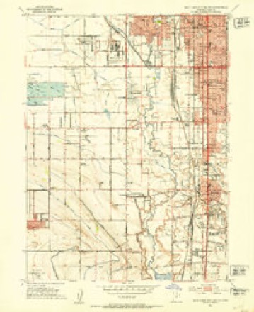
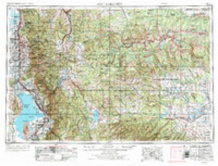
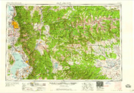
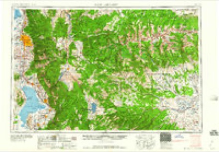
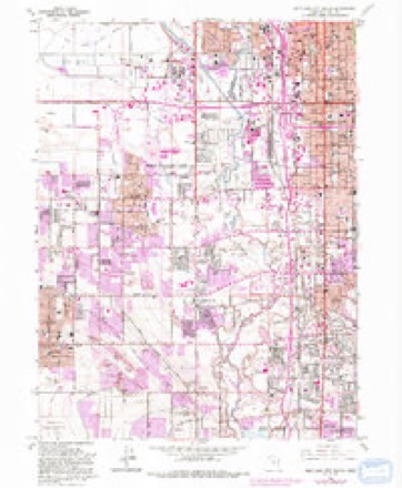
10 surveys from 25 printed sheetsMatched by testing this settlement's coordinate against the published boundary of every sheet in the United States Geological Survey's historical collection. Each opens the scanned sheet at the Survey.
- 1885 USGS Salt Lake quadrangle1:250000, 7 printings
- 1925 USGS Ft. Douglas quadrangle1:125000
- 1928 USGS Ft. Douglas quadrangle1:125000, 2 printings
- 1951 USGS Salt Lake City South quadrangle1:24000
- 1954 USGS Salt Lake City quadrangle1:250000, 4 printings
- 1958 USGS Salt Lake City quadrangle1:250000
- 1960 USGS Salt Lake City quadrangle1:250000
- 1963 USGS Salt Lake City South quadrangle1:24000, 4 printings
- 1980 USGS Salt Lake City quadrangle1:100000, 3 printings
- 1999 USGS Salt Lake City South quadrangle1:24000
Fires near this place
29 since 1992Regional context, not property-specific evidence. The federal wildfire occurrence database lists 29 fires within 5 miles of Granite between 1992 and 2020, burning about 628 acres in total. 2 started naturally. 1 was recorded as arson. Distance is straight-line from the map coordinates, so a fire counted here may appear on a neighbouring settlement's page as well.
| Reported cause | Fires |
|---|---|
| Missing data/not specified/undetermined | 17 |
| Recreation and ceremony | 4 |
| Fireworks | 2 |
| Natural | 2 |
| Other causes | 1 |
| Power generation/transmission/distribution | 1 |
| Arson/incendiarism | 1 |
| Railroad operations and maintenance | 1 |
The most recent of them, most recent first, with the day each was reported and the service that recorded it.
| Date | Cause | Size | Reported by | Name on the report |
|---|---|---|---|---|
| 6 September 2007 | Missing data/not specified/undetermined | 2.0 acres | Salt Lake Field Office | DEVONSHIRE 2 |
| 14 September 2020 | Recreation and ceremony | 35 acres | Utah Division Forestry Fire State Lands | CONNECTICUT |
| 13 September 1999 | Missing data/not specified/undetermined | under an acre | Utah Division Forestry Fire State Lands | TRAILER |
| 11 September 2007 | Missing data/not specified/undetermined | under an acre | Uinta-Wasatch-Cache National Forest | ENSIGN PEAK |
| 6 August 2016 | Missing data/not specified/undetermined | 5.0 acres | Utah Division Forestry Fire State Lands | ENSIGN INCORPORATED |
| 6 August 2005 | Missing data/not specified/undetermined | under an acre | Uinta-Wasatch-Cache National Forest | GEORGE'S |
| 22 August 2020 | Missing data/not specified/undetermined | 1.0 acres | Utah Division Forestry Fire State Lands | BECK ST ASSIST |
| 21 August 2003 | Natural | 1.0 acres | Uinta-Wasatch-Cache National Forest | EAGLEWOOD |
Settlements close enough to share some of these fires:
Mines and quarries near this place
10 of 31 shownRegional context, not property-specific evidence. The federal mineral resources record lists 31 workings within 5 miles of Granite: 22 producers, 5 past producers, 2 unknowns, 2 occurrences. 22 still produce. What was taken out: Sand and Gravel, Construction, Iron, Limestone, General, Barium-Barite. Distance is straight-line from the map coordinates, so a quarry counted here may appear on a neighbouring settlement's page as well.
| Where | Site | Commodity | Status | Recorded |
|---|---|---|---|---|
| Fort Douglas Sandstone Quarry | Stone, Dimension | Past Producer | Quartzite | |
| Intermountain Smelting Corp | Antimony | Producer | ||
| Rocky Mountain Refractories | Fire Clay (Refractory) | Producer | ||
| Becks Hot Springs | Geothermal | Unknown | ||
| Custom Milling & Supply Mill | Barium-Barite | Past Producer | ||
| Eisenman Barite Mill | Barium-Barite | Producer | ||
| Wasatch 8ot Springs | Geothermal | Unknown | ||
| Limekiln Gulch North Quarry | Limestone, General, Iron | Past Producer | Calcite, Limonite | |
| Limekiln Gulch South Quarry | Limestone, General | Past Producer | Calcite | |
| Magnet Iron | Iron | Producer | Replacement |
Storms near this place
2 since 2011Regional context, not property-specific evidence. The National Weather Service names Granite in 2 storm reports between 2011 and 2019: 1 flood, 1 debris flow. No death or injury is recorded in these reports. Each account below is quoted exactly as the forecast office filed it, from the NOAA Storm Events Database, and each date opens the federal record of that event.
| When | Event | Place named | Harm | What the report says |
|---|---|---|---|---|
| June 2011 | Flood | Granite | $200,000 | Little Cottonwood Creek reached flood stage for a couple days in late June, peaking at 916 cfs at Crestwood Park on the night of June 24th. Much of the flooding was mitigated, but some damage was observed along the creek. The culvert at 2000 East and 3500 South was severely damaged, resulting in an extended closure of the road. There was a road closure and some damage at 1200 West between 3300 South and 3400 South, after Little Cottonwood enters the Jordan River. Erosion and damage occurred to riverbanks and park areas along the creek, including Murray Park and Crestwood Park. |
| August 2019 | Debris Flow | Granite | - | Heavy rain over Little Cottonwood Canyon produced a series of debris flows that closed state Route 210 in the Canyon. |
Nearest settlements
The eight closest, with where each one stands in the county. Distances are straight-line, computed from the Geographic Names Information System coordinates.
| Map | Place | Distance | Sheets |
|---|---|---|---|
| Salt Lake City | 0.9 miles | 27 | |
| South Salt Lake | 2.1 miles | 25 | |
| Sugar House | 2.2 miles | 25 | |
| Roper | 2.5 miles | 25 | |
| University Village | 3.3 miles | 27 | |
| Redwood (historical) | 3.3 miles | 25 | |
| Foothill Village | 3.5 miles | 25 | |
| Fort Douglas (historical) | 3.5 miles | 27 |
Provenance
This settlement is recorded in the Geographic Names Information System as feature 1451716. The sheet list is computed by point-in-boundary test against the United States Geological Survey's historical topographic inventory. Both are works of the United States government and carry no copyright under 17 U.S.C. 105.
Wildfire. Short, Karen C. 2022. Spatial wildfire occurrence data for the United States, 1992-2020 [FPA_FOD_20221014]. 6th Edition. Fort Collins, CO: Forest Service Research Data Archive. https://doi.org/10.2737/RDS-2013-0009.6 Collected with United States Government funding and usable without additional permissions or fees.
Mines and quarries. USGS Mineral Resources Data System (MRDS) https://mrdata.usgs.gov/mrds/ A work of the United States government, no copyright under 17 U.S.C. 105.
Storms. NOAA National Centers for Environmental Information, Storm Events Database https://www.ncei.noaa.gov/stormevents/ A work of the United States government, no copyright under 17 U.S.C. 105. Narratives are quoted verbatim from the National Weather Service report and are not edited or summarised.