BlockBefore

Salt Lake County, Utah

136 topographic sheets and 29 fire insurance atlases across 6 places.

Research this county

From the record

399 National Register listings published here, 6 of them National Historic Landmarks.

Sources: the National Register database, National Park Service

Utah within the United States
Salt Lake County within Utah
Explore by year 1870 1891

What the record shows

  • 6 places in this county were surveyed for fire insurance: Salt Lake City, Bingham Canyon, Magna, Midvale, Murray, Sandy, between 1884 and 1950.
  • 29 fire insurance atlases survive for the county. Topographic coverage is national; fire insurance survey reached only incorporated places with something worth insuring.
  • 1,534 topographic sheet readings cover the county's settlements.
  • 399 properties here are on the National Register of Historic Places: 348 buildings, 40 districts, 6 sites, 3 structures and 2 objects.
  • 75 of the 399 listings were added during the 1970s.
  • The Geographic Names Information System records 1,567 populated places in this county, 1,504 of them entered in a single load in 1989. 65 have pages here: every place recorded apart from that load, and the places in it that a census count, an encyclopedia article or a National Register listing also names.

Photographs

46 photographs, 1940 to 2022

Taken for the Office of War Information and the Farm Security Administration, who photographed the country between 1935 and 1944. Works of United States government photographers, with no known restriction on use. Each opens its catalogue record.
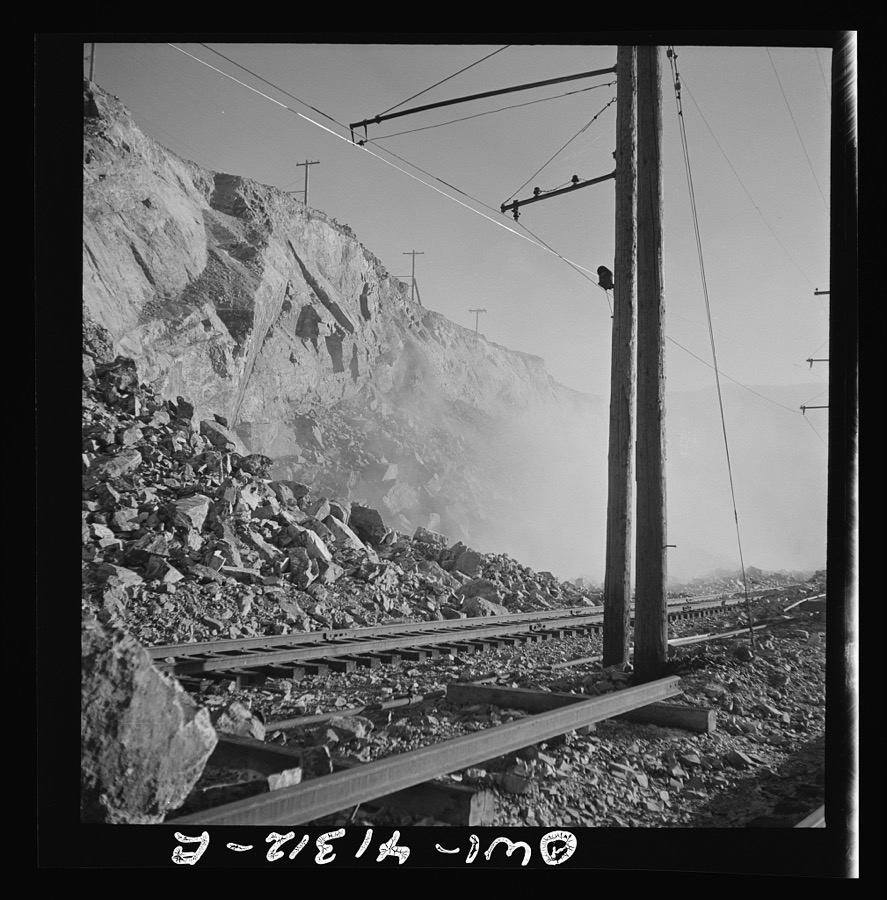
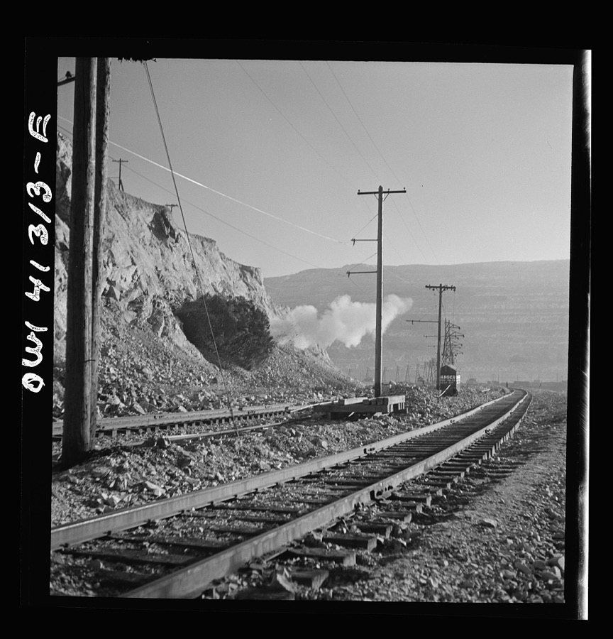
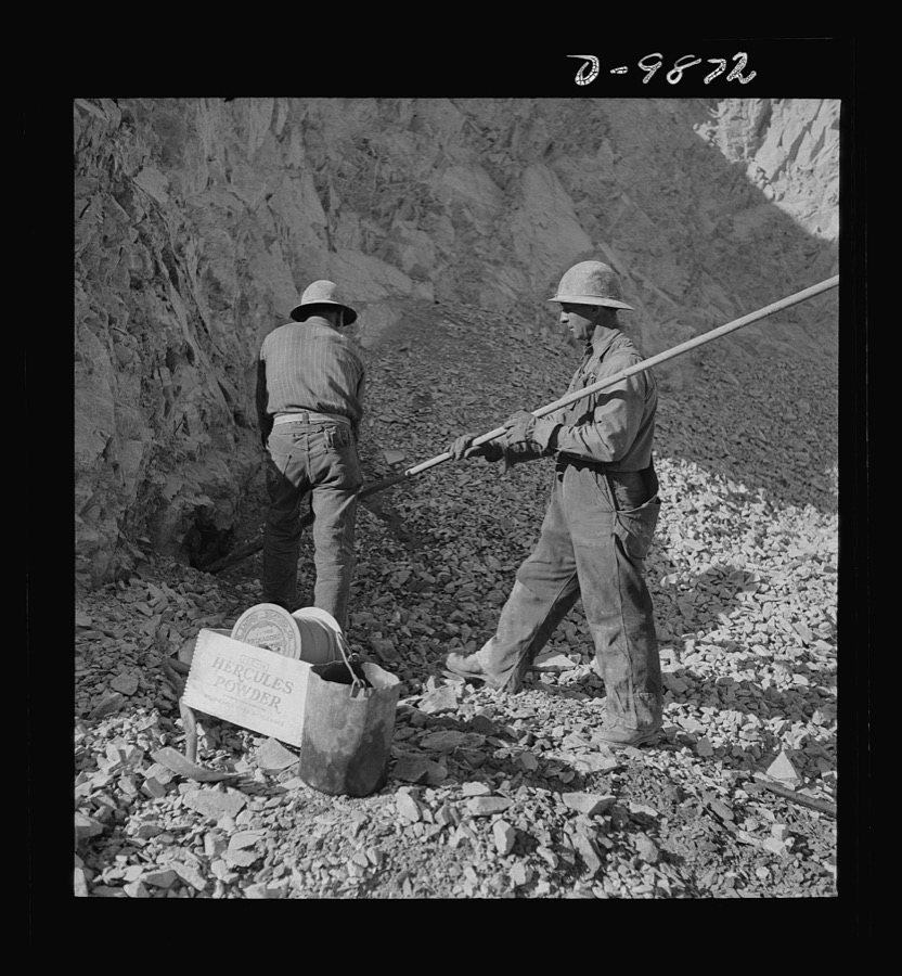
Bingham Canyon, Utah. Blasting at an open-pit mine of the Utah Copper Company
Feininger, Andreas, 1942. Library of Congress
Bingham Canyon, Utah. Open-pit workings of the Utah Copper Company
Feininger, Andreas, 1942. Library of Congress
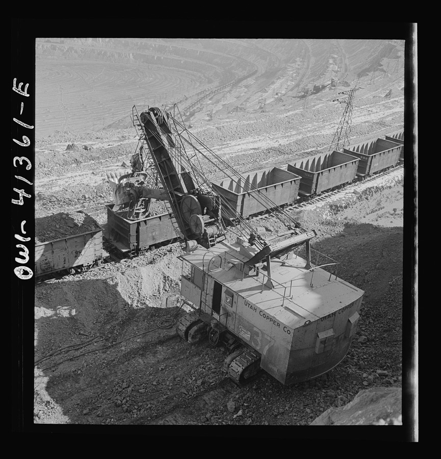
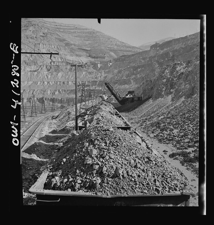
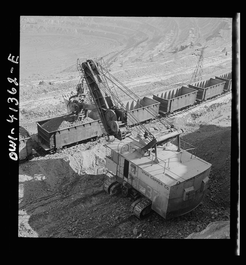
Bingham Canyon, Utah. Loading ore into car with a power shovel at an open-pit mine of the Utah Copper Company
Feininger, Andreas, 1942. Library of Congress
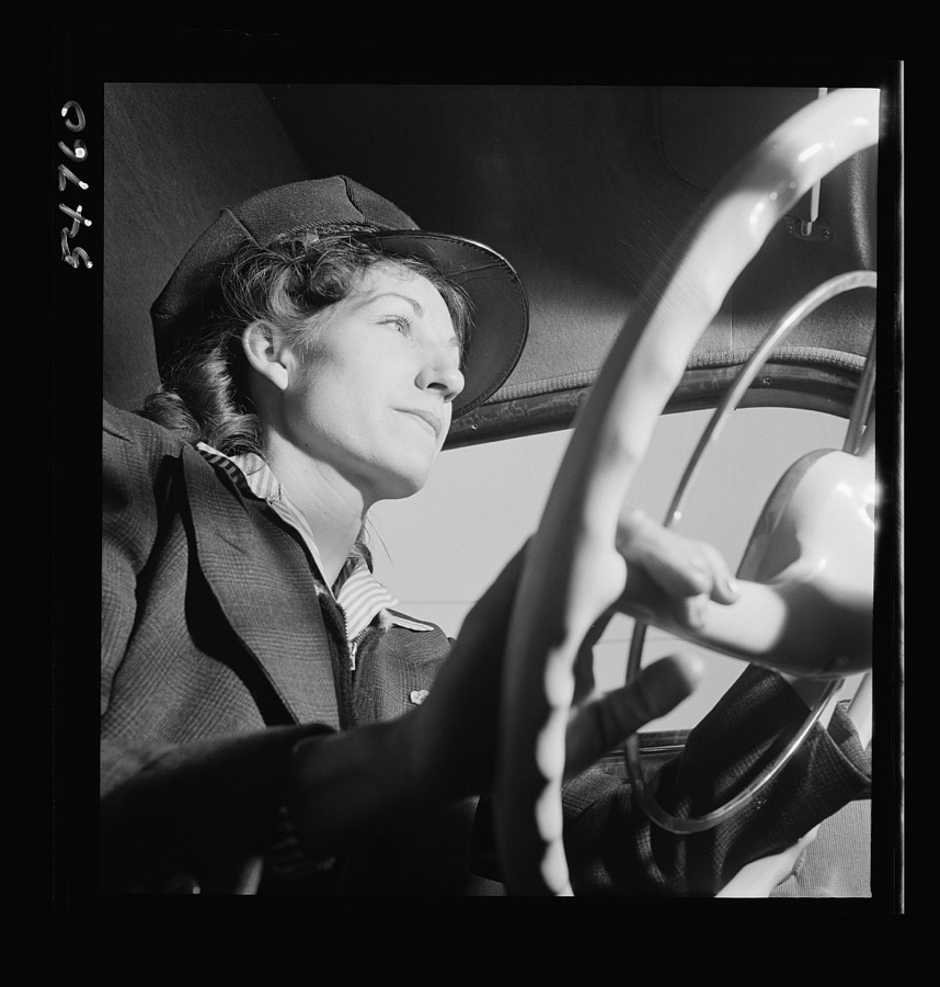
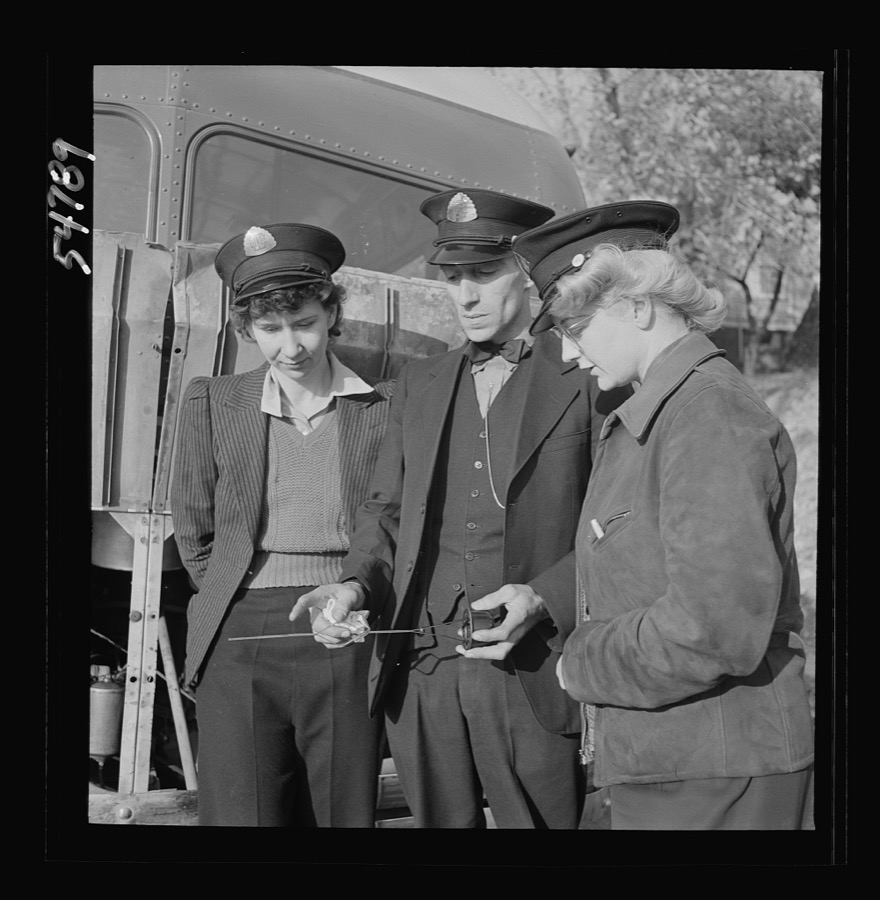
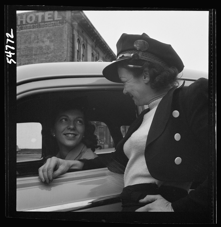
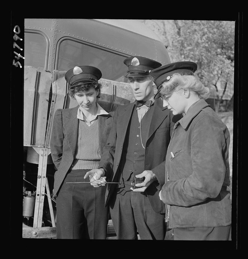
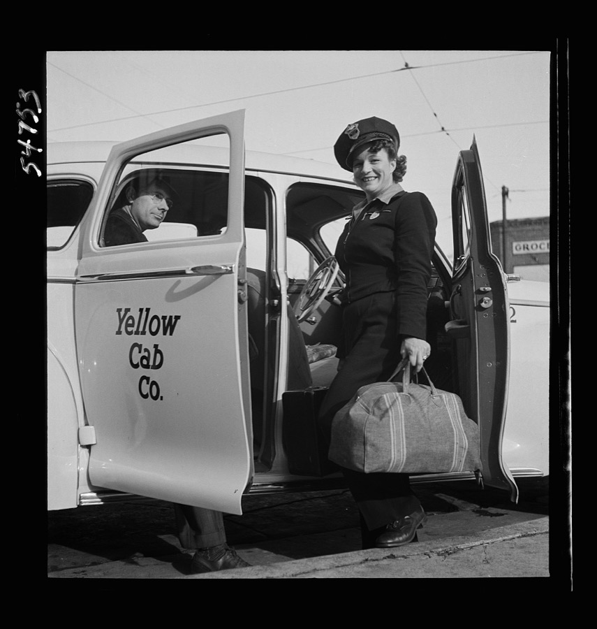
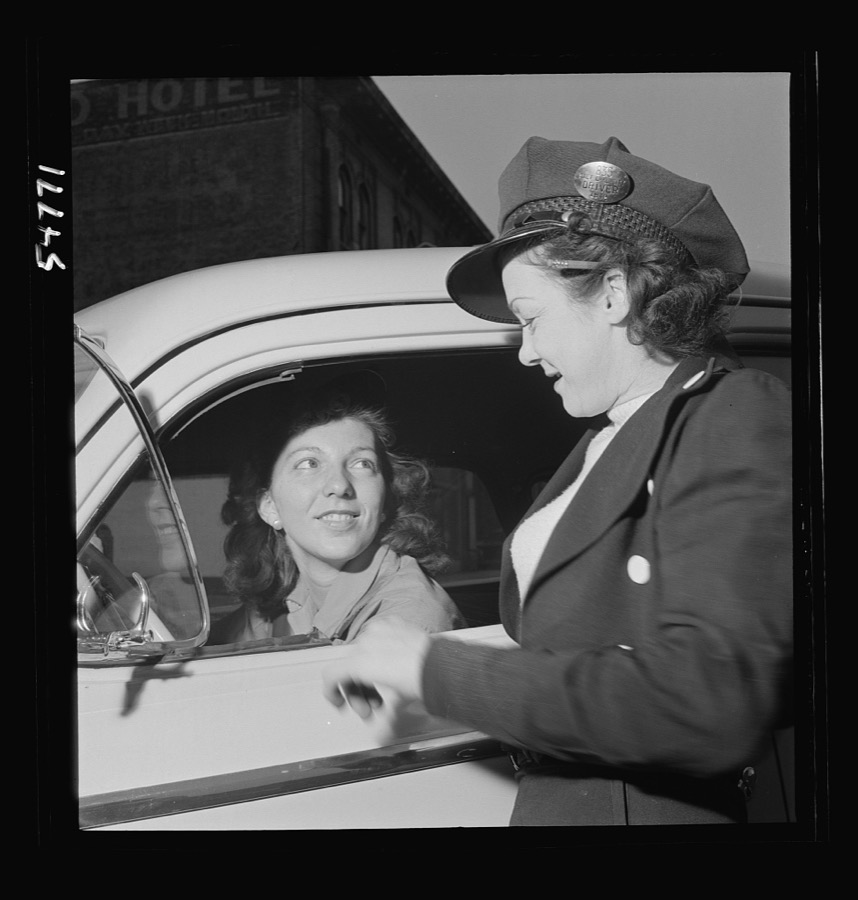
Training women to operate buses and taxicabs
Feininger, Andreas, 1942. Library of Congress
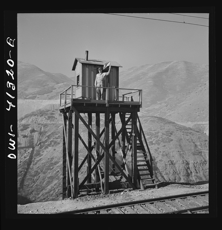
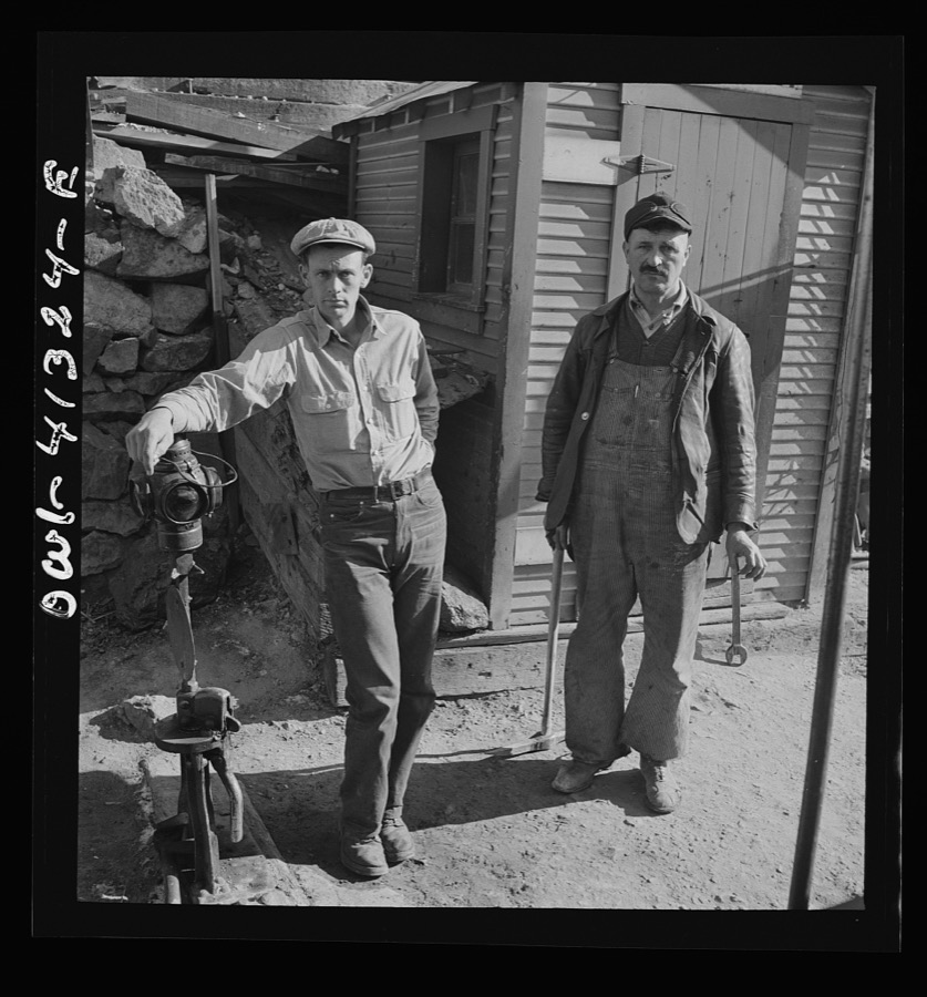
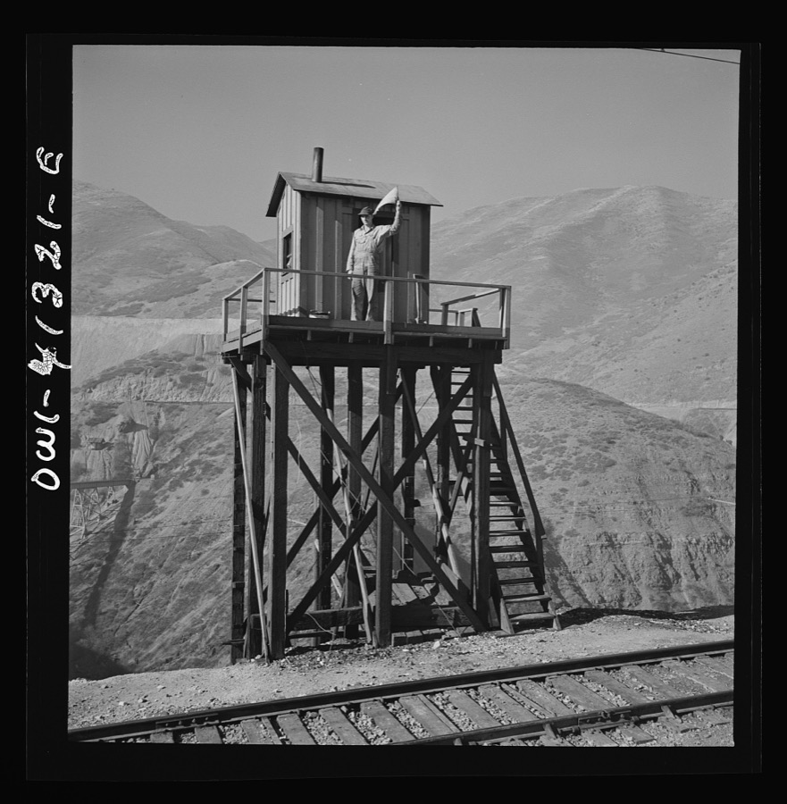
Bingham Canyon, Utah. Signalman of the Utah Copper Company at its open-pit mine workings
Feininger, Andreas, 1942. Library of Congress
Bingham Canyon, Utah. Blasting at the open-pit mine of the Utah Copper Company
Feininger, Andreas, 1942. Library of Congress
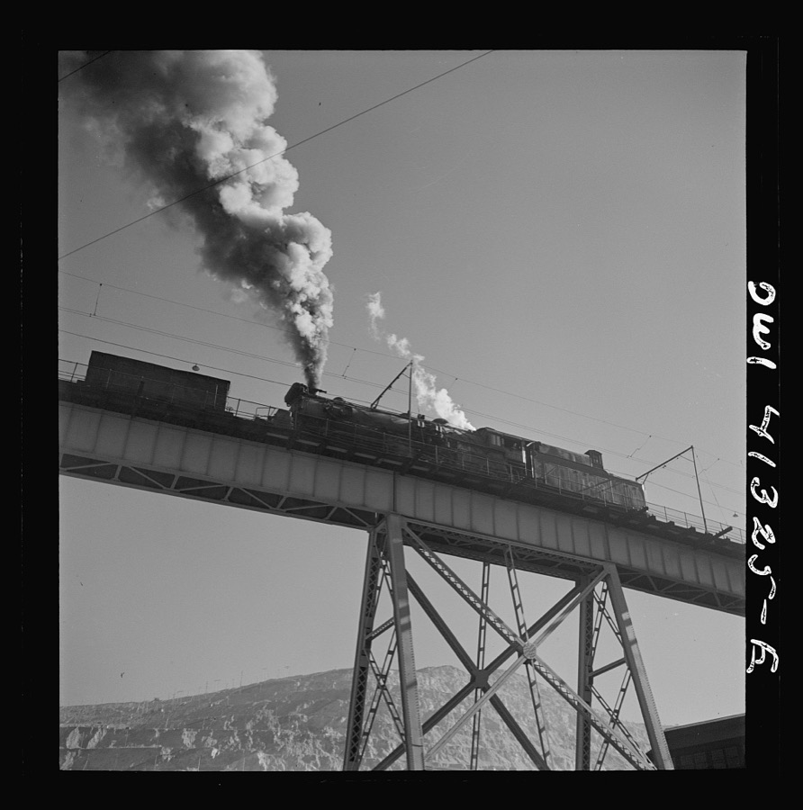
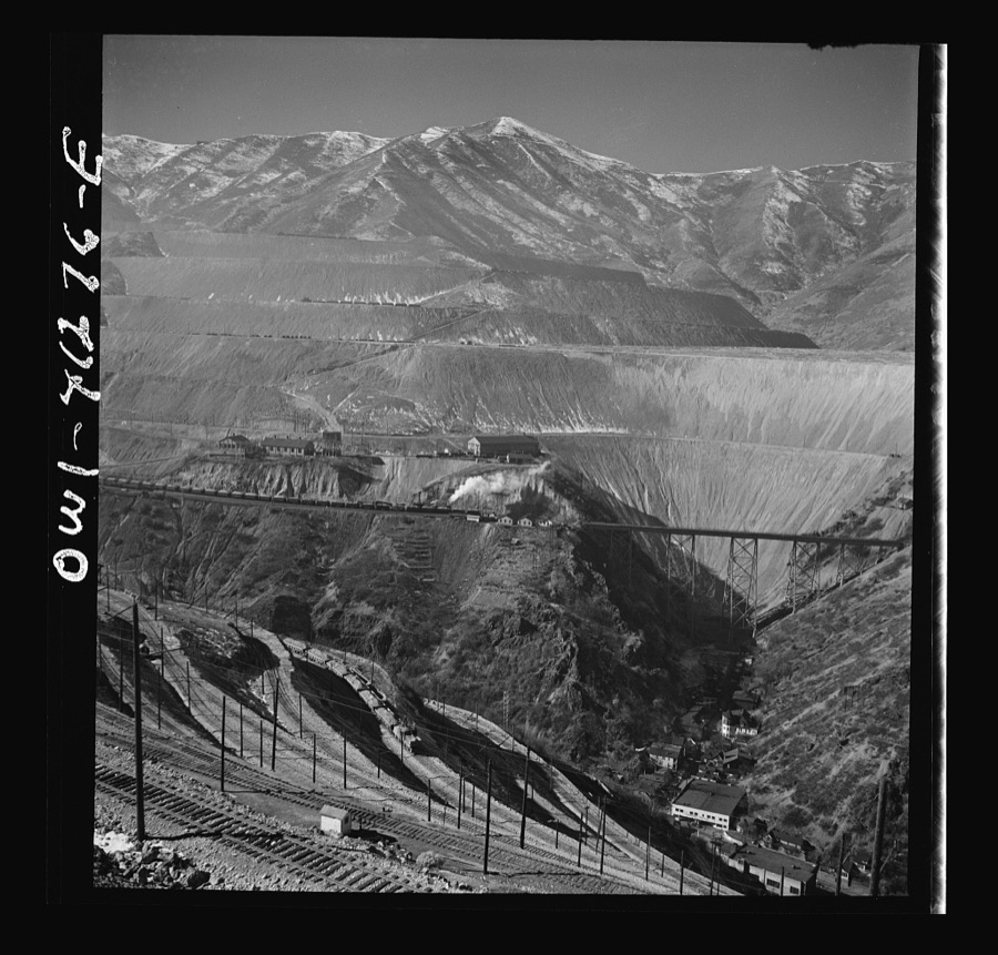
Bingham Canyon, Utah. Ore trains on a trestle bridge above an open-pit mine of the Utah Copper Company
Feininger, Andreas, 1942. Library of Congress
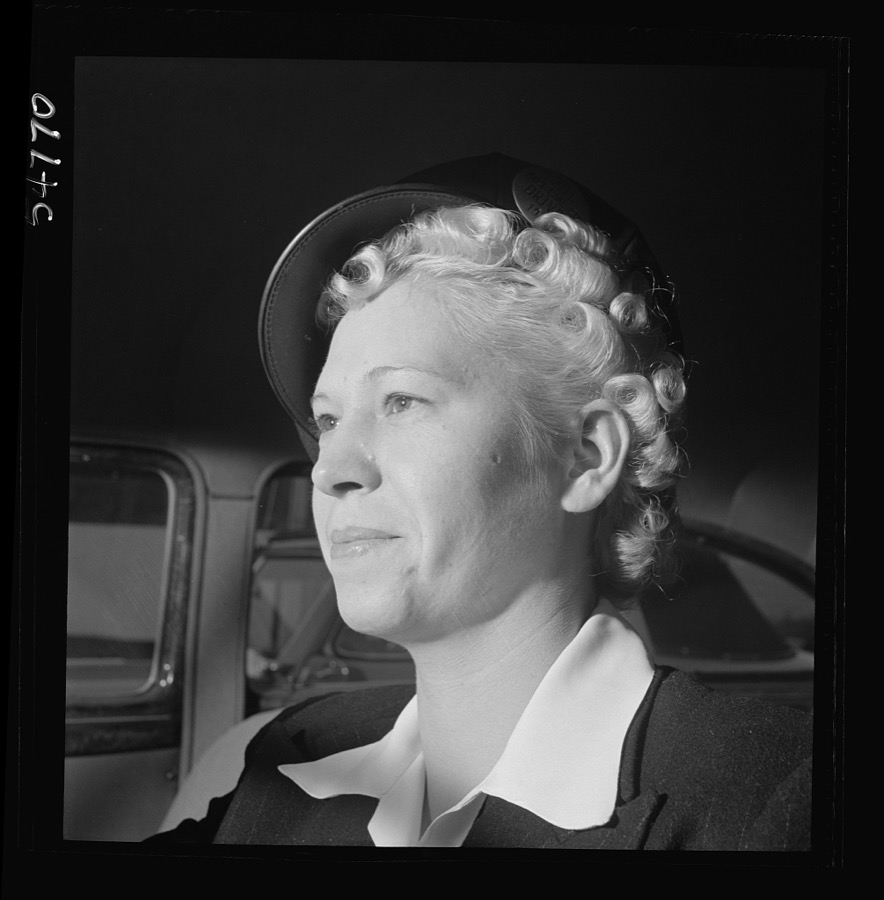
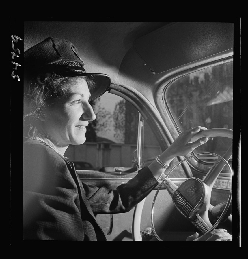
Portrait of a woman training to operate buses and taxicabs
Feininger, Andreas, 1942. Library of Congress
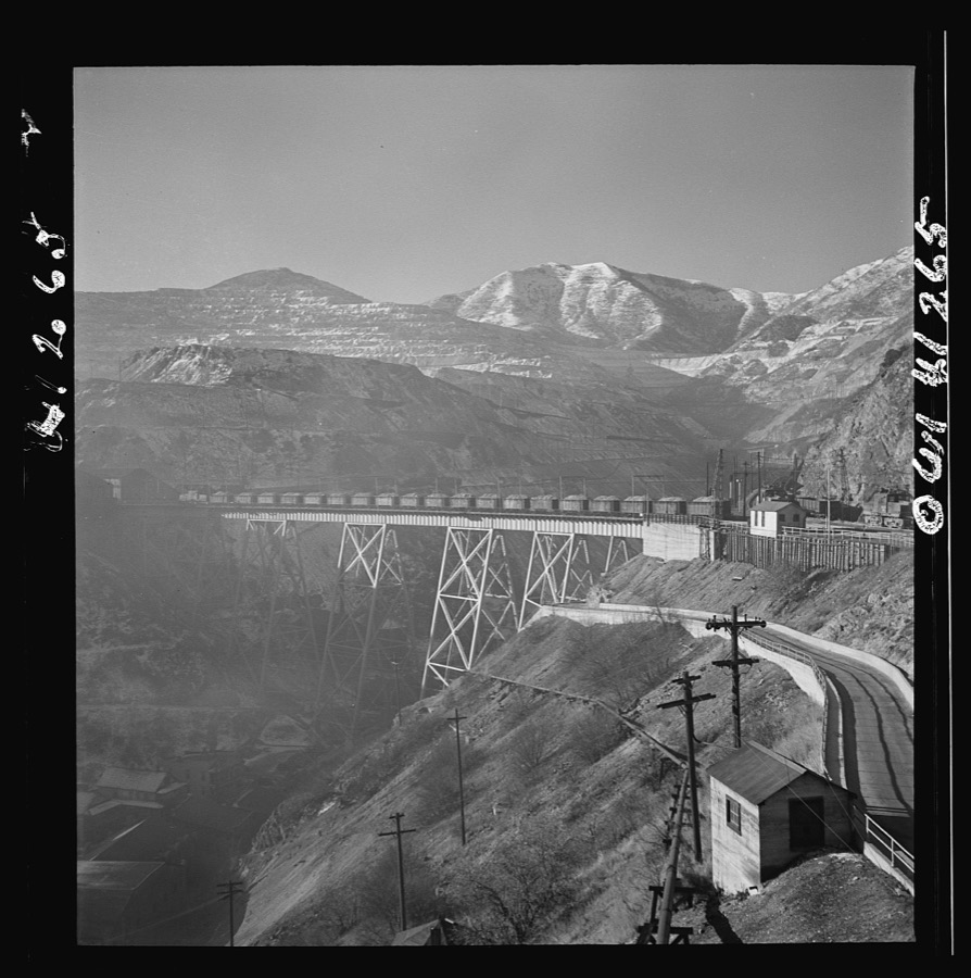
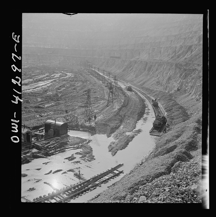
Bingham Canyon, Utah. Open-pit workings of the Utah Copper Company, showing loaded ore trains in the foreground
Feininger, Andreas, 1942. Library of Congress
Training women to operate buses and taxicabs
Feininger, Andreas, 1942. Library of Congress
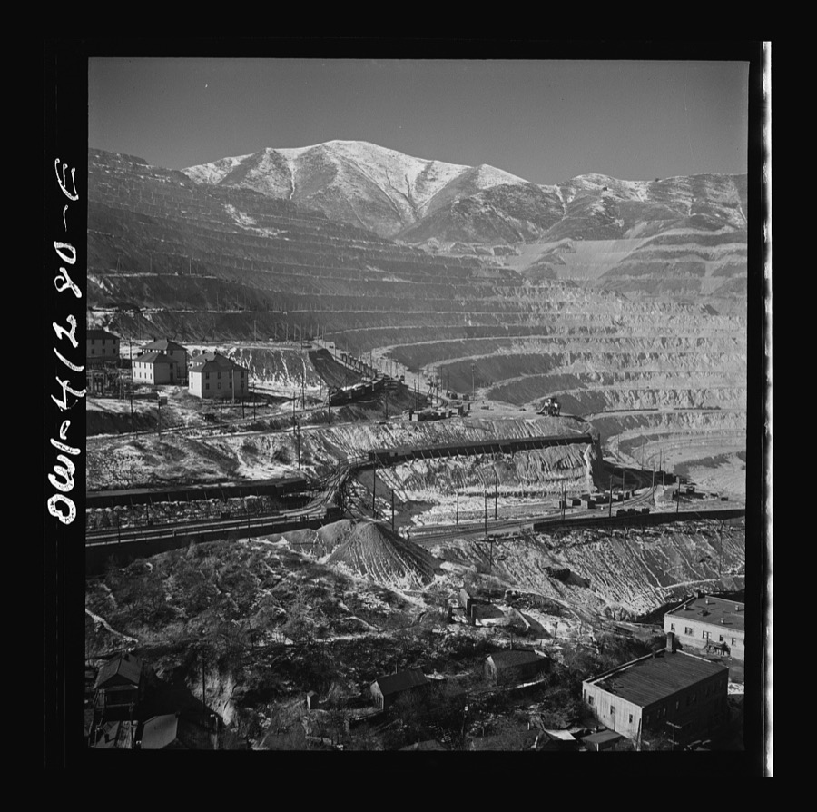
Bingham Canyon, Utah. Overall view of an open-pit mine of the Utah Copper Company showing railroads, buildings, trestle bridge, and mountains of ore
Feininger, Andreas, 1942. Library of Congress
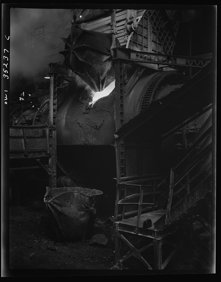
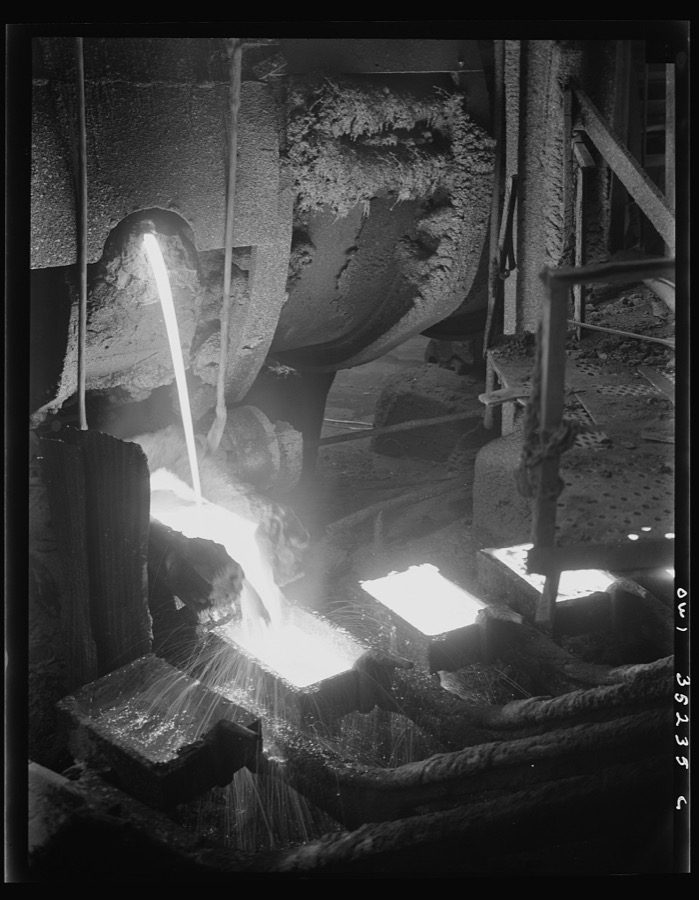
Garfield, Utah. Loading a copper converter at the Garfield smelter of the American Smelting and Refining Company
Feininger, Andreas, 1942. Library of Congress
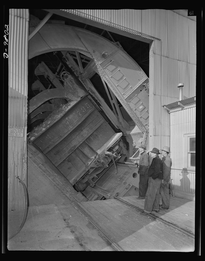
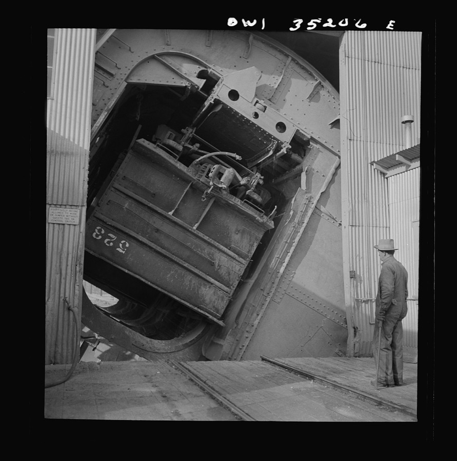
Production. Copper. A rotary car dumper discharging copper ore at the Magna, Utah mill of the Utah Copper Company. Vast quantities of copper needed for war production are treated at the company's plants at Magna and Arthur
Feininger, Andreas, 1940. Library of Congress
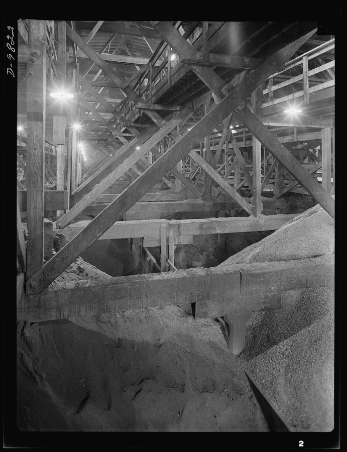
Production. Copper. Copper concentrates storage bins at the Garfield, Utah smelter of the American Smelting and Refining Company
Feininger, Andreas, 1940. Library of Congress
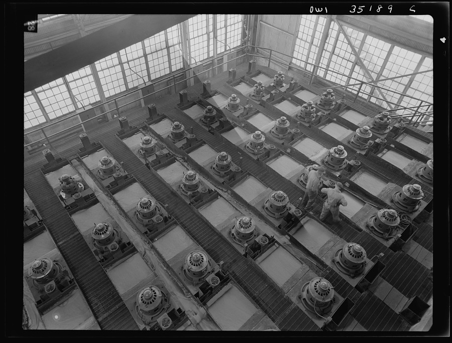
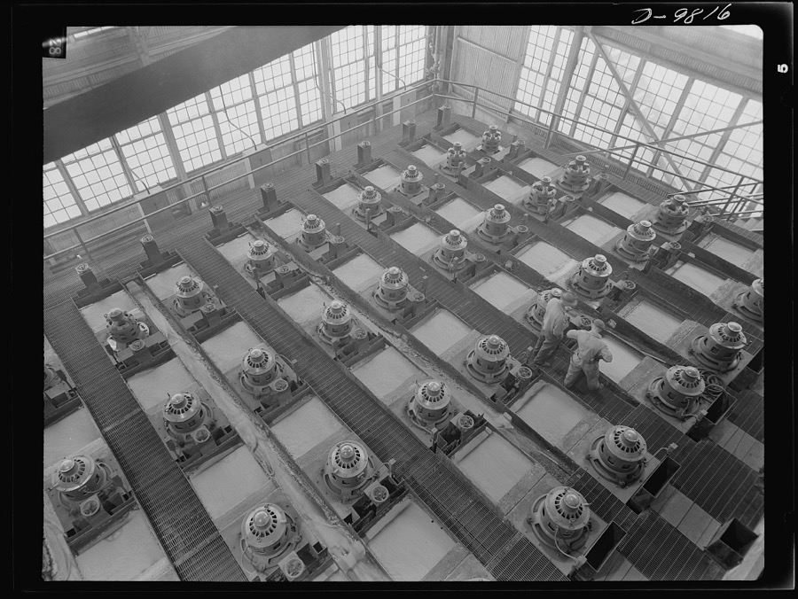
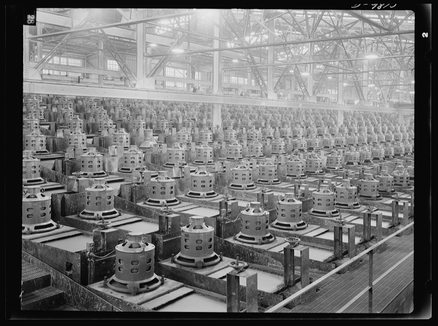
Flotation machines at one of the copper concentrators of the Utah Copper Company in its plants at Magna and Arthur, Utah
Feininger, Andreas, 1942. Library of Congress
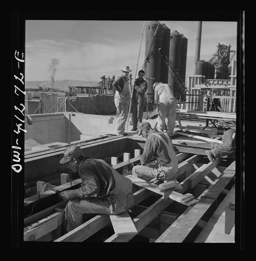
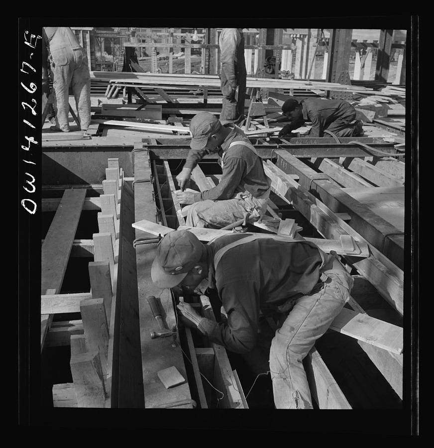
Bingham Canyon, Utah. Building a trestle bridge at the open-pit mines of the Utah Copper Company
Feininger, Andreas, 1942. Library of Congress
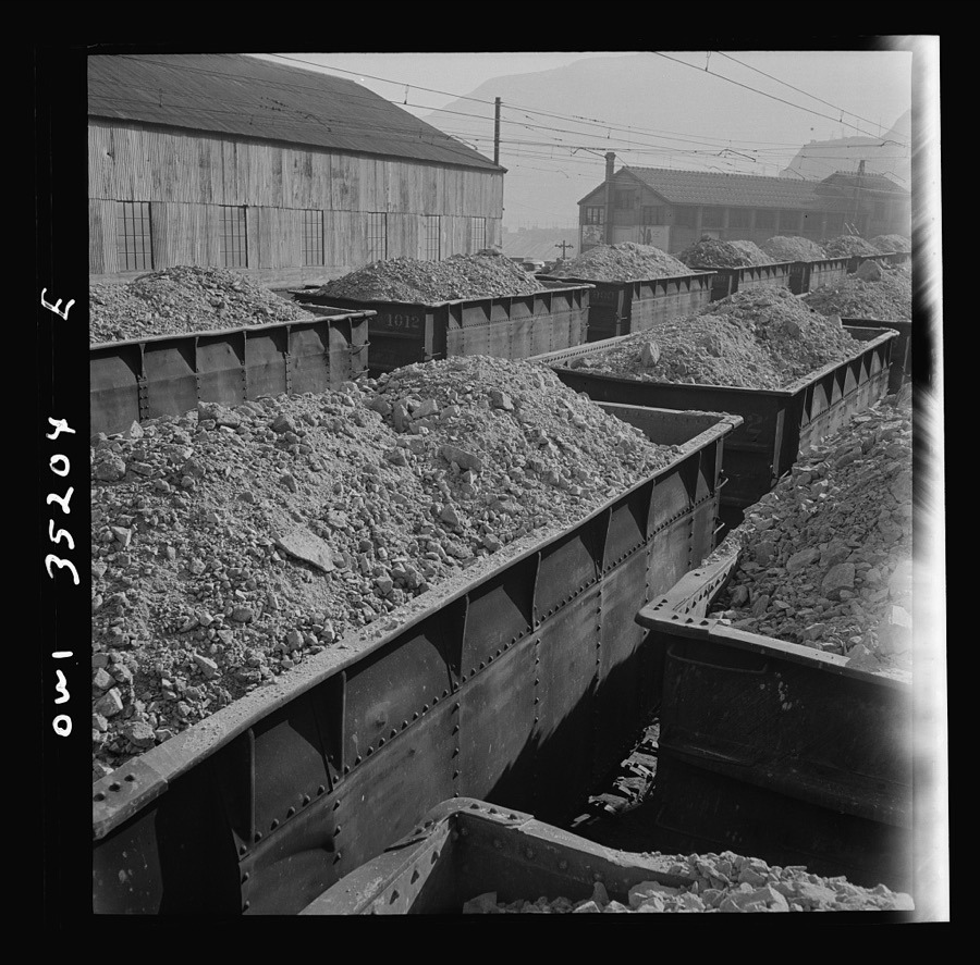
Bingham Canyon, Utah. Looking over the tops of cars loaded with ore at an open-pit mine of the Utah Copper Company
Feininger, Andreas, 1942. Library of Congress
Training women to operate buses and taxicabs
Feininger, Andreas, 1942. Library of Congress
Training women to operate buses and taxicabs
Feininger, Andreas, 1942. Library of Congress
Production. Copper. Flotation machines at one of the copper concentrators of the Utah Copper Company. Its plants at Magna and Arthur in Utah are treating vast quantities of the copper so vital for war purposes
Feininger, Andreas, 1940. Library of Congress
Magna, Utah. A rotary car dumper discharging copper ore at the mill
Feininger, Andreas, 1942. Library of Congress
Training women to operate buses and taxicabs
Feininger, Andreas, 1942. Library of Congress
Bingham Canyon, Utah. Utah Copper Company signalman
Feininger, Andreas, 1942. Library of Congress
Training women to operate buses and taxicabs
Feininger, Andreas, 1942. Library of Congress
Bingham Canyon, Utah. Building a trestle bridge at the open-pit mine of the Utah Copper Company
Feininger, Andreas, 1942. Library of Congress
Trains of ore containing copper arriving at one of the large refining plants of the Utah Copper Company
Feininger, Andreas, 1942. Library of Congress
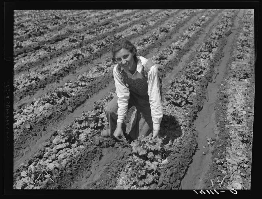
Ellen Mark, daughter of Louie Mark, Farm Security Administration rehabilitation client of West Jordan, Salt Lake County, Utah, cuts a head of lettuce as part of the family's home food supply taken from their truck farm
Photographer not recorded, 1940. Library of Congress
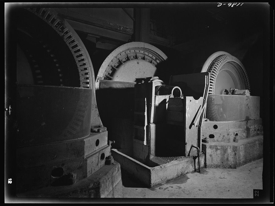
Production. Copper. Large-size motors are required to drive the ball mills at the Magna and Arthur mills of the Utah Copper Company where vast quantities of copper ore are treated
Feininger, Andreas, 1940. Library of Congress
Production. Copper. Flotation machines at one of the copper concentrators of the Utah Copper Company. Its plants at Magna and Arthur in Utah are treating vast quantities of the copper so vital for war purposes
Feininger, Andreas, 1940. Library of Congress
Bingham Canyon, Utah. Getting ready to blast ore at the Utah Copper Company
Feininger, Andreas, 1942. Library of Congress
Bingham Canyon, Utah. Open-pit workings of the Utah Copper Company
Feininger, Andreas, 1942. Library of Congress
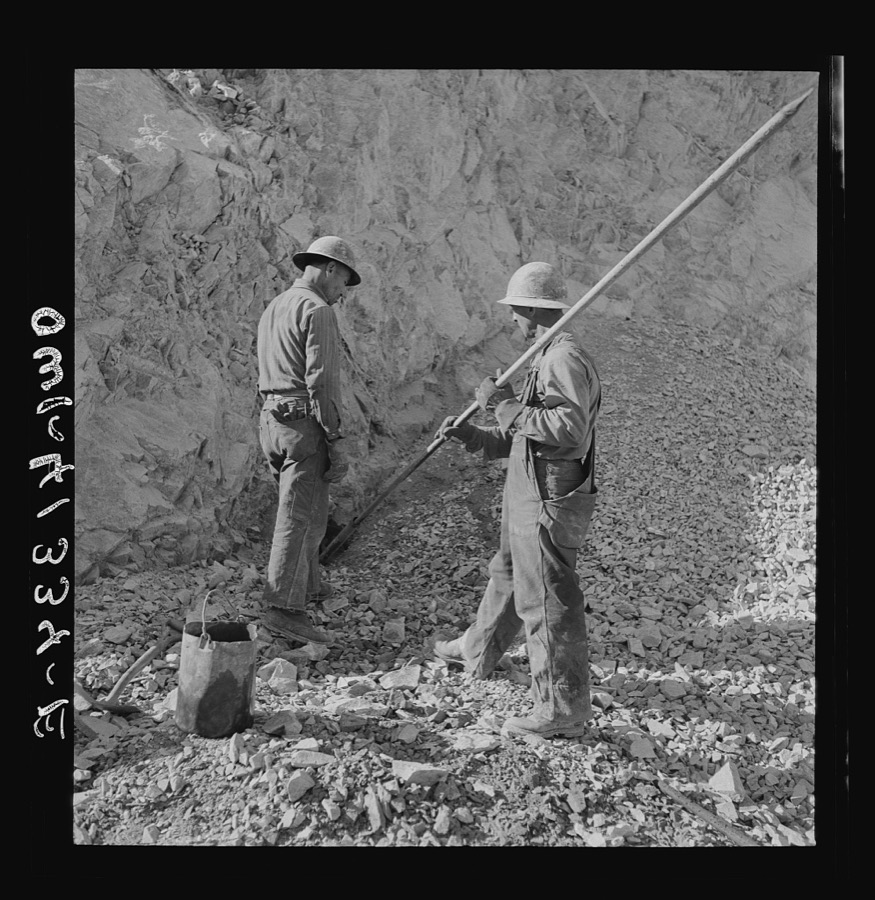
Utah Copper: Bingham Mine. Tamping a blasting charge at the open-pit mining operations of Utah Copper Company, at Bingham Canyon, Utah
Feininger, Andreas, 1942. Library of Congress
Bingham Canyon, Utah. Signalman of the Utah Copper Company at its open-pit mine workings
Feininger, Andreas, 1942. Library of Congress
Bingham Canyon, Utah. Loading ore into car with a power shovel at an open-pit mine of the Utah Copper Company
Feininger, Andreas, 1942. Library of Congress
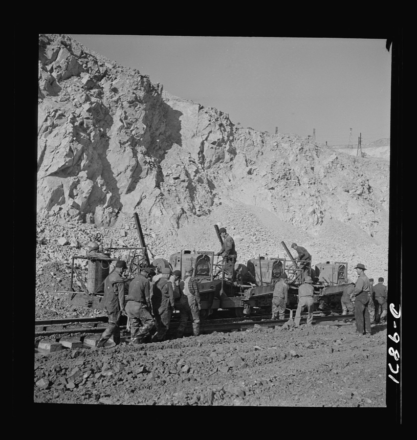
Utah Copper: Bingham Mine. Track-laying crew at open-pit mining operations of Utah Copper Company, at Bingham Canyon, Utah
Feininger, Andreas, 1942. Library of Congress
Bingham Canyon, Utah. Ore trains in a trestle bridge above an open pit mine of the Utah Copper Company
Feininger, Andreas, 1942. Library of Congress
Garfield, Utah. Making molds of blister copper at the Garfield smelter of the American Smelting and Refining Ccompany
Feininger, Andreas, 1942. Library of Congress
Training women to operate buses and taxicabs
Feininger, Andreas, 1942. Library of Congress
Training women to operate buses and taxicabs
Feininger, Andreas, 1942. Library of Congress
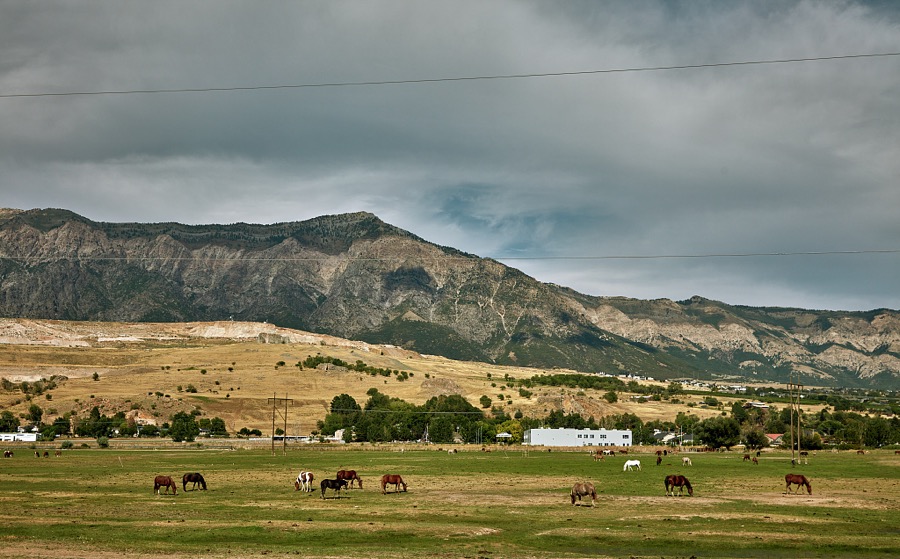
Horses graze beneath the Wasatch Range near Pleasant Valley, Utah
Highsmith, Carol M, 2022. Library of Congress
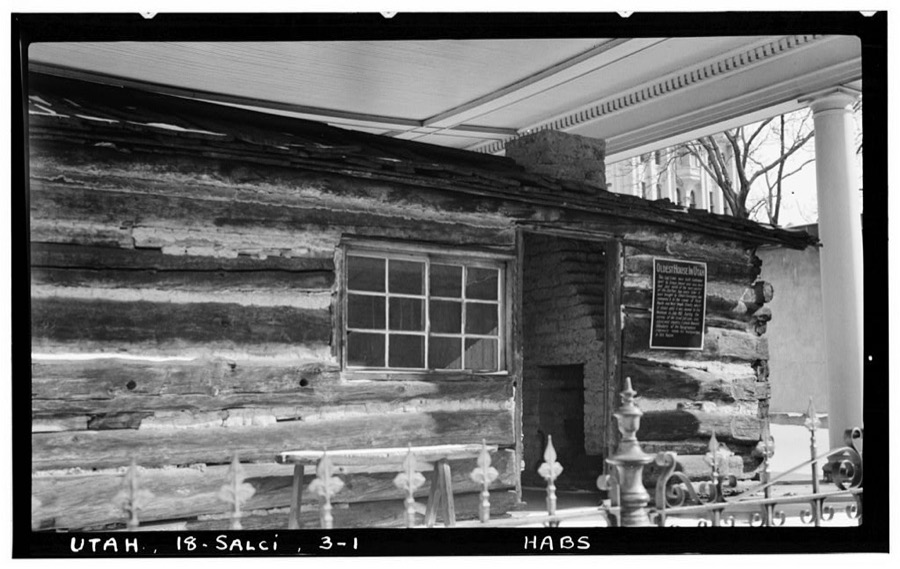
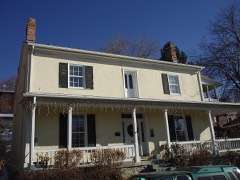
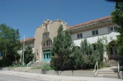
Osmyn Deuel Log Cabin, Temple Square (moved from original site), Salt Lake City, Salt Lake County, UT
Photographer not recorded. Library of Congress
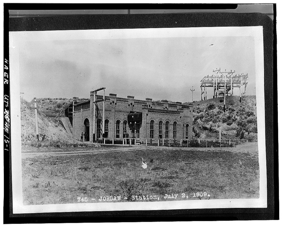
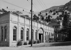
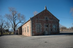
Salt Lake City Water & Electrical Power Company, Jordan Narrows Hydroelectric Plant, Jordan River, Riverton, Salt Lake County, UT
Photographer not recorded. Library of Congress
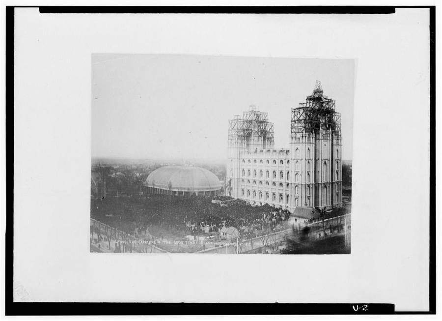
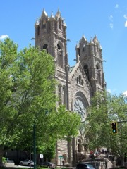
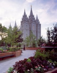
Salt Lake Temple, Temple Square, Salt Lake City, Salt Lake County, UT
Photographer not recorded. Library of Congress
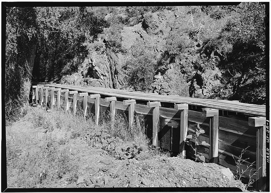
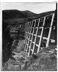
Utah Power & Light Company, Stairs Station Wooden Flume, Holladay, Salt Lake County, UT
Photographer not recorded. Library of Congress
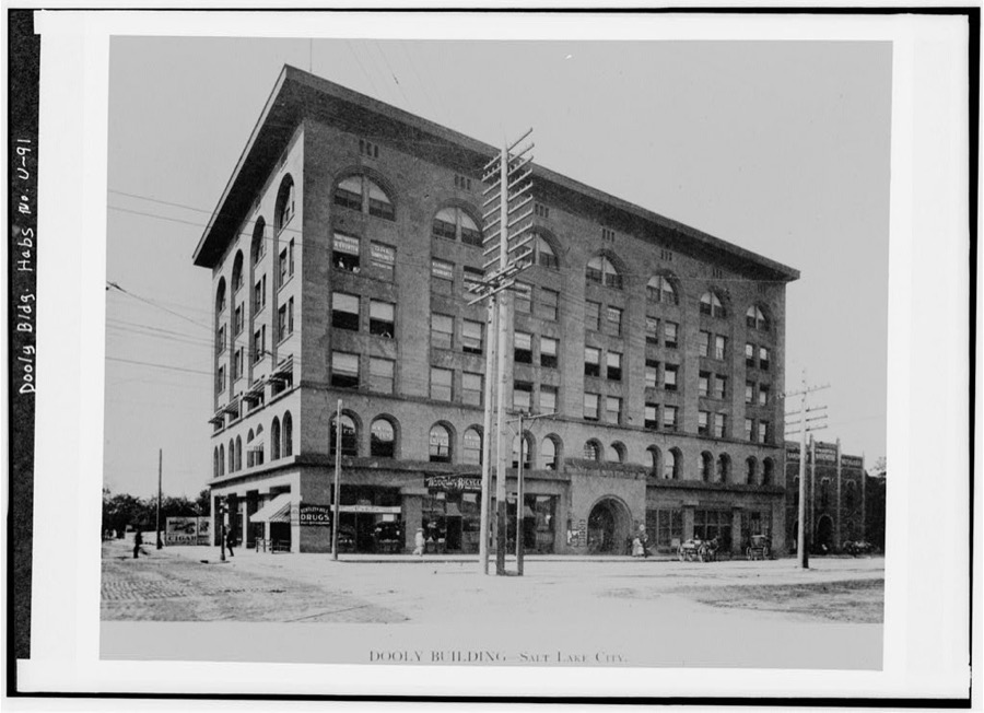
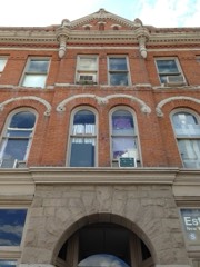
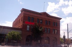
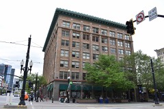
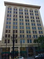
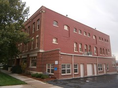
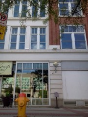
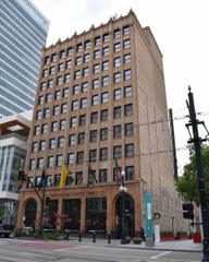
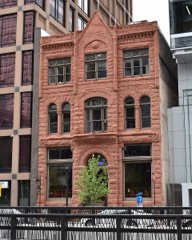
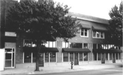
Dooly Building, 109 West Second South Street, Salt Lake City, Salt Lake County, UT
Photographer not recorded. Library of Congress
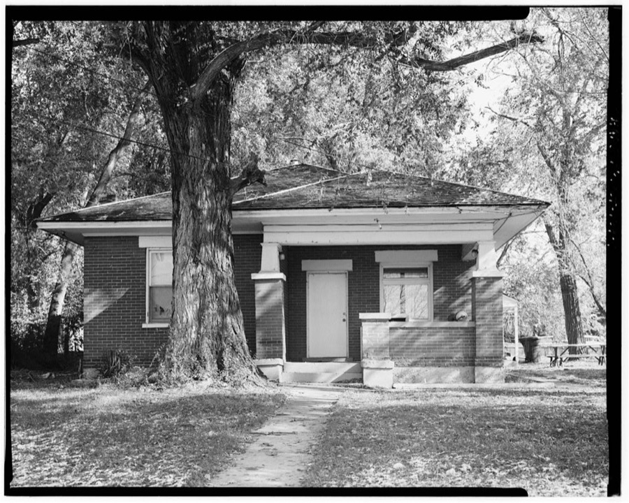
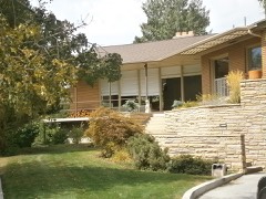
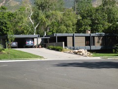
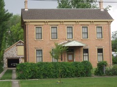
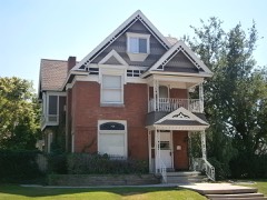
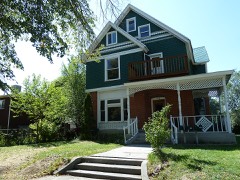
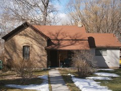
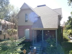
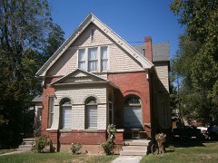
Horace W. Burgon House, 7501 South 700 East, Union, Salt Lake County, UT
Photographer not recorded. Library of Congress

Places on the National Register

399

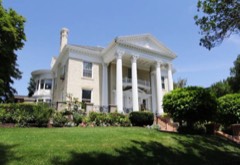
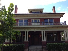
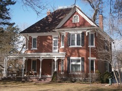
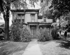
Every property in this county listed on the National Register of Historic Places, with the year it was listed and the federal nomination document.

Photograph PropertyType ListedReference
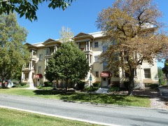
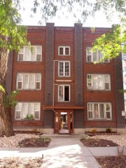
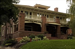
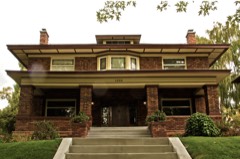
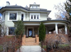
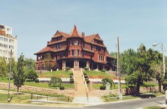
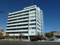
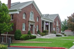
19th Ward Meetinghouse and Relief Society Hallbuilding197676001820
J. R. Allen Housebuilding198080003912
Allsop-Jensen Housebuilding199696000885
Altadena Apartmentsbuilding201009001291
Dyre & Maria Amundsen Housebuilding201515000131
Thomas and Beda Anderberg Housebuilding200404001420
Alfred C. and Annie L. Olsen Anderson Housebuilding199999001556
Charles M. and Fannie M. Allsop Anderson Housebuilding199999001558
Frederick C. and Anna Anderson Housebuilding199797000641
John A. Anderson Housebuilding199292001066
Y. Martin and Hannah Nelson Anderson Housebuilding199999001549
Fortunato Anselmo Housebuilding197979002499
George Arbuckle Housebuilding198282004130
Armista Apartmentsbuilding198989001736
Francis Armstrong Housebuilding198080003914
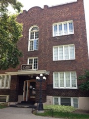
Ashby Apartmentsbuilding200606001067
Avenues Historic Districtdistrict198080003915
B'nai Israel Templebuilding197878002666
Charles Baldwin Housebuilding198282004131
Nathaniel Baldwin Housebuilding198585000963
Simon Bamberger Housebuilding197575001814
Bateman Agriculture and Development Companybuilding199696000888
Beall, Burtch W., Jr., and Susan, Housebuilding2021100006366
Jeremiah Beattie Housebuilding198383004421
Reid Beck Housebuilding201211001067
Beckstead-Butterfield Housebuilding2021100006389
Beehive Housebuilding197070000626
William F. Beer Estatebuilding197777001306
Ebenezer Beesley Housebuilding197979002500
Belvedere Apartmentsbuilding201212000271
Howard and Marian Bennion Housebuilding201313000640
Benworth-Chapman Apartments and Chapman Cottagesbuilding200404001417
Bertolini Blockbuilding197676001822
Amanda Conk Best Housebuilding200808001154
Best-Cannon Housebuilding198080003916
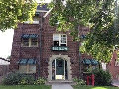
Bigelow Apartmentsbuilding200404001418
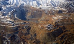
Bingham Canyon Open Pit Copper Minesite196666000736
Booth-Parsons Housebuilding201212000272
Boulevard Gardens Historic Districtdistrict2018100003268
Ernie and Irmgard Bourne Housebuilding201616000418
Rawsel and Jane Bradford Housebuilding201514001137
Brady-Brady Housebuilding200404001419
David B. Brinton Housebuilding197878002665
Brinton-Dahl Housebuilding198080003917
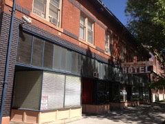
Broadway Hotelbuilding198282004132
Brooks Arcadebuilding82004133
Building at 561 W. 200 Southbuilding198282004848
Building at Rear, 537 W. 200 Southbuilding198282004849
Harold W. and Evelyn Burton Housebuilding2017100001440
Butler School Teachers Dormitorybuilding2023100008743
Butler-Wallin Housebuilding200505000593
John P. Cahoon Housebuilding198383003186
George M. Cannon Housebuilding198383004419
Capitol Hill Historic Districtdistrict198282004135
Capitol Hill Historic District (Boundary Increase)building200201001451
Carlson Hallbuilding96000414
Santa Anna Casto Housebuilding198383004422
Cathedral of the Madeleinebuilding197171000845
Centennial Homebuilding200101000960
Central City Historic Districtdistrict199696000940
Central City Historic District (Boundary Increase)district200101000823
Central Warehousebuilding198282004136
Chapman Branch Librarybuilding198080003918
Isaac Chase Millbuilding197070000627
Morton A. Cheesman Housebuilding198282004137
William Christopherson Housebuilding199999001554
City Creek Canyon Historic Districtdistrict198080003919
Isaac C. and Dorothy S. Clark Housebuilding200201001452
Clift Buildingbuilding198282004139
Cluff Apartmentsbuilding198989001739
Henry A. and Tile S. Cohn Housebuilding199696000871
Congregation Montefiorebuilding198585001395
Congregation Sharey Tzedek Synagoguebuilding198585001396
Continental Bank Buildingbuilding198282004850
Converse Hallbuilding197878002685
Copperton Community Methodist Churchbuilding200707000080
Copperton Historic Districtdistrict198686002642
Cornell Apartmentsbuilding198989001741
Corona Apartmentsbuilding198989001742
Almon A. Covey Housebuilding198080003920
Hyrum T. Covey Housebuilding198080003921
Cramer Housebuilding198282004140
Crescent Elementary Schoolbuilding200000001303
Crossgrove Housebuilding201211001068
Crown Cleaning and Dyeing Company Buildingbuilding200303000633
William Culmer Housebuilding197474001935
Byron Cummings Housebuilding198383003949
Genevieve & Alexander Curtis Housebuilding201010000730
Arthur and Ellen Cushing Housebuilding200000001304
Ernest and Sadie Cushing Housebuilding199696000887
James and Maria Long Cushing Housebuilding199999001546
Daft Blockbuilding197676001823
Davis Deaconess Homebuilding199594001583
Denver and Rio Grande Railroad Stationbuilding197575001815
Devereaux Housebuilding197171000847
Harper J. Dininny Housebuilding198383003950
Henry Dinwoody Housebuilding197474001936
Emma Olive Dobbs Housebuilding199696000889
Hannah Nash Dowding Housebuilding200000001305
Dowding-Rasmussen Housebuilding200000001306
Draper Park Schoolbuilding198080003913
Draper Poultrymen and Egg Producers' Plantbuilding200404000403
Draper-Steadman Housebuilding199292001057
Eagles Buildingbuilding2019100004480
Emigration Canyonsite196666000737
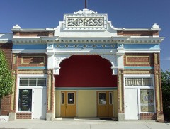
Empress Theatrebuilding198585000962
Enniss Auto Service Stationbuilding2024100010546
Erickson Artillo Dairy Farmhousebuilding201515000677
Evergreen Avenue Historic Districtdistrict200707000081
Exchange Place Historic Districtdistrict197878002669
J. Leo Fairbanks Housebuilding198484002198
Benjamin and Jane Cook Farrer Housebuilding199292001065
John William Farrer Housebuilding199292001064
Felt Electricbuilding198282004141
Fifth Ward Meetinghousebuilding197878002670
Firestation No. 8building198383004423
First Church of Christ Scientistbuilding197676001824
First Methodist Episcopal Churchbuilding199594001582
First National Bankbuilding197676001825
First Security Bank Buildingbuilding200505001107
Fish-Baughman Housebuilding201616000420
Albert Fisher Mansion and Carriage Housebuilding200883004675
Fitzgerald Housebuilding16000679
Perry and Agnes Wadsworth Fitzgerald Housebuilding200404000404
Perry and Agnes Fitzgerald House and Cabin (Additional Documentation)building16000679
Perry and Agnes Fitzgerald House and Cabin (Boundary Decrease)building2023100009193
Ford Motor Company Service Buildingbuilding200000001302
Forest Dale Historic Districtdistrict200909000241
Fort Douglasdistrict197070000628
J. A. Fritsch Blockbuilding197676001826
W.P. Fuller Paint Company Office and Warehousebuilding200505001037
George and Ellen Furgis Housebuilding201515000399
Gardner Millbuilding198282004153
Archibald R. and Violet Clark Gardner Housebuilding199797000642
Robert Jr. Gardner Housebuilding2018100001441
Garside-McMullin Housebuilding198282004852
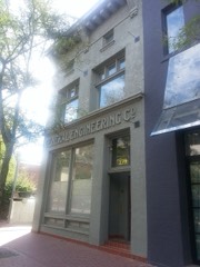
General Engineering Company Buildingbuilding198080003922
John and Jennette Gerrard Housebuilding2022100008273
Gibbs-Thomas Housebuilding198484002202
Gilmer Park Historic Districtdistrict199696000314
Granite Hydroelectric Power Plant Historic Districtdistrict198989000283
Granite LDS Ward Chapel-Avard Fairbanks Studiobuilding200505000364
Granite Lumber Company Buildingbuilding03000629
Granite Paper Millbuilding197171000848
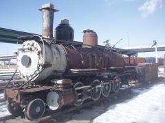
Grant Steam Locomotive No. 223structure197979002501
Riley H. and Sarah Ann Russell Graves Housebuilding199999001559
Alvin and Annie Green Housebuilding200000000356
Greenwald Furniture Company Buildingbuilding198282004851
Hall, Nels G., Housebuilding198080003923
Nephi J. Hansen Housebuilding199999001562
Orlando H. and Emma H. Hardcastle Housebuilding199999001560
Harris Apartmentsbuilding199191001445
Hawardenbuilding198080003924
William Hawk Cabinstructure197878002671
Henderson Blockbuilding197878002672
Thomas and Mary Hepworth Housebuilding200000000404
Herald Buildingbuilding197676001827
Highland Park Historic Districtdistrict199898000405
Lewis S. Hills Housebuilding197777001307
Lewis S. Hills Housebuilding199090001141
Hintze-Anders Housebuilding198383004424
Edward and Irene Hobbs Housebuilding2018100002702
Hollywood Apartmentsbuilding199494000302
Abba R. Holman Blockbuilding199292001063
Samuel and Geneva Holt Farmsteadbuilding200101000963
Holy Trinity Greek Orthodox Churchbuilding197575001816
Hotel Albertbuilding198282004142
Hotel Utahbuilding197878002673
Hotel Victorbuilding198282004143
Alfred and Hennie Huetter Housebuilding2019100004477
Immanuel Baptist Churchbuilding197878002668
Independent Order of Odd Fellows Hallbuilding197777001308
Iris Theater, Apartments and Commercial Buildingbuilding200101000959
Irving Junior High Schoolbuilding197878002674
Ivanhoe Apartmentsbuilding198989001738
Hyrum and Selma Erickson Jacobson Housebuilding199999001550
Japanese Church of Christbuilding198282004144
Amos and Ida Jensen Housebuilding200000001307
James B. and Ellen May Cushing Jensen Housebuilding199797000635
Joseph F. and Isabelle Jensen Housebuilding199898000640
Michael Jensen Housebuilding199999001557
Jensen-Clark Housebuilding200000001298
Jensen-Jensen Housebuilding200000001299
David and Hattie S. Rasmuson Johnson Housebuilding199999001553
John A. and Annie C. Olsen Johnson Housebuilding199999001547
Jordan School District Administration Buildingbuilding198585000810
John W. Judd Housebuilding198383003952
Judge Buildingbuilding197979002502
Emanuel Kahn Housebuilding197777001309
Karrick Blockbuilding197676001828
Kearns Buildingbuilding198282004145
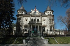
Thomas Kearns Mansion and Carriage Housebuilding197070000631
Kearns-St. Ann's Orphanagebuilding198080003925
David Keith Mansion and Carriage Housebuilding197171000849
Keith-O'Brien Buildingbuilding197777001310
Albert H. Kelly Housebuilding198383004420
John B. Kelly Housebuilding198383003172
Malcolm and Elizabeth Keyser Housebuilding200808000881
Keyser-Cullen Housebuilding199999001561
William D. Kuhre Housebuilding198787001175
Ladies Literary Club Clubhousebuilding197878002675
John C. and Mary Landenberger Housebuilding200504001567
James and Susan R. Langton Housebuilding198282001750
Harold B. and Fern Lee Housebuilding2018100002276
Lefler-Woodman Buildingbuilding199292001687
Dr. David and Juanita Lewis Housebuilding200101001283
Liberty Parksite198080003926
Liberty Wells Historic District (Boundary Increase)district201211001069
Lincoln Arms Apartmentsbuilding198989001737
Little Cottonwood Canyon Climbing Areasite2024100010670
Little Dell Stationbuilding197171000850
William and Annie Livingston Housebuilding200202001182
Lollin Blockbuilding197777001311
Los Gables Apartmentsbuilding2021100006232
Henry Luce Housebuilding198383003953
Walter C. Lyne Housebuilding197979003495
Albert and Celestine Mabey Housebuilding201313000641
Mabry-Van Pelt Housebuilding198383003954
Magna Commercial Downtown Historic Districtdistrict2021100006004
Magna Community Baptist Churchbuilding198686001233
Millard F. Malin Housebuilding198383003173
Anne P. Marriott Housebuilding200000001300
John and Mary Mattson Housebuilding199696000886
James G. McAllister Housebuilding198282001751
McCornick Buildingbuilding197777001312
Alfred W. McCune Mansionbuilding197474001937
David McDonald Housebuilding198080003927
J. G. McDonald Chocolate Company Buildingbuilding197878002676
McIntyre Buildingbuilding197777001313
McIntyre Housebuilding197878002677
William McLachlan Farmhousebuilding198080003928
Joseph and Marie N. McRae Housebuilding200202001555
Benjamin and Olivia Meek Housebuilding200101001282
Mexican Branch LDS Meetinghousebuilding2022100007106
Frederick A. E. Meyer Housebuilding198383003174
Joseph E. and Mina W. Mickelsen Housebuilding200404000405
S.J. Mickelsen Hardware Store and Lumber Yardbuilding200404000406
Hyrum and Mary A. Terry Peterson Mickelson Housebuilding199999001551
Midvale City Hallbuilding199494000293
Alexander Mitchell Housebuilding198383003955
Richard Vaughen Morris Housebuilding198080003929
Morrison-Merrill Lumber Company Office and Warehousebuilding199898001534
Mountain Dell Damstructure198080003930
Mountain States Telephone and Telegraph Co. Garagebuilding199898000827
Mountair Acres Subdivision Historic Districtdistrict2025100011597
Mountair Canyon Historic Districtdistrict2023100009201
James A. and Janet Muir Housebuilding2018100003042
Murray City Diesel Power Plantbuilding201514001139
Murray Downtown Historic Districtdistrict200606000928
Murray Downtown Residential Historic Districtdistrict200504001566
Murray Hillside Historic Districtdistrict201414000863
Murray LDS Second Ward Meetinghousebuilding200101000475
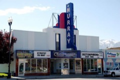
Murray Theaterbuilding200101000476
William A. Nelden Housebuilding197878002678
August M. and Mabel Jensen Nelson Housebuilding199797000643
Harlan and Marie Nelson Housebuilding2021100006014
Nels A. Nelson Housebuilding199292001062
Nelson-Beesley Housebuilding198080003931
Carl M. Neuhausen Housebuilding198080003932
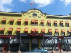
New York Hotelbuilding198080003933
Nielsen-Sanderson Housebuilding2018100003043
Oakwoodbuilding197979002503
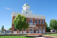
Old City Hallbuilding197171000846
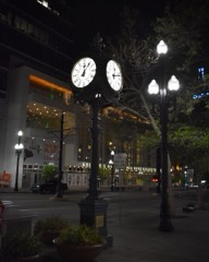
Old Clock at Zion's First National Bankobject198282001752
Old Pioneer Fort Sitesite197474001938
John and Elizabeth Brown Oldham Housebuilding199797000636
Oquirrh Schoolbuilding200808001156
Oregon Shortline Railroad Company Buildingbuilding197676001829
Frank M. Orem Housebuilding198383003175
Orpheum Theatrebuilding197676002257
Orton-Malstrom Housebuilding199797000640
John Thomas and Myrtle Bodell Ostler Housebuilding199999001552
Ottinger Hallbuilding197171000851
Pacific Northwest Pipeline Buildingbuilding201110001159
Palace Apartmentsbuilding2021100006717
Parade of Homes Lakewood Site Historic Districtdistrict2022100007561
Park Hotelbuilding199292001690
Mary Ellen Parmley Housebuilding200000001301
Lowell and Emily Parrish Housebuilding2018100003044
Clifford R. Pearsall Housebuilding198383003957
Peery Hotelbuilding197878002679
Peter Pan Apartmentsbuilding200808000880
Charles Peterson Housebuilding199292001061
Piccardy Apartmentsbuilding200808000879
Peter and Ingrid C. Larson Pierson Housebuilding199999001548
John Platts Housebuilding197272001259
John and Margaret Price Housebuilding201514001140
Lorenzo and Emma Price House and Barnbuilding199898001016
Edward Pugh Housebuilding197878002680
Lewis A. Ramsey Housebuilding199999000621
Richardson-Bower Buildingbuilding200303000636
Riverton Elementary Schoolbuilding199696000872
Riverton Historic Districtdistrict200403001484
Edward and Harriet Rosenbaum Housebuilding2020100005175
Ross Hamebuilding2018100002703
Matthew and Johanna Rowan Housebuilding2019100004478
Rowland Hall-St. Mark's Schoolbuilding197979002504
Jonathan C. and Eliza K. Royle Housebuilding198383003176
Eliza Gray Rumel Housebuilding198383003177
Salt Lake City 15th Ward LDS Meetinghousebuilding2023100008752
Salt Lake City East Side Historic District (Boundary Increase)district200302001739
Salt Lake City Public Librarybuilding197979002505
Salt Lake City and County Buildingbuilding197070000629
Salt Lake Country Club and Golf Coursedistrict201515000400
Salt Lake County Librarybuilding198282004129
Salt Lake Engineering Works-Bogue Supply Company Buildingbuilding200303000156
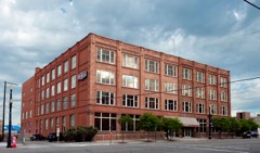
Salt Lake Hardware Company Warehousebuilding200101001082
Salt Lake Northwest Historic Districtdistrict200101000320
Salt Lake Stamp Company Buildingbuilding198282001753
Salt Lake Stock and Mining Exchange Buildingbuilding197676001830
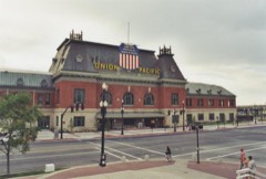
Salt Lake Union Pacific Railroad Stationbuilding197575001818
Sampson Apartmentsbuilding201009001292
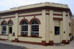
Sandy City Bankbuilding199797000637
Sandy Co-Op Blockbuilding199292001060
Sandy Historic Districtdistrict200707000084
Sandy LDS Stake Recreational Hallbuilding200000001316
Sandy Second Ward Chapelbuilding199797000638
Sandy Tithing Officebuilding198585000279
Sarah Daft Home for the Agedbuilding200202001041
Seventh-day Adventist Meetinghouse and Schoolbuilding200706000930
Silver Brothers' Iron Works Office and Warehousebuilding199999000622
Smith Apartmentsbuilding198989001740
George Albert Smith Housebuilding199393000066
Joseph M. and Celestia Smith Housebuilding199494000291
Lauritz H. and Emma Smith Housebuilding200605001633
Lauritz Smith Housebuilding198383003179
Mary Smith Housebuilding199494000292
Ray F. and Ethel Smith Housebuilding2019100004479
Smith-Bailey Drug Company Buildingbuilding198282004146
South Temple Historic Districtdistrict198282004147
Spencer Homestead Sitesite2022100008270
Sprague Branch of the Salt Lake City Public Librarybuilding200303000637
St. Mark's Episcopal Cathedralbuilding197070000630
Stairs Station Hydroelectric Power Plant Historic Districtdistrict198989000284
Steiner American Buildingbuilding2019100004393
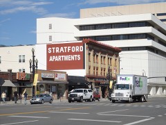
Stratford Hotelbuilding198282001754
Sugar House LDS Ward Buildingbuilding200303000631
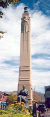
Sugar House Monumentobject200303000638
Roberta Sugden Housebuilding201616000124
Sweet Candy Company Buildingbuilding200000001584
Symphony Hallbuilding2024100011033
Tampico Restaurantbuilding198282001755
Thomas & Margaret Taylor Housebuilding2020100005545
Taylorsville LDS Ward Meetinghousebuilding2022100007527
Technical High Schoolbuilding198080003934
Temple Squaredistrict196666000738
Tenth Ward Squaredistrict197777001314
The Nettie Gregory Centerbuilding2025100011531
Third Presbyterian Church Parsonagebuilding200000000522
Niels and Mary Ann Fitzgerald Thompson Housebuilding199797000639
Tracy Loan and Trust Company Buildingbuilding197878002681
Tribune Buildingbuilding201282005108
Trinity A.M.E. Churchbuilding197676001831
Twenty-Ninth Ward LDS Meetinghousebuilding201515000132
US Post Office-Sugar Housebuilding199493000409
Frank M. and Susan E. Ulmer Housebuilding200202001556
University Neighborhood Historic Districtdistrict199595001430
University of Utah Circledistrict197878002682
Utah Commercial and Savings Bank Buildingbuilding197575001819
Utah Copper Company Mine Superintendent's Housebuilding198585003422
Utah Slaughter Company Warehousebuilding82004148
Utah State Fair Groundsbuilding198181000583
Utah State Liquor Agency #22building200303000639
Utah State Penitentiary Chapel by the Waysidebuilding2026100012713
Utah-Idaho Sugar Factorybuilding09000018
Louis E. and Florence Jensen Van Dam Housebuilding199999001555
Veterans Administration Hospitalbuilding199696000630
William Tyler and Amorilla Gammet Vincent Housebuilding199797000644
Glen M. and Roxie Walbeck Housebuilding200605001630
Walker Bank Buildingbuilding200606000929
George and Lida Walker Housebuilding2024100010060
Wesley and Frances Walton Housebuilding199595000983
Warehouse Districtdistrict198282004149
Warehouse District (Boundary Increase)district201616000125
Warenski-Duvall Comerical Building and Apartmentsbuilding200000000521
Wasatch Mountain Club Lodgebuilding198080003935
Wasatch Springs Plungebuilding198080003936
Charles H. Weeks Housebuilding198383003959
Wells Historic Districtdistrict201010000210
West Jordan Ward Meetinghousebuilding199595000415
Western General Agency Buildingbuilding201515000678
Western Macaroni Manufacturing Company Factorybuilding201515000133
Westminster College President's Housebuilding200101000961
Westmoreland Place Historic Districtdistrict201111000234
Westwood Village Historic Districtdistrict2024100009202
Henry J. Wheeler Farmbuilding197676001832
Nelson Wheeler Whipple Housebuilding197979002506
John M. Whitaker Housebuilding197878002684
William W. and Christene Wilson Housebuilding200404001421
Woodruff Villabuilding198282004150
Asahel Hart Woodruff Housebuilding198282004151
Wilford Woodruff Farm Housebuilding198282004152
Woodruff-Riter Housebuilding197979002507
Yalecrest Historic Districtdistrict200707001168
Thomas Yardley Housebuilding198383003961
Brigham Young Complexbuilding196666000739
Z.C.M.I. Cast Iron Frontbuilding197070000632
ZCMI General Warehousebuilding200505001487

Bird's-eye views and land ownership maps

4

Drawn when these were printed as single large sheets: the town seen from the air, and the county divided into its farms with every owner named. Each opens the original at the Library of Congress.

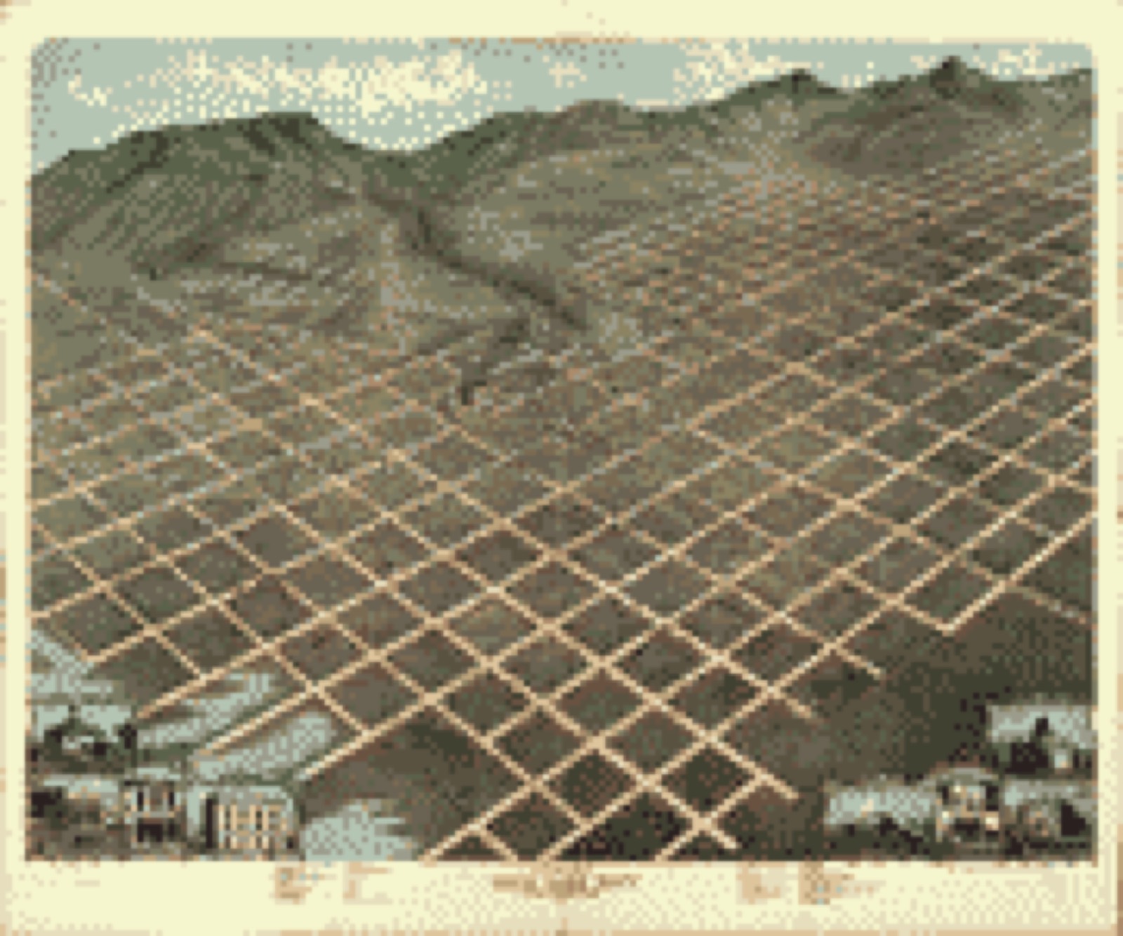
Bird's-eye view, 1870 - Bird's eye view of Salt Lake City, Utah Territory 1870
Bird's-eye view (1870) - Bird's eye view of Salt Lake City, Utah Territory 1870. Library of Congress.
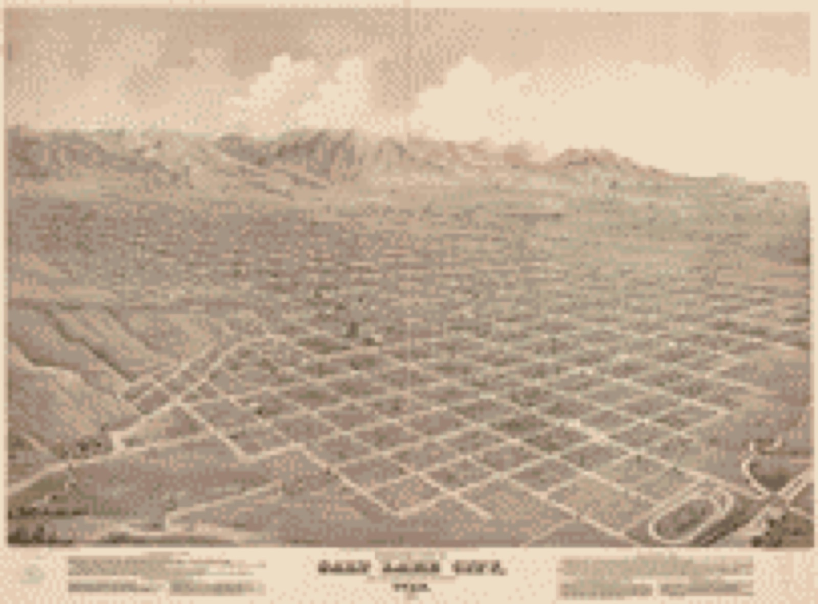
Bird's-eye view, 1875 - Birds-eye view of Salt Lake City, Utah 1875
Bird's-eye view (1875) - Birds-eye view of Salt Lake City, Utah 1875. Library of Congress.
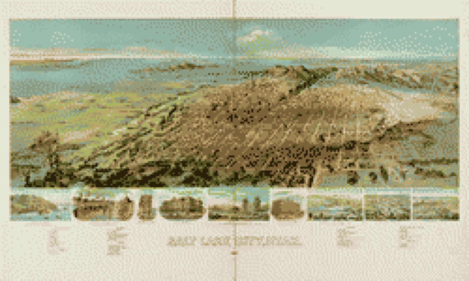
Bird's-eye view, 1891 - Salt Lake City, Utah 1891
Bird's-eye view (1891) - Salt Lake City, Utah 1891. Library of Congress.
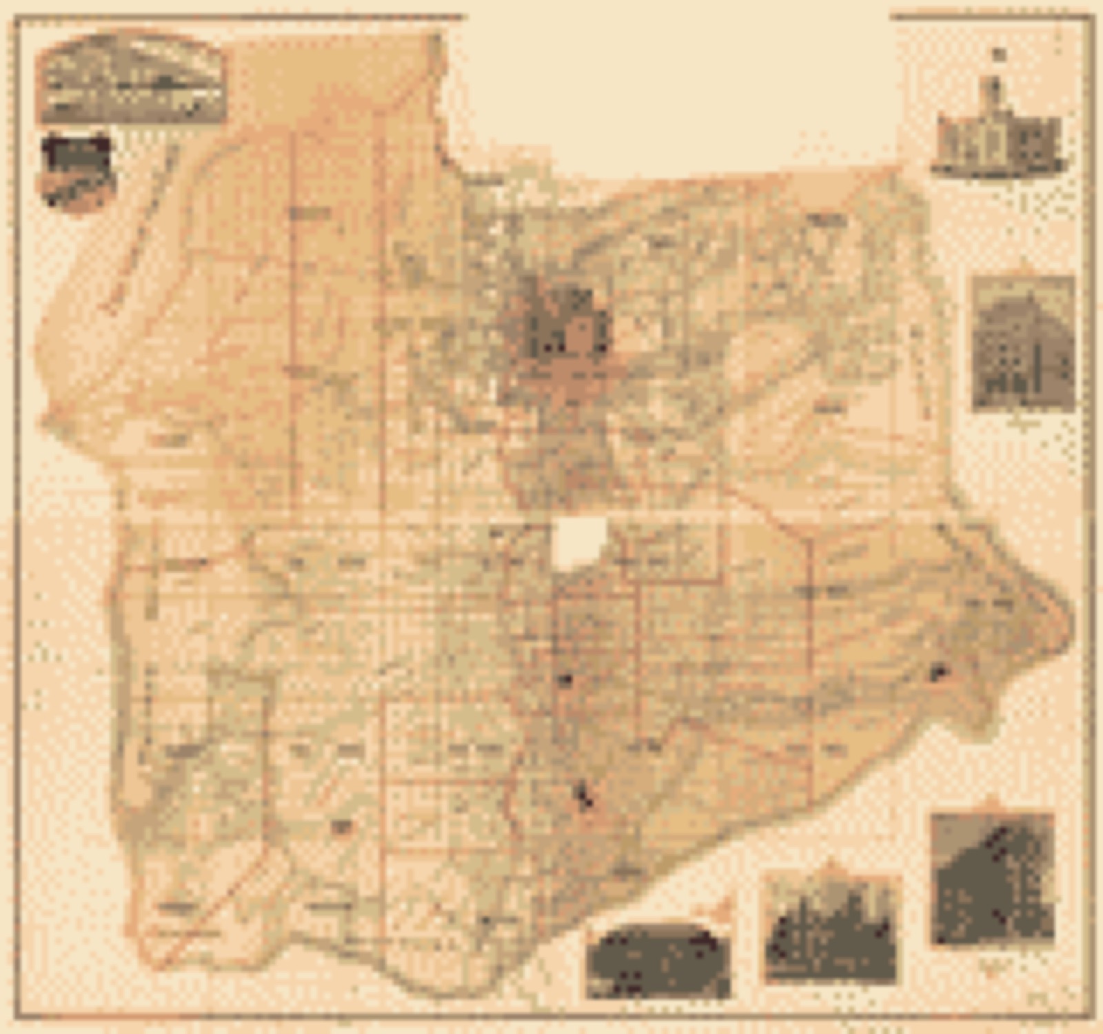
Land ownership map, 1890 - [Map of Salt Lake County, Utah]
Land ownership map (1890) - [Map of Salt Lake County, Utah]. Library of Congress.

Photographs from libraries nationwide

21 of 127 shown

Selected from the Digital Public Library of America's 127 image records catalogued for this county. Every one shown here carries a public-domain status or a licence that permits reuse on a site that carries advertising; non-commercial, share-alike and restricted images are excluded. The selection is spread across the county's towns (at most eight per town), so no single institution's bulk upload crowds out the rest. Each opens the holding library's record, and the complete set at the Digital Public Library of America is one click away.

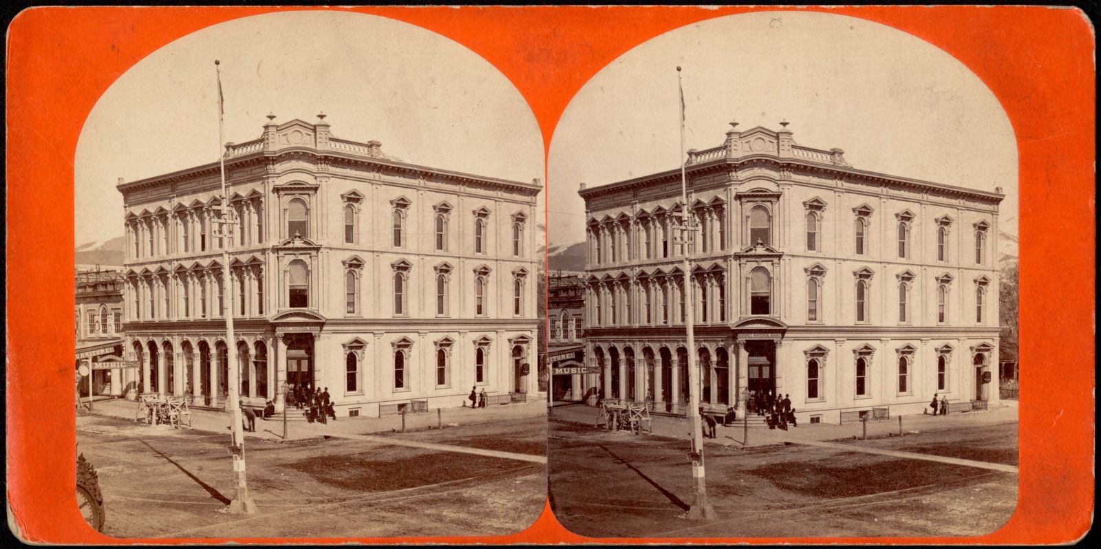
Deseret National Bank Building, Boston Public Library - undated
Deseret National Bank Building. Savage, C. R. (Charles Roscoe), 1832-1909, Boston Public Library, via the Digital Public Library of America.
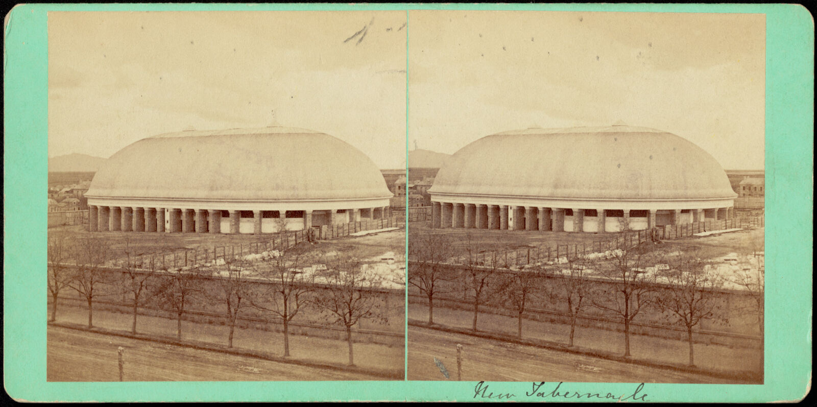
New Tabernacle, Boston Public Library - undated
New Tabernacle. Savage, C. R. (Charles Roscoe), 1832-1909, Boston Public Library, via the Digital Public Library of America.
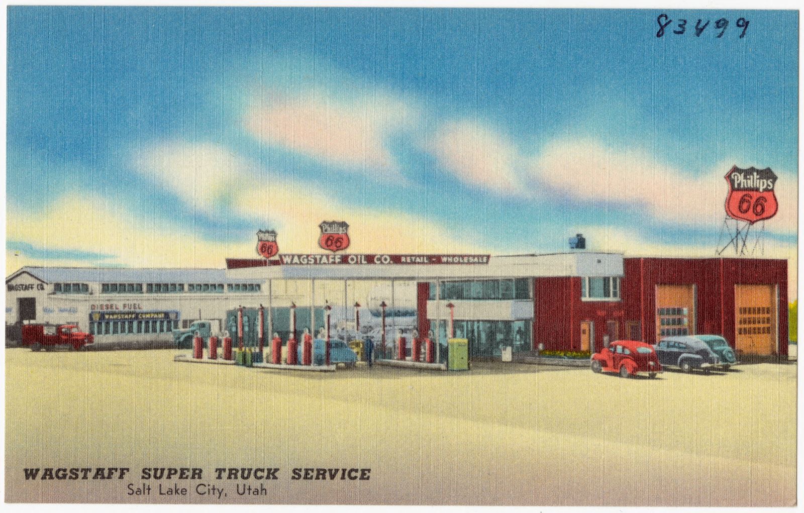
Wagstaff Super Truck Service, Sal Lake City, Utah, Boston Public Library - undated
Wagstaff Super Truck Service, Sal Lake City, Utah. Boston Public Library, via the Digital Public Library of America.
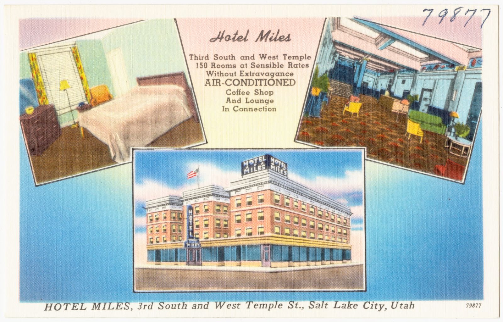
Hotel Miles, 3rd South and West Temple St., Salt Lake City, Utah, Boston Public Library - undated
Hotel Miles, 3rd South and West Temple St., Salt Lake City, Utah. Boston Public Library, via the Digital Public Library of America.
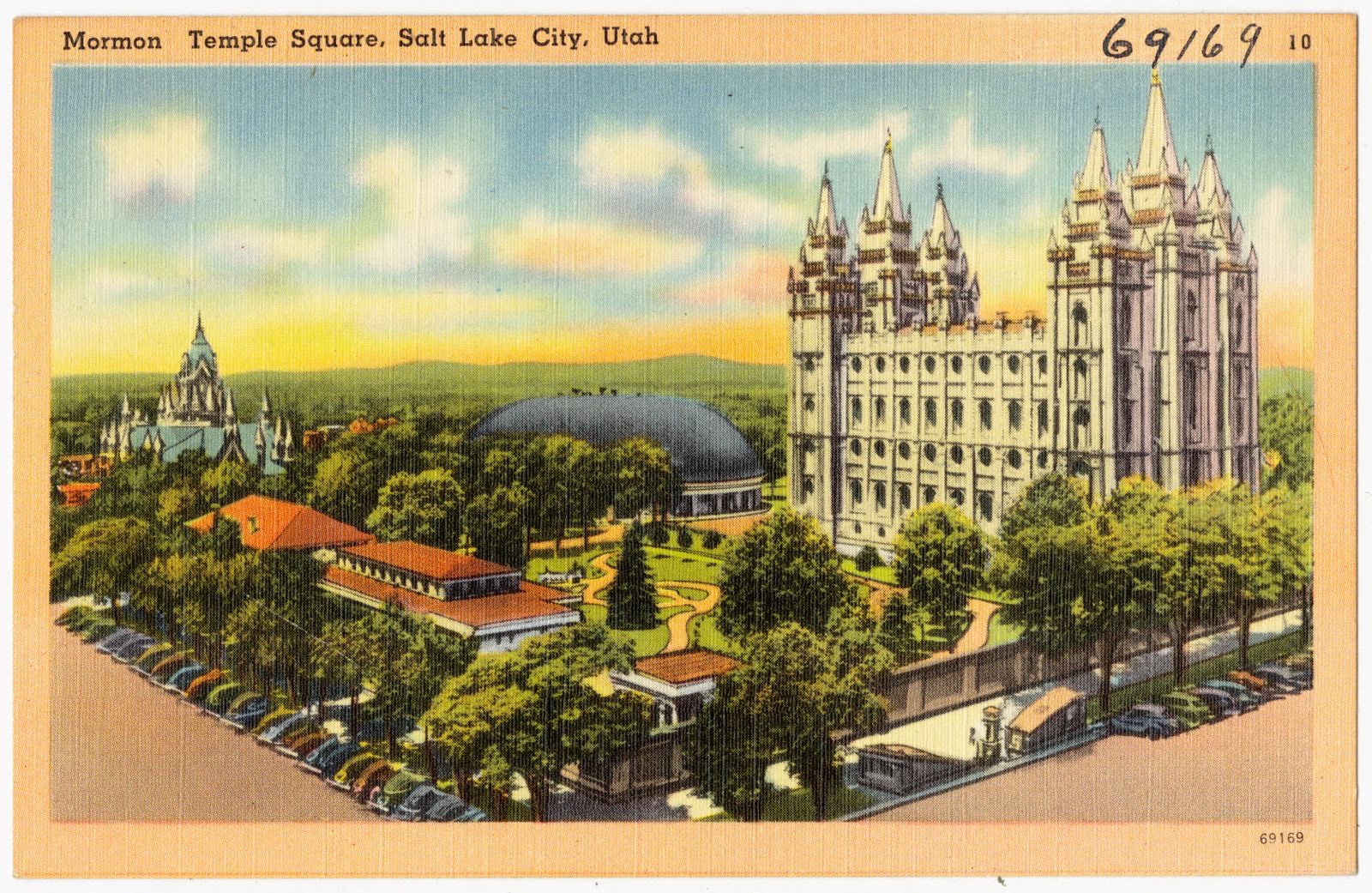
Mormon Temple Square, Salt Lake City, Utah, Boston Public Library - undated
Mormon Temple Square, Salt Lake City, Utah. Boston Public Library, via the Digital Public Library of America.
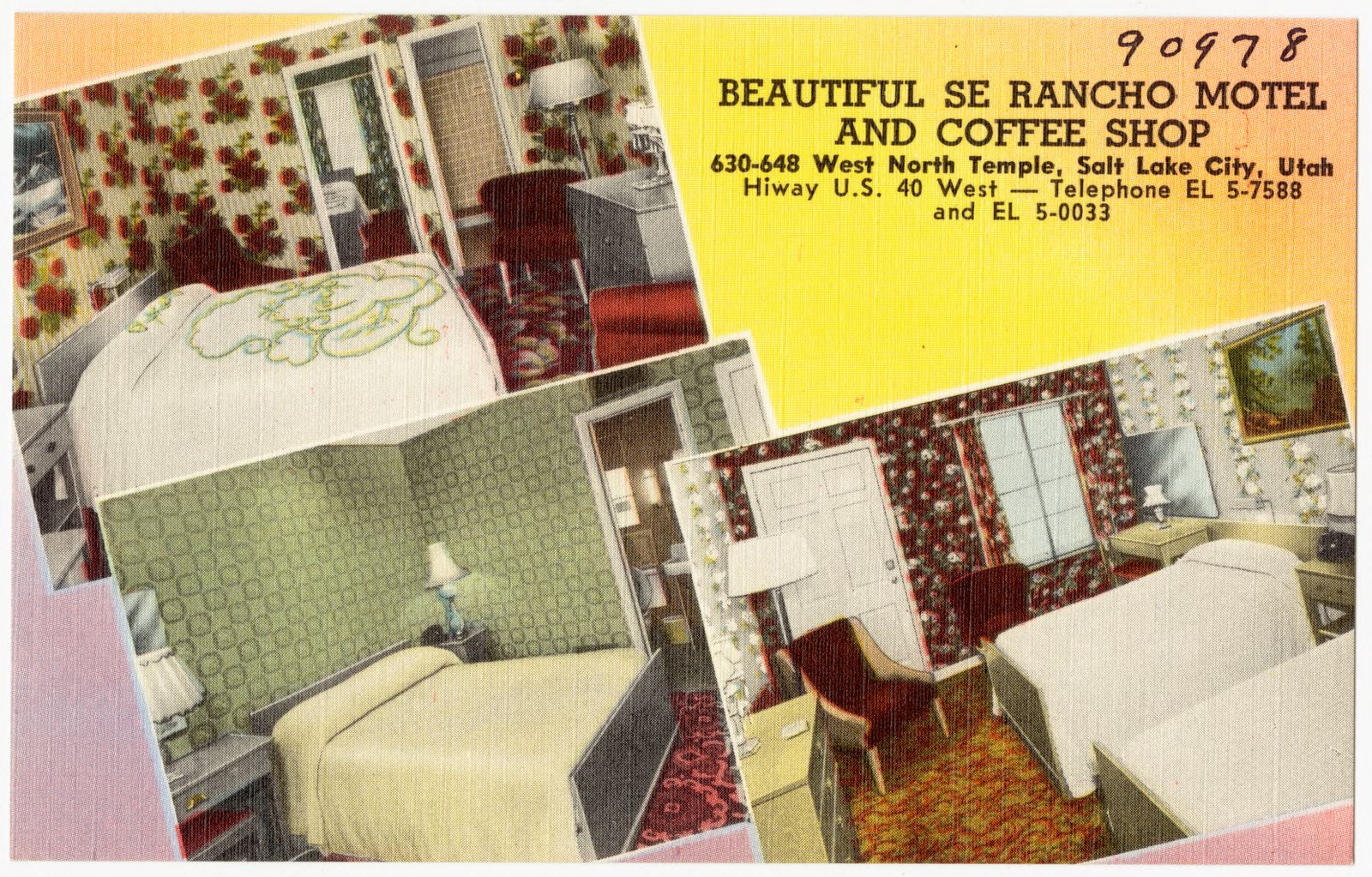
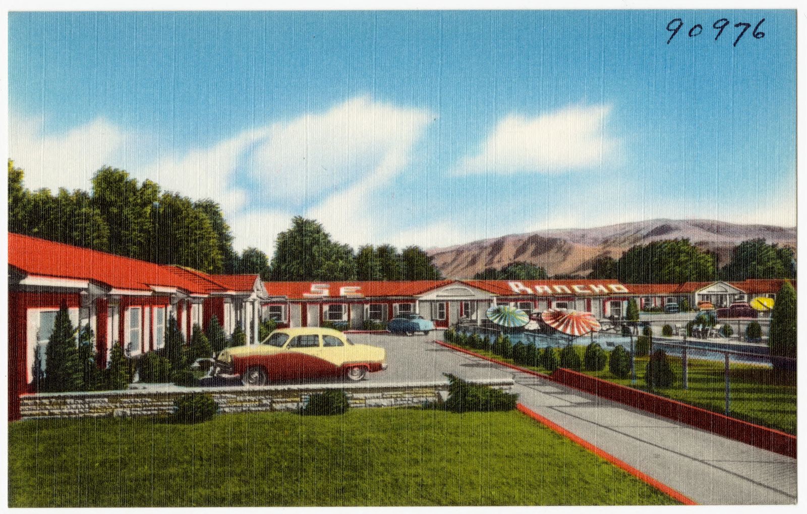
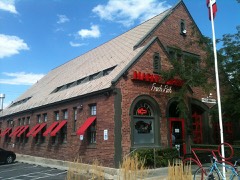
Beautiful Se Rancho Motel and Coffee Shop, 630 - 648 West North Temple, Salt Lake City, Utah, Hiway U.S. 40 West, Boston Public Library - undated
Beautiful Se Rancho Motel and Coffee Shop, 630 - 648 West North Temple, Salt Lake City, Utah, Hiway U.S. 40 West. Boston Public Library, via the Digital Public Library of America.
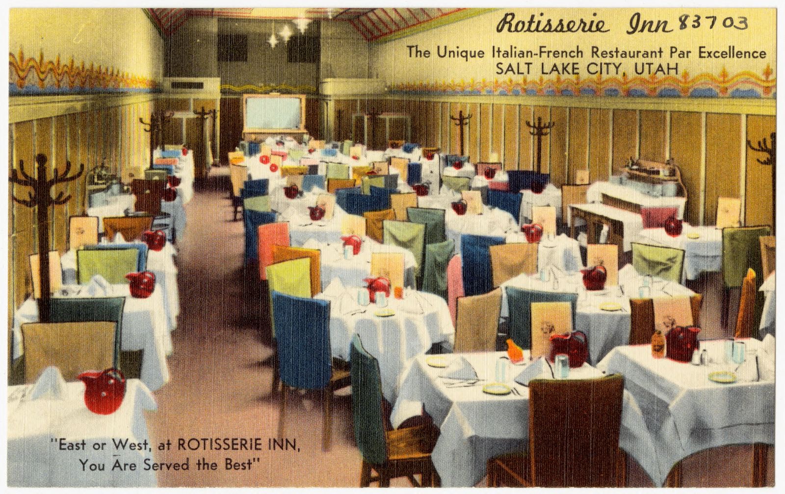
Rotisserie Inn, the unique Italian - French Restaurant par excellence, Salt Lake City, Utah, Boston Public Library - undated
Rotisserie Inn, the unique Italian - French Restaurant par excellence, Salt Lake City, Utah. Boston Public Library, via the Digital Public Library of America.
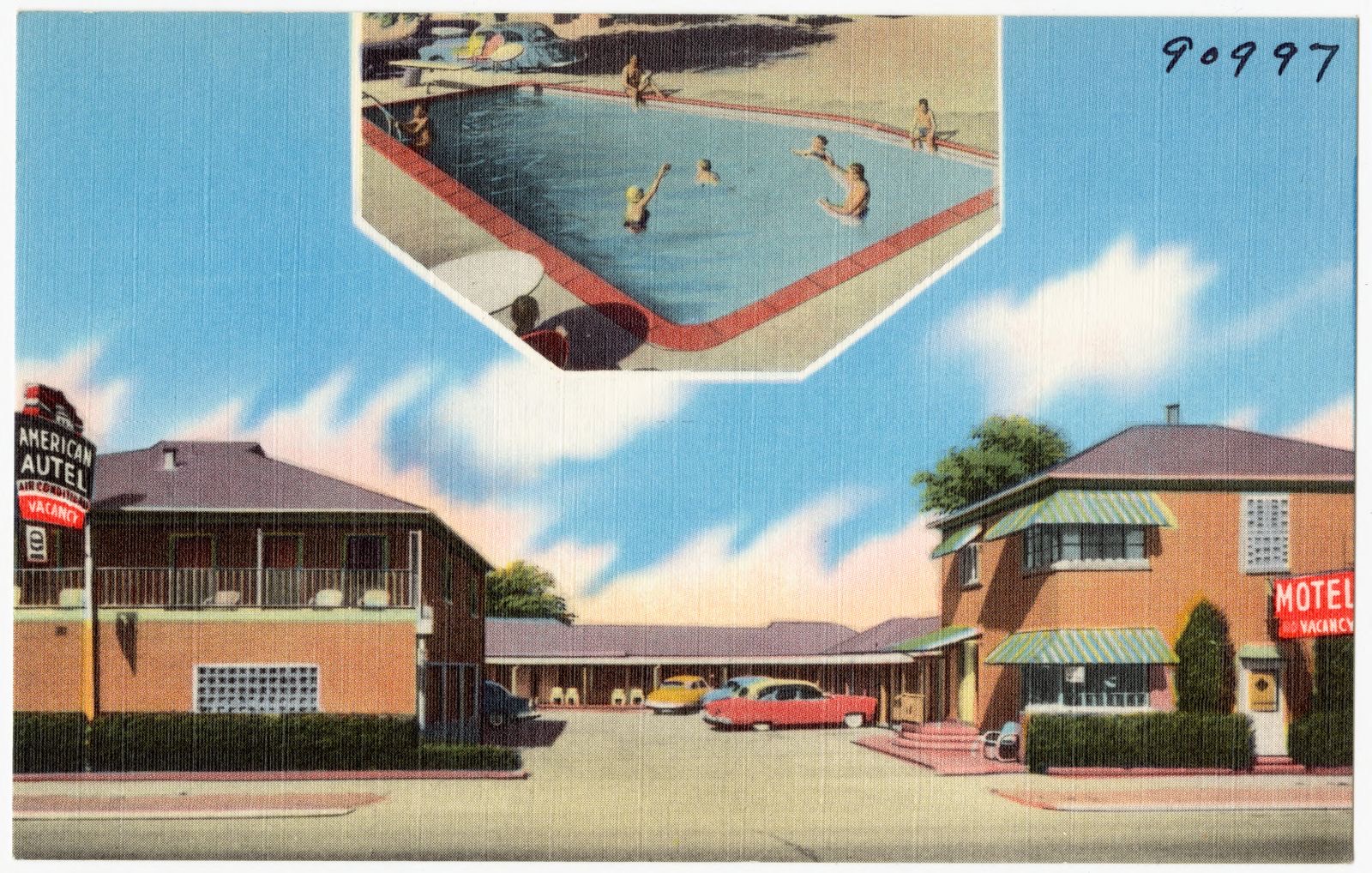
All-American Autel, 1918 South State St., Salt Lake City, Utah, Boston Public Library - undated
All-American Autel, 1918 South State St., Salt Lake City, Utah. Boston Public Library, via the Digital Public Library of America.
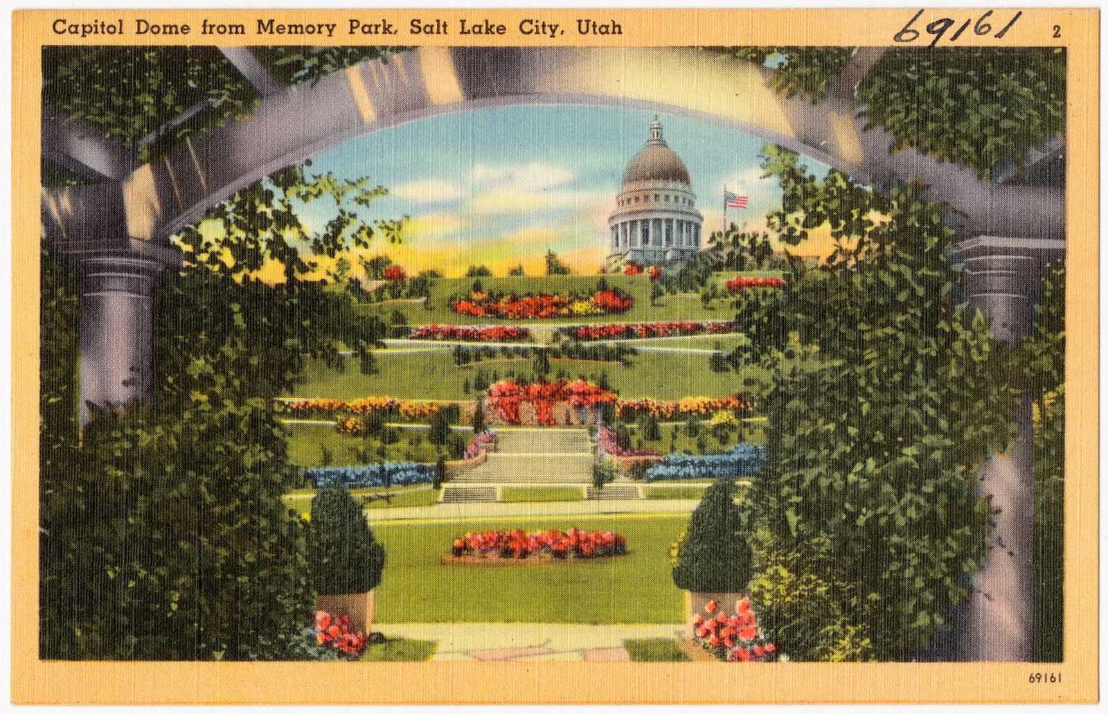
Capitol dome from Memory Park, Salt Lake City, Utah, Boston Public Library - undated
Capitol dome from Memory Park, Salt Lake City, Utah. Boston Public Library, via the Digital Public Library of America.
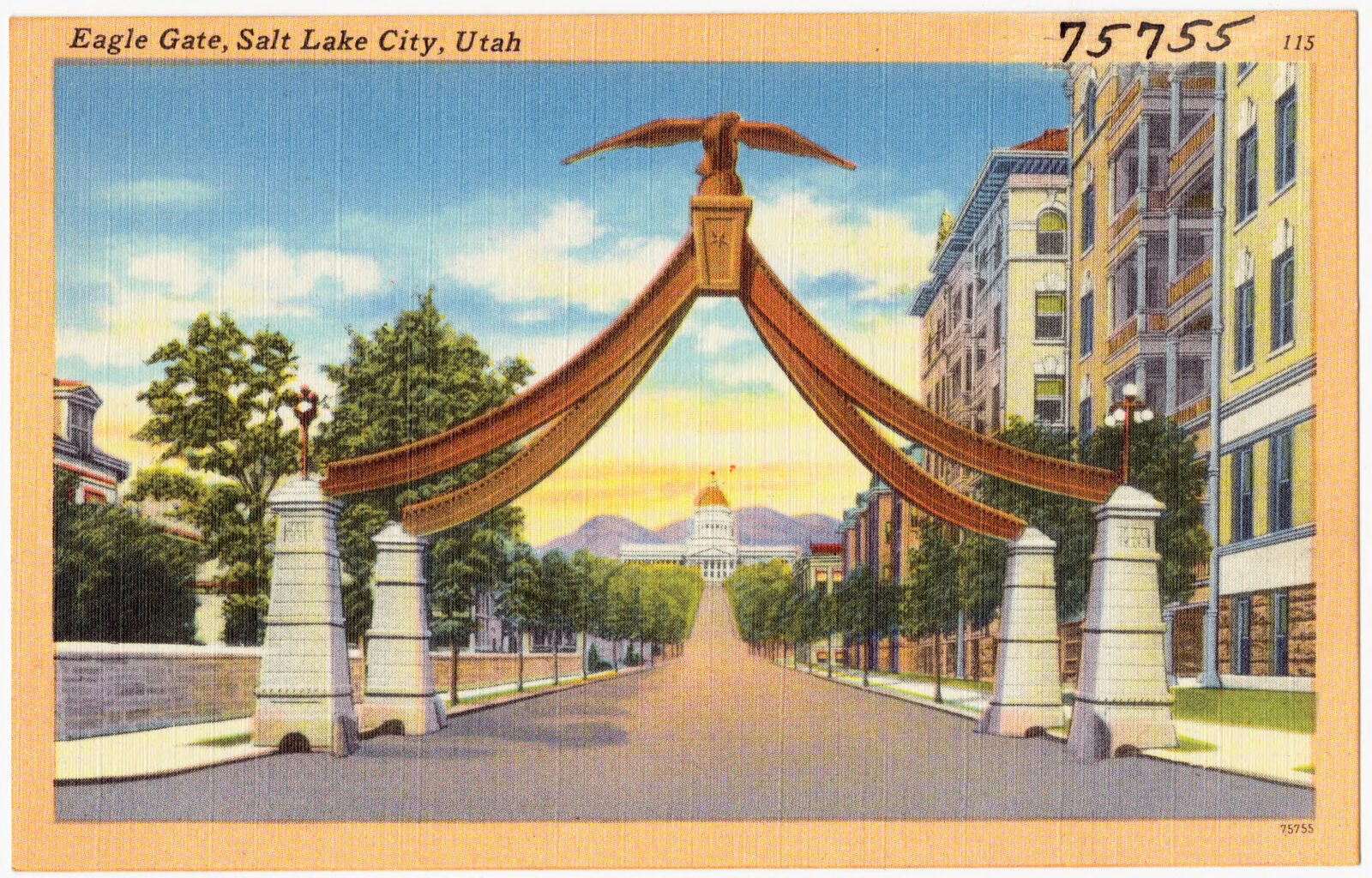
Eagle Gate, Salt Lake City, Utah, Boston Public Library - undated
Eagle Gate, Salt Lake City, Utah. Boston Public Library, via the Digital Public Library of America.
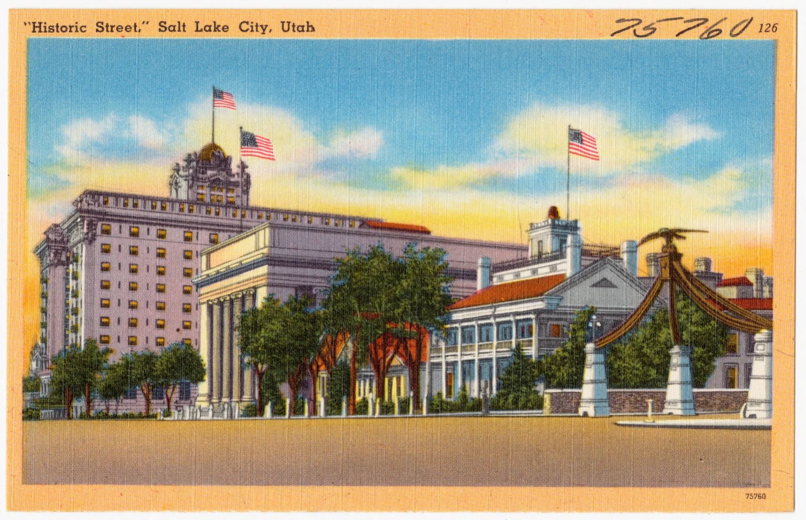
"Historic Street," Salt Lake City, Utah, Boston Public Library - undated
"Historic Street," Salt Lake City, Utah. Boston Public Library, via the Digital Public Library of America.
Brigham Young's home, Boston Public Library - undated
Brigham Young's home. Boston Public Library, via the Digital Public Library of America.
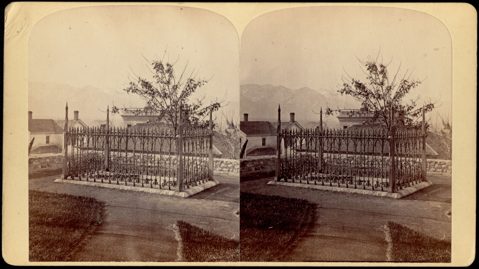
Grave of President B. Young, Boston Public Library - undated
Grave of President B. Young. Savage, C. R. (Charles Roscoe), 1832-1909, Boston Public Library, via the Digital Public Library of America.
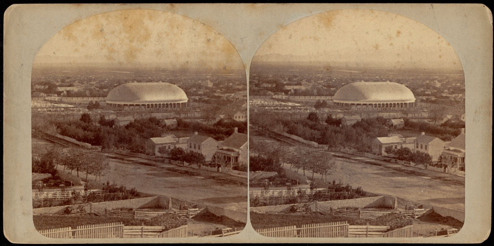
West side of Salt Lake City, from Arsenal Hill, looking south-west, Oquirrh, or West Mountains in the distance, Boston Public Library - undated
West side of Salt Lake City, from Arsenal Hill, looking south-west, Oquirrh, or West Mountains in the distance. Savage, C. R. (Charles Roscoe), 1832-1909, Boston Public Library, via the Digital Public Library of America.
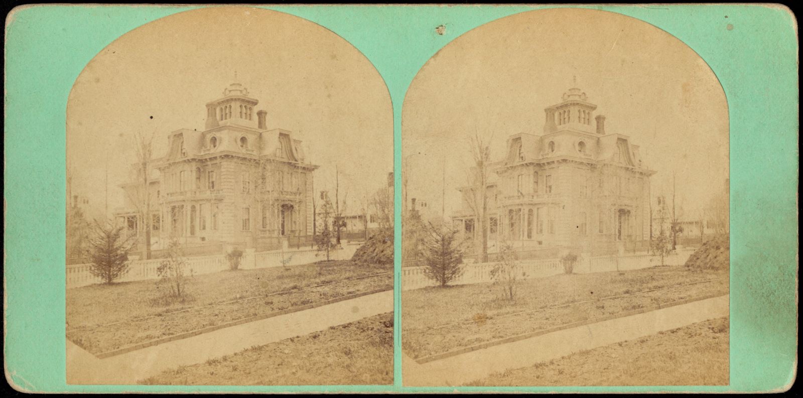
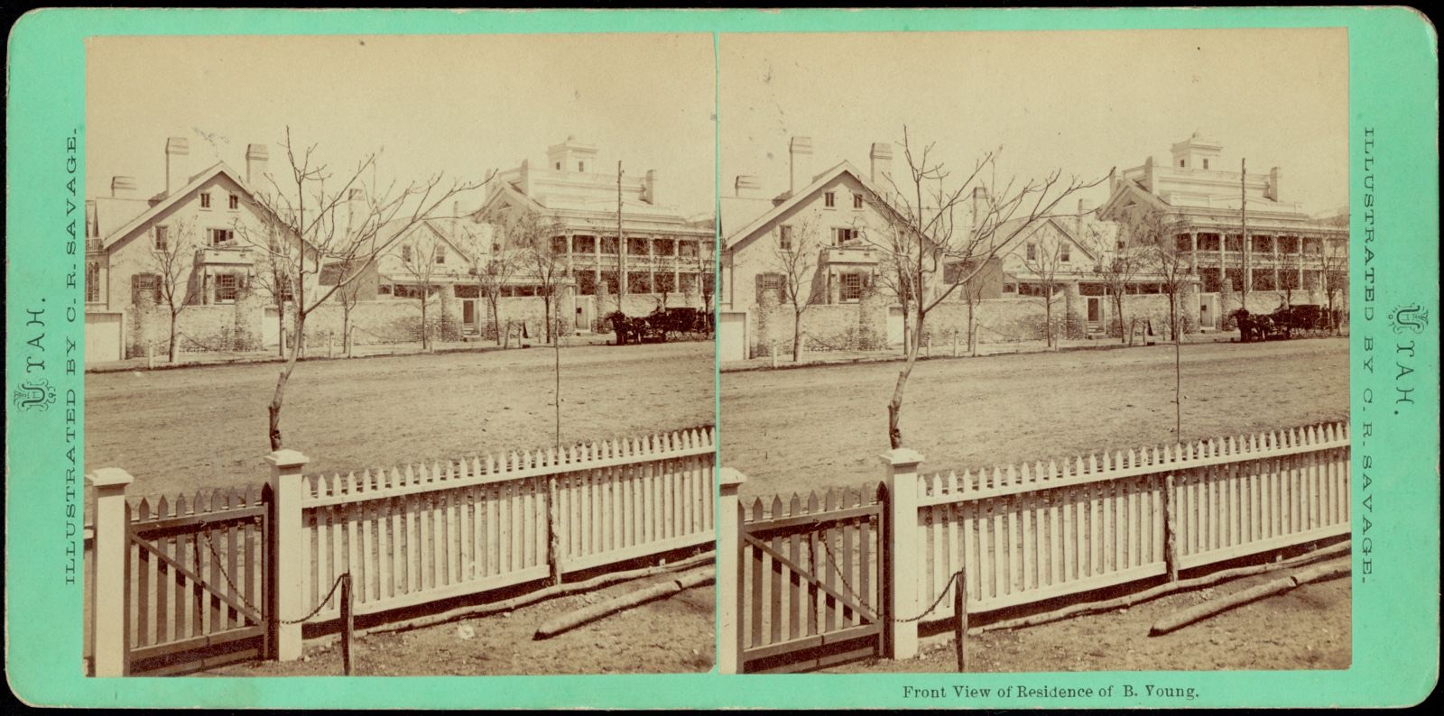
Front view of residence of B. Young, Boston Public Library - undated
Front view of residence of B. Young. Savage, C. R. (Charles Roscoe), 1832-1909, Boston Public Library, via the Digital Public Library of America.
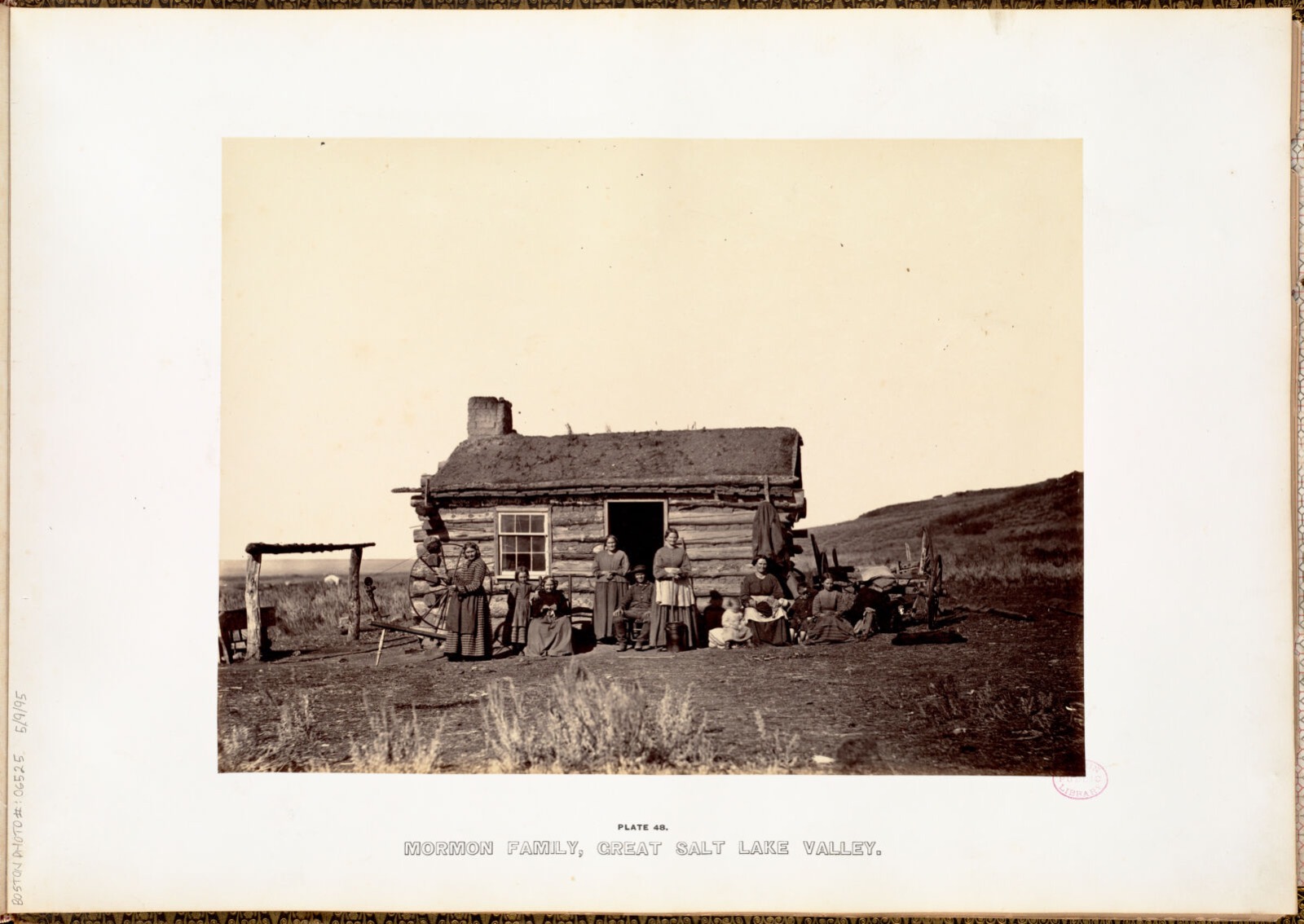
Mormon family, Great Salt Lake Valley., Boston Public Library - undated
Mormon family, Great Salt Lake Valley.. Russell, Andrew J, Boston Public Library, via the Digital Public Library of America.
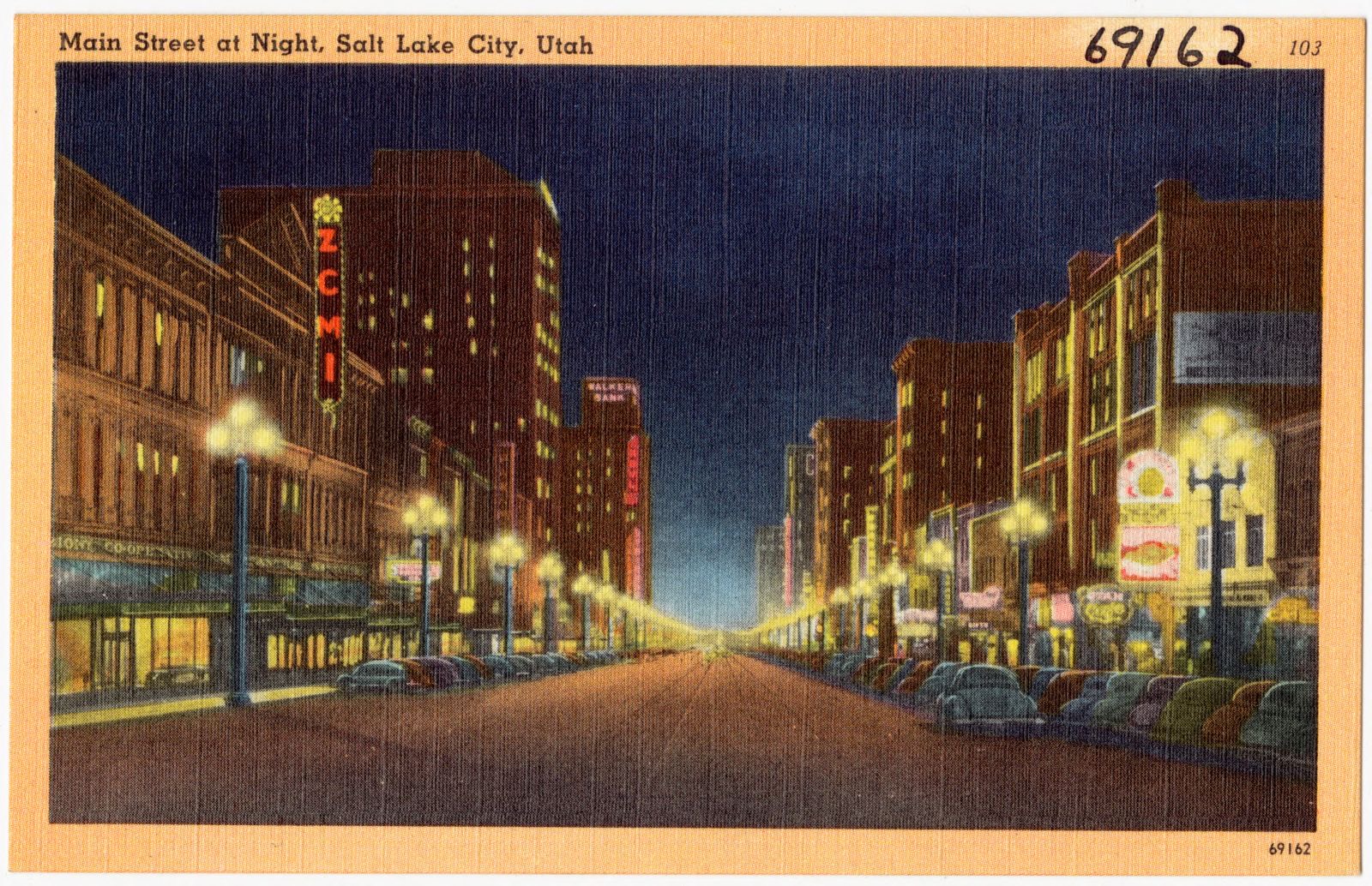
Main Street at night, Slat Lake City, Utah, Boston Public Library - undated
Main Street at night, Slat Lake City, Utah. Boston Public Library, via the Digital Public Library of America.
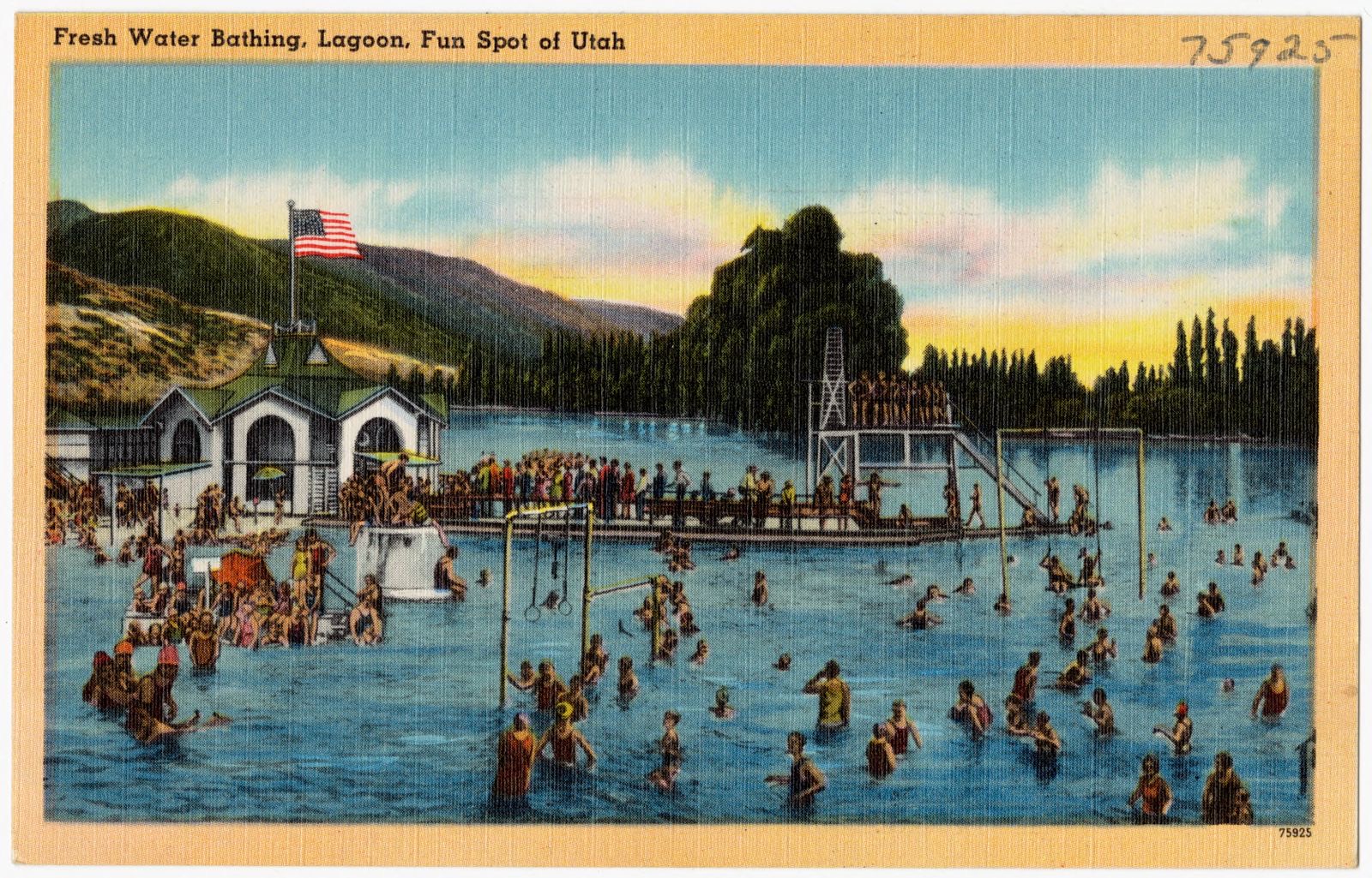
Fresh water bathing, Lagoon, fun spot of Utah, Boston Public Library - undated
Fresh water bathing, Lagoon, fun spot of Utah. Boston Public Library, via the Digital Public Library of America.
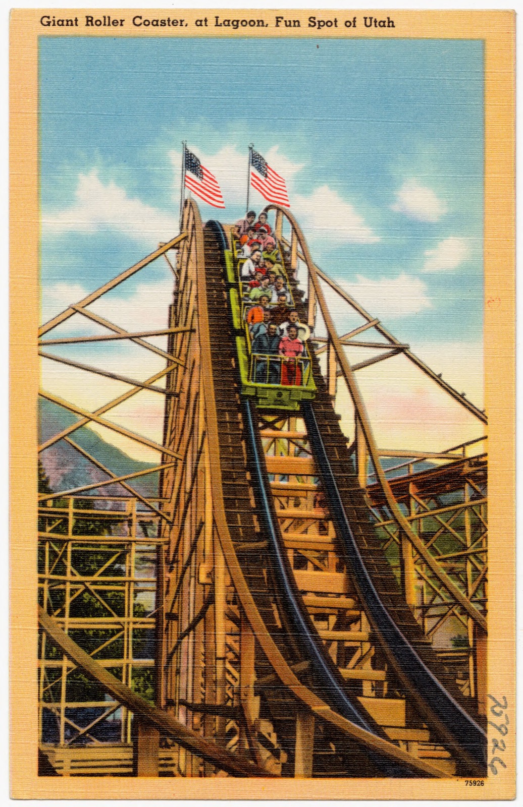
Giant roller coaster, at Lagoon, fun spot of Utah, Boston Public Library - undated
Giant roller coaster, at Lagoon, fun spot of Utah. Boston Public Library, via the Digital Public Library of America.
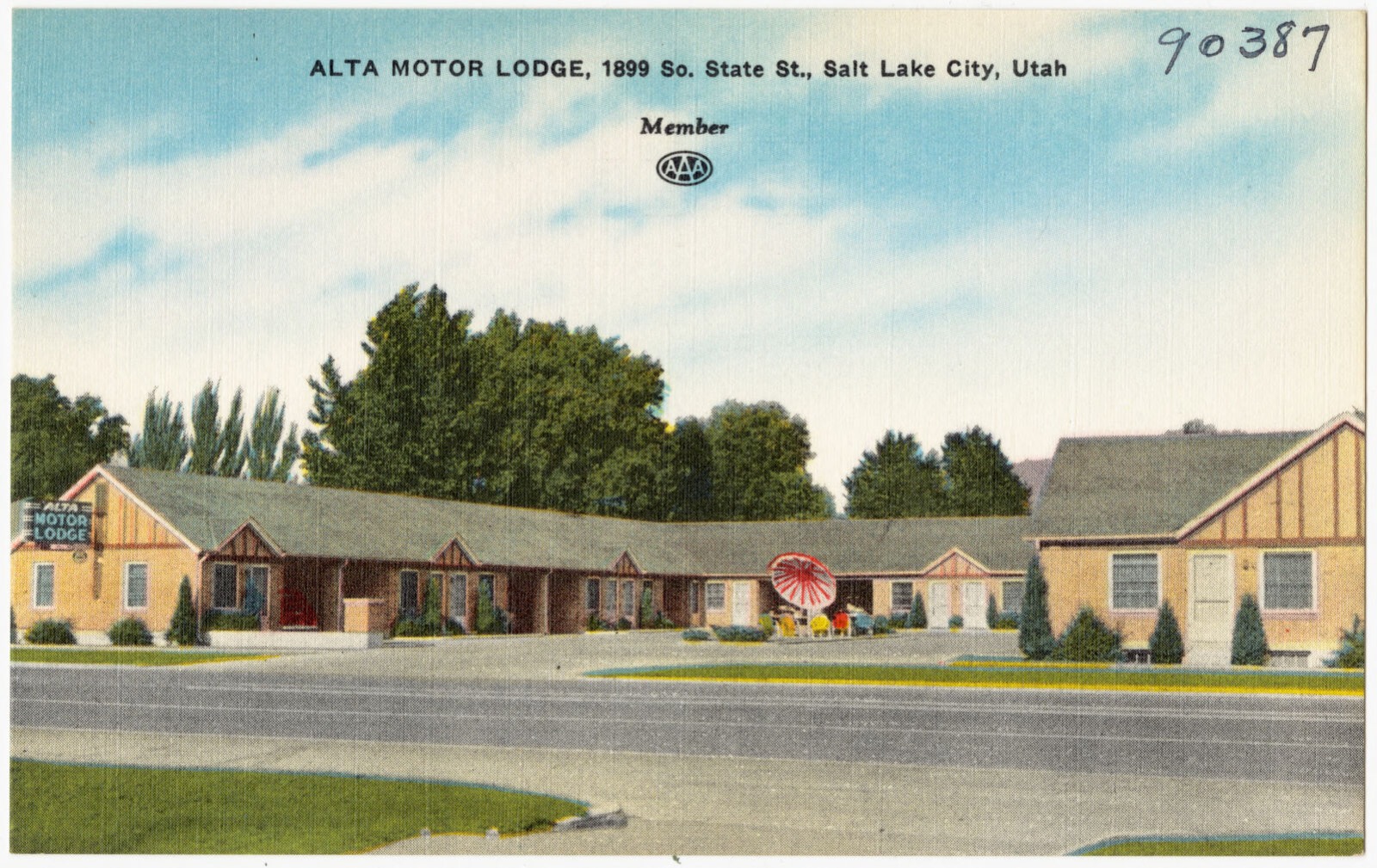
Alta Motor Lodge, 1899 So. State St., Salt Lake City, Utah, Boston Public Library - undated
Alta Motor Lodge, 1899 So. State St., Salt Lake City, Utah. Boston Public Library, via the Digital Public Library of America.
Se Rancho, Boston Public Library - undated
Se Rancho. Boston Public Library, via the Digital Public Library of America.

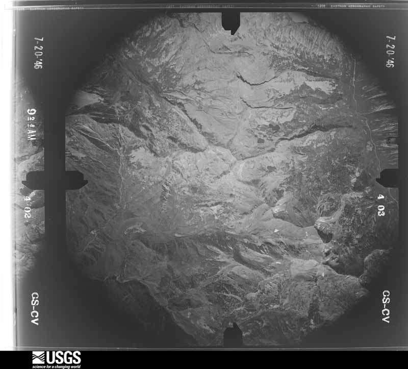
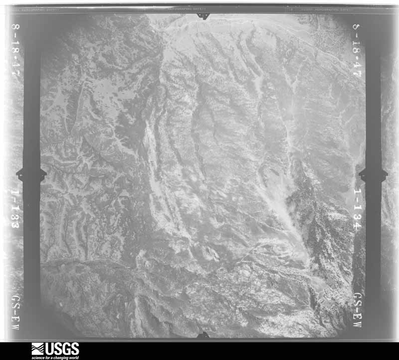
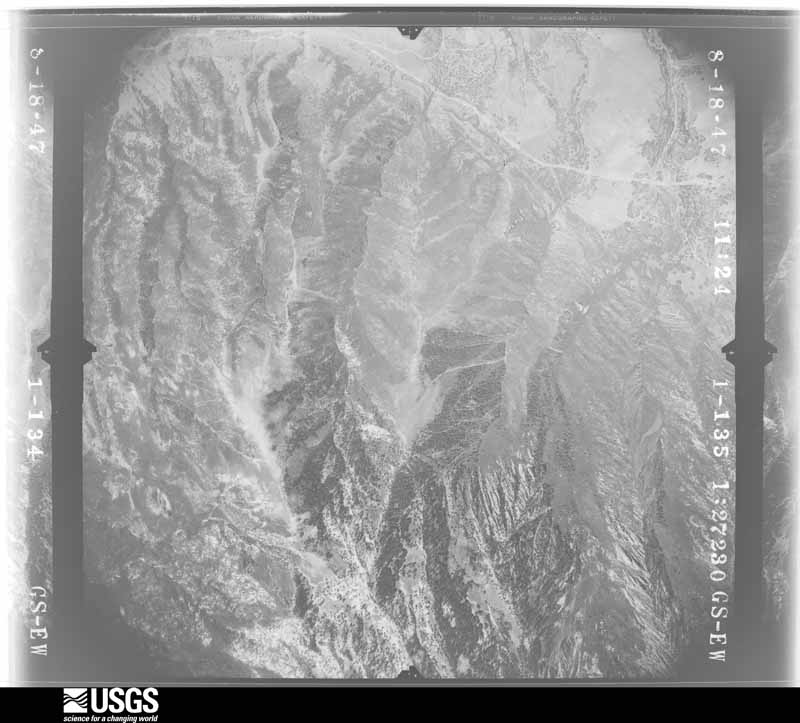
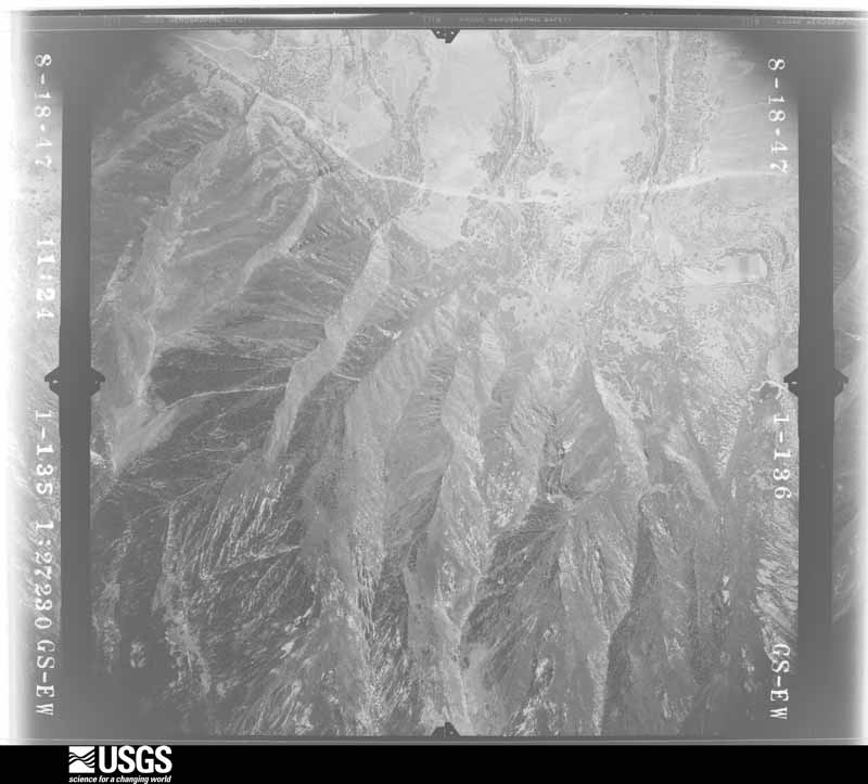
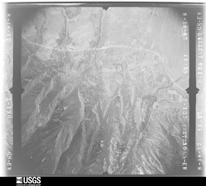
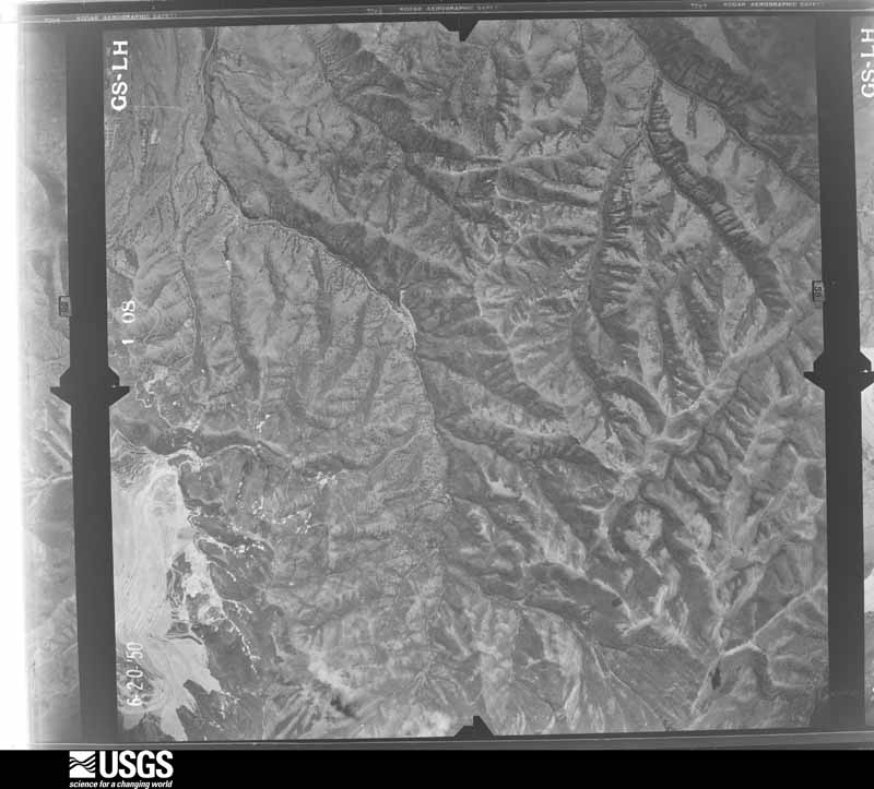
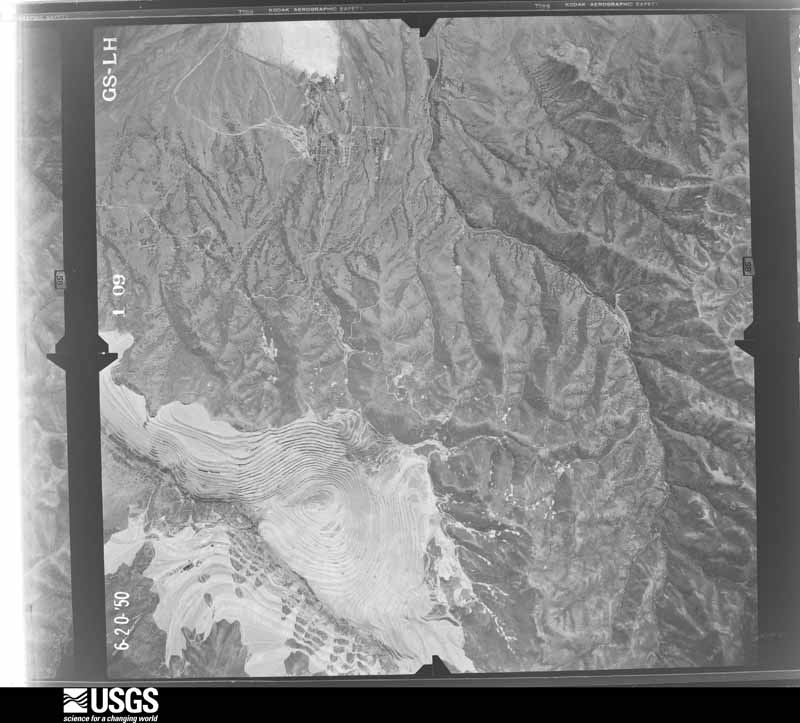
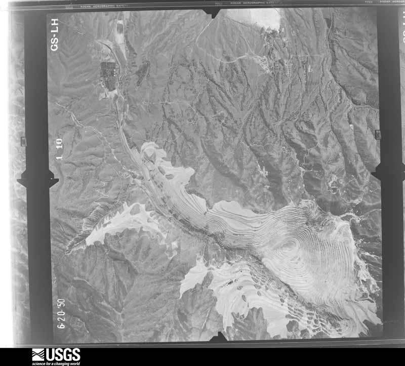
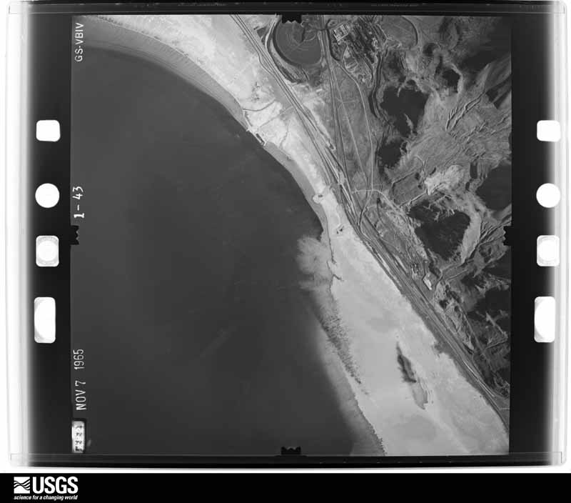
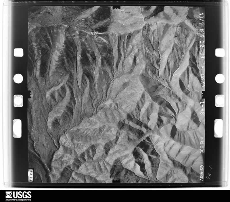
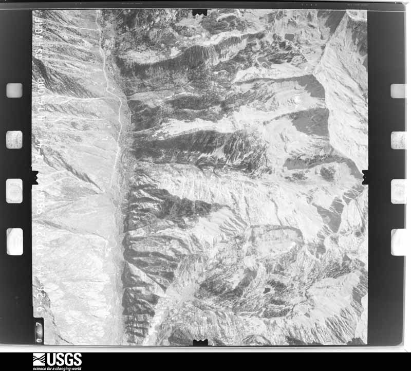
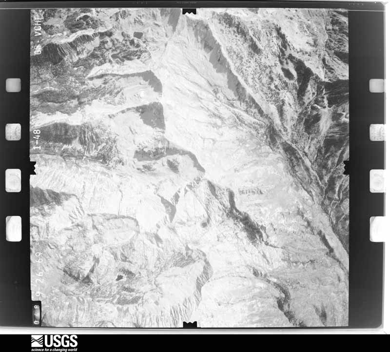
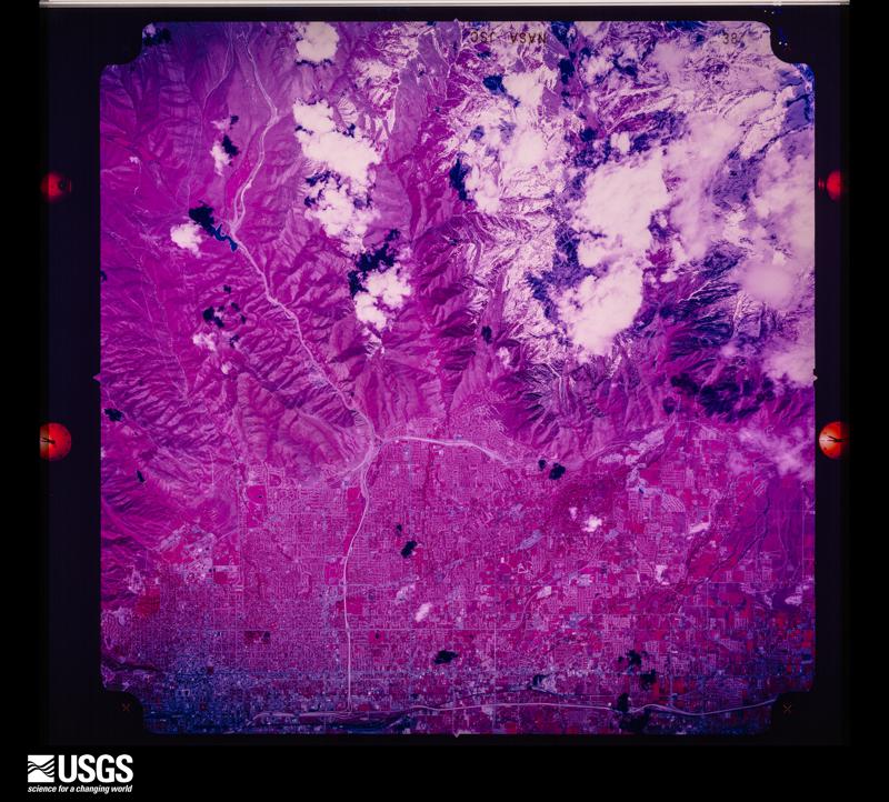
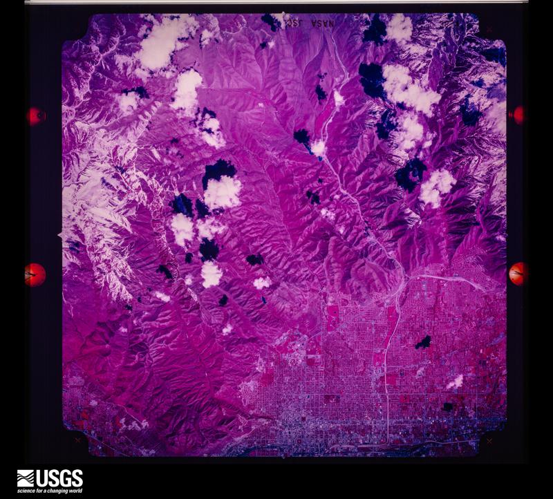
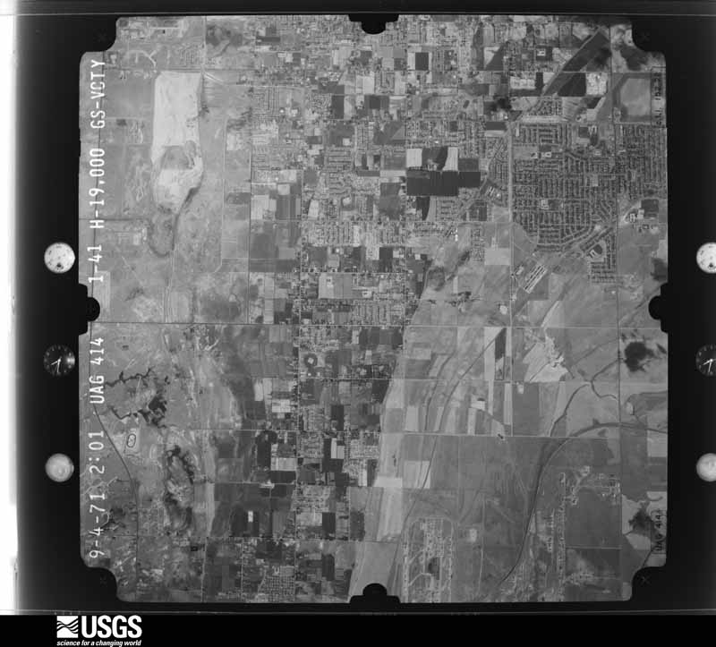
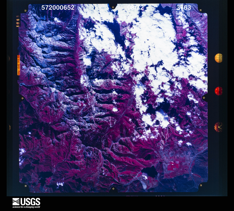
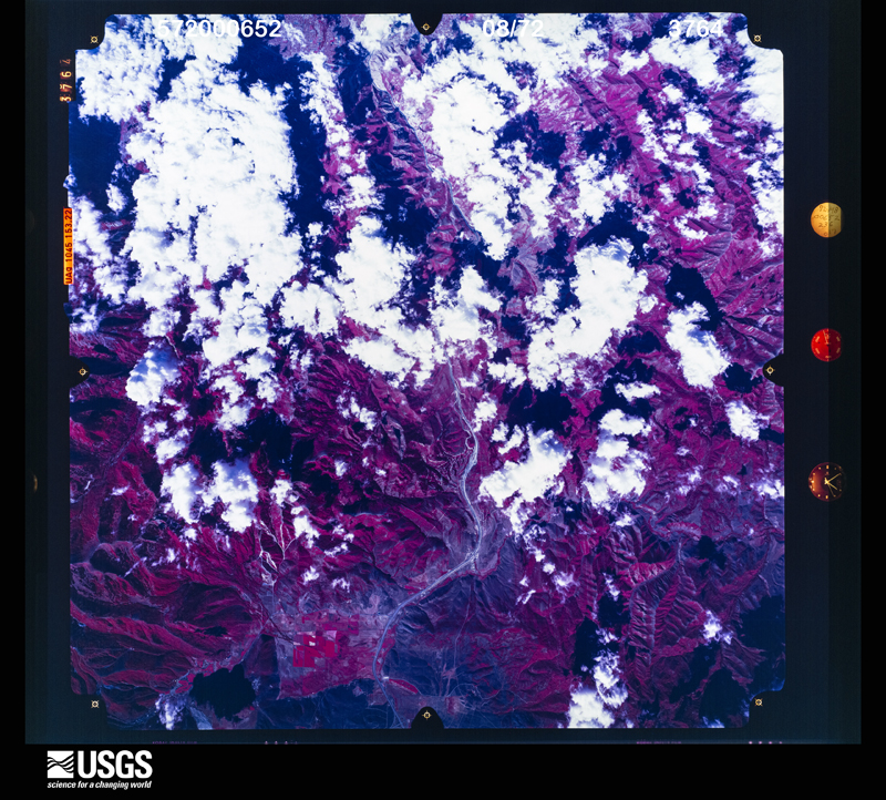
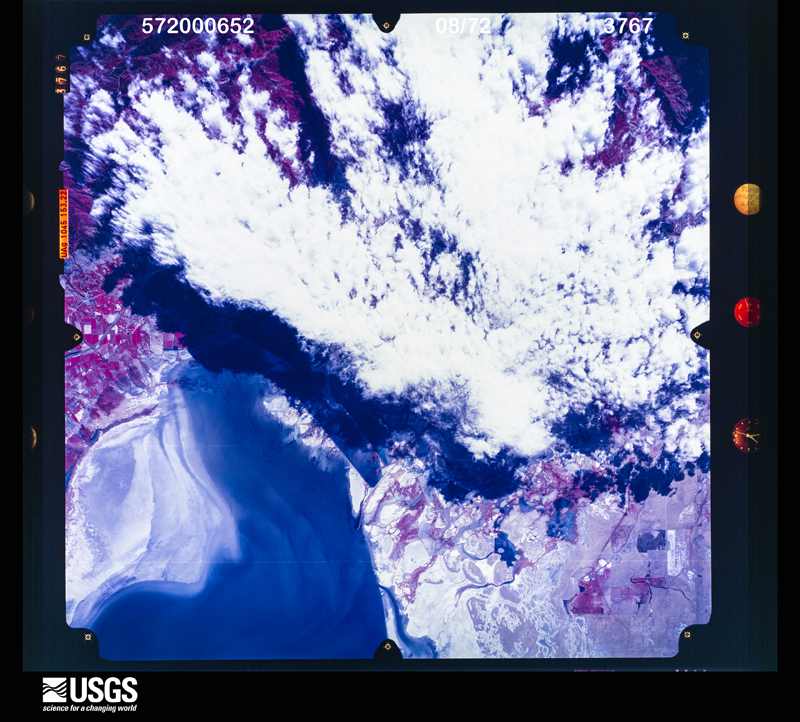
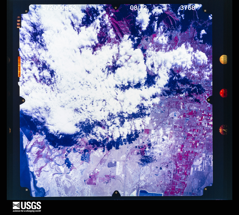
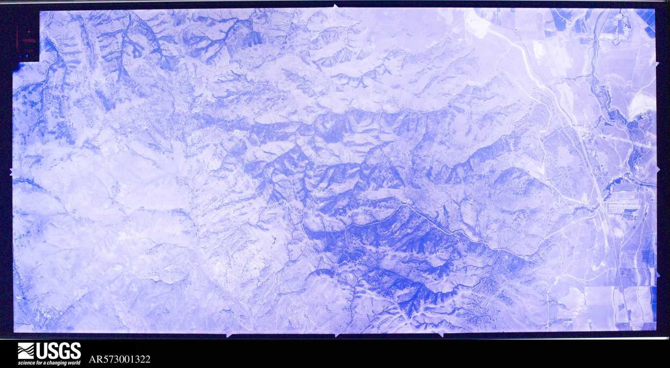
The county from the air

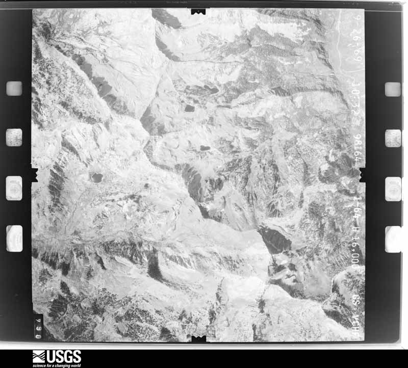
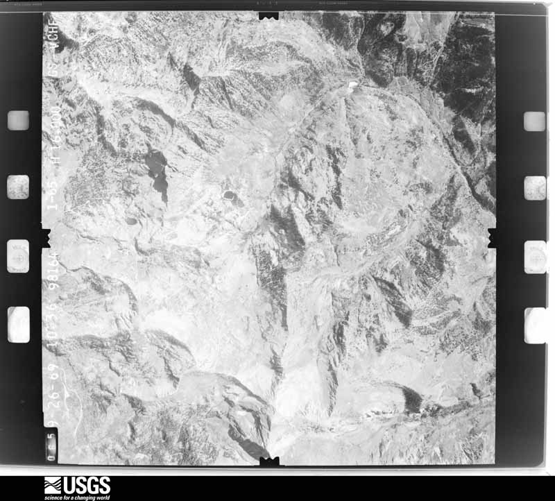
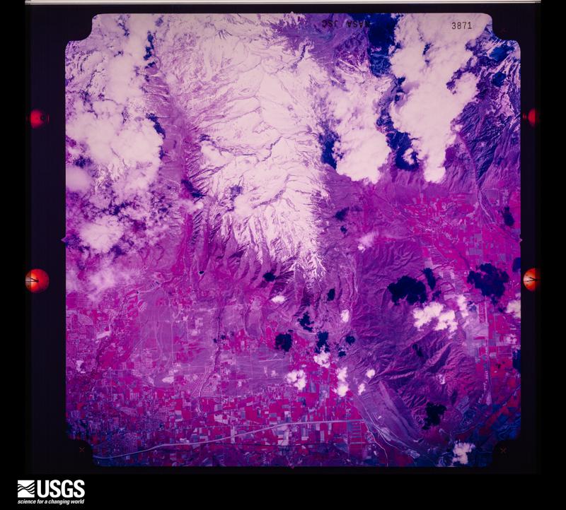
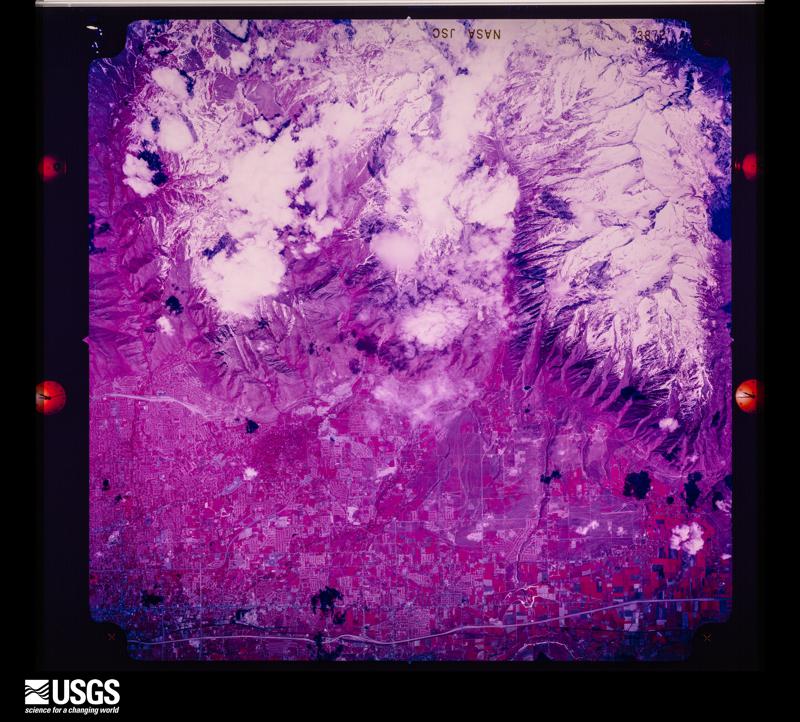
48 shown

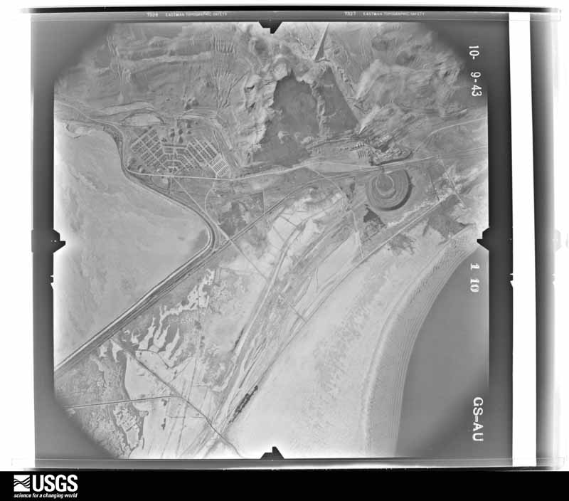
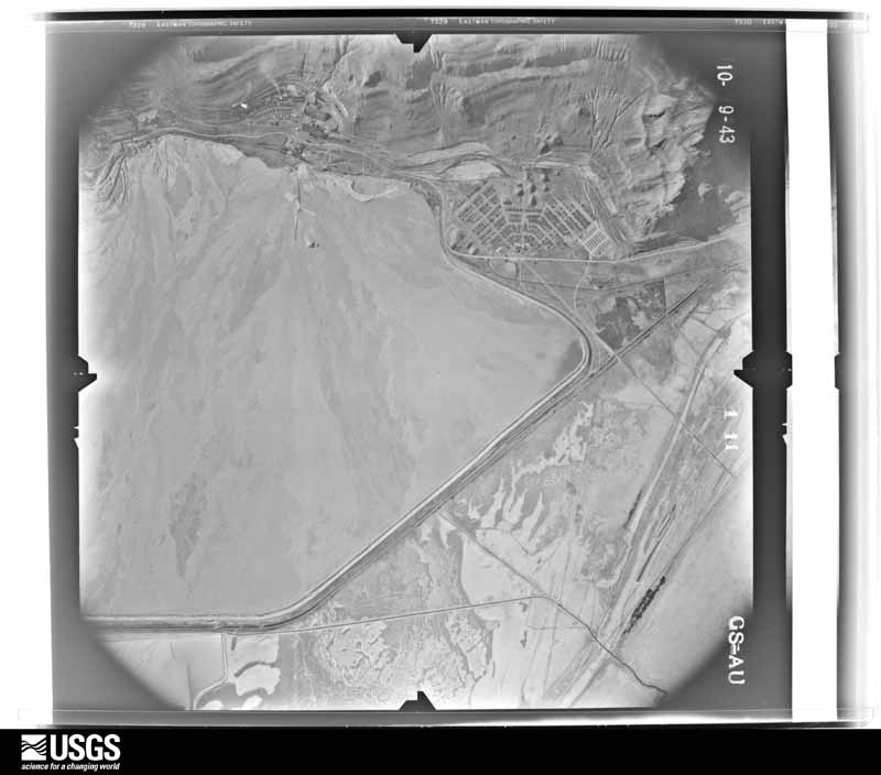
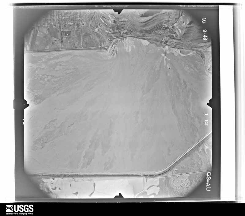
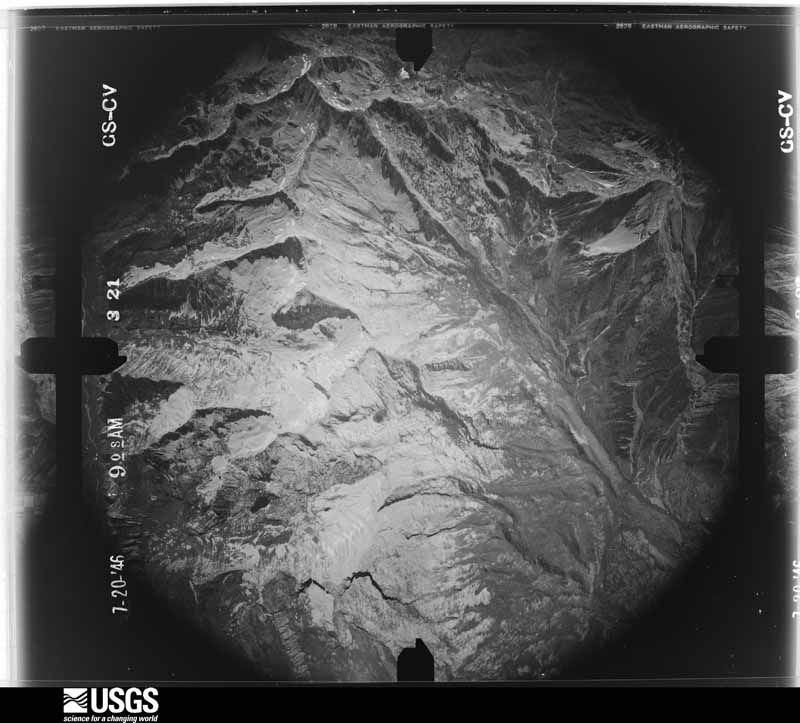
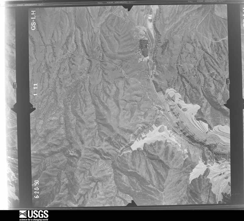
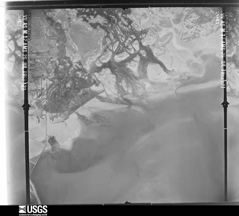
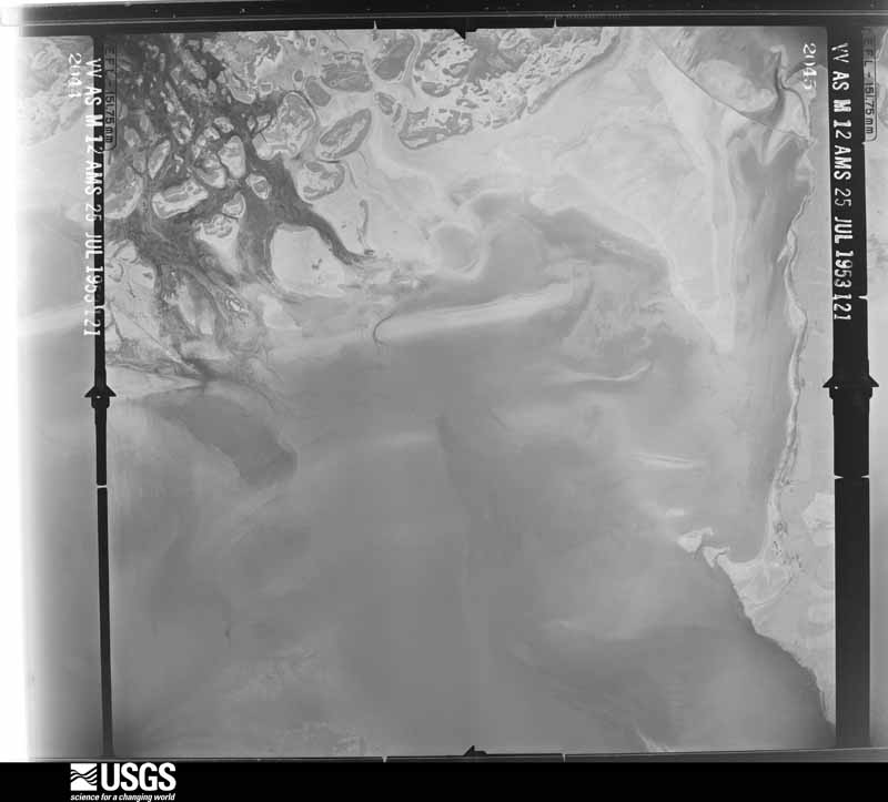
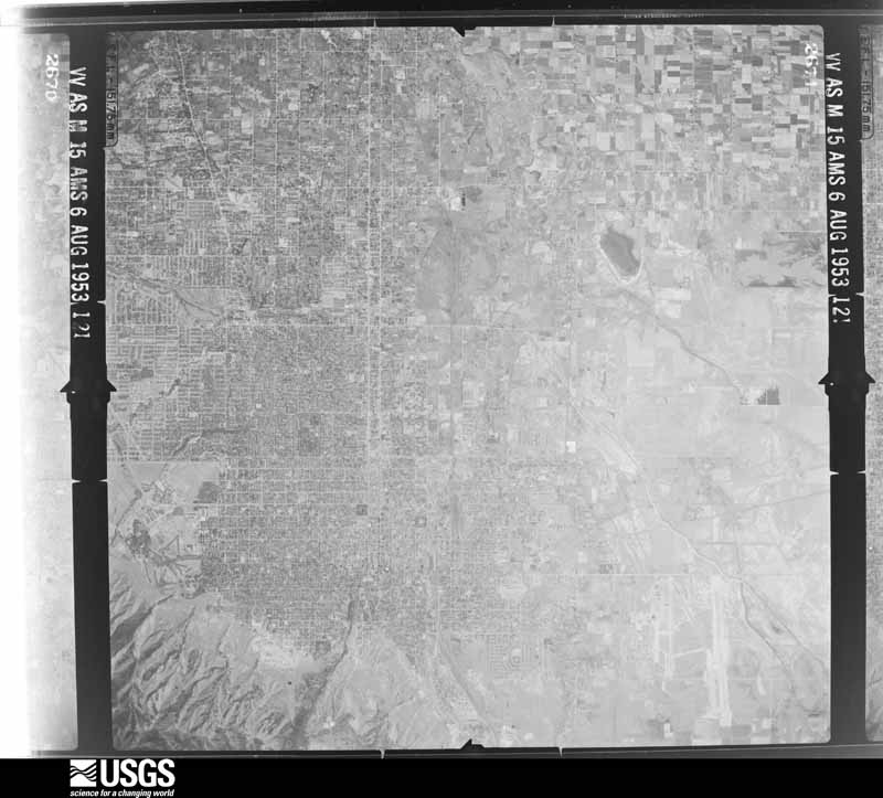
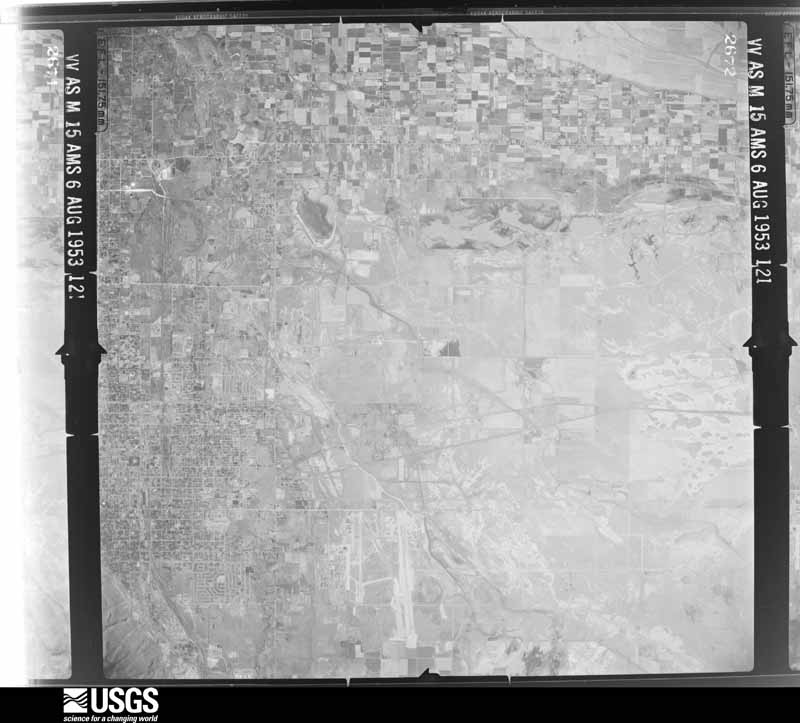
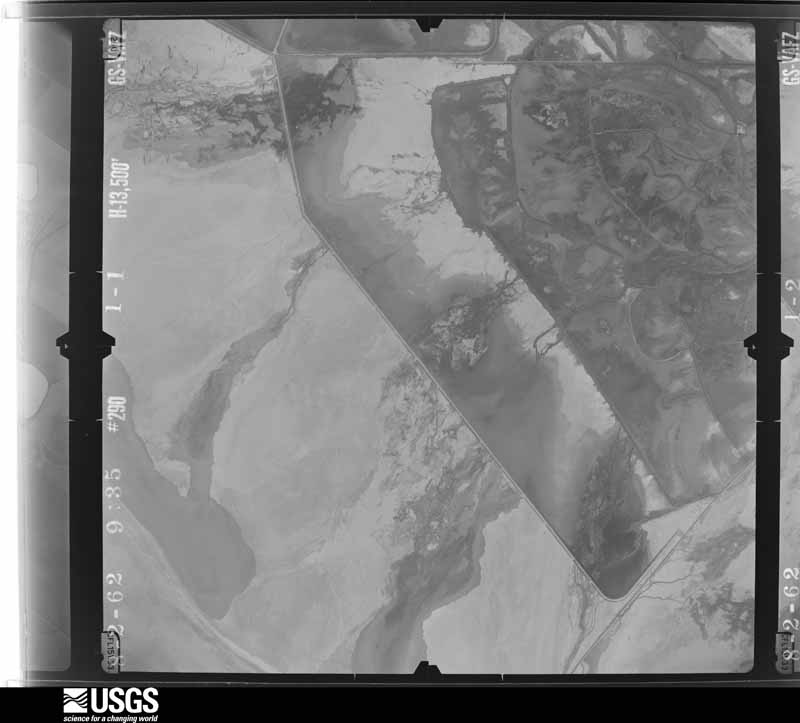
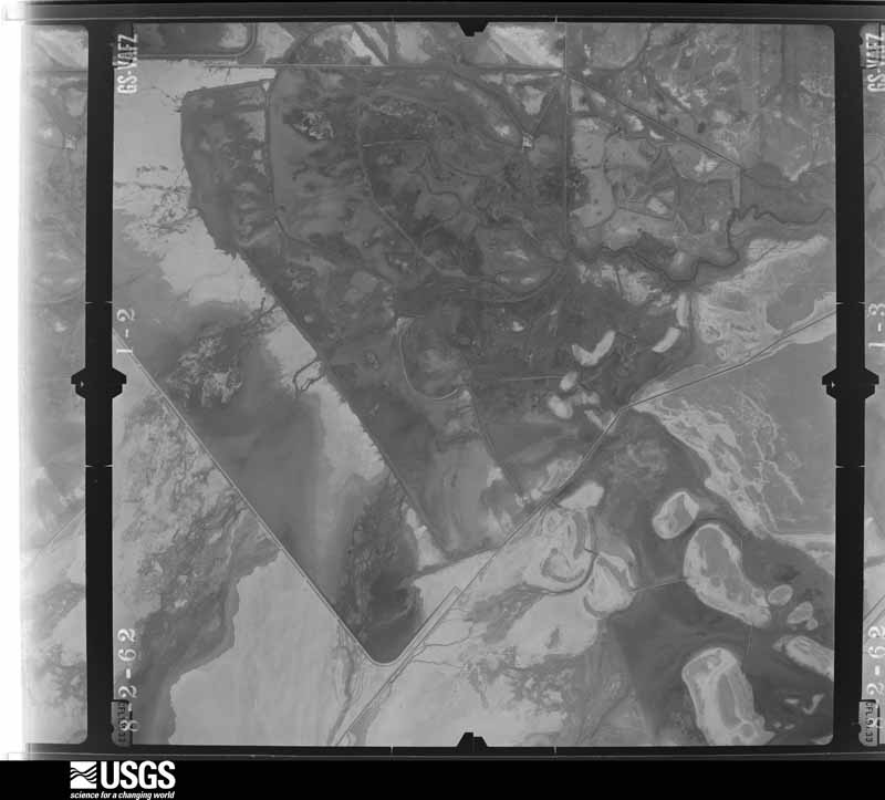
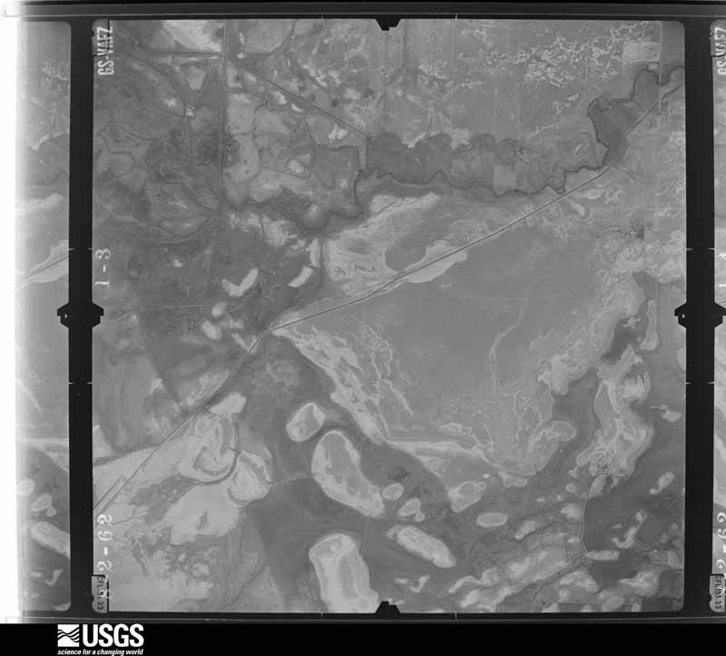
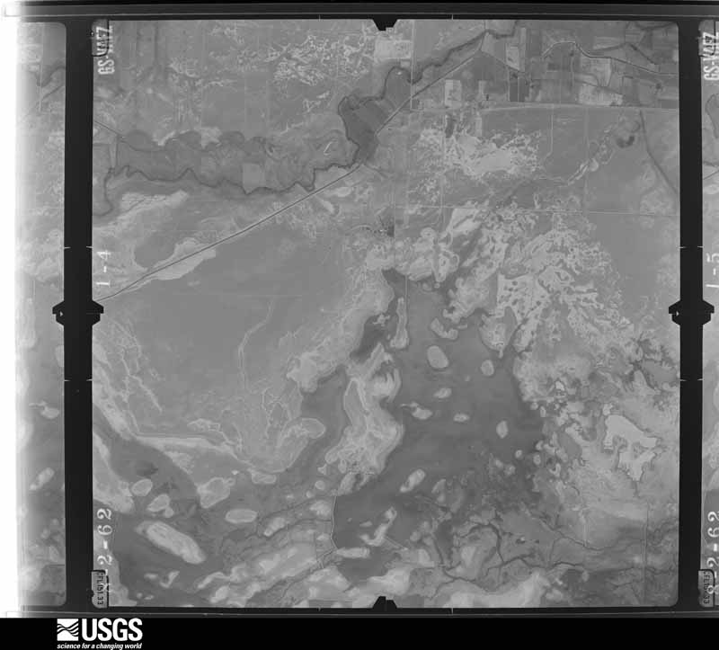
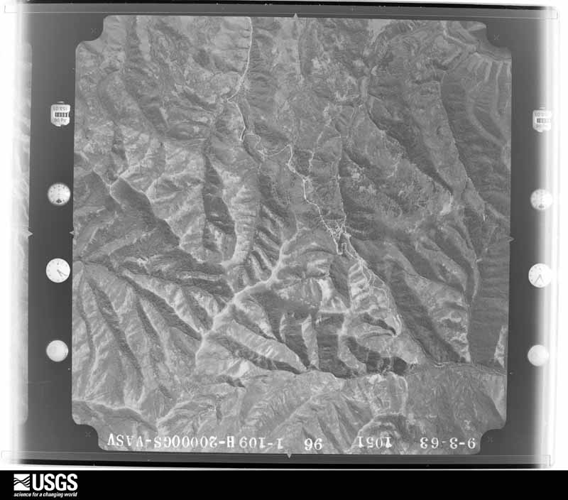
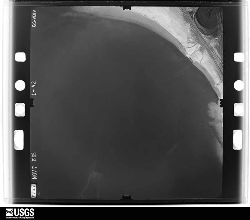
Flown by the U.S. Geological Survey between 1937 and 1989, the Aerial Photo Single Frames collection is the definitive mid-century view of the land: fields, roads and rivers as the camera saw them. The Survey holds 2,215 frames inside the rectangle that bounds this county; the 48 frames below were taken over the county itself, chosen across the decades of flights (at most four a year from that rectangle), so one flight cannot crowd out the rest. The full set is free to browse and download at EarthExplorer under the dataset Aerial Photo Single Frames.

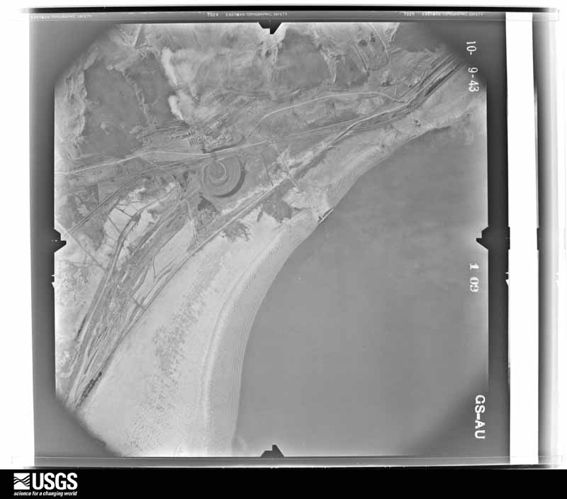
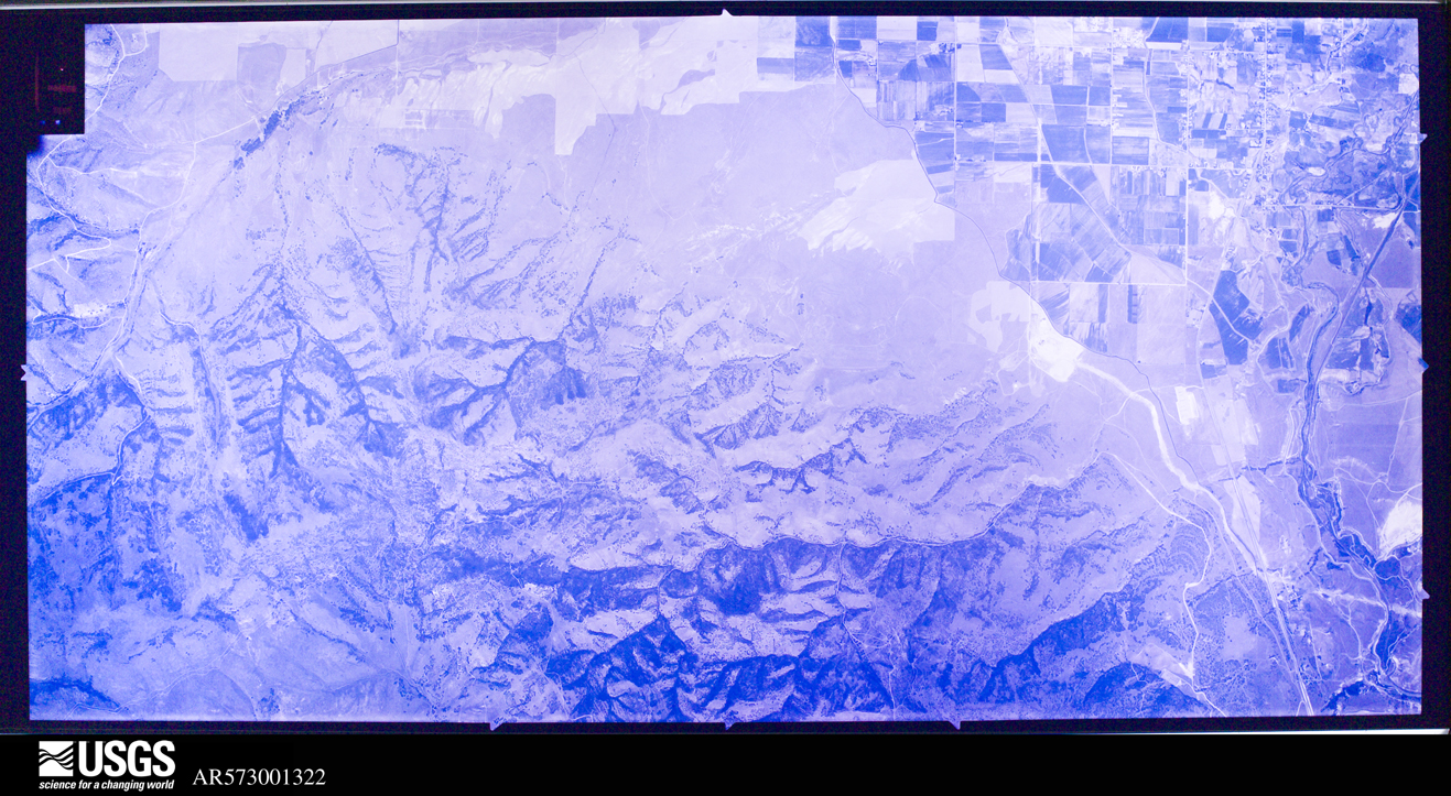
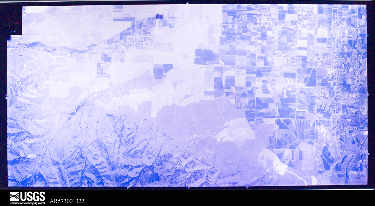
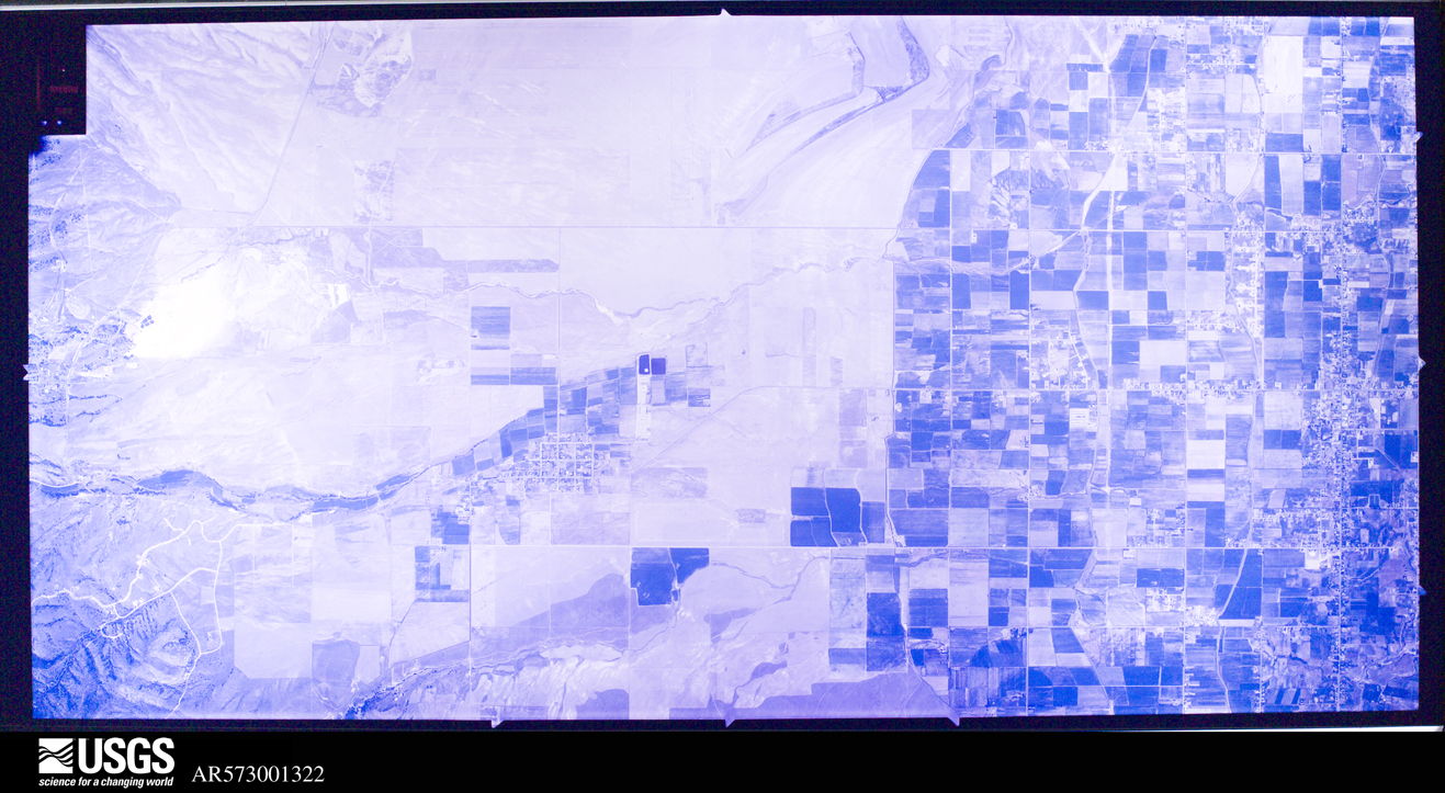
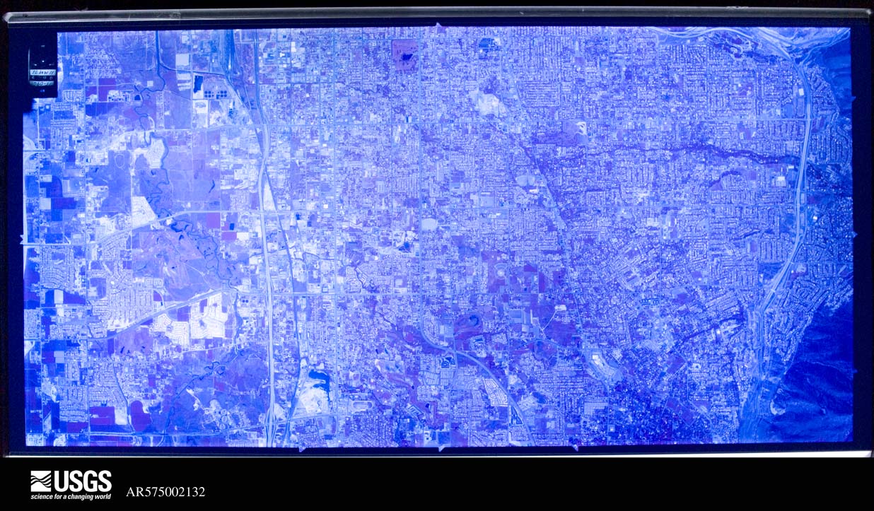
U.S. Geological Survey aerial photograph, 1943-10-09, scale 1:24000
1943-10-09, scale 1:24000. U.S. Geological Survey aerial photograph.
U.S. Geological Survey aerial photograph, 1943-10-09, scale 1:24000
1943-10-09, scale 1:24000. U.S. Geological Survey aerial photograph.
U.S. Geological Survey aerial photograph, 1943-10-09, scale 1:24000
1943-10-09, scale 1:24000. U.S. Geological Survey aerial photograph.
U.S. Geological Survey aerial photograph, 1943-10-09, scale 1:24000
1943-10-09, scale 1:24000. U.S. Geological Survey aerial photograph.
U.S. Geological Survey aerial photograph, 1946-11-01, scale 1:51000
1946-11-01, scale 1:51000. U.S. Geological Survey aerial photograph.
U.S. Geological Survey aerial photograph, 1946-11-01, scale 1:51000
1946-11-01, scale 1:51000. U.S. Geological Survey aerial photograph.
U.S. Geological Survey aerial photograph, 1947-09-20, scale 1:27200
1947-09-20, scale 1:27200. U.S. Geological Survey aerial photograph.
U.S. Geological Survey aerial photograph, 1947-09-20, scale 1:27200
1947-09-20, scale 1:27200. U.S. Geological Survey aerial photograph.
U.S. Geological Survey aerial photograph, 1947-09-20, scale 1:27200
1947-09-20, scale 1:27200. U.S. Geological Survey aerial photograph.
U.S. Geological Survey aerial photograph, 1947-09-20, scale 1:27200
1947-09-20, scale 1:27200. U.S. Geological Survey aerial photograph.
U.S. Geological Survey aerial photograph, 1950-08-01, scale 1:37400
1950-08-01, scale 1:37400. U.S. Geological Survey aerial photograph.
U.S. Geological Survey aerial photograph, 1950-08-01, scale 1:37400
1950-08-01, scale 1:37400. U.S. Geological Survey aerial photograph.
U.S. Geological Survey aerial photograph, 1950-08-01, scale 1:37400
1950-08-01, scale 1:37400. U.S. Geological Survey aerial photograph.
U.S. Geological Survey aerial photograph, 1950-08-01, scale 1:37400
1950-08-01, scale 1:37400. U.S. Geological Survey aerial photograph.
U.S. Geological Survey aerial photograph, 1953-07-25, scale 1:64000
1953-07-25, scale 1:64000. U.S. Geological Survey aerial photograph.
U.S. Geological Survey aerial photograph, 1953-07-25, scale 1:64000
1953-07-25, scale 1:64000. U.S. Geological Survey aerial photograph.
U.S. Geological Survey aerial photograph, 1953-08-06, scale 1:62400
1953-08-06, scale 1:62400. U.S. Geological Survey aerial photograph.
U.S. Geological Survey aerial photograph, 1953-08-06, scale 1:62400
1953-08-06, scale 1:62400. U.S. Geological Survey aerial photograph.
U.S. Geological Survey aerial photograph, 1962-08-02, scale 1:27000
1962-08-02, scale 1:27000. U.S. Geological Survey aerial photograph.
U.S. Geological Survey aerial photograph, 1962-08-02, scale 1:27000
1962-08-02, scale 1:27000. U.S. Geological Survey aerial photograph.
U.S. Geological Survey aerial photograph, 1962-08-02, scale 1:27000
1962-08-02, scale 1:27000. U.S. Geological Survey aerial photograph.
U.S. Geological Survey aerial photograph, 1962-08-02, scale 1:27000
1962-08-02, scale 1:27000. U.S. Geological Survey aerial photograph.
U.S. Geological Survey aerial photograph, 1963-09-03, scale 1:40000
1963-09-03, scale 1:40000. U.S. Geological Survey aerial photograph.
U.S. Geological Survey aerial photograph, 1966-05-05, scale 1:24000
1966-05-05, scale 1:24000. U.S. Geological Survey aerial photograph.
U.S. Geological Survey aerial photograph, 1966-05-05, scale 1:24000
1966-05-05, scale 1:24000. U.S. Geological Survey aerial photograph.
U.S. Geological Survey aerial photograph, 1966-05-05, scale 1:24000
1966-05-05, scale 1:24000. U.S. Geological Survey aerial photograph.
U.S. Geological Survey aerial photograph, 1966-05-05, scale 1:24000
1966-05-05, scale 1:24000. U.S. Geological Survey aerial photograph.
U.S. Geological Survey aerial photograph, 1969-09-26, scale 1:32000
1969-09-26, scale 1:32000. U.S. Geological Survey aerial photograph.
U.S. Geological Survey aerial photograph, 1969-09-26, scale 1:32000
1969-09-26, scale 1:32000. U.S. Geological Survey aerial photograph.
U.S. Geological Survey aerial photograph, 1969-09-26, scale 1:32000
1969-09-26, scale 1:32000. U.S. Geological Survey aerial photograph.
U.S. Geological Survey aerial photograph, 1969-09-26, scale 1:32000
1969-09-26, scale 1:32000. U.S. Geological Survey aerial photograph.
U.S. Geological Survey aerial photograph, 1970-05-22, scale 1:103179
1970-05-22, scale 1:103179. U.S. Geological Survey aerial photograph.
U.S. Geological Survey aerial photograph, 1970-05-22, scale 1:103179
1970-05-22, scale 1:103179. U.S. Geological Survey aerial photograph.
U.S. Geological Survey aerial photograph, 1970-05-22, scale 1:103179
1970-05-22, scale 1:103179. U.S. Geological Survey aerial photograph.
U.S. Geological Survey aerial photograph, 1970-05-22, scale 1:103179
1970-05-22, scale 1:103179. U.S. Geological Survey aerial photograph.
U.S. Geological Survey aerial photograph, 1971-10-07, scale 1:38000
1971-10-07, scale 1:38000. U.S. Geological Survey aerial photograph.
U.S. Geological Survey aerial photograph, 1971-10-07, scale 1:38000
1971-10-07, scale 1:38000. U.S. Geological Survey aerial photograph.
U.S. Geological Survey aerial photograph, 1971-10-07, scale 1:38000
1971-10-07, scale 1:38000. U.S. Geological Survey aerial photograph.
U.S. Geological Survey aerial photograph, 1971-10-07, scale 1:38000
1971-10-07, scale 1:38000. U.S. Geological Survey aerial photograph.
U.S. Geological Survey aerial photograph, 1972-08-23, scale 1:117000
1972-08-23, scale 1:117000. U.S. Geological Survey aerial photograph.
U.S. Geological Survey aerial photograph, 1972-08-23, scale 1:117000
1972-08-23, scale 1:117000. U.S. Geological Survey aerial photograph.
U.S. Geological Survey aerial photograph, 1972-08-23, scale 1:119000
1972-08-23, scale 1:119000. U.S. Geological Survey aerial photograph.
U.S. Geological Survey aerial photograph, 1972-08-23, scale 1:119000
1972-08-23, scale 1:119000. U.S. Geological Survey aerial photograph.
U.S. Geological Survey aerial photograph, 1973-07-09, scale 1:31000
1973-07-09, scale 1:31000. U.S. Geological Survey aerial photograph.
U.S. Geological Survey aerial photograph, 1973-07-09, scale 1:31000
1973-07-09, scale 1:31000. U.S. Geological Survey aerial photograph.
U.S. Geological Survey aerial photograph, 1973-07-09, scale 1:31000
1973-07-09, scale 1:31000. U.S. Geological Survey aerial photograph.
U.S. Geological Survey aerial photograph, 1973-07-09, scale 1:31000
1973-07-09, scale 1:31000. U.S. Geological Survey aerial photograph.
U.S. Geological Survey aerial photograph, 1975-06-11, scale 1:31000
1975-06-11, scale 1:31000. U.S. Geological Survey aerial photograph.

Weather records

102 stations, 77 gages

The thermometers that kept this county's weather, and the gages that measured the flow of its streams, as the federal records hold them. The extremes below are measured values from those records, not estimates.

The 1950 census, district by district

409 districts

Who lived here in 1950, one enumeration district at a time, as the Census Bureau described each district. Each row opens its official National Archives result, with Population Schedules and ED Maps available there.

  • 18-1Election Precinct 1: Election Precinct 1 - That part Bounded by Election Precinct line; County line; Election Precinct line; Range line between Ranges 1 and 2 E., Township 1 S.
  • 18-2Election Precinct 1 - That part Bounded by 34th S., 23rd E., Neffs Lane, Hillside Lane, 39th S., 27th E., 33rd S., Power line, 27th E., Salt Lake City limits, Election Precinct line; Range line between Ranges 1 and 2 E., Township 1 S.; Neffs Canyon, Camille, 41st S., 23rd E., Holladay Blvd., 45th S.; Election Precinct line, 20th E., Election Precinct line
  • 18-3Election Precinct 1 - That part Bounded by Salt Lake City limits; 27th E., Power line; 33rd S.; 26th E. (Oakwood)
  • 18-4Election Precinct 1 - That part Bounded by Salt Lake City limits; 26th E. (Oakwood); 33nd S.; 23rd E.
  • 18-5Election Precinct 1 - That part Bounded by Salt Lake City limits; Salt Lake City limits, 23rd E.; 31st S. (Lambourne Ave.); 21st E. (Connor)
  • 18-6Election Precinct 1 - That part Bounded by Salt Lake City limits; 21st E. (Connor), 31st S. (Lambourne Ave.), 23rd E.; 33rd S.; 20th E., Salt Lake City limits
  • 18-7Election Precinct 1 - That part Bounded by 33rd S.; 27th E.; 39th S., Hillside Lane, Neffs Lane, 23rd E., 34th S.; 20th E.
  • 18-8Election Precinct 1 - That part Bounded by 41st S.; Camille, Kerren, Wander Lane, 45th S., Russell, Murray-Holladay Rd., Upper Irrigation canal, Kentucky Ave., Wander Lane; Valleyview Ave., Holladay Blvd.; 23rd E.
  • 18-9Election Precinct 1 - That part Bounded by Neffs Canyon; Election Precinct line; Election Precinct line; 23rd E., Fardown Ave., 19th E., 47th S., Memory Lane, Memory Lane extended, Arbor Lane, Holladay Blvd. Valleyview Ave., Wander Lane, Kentucky Ave., Upper Irrigation Canal, Holladay Rd., Russell, 45th S., Wahder Lane, Kerren, Camille
  • 18-10Election Precinct 1 - That part Bounded by 47th S., Jordan and Salt Lake City Canal, 47th S., Murray- Holladay Rd., Property line of Holladay Ward Chapel grounds, Locust Lane; Holladay Blvd.; Arbor Lane; Memory Lane extended, Memory Lane, 47th S., Highland Dr.
  • 18-11Election Precinct 1 - That part Bounded by Cottonwood Creek, Election Precinct line, 45th S.; Holladay Blvd., Locust Lane, Property line of Holladay Ward Chapel Grounds, Murray-Holladay Rd., 47th S., Jordan and Salt Lake City Canal, 47th S., Highland Dr., 19th E., Fardown Ave., 23rd E.; Election Precinct line; Murray city limits
  • 18-12Election Precinct 2: South Salt Lake town: South Salt Lake town - That part excluding St. Ann's Orphanage and Day School Bounded by Town; limits Town limits; Town limits, Robert Ave., 4th E., Robert Ave., 3rd E., Taylor Ave.; State
  • 18-13Election Precinct 2: St. Ann's Orphanage and Day School (In South Salt Lake town)
  • 18-14Election Precinct 2: South Salt Lake town - That part Bounded by Town limits; State; Taylor Ave., W. Temple, Rio Grande Western Railroad; Town limits
  • 18-15Election Precinct 2: South Salt Lake town - That part Bounded by Rio Grande Western Railroad, W. Temple, Taylor Ave.; State; 27th S.; Town limits
  • 18-16Election Precinct 2: South Salt Lake town - That part Bounded by Taylor Ave., 3rd E., Robert Ave., 4th E., Robert Ave.; Town limits; 27th S.; State
  • 18-17Election Precinct 2: South Salt Lake town - That part Bounded by 27th S.; Town limits; Town limits; Town limits, 3rd E.
  • 18-18Election Precinct 2: South Salt Lake town - That part Bounded by 27th S.; 3rd E.; Town limits; State
  • 18-19Election Precinct 2: South Salt Lake town - That part Bounded by 27th S.; State; Town limits; Town limits
  • 18-20Election Precinct 2 - That part outside South Salt Lake town Bounded by Salt Lake City limits; Salt Lake City limits, South Salt Lake town limits; Election Precinct line; Jordan River, Salt Lake City; limits
  • 18-21Election Precinct 2 - That part excluding Fort Douglas Military Reservation (part), and College and Academy of St. Mary of the Wasatch Bounded by County line; County line; Election Precinct line; Salt Lake City limits, Wasatch Dr., Salt Lake City limits
  • 18-22Election Precinct 2: Fort Douglas Military Reservation - That part in Election Precinct 2 (Remainder of Fort Douglas Military Reservation is in Salt Lake City)
  • 18-23Election Precinct 2: College and Academy of St. Mary of the Wasatch (In Election Precinct 2)
  • 18-24Election Precinct 2 - That part (2 parts) Bounded by Salt Lake City limits; Wasatch Dr.; Salt Lake City limits; Salt Lake City limits
  • 18-25Election Precinct 3: Election Precinct 3 - That part Bounded by Salt Lake City limits; 20th E.; 31st S., 18th E., 33rd S.; 17th S., Salt Lake City limits
  • 18-26Election Precinct 3 - That part Bounded by Salt Lake City limits; 17th E.; 33rd S.; Highland Dr., Cresent Dr., Highland Dr.
  • 18-27Election Precinct 3 - That part Bounded by Salt Lake City limits; Highland Dr., Cresent Dr., Highland Dr.; 33rd S.; 9th E.
  • 18-28Election Precinct 3 - That part Bounded by Salt Lake City limits; Salt Laker City limits, 9th E.; 33rd S., 8th E., 31st S.; 7th E., Salt Lake City limits
  • 18-29Election Precinct 3 - That part Bounded by Salt Lake City limits; 7th E.; 33rd S.; 5th E., Salt Lake City limits
  • 18-30Election Precinct 3 - That part Bounded by Salt Lake City limits; 5th E.; 39th S.; 3rd E.
  • 18-31Election Precinct 3 - That part Bounded by Salt Lake City limits; 3rd E.; 33rd S., 2nd E., Ford Ave., State, 33rd S.; 1st W. (West Temple)
  • 18-32Election Precinct 3 - That part Bounded by 33rd S., State, Ford Ave., 2nd E., 33rd S.; 3rd E.; 40th S. (Hill Ave.), State, 39th S.; Main
  • 18-33Election Precinct 3 - That part Bounded by 33rd S., 7th E., Scott Ave, Mill Creek; 13th E.; 39th S.; 5th E.
  • 18-34Election Precinct 3 - That part Bounded by 31st S., 8th E., 33rd S.; Highland Dr.; Murphy's Lane, 13th E., Mill Creek, Scott Ave.; 7th E.
  • 18-35Election Precinct 3 - That part Bounded by 33rd S., 18th E., 31st S.; 20th E., Election Precinct line; Siggard Dr., Forrest Hills Dr.; Highland Dr.
  • 18-36BElection Precinct 3 - That part Bounded by Forest Hills Dr., Siggard Dr.; 20th E.; Gunderson, S. Woodside Dr., 4045 S.; Highland Dr.
  • 18-36AElection Precinct 3 - That part Bounded by Murphy's Lane; Highland Dr., 4045 S., S. Woodside Dr., Gunderson, 20th E., Election Precinct line; 45th S., Election Precinct line, Big Cottonwood Creek; 13th E.
  • 18-37Election Precinct 3 - That part Bounded by 39th S.; 13th E.; Big Cottonwood Creek; 9th E.
  • 18-38Election Precinct 3 - That part Bounded by 39th S.; 9th E.; Murray city limits; 45th S., 5th E.
  • 18-39Election Precinct 3 - That part Bounded by 40th S. (Hill Ave.), 3rd E., 39th S.; 5th E.; 45th S., Murray city limits, Big Cottonwood Creek; State
  • 18-40Election Precinct 3 - That part Bounded by South Salt Lake town limits; 1st W. (W. Temple), 33rd S., Main, 39th S., State. Big Cottonwood Creek; Murray city limits; Main, 41st S. (Central Ave.), 1st W. (W. Temple), 39th S., 3rd W., Unnamed Street, Denver and Rio Grande Western Railroad, 33rd S., Gregson Ave., 3rd W.
  • 18-41Election Precinct 3 - That part Bounded by Election Precinct line; South Salt Lake town limits, 3rd W., Gregson Ave., 33rd S., Denver and Rio Grande Western Railroad, Unnamed street, 3rd W., 39th S., 1st W. (W. Temple), 41st S. (Central Ave.), Main; Murray city limits; Jordan River
  • 18-42Election Precinct 4: Garfield, unincorporated: Garfield, unincorporated - That part Bounded by U.S. Hwy. 50; Pipe line; Bingham and Garfield Railroad; Lincoln extended, Lincoln
  • 18-43Election Precinct 4: Garfield, unincorporated - That part Bounded by U.S. Hwy. 50; Lincoln, Lincoln extended; Bingham and Garfield Railroad; Drainage ditch, Drainage ditch extended
  • 18-44Election Precinct 4: Magna, unincorporated: Magna, unincorporated - That part Bounded by 24th S.; Drainage ditch, U.S. Hwy. 50; 27th S.; Little Valley Wash drainage ditch
  • 18-45AElection Precinct 4: Magna,unincorporated - That part Bounded by 27th S.; U.S. Hwy. 50; 31st S., 86th W., 30th S.; 9050 W.
  • 18-45BElection Precinct 4: Magna, unincorporated - That part Bounded by 27th S.; 9050 W.; 30th S.; Little Valley Wash Drainage Ditch
  • 18-46Election Precinct 4: Magna, unincorporated - That part Bounded by 30th S. extended, 30th S., 86th W., 31st S.; U.S. Hwy. 50; 35th S.; Denver and Rio Grande Western Railroad, Little Valley Wash drainage ditch
  • 18-47Election Precinct 4 - That part outside the unincorporated places of Garfield and Magna, north of U.S. Hwy. 50 (See separate maps for boundaries of Garfield and Magna)
  • 18-48Election Precinct 4 - That part outside the unincorporated places of Garfield and Magna, south of U.S. Hwy. 50 (See separate maps for boundaries of Garfield and Magna)
  • 18-49Election Precinct 5: Election Precinct 5 - That part Bounded by Election Precinct line; Salt Lake City limits, 21st S., 36th S.; 35th S.; Election Precinct line
  • 18-50Election Precinct 5 - That part outside Area A (See Enumeration District map for boundaries of Area A) Bounded by 21st S., Salt Lake City limits; Jordan River; 35rd S., 35th S.; 36th W.
  • 18-51Election Precinct 5 - That part comprising Area A Bounded by Brighton Canal; Unnamed ditch; W. Sunset Ave.; 17th W.
  • 18-52Election Precinct 5 - That part Bounded by 35th S.; Jordan River; Election Precinct line; 17th W.
  • 18-53Election Precinct 5 - That part Bounded by 35th S.; 17th W.; Election Precinct line; 40th W.
  • 18-54Election Precinct 5 - That part Bounded by 35th S.; 40th W.; Election Precinct line; 58th W.
  • 18-55Election Precinct 5 - That part Bounded by 35th S.; 58th W.; Election Precinct line; Election Precinct line
  • 18-56Midvale city, comprising parts of Election Precincts 6 and 7: Midvale city - That part in Election Precinct 6 Bounded by City limits; City limits; E. Center; Denver and Rio Grande Western Railroad, Sugar, North Main
  • 18-57Midvale city, comprising parts of Election Precincts 6 and 7: Midvale city - That part in Election Precinct 6 Bounded by City limits; North Main, Sugar, Denver and Rio Grande Western Railroad; W. Center; City limits
  • 18-58Midvale city, comprising parts of Election Precincts 6 and 7: Midvale city - That part in Election Precinct 6 Bounded by W. Center, E. Center; City limits; City limits, Election Precinct line, City limits, Election Precinct line, City Limits; City limits
  • 18-59Midvale city, comprising parts of Election Precincts 6 and 7: Midvale city - That part in Election Precinct 7 (2 parts) Bounded by Election Precinct line; City limits; City limits; City limits
  • 18-60Election Precinct 6, outside Midvale city: Election Precinct 6 - That part Bounded by Election Precinct line; 20th E.; Election Precinct line; 7th E.
  • 18-61Election Precinct 6 - That part Bounded by Murray city limits, Election Precinct line; 7th E.; Election Precinct line; Election Precinct line, Midvale city limits, State East Center, East Center extended, Salt Lake City canal, 75th S., Midvale city limits
  • 18-62Election Precinct 6 - That part Bounded by 75th S.; Salt Lake City Canal; East Center extended, East Center, State, Midvale city limits; Midvale city limits (Remainder of Election Precinct 6 is in Midvale city)
  • 18-63Election Precinct 7, outside Midvale city: Sandy City: Sandy City - That part north of 2nd S.
  • 18-64Election Precinct 7, outside Midvale city: Sandy City - That part south of 2nd S.
  • 18-65Election Precinct 7 - That part Bounded by Election Precinct line; County line; Election Precinct line, Wasatch National Forest boundary, Little Cottonwood Canyon Rd., Little Cottonwood Creek Rd.; Election Precinct line
  • 18-66Election Precinct 7 - That part Bounded by Election Precinct line, Little Cottonwood Creek Rd.; Little Cottonwood Canyon Rd., Wasatch National Forest boundary; Election Precinct line; 7th E., Sandy City limits, 7th E.
  • 18-67Election Precinct 7 - That part Bounded by Midvale city limits, State, Election Precinct line; 7th E., Sandy City limits, 7th E.; Election Precinct line, State, Election Precinct line; Jordan River (Remainder of Election Precinct 7 is in Midvale city)
  • 18-68Election Precinct 8: Riverton town: Riverton town - That part east of 27th W.
  • 18-69Election Precinct 8: Riverton town - That part west of 27th W.
  • 18-70Election Precinct 8: Draper, unincorporated: Draper, unincorporated - That part Bounded by Unnamed Rd.; Union Pacific Railroad; Unnamed Rd., Federal Aid Secondary (F.A.S.) Hwy., State Hwy. 111; State Hwy. 71, State East Jordan Canal
  • 18-71Election Precinct 8: Draper, unincorporated - That part Bounded by State Hwy. 111, F.A.S. Hwy. Unnamed road; A southwesterly line from the intersection of unnamed road and Union Pacific Railroad to junction of Federal Aid Secondary (F.A.S.) Hwy. and unnamed road; Unnamed road, Unnamed road extended, East Jordan Canal, Unnamed street, Unnamed street extended; Unnamed road
  • 18-72Election Precinct 8 - That part outside Draper, unincorporated, including all islands in this enumeration district, and excluding Utah State Prison (Honor camp) Bounded by Election Precinct line; Election Precinct line; County line; State Hwy. 68, Riverton town limits (See separate map for boundaries of Draper)
  • 18-73Election precinct 8: Utah State Prison (Honor Camp) (In Election Precinct 8)
  • 18-74Election Precinct 8 - That part Bounded by Election Precinct line, South Jordan town limits, Riverton town limits; State Hwy. 68; County line; Election Precinct line
  • 18-75Election Precinct 9: South Jordan town
  • 18-76Election Precinct 9: West Jordan town: West Jordan town - That part east of 22nd W.
  • 18-77Election Precinct 9: West Jordan town - That part west of 22nd W.
  • 18-78Election Precinct 9 - That part outside South Jordan and West Jordan towns
  • 18-79Election Precinct 10: Bingham Canyon town: Bingham Canyon town - That part Bounded by Town limits; Town limits; Vehicular Tunnel; Main. (State Hwy. 48)
  • 18-80Election Precinct 10: Bingham Canyon town - That part Bounded by Town limits; Main (State Hwy. 48); Markham; Town limits
  • 18-81Election Precinct 10: Bingham canyon town - That part Bounded by Markham; Main, Carr Fork; Town limits; Town limits
  • 18-82Election Precinct 10: Bingham Canyon town - That part Bounded by Vehicular Tunnel; Town limits; Town limits; Carr Fork
  • 18-83Election Precinct 10: Copperfield, unincorporated (See boundaries shown on aerial photo C01-1-136)
  • 18-84Election Precinct 10: Copperton, unincorporated (See boundaries shown on aerial photo 10-AAL3-51)
  • 18-85Election Precinct 10: Lark, unincorporated (See boundaries shown on aerial photo AAL-2B-111)
  • 18-86Election Precinct 10 - That part outside Bingham Canyon town and the unincorporated places of Copperfield, Copperton and Lark. (See aerial photo CO1-1-136 for boundaries of Copperfield, aerial photo AAL-2B-111 for boundaries of Copperton, and aerial photo 10-AA1-3-33 for boundaries of Lark) Bounded by Election precinct line; Election precinct line; Election precinct line; County line; County line
  • 18-87N/A
  • 18-88N/A
  • 18-89N/A
  • 18-90N/A
  • 18-91N/A
  • 18-92N/A
  • 18-93N/A
  • 18-94N/A
  • 18-95N/A
  • 18-96N/A
  • 18-97N/A
  • 30-1Salt Lake City - coextensive with Salt Lake City Election Precinct: Salt Lake City - That part of Ward 1 (Area C-part) Bounded by 6th S.; Ward line; 7th S.; 10th E. This Enumeration District consists of the following blocks: 321, 322, 323, 324, 325
  • 30-2Salt Lake City - coextensive with Salt Lake City Election Precinct: Salt Lake City - That part of Ward 1 (Area C-part) Bounded by 7th S.; Ward line; 8th S.; 10th E. This Enumeration District consists of the following blocks: 352, 353, 354, 355, 356, 357, 358
  • 30-3Salt Lake City - coextensive with Salt Lake City Election Precinct: Salt Lake City - That part of Ward 1 (Area C-part) Bounded by 8th S.; Ward line, Sunnyside Ave., 14th E.; 9th S.; 10th E. This Enumeration District consists of the following blocks: 359, 360, 361, 362, 363, 364, 365
  • 30-4Salt Lake City - coextensive with Salt Lake City Election Precinct: Salt Lake City - That part of Ward 1 (Area C-part) Bounded by 6th S.; 10th E.; 9th S.; 9th E. This Enumeration District consists of the following blocks: 326, 351, 366, 367
  • 30-5Salt Lake City - coextensive with Salt Lake City Election Precinct: Salt Lake City - That part of Ward 1 (Area C-part) Bounded by 6th S.; 9th E.; 9th S.; 8th E. This Enumeration District consists of the following blocks: 327, 328, 349, 350, 368, 369
  • 30-6Salt Lake City - coextensive with Salt Lake City Election Precinct: Salt Lake City - That part of Ward 1 (Area C-part) Bounded by 6th S.; 8th E.; 9th S.; 7th E. This Enumeration District consists of the following blocks: 329, 330, 331, 347, 348, 370, 371
  • 30-7Salt Lake City - coextensive with Salt Lake City Election Precinct: Salt Lake City - That part of Ward 1 (Area C-part) Bounded by 6th S.; 7th E., 7th S., Green; 8th S.; 6th E. This Enumeration District consists of the following blocks: 332, 345
  • 30-8Salt Lake City - coextensive with Salt Lake City Election Precinct: Salt Lake City - That part of Ward 1 (Area C-part) Bounded by 7th S.; 7th E.; 9th S.; 6th E., 8th S., Green This Enumeration District consists of the following blocks: 346, 372, 373
  • 30-9Salt Lake City - coextensive with Salt Lake City Election Precinct: Salt Lake City - That part of Ward 1 (Area C-part) Bounded by 6th S.; 6th E., 7th S., Park, Lowell Ave., Park; 8th S.; 5th E. This Enumeration District consists of the following blocks: 333, 334, 342, 343
  • 30-10Salt Lake City - coextensive with Salt Lake City Election Precinct: Salt Lake City - That part of Ward 1 (Area C-part) Bounded by 7th S.; 6th E.; 9th S.; 5th E., 8th S., Park, Lowell Ave., Park This Enumeration District consists of the following blocks: 344, 374, 375
  • 30-11Salt Lake City - coextensive with Salt Lake City Election Precinct: Salt Lake City - That part of Ward 1 (Area C-part) Bounded by 6th S.; 5th E.; 8th S.; 4th E. This Enumeration District consists of the following blocks: 335, 336, 337, 341
  • 30-12Salt Lake City - coextensive with Salt Lake City Election Precinct: Salt Lake City - That part of Ward 1 (Area C-part) Bounded by 8th S.; 5th E.; 9th S.; 4th E. This Enumeration District consists of the following blocks: 376, 377
  • 30-13Salt Lake City - coextensive with Salt Lake City Election Precinct: Salt Lake City - That part of Ward 1 (Area C-part) Bounded by 6th S.; 4th E.; 7th S.; 3rd E. This Enumeration District consists of the following blocks: 338, 339
  • 30-14Salt Lake City - coextensive with Salt Lake City Election Precinct: Salt Lake City - That part of Ward 1 (Area C-part) Bounded by 7th S.; 4th E.; 9th S.; 3rd E. This Enumeration District consists of the following blocks: 340, 378, 379
  • 30-15Salt Lake City - coextensive with Salt Lake City Election Precinct: Salt Lake City - That part of Ward 1 (Area B-part) Bounded by 6th S.; 3rd E.; 7th S.; Edison This Enumeration District consists of the following blocks: 198, 199
  • 30-16Salt Lake City - coextensive with Salt Lake City Election Precinct: Salt Lake City - That part of Ward 1 (Area B-part) Bounded by 6th S.; Edison; 7th S.; Main This Enumeration District consists of the following blocks: 196, 197
  • 30-17Salt Lake City - coextensive with Salt Lake City Election Precinct: Salt Lake City - That part of Ward 1 (Area B-part) Bounded by 7th S.; 3rd E.; 8th S.; Main This Enumeration District consists of the following blocks: 200, 201, 202, 203
  • 30-18Salt Lake City - coextensive with Salt Lake City Election Precinct: Salt Lake City - That part of Ward 1 (Area B-part) Bounded by 8th S.; 3rd E.; 9th S.; Main This Enumeration District consists of the following blocks: 223, 224, 225, 226, 227
  • 30-19Salt Lake City - coextensive with Salt Lake City Election Precinct: Salt Lake City - That part of Ward 1 (Area E-part) Bounded by 9th S.; 2nd E., Belmont Ave., State; Herbert Ave.; Main This Enumeration District consists of the following blocks: 12, 13, 14
  • 30-20Salt Lake City - coextensive with Salt Lake City Election Precinct: Salt Lake City - That part of Ward 1 (Area E-part) Bounded by 9th S.; 3rd E.; Herbert Ave., 2nd E., Herbert Ave.; State, Belmont Ave., 2nd E.; This Enumeration District consists of the following blocks: 10, 11, 39, 40, 41, 59
  • 30-21Salt Lake City - coextensive with Salt Lake City Election Precinct: Salt Lake City - That part of Ward 1 (Area E-part) Bounded by Herbert Ave.; State, Edith Ave., 2nd E.; 13th S.; Main This Enumeration District consists of the following blocks: 62, 89, 107, 108, 109
  • 30-22Salt Lake City - coextensive with Salt Lake City Election Precinct: Salt Lake City - That part of Ward 1 (Area E-part) Bounded by Herbert Ave.; 2nd E.; Edith Ave.; State This Enumeration District consists of the following blocks: 60, 61, 90, 91, 106
  • 30-23Salt Lake City - coextensive with Salt Lake City Election Precinct: Salt Lake City - That part of Ward 1 (Area E-part) Bounded by Herbert Ave.; 3rd E.; 13th S.; 2nd E. This Enumeration District consists of the following blocks: 58, 92, 104, 105
  • 30-24Salt Lake City - coextensive with Salt Lake City Election Precinct: Salt Lake City - That part of Ward 1 (Area E-part) Bounded by Herbert Ave.; 4th E.; 13th S.; 3rd E. This Enumeration District consists of the following blocks: 56, 57, 93, 102, 103
  • 30-25Salt Lake City - coextensive with Salt Lake City Election Precinct: Salt Lake City - That part of Ward 1 (Area E-part) Bounded by Herbert Ave.; 5th E.; 13th S.; 4th E. This Enumeration District consists of the following blocks: 54, 55, 94, 101
  • 30-26Salt Lake City - coextensive with Salt Lake City Election Precinct: Salt Lake City - That part of Ward 1 (Area E-part) Bounded by 9th S.; 7th E.; 13th S.; 5th E., Herbert Ave., 3rd E. This Enumeration District consists of the following blocks: 5, 6, 7, 8, 9, 42, 43, 44, 45
  • 30-27Salt Lake City - coextensive with Salt Lake City Election Precinct: Salt Lake City - That part of Ward 1 (Area E-part) Bounded by 9th S.; 8th E.; Yale Ave.; 7th E. This Enumeration District consists of the following blocks: 3, 4, 46, 47
  • 30-28Salt Lake City - coextensive with Salt Lake City Election Precinct: Salt Lake City - That part of Ward 1 (Area E-part) Bounded by 9th S.; 9th E.; Yale Ave.; 8th E. This Enumeration District consists of the following blocks: 1, 2, 48, 49
  • 30-29Salt Lake City - coextensive with Salt Lake City Election Precinct: Salt Lake City - That part of Ward 1 (Area E-part) Bounded by Yale Ave.; 8th E;. 13th S.; 7th E. This Enumeration District consists of the following blocks: 52, 53, 95, 96, 96, 100
  • 30-30Salt Lake City - coextensive with Salt Lake City Election Precinct: Salt Lake City - That part of Ward 1 (Area E-part) Bounded by Yale Ave.; 9th E.; 13th S.; 8th E. This Enumeration District consists of the following blocks: 50, 51, 97, 98
  • 30-31Salt Lake City - coextensive with Salt Lake City Election Precinct: Salt Lake City - That part of Ward 1 (Area D-part) Bounded by 9th S.; 10th E.; Herbert Ave.; 9th E. This Enumeration District consists of the following blocks: 41, 42, 43, 44
  • 30-32Salt Lake City - coextensive with Salt Lake City Election Precinct: Salt Lake City - That part of Ward 1 (Area D-part) Bounded by 9th S.; 11th E.; Yale Ave., McClelland, Yale Ave.; 9th E., Herbert Ave., 10th E. This Enumeration District consists of the following blocks: 39, 40, 45, 46, 69
  • 30-33Salt Lake City - coextensive with Salt Lake City Election Precinct: Salt Lake City - That part of Ward 1 (Area D-part) Bounded by Yale Ave., McClelland, Yale Ave.; 11th E.; Princeton Ave.; 9th E. This Enumeration District consists of the following blocks: 70, 71, 90, 91
  • 30-34Salt Lake City - coextensive with Salt Lake City Election Precinct: Salt Lake City - That part of Ward 1 (Area D-part) Bounded by Princeton Ave.; 11th E.; 13th S.; 9th E. This Enumeration District consists of the following blocks: 92, 93, 116
  • 30-35Salt Lake City - coextensive with Salt Lake City Election Precinct: Salt Lake City - That part of Werd 1 (Area D-part) Bounded by Yale Ave.; 13th E.; 13th S.; 11th E. This Enumeration District consists of the following blocks: 72, 88, 89, 94, 115
  • 30-36Salt Lake City - coextensive with Salt Lake City Election Precinct: Salt Lake City - That part of Ward 1 (Area D-part) Bounded by 9th S.; 13th E.; Yale Ave.; 11th E. This Enumeration District consists of the following blocks: 36, 37, 38, 47, 48, 49, 50, 68
  • 30-37Salt Lake City - coextensive with Salt Lake City Election Precinct: Salt Lake City - That part of Ward 1 (Area D-part) Bounded by 9th S., 14th E., Sunnyside Ave.; Amanda Ave., 9th S., 15th E.; Yale Ave.; 13th E. This Enumeration District consists of the following blocks: 34, 35, 51, 52, 65, 66, 67
  • 30-38Salt Lake City - coextensive with Salt Lake City Election Precinct: Salt Lake City - That part of Ward 1 (Area D-part) Bounded by Yale Ave.; 15th E.; 13th S.; 13th E. This Enumeration District consists of the following blocks: 73, 85, 86, 87, 95, 114
  • 30-39Salt Lake City - coextensive with Salt Lake City Election Precinct: Salt Lake City - That part of Ward 1 (Area D-part) Bounded by Harvard Ave.; 17th E.; 13th S.; 15th E. This Enumeration District consists of the following blocks: 84, 96, 113
  • 30-40Salt Lake City - coextensive with Salt Lake City Election Precinct: Salt Lake City - That part of Ward 1 (Area D-part) Bounded by Michigan Ave., Diestel Rd., 9th S.; Military Dr., 17th E.; Harvard Ave.; 15th E. This Enumeration District consists of the following blocks: 26, 53, 62, 63, 64, 74
  • 30-41Salt Lake City - coextensive with Salt Lake City Election Precinct: Salt Lake City - That part of Ward 1 (Area D-pert) Bounded by Sunnyside Ave.; Diestel Rd.; Michigan Ave.; 15th E., 9th S., Amanda Ave. This Enumeration District consists of the following blocks: 27, 28, 29, 30, 31, 32, 33
  • 30-42Salt Lake City - coextensive with Salt Lake City Election Precinct: Salt Lake City - That part of Ward 1 (Area D-part) Bounded by Sunnyside Ave.; 19th E.; Michigan Ave., 18th E., Yalecrest Ave.; 17th E., Military Dr., 9th S., Diestel Rd. This Enumeration District consists of the following blocks: 20, 21, 22, 23, 24, 25, 54
  • 30-43Salt Lake City - coextensive with Salt Lake City Election Precinct: Salt Lake City - That part of Ward 1 (Area D-part) Bounded by Yalecrest Ave., 18th E., Michigan Ave.; 19th E.; Harvard Ave., 18th E., Yale Ave.; 17th E. This Enumeration District consists of the following blocks: 55, 60, 61, 75, 76, 80
  • 30-44Salt Lake City - coextensive with Salt Lake City Election Precinct: Salt Lake City - That part of Ward 1 (Area D-part) Bounded by Yale Ave., 18th E., Harvard Ave.; 19th E.; 13th S.; 17th E. This Enumeration District consists of the following blocks: 81, 82, 83, 97, 98, 110, 111, 112
  • 30-45Salt Lake City - coextensive with Salt Lake City Election Precinct: Salt Lake City - That part of Ward 1 (Area D-part) Bounded by Sunnyside Ave.; 20th E., 13th S.; City limits; City limits, 19th E.; This Enumeration District consists of the following blocks: 16, 17, 18, 19, 56, 59, 77, 79, 99, 109, 137, 138, 139, 141
  • 30-46Salt Lake City - coextensive with Salt Lake City Election Precinct: Salt Lake City - That part of Ward 1 (Area D-part) Bounded by Sunnyside Ave.; City limits; City limits, Old City limits; City Limits, 13th S., 20th E. This Enumeration District consists of the following blocks: 1, 2, 3, 4, 5, 6, 7, 8, 9, 10, 11, 12, 13, 14, 15, 57, 58, 78, 101, 102, 103, 104, 105, 106, 107, 108, 140
  • 30-47Salt Lake City - coextensive with Salt Lake City Election Precinct: Salt Lake City - That part of Ward 1 (Area D-part) Bounded by 13th S.; 19th E.; Harrison Ave.; 15th E. This Enumeration District consists of the following blocks: 127, 128, 129, 130, 131, 132, 133, 134, 135, 136
  • 30-48Salt Lake City - coextensive with Salt Lake City Election Precinct: Salt Lake City - That part of Ward 1 (Area D-part) Bounded by Harrison Ave.; 19th E., City limits; Ward line, 17th E., 17th S.; 16th E. This Enumeration District consists of the following blocks: 142, 143, 144, 167, 168, 190, 191, 192, 193N, 194W
  • 30-49Salt Lake City - coextensive with Salt Lake City Election Precinct: Salt Lake City - That part of Ward 1 (Area D-part) Bounded by Harrison Ave.; 16th E.; 17th S.; 15th E. This Enumeration District consists of the following blocks: 145, 146, 165, 166, 169, 170, 189
  • 30-50Salt Lake City - coextensive with Salt Lake City Election Precinct: Salt Lake City - That part of Ward 1 (Area D-part) Bounded by 13th S.; 15th E;. Browning Ave., 14th E., Harrison Ave.; 13th E., Sherman Ave., 14th E. This Enumeration District consists of the following blocks: 124, 125, 126, 147
  • 30-51Salt Lake City - coextensive with Salt Lake City Election Precinct: Salt Lake City - That part of Ward 1 (Area D-part) Bounded by 13th S.; 14th E., Sherman Ave., 13th E.; Harrison Ave.; 11th E. This Enumeration District consists of the following blocks: 121, 122, 123
  • 30-52Salt Lake City - coextensive with Salt Lake City Election Precinct: Salt Lake City - That part of Ward 1 (Area D-part) Bounded by Harrison Ave.; 14th E., Browning Ave., 15th E., Roosevelt Ave., 14th E.; Emerson Ave.; 11th E. This Enumeration District consists of the following blocks: 148, 149, 150, 151, 152, 159, 161
  • 30-53Salt Lake City - coextensive with Salt Lake City Election Precinct: Salt Lake City - That part of Ward 1 (Area D-part) Bounded by Emerson Ave.; 14th E., Kensington Ave., 13th E.; Bryan Ave.; 11th E. This Enumeration District consists of the following blocks: 160, 162, 175
  • 30-54Salt Lake City - coextensive with Salt Lake City Election Precinct: Salt Lake City - That part of Ward 1 (Area D-part) Bounded by Roosevelt Ave.; 15th E.; Bryan Ave., 14th E., Bryan Ave.; 13th E., Kensington Ave., 14th E. This Enumeration District consists of the following blocks: 163, 164, 171, 173
  • 30-55Salt Lake City - coextensive with Salt Lake City Election Precinct: Salt Lake City - That part of Ward 1 (Area D-part) Bounded by Bryan Ave., 14th E., Bryan Ave.; 15th E.; 17th S.; 15th E. This Enumeration District consists of the following blocks: 172, 174, 187, 188
  • 30-56Salt Lake City - coextensive with Salt Lake City Election Precinct: Salt Lake City - That part of Werd 1 (Area D-part) Bounded by Bryan Ave.; 13th E.; 17th S.; 11th E. This Enumeration District consists of the following blocks: 176, 184, 185, 186
  • 30-57Salt Lake City - coextensive with Salt Lake City Election Precinct: Salt Lake City - That part of Ward 1 (Area D-part) Bounded by 13th S.; 11th E.; 17th S.; 10th E. This Enumeration District consists of the following blocks: 119, 120, 153, 154, 157, 158, 177, 178, 182, 183
  • 30-58Salt Lake City - coextensive with Salt Lake City Election Precinct: Salt Lake City - That part of Ward 1 (Area D-part) Bounded by 13th S.; 10th E., Browning Ave., Lincoln; Kensington Ave.; 9th E. This Enumeration District consists of the following blocks: 117, 118, 156
  • 30-59N/A
  • 30-60Salt Lake City - coextensive with Salt Lake City Election Precinct: Salt Lake City - That part of Ward 1 (Area E-part) Bounded by Roosevelt Ave.; 9th E.; 17th S.; 8th E. This Enumeration District consists of the following blocks: 177, 202, 203, 204, 205
  • 30-61Salt Lake City - coextensive with Salt Lake City Election Precinct: Salt Lake City - That part of Ward 1 (Area E-part) Bounded by 13th S.; 9th E.; Roosevelt Ave.; 8th E. This Enumeration District consists of the following blocks: 138, 139, 140, 176
  • 30-62Salt Lake City - coextensive with Salt Lake City Election Precinct: Salt Lake City - That part of Ward 1 (Area E-part) Bounded by 13th S.; 8th E.; Roosevelt Ave.; 6th E., Harrison Ave., 7th E. This Enumeration District consists of the following blocks: 137, 141, 142, 174, 175
  • 30-63Salt Lake City - coextensive with Salt Lake City Election Precinct: Salt Lake City - That part of Ward 1 (Area E-part) Bounded by Roosevelt Ave.; 8th E.; 17th S.; 6th E., Bryan Ave., 7th E. This Enumeration District consists of the following blocks: 178, 200, 201, 206, 207, 208, 209
  • 30-64Salt Lake City - coextensive with Salt Lake City Election Precinct: Salt Lake City - That part of Ward 1 (Area E-part) Bounded by Emerson Ave., 6th E., Roosevelt Ave.; 7th E., Bryan Ave., 6th E.; 17th S.; 5th E. This Enumeration District consists of the following blocks: 179, 180, 197, 198, 199, 211
  • 30-65Salt Lake City - coextensive with Salt Lake City Election Precinct: Salt Lake City - That part of Ward 1 (Area E-part) Bounded by 13th S.; 7th E., Harrison Ave., 6th E.; Emerson Ave.; 5th E. This Enumeration District consists of the following blocks: 133, 134, 135, 136, 143, 144, 172, 173
  • 30-66Salt Lake City - coextensive with Salt Lake City Election Precinct: Salt Lake City - That part of Ward 1 (Area E-part) Bounded by 13th S.; 5th E.; Emerson Ave., 4th E., Roosevelt Ave.; 3rd E. This Enumeration District consists of the following blocks: 131, 132, 145, 146, 147, 148, 149, 150, 169, 171
  • 30-67Salt Lake City - coextensive with Salt Lake City Election Precinct: Salt Lake City - That part of Ward 1 (Area E-part) Bounded by Roosevelt Ave., 4th E., Emerson Ave.; 5th E.; Bryan Ave.; 3rd E. This Enumeration District consists of the following blocks: 170, 181, 195, 196
  • 30-68Salt Lake City - coextensive with Salt Lake City Election Precinct: Salt Lake City - That part of Ward 1 (Area E-part) Bounded by Bryan Ave.; 5th E.; 17th S.; 3rd E. This Enumeration District consists of the following blocks: 212, 213, 214, 215, 216
  • 30-69Salt Lake City - coextensive with Salt Lake City Election Precinct: Salt Lake City - That part of Ward 1 (Area E-part) Bounded by Browning Ave.; 3rd E.; 17th S.; State, Kensington Ave., 2nd E. This Enumeration District consists of the following blocks: 167, 168, 194
  • 30-70Salt Lake City - coextensive with Salt Lake City Election Precinct: Salt Lake City - That part of Ward 1 (Area E-part) Bounded by 13th S.; 3rd E.; Browning Ave., 2nd E., Cleveland Ave.; State This Enumeration District consists of the following blocks: 128, 129, 130
  • 30-71Salt Lake City - coextensive with Salt Lake City Election Precinct: Salt Lake City - That part of Ward 1 (Area E-part) Bounded by 13th S.; State, Cleveland Ave., 2nd E.; Kensington Ave.; Main This Enumeration District consists of the following blocks: 126, 127, 151, 152, 163, 164, 165, 166
  • 30-72Salt Lake City - coextensive with Salt Lake City Election Precinct: Salt Lake City - That part of Ward 1 (Area E-part) Bounded by Kensington Ave.; State; 17th S.; Main This Enumeration District consists of the following blocks: 182, 183, 192, 193, 217, 218
  • 30-73Salt Lake City - coextensive with Salt Lake City Election Precinct: Salt Lake City - That part of Ward 2 (Area B-part) Bounded by S. Temple; Main; 1st S.; Richards This Enumeration District consists of the following block: 118
  • 30-74Salt Lake City - coextensive with Salt Lake City Election Precinct: Salt Lake City - That part of Ward 2 (Area B-part), excluding Temple Square Hotel in Block 117 Bounded by S. Temple; Richards; 1st S.; W. Temple This Enumeration District consists of the following block: 117-part
  • 30-75Salt Lake City - coextensive with Salt Lake City Election Precinct: Salt Lake City - That part of Ward 2 (Area B-part), comprising Temple Square Hotel in Block 117
  • 30-76Salt Lake City - coextensive with Salt Lake City Election Precinct: Salt Lake City - That part of Ward 2 (Area B-part) Bounded by 1st S.; Main; 2nd S.; W. Temple This L.D. consists of the following blocks 130
  • 30-77Salt Lake City - coextensive with Salt Lake City Election Precinct: Salt Lake City - That part of Ward 2 (Area B-part) Bounded by S. Temple; W. Temple; 2nd S.; 1st W. This Enumeration District consists of the following blocks: 116, 131
  • 30-78Salt Lake City - coextensive with Salt Lake City Election Precinct: Salt Lake City - That part of Ward 2 (Area B-part) Bounded by 1st S.; 1st W.; 2nd S.; 3rd W. This Enumeration District consists of the following blocks: 132, 133
  • 30-79Salt Lake City - coextensive with Salt Lake City Election Precinct: Salt Lake City - That part of Ward 2 (Area B-part) Bounded by S. Temple, Ward line, S. Temple; 1st W., 1st S., 3rd W.; 2nd S.; 5th W. This Enumeration District consists of the following blocks: 109S, 111, 112, 113, 114, 115, 134, 135, 136
  • 30-80Salt Lake City - coextensive with Salt Lake City Election Precinct: Salt Lake City - That part of Ward 2 (Area A-part) Bounded by S. Temple; 5th W.; 2nd S., 6th W., 1st S.; 8th W. This Enumeration District consists of the following blocks: 124, 125, 126, 127, 144
  • 30-81Salt Lake City - coextensive with Salt Lake City Election Precinct: Salt Lake City - That part of Ward 2 (Area A-part) Bounded by 1st S.; 6th W.; 2nd S., 7th W., 3rd S.; 8th W. This Enumeration District consists of the following blocks: 141, 142, 143, 146, 147
  • 30-82Salt Lake City - coextensive with Salt Lake City Election Precinct: Salt Lake City - That part of Ward 2 (Area A-part) Bounded by 2nd S.; 8th W.; 3rd S.; Jordan River This Enumeration District consists of the following blocks: 148, 149, 150, 151, 152, 153, 154
  • 30-83Salt Lake City - coextensive with Salt Lake City Election Precinct: Salt Lake City - That part of Ward 2 (Area A-part) Bounded by S. Temple; 8th W.; 2nd S.; Jordan River This Enumeration District consists of the following blocks: 128, 129, 130, 131, 137, 138, 139, 140
  • 30-84Salt Lake City - coextensive with Salt Lake City Election Precinct: Salt Lake City - That part of Ward 2 (Area A-part) Bounded by Salt Lake, Garfield & Western Railroad; Jordan River, Emery; 5th S., Navajo, 3rd S.; Redwood Rd. This Enumeration District consists of the following blocks: 132-S., 135, 136, 155, 156, 157, 158, 159, 160, 161, 165, 166, 167, 168, 169, 170, 171, 172
  • 30-85Salt Lake City - coextensive with Salt Lake City Election Precinct: Salt Lake City - That part of Ward 2 (Area A-part) Bounded by Salt Lake, Garfield & Western Railroad; Redwood Rd.; Surplus Canal, Indiana Ave., Monterey, 9th S.; City limits This Enumeration District consists of the following blocks: 133-S., 134, 162-S., 163, 210, 211, 213, 327
  • 30-86Salt Lake City - coextensive with Salt Lake City Election Precinct: Salt Lake City - That part of Ward 2 (Area A-part) Bounded by 3rd S.; Navajo, 5th S., Emery; 7th S., Cheyenne, Arapahoe Ave.; Redwood Rd. This Enumeration District consists of the following blocks: 164, 202, 203, 204, 205, 206, 207, 208, 209, 215, 216, 217, 218, 219, 220, 221, 222, 223, 224, 225, 226, 227
  • 30-87Salt Lake City - coextensive with Salt Lake City Election Precinct: Salt Lake City - That part of Ward 2 (Area A-part) Bounded by Jordan River, 3rd S.; Goshen, 5th S., 9th W.; 6th S., Jordan River, 10th W., 6th S.; Emery This Enumeration District consists of the following blocks: 173, 174, 175, 176, 177, 197, 198, 199, 200
  • 30-88Salt Lake City - coextensive with Salt Lake City Election Precinct: Salt Lake City - That part of Ward 2 (Area A-part) Bounded by 3rd S.; 8th W.; 4th S., 9th W., 5th S.; Soshen This Enumeration District consists of the following blocks: 178, 179, 180, 182
  • 30-89Salt Lake City - coextensive with Salt Lake City Election Precinct: Salt Lake City - That part of Ward 2 (Area A-part) Bounded by 4th S.; 8th W.; 6th S.; 9th W. This Enumeration District consists of the following blocks: 181, 183, 195, 196
  • 30-90Salt Lake City - coextensive with Salt Lake City Election Precinct: Salt Lake City - That part of Ward 2 (Area A-part) Bounded by 3rd S.; 7th W.; 6th S.; 8th W. This Enumeration District consists of the following blocks: 184, 185, 186, 187, 193, 194
  • 30-91Salt Lake City - coextensive with Salt Lake City Election Precinct: Salt Lake City - That part of Ward 2 (Area A-part) Bounded by 2nd S.; 5th W.; 6th S.; 7th W. This Enumeration District consists of the following blocks: 145, 188, 189, 190, 191, 192
  • 30-92Salt Lake City - coextensive with Salt Lake City Election Precinct: Salt Lake City - That part of Ward 2 (Area B-part) Bounded by 2nd S.; 2nd W., 4th S., 3rd W.; 6th S.; 5th W. This Enumeration District consists of the following blocks: 137, 138, 139, 140, 141, 161, 162, 163, 164, 165, 166, 186, 187
  • 30-93N/A
  • 30-94Salt Lake City - coextensive with Salt Lake City Election Precinct: Salt Lake City - That part of Ward 2 (Area B-part) Bounded by 3rd S.; W. Temple; 4th S.; 2nd W. This Enumeration District consists of the following blocks: 158, 159, 160
  • 30-95Salt Lake City - coextensive with Salt Lake City Election Precinct: Salt Lake City - That part of Ward 2 (Area B-part), excluding Peery Hotel in Block 144 Bounded by 2nd S.; W. Temple; 3rd S.; 2nd W. This Enumeration District consists of the following blocks: 142, 143, 144-part
  • 30-96Salt Lake City - coextensive with Salt Lake City Election Precinct: Salt Lake City - That part of Ward 2 (Area B-part), comprising Peery Hotel in Block 144 [Illegible]
  • 30-97Salt Lake City - coextensive with Salt Lake City Election Precinct: Salt Lake City - That part of Ward 2 (Area B-part), excluding Milner Hotel in Block 145 Bounded by 2nd S.; Main; 4th S.; W. Temple This Enumeration District consists of the following blocks: 145-part, 156, 157
  • 30-98Salt Lake City - coextensive with Salt Lake City Election Precinct: Salt Lake City - That part of Ward 2 (Area B-part), comprising Milner Hotel in Block 145
  • 30-99Salt Lake City - coextensive with Salt Lake City Election Precinct: Salt Lake City - That part of Ward 2 (Area B-part), excluding Newhouse Hotel in Block 172 Bounded by 4th S.; Main, 5th S., W. Temple; 6th S.; 1st W. This Enumeration District consists of the following blocks: 169, 170, 171, 172-part, 182
  • 30-100Salt Lake City - coextensive with Salt Lake City Election Precinct: Salt Lake City - That part of Ward 2 (Area B-part), comprising Newhouse Hotel in Block 172
  • 30-101Salt Lake City - coextensive with Salt Lake City Election Precinct: Salt Lake City - That part of Ward 2 (Area B-part) Bounded by 5th S.; Main; 6th S.; W. Temple This Enumeration District consists of the following block: 181
  • 30-102Salt Lake City - coextensive with Salt Lake City Election Precinct: Salt Lake City - That part of Ward 2 (Area B-part) Bounded by 6th S.; Main; 7th S.; Volney Ct., Portola Ave., W. Temple This Enumeration District consists of the following blocks: 194, 195
  • 30-103Salt Lake City - coextensive with Salt Lake City Election Precinct: Salt Lake City - That part of Ward 2 (Area B-part) Bounded by 6th S.; W. Temple, Portola Ave., Volney Ct.; 7th S.; 2nd W. This Enumeration District consists of the following blocks: 191, 192, 193
  • 30-104Salt Lake City - coextensive with Salt Lake City Election Precinct: Salt Lake City - That part of Ward 2 (Area B-part) Bounded by 7th S.; Main; 8th S.; 2nd W. This Enumeration District consists of the following blocks: 204, 205, 206, 207, 208, 209
  • 30-105Salt Lake City - coextensive with Salt Lake City Election Precinct: Salt Lake City - That part of Ward 2 (Area B-part) Bounded by 8th S.; Main; 9th S.; 2nd W. This Enumeration District consists of the following blocks: 217, 218, 219, 220, 221, 222
  • 30-106Salt Lake City - coextensive with Salt Lake City Election Precinct: Salt Lake City - That part of Ward 2 (Area B-part) Bounded by 6th S.; 2nd W.; 9th S.; 5th W. This Enumeration District consists of the following blocks: 188, 189, 190, 210, 211, 212, 213, 214, 215, 216
  • 30-107Salt Lake City - coextensive with Salt Lake City Election Precinct: Salt Lake City - That part of Ward 2 (Area A-part) Bounded by 6th S.; 5th W.; 9th S.; 8th W. This Enumeration District consists of the following blocks: 235, 236, 237, 238, 239, 240, 241, 242, 243, 281, 282, 283, 284, 285
  • 30-108Salt Lake City - coextensive with Salt Lake City Election Precinct: Salt Lake City - That part of Ward 2 (Area A-part) Bounded by 6th S., 10th W., Jordan River, 6th S.; 8th W., 9th S., Jordan River; California Ave.; Emery This Enumeration District consists of the following blocks: 228, 229, 230, 231, 232, 233, 234, 244, 245, 246, 247, 248, 249, 250, 251, 252, 278, 279, 280, 286, 287, 288, 289, 290, 291, 292, 293, 307, 308, 309, 310, 311, 312, 313, 314, 315, 316
  • 30-109Salt Lake City - coextensive with Salt Lake City Election Precinct: Salt Lake City - That part of Ward 2 (Area A-part) Bounded by Arapahoe Ave., Cheyenne, 7th S.; Emery; Indiana Ave., 14th W., 9th S.; Redwood Rd. This Enumeration District consists of the following blocks: 214, 253, 254, 255, 256, 257, 258, 259, 260, 261, 262, 263, 264, 265, 266, 267, 268, 269, 270, 271
  • 30-110Salt Lake City - coextensive with Salt Lake City Election Precinct: Salt Lake City - That part of Ward 2 (Area A-part) Bounded by 9th S., Monterey, Indiana Ave., Surplus Canal, Redwood Rd., California Ave.; Jordan River, City limits; City limits; City limits This Enumeration District consists of the following blocks: 212, 328, 329, 330, 331, 332, 333, 334, 335, 336, 337, 338, 339, 340, 341, 342, 343, 344, 345, 346, 347, 348, 349, 350, 351, 352, 353, 354, 355, 356, 357, 358, 359, 360
  • 30-111Salt Lake City - coextensive with Salt Lake City Election Precinct: Salt Lake City - That part of Ward 2 (Area A-part) Bounded by 9th S., 14th W., American Ave.; Navajo; California Ave.; Redwood Rd. This Enumeration District consists of the following blocks: 301, 302, 323, 324, 325, 326
  • 30-112ASalt Lake City - coextensive with Salt Lake City Election Precinct: Salt Lake City - That part of Ward 2 Bounded by Mead Ave.; Emery; California Ave.; Navajo This Enumeration District consists of the following blocks: 303, 304, 305, 306, 317, 318, 319, 320, 321, 322
  • 30-112BSalt Lake City - coextensive with Salt Lake City Election Precinct: Salt Lake City - That part of Ward 2 Bounded by Indiana Ave.; Emery; Mead Ave., Navajo, American Ave.; 14th W. This Enumeration District consists of the following blocks: 272, 273, 274, 275, 276, 277, 294, 295, 296, 297, 298, 299, 300
  • 30-113Salt Lake City - coextensive with Salt Lake City Election Precinct: Salt Lake City - That part of Ward 2 (Area E-part) Bounded by 9th S.; 6th W.; City limits, 13th S.; Jordan River This Enumeration District consists of the following blocks: 26, 27, 28, 29, 30, 31, 32, 71, 72, 73, 74, 75, 76, 77, 78, 115
  • 30-114Salt Lake City - coextensive with Salt Lake City Election Precinct: Salt Lake City - That part of Ward 2 (Area E-part) Bounded by 9th S.; 2nd W.; 13th S., City limits; 6th W. This Enumeration District consists of the following blocks: 20, 21, 22, 23, 24, 25, 34, 35, 67, 68, 69, 70, 79, 80, 81, 82, 83, 114, 3[illegible]7
  • 30-115Salt Lake City - coextensive with Salt Lake City Election Precinct: Salt Lake City - That part of Ward 2 (Area E-part) Bounded by 9th S.; Main; Fremont Ave., W. Temple, Mead Ave., 1st W., Brooklyn Ave.; 2nd W. This Enumeration District consists of the following blocks: 15,16, 17, 18, 19, 36, 37, 38
  • 30-116Salt Lake City - coextensive with Salt Lake City Election Precinct: Salt Lake City - That part of Ward 2 (Area E-part) Bounded by Brooklyn Ave., 1st W., Mead Ave.; W. Temple; Fremont Ave., 1st W., Paxton Ave.; 2nd W. This Enumeration District consists of the following blocks: 63, 64, 65, 66
  • 30-117Salt Lake City - coextensive with Salt Lake City Election Precinct: Salt Lake City - That part of Ward 2 (Area E-part) Bounded by Paxton Ave., 1st W., Fremont Ave., W. Temple, Fremont Ave.; Main; 13th S.; 2nd W. This Enumeration District consists of the following blocks: 84, 85, 86, 87, 88, 110, 111, 112, 113
  • 30-118Salt Lake City - coextensive with Salt Lake City Election Precinct: Salt Lake City - That part of Ward 2 (Area E-part) Bounded by 13th S.; Main; Merrimac Ave., W. Temple, Albemarle Ave., 1st W., Paramount Ave., 2nd W., Van Buren Ave.; City limits This Enumeration District consists of the following blocks: 121, 122, 123, 124, 125, 155, 156, 157, 158, 159, 185, 186, 187, 188
  • 30-119Salt Lake City - coextensive with Salt Lake City Election Precinct: Salt Lake City - That part of Ward 2 (Area E-part) Bounded by Albemarle Ave., W. Temple, Merrimac Ave.; Main; Harris Ave.; 1st W. This Enumeration District consists of the following blocks: 153, 154, 160, 161, 162, 184, 191
  • 30-120Salt Lake City - coextensive with Salt Lake City Election Precinct: Salt Lake City - That part of Ward 2 (Area E-part) Bounded by Van Buren Ave., 2nd W., Paramount Ave., 1st W., Harris Ave.; Main; Quayle Ave., W. Temple, 17th S., 2nd W., City limits; City limits This Enumeration District consists of the following blocks: 189, 190, 219, 220, 221, 222, 223, 224, 225, 226, 229, 230
  • 30-121Salt Lake City - coextensive with Salt Lake City Election Precinct: Salt Lake City - That part of Ward 2 (Area E-part) Bounded by Jordan River, 13th S.; City limits; City limits; Jordan River This Enumeration District consists of the following blocks: 116, 117, 118, 119, 120
  • 30-122Salt Lake City - coextensive with Salt Lake City Election Precinct: Salt Lake City - That part of Ward 2 (Area E-part) Bounded by 17th S.; W. Temple; City limits; City limits, 2nd W. This Enumeration District consists of the following blocks: 227, 228
  • 30-123Salt Lake City - coextensive with Salt Lake City Election Precinct: Salt Lake City - That part of Ward 2 (Area E-part) Bounded by Quayle Ave.; Main; City limits; W. Temple This Enumeration District consists of the following blocks: 263, 264, 294, 295
  • 30-124Salt Lake City - coextensive with Salt Lake City Election Precinct: Salt Lake City - That part of Ward 3 (Area B-part) Bounded by City limits; Ward line, Bonneville Blvd.; Girard Ave.; Victory Rd., Beck, Bamberger Railroad This Enumeration District consists of the following blocks: 1W., 2
  • 30-125Salt Lake City - coextensive with Salt Lake City Election Precinct: Salt Lake City - That part of Ward 3 (Area B-part) Bounded by Bamberger Railroad, Beck; Victory Rd.; Fern Ave., Wall, Reed Ave., 2nd W., 7th N., 3rd W., 5th N.; Oregon Short Line Railroad This Enumeration District consists of the following blocks: 3, 4, 5, 6, 7, 8, 9, 10, 11, 12, 13, 14, 15, 16, 17, 18, 19, 27
  • 30-126Salt Lake City - coextensive with Salt Lake City Election Precinct: Salt Lake City - That part of Ward 3 (Area A-part) Bounded by City limits; Oregon Short Line Railroad; 9th N. extended, 9th N.; Jordan River, City limits This Enumeration District consists of the following blocks: 1, 2, 5, 6, 7, 8, 9, 10, 11, 12, 13 N
  • 30-127Salt Lake City - coextensive with Salt Lake City Election Precinct: Salt Lake City - That part of Ward 3 (Area A-part) Bounded by City limits; Jordan River; Salt Lake Garfield & Western Railroad; City limits This Enumeration District consists of the following blocks: 3, 4, 22, 23-part, 24, 47, 48, 104, 105, 106, 132N., 133N., 162N. SUPERVISOR NOTE: This Enumeration District is expected to require subdivision. Examine before enumeration. See instructions
  • 30-128Salt Lake City - coextensive with Salt Lake City Election Precinct: Salt Lake City - That part of Ward 3 (Area A-part) Bounded by 9th N.; 9th W., 7th N., 11th W.; 4th N.; Jordan River This Enumeration District consists of the following blocks: 16, 17, 18, 19, 20, 21, 25, 26, 27, 28, 42, 43, 44, 45, 46, 49, 50, 51, 52, 53, 75, 76
  • 30-129Salt Lake City - coextensive with Salt Lake City Election Precinct: Salt Lake City - That part of Ward 3 (Area A-part) Bounded by 7th N.; American Beauty Dr., 6th N., 8th W.; 4th N.; 11th W. This Enumeration District consists of the following blocks: 37, 38, 39, 40, 41, 54, 55, 56, 57, 58, 59, 69, 70, 71, 72, 73, 74
  • 30-130Salt Lake City - coextensive with Salt Lake City Election Precinct: Salt Lake City - That part of Ward 3 (Area A-part) Bounded by 9th N., 9th N. extended; Oregon Short Line Railroad; 5th N., 7th W., 4th N.; 8th W., 6th N., American Beauty Dr., 7th N., 9th W. This Enumeration District consists of the following blocks: 13S., 14, 15, 29, 30, 31, 32, 33, 34, 35, 36, 60, 61, 62, 67, 68
  • 30-131Salt Lake City - coextensive with Salt Lake City Election Precinct: Salt Lake City - That part of Ward 3 (Area B-part) Bounded by 7th N., 2nd W., Reed Ave.; 1st W., 6th N., 2nd W.; 5th N.; 3rd W. This Enumeration District consists of the following blocks: 25, 26, 28, 29
  • 30-132Salt Lake City - coextensive with Salt Lake City Election Precinct: Salt Lake City - That part of Ward 3 (Area B-part) Bounded by 6th N., 1st W., Wall, Fern Ave.; Victory Rd.; Girard Ave., Center, 5th N.; 2nd W. This Enumeration District consists of the following blocks: 20, 21, 22, 23, 24, 37, 38, 31, 43
  • 30-133Salt Lake City - coextensive with Salt Lake City Election Precinct: Salt Lake City - That part of Ward 3 (Area B-part) Bounded by Girard Ave. E.; Capitol; 4th N., W. Capitol, Zane Ave., Wall, 4th N.; Center This Enumeration District consists of the following blocks: 39, 40, 42, 44, 45, 46, 47, 48, 49, 50, 51
  • 30-134Salt Lake City - coextensive with Salt Lake City Election Precinct: Salt Lake City - That part of Ward 3 (Area C-part) Bounded by Ward line; Ward line; E. Capitol This Enumeration District consists of the following blocks: 1 W., 9 N.
  • 30-135Salt Lake City - coextensive with Salt Lake City Election Precinct: Salt Lake City - That part of Ward 3 (Area B-part) Bounded by 4th N., Wall, Zane Ave., W. Capitol, 4th N.; E. Capitol 2nd N., Main; Center This Enumeration District consists of the following blocks: 52, 53, 54, 55, 56, 73, 74, 75, 77, 84
  • 30-136Salt Lake City - coextensive with Salt Lake City Election Precinct: Salt Lake City - That part of Ward 3 (Area B-part) Bounded by 3rd N., Quince, Apricot Ave.; Center; 2nd N.; 1st W. This Enumeration District consists of the following blocks: 69, 71, 72
  • 30-137Salt Lake City - coextensive with Salt Lake City Election Precinct: Salt Lake City - That part of Ward 3 (Area B-part) Bounded by 5th N.; Center; Apricot Ave., Quince, 3rd N.; 1st W., 4th N., 2nd W. This Enumeration District consists of the following blocks: 34, 35, 36, 57, 58, 70
  • 30-138Salt Lake City - coextensive with Salt Lake City Election Precinct: Salt Lake City - That part of Werd 3 (Area B-part) Bounded by 4th N.; 1st W.; 2nd N.; 2nd W. This Enumeration District consists of the following blocks: 59, 67, 68
  • 30-139Salt Lake City - coextensive with Salt Lake City Election Precinct: Salt Lake City - That part of Ward 3 (Area B-part) Bounded by 5th N.; 2nd W.; 3rd N., 3rd W., 4th N.; 5th W. This Enumeration District consists of the following blocks: 30, 31, 32, 33, 60, 61
  • 30-140Salt Lake City - coextensive with Salt Lake City Election Precinct: Salt Lake City - That part of Ward 3 (Area B-part) Bounded by 4th N., 3rd W., 3rd N.; 2nd W.; 2nd N.; 5th W. This Enumeration District consists of the following blocks: 62, 63, 64, 65, 66
  • 30-141Salt Lake City - coextensive with Salt Lake City Election Precinct: Salt Lake City - That part of Ward 3 (Area A-part) Bounded by 5th N.; 5th W.; 2nd N.; 6th W. This Enumeration District consists of the following blocks: 63, 64, 91, 92
  • 30-142Salt Lake City - coextensive with Salt Lake City Election Precinct: Salt Lake City - That part of Ward 3 (Area A-part) Bounded by 5th N.; 6th W.; 2nd N.; 7th W. This Enumeration District consists of the following blocks: 65, 66, 89, 90, 93
  • 30-143Salt Lake City - coextensive with Salt Lake City Election Precinct: Salt Lake City - That part of Ward 3 (Area A-part) Bounded by 4th N.; 7th W.; 3rd N., 8th W., 2nd N.; 9th W. This Enumeration District consists of the following blocks: 85, 86, 87, 88, 96, 97
  • 30-144Salt Lake City - coextensive with Salt Lake City Election Precinct: Salt Lake City - That part of Ward 3 (Area A-part) Bounded by 4th N.; 9th W.; 2nd N.; Jordan River This Enumeration District consists of the following blocks: 77, 78, 79, 80, 81, 82, 83, 84, 98, 99, 100, 101, 102, 103
  • 30-145Salt Lake City - coextensive with Salt Lake City Election Precinct: Salt Lake City - That part of Ward 3 (Area A-part) Bounded by 2nd N., 9th W., 1st N.; 7th W.; S. Temple; Jordan River This Enumeration District consists of the following blocks: 107, 115, 116, 117, 118, 119, 120, 121
  • 30-146Salt Lake City - coextensive with Salt Lake City Election Precinct: Salt Lake City - That part of Ward 3 (Area A-part) Bounded by 2nd N., 8th W., 3rd N.; 7th W.; 1st N.; 9th W. This Enumeration District consists of the following blocks: 94, 95, 108, 109
  • 30-147Salt Lake City - coextensive with Salt Lake City Election Precinct: Salt Lake City - That part of Ward 3 (Area A-part) Bounded by 2nd N.; 6th W., N. Temple, 5th W.; S. Temple; 7th W. This Enumeration District consists of the following blocks: 110, 113, 114, 122, 123
  • 30-148Salt Lake City - coextensive with Salt Lake City Election Precinct: Salt Lake City - That part of Ward 3 (Area A-part) Bounded by 2nd N.; 5th W.; N. Temple; 6th W. This Enumeration District consists of the following blocks: 111, 112
  • 30-149Salt Lake City - coextensive with Salt Lake City Election Precinct: Salt Lake City - That part of Ward 3 (Area B-part) Bounded by 2nd N.; 2nd W.; S. Temple, Ward line, S.Temple; 5th W. This Enumeration District consists of the following blocks: 91, 92, 93, 94, 95, 96, 107, 108, 109 N., 110
  • 30-150Salt Lake City - coextensive with Salt Lake City Election Precinct: Salt Lake City - That part of Ward 3 (Area B-part) Bounded by 2nd N.; 1st W.; 1st N.; 2nd W. This Enumeration District consists of the following block: 90
  • 30-151Salt Lake City - coextensive with Salt Lake City Election Precinct: Salt Lake City - That part of Ward 3 (Area B-part) Bounded by 2nd N.; Center; 1st N.; 1st W. This Enumeration District consists of the following blocks: 85, 86, 87, 88, 89
  • 30-152Salt Lake City - coextensive with Salt Lake City Election Precinct: Salt Lake City - That part of Ward 3 (Area B-part), excluding New Ute Hotel in block 100 Bounded by 1st N.; Main; N. Temple; W. Temple This Enumeration District consists of the following block: 100-part
  • 30-153Salt Lake City - coextensive with Salt Lake City Election Precinct: Salt Lake City - That part of Ward 3 (Area B-part), comprising New Ute Hotel in Block 100
  • 30-154Salt Lake City - coextensive with Salt Lake City Election Precinct: Salt Lake City - That part of Ward 3 (Area B-part) Bounded by 1st N.; W. Temple; N. Temple; 1st W. This Enumeration District consists of the following blocks: 98, 99
  • 30-155Salt Lake City - coextensive with Salt Lake City Election Precinct: Salt Lake City - That part of Ward 3 (Area B-part) Bounded by 1st N.; 1st W.; N. Temple; 2nd W. This Enumeration District consists of the following block: 97
  • 30-156Salt Lake City - coextensive with Salt Lake City Election Precinct: Salt Lake City - That part of Ward 3 (Area B-part) Bounded by N. Temple; 1st W.; S. Temple; 2nd W. This Enumeration District consists of the following block: 106
  • 30-157Salt Lake City - coextensive with Salt Lake City Election Precinct: Salt Lake City - That part of Ward 3 (Area B-part) Bounded by N. Temple; Main; S. Temple; 1st W. This Enumeration District consists of the following blocks: 104, 105
  • 30-158Salt Lake City - coextensive with Salt Lake City Election Precinct: Salt Lake City - That part of Ward 4 (Area C-part), excluding Veterans Administration Facility in Block 1N Bounded by City Creek, City limits; City limits; Ward line, Wasatch Dr., 11th Ave., B, 10th Ave., 10th Ave. extended; Ward line, Bonneville Blvd. This Enumeration District consists of the following blocks: 1-N., 2-N., 3, 4, 5, 6, 7, 8, 9 N.E.
  • 30-159Salt Lake City - coextensive with Salt Lake City Election Precinct: Salt Lake City - That part of Ward 4 (Area C-part) comprising Veterans Administration Facility in Block 1N.
  • 30-160Salt Lake City - coextensive with Salt Lake City Election Precinct: Salt Lake City - That part of Ward 4 (Area B-part) Bounded by City limits; City Creek, Bonneville Blvd.; Ward line This Enumeration District consists of the following block: 1E.
  • 30-161Salt Lake City - coextensive with Salt Lake City Election Precinct: Salt Lake City - That part of Ward 4 (Area B-part) Bounded by 2nd N.; E. Capitol; 1st N.; Main This Enumeration District consists of the following blocks: 78, 79, 80, 81, 82, 83
  • 30-162Salt Lake City - coextensive with Salt Lake City Election Precinct: Salt Lake City - That part of Ward 4 (Area B-part) Bounded by 1st N.; N. State; Gordon Pl.; Main This Enumeration District consists of the following block: 101
  • 30-163Salt Lake City - coextensive with Salt Lake City Election Precinct: Salt Lake City - That part of Ward 4 (Area B-part) Bounded by Gordon Pl.; N. State; N. Temple; Main This Enumeration District consists of the following block: 102
  • 30-164Salt Lake City - coextensive with Salt Lake City Election Precinct: Salt Lake City - That part of Ward 4 (Area B-part), excluding Utah Hotel in Block 103 Bounded by N. Temple; N. State; S. Temple; Main This Enumeration District consists of the following block: 103-part
  • 30-165Salt Lake City - coextensive with Salt Lake City Election Precinct: Salt Lake City - That part of Ward 4 (Area B-part), comprising Utah Hotel in Block 103
  • 30-166Salt Lake City - coextensive with Salt Lake City Election Precinct: Salt Lake City - That part of Ward 4 (Area C-part) Bounded by 1st Ave.; A; S. Temple; N. State This Enumeration District consists of the following block: 191
  • 30-167Salt Lake City - coextensive with Salt Lake City Election Precinct: Salt Lake City - That part of Ward 4 (Area C-part) Bounded by Canyon Rd., 2nd Ave.; A; 1st Ave.; N. State This Enumeration District consists of the following block: 190
  • 30-168Salt Lake City - coextensive with Salt Lake City Election Precinct: Salt Lake City - That part of Ward 4 (Area C-part) Bounded by 3rd Ave.; A; 2nd Ave.; Canyon Rd. This Enumeration District consists of the following block: 144
  • 30-169Salt Lake City - coextensive with Salt Lake City Election Precinct: Salt Lake City - That part of Ward 4 (Area C-part) Bounded by Ward line, 10th Ave. extended; A extended, A; 3rd Ave., Canyon Rd.; N. State, E. Capitol This Enumeration District consists of the following blocks: 1-S.E., 9-S., 90, 91, 92, 142, 143
  • 30-170Salt Lake City - coextensive with Salt Lake City Election Precinct: Salt Lake City - That part of Ward 4 (Area C-part) Bounded by 11th Ave.; E; 8th Ave., D, 9th Ave., C, 8th Ave.; A. 10th Ave., B This Enumeration District consists of the following blocks: 10, 11, 12, 32, 33, 34, 35, 36, 37, 39
  • 30-171Salt Lake City - coextensive with Salt Lake City Election Precinct: Salt Lake City - That part of Ward 4 (Area C-part) Bounded by 9th Ave.; D; 8th Ave.; C This Enumeration District consists of the following blocks: 38
  • 30-172Salt Lake City - coextensive with Salt Lake City Election Precinct: Salt Lake City - That part of Ward 4 (Area C-part) Bounded by 8th Ave.; E.; 5th Ave.; A This Enumeration District consists of the following blocks: 60, 61, 62, 63, 64, 65, 66, 67, 86, 87, 88, 89
  • 30-173Salt Lake City - coextensive with Salt Lake City Election Precinct: Salt Lake City - That part of Ward 4 (Area C-part) Bounded by 5th Ave.; E; 2nd Ave.; C This Enumeration District consists of the following blocks: 95, 96, 138, 139, 147, 148
  • 30-174Salt Lake City - coextensive with Salt Lake City Election Precinct: Salt Lake City - That part of Ward 4 (Area C-part) Bounded by 5th Ave.; C; 2nd Ave.; A This Enumeration District consists of the following blocks: 93, 94, 140, 141, 145, 146
  • 30-175Salt Lake City - coextensive with Salt Lake City Election Precinct: Salt Lake City - That part of Ward 4 (Area C-part) Bounded by 2nd Ave.; C; S. Temple; A This Enumeration District consists of the following blocks: 188, 189, 192, 193
  • 30-176Salt Lake City - coextensive with Salt Lake City Election Precinct: Salt Lake City - That part of Ward 4 (Area C-part) Bounded by 2nd Ave.; E; S. Temple; C This Enumeration District consists of the following blocks: 186, 187, 194, 195
  • 30-177Salt Lake City - coextensive with Salt Lake City Election Precinct: Salt Lake City - That part of Ward 4 (Area C-part) Bounded by 2nd Ave.; H; S. Temple E This Enumeration District consists of the following blocks: 183, 184, 185, 196, 197, 198
  • 30-178Salt Lake City - coextensive with Salt Lake City Election Precinct: Salt Lake City - That part of Ward 4 (Area C-part) Bounded by 4th Ave.; H; 2nd Ave.; E This Enumeration District consists of the following blocks: 135, 136, 137, 149, 150, 151
  • 30-179Salt Lake City - coextensive with Salt Lake City Election Precinct: Salt Lake City - That part of Ward 4 (Area C-part) Bounded by 6th Ave.; H; 4th Ave.; E This Enumeration District consists of the following blocks: 83, 84, 85, 97, 98, 99
  • 30-180Salt Lake City - coextensive with Salt Lake City Election Precinct: Salt Lake City - That part of Ward 4 (Area C-part) Bounded by 8th Ave.; H; 6th Ave.; E This Enumeration District consists of the following blocks: 57, 58, 59, 68, 69, 70
  • 30-181Salt Lake City - coextensive with Salt Lake City Election Precinct: Salt Lake City - That part of Ward 4 (Area C-part) Bounded by 11th Ave.; H; 8th Ave.; E; This Enumeration District consists of the following blocks: 13, 14, 15, 29, 30, 31, 40, 41, 42
  • 30-182Salt Lake City - coextensive with Salt Lake City Election Precinct: Salt Lake City - That part of Ward 4 (Area C-part) Bounded by 11th Ave.; K; 7th Ave.; H This Enumeration District consists of the following blocks: 16, 17, 18, 26, 27, 28, 43, 44, 45, 54, 55, 56
  • 30-183Salt Lake City - coextensive with Salt Lake City Election Precinct: Salt Lake City - That part of Ward 4 (Area C-part) Bounded by 7th Ave.; K; 4th Ave.; H This Enumeration District consists of the following blocks: 71, 72, 73, 80, 81, 82, 100, 101, 102
  • 30-184Salt Lake City - coextensive with Salt Lake City Election Precinct: Salt Lake City - That part of Ward 4 (Area C-part) Bounded by 4th Ave.; K; 3rd Ave., J, 2nd Ave.; H This Enumeration District consists of the following blocks: 132, 133, 134, 152, 153
  • 30-185Salt Lake City - coextensive with Salt Lake City Election Precinct: Salt Lake City - That part of Ward 4 (Area C-part) Bounded by 2nd Ave., J, 3rd Ave.; K; S. Temple; H This Enumeration District consists of the following blocks: 154, 180, 181, 182, 199, 200, 201
  • 30-186Salt Lake City - coextensive with Salt Lake City Election Precinct: Salt Lake City - That part of Ward 4 (Area C-part) Bounded by 2nd Ave.; N; S. Temple; K This Enumeration District consists of the following blocks: 177, 178, 179, 202, 203, 204
  • 30-187Salt Lake City - coextensive with Salt Lake City Election Precinct: Salt Lake City - That part of Ward 4 (Area C-part) Bounded by 4th Ave.; N; 2nd Ave.; K This Enumeration District consists of the following blocks: 129, 130, 131, 155, 156, 157
  • 30-188Salt Lake City - coextensive with Salt Lake City Election Precinct: Salt Lake City - That part of Ward 4 (Area C-part) Bounded by 7th Ave.; N; 4th Ave.; K This Enumeration District consists of the following blocks: 74, 75, 76, 77, 78, 79, 103, 104, 105
  • 30-189Salt Lake City - coextensive with Salt Lake City Election Precinct: Salt Lake City - That part of Ward 4 (Area C-part) Bounded by 11th Ave.; N extended; 7th Ave.; K This Enumeration District consists of the following blocks: 19, 20, 21, 23, 24, 25, 46, 47, 48, 51, 52, 53
  • 30-190Salt Lake City - coextensive with Salt Lake City Election Precinct: Salt Lake City - That part of Ward 4 (Area C-part) Bounded by Wasatch Dr.; Ward line, Virginia; 2nd Ave., Q, 4th Ave.; N, N extended This Enumeration District consists of the following blocks: 2-S, 22, 49, 50, 106, 107, 108, 121, 122, 123, 124 125, 161 162, 163, 164, 165
  • 30-191Salt Lake City - coextensive with Salt Lake City Election Precinct: Salt Lake City - That part of Ward 4 (Area C-part) Bounded by 4th Ave; Q; 2nd Ave. This Enumeration District consists of the following blocks: 126, 127, 128, 158, 159, 160
  • 30-192Salt Lake City - coextensive with Salt Lake City Election Precinct: Salt Lake City - That part of Ward 4 (Area C-part) Bounded by 2nd Ave.; Q; S. Temple; N. This Enumeration District consists of the following blocks: 174, 175, 176, 205, 206, 207
  • 30-193Salt Lake City - coextensive with Salt Lake City Election Precinct: Salt Lake City - That part of Ward 4 (Area C-part) Bounded by 2nd Ave.; Virginia; S. Temple; Q This Enumeration District consists of the following blocks: 169, 170, 171, 172, 173, 206, 209, 210, 211, 212
  • 30-194Salt Lake City - coextensive with Salt Lake City Election Precinct: Salt Lake City - That part of Ward 4 (Area C-part) Bounded by Ward line; Ward line; Ward line, S. Temple; Virginia This Enumeration District consists of the following blocks: 109, 110, 112, 113, 114, 115, 116, 117, 118, 119, 120, 166, 167, 168, 213, 214, 215-N.
  • 30-195Salt Lake City - coextensive with Salt Lake City Election Precinct: Salt Lake City - That part of Ward 5 (Area C-part), excluding Fort Douglas Military Reservation (part) in Block 111 Bounded by Ward line, City limits; City limits; Sunnyside Ave.; Ward line, 6th S., 13th E., 5th S., University, 4th S., University, S. Temple, Ward line This Enumeration District consists of the following blocks: 111-part, 215-S., 216, 217, 218, 219, 250, 319, 320
  • 30-196Salt Lake City - coextensive with Salt Lake City Election Precinct: Salt Lake City - That part of Ward 5 (Area C-part), comprising Fort Douglas Military Reservation (part) in Block 111 (Remainder of Fort Douglas Military Reservation is in Election Precinct 2)
  • 30-197Salt Lake City - coextensive with Salt Lake City Election Precinct: Salt Lake City - That part of Ward 5 (Area C-part) Bounded by S. Temple; University; 1st S., 13th E., 2nd S.; 12th E. This Enumeration District consists of the following blocks: 220, 221, 222, 248
  • 30-198Salt Lake City - coextensive with Salt Lake City Election Precinct: Salt Lake City - That part of Ward 5 (Area C-part) Bounded by 1st S.; University; 3rd S.; 12th E., 2nd S., 13th E. This Enumeration District consists of the following blocks: 249, 251, 252, 253
  • 30-199Salt Lake City - coextensive with Salt Lake City Election Precinct: Salt Lake City - That part of Ward 5 (Area C-part) Bounded by S. Temple; 12th E.; 3rd S.; 11th E. This Enumeration District consists of the following blocks: 223, 246, 247, 254, 255, 256
  • 30-200Salt Lake City - coextensive with Salt Lake City Election Precinct: Salt Lake City - That part of Ward 5 (Area C-part), excluding Holy Cross Hospital in Block 224 Bounded by S. Temple; 11th E.; 3rd S.; 10th E. This Enumeration District consists of the following blocks: 224-part, 244, 245, 257
  • 30-201Salt Lake City - coextensive with Salt Lake City Election Precinct: Salt Lake City - That part of Ward 5 (Area C-part), comprising Holy Cross Hospital in Block 224
  • 30-202Salt Lake City - coextensive with Salt Lake City Election Precinct: Salt Lake City - That part of Ward 5 (Area C-part) Bounded by 2nd S.; 10th E.; 3rd S.; 8th E. This Enumeration District consists of the following blocks: 258, 259, 260, 261
  • 30-203Salt Lake City - coextensive with Salt Lake City Election Precinct: Salt Lake City - That part of Ward 5 (Area C-part) Bounded by S. Temple; 10th E.; 2nd S.; Windsor, Rockland Pl., 9th E. This Enumeration District consists of the following blocks: 225, 241, 242, 243
  • 30-204Salt Lake City - coextensive with Salt Lake City Election Precinct: Salt Lake City - That part of Ward 5 (Area C-part) Bounded by S. Temple; 9th E., Rockland Pl., Windsor; 2nd S.; 8th E. This Enumeration District consists of the following blocks: 226, 239, 240
  • 30-205Salt Lake City - coextensive with Salt Lake City Election Precinct: Salt Lake City - That part of Ward 5 (Area C-part) Bounded by S. Temple; 8th E.; 2nd S.; 7th E. This Enumeration District consists of the following blocks: 227, 237, 238
  • 30-206Salt Lake City - coextensive with Salt Lake City Election Precinct: Salt Lake City - That part of Ward 5 (Area C-part) Bounded by S. Temple; 7th E.; 2nd S.; 6th E. This Enumeration District consists of the following blocks: 228, 235, 236
  • 30-207Salt Lake City - coextensive with Salt Lake City Election Precinct: Salt Lake City - That part of Ward 5 (Area C-part) Bounded by 2nd S.; 8th E.; 3rd S.; 6th E. This Enumeration District consists of the following blocks: 262, 263
  • 30-208Salt Lake City - coextensive with Salt Lake City Election Precinct: Salt Lake City - That part of Ward 5 (Area C-part) Bounded by 2nd S.; 6th E;. 3rd S.; 5th E. This Enumeration District consists of the following blocks: 264, 265, 266
  • 30-209Salt Lake City - coextensive with Salt Lake City Election Precinct: Salt Lake City - That part of Ward 5 (Area C-part), excluding Ambassador Athletic Club in Block 234 Bounded by 1st S.; 6th E.; 2nd S.; 5th E. This Enumeration District consists of the following block: 234-part
  • 30-210Salt Lake City - coextensive with Salt Lake City Election Precinct: Salt Lake City - That part of Ward 5 (Area C-part), comprising Ambassador Athletic Club in Block 234
  • 30-211Salt Lake City - coextensive with Salt Lake City Election Precinct: Salt Lake City - That part of Ward 5 (Area C-part) Bounded by S. Temple; 6th E.; 1st S.; 5th E. This Enumeration District consists of the following block: 229
  • 30-212Salt Lake City - coextensive with Salt Lake City Election Precinct: Salt Lake City - That part of Ward 5 (Area C-part) Bounded by S. Temple; 5th E.; 1st S.; 4th E. This Enumeration District consists of the following block: 230
  • 30-213Salt Lake City - coextensive with Salt Lake City Election Precinct: Salt Lake City - That part of Ward 5 (Area C-part) Bounded by 1st S.; 5th E.; 2nd S.; 4th E. This Enumeration District consists of the following block: 233
  • 30-214Salt Lake City - coextensive with Salt Lake City Election Precinct: Salt Lake City - That part of Ward 5 (Area C-part) Bounded by 2nd S.; 5th E.; 3rd S.; 4th E. This Enumeration District consists of the following block: 267
  • 30-215Salt Lake City - coextensive with Salt Lake City Election Precinct: Salt Lake City - That part of Ward 5 (Area C-part) Bounded by 2nd S.; 4th E.; 3rd S.; 3rd E. This Enumeration District consists of the following block: 268
  • 30-216Salt Lake City - coextensive with Salt Lake City Election Precinct: Salt Lake City - That part of Ward 5 (Area C-part) Bounded by 1st S.; 4th E.; 2nd S.; 3rd E. This Enumeration District consists of the following block: 232
  • 30-217Salt Lake City - coextensive with Salt Lake City Election Precinct: Salt Lake City - That part of Ward 5 (Area C-part) Bounded by S. Temple; 4th E.; 1st S.; 3rd E. This Enumeration District consists of the following block: 231
  • 30-218Salt Lake City - coextensive with Salt Lake City Election Precinct: Salt Lake City - That part of Ward 5 (Area B-part) Bounded by S. Temple; 3rd E.; 1st S.; 2nd E. This Enumeration District consists of the following block: 124
  • 30-219Salt Lake City - coextensive with Salt Lake City Election Precinct: Salt Lake City - That part of Ward 5 (Area B-part) Bounded by 1st S.; 3rd E.; 2nd S.; 2nd E. This Enumeration District consists of the following block: 125
  • 30-220Salt Lake City - coextensive with Salt Lake City Election Precinct: Salt Lake City - That part of Ward 5 (Area B-part) Bounded by 2nd S.; 3rd E.; 3rd S.; 2nd E. This Enumeration District consists of the following block: 150
  • 30-221Salt Lake City - coextensive with Salt Lake City Election Precinct: Salt Lake City - That part of Ward 5 (Area B-part) Bounded by 2nd S.; 2nd E.; 3rd S.; Edison This Enumeration District consists of the following block: 149
  • 30-222Salt Lake City - coextensive with Salt Lake City Election Precinct: Salt Lake City - That part of Ward 5 (Area B-part) Bounded by 2nd S.; Edison; 3rd S.; State This Enumeration District consists of the following blocks: 147, 148
  • 30-223Salt Lake City - coextensive with Salt Lake City Election Precinct: Salt Lake City - That part of Ward 5 (Area B-part), excluding Congress Hotel in Block 126 Bounded by 1st S.; 2nd E.; 2nd S.; State This Enumeration District consists of the following block: 126-part
  • 30-224Salt Lake City - coextensive with Salt Lake City Election Precinct: Salt Lake City - That part of Ward 5 (Area B-part), comprising Congress Hotel in Block 126
  • 30-225Salt Lake City - coextensive with Salt Lake City Election Precinct: Salt Lake City - That part of Ward 5 (Area B-part), excluding Carlton Hotel in Block 120 Bounded by S. Temple; 2nd E.; 1st S.; State This Enumeration District consists of the following blocks: 120-part, 121, 122, 123
  • 30-226Salt Lake City - coextensive with Salt Lake City Election Precinct: Salt Lake City - That part of Ward 5 (Area B-part), comprising Carlton Hotel in Block 120
  • 30-227Salt Lake City - coextensive with Salt Lake City Election Precinct: Salt Lake City - That part of Ward 5 (Area B-part) Bounded by S. Temple; State; 2nd S., Regent, 1st S.; Main This Enumeration District consists of the following blocks: 119, 127, 128
  • 30-228Salt Lake City - coextensive with Salt Lake City Election Precinct: Salt Lake City - That part of Ward 5 (Area B-part), excluding Little Hotel in Block 129 and Wilson Hotel in Block 146 Bounded by 1st S., Regent, 2nd S.; State; 3rd S.; Main This Enumeration District consists of the following blocks: 129-part, 146-part
  • 30-229Salt Lake City - coextensive with Salt Lake City Election Precinct: Salt Lake City - That part of Ward 5 (Area B-part), comprising Little Hotel in Block 129
  • 30-230Salt Lake City - coextensive with Salt Lake City Election Precinct: Salt Lake City - That part of Ward 5 (Area B-part), comprising Wilson Hotel in Block 146
  • 30-231Salt Lake City - coextensive with Salt Lake City Election Precinct: Salt Lake City - That part of Ward 5 (Area B-part) Bounded by 3rd S.; 2nd E.; 4th S., Church, Exchange Pl.; Main This Enumeration District consists of the following blocks: 152, 153, 154
  • 30-232Salt Lake City - coextensive with Salt Lake City Election Precinct: Salt Lake City - That part of Ward 5 (Area B-part), excluding New Grand Hotel in Block 155 and Moxum Hotel in Block 173 Bounded by Exchange Pl., Church, 4th S.; State; 5th S.; Main This Enumeration District consists of the following blocks: 155-part, 173-part
  • 30-233Salt Lake City - coextensive with Salt Lake City Election Precinct: Salt Lake City - That part of Ward 5 (Area B-part), comprising New Grand Hotel in Block 155
  • 30-234Salt Lake City - coextensive with Salt Lake City Election Precinct: Salt Lake City - That part of Ward 5 (Area B-part), comprising Moxum Hotel in Block 173
  • 30-235Salt Lake City - coextensive with Salt Lake City Election Precinct: Salt Lake City - That part of Ward 5 (Area B-part) Bounded by 4th S.; 2nd E.; 6th S.; Main, 5th S., State This Enumeration District consists of the following blocks: 174, 177, 178, 179, 180
  • 30-236Salt Lake City - coextensive with Salt Lake City Election Precinct: Salt Lake City - That part of Ward 5 (Area B-part) Bounded by 5th S.; 3rd E.; 6th S.; 2nd E. This Enumeration District consists of the following block: 176
  • 30-237Salt Lake City - coextensive with Salt Lake City Election Precinct: Salt Lake City - That part of Ward 5 (Area B-part) Bounded by 4th S.; 3rd E.; 5th S.; 2nd E. This Enumeration District consists of the following block: 175
  • 30-238Salt Lake City - coextensive with Salt Lake City Election Precinct: Salt Lake City - That part of Ward 5 (Area B-part) Bounded by 3rd S.; 3rd E.; 4th S.; 2nd E. This Enumeration District consists of the following block: 151
  • 30-239Salt Lake City - coextensive with Salt Lake City Election Precinct: Salt Lake City - That part of Ward 5 (Area C-part) Bounded by 3rd S.; 4th E.; 4th S.; 3rd E. This Enumeration District consists of the following block: 269
  • 30-240Salt Lake City - coextensive with Salt Lake City Election Precinct: Salt Lake City - That part of Ward 5 (Area C-part) Bounded by 4th S.; 4th E.; 5th S.; 3rd E. This Enumeration District consists of the following blocks: 302, 303
  • 30-241Salt Lake City - coextensive with Salt Lake City Election Precinct: Salt Lake City - That part of Ward 5 (Area C-part) Bounded by 5th S.; 4th E.; 6th S.; 3rd E. This Enumeration District consists of the following blocks: 304, 305
  • 30-242Salt Lake City - coextensive with Salt Lake City Election Precinct: Salt Lake City - That part of Ward 5 (Area C-part) Bounded by 5th S.; 5th E.; 6th S.; 4th E. This Enumeration District consists of the following blocks: 306, 307
  • 30-243Salt Lake City - coextensive with Salt Lake City Election Precinct: Salt Lake City - That part of Ward 5 (Area C-part) Bounded by 4th S.; 5th E.; 5th S.; 4th E. This Enumeration District consists of the following blocks: 298, 299, 300, 301
  • 30-244Salt Lake City - coextensive with Salt Lake City Election Precinct: Salt Lake City - That part of Ward 5 (Area C-part) Bounded by 3rd S.; 5th E.; 4th S.; 4th E. This Enumeration District consists of the following blocks: 270, 271
  • 30-245Salt Lake City - coextensive with Salt Lake City Election Precinct: Salt Lake City - That part of Ward 5 (Area C-part) Bounded by 3rd S.; 6th E.; 4th S.; 5th E. This Enumeration District consists of the following block: 272
  • 30-246Salt Lake City - coextensive with Salt Lake City Election Precinct: Salt Lake City - That part of Ward 5 (Area C-part) Bounded by 4th S.; 6th E.; 5th S.; 5th E. This Enumeration District consists of the following blocks: 296, 297
  • 30-247Salt Lake City - coextensive with Salt Lake City Election Precinct: Salt Lake City - That part of Ward 5 (Area C-part) Bounded by 5th S.; 6th E.; 6th S.; 5th E. This Enumeration District consists of the following block: 308
  • 30-248Salt Lake City - coextensive with Salt Lake City Election Precinct: Salt Lake City - That part of Ward 5 (Area C-part) Bounded by 3rd S.; 7th E., 5th S., 8th E.; 6th S.; 6th E. This Enumeration District consists of the following blocks: 273, 274, 293, 294, 295, 309, 310, 311
  • 30-249Salt Lake City - coextensive with Salt Lake City Election Precinct: Salt Lake City - That part of Ward 5 (Area C-part) Bounded by 3rd S.; 8th E.; 5th S.; 7th E. This Enumeration District consists of the following blocks: 275, 276, 292
  • 30-250Salt Lake City - coextensive with Salt Lake City Election Precinct: Salt Lake City - That part of Ward 5 (Area C-part) Bounded by 3rd S.; 10th E.; 5th S., 9th E., 4th S.; 8th E. This Enumeration District consists of the following blocks: 277, 278, 290
  • 30-251Salt Lake City - coextensive with Salt Lake City Election Precinct: Salt Lake City - That part of Ward 5 (Area C-part) Bounded by 4th S., 9th E., 5th S.; 10th E;. 6th S.; 8th E. This Enumeration District consists of the following blocks: 291, 312, 313, 314
  • 30-252Salt Lake City - coextensive with Salt Lake City Election Precinct: Salt Lake City - That part of Ward 5 (Area C-part) Bounded by 3rd S.; 11th E.; 6th S.; 10th E. This Enumeration District consists of the following blocks: 279, 289, 315
  • 30-253Salt Lake City - coextensive with Salt Lake City Election Precinct: Salt Lake City - That part of Ward 5 (Area C-part) Bounded by 3rd S.; 12th E.; 6th S.; 11th E. This Enumeration District consists of the following blocks: 280, 281, 288, 316
  • 30-254Salt Lake City - coextensive with Salt Lake City Election Precinct: Salt Lake City - That past of Ward 5 (Area C-part) Bounded by 3rd S.; University, 4th S., University; 5th S., 13th E., 4th S.; 12th E. This Enumeration District consists of the following blocks: 282, 283, 284, 285
  • 30-255Salt Lake City - coextensive with Salt Lake City Election Precinct: Salt Lake City - That part of Ward 5 (Area C-part) Bounded by 4th S.; 13th E. 6th S.; 12th E. This Enumeration District consists of the following blocks: 286, 287, 317, 318
  • 30-256Salt Lake City - coextensive with Salt Lake City Election Precinct: Salt Lake City - That part of Ward 6 (Area D-part) Bounded by City limits; City limits; City limits, Foothill Dr., 17th S.; 23rd E., City limits This Enumeration District consists of the following blocks: 203, 204, 205, 206, 207, 208, 209, 210, 211, 212, 213, 214, 215, 216, 217, 218, 219, 220, 481
  • 30-257Salt Lake City - coextensive with Salt Lake City Election Precinct: Salt Lake City - That part of Ward 6 (Area D-part) Bounded by 17th S.; Foothill Dr., City limits; 21st S.; 23rd E. This Enumeration District consists of the following blocks: 221, 222, 298, 299, 300, 301, 302
  • 30-258Salt Lake City - coextensive with Salt Lake City Election Precinct: Salt Lake City - That part of Ward 6 (Area D-part) Bounded by Wilson Ave.; 23rd E.; 21st S.; 21st E. This Enumeration District consists of the following blocks: 256, 257, 258, 294, 295, 295, 297, 308
  • 30-259Salt Lake City - coextensive with Salt Lake City Election Precinct: Salt Lake City - That part of Ward 6 (Area D-part) Bounded by City limits, City limits; 23rd E.; Wilson Ave.; 21st E. This Enumeration District consists of the following blocks: 195, 196, 197, 198, 199, 200, 201, 202, 223
  • 30-260Salt Lake City - coextensive with Salt Lake City Election Precinct: Salt Lake City - That part of Ward 6 (Area D-part) Bounded by Ward line, City limits; 21st E.; 21st S.; 19th E. This Enumeration District consists of the following blocks: 194-S, 224, 225, 254, 255, 259, 291, 292, 293, 309, 310, 311
  • 30-261Salt Lake City - coextensive with Salt Lake City Election Precinct: Salt Lake City - That part of Ward 6 (Area D-part) Bounded by Ward line; 19th E.; 21st S.; 17th E. This Enumeration District consists of the following blocks: 193-S., 226, 251, 252, 253, 260, 261, 287, 288, 289, 290, 312, 313
  • 30-262Salt Lake City - coextensive with Salt Lake City Election Precinct: Salt Lake City - That part of Ward 6 (Area D-part) Bounded by Ramona Ave., 16th E., Garfield Ave.; 17th E.; 21st S.; 15th E. This Enumeration District consists of the following blocks: 262, 284, 285, 286, 314, 315
  • 30-263Salt Lake City - coextensive with Salt Lake City Election Precinct: Salt Lake City - That part of Ward 6 (Area D-part) Bounded by 17th S.; 17th E.; Garfield Ave., 16th E.. Ramona Ave.; 15th E. This Enumeration District consists of the following blocks: 227, 228, 247, 248, 249, 250, 263, 264
  • 30-264Salt Lake City - coextensive with Salt Lake City Election Precinct: Salt Lake City - That part of Ward 6 (Area D-part) Bounded by 17th S.; 15th E.; Ramona Ave., View, Westminster Ave.; 13th E. This Enumeration District consists of the following blocks: 229, 230, 245, 246, 265, 266
  • 30-265Salt Lake City - coextensive with Salt Lake City Election Precinct: Salt Lake City - That part of Ward 6 (Area D-part) Bounded by Westminster Ave., View, Ramona Ave.; 15th E.; 21st S.; 13th E. This Enumeration District consists of the following blocks: 267, 281, 282, 283, 316
  • 30-266Salt Lake City - coextensive with Salt Lake City Election Precinct: Salt Lake City - That part of Ward 6 (Area D-part) Bounded by Ramona Ave., 12th E., Westminster Ave.; 13th E.; 21st S.; 11th E. This Enumeration District consists of the following blocks: 268, 269, 280, 317
  • 30-267Salt Lake City - coextensive with Salt Lake City Election Precinct: Salt Lake City - That part of Ward 6 (Area D-part) Bounded by 17th S.; 13th E.; Westminster Ave., 12th E., Ramona Ave.; 11th E. This Enumeration District consists of the following blocks: 231, 232, 233, 244, 270, 271
  • 30-268Salt Lake City - coextensive with Salt Lake City Election Precinct: Salt Lake City - That part of Ward 6 (Area D-part) Bounded by 17th S.; 11th E.; 21st S.; 10th E. This Enumeration District consists of the following blocks: 234, 235, 241, 242, 243, 272, 273, 278, 279, 318, 319
  • 30-269Salt Lake City - coextensive with Salt Lake City Election Precinct: Salt Lake City - That part of Ward 6 (Area D-part) Bounded by 17th S.; 10th E.; 21st S.; 9th E. This Enumeration District consists of the following blocks: 236, 237, 238, 239, 240, 274, 275, 276, 277, 320, 321
  • 30-270Salt Lake City - coextensive with Salt Lake City Election Precinct: Salt Lake City - That part of Ward 6 (Area E-part) Bounded by 17th S.; 9th E.; 21st S.; 8th E. This Enumeration District consists of the following blocks: 247, 248, 249, 250, 281, 282, 283, 309
  • 30-271Salt Lake City - coextensive with Salt Lake City Election Precinct: Salt Lake City - That part of Ward 6 (Area E-part) Bounded by 17th S.; 8th E.; 21st S.; 7th E. This Enumeration District consists of the following blocks: 245, 246, 251, 252, 279, 280, 284, 308
  • 30-272Salt Lake City - coextensive with Salt Lake City Election Precinct: Salt Lake City - That part of Ward 6 (Area E-part) Bounded by 17th S.; 7th E.; Garfield Ave.; 6th E. This Enumeration District consists of the following blocks: 244, 253, 254, 277
  • 30-273Salt Lake City - coextensive with Salt Lake City Election Precinct: Salt Lake City - That part of Ward 6 (Area E-part) Bounded by Garfield Ave.; 7th E.; 21st S.; 6th E. This Enumeration District consists of the following blocks: 278, 285, 306, 307
  • 30-274Salt Lake City - coextensive with Salt Lake City Election Precinct: Salt Lake City - That part of Ward 6 (Area E-part) Bounded by Downington Ave., Park, Ramona Ave.; 6th E.; 21st S.; 5th E. This Enumeration District consists of the following blocks: 275, 286, 304, 305
  • 30-275Salt Lake City - coextensive with Salt Lake City Election Precinct: Salt Lake City - That part of Ward 6 (Area E-part) Bounded by 17th S.; 6th E.; Ramona Ave.; Park, Downington Ave., 5th E. This Enumeration District consists of the following blocks: 242, 243, 255, 256, 276
  • 30-276Salt Lake City - coextensive with Salt Lake City Election Precinct: Salt Lake City - That part of Ward 6 (Area E-part) Bounded by 17th S.; 5th E.; Garfield Ave.; 4th E. This Enumeration District consists of the following blocks: 240, 241, 257, 258, 273
  • 30-277Salt Lake City - coextensive with Salt Lake City Election Precinct: Salt Lake City - That part of Werd 6 (Area E-part) Bounded by Garfield Ave.; 5th E.; City limits; 4th E. This Enumeration District consists of the following blocks: 274, 287, 288, 202, 303
  • 30-278Salt Lake City - coextensive with Salt Lake City Election Precinct: Salt Lake City - That part of Werd 6 (Area E-part) Bounded by Garfield Ave.; 4th E.; City limits; 3rd E. This Enumeration District consists of the following blocks: 272, 289, 290, 300, 301
  • 30-279Salt Lake City - coextensive with Salt Lake City Election Precinct: Salt Lake City - That part of Ward 6 (Area E-part) Bounded by 17th S.; 4th E.; Garfield Ave.; 3rd E. This Enumeration District consists of the following blocks: 237, 238, 239, 259, 271
  • 30-280Salt Lake City - coextensive with Salt Lake City Election Precinct: Salt Lake City - That part of Ward 6 (Area E-part) Bounded by 17th S.; 3rd E.; Ramona Ave.; 2nd E., Garfield Ave., 2nd E. This Enumeration District consists of the following blocks: 235, 236, 260, 268, 269, 270, 291
  • 30-281Salt Lake City - coextensive with Salt Lake City Election Precinct: Salt Lake City - That part of Ward 6 (Area E-part) Bounded by 17th S.; 2nd E., Garfield Ave., 2nd E., Ramona Ave., 3rd E.; City limits; State This Enumeration District consists of the following blocks: 232, 233, 234, 261, 265, 266, 267, 292, 293, 298, 299
  • 30-282Salt Lake City - coextensive with Salt Lake City Election Precinct: Salt Lake City - That part of Ward 6 (Area E-part) Bounded by 17th S.; State; City limits; Main This Enumeration District consists of the following blocks: 231, 262, 296, 297
  • 30-283Salt Lake City - coextensive with Salt Lake City Election Precinct: Salt Lake City - That part of Ward 6 (Area E-part) Bounded by 21st S.; 7th E., Simpson Ave., 6th E.; Driggs Ave.; City limits This Enumeration District consists of the following blocks: 314, 315, 316, 317, 318, 326, 327
  • 30-284Salt Lake City - coextensive with Salt Lake City Election Precinct: Salt Lake City - That part of Ward 6 (Area E-part) Bounded by Driggs Ave.; 6th E., 27th S., 7th E., City limits; City limits; City limits This Enumeration District consists of the following blocks: 238, 338, 339, 340, 341, 342
  • 30-285Salt Lake City - coextensive with Salt Lake City Election Precinct: Salt Lake City - That part of Ward 6 (Area E-part) Bounded by Simpson Ave.; 7th E.; 27th S.; 6th E. This Enumeration District consists of the following blocks: 324, 325, 329, 335, 336, 337
  • 30-286Salt Lake City - coextensive with Salt Lake City Election Precinct: Salt Lake City - That part of Ward 6 (Area E-part) Bounded by Simpson Ave.; 8th E.; 27th S.; 7th E. This Enumeration District consists of the following blocks: 322, 323, 330, 333, 334
  • 30-287Salt Lake City - coextensive with Salt Lake City Election Precinct: Salt Lake City - That part of Ward 6 (Area E-part) Bounded by 21st S.; 9th E.; Wilmington Ave., 8th E., Simpson Ave.; 7th E. This Enumeration District consists of the following blocks: 310, 311, 312, 313
  • 30-288Salt Lake City - coextensive with Salt Lake City Election Precinct: Salt Lake City - That part of Ward 6 (Area E-part) Bounded by Wilmington Ave.; 9th E.; Parkway Ave.; 8th E. This Enumeration District consists of the following blocks: 319, 320, 321, 331
  • 30-289Salt Lake City - coextensive with Salt Lake City Election Precinct: Salt Lake City - That part of Ward 6 (Area E-part) Bounded by Parkway Ave.; 9th E.; City limits; 7th E., 27th S., 8th E. This Enumeration District consists of the following blocks: 332, 343, 344, 345, 346
  • 30-290Salt Lake City - coextensive with Salt Lake City Election Precinct: Salt Lake City - That part of Ward 6 (Area D-part) Bounded by 21st S.; 11th E., Highland Dr., Simpson Ave., 11th E., Ashton Ave., Highland Dr.; 27th S.; 9th E. This Enumeration District consists of the following blocks: 322, 323, 324, 325, 368, 369
  • 30-291Salt Lake City - coextensive with Salt Lake City Election Precinct: Salt Lake City - That part of Ward 6 (Area D-part) Bounded by Simpson Ave.; 13th E.; Parkway Ave.; Highland Dr., Ashton Ave., 11th E., Simpson Ave., Highland Dr. This Enumeration District consists of the following blocks: 366, 367, 370, 371, 372
  • 30-292Salt Lake City - coextensive with Salt Lake City Election Precinct: Salt Lake City - That part of Ward 6 (Area D-part) Bounded by Parkway Ave.; 13th E.; 27th S.; Highland Dr. This Enumeration District consists of the following blocks: 404, 405, 406, 407, 408, 409, 410
  • 30-293Salt Lake City - coextensive with Salt Lake City Election Precinct: Salt Lake City - That part of Werd 6 (Area D-part), excluding Utah State Prison in Block 331 Bounded by 21st S.; 17th E.; Hillcrest Ave., Imperial, Parkway Ave.; 13th E., Simpson Ave., Highland Dr., 11th E. This Enumeration District consists of the following blocks: 326, 327, 328, 329, 330, 331-part, 332, 365
  • 30-294Salt Lake City - coextensive with Salt Lake City Election Precinct: Salt Lake City - That part of Ward 6 (Area D-part), comprising Utah State Prison in Block 331
  • 30-295Salt Lake City - coextensive with Salt Lake City Election Precinct: Salt Lake City - That part of Ward 6 (Area D-part) Bounded by Parkway Ave.; Filmore; Stratford Ave.; 13th E. This Enumeration District consists of the following blocks: 398, 399, 400, 401, 402, 403
  • 30-296Salt Lake City - coextensive with Salt Lake City Election Precinct: Salt Lake City - That part of Ward 6 (Area D-part) Bounded by Stratford Ave.; Filmore; 27th S.; 13th E. This Enumeration District consists of the following blocks: 411, 412, 413, 414, 415, 416
  • 30-297Salt Lake City - coextensive with Salt Lake City Election Precinct: Salt Lake City - That part of Ward 6 (Area D-part) Bounded by Parkway Ave., Imperial, Hillcrest Ave.; 17th E., Stratford Ave., Imperial; 27th S.; Fillmore This Enumeration District consists of the following blocks: 394, 395, 396, 397, 417, 418, 419
  • 30-298Salt Lake City - coextensive with Salt Lake City Election Precinct: Salt Lake City - That part of Ward 6 (Area D-part) Bounded by Hillcrest Ave.; Preston; 27th S.; Imperial, Stratford Ave., 17th E. This Enumeration District consists of the following blocks: 388, 389, 390, 391, 392, 393, 420, 421, 422, 423, 424, 425, 426
  • 30-299Salt Lake City - coextensive with Salt Lake City Election Precinct: Salt Lake City - That part of Ward 6 (Area D-part) Bounded by 21st S.; 21st E., Parleys Canyon Blvd., 20th E.; 27th S., Preston, Hillcrest Ave.; 17th E. This Enumeration District consists of the following blocks: 333, 334, 335, 336, 337, 338, 339, 340, 360, 361, 362, 363, 364, 373, 374, 375
  • 30-300Salt Lake City - coextensive with Salt Lake City Election Precinct: Salt Lake City - That part of Ward 6 (Area D-part) Bounded by 21st S.; 23rd E., National Ave., 24th E., Old City limits, City limits; City limits; 20th E., Parleys Canyon Blvd., 21st E. This Enumeration District consists of the following blocks: 307, 341, 342, 343, 344, 345, 355, 356, 357, 358, 359, 376, 377, 378, 379, 380, 381, 385, 386, 387, 427, 428, 429, 430, 431, 432, 480
  • 30-301Salt Lake City - coextensive with Salt Lake City Election Precinct: Salt Lake City - That part of Ward 6 (Area D-part) Bounded by Parleys Way; City limits; Old City limits, 24th E., National Ave.; 23rd E. This Enumeration District consists of the following blocks: 351, 352, 353, 354, 382, 383, 384
  • 30-302Salt Lake City - coextensive with Salt Lake City Election Precinct: Salt Lake City - That part of Ward 6 (Area D-part) Bounded by 21st S.; Wyoming; Parleys Way; 23rd E. This Enumeration District consists of the following blocks: 304, 305, 306
  • 30-303Salt Lake City - coextensive with Salt Lake City Election Precinct: Salt Lake City - That part of Ward 6 (Area D-part) Bounded by 21st S.; Broadmoor; Wilmington Ave., Simpson Ave.; Wyoming This Enumeration District consists of the following blocks: 303, 346, 347
  • 30-304Salt Lake City - coextensive with Salt Lake City Election Precinct: Salt Lake City - That part of Ward 6 (Area D-part) Bounded by Simpson Ave., Wilmington Ave.; Broadmoor, 21st S., City limits; City limits; Parleys Way, Wyoming This Enumeration District consists of the following blocks: 348, 349, 350
  • 30-305Salt Lake City - coextensive with Salt Lake City Election Precinct: Salt Lake City - That part of Ward 6 (Area D-part) Bounded by 27th S.; 20th E., City limits; City limits; Hartford This Enumeration District consists of the following blocks: 433, 434, 435, 436, 437, 460, 461
  • 30-306Salt Lake City - coextensive with Salt Lake City Election Precinct: Salt Lake City - That part of Ward 6 (Area D-part) Bounded by 27th S.; Hartford; City limits; 14th E., Crandall Ave., Chadwick This Enumeration District consists of the following blocks: 438, 439, 440, 441, 459, 462, 463, 464, 465, 466, 467, 468, 469, 470
  • 30-307Salt Lake City - coextensive with Salt Lake City Election Precinct: Salt Lake City - That part of Ward 6 (Area D-part) Bounded by 27th S.; Chadwick, Crandall Ave., 14th E.; City limits; Highland Dr. This Enumeration District consists of the following blocks: 442, 443, 444, 445, 454, 455, 456, 457, 458, 471, 472, 473
  • 30-308Salt Lake City - coextensive with Salt Lake City Election Precinct: Salt Lake City - That part of Ward 6 (Area D-part) Bounded by 27th S.; Highland Dr.; City limits; 11th E. This Enumeration District consists of the following blocks: 446, 447, 452, 453, 474, 475, 476
  • 30-309Salt Lake City - coextensive with Salt Lake City Election Precinct: Salt Lake City - That part of Ward 6 (Area D-part) Bounded by 27th S.; 11th E.; City limits; City limits, 9th E. This Enumeration District consists of the following blocks: 448, 449, 450, 451, 477, 478, 479

Wildfire, 1992 to 2020

351 fires

Every wildfire the federal occurrence database records inside this county: 351 of them, burning about 10,808 acres. 112 started naturally and 6 were recorded as arson. Each settlement page carries the fires within five miles of it.

Reported cause Fires
Natural112
Missing data/not specified/undetermined91
Recreation and ceremony84
Equipment and vehicle use20
Power generation/transmission/distribution14
Fireworks9
Arson/incendiarism6
Smoking4
Misuse of fire by a minor3
Debris and open burning3
Other causes2
Railroad operations and maintenance2
Firearms and explosives use1

The five largest, by the area the report gives. None of them was recorded as arson.

DateCause SizeReported by Name on the report
5 August 2012Natural5,766 acresSalt Lake Field OfficePINYON
25 August 2008Equipment and vehicle use808 acresUinta-Wasatch-Cache National ForestCORNER CANYON
29 June 2012Equipment and vehicle use612 acresSalt Lake Field OfficeROSE CREST
21 September 2020Missing data/not specified/undetermined460 acresUtah Division Forestry Fire State LandsSALT LAKE ASSIST
22 July 2000Missing data/not specified/undetermined300 acresUinta-Wasatch-Cache National ForestCOTTONWOOD
3 July 2000Fireworks253 acresUinta-Wasatch-Cache National ForestRED BUTTE CANYON
15 September 2018Missing data/not specified/undetermined225 acresNorthwest AreaHI COUNTRY
13 July 2002Recreation and ceremony190 acresUinta-Wasatch-Cache National ForestWEST TWIN PEAKS

Every settlement page carries the fires within five miles of it - see the settlement index below.

Storms, 1956 to 2026

60 of 507 shown

The NOAA Storm Events Database holds 507 reports for this county, causing 5 deaths, 106 injuries and about $214,783,430 in recorded property damage. Each settlement page carries the reports that name it.

Kind of event Reports
Thunderstorm Wind306
Hail117
Flash Flood29
Tornado14
Flood14
Lightning11
Heavy Rain9
Funnel Cloud5
Debris Flow2

The most serious of them, by death, then injury, then recorded damage. The accounts are quoted exactly as the forecast office filed them.

WhenEvent Place namedHarm What the report says
July 2002LightningCountywide2 killedOne 28-year-old male and one 23-year-old female, a husband and wife, were struck and killed by lightning near the summit of Lone Peak in the Wasatch Mountain Range just southeast of Salt Lake City. The experienced climbers saw the storm coming and were moving toward a more sheltered location when they were struck. A third climber was stunned but not injured, and climbed down for help.
August 1999Tornado (F2)Salt Lake City1 killed, 80 hurt, $170,000,000Around lunch time, a tornado touched down in the southwest portions of Salt Lake City. The tornado intensified to an F2 on the Fujita scale, and moved northeast through the metropolitan area of Salt Lake City. It caused widespread damage at the Delta Center, then ripped across an outdoor retailers convention tent, where the lone fatality occurred along with many of the injuries. After blowing out many windows in the Wyndam Hotel, the tornado continued its northeast track, knocking down scaffolding and shearing off a crane at the LDS Assembly Hall construction site. Next it skirted the Capitol Building, ripping out several large trees there and in historic Memory Grove. It then moved into the residential area known as The Avenues, damaging hundreds of trees and ripping the roofs off of several homes, before finally lifting back into the clouds. All told, there was 1 fatality, 80 injured, 300 buildings and homes sustained damage, with 34 homes deemed uninhabitable. At least 500 trees were totally destroyed, with 300 more damaged. Many vehicles were damaged or totalled as well.
May 2000LightningMidvale1 killed, 6 hurtno account filed
July 1998LightningDraper1 killed, 2 hurtno account filed
July 1998Thunderstorm Wind(Slc)Salt Lake City8 hurt, $50,000no account filed
July 2006Thunderstorm WindSalt Lake City2 hurt, $50,000chemical tank toppled by the wind.
August 2015Thunderstorm WindGarfield2 hurt, $5,000Peak recorded wind gusts as the line of thunderstorms moved through Salt Lake County included 65 mph at the Great Salt Lake Marina, 64 mph at Parley's Canyon, and 63 mph at the Salt Lake City International Airport. In addition, the strong winds hit the finish line of the Tour of Utah bike race, where many had gathered for a medal ceremony. A large metal structure was knocked over by the winds, and two people were injured.
June 2001Thunderstorm WindCountywide1 hurt, $500,000no account filed
July 1996Thunderstorm WindSalt Lake City1 hurt, $100,000no account filed
April 2023Debris FlowSugar House1 hurt, $50,000The eastbound lanes of Interstate 80 were closed in Parleys Canyon for around two hours in the morning near the Emigration Canyon exit due to a mudslide. The slide led to two single-vehicle crashes. One person received minor injuries in one of the crashes.
August 1998LightningHolladay1 hurt, $10,000no account filed
May 2000LightningMidvale1 hurtno account filed
August 1988Thunderstorm Windnot stated1 hurtno account filed
August 2023Flash FloodNash$16,000,000Late on August 3, the city of Draper declared a state of emergency as flash flooding and mudslides led to road closures on Highland Drive, Bangerter Parkway, and Minuteman Drive. A portion of Bangerter Parkway, near 14200 South, was damaged on the uphill lanes. A number of homes sustained water damage. According to the City of Draper, there were 428 residential damage report forms submitted, with estimated damages of $11,255,765. There were 11 business damage report forms submitted, with estimated damages of $844,235. City infrastructure estimated damage totaled $4,000,000.
July 2017Flash Flood(Slc)Salt Lake City$8,750,000Thunderstorms producing heavy rainfall moved into the Salt Lake Valley in the early morning hours of July 26 and generally persisted for 3-4 hours, producing widespread flash flooding. The highest reported rainfall totals included 2.40 inches in Sugarhouse near Parleys Way, and many locations on the east side of the Salt Lake Valley reported 1.00 to 1.60 rain. The most significant damage occurred at East High School, where flooding caused $2.5 million in damage, with the largest percentage of the damage impacting the athletics department. Flooding was also reported at other Salt Lake City schools including Highland High School, Emerson Elementary, and the Salt Lake Center of Science Education. Another building that was damaged significantly was the Sprague Library, where water poured into the library's basement, damaging books, computers, furniture, and walls. Damage to the Sprague Library totaled $1.5 million. The train track for the TRAX light rail was under a foot of water on 200 West at 1100 South, causing significant delays and forcing UTA to use a bus bridge between stops. Street flooding was also reported at several locations across the city, including major thoroughfares such as Foothill Drive and 3300 South. Temporary power outages impacted about 4,200 customers across the metro area. Damage was reported at 172 total homes across the area. These private damages were primarily minor basement flooding, but 26 homes experienced damage due to overflowing sewer lines, and 3 homes experienced major damage of approximately $35,000 at each of these 3 houses. In total, private damages were estimated to be $1.75 million, while public damages were estimated at $7 million.
October 1994HailCottonwood Hts$5,000,000The second severe thunderstorm moved north along the Wasatch Front. One-inch diameter hail was measured in Cottonwood Heights, and 12 miles south of Salt Lake City. The Cottonwood Heights Mall sustained roof damage estimated at $1.3 million. Hail depth was 8 to 10 inches deep the Cottonwoods Heights area with extensive tree damage.
August 2006Thunderstorm WindCountywide$2,000,000Severe Thunderstorm winds impacted the southern part of Salt Lake County in conjunction with Utah County Storms. Trees up to 12" diameter snapped in Eastr Millcreek. Numerous power poles down southern portion of County. Large trees uprooted in Sugarhouse area. Damage estimate from regional insurance claim estimate.
June 2010FloodPallas$1,500,000Little Cottonwood Creek flooded for multiple days, with the gauge located on Little Cottonwood Creek at Crestwood Park peaking at 891 cfs on June 7th. Damage was reported in homes, apartments and businesses in Sandy, Cottonwood Heights, Murray and Midvale. Many of these buildings experienced flooding in backyards, basements, patios, and parking areas. Some damage in these areas was avoided due to an extensive sandbagging effort.||Some of the most extensive flood damage occurred in areas of Murray Park, State Street near the park, and surrounding structures to the park, with water as deep as 4 to 5 feet reported in parts of Murray Park. It was in this area that the street flooding was most widespread; multiple lanes of traffic on State Street were closed due to flooding, with water as much as a foot deep in some spots. Flooding also occurred on Vine Street, one block west of State Street. ||Damage also occurred in Little Cottonwood Canyon, where the creek had cut 20 to 30 feet into the mountain below the road near the mouth of the canyon.
June 1998Heavy RainWest Jordan$1,500,000no account filed
May 1997Flash FloodDraper$1,200,000no account filed
August 2023Flash FloodCrescent$1,000,000Street flooding was reported in Sandy around 1000 East.
August 2021FloodFt Douglas$750,000Multiple roadways across the greater Salt Lake Valley were flooded. A portion of Interstate 80 was closed near 1300 East, as was Interstate 215 near Millcreek.
October 2025Flood(Slc)Salt Lake City$500,000The Rose Park and Sir Phillip Drive areas were hardest hit by flooding, with more than 2 dozen homes flooded when a canal overtopped. Salt Lake City completed a disaster declaration. As of this writing, dollar amount of damages are still being compiled. Rainfall totals ranged from 1-3 inches.
October 1994HailSalt Lake City$500,000A cold upper level trough moved across northern Utah this day. The first of two severe thunderstorms moved northward through the Salt Lake Valley dropping 0.75-inch hail at the NWSFO Salt Lake, and surrounding area. The same storm dropped 1.00-inch diameter hail about 1 mile north at the FAA ARTCC at approximately 5:00MST. The McDonnell Douglas plant (approximately 1 mile north of the NWSFO) sustained roof damage estimated at $250,000. Hail dents in this roof were estimated at 5 to 10 per square foot.
May 1994Thunderstorm WindSalt Lake City$500,000A large thunderstorm complex developed near the center of an upper level disturbance and moved rapidly from southwest to northeast across northern Utah. The first significant damage occurred in the Sugarville as three trees were blown ito a house. Four-foot diameter trees were uprooted in the area. Next a grain elevator was blown down in Elberta. At 1140MST, the Tooele Army Depot (north base) reported 20 to 30 car windows blown out, empty storage containers the size of tractor semi-trailer were blown off railroad flat cars, and damage to many structures. Clean up and repair costs estimated at $150,000. About 1145MST, a chicken farm in Lakeshore suffered structural damage estimated at $400,000. At 1153MST, an anemometer on the twelfth story of Brigham Young University in Provo measured a gust at 121 mph. The BYU campus alone incurred $1 million in damage. The city of Provo was hard hit, with $ 8 million in damage to public and private property. Damage included power outages to 90 per cent of the city. Between three thousand and five thousand trees were destroyed, being blown into cars, powers lines, and houses. Nineteen homes had "significant damage", with two being condemned. Of the fifteen injuries, most were broken bones and lacerations, while a fifteen year old girl went into intensive care when an air conditioner fell on her. At 1236MST, the Salt Lake International Airport measured a peak gust at 62 mph. One DC-3 airplane was pushed a quarter mile down the tarmac and clipped two planes. Nine other planes sustained damage, with a total plane damage estimate at $1 million. At 1238MST, a measured gust at 81 mph took part of the roof off the SaltAir Pavilion, with damage estimated at $270,000. Between 1215MST and 1315MST, over 50 incidents of downed power lines were reported in the Salt Lake valley, with 20 power poles on fire.
May 1994Thunderstorm WindSalt Lake City$500,000no account filed
July 2011Flash FloodKearns$350,000A heavy rainstorm produced flash flooding across parts of the Salt Lake Valley, and the hardest hit areas were Kearns, Taylorsville, and Murray. In Kearns, water was 9 to 12 inches deep across several roads, making them impassable. In Taylorsville, at least a half dozen homes had flooded basements near the intersection of 5400 South and 3200 West. Water caused a sinkhole to form in the roadway around 6200 South and 2700 West, buckling and collapsing the street. In Murray, approximately 25 homes were flooded, with some basements filling with 4 to 6 feet of water.
August 2013Thunderstorm WindDalton$300,000A microburst occurred near the intersection of Utah State Route 111 and New Bingham Highway in West Jordan, knocking over or snapping a series of power poles. Rocky Mountain Power reported that 37 large transmission poles and 4 smaller distribution poles were damaged and had to be replaced. This temporarily knocked out power to about 3,000 customers, as well as closing State Route 111 for several hours. The downed power lines also dragged a couple of metal poles supporting traffic signals to the ground. Despite the destruction, two sensors very close to the intersection (the SR-85 at Dannon Way sensor and the Trans-Jordan Landfill sensor) only recorded peak wind gusts of 45 mph and 42 mph respectively.
August 1997LightningHolladay$300,000no account filed
July 2021Thunderstorm WindMurray$250,000Power lines were snapped in Murray, with multiple large trees uprooted throughout town. Carport and car damage occurred, as did damage to business signs and rooftops.
June 2011FloodGranite$200,000Little Cottonwood Creek reached flood stage for a couple days in late June, peaking at 916 cfs at Crestwood Park on the night of June 24th. Much of the flooding was mitigated, but some damage was observed along the creek. The culvert at 2000 East and 3500 South was severely damaged, resulting in an extended closure of the road. There was a road closure and some damage at 1200 West between 3300 South and 3400 South, after Little Cottonwood enters the Jordan River. Erosion and damage occurred to riverbanks and park areas along the creek, including Murray Park and Crestwood Park.
August 2010Thunderstorm Wind(Slc)Salt Lake City$200,000A strong line of thunderstorms moved through the Salt Lake Valley. Recorded wind gusts included 76 mph at the Salt Lake City International Airport FAA sensor, 65 mph at the Salt Lake City International Airport ASOS, and 64 mph at the Baccus/SR-111 sensor. Damage from this thunderstorm included large trees knocked down in the Avenues neighborhood of Salt Lake City, power poles knocked down along I-80 west of the Salt Lake City International Airport, and damage to the Airport fences, hangers, and signs.
September 2002Flash FloodRiverton$200,000no account filed
August 2023FloodBuena Vista$150,000Multiple streets and Hunter High School in West Valley City were flooded. Flooding led to vehicles stranded along California Avenue between 2700 West and Gladiola Street in Salt Lake City.
August 2023Flash FloodAlta$150,000At Alta Lodge, along state Route 210, flooding left mud and debris on the road, with cars stuck and some homes flooded.
August 2021FloodFt Douglas$150,000Parley's Creek in Sugarhouse Park overflowed its banks, with water across the park road. The eastbound lanes of Interstate 215 at 3300 South were closed due to flooding for two hours. Water flowed across Silver Bowl Drive in Herriman, with two basements flooded. Significant urban flooding occurred at Willowbrook Condos, with basements flooded. Additionally, Little Cottonwood Creek flooded.
August 2010Flash FloodCarters Sky Ranch Ar$150,000Heavy rain caused a debris flow from the south end of the Corner Canyon burn scar, damaging about 20 homes with mud and debris. Highland Drive was closed, and the police station, courts, and city hall were all flooded.
August 2014FloodSalt Lake No Two Arp$125,000Heavy rain during the early morning hours of August 20 led to flooding in West Jordan and Murray, with approximately 25 houses reporting some degree of flood damage. This flooding was most common in driveways, garages, and basements, with some homes receiving significant damage.
August 2007Flash FloodNash$125,000Rainfall amounts of 1.10 inches of rain occurred in 30 minutes in the southern end of the Salt Lake Valley. Basement flooding of 8 homes was reported by the media.
August 2023Flash FloodHunter$100,000Multiple streets and Hunter High School in West Valley City were flooded.
October 2015Flash FloodSalt Lake City$100,000Heavy rain brought road, parking lot, and basement flooding to the Sugarhouse and Foothill areas of Salt Lake City. The flooding damaged multiple streets including Roxberry Road, Sherwood Drive, and 1300 South near 2500 East. There was also a significant amount of water on Foothill Drive, particularly near 2200 South. Approximately six homes also experienced basement flooding across the area.
September 2013Flash FloodCopperfield$100,000Significant flash flooding occurred in Herriman, South Jordan, and West Jordan. In Herriman, flood waters entered an apartment complex, impacting about 18 apartment units. In addition, minor flooding occurred at Herriman High School. In South Jordan, 11 homes in the Sunstone subdivision experienced basement flooding, with water several inches deep. In West Jordan, about 10 apartment units were flooded with water and mud, and portions of the Mountain View Corridor were closed so that the Utah Department of Transportation could drain retention ponds that had filled with the heavy rainfall.
May 2000Tornado (F0)Holladay$100,000A small tornado touched down in the Salt Lake City suburb of Holladay in the early evening hours. The F0 tornado ripped apart a sheet metal roof on the receiving dock of an Albertson's Supermarket, and a Goodyear Tire Store reported minor damage to the roof and a sign. Several cars at the tire store had their windows blown out as well. Luckily, there were no injuries reported.
July 2013Flash FloodAlta$80,000Heavy rain during the overnight hours caused flash flooding in Little Cottonwood Canyon, resulting in rockslides and mudslides onto the main road along the canyon. The flood deposited debris onto the road, including trees, branches, and rocks. This debris was spread over a large area of the road, from 4 miles down the canyon from Snowbird Ski and Summer Resort, all the way down to the bottom of the canyon. Twelve hours of cleanup was necessary before the road was reopened to automobile traffic. The road was damaged in some locations, particularly along the shoulder, but the integrity of the main roadway was not compromised. The Utah Department of Transportation estimated that the cost of the road repairs would be approximately $80,000.
July 2021Thunderstorm WindMidvale$75,000Multiple trees fell on homes in the Midvale area. Additionally, power outages occurred.
July 2024Thunderstorm WindSalt Lake City$50,000Multiple pictures and reports indicated wind damage in the Sugarhouse area associated with an area of decaying convection moving through. Reports included a healthy hardwood tree around 2 feet in diameter snapped at the trunk, with multiple 8 to 10 inch limbs down across the neighborhood. Additionally, reports mentioned many cars potentially totaled or significantly damaged as a result.
August 2023Flash FloodUtah Central Arpt$50,000Flash flooding led to vehicles stranded along California Avenue between 2700 West and Gladiola Street in Salt Lake City.
July 2021Thunderstorm WindBennion$50,000Downed trees damaged homes, roofing, and a shed.
August 2014Thunderstorm WindSaltair$50,000Peak recorded wind gusts from this thunderstorm included 62 mph at the Salt Lake City International Airport ASOS and 59 mph at the Center Tailings sensor. The winds uprooted trees at the International Center and damaged some buildings and private airplanes at the Salt Lake City International Airport.
June 2013Thunderstorm WindSalt Lake No Two Arp$50,000A strong thunderstorm moved through the Salt Lake Valley, with peak recorded wind gusts of 75 mph at the Salt Lake #2 Airport, 66 mph at Baccus Highway, and 58 mph at Mountain View at Dannon Way. In addition, multiple large trees were knocked down in West Jordan, South Jordan, and Taylorsville, including a few that fell on houses and caused damage to roofs.
August 2001Thunderstorm WindSalt Lake City$50,000Severe thunderstorms brought strong winds, hail, and torrential rains to much of the Salt Lake Valley. Little Cottonwood Canyon had a wind gust to 74 mph (64 kts), and Riverton reported a gust to 70 mph (61 kts). Significant street and house flooding occurred from Herriman to downtown Salt Lake City, along with some tree damage. Rainfall ranged from .50 inches to over 2 inches across the valley with this storm.
May 1994Thunderstorm WindSalt Lake City$50,000Microburst winds estimated between 40 and 50 mph crossed the Great Salt Lake, capsizing one sailboat and driving three onto some rocks, one of which was a total loss.
August 2007Flash FloodBluffdale$45,000Rainfall of 1.1 inches in 30 minutes inundated storm drains and resulted in numerous reports of basement flooding.
July 2013Flash FloodAlta$40,000Another flash flood and rockslide occurred in Little Cottonwood Canyon, less than 24 hours after the first event earlier in the day. In this occurrence, debris blocked a drainage along the road, adding to the water and mud that flowed across the road. Large rocks rolled onto the main roadway, some as large as basketballs. Some additional road damage occurred due to the rocks and flowing water.
July 2013Flash FloodPallas$40,000Heavy rain caused flash flooding in Taylorsville during the early morning hours of July 4. The flooding occurred at the Atherton Park Apartments, where water flowed into 24 basement-level apartments. Only four of these apartments experienced significant damage, but approximately 75 people were temporarily displaced by the flooding.
April 2011Thunderstorm WindBacchus$40,000The Salt Lake City International Airport ASOS recorded a maximum wind gust of 67 mph. Wind gusts of 62 mph were also reported at the Baccus sensor and the Parley's Canyon at Quarry sensor. A light pole that was knocked over at the Salt Lake City International Airport, landed on two cars. Large trees were knocked over in Rose Park, and a 18-24 inch diameter tree snapped and landed on a house in the Avenues, causing minor roof damage. In addition, a semitruck was blown over near the I-80/I-215 interchange near Salt Lake City International Airport.
June 2006Flash FloodCottonwood Hgts$35,000part of road up Big Cottonwood washed out. Damage amount estimated.
August 2021Thunderstorm WindMidvale$30,000A large tree fell on a car at an apartment complex parking lot.
June 1997Heavy RainCottonwood Hgts$30,000Heavy rain later caused problems in Big Cottonwood Canyon. The runoff caused the main roadway to be undermined. This forced a 9 hour closure of the road well into the night.

Mines and quarries

624 recorded

The Survey's mineral resources record lists 624 workings inside this county. 137 still produce and 487 are closed or unrecorded. Each settlement page carries the workings within five miles of it.

Commodity Workings
Sand and Gravel, Construction129
Lead57
Gold50
Copper50
Lead, Silver49
Silver, Lead35
Iron26
Zinc21
Lead, Zinc20
Silver11
Copper, Gold11
Silver, Lead, Gold11
Zinc, Lead11
Tungsten10

The least common of them first, because a county's hundredth gravel pit says nothing its first ten did not.

Where SiteCommodity StatusRecorded
(Facility) Garfield Copper RefineryCopper, Sulfur, Sulfuric AcidPlant
Alta ChampionSilver, Lead, Gold, BismuthProducerVein
Alta Consolidated MineLead, Silver, Copper, Gold, IronPast Producer1875, 1919
Alta Consolidated MineZinc, Silver, Molybdenum, Lead, Gold, CopperPast Producer
Alta Superior TunnelCopper, Molybdenum, SilverOccurrenceUnknown
Antelope Island South Quad. BrineBrominePast Producer1825, 1981
Apex-Delaware Group MinesCopper, Lead, Gold, Zinc, MolybdenumPast ProducerChalcopyrite, Galena, Molybdenite, Sphalerite
BazoukSilver, Gold, Copper, Lead, ZincPast ProducerGalena, Pyrite, Sphalerite
Big Cottonwood MineIron, CopperPast Producer
Big and Little Cottonwood DistrictsSilver, Lead, Cobalt, Gold, ZincPast Producer1864
Bingham CanyonCopper, Silver, Gold, MolybdenumPlant1887, 1904, 2009
Bingham DistrictCopper, Silver, Gold, Molybdenum, Platinum, Zinc, Lead, Bismuth, Nickel, Selenium, PalladiumProducer1873, 2009
Bingham GroupLead, Zinc, Gold, SilverPast Producer
Bingham Open Pit MineGold, Silver, Molybdenum, Copper, Zinc, Platinum, Bismuth, Lead, Selenium, Tellurium, Nickel, PalladiumProducer1863, 1868
Black Bess MineSilver, Lead, Gold, Copper, Manganese, Molybdenum, ZincPast Producer1869, 1870, 1903
Bonneville ConcentratorCopper, Gold, Zinc, Silver, LeadProducer
Butte MineSilver, Lead, Copper, Manganese, Molybdenum, Gold, ZincPast Producer1869, 1870, 1880
Butterfield Nw MinesZinc, Gold, Silver, Lead, Barium-Barite, ArsenicPast ProducerBarite, Galena, Sphalerite
Canyon Rim QuarriesLimestone, General, Clay, Cement RockPast ProducerCalcite
Cardiff MineZinc, Copper, Gold, Lead, SilverPast Producer
Castro Gulch MineSilver, Copper, Lead, ZincPast ProducerAnglesite, Bornite, Chalcopyrite, Galena, Malachite, Sphalerite
Charles BSilver, ZincOccurrenceGalena
Columbus Consolidated MineLead, Copper, Silver, Zinc, GoldPast Producer1902
Columbus-Rexall Consol Mines CoZinc, Silver, Lead, Gold, Copper, Arsenic, AntimonyPast Producer
Columbus-Rexall MineCopper, Gold, Silver, LeadPast Producer1917
Columbus-Rexall MineSilver, Lead, Gold, Copper, ZincPast Producer1917
CommercialSilver, Lead, Zinc, Copper, Gold, TelluriumPast ProducerChalcocite, Chalcopyrite, Copper, Cuprite, Enargite, Malachite, Melaconite, Pyrite, Tenorite
Confidence MineSilver, Lead, Copper, Gold, ZincPast Producer1932
Continental-AltaMolybdenum, Lead, ZincOccurrenceVein
Copper Apex TunnelCopper, Lead, Silver, Gold, ZincProducer1875, 1906, 1908
Cottonwood Gold Eagle MineSilver, IronPast Producer1925
Dry Fork MineSilver, Copper, Zinc, Lead, IronPast ProducerChalcopyrite, Galena, Pyrite, Sphalerite
Emma MineCopper, Lead, Gold, Zinc, SilverPast Producer1868, 1870
Emma MineLead, Silver, Tungsten, Zinc, Antimony, ManganesePast Producer
Evans Limestone QuarryLimestone, General, ManganesePast Producer1914
Giles GroupZinc, Lead, Copper, GoldProspectVein
Great Western Mines Co.Copper, Gold, Iron, Lead, Silver, TungstenPast Producer1900, 1907
Great Western ProspectCopper, Iron, Gold, Silver, Lead, TungstenPast Producer1867
Hayes MineGold, Copper, LeadPast Producer
Highland Boy MineZinc, Silver, Copper, Gold, LeadPast ProducerChalcopyrite, Galena, Gold, Smithsonite, Sphalerite, Tetrahedrite
HoogleySilver, Gold, LeadPast Producer
Howell and Baby McKee MinesSilver, Lead, Gold, Copper, ZincPast Producer1892
Iowa Copper MineCopper, Gold, SilverProducer1875, 1906, 1920
Kentucky-Utah AditCopper, Lead, Zinc, Silver, Bismuth, TungstenPast ProducerChalcopyrite, Galena, Magnetite, Pyrite, Scheelite, Sphalerite
Kentucky-Utah GroupLead, Silver, Copper, Gold, Zinc, BismuthPast Producer1875, 1904
Last Chance MineGold, Lead, ZincProspect
Lucky Boy MineManganese, Iron, Lead, Silver, Copper, Barium-BaritePast ProducerBarite, Chalcopyrite, Galena, Pyrite, Silver
Mascotte TunnelZinc, Lead, Copper, Silver, GoldOccurrenceAnglesite, Bornite, Chalcocite, Chalcopyrite, Covellite, Cuprite, Galena, Gold, Malachite, Sphalerite
Melco MineGold, Silver, Tellurium, Arsenic, Antimony, Thallium, Barium-Barite, Uranium, Strontium, Selenium, Zinc, NickelProducer1989
Michigan Utah MineManganese, Zinc, Silver, Lead, Gold, CopperPast Producer1900, 1904
Michigan-Utah MineSilver, Lead, Gold, Zinc, Copper, Manganese, MolybdenumPast ProducerAnglesite, Argentite, Calamine, Chalcopyrite, Galena, Hemimorphite, Jamesonite, Malachite, Plumbojarosite, Smithsonite, Wulfenite
Michigan-Utah MineSilver, Lead, Manganese, Copper, Gold, Zinc, MolybdenumPast Producer1869, 1870, 1928
Midvale Minerals CoLead, Zinc, Silver, ArsenicPast Producer
Midvale Minerals Co.Zinc, Silver, Lead, ArsenicProducer
Mortand Cement Limestone PitStone, Crushed/BrokenProducer
Mountain Lake MineCopper, Tungsten, Molybdenum, Gold, SilverPast ProducerBornite, Chalcocite, Chalcopyrite, Scheelite
Mountain Lake MineTungsten, Silver, Molybdenum, Gold, CopperPast Producer
National Tunnel and Mines Co.Lead, Zinc, GoldPast Producer
Newman and Afton Groups MinesZinc, Lead, Silver, Nickel, CobaltPast Producer1870
North Ore Shoot ExtensionCopper, Silver, Molybdenum, GoldProspectSkarn Cu
Ohio Copper Co.Copper, Zinc, LeadPast ProducerChalcocite, Chalcopyrite, Pyrite
Old TelegraphLead, Silver, Gold, Copper, Zinc, IronPast ProducerChalcocite, Chalcopyrite, Galena, Gold, Malachite
Onyx RanchGemstoneProducerOnyx
Park-BinghamGold, Silver, Lead, ZincPast Producer
Parleys Canyon QuarryLimestone, DimensionProducer
Prince of Wales GroupLead, Silver, Copper, GoldProducerCopper, Galena, Smithsonite, Sphalerite, Wad
Prince of Wales MineLead, Gold, Zinc, Silver, CopperPast Producer1870, 1872
Queen MineSilver, Lead, Gold, Zinc, CopperPast ProducerCovellite, Galena, Gold, Sphalerite
Rainbow Group PropertySilver, Lead, Zinc, Copper, Bismuth, MolybdenumOccurrenceVein
Rocky Mouth Canyon AditCopper, Molybdenum, LeadOccurrenceVein
Saints Rest Gulch Ne MinesZinc, Silver, Copper, LeadPast ProducerAnglesite, Chalcopyrite, Galena
Salt Lake Sodium Products Co.SodiumPast Producer
Saltair PitSaltProducer
Saltair PlantHaliteProducer1888, 1982
Sells MineSilver, Lead, Gold, Copper, BismuthPast Producer1914
Sells MineSilver, Bismuth, Copper, Lead, ZincPast Producer
Silver Mountain MineZinc, Gold, Silver, LeadPast Producer1875, 1881
Solitude TunnelSilver, Lead, Copper, Gold, Manganese, Zinc, MolybdenumPast Producer1909, 1925, 1928
South Hecla MineSilver, Lead, Copper, Zinc, Gold, Antimony, TungstenPast ProducerBornite, Chalcopyrite, Enargite, Galena, Gold, Plumbojarosite, Scheelite, Sphalerite, Tetrahedrite
South Hecla MineZinc, Tungsten, Silver, Lead, Gold, CopperProducerUnderground
St. Louis TunnelCopper, SilverPast ProducerReplacement
St. Patrick ProspectCopper, Lead, Silver, Gold, AntimonyOccurrenceVein
Superior MineAntimony, Copper, Lead, Silver, ZincPast Producer
Temple Granite QuarryStone, Crushed/Broken, Stone, DimensionPast ProducerSurface
TiewaukeeSilver, Lead, Gold, Zinc, Iron, CopperPast ProducerVein
U - and - I MineCopper, Silver, LeadPast ProducerChalcocite, Galena, Pyrite
U. S. MineLead, Zinc, Copper, Gold, SilverPast ProducerChalcopyrite, Galena, Gold, Smithsonite, Sphalerite, Tetrahedrite
U.S. Lark MineLead, Zinc, Arsenic, MercuryOccurrence1962
UnknownSand and Gravel, Construction, StoneOccurrence
UnknownMercury, LeadOccurrenceCinnabar, Mercury
Us and Lark MinesCopper, Zinc, Silver, Lead, Gold, MercuryPast Producer
Utah Copper Division of Kennecott CuCopper, Lead, Molybdenum, SilverProducer1863, 1874
Utah Delaware Mining Co.Silver, Gold, Zinc, Lead, CopperPast Producer
Wall GroupCopper, Gold, Silver, IronPast ProducerBornite, Chalcopyrite, Pyrite
White Pine Moly ClaimsMolybdenum, Lead, Copper, Bismuth, ZincOccurrenceVein
Willow Creek Quartzite QuarryQuartzPast ProducerQuartz
Winamuck MineLead, Zinc, Silver, Copper, GoldPast Producer
Winamuck Mine 1867Gold, Lead, Silver, Copper, ZincPast ProducerVein
Woodlawn MineLead, Silver, Copper, Zinc, GoldProducerGalena
Yosemite MineSilver, Lead, Copper, GoldPast Producer
Albion MineSilver, Lead, Gold, Copper, ZincPast Producer
Alta Consolidated MineLead, Silver, Copper, Gold, Zinc, MolybdenumProducerArgentite, Chalcopyrite, Galena, Plumbojarosite, Wulfenite
Alta Consolidated MineSilver, Lead, Gold, CopperPast Producer1903
American TunnelCopper, Silver, Gold, Lead, ManganesePast Producer1875, 1918
Blue Jay ProspectCopper, Silver, GoldOccurrenceVein
Burning MoscowLead, Zinc, SilverPast ProducerLead
Cardiff MineLead, Silver, Copper, Zinc, GoldPast Producer1885
Central Wasatch Range GroupPhosphorus-Phosphates, UraniumPast ProducerSurface, Underground
Combined Metals Reduction CompanyLead, Zinc, SilverUnknown
Cottonwood Clay PitsClayProducer
Crystal-Elgin InclinesCopper, Lead, Silver, Zinc, Gold, TungstenProducer1875, 1956
Elgin MineLead, Silver, Zinc, Copper, Gold, TungstenPast Producer
EvergreenGold, Silver, Lead, CopperPast ProducerIron, Magnetite
Evergreen MineGold, Silver, Lead, CopperUnknown
Franklin TunnelCopper, Gold, Silver, Lead, ZincPast ProducerReplacement
Gad Valley Lower ProspectsSilver, Lead, Zinc, Copper, Gold, MolybdenumOccurrenceChalcopyrite, Galena
Giles ProspectZinc, Lead, CopperProspect
Kentucky Utah MineZinc, Lead, CopperPast Producer
Last ChanceCopper, Gold, Silver, Lead, ZincPast ProducerChalcocite, Galena, Pyrite, Sphalerite
Maxfield MineCopper, Gold, Lead, Silver, ZincPast Producer1872
Mill Creek PhosphatePhosphorus-PhosphatesOccurrence
Murray Refractories Clay PitClayPast ProducerChlorite, Mica, Pyrophyllite, Quartz
Murry Refractories PitFire Clay (Refractory)Past Producer
New EnglandSilver, Zinc, LeadPast Producer
North Bingham uranium claimUraniumOccurrence
Parleys Canyon Ne QuarryCement RockProducerCalcite
Parleys Canyon Quarry SwCement RockPast ProducerCalcite
Peruvian MineCopper, Lead, Silver, ZincPast Producer
Reed and Benson MineLead, Silver, Zinc, Gold, CopperPast Producer1870, 1871
Rocky Mountain RefractoriesFire Clay (Refractory)Producer
Scotia ProspectSilver, Copper, Lead, Zinc, GoldPast Producer1875
Silver King ClaimsCopper, Gold, Lead, Silver, ZincPast Producer1875, 1880
Silver King Coalition Mines Co.Lead, Zinc, Silver, Gold, CopperPast Producer1882, 1896
Story MineLead, Silver, Copper, ZincPast ProducerReplacement
Tar Baby No. 1Silver, Zinc, LeadOccurrence
Tillite ClaimsMolybdenum, CopperOccurrenceChalcopyrite, Molybdenite
Wasatch Drain TunnelSilver, Copper, Lead, Gold, ZincPast Producer1916
West Mountain ProspectLead, Silver, Zinc, Gold, CopperOccurrenceCovellite, Galena, Gold, Rhodochrosite, Sphalerite
White PineMolybdenum, CopperOccurrenceMolybdenite
Woodlawn MineLead, Zinc, Silver, Gold, CopperPast Producer1900, 1904
AlbinoZinc, Lead, SilverPast Producer
Albion MineZinc, Silver, Lead, CopperPast Producer1870
American ProspectLead, Zinc, CopperProspect
American TunnelCopper, Lead, ZincPast ProducerVein
Argentine ShaftCopper, Gold, Lead, IronOccurrenceChalcopyrite, Galena, Limonite, Pyrite
Becks Hot SpringsGeothermalUnknown
Boston Consolidated GroupCopper, Gold, LeadPast Producer
Brigham Fork QuarryStone, DimensionPast ProducerSurface/Underground
Butterfield MineLead, Zinc, Silver, CopperProducerBornite, Galena, Sphalerite, Tetrahedrite
Butterfield S. MinesLead, Zinc, Silver, CopperPast ProducerAnglesite, Bornite, Chalcopyrite, Covellite, Galena, Malachite, Sphalerite
CaledoniaLead, Gold, SilverPast ProducerReplacement
Carbonate MineLead, Silver, Zinc, CopperPast Producer1870, 1872
Confidence MineZinc, Lead, SilverProspect
Crystal Hot SpringsGeothermalUnknown
Dalton and LarkLead, Silver, Gold, Copper, IronPast ProducerReplacement
Dolly Varden MineZinc, Silver, Lead, GoldPast Producer1871
Dry Fork MineLead, Zinc, Copper, Silver, IronPast ProducerChalcopyrite, Galena, Hematite, Limonite, Pyrite, Sphalerite
Emma MineSilver, Lead, Zinc, CopperProducerGalena, Sphalerite, Tetrahedrite
Fort Douglas Sandstone QuarryStone, DimensionPast ProducerQuartzite
Howell MineZinc, Silver, Lead, GoldPast Producer1873, 1885
Intermountain Smelting CorpAntimonyProducer
Interstate Brick Quartzite QuarrySilicaPast ProducerQuartz
Iowa Copper MineSilver, Copper, Gold, LeadPast ProducerReplacement
Lark Sand DunesSilicaOccurrenceUnconsolidated Sediments
Last Chance ProspectsSilver, Lead, Copper, Zinc, GoldOccurrenceVein
Little Dollie TunnelCopper, Gold, Lead, SilverPast Producer1902
Lower Bells Canyon WorkingsCopper, Lead, ZincOccurrence
Mountain Lake MineCopper, Iron, Silver, Lead, Gold, TungstenPast Producer1875, 1907, 1908
Murray Copper and Victor ClaimsCopper, Gold, LeadOccurrence1912
No You Don'tLead, Gold, SilverOccurrenceReplacement
North Bingham MineSilver, Lead, Zinc, Copper, IronPast ProducerReplacement
Pharaohs Glen QuarryStone, DimensionPast ProducerQuartz
Red Wing MineGold, LeadPast ProducerGalena, Pyrite
Regulator Johnson MineGold, Silver, Copper, Lead, ZincPast ProducerVein
Relief ShaftCopper, Iron, Silver, Lead, Gold, TungstenOccurrence1875
Saints Rest Gulch Sw MinesLead, Zinc, CopperPast ProducerChalcopyrite, Galena, Sphalerite
Sampson MineZinc, Lead, SilverPast Producer
Silver Fork TunnelLead, Gold, Silver, Zinc, CopperOccurrenceVein
Superior MineSilver, Lead, Copper, Zinc, GoldPast ProducerVein
Wasatch 8ot SpringsGeothermalUnknown
White WaySilicaPast ProducerPlacer
Woodlawn MineZinc, Silver, Lead, CopperPast Producer
YampaLead, Zinc, Silver, CopperPast ProducerGalena, Pyrite
Yampa MineZinc, Silver, Lead, CopperPast Producer
Amazon TunnelLead, GoldPast ProducerChalcocite, Pyrite
Argentine TunnelCopper, Lead, GoldProspect
Chicago MineSilver, Lead, GoldProspect
Dixon MineSilver, Lead, Gold, ZincPast Producer
Eclipse Shaft and Hirshman GroupSilver, Lead, CopperOccurrence1880
Evans Lime QuarryManganeseProducer
Evans Lime QuarryManganesePast Producer1930
Flagstaff MineSilver, Lead, Copper, Gold, ZincPast ProducerReplacement
FortunaCopper, Lead, Silver, GoldPast ProducerAnglesite, Chalcocite, Chalcopyrite, Galena, Malachite, Pyrite
Iowa Copper MineSilver, Lead, CopperPast Producer
Lucky Boy MineManganese, IronPast Producer
Spring Tunnel ProspectCopper, LeadOccurrenceChalcopyrite, Galena
Tom Moore TunnelSilver, Lead, Copper, Zinc, GoldOccurrenceGalena, Sphalerite, Tetrahedrite
Wasatch MineGold, Silver, Copper, LeadPast ProducerVein
York MinesCopper, LeadPast ProducerCopper, Galena
(Facility) Garfield Copper SmelterCopper, Silver, GoldPlant
(Facility) International Smeltershut DownGold, Silver, CopperPlant
Albion MineSilver, Lead, Gold, Copper, ZincPast Producer1873, 1918
All Minerals MillBarium-BariteProducer
Alta MineLead, Zinc, Copper, SilverProducerGalena, Sphalerite, Tetrahedrite
BadgerLead, Silver, GoldOccurrence
Barneys Canyon MineLead, Zinc, Silver, Copper, IronPast ProducerChalcopyrite, Galena, Limonite, Pyrite, Sphalerite
Bingham Pit - Lead + Zinc DepositLead, Silver, ZincProducer1976
CardiffLead, Zinc, Copper, SilverProducer
CharitySilver, Lead, ZincOccurrenceGalena
Custom Milling & Supply MillBarium-BaritePast Producer
Eagle-Bird Lode MineZinc, Silver, Lead, Gold, Barium-BaritePast Producer
Eisenman Barite MillBarium-BariteProducer
Emily MineLead, Silver, Gold, Copper, ZincPast Producer1870
Emma Silver GroupSilver, Lead, ZincProducerArgentite, Tetrahedrite
Extra SessionLead, Silver, Zinc, Copper, GoldPast Producer
Harkers Canyon MineLead, Zinc, Silver, Copper, IronPast ProducerChalcopyrite, Galena, Limonite, Pyrite, Sphalerite
Highland BoyCopper, Lead, Silver, GoldProducer1873, 1896
IllinoisSilver, Lead, ZincOccurrence
Louise MineLead, Silver, Copper, ZincPast ProducerContact Metasomatic
NastLead, Silver, Gold, Copper, ZincPast ProducerChalcopyrite, Galena, Pyrite, Sphalerite
NeptuneLead, Silver, Zinc, GoldPast ProducerPyrite, Sphalerite
New State MineSilver, Gold, CopperPast ProducerVein
Northern ChiefCopper, Lead, Silver, Gold, ZincPast ProducerCovellite
PetroLead, Silver, GoldPast ProducerReplacement
Queen Lode MineLead, Silver, Gold, CopperPast Producer
Red Wing ExtensionSilver, Lead, Copper, ZincPast ProducerReplacement
Sampson ClaimLead, Silver, ZincOccurrenceReplacement
SatisfactionSilver, Lead, ZincOccurrenceGalena
Snow SlideSilver, Lead, ZincProducer
South Willow MineSilver, GoldOccurrence
Treasure Box MineLead, Silver, ZincPast ProducerReplacement
UnknownLead, Zinc, Copper, SilverOccurrenceAnglesite, Chalcopyrite, Galena, Sphalerite
Wastch-Utah MineGold, Silver, CopperPast ProducerVein
Yosemite MineLead, Zinc, Copper, SilverPast ProducerAnglesite, Bornite, Chalcocite, Chalcopyrite, Covellite, Galena, Sphalerite
Yosemite ProspectLead, Zinc, Copper, SilverOccurrence
Adele and Adele No. 3Gold, CopperOccurrence
Alix ProspectGold, CopperOccurrenceVein
Big Mitt and Blue Point MineGold, CopperPast Producer1904
BrooklynGold, Silver, LeadPast ProducerReplacement
ChicagoGold, Silver, LeadPast Producer
Dixon MineLead, Silver, Zinc, GoldPast ProducerGalena, Gold, Sphalerite
Don'T Care TunnelGold, Silver, LeadOccurrenceVein
Emigration Canyon ProspectsLimestone, GeneralOccurrenceCalcite
Emily MineGold, Silver, LeadPast Producer
Limekiln Gulch North QuarryLimestone, General, IronPast ProducerCalcite, Limonite
Limekiln Gulch South QuarryLimestone, GeneralPast ProducerCalcite
New MammothGold, Silver, LeadOccurrencePyrite
Saltair Beach QuarryLimestone, GeneralProducerSedimentary
Silver BellGold, Silver, LeadProspect
Silver Mountain MineLead, Silver, Zinc, GoldPast Producer1884
Silver Sands PitLimestone, GeneralPast ProducerUnconsolidated Sediments
Victory Road Lime Pit.Limestone, GeneralPast ProducerCalcite
YosemiteLead, Silver, Gold, CopperPast Producer
Albino MineZinc, Silver, LeadPast Producer
Alta-GladstoneMolybdenumOccurrenceMolybdenite
American Metal Mining CoZinc, Silver, LeadPast Producer
American Tunnel MineZinc, Silver, LeadPast Producer
Big Cottonwood MonarchZinc, Silver, LeadProspect
Bingham Tunnel #2Lead, CopperOccurrenceChalcopyrite, Galena
Bulldozer TunnelLead, CopperProspect
Carbonate MineZinc, Silver, Lead, Gold, CopperPast Producer
Cardiff MineZinc, Silver, Lead, Gold, CopperPast Producer1914, 1915
Colorado MineLead, CopperPast ProducerReplacement
Cottonwood Grand Central ProspectLead, Silver, Molybdenum, ZincOccurrenceGalena, Sphalerite
Dolly Varden MineZinc, Silver, LeadPast Producer
Eclipse ShaftZinc, Silver, Lead, Gold, CopperPast Producer1880
Gladstone MineMolybdenumOccurrence
Gypsy Blair MineLead, CopperPast Producer
Howell MineZinc, Silver, LeadPast Producer
Kennebec Consolid Mining CoZinc, Silver, Lead, Gold, CopperPast Producer
LiberalLead, CopperPast ProducerChalcopyrite, Galena, Pyrite
Logger MineLead, Copper, IronPast ProducerVein
Logger MineLead, CopperProspect
Magna ConcentratorCopper, MolybdenumProducer
Reed and GoodspeedZinc, Silver, Lead, Gold, CopperPast Producer1870, 1871
Richmond and Teresa MineZinc, Silver, LeadPast Producer1870, 1871
Tungsten Tunnel ProspectTungsten, Molybdenum, Gold, SilverOccurrenceVein
Wasatch Drain TunnelZinc, Silver, Lead, Gold, CopperPast Producer1902
Wasatch MineZinc, Silver, Lead, Gold, CopperPast Producer
York MineLead, CopperPast Producer
Zelnora MineZinc, Silver, LeadPast Producer
American TunnelLead, Zinc, SilverPast ProducerReplacement
Barneys Canyon Gold DepositGold, SilverPast Producer1989
Broad Gauge MineLead, Gold, SilverPast ProducerSilver
Combined Metals Reduction CompanyLead, Zinc, SilverOccurrenceReplacement
Dolly Varden MineLead, Zinc, SilverPast Producer1871
FriscoLead, Zinc, SilverPast ProducerReplacement
Glenwood MineGold, SilverPast ProducerVein
Gold Willow MineGold, SilverPast ProducerVein
Greeley TunnelLead, Zinc, SilverOccurrence
Last Chance MineLead, Zinc, SilverPast ProducerReplacement
Monte Cristo MineLead, Zinc, SilverPast Producer
Spring and SummitGold, SilverPast Producer
St. James MineGold, Silver, LeadPast ProducerGalena
Utah Metal TunnelLead, Zinc, SilverPast Producer
ZelnoraLead, Zinc, SilverPast ProducerReplacement
Alta DistrictTungstenOccurrenceSKARN, SULFIDE VEINS
Big Cottonwood MineIron, Copper, TungstenPast Producer1875, 1907
Big Cottonwood MineCopper, Iron, TungstenPast Producer
South Columbus ProspectTungstenOccurrencePowellite, Scheelite
Albion TunnelSilver, Lead, Copper, GoldPast Producer1870, 1918
Alta Tunnel and Transportation PropZinc, LeadPast Producer
Barstow ClaimsSilverPast Producer
Big Cottonwood BonanzaSilver, Lead, GoldPast Producer
Big Cottonwood Bonanza Group ProspectsSilver, Lead, GoldOccurrenceGalena, Gold, Silver
Butterfield Group MinesLead, SilverPast Producer
ColumbiaCopper, GoldPast ProducerChalcopyrite, Malachite
Cottonwood ConsolidatedZinc, LeadProspect
Crown PointCopper, GoldPast ProducerCopper
Flagstaff MineSilver, Lead, GoldPast Producer
LenoxZinc, LeadOccurrence
Little Rose MineSilverProducer
Live PineZinc, LeadPast ProducerReplacement
Markham GulchZinc, LeadOccurrence
Maxfield MineSilver, Lead, Copper, Gold, IronPast Producer1871, 1880
Mineral Park Group ProspectSilverOccurrence1920
Murray Slag DumpZinc, LeadProducer
New York & Great Western Mining, Smelting, and Development CompanyZinc, LeadPast Producer
Northern Chief MineCopper, Silver, Lead, Gold, ZincPast Producer
Old Jordan Mine 1863Silver, Lead, Copper, Gold, IronPast Producer1863, 1870
Opulent ClaimSilverPast Producer
Oxford and Geneva MinesSilver, Lead, GoldPast ProducerSurface/Underground
Peruxian MineSilver, Lead, Gold, CopperPast ProducerReplacement
Prince of Wales GroupLead, Silver, Copper, GoldPast Producer1870, 1937
Reeds PeakZinc, LeadOccurrence
Rose Canyon MineZinc, LeadPast ProducerGalena
Scottish ChiefSilver, Lead, GoldProspect
Scottish Chief MineLead, Silver, Copper, GoldProducer1875, 1895, 1930
Scottish Chief MineSilver, Lead, Copper, GoldPast ProducerReplacement
Silver ShieldSilver, Lead, Copper, Gold, ZincPast ProducerChalcopyrite, Tetrahedrite
South Price Tunnel MineZinc, LeadPast ProducerVein
Tar Baby MineZinc, LeadPast Producer
Armstrong Tunnel MineLead, ZincPast Producer
Barneys Canyon Lower MineLead, ZincOccurrence
Bishop Fork ProspectLead, Zinc, IronOccurrenceGalena, Pyrite
Branborg TunnelLead, ZincOccurrenceSphalerite
Butterfield Canyon MinesLead, ZincPast ProducerGalena, Sphalerite
Butterfield MineLead, Zinc, Copper, IronPast ProducerChalcopyrite, Galena, Limonite, Pyrite, Sphalerite
Butterfield Se MineLead, Zinc, Copper, IronPast ProducerChalcopyrite, Galena, Limonite, Pyrite, Sphalerite
Cottonwood MetalsLead, ZincProspect
Cottonwood Metals ProspectLead, ZincProspectGalena, Sphalerite
Daylight ExtensionLead, ZincProspectGalena
Gypsy BlairLead, ZincProspect
Howard BLead, ZincOccurrenceGalena
Mary EmmaLead, ZincOccurrence
Reeds Peak Consolidated GroupLead, ZincPast ProducerGalena
Wasatch MineLead, ZincProducerGalena, Sphalerite
Yellow Fork ProspectLead, ZincOccurrenceGalena, Sphalerite
Yes-You-Do No 3 TunnelLead, ZincProspect
Yes-You-Do No. 3 TunnelLead, ZincOccurrence
Alta TunnelLead, Silver, ZincPast Producer1875, 1925, 1934
Annie TunnelLead, Silver, Gold, ZincPast Producer1875, 1935
AshlandLead, Silver, ZincPast ProducerReplacement
Ashland MineSilver, Lead, ZincPast Producer
East Carbonate MineSilver, Lead, ZincPast ProducerVein
Reed's Peak Consolidated MinesLead, ZincPast ProducerGalena
Richmond and Teresa MineLead, Silver, ZincPast Producer1867, 1870, 1887
Sunny Side MineZincPast Producer1900
SunnysideZincProspect
Sunnyside MineLead, Silver, ZincPast ProducerVein
Tar Baby MineLead, Silver, ZincPast ProducerGalena
VespasianZinc, LeadPast ProducerGalena, Sphalerite
Alta-Helena TunnelCopper, IronOccurrenceChalcopyrite, Malachite
Burro Peak South ProspectsIronOccurrenceLimonite
Davenport MineSilver, Lead, IronPast Producer1870, 1873
Dolphin and Carioca ProspectCopper, IronOccurrence1875
Magnet IronIronProducerReplacement
New York TunnelCopper, IronPast Producer1916, 1918, 1925
Old Evergreen Drain TunnelCopper, IronPast Producer1916, 1918, 1925
Rotary Park ProspectsIronOccurrenceReplacement
Spring Gulch QuarryIronOccurrenceHematite, Limonite
Susquehanna TunnelLead, IronOccurrenceGalena, Limonite, Pyrite
Cardiff Extension ProspectSilver, LeadOccurrenceGalena
CoromandelSilver, Lead, GoldPast Producer
Cottonwood AtlantisSilver, LeadPast ProducerReplacement
Davenport MineSilver, LeadPast Producer
Frederick TunnelSilver, LeadProspect
Gustave AdolphSilver, LeadOccurrence
New MammothGold, Silver, LeadProspect
Richmond and Teresa MineSilver, LeadPast ProducerUnderground
Silver Mountain MineSilver, LeadPast Producer
BadgerGold, Lead, SilverProspect
Ben ButlerLead, SilverPast Producer
Black Dog TunnelsLead, Silver, GoldPast ProducerGalena, Gold
Butterfield GroupLead, SilverPast Producer
Cooper TunnelLead, SilverPast Producer1875
Cottonwood King MineLead, SilverPast ProducerGalena, Silver
East CarbonateLead, SilverPast Producer
Erie MineLead, SilverPast ProducerChalcocite, Chalcopyrite, Galena, Pyrite, Sphalerite
Frederick MineLead, SilverPast Producer1870
Giant ChiefLead, SilverOccurrence
Jersey BlueLead, Silver, CopperPast Producer
Julia DeanLead, Silver, Gold, CopperPast ProducerChalcocite, Chalcopyrite, Pyrite
MidlandLead, Silver, Gold, CopperPast ProducerGalena, Marcasite
MontezumaLead, Silver, GoldPast ProducerPyrite
NiagaraLead, SilverPast ProducerReplacement
Oxford and Geneva MinesLead, SilverPast Producer
PhoenixLead, SilverPast ProducerLead
Queen Bess MineLead, SilverPast Producer1875, 1940
Red BellLead, SilverProducer
Red Bell MineLead, SilverPast ProducerVein
RevereLead, Silver, Gold, CopperPast Producer
Scott ProspectsLead, SilverOccurrenceReplacement
Silver Moon ProspectLead, SilverOccurrence1915
Silver Mountain MineLead, SilverPast ProducerGalena, Smithsonite, Sphalerite
South ParkLead, SilverProducer
St James MineGold, Lead, SilverPast Producer
St. JoeLead, Silver, GoldProspect
Apex Delaware PitCopperProducer
Argonaut PitGoldPast ProducerPlacer
Arthur ConcentratorCopperProducer
Barneys CanyonGoldPlant1981, 1989
Castro PlacerGoldPast ProducerPlacer
Cherikino BarGoldOccurrencePlacer
Clay's BenchGoldPast ProducerPlacer
Clays RimGoldPast ProducerPlacer
ClementineGoldProducer
CongorCopperPast ProducerChalcocite, Chalcopyrite, Pyrite
Copper Center TunnelCopper, GoldPast ProducerBornite, Chalcopyrite, Pyrite
Copper Center Tunnel MineCopper, GoldPast Producer
Cuba TunnelCopperOccurrence
Dipper MineGoldPast Producer1925, 1946
Dixon ChannelGoldPast ProducerPlacer
Galloway, Venus and Shaw ProspectsGoldOccurrenceVein
Gardella PitGoldPast ProducerPlacer
GladstoneGoldPast Producer
Great Western ProspectCopperPast Producer
Heaton & Campbell PlacerGoldPast ProducerPlacer
Ingersoll MineCopperPast ProducerReplacement
Jones Gold ProspectGoldOccurrenceVein
Josephine Tunnel ProspectGoldOccurrenceUnderground
Jubilee TunnelCopperPast ProducerBornite, Chalcopyrite
Lashbrook WorkingsGoldProspectPlacer
Mary MineCopperProspect
Minnie TunnelCopperPast ProducerReplacement
Monte Cristo ProspectCopperOccurrenceVein
Native CopperCopperOccurrence
Native Copper ProspectCopperOccurrence
Navajo TunnelLead, GoldPast ProducerGalena, Pyrite
Old ChannelGoldPast ProducerPlacer
Ophir GroupGoldPast Producer
Parnell TunnelGoldPast Producer
Prospects In Silver Fork CanyonCopperOccurrenceMalachite
Prospects West of Silver LakeCopperOccurrenceMalachite
St. Louis WorkingsGoldProspectPlacer
Stewart MineGold, CopperPast ProducerGold, Pyrite
SulfideGoldPast Producer
Swastika Copper PropertyCopperPast Producer1867
TesoraGoldPast Producer
Tuscarora TunnelCopperOccurrence1875
W.S. Brighton ProspectCopperOccurrence1875
West Mountain PlacerGoldOccurrencePlacer
AlforataLeadPast ProducerLead
Alta MichiganLeadProducer
Alta UtahLeadProducer
Alta WasatchLeadProducer
Baker Claims ProspectLeadOccurrenceUnderground
Baker MineLeadPast Producer
Black Bess ShaftLeadPast Producer
Blaine TunnelLeadOccurrence
Buffalo Tunnel MineLeadPast ProducerVein
Bully BoyLeadPast ProducerGalena
Butte MineLeadPast Producer
CabinLeadPast ProducerReplacement
Cabin MineLeadPast Producer
Castro MineLeadPast Producer
ChandlerLeadOccurrence
General GrantLeadPast Producer
HavesLeadPast Producer
Last Dollar MineLeadOccurrenceCalcite, Galena
Lead MineLeadPast ProducerGalena
Little Giant MineLeadPast Producer
Meadow Tunnel MineLeadPast Producer
Montaire MineLeadProducer
Mountain GemLeadOccurrenceReplacement
New York TunnelLeadProspect
Newport ClaimLeadOccurrence
ParadoxLeadProspectGalena
PriceLeadProspect
Rosa TunnelLeadOccurrenceUnderground
Rosa TunnelLeadProspect
Rough and ReadyLeadPast ProducerReplacement
Silver StarLeadOccurrence
Solitude TunnelLeadPast Producer
Stockings Fork MineLeadPast ProducerGalena
Susquehanna TunnelLeadOccurrenceReplacement
Susquehanna TunnelLeadProspect
Sweden TunnelLeadOccurrenceUnderground
Sweden TunnelLeadProspect
Tanners Flat MineLeadPast Producer
Toledo MineLeadPast ProducerVein
Utah Lead and Copper MineLeadPast Producer
Ute CopperLeadPast Producer
Venice TunnelLeadPast ProducerGalena
Venice Tunnel MineLeadPast Producer
A&L Gravel PitsSand and Gravel, ConstructionProducer
A-1 Gravel PitsSand and Gravel, ConstructionProducer
Beehive Sand and Gravel PitsSand and Gravel, ConstructionProducer
Big Cottonwood Gravel PitsSand and Gravel, ConstructionProducer
Bingham Creek Gravel PitSand and Gravel, ConstructionOccurrenceUnconsolidated Sediments
Bluffdale Sw Gravel PitSand and Gravel, ConstructionPast ProducerUnconsolidated Sediments
Breitling Brothers N. Salt Lake PitSand and Gravel, ConstructionProducer
Brim Hall Gravel PitSand and Gravel, ConstructionProducer
Brim Hall Gravel PitSand and Gravel, ConstructionUnknown
Copperton Gravel PitSand and Gravel, ConstructionPast ProducerUnconsolidated Sediments
Cottonwood Heights Gravel PitSand and Gravel, ConstructionProducer
Draper Gravel Pit No. 1Sand and Gravel, ConstructionPast ProducerUnconsolidated Sediments
Draper Gravel Pit No. 2Sand and Gravel, ConstructionPast ProducerUnconsolidated Sediments
Draper Gravel Pit No. 3Sand and Gravel, ConstructionPast ProducerUnconsolidated Sediments
Draper Gravel Pit No. 4Sand and Gravel, ConstructionProducerUnconsolidated Sediments
Eagle Gravel PitSand and Gravel, ConstructionProducer
Fogle Gravel PitSand and Gravel, ConstructionProducer
Gardner Gravel PitsSand and Gravel, ConstructionProducer
Gravel Pit #1Sand and Gravel, ConstructionPast ProducerUnconsolidated Sediments
Harper Gravel PitSand and Gravel, ConstructionProducerUnconsolidated Sediments
Harper Jackson Gravel PitSand and Gravel, ConstructionProducer
Harper Sand and Gravel Pit #2Sand and Gravel, ConstructionProducer1981
Jordon Narrows Gravel PitsSand and Gravel, ConstructionProducer
Kearns Gravel PitSand and Gravel, ConstructionProducer
Kearns Gravel PitSand and Gravel, ConstructionUnknown
Key Industries Inc.Sand and Gravel, ConstructionProducer
Lower Bells Canyon Gravel PitSand and Gravel, ConstructionProducerUnconsolidated Sediments
Maple Hollow Gravel PitSand and Gravel, ConstructionPast ProducerSurface
North Salt Lake Gravel PitsSand and Gravel, ConstructionProducer
Olivers Siding Gravel PitSand and Gravel, ConstructionProducer1982
Pioneer Sand & Gravel PitSand and Gravel, ConstructionProducer
Point of the Mountain Gravel PitSand and Gravel, ConstructionProducerUnconsolidated Sediments
Reed Gravel PitsSand and Gravel, ConstructionProducer
Reynold's Gravel PitSand and Gravel, ConstructionProducer
Reynolds Gravel PitsSand and Gravel, ConstructionProducer
Salt Lake County Gravel PitSand and Gravel, ConstructionProducer1981
Sessions Gravel PitsSand and Gravel, ConstructionOccurrence
Sessions Gravel PitsSand and Gravel, ConstructionProducer
Snider Gravel PitSand and Gravel, ConstructionProducerUnconsolidated Sediments
Snider Gravel PitsSand and Gravel, ConstructionProducer
Snider Gravel PitsSand and Gravel, ConstructionUnknown
Sorenson Sand & Gravel PitSand and Gravel, ConstructionProducer
Stauffer Gravel PitsSand and Gravel, ConstructionProducer
Unidentifie OccurrenceSand and Gravel, ConstructionPast ProducerUnconsolidated Sediments
Unidentified Gravel PitSand and Gravel, ConstructionProducerUnconsolidated Sediments
Unidentified Gravel PitSand and Gravel, ConstructionPast ProducerLimestone, Quartzite, Sandstone
Unidentified Gravel PitSand and Gravel, ConstructionProducerUnconsolidated Sediments
Unidentified OccurrenceSand and Gravel, ConstructionPast ProducerUnconsolidated Sediments
Unidentified OccurrenceSand and Gravel, ConstructionProducerUnconsolidated Sediments
Unidentified OccurrenceSand and Gravel, ConstructionPast ProducerUnconsolidated Sediments
Unidentified OccurrenceSand and Gravel, ConstructionProducerUnconsolidated Sediments
Unidentified OccurrenceSand and Gravel, ConstructionPast ProducerUnconsolidated Sediments
Unidentified OccurrenceSand and Gravel, ConstructionProducerUnconsolidated Sediments
UnknownSand and Gravel, ConstructionOccurrence
UnknownSand and Gravel, ConstructionProducer
UnknownSand and Gravel, ConstructionProducer1981
UnknownSand and Gravel, ConstructionOccurrence
UnknownSand and Gravel, ConstructionProducer
Ut Dept of Hwys Gravel Pit No 18100Sand and Gravel, ConstructionPast ProducerLimestone, Quartzite, Sandstone
Ut Dept. of Highway Gravel Pit No. 18047Sand and Gravel, ConstructionProducerUnconsolidated Sediments
Ut Dept. of Hyws. Gravel Pit #18099Sand and Gravel, ConstructionPast ProducerUnconsolidated Sediments
Ut. Dept. Hyws Gravel Pit No. 18054Sand and Gravel, ConstructionPast ProducerUnconsolidated Sediments
Ut. Dept. of Hwys Gravel Pit No. 18045Sand and Gravel, ConstructionPast ProducerUnconsolidated Sediments
Ut. Dept. of Hwys Gravel Pit No. 18046Sand and Gravel, ConstructionProducer1981
Ut. Dept. of Hwys. Gravel Pit No. 18048Sand and Gravel, ConstructionPast ProducerUnconsolidated Sediments
Ut. Dept. of Hwys. Gravel Pit No. 18053Sand and Gravel, ConstructionProducerUnconsolidated Sediments
Ut. Dept. of Hyws. Gravel Pit 18049Sand and Gravel, ConstructionPast ProducerGravel, Quartz, Quartzite, Sand
Ut. Hwy. Dept. Gravel Pit #18065Sand and Gravel, ConstructionProducer1981
Utah Department of Highways Gravel Pit Number 18018Sand and Gravel, ConstructionProducerUnconsolidated Sediments
Utah Department of Highways Gravel Pit Number 18056Sand and Gravel, ConstructionPast ProducerUnconsolidated Sediments
Utah Department of Highways Gravel Pit Number 18069Sand and Gravel, ConstructionProducerUnconsolidated Sediments
Utah Department of Highways Gravel Pit Number 18071Sand and Gravel, ConstructionProducerUnconsolidated Sediments
Utah Department of Highways Gravel Pit Number 18072Sand and Gravel, ConstructionProducerUnconsolidated Sediments
Utah Department of Highways Gravel Pit Number 18076Sand and Gravel, ConstructionPast ProducerUnconsolidated Sediments
Utah Department of Highways Gravel Pit Number 18089 NorthSand and Gravel, ConstructionProducer1981
Utah Department of Highways Gravel Pit Number 18089 SouthSand and Gravel, ConstructionProducerUnconsolidated Sediments
Utah Department of Highways Gravel Pit Number 18090Sand and Gravel, ConstructionPast ProducerUnconsolidated Sediments
Utah Department of Highways Gravel Pit Number 18093Sand and Gravel, ConstructionPast ProducerUnconsolidated Sediments
Utah Department of Highways Gravel Pit Number 18118Sand and Gravel, ConstructionPast ProducerUnconsolidated Sediments
Utah Dept. O Highways Pit No. 18031Sand and Gravel, ConstructionPast ProducerUnconsolidated Sediments
Utah Dept. of Highways Gravel Pit No. 18052Sand and Gravel, ConstructionProducerUnconsolidated Sediments
Utah Dept. of Highways Pit No. 18027Sand and Gravel, ConstructionProducerUnconsolidated Sediments
Utah Dept. of Highways Pit No. 18028Sand and Gravel, ConstructionPast ProducerUnconsolidated Sediments
Utah Dept. of Highways Pit No. 18029Sand and Gravel, ConstructionPast ProducerUnconsolidated Sediments
Utah Dept. of Highways Pit No. 18030Sand and Gravel, ConstructionPast ProducerUnconsolidated Sediments
Utah Dept. of Highways Pit No. 18044Sand and Gravel, ConstructionPast ProducerUnconsolidated Sediments
Utah Dept. of Highways Pit No. 18112Sand and Gravel, ConstructionPast ProducerUnconsolidated Sediments
Utah Dept. of Highways Pit No. 18135Sand and Gravel, ConstructionPast ProducerUnconsolidated Sediments
Utah Sand and Gravel #1Sand and Gravel, ConstructionProducer
Utah Sand and Gravel #2Sand and Gravel, ConstructionProducer
Utah State Department of Highways Gravel Pit No. 18017Sand and Gravel, ConstructionProducerUnconsolidated Sediments
Utah State Department of Highways Gravel Pit Number #18004Sand and Gravel, ConstructionPast ProducerUnconsolidated Sediments
Utah State Department of Highways Gravel Pit Number 18019Sand and Gravel, ConstructionProducerUnconsolidated Sediments
Utah State Department of Highways Gravel Pit Number 18021Sand and Gravel, ConstructionProducerUnconsolidated Sediments
Utah State Department of Highways Gravel Pit Number 18026Sand and Gravel, ConstructionProducerUnconsolidated Sediments
Utah State Department of Highways Gravel Pit Number 18038Sand and Gravel, ConstructionProducerUnconsolidated Sediments
Utah State Department of Highways Gravel Pit Number 18087Sand and Gravel, ConstructionPast ProducerUnconsolidated Sediments
Utah State Dept. Hyws. Borrow Pit # 18098Sand and Gravel, ConstructionPast ProducerSedimentary
Victory Road Gravel PitSand and Gravel, ConstructionProducerUnconsolidated Sediments
Walker Gravel PitsSand and Gravel, ConstructionProducer
Welby Gravel PitsSand and Gravel, ConstructionOccurrence
West Bluffdale Gravel PitSand and Gravel, ConstructionPast ProducerUnconsolidated Sediments
Western Ready Mix Gravel PitSand and Gravel, ConstructionProducerUnconsolidated Sediments

Every populated place in the county

65

Named settlements recorded in the Geographic Names Information System, each with the topographic sheets covering it. Villages, hamlets and abandoned places alike. Each is shown with the nearest named watercourse or landform and the survey quadrangle it falls on. The 6 places that were also surveyed for fire insurance come first, with the number of atlases and photographs held for them.

The vanished settlements of Salt Lake County: the places named above that are no longer on the map.

Recorded here

Salt Lake City, Utah

27 topographic sheets and 14 fire insurance atlases, 1884 to 1950

Bingham Canyon, Utah

0 topographic sheets and 7 fire insurance atlases, 1890 to 1929

Magna, Utah

20 topographic sheets and 2 fire insurance atlases, 1916 to 1931

Midvale, Utah

24 topographic sheets and 2 fire insurance atlases, 1911 to 1942

Murray, Utah

25 topographic sheets and 2 fire insurance atlases, 1911 to 1942

Sandy, Utah

0 topographic sheets and 2 fire insurance atlases, 1911 to 1930

Everything this county holds

The complete index, with nothing left out. Each of these is a separate record with its own page: a federal survey report, or the case file that argued a property on to the National Register. Both are public domain and reproduced word for word.
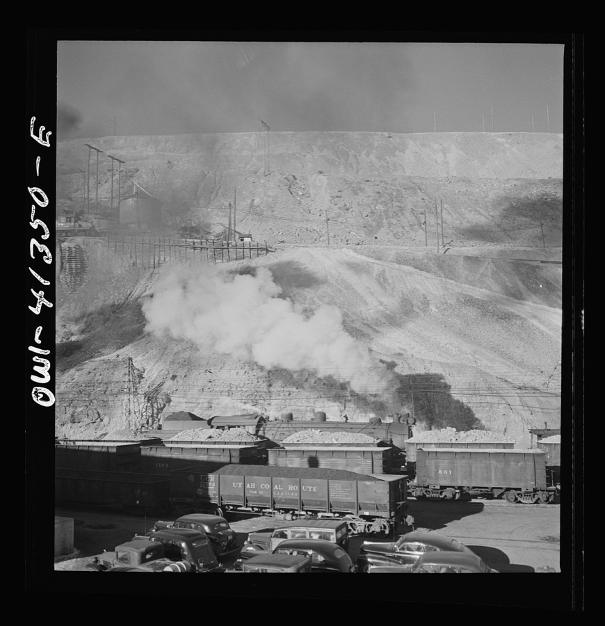
Surveyed structures

58 structures

The vanished settlements of Salt Lake County, the places these records name that are no longer on the map.
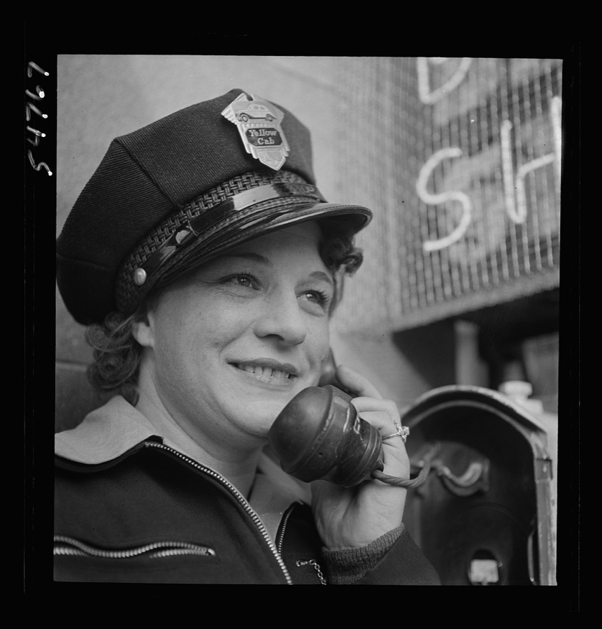
Provenance

  • Topographic sheets. USGS Historical Topographic Map Collection, county index, measured from the bulk metadata.
  • Fire insurance maps. Library of Congress Sanborn collection, faceted to this county.
  • Photographs. Each place queried individually against the Library of Congress Prints and Photographs search.
  • Wildfire. Short, Karen C. 2022. Spatial wildfire occurrence data for the United States, 1992-2020 [FPA_FOD_20221014]. 6th Edition. Fort Collins, CO: Forest Service Research Data Archive. https://doi.org/10.2737/RDS-2013-0009.6 Collected with United States Government funding and usable without additional permissions or fees.
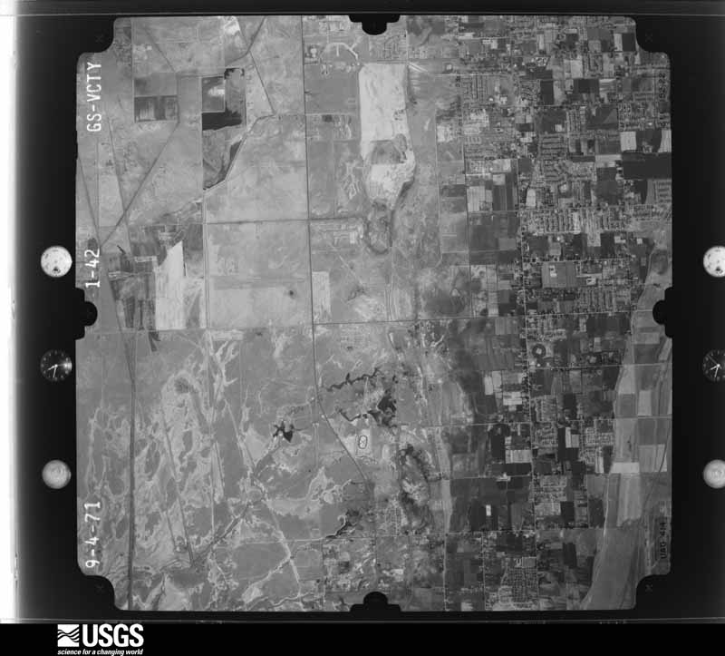
  • Mines and quarries. USGS Mineral Resources Data System (MRDS) https://mrdata.usgs.gov/mrds/ A work of the United States government, no copyright under 17 U.S.C. 105.
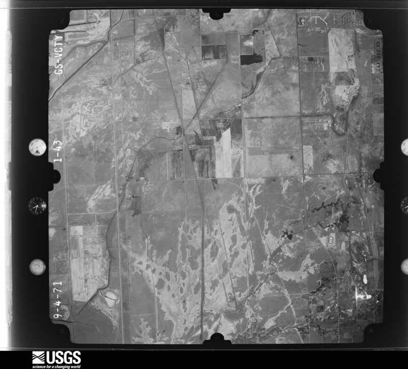
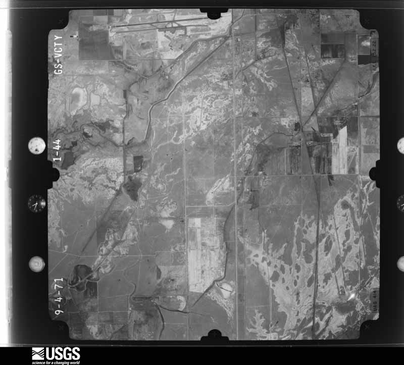
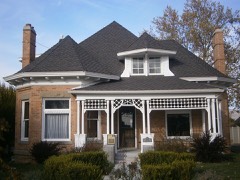
  • Storms. NOAA National Centers for Environmental Information, Storm Events Database https://www.ncei.noaa.gov/stormevents/ A work of the United States government, no copyright under 17 U.S.C. 105. Narratives are quoted verbatim from the National Weather Service report and are not edited or summarised.