 Block
Hite, Washington
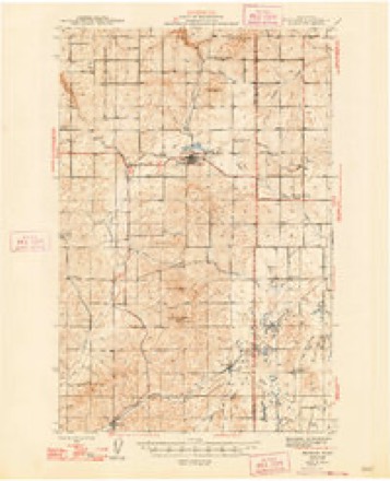
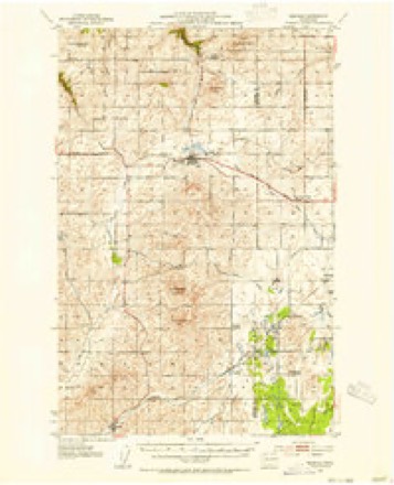
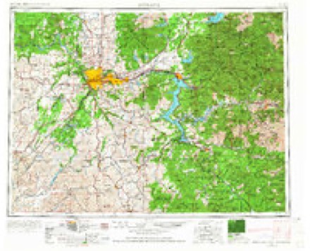
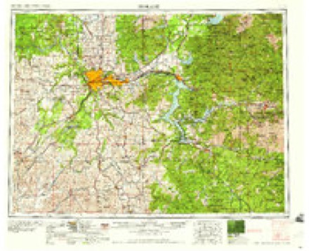
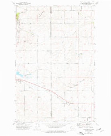
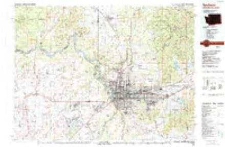
9 topographic sheets cover this place, the earliest surveyed in 1945 and the latest in 1987. It stands in the Airway Heights census division. It lies in ZIP code area 99029. The Survey maps it on the Reardan East quadrangle.
Topographic sheets covering this place
6 surveys from 9 printed sheetsMatched by testing this settlement's coordinate against the published boundary of every sheet in the United States Geological Survey's historical collection. Each opens the scanned sheet at the Survey.
- 1945 USGS Reardan quadrangle1:62500, 2 printings
- 1953 USGS Reardan quadrangle1:62500, 2 printings
- 1955 USGS Spokane quadrangle1:250000, 2 printings
- 1958 USGS Spokane quadrangle1:250000
- 1973 USGS Reardan East quadrangle1:24000
- 1987 USGS Spokane quadrangle1:100000
Fires near this place
57 since 1992Regional context, not property-specific evidence. The federal wildfire occurrence database lists 57 fires within 5 miles of Hite between 1992 and 2020, burning about 222 acres in total. 8 started naturally. 1 was recorded as arson. Distance is straight-line from the map coordinates, so a fire counted here may appear on a neighbouring settlement's page as well.
| Reported cause | Fires |
|---|---|
| Missing data/not specified/undetermined | 11 |
| Debris and open burning | 10 |
| Misuse of fire by a minor | 9 |
| Natural | 8 |
| Recreation and ceremony | 7 |
| Power generation/transmission/distribution | 4 |
| Railroad operations and maintenance | 2 |
| Fireworks | 2 |
| Other causes | 2 |
| Equipment and vehicle use | 1 |
| Arson/incendiarism | 1 |
The most recent of them, most recent first, with the day each was reported and the service that recorded it.
| Date | Cause | Size | Reported by | Name on the report |
|---|---|---|---|---|
| 2 September 2010 | Recreation and ceremony | under an acre | Washington State Department of Natural Resources Headquarters | MCFARLANE |
| 18 September 1994 | Misuse of fire by a minor | 3.0 acres | Washington State Department of Natural Resources Headquarters | not named |
| 15 September 2013 | Power generation/transmission/distribution | under an acre | Washington State Department of Natural Resources Headquarters | ESPANOLA DINNER |
| 13 September 2013 | Debris and open burning | under an acre | Washington State Department of Natural Resources Headquarters | JACOB |
| 10 September 2006 | Missing data/not specified/undetermined | under an acre | Washington State Department of Natural Resources Headquarters | not named |
| 6 August 2016 | Missing data/not specified/undetermined | 35 acres | Washington State Department of Natural Resources Headquarters | HALLETT |
| 5 August 2020 | Missing data/not specified/undetermined | under an acre | Spokane County Fire Districts | JACOBS |
| 3 August 2012 | Misuse of fire by a minor | under an acre | Washington State Department of Natural Resources Headquarters | WRONG NAME MCFARLANE |
Settlements close enough to share some of these fires:
Mines and quarries near this place
8 within 5 milesRegional context, not property-specific evidence. The federal mineral resources record lists 8 workings within 5 miles of Hite: 8 past producers. None of them still produces. What was taken out: Sand and Gravel, Construction. Distance is straight-line from the map coordinates, so a quarry counted here may appear on a neighbouring settlement's page as well.
| Where | Site | Commodity | Status | Recorded |
|---|---|---|---|---|
| Deep Creek Pit | Sand and Gravel, Construction | Past Producer | ||
| Galena Pit | Sand and Gravel, Construction | Past Producer | ||
| Gravel Pit | Sand and Gravel, Construction | Past Producer | ||
| Hite Pit | Sand and Gravel, Construction | Past Producer | ||
| Unnamed Pit | Sand and Gravel, Construction | Past Producer | ||
| Unnamed Pit | Sand and Gravel, Construction | Past Producer | ||
| Unnamed Pit | Sand and Gravel, Construction | Past Producer | ||
| Unnamed Pit | Sand and Gravel, Construction | Past Producer |
Storms near this place
3 since 2014Regional context, not property-specific evidence. The National Weather Service names Hite in 3 storm reports between 2014 and 2017: 2 flood, 1 thunderstorm wind. No death or injury is recorded in these reports. Each account below is quoted exactly as the forecast office filed it, from the NOAA Storm Events Database, and each date opens the federal record of that event.
| When | Event | Place named | Harm | What the report says |
|---|---|---|---|---|
| March 2017 | Flood | Hite | $8,000,000 | A series of rain storms and low elevation snow melt caused saturated soil conditions through out Spokane County through the second half of March. These conditions lead to numerous small stream and field flooding issues through out the county. Homes and buildings along the shore of Williams Lake and Newman Lake experienced flooding from high lake levels. In Mead a hillside began slowly sliding in a residential area necessitating the evacuation of two homes. Spokane County was included in a State of Emergency declaration issued by the state Governor. ||Twenty two roads in the county were washed out or at least temporarily closed due to flooding. |
| August 2014 | Thunderstorm Wind | Hite | $2,000,000 | Numerous trees were downed or snapped across Northern Spokane County including the communities of Deer Park, Chattaroy, Colbert, Mead, Nine Miles Falls, and Spokane north of Interstate 90 due to a west to east tracking outflow boundary. A second cell developed along the boundary producing quarter size hail over Five Mile Prairie and sent an outflow boundary north to south across the South Hill and Spokane Valley roughly thirty minutes after the initial gust front went through. A NWS employee stated winds associated with this boundary were less than 25 mph but witnessed a tree fall down. Due to its isolated nature, it is assumed that this tree was damaged from a storm two weeks earlier. Significant damage was observed from northwestern Spokane to Chattaroy to the Pend Oreille County border. The Riverside Mobile Home Park was hit hard for a second time in as many weeks and forced to evacuate. Numerous trees fell on homes. One home on North Echo Road suffered major structural damage. The nearby Eloika Lake Resort lost eight trees in the storm. The trees damaged a home, RVs, and vehicle. The resort which lost 48 trees in a storm ten days earlier was forced to shut down for the remainder of the summer. |
| April 2017 | Flood | Hite | $500,000 | Saturated soil conditions brought about by spring snow melt in March and periodic heavy rain in March and early April resulted in areas of small stream, field and basement flooding over parts of Spokane County. Numerous secondary roads were closed due to flooding on the roads and damage to the road beds. |
Nearest settlements
The eight closest, with where each one stands in the county. Distances are straight-line, computed from the Geographic Names Information System coordinates.
| Map | Place | Distance | Sheets |
|---|---|---|---|
| Deep Creek | 3.8 miles | 12 | |
| Espanola | 4.6 miles | 13 | |
| Fairchild | 6.2 miles | 12 | |
| Medical Lake | 8.1 miles | 13 | |
| Lakeland Village | 8.7 miles | 13 | |
| Airway Heights | 9.9 miles | 12 | |
| Silver Lake | 10.3 miles | 13 | |
| Lyons | 10.8 miles | 12 |
Provenance
This settlement is recorded in the Geographic Names Information System as feature 1511036. The sheet list is computed by point-in-boundary test against the United States Geological Survey's historical topographic inventory. Both are works of the United States government and carry no copyright under 17 U.S.C. 105.
Wildfire. Short, Karen C. 2022. Spatial wildfire occurrence data for the United States, 1992-2020 [FPA_FOD_20221014]. 6th Edition. Fort Collins, CO: Forest Service Research Data Archive. https://doi.org/10.2737/RDS-2013-0009.6 Collected with United States Government funding and usable without additional permissions or fees.
Mines and quarries. USGS Mineral Resources Data System (MRDS) https://mrdata.usgs.gov/mrds/ A work of the United States government, no copyright under 17 U.S.C. 105.
Storms. NOAA National Centers for Environmental Information, Storm Events Database https://www.ncei.noaa.gov/stormevents/ A work of the United States government, no copyright under 17 U.S.C. 105. Narratives are quoted verbatim from the National Weather Service report and are not edited or summarised.