 Block
Ashippun, Wisconsin
18 topographic sheets cover this place, the earliest surveyed in 1892 and the latest in 1991. It stands in Ashippun town. It lies in ZIP code area 53003. It stands on Davy Creek. The Survey maps it on the Ixonia quadrangle.
On record in Ashippun
Buildings and businesses the archive holds for this place. Each opens its own page, with the source record it came from.
On the National Register 1 record
- Meissner Storelisted 2024
Topographic sheets covering this place
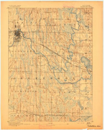
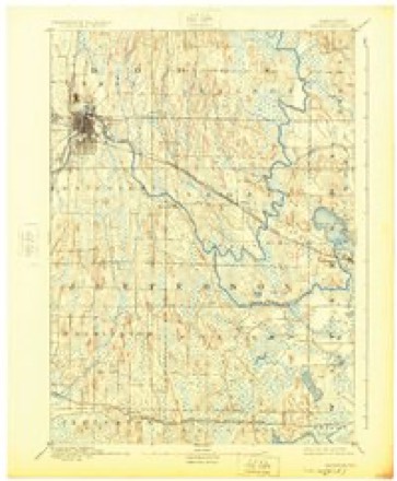
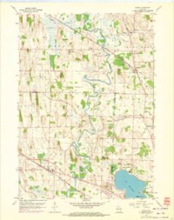
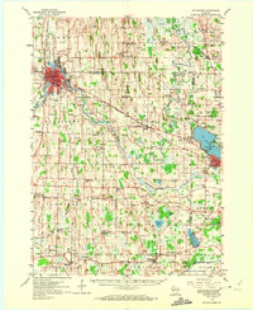
8 surveys from 18 printed sheetsMatched by testing this settlement's coordinate against the published boundary of every sheet in the United States Geological Survey's historical collection. Each opens the scanned sheet at the Survey.
- 1892 USGS Watertown quadrangle1:62500
- 1894 USGS Watertown quadrangle1:62500, 5 printings
- 1957 USGS Madison quadrangle1:250000, 3 printings
- 1959 USGS Ixonia quadrangle1:24000, 2 printings
- 1959 USGS Watertown quadrangle1:62500, 3 printings
- 1960 USGS Madison quadrangle1:250000, 2 printings
- 1984 USGS Oconomowoc quadrangle1:100000
- 1991 USGS Oconomowoc quadrangle1:100000


In the county-history sources
10,793 words on this townshipThe History of Dodge County, Wisconsin, Containing ... Its Early Settlement, Growth ... an Extensive and Minute Sketch of Its Cities ... War Record, Biographical Sketches, published 1880 names this settlement in its chapter on Ashippun Town. These are the passages that mention it, exactly as the scans read.
J. ST. 0''BRIBN, M. I>., physician and surgeon ; born in West Chester, Penn., Sept. 15, 18U8; Dr. O'Brien entered Notre Dame College in 1856 and graduated in 1859; commenced the study of medicine at the Rush Medical College in 1861 ; eminent among the profession there at that time Prof. Brainard, James Adams Allen, Prof J. W. Freer, Prof Ray; Dr. O'Brien, after a thorough course of study, commenced the practice of medicine in Plymouth, Sheboygan Co., Wis., and, in 1878, came to Waupun ; he is a member of the State Medical Society and a prominent member of the American Medical Association ; also a member of the County Medical Society ; he has a large and constantly increasing practice. Dr. O'Brien married, in May, 186G, Anna J. Smith, daughter of Col. H. N. Smith, late Warden of the Wisconsin State Prison and who for many years was a prominent Democratic politician of the State; the children are Daisy, born July 4, 1869 ; Sarah, born Oct. 24, 1872; Harold N., born in April, 1877. The Doctor is a man of genial temperament, and, although his valuable time is mostly occupied with his studies and practice, he occasionally finds an opportunity to follow the sports of the field, and game from mud-hens to deer have to suffer.
Passage source: The History of Dodge County, Wisconsin, Containing ... Its Early Settlement, Growth ... an Extensive and Minute Sketch of Its Cities ... War Record, Biographical Sketches, published 1880.
K. li. OLIVKR, attorney; born in Scotland, May 4, 18.34; son of Theo. Oliver, a hardware merchant ; he came to the town of Alto, Wis., in 1848 ; came to Waupun and engaged in the manufacture of plows; was successfully engaged till 1858, when he went into the hardware business and carried it on till the time of his death, Dec. 29. 1868. Robert enlisted in Co. D, 3d W. V. I; was in all the battles that that regiment engaged in; was appointed Sergeant Major after the battle of Antietam on account of bravery ; returned to Waupun in 1864; commenced the study of law in 1865 and now has a successful practice. Married Grace Sampey, daughter of Theo. Sampey ; have had three children - Ada Belle, Gertie and Grace.
Passage source: The History of Dodge County, Wisconsin, Containing ... Its Early Settlement, Growth ... an Extensive and Minute Sketch of Its Cities ... War Record, Biographical Sketches, published 1880.
Methodist preacher of celebrity; he married, Oct. 11, 1824, Miss Cliarlotte Hobbs, of St. Peter's Isle, Thanite, Eug. ; she was born May U, 1798; the family came to America in 1830, and Mr. John Padghatn engaged in farming, which he carried on successfully till the time of his death; his wile is now living in Randolph, Wis., at the good old age of 81 ; she has in her possession some of a celebrated brand of flour that her husband made, the week they were married, in the old Xorthwood Windmill at St. Lawrence, I'lng. Edward A. Padgham came to Waupun in 1861 to take charge of Ewen's Priaon City Itim office; he shortly after enteredCo. K, lOth W. V. I.; was in all the engagements with his regiment; served his time faithfully, and was mustered out Nov. 3, 1864, after having served three years and three months; returned to Waupun, and married, Jan. 3. 1865, Miss Addie Moore, daughter of Mills Moore; have had one child - Jessie A., born Dec. 'I'J, 1872. In 1865, Mr. Padgham was ongiiged with Phelps Moore, and then with Sykes & Nichols; then accepted a position with Mr. Van Valkensburg, and, shortly after, went to work for I. V. Preston, druggist; in 1867, Mr. Padgham loaded all his worldly po-sessions on wagons, and, with ox-teams, took his march with his family for the great West; they traveled many hundred miles, and suffered some hardships; after getting into Iowa, and not finding the prospect pleasing, they retraced their way to Waupun ; Mr. Padgham is now successfully engaged in business in Waupun; has one of the neatest and handsomest stores in the city, and carries a very complete and well-assorted stock of groceries, crockery, etc. Himself and wife are members of the Congregational Church. ,,,
Passage source: The History of Dodge County, Wisconsin, Containing ... Its Early Settlement, Growth ... an Extensive and Minute Sketch of Its Cities ... War Record, Biographical Sketches, published 1880.
Machine-read from a century-old scan, so expect the errors a machine makes: misspelled names, dropped words, stray characters.
Read the whole chapter on Ashippun Town - it names this place 25 more 25 times.
Fires near this place
15 since 2018Regional context, not property-specific evidence. The federal wildfire occurrence database lists 15 fires within 5 miles of Ashippun between 2018 and 2020, burning about 113 acres in total. None started naturally. None was recorded as arson. Distance is straight-line from the map coordinates, so a fire counted here may appear on a neighbouring settlement's page as well.
| Reported cause | Fires |
|---|---|
| Debris and open burning | 9 |
| Missing data/not specified/undetermined | 5 |
| Equipment and vehicle use | 1 |
The most recent of them, most recent first, with the day each was reported and the service that recorded it.
| Date | Cause | Size | Reported by | Name on the report |
|---|---|---|---|---|
| 12 June 2019 | Debris and open burning | under an acre | Wisconsin Department of Natural Resources | 1923 |
| 1 May 2018 | Debris and open burning | 4.0 acres | Wisconsin Department of Natural Resources | 1831 |
| 8 April 2018 | Debris and open burning | under an acre | Wisconsin Department of Natural Resources | 20 |
| 8 April 2018 | Debris and open burning | under an acre | Wisconsin Department of Natural Resources | 1817 |
| 7 April 2019 | Debris and open burning | 3.0 acres | Wisconsin Department of Natural Resources | 11 |
| 30 April 2018 | Equipment and vehicle use | under an acre | Wisconsin Department of Natural Resources | 1800131 |
| 29 April 2018 | Missing data/not specified/undetermined | 4.0 acres | Wisconsin Department of Natural Resources | 1825 |
| 24 April 2018 | Debris and open burning | under an acre | Wisconsin Department of Natural Resources | 22 |
Settlements close enough to share some of these fires:
Mines and quarries near this place
3 within 5 milesRegional context, not property-specific evidence. The federal mineral resources record lists 3 workings within 5 miles of Ashippun: 2 past producers, 1 producer. 1 still produces. What was taken out: Sand and Gravel, Construction, Clay. Distance is straight-line from the map coordinates, so a quarry counted here may appear on a neighbouring settlement's page as well.
| Where | Site | Commodity | Status | Recorded |
|---|---|---|---|---|
| Oakfield Brick Pit | Clay | Producer | ||
| Fredericks Pit | Sand and Gravel, Construction | Past Producer | ||
| Multhauf Pit | Sand and Gravel, Construction | Past Producer |
Storms near this place
10 since 2004Regional context, not property-specific evidence. The National Weather Service names Ashippun in 10 storm reports between 2004 and 2025: 5 thunderstorm wind, 3 hail, 1 lightning, 1 flood. No death or injury is recorded in these reports. Each account below is quoted exactly as the forecast office filed it, from the NOAA Storm Events Database, and each date opens the federal record of that event.
| When | Event | Place named | Harm | What the report says |
|---|---|---|---|---|
| April 2006 | Hail | Ashippun | $3,170,000 | no account filed |
| August 2007 | Thunderstorm Wind | Ashippun | $25,000 | Powerful thunderstorm wind gusts up to 56 knots (65 mph) toppled several large trees and damaged some power-lines. |
| July 2020 | Lightning | Ashippun | $15,000 | A house was struck by lightning with a fire affecting the roof and attic. |
| May 2025 | Hail | Ashippun | $7,000 | Hail sizes ranging from 0.5 inch to larger than 2 inches in diameter and lasted about 20 minutes. Wind was generally from the west and south with strong gusts. Damage to vinyl siding and windows. |
| June 2019 | Thunderstorm Wind | Ashippun | $2,000 | Some siding blown off a house in Ashippun. |
| March 2004 | Thunderstorm Wind | Ashippun | $2,000 | no account filed |
| June 2024 | Flood | Ashippun | $1,000 | Davidson Rd., Harvey Rd., Indian Lane, Follette Rd., Highview Rd., Upham Rd., and Monroe Rd. are closed due to high water. |
| June 2022 | Thunderstorm Wind | Ashippun | - | Small hail was observed during a measured wind gust of 67 MPH. |
| May 2018 | Hail | Ashippun | - | A picture was provided. |
| June 2005 | Thunderstorm Wind | Ashippun | - | no account filed |
Nearest settlements
The eight closest, with where each one stands in the county. Distances are straight-line, computed from the Geographic Names Information System coordinates.
| Map | Place | Distance | Sheets |
|---|---|---|---|
| Old Ashippun | 0.9 miles | 18 | |
| Sugar Island | 3.5 miles | 18 | |
| Alderley | 3.5 miles | 22 | |
| Old Lebanon | 6.1 miles | 19 | |
| Lebanon | 6.6 miles | 9 | |
| Neosho | 6.8 miles | 9 | |
| Saylesville | 7.3 miles | 15 | |
| Rubicon | 9.4 miles | 15 |
Provenance
This settlement is recorded in the Geographic Names Information System as feature 1560978. The sheet list is computed by point-in-boundary test against the United States Geological Survey's historical topographic inventory. Both are works of the United States government and carry no copyright under 17 U.S.C. 105.
Wildfire. Short, Karen C. 2022. Spatial wildfire occurrence data for the United States, 1992-2020 [FPA_FOD_20221014]. 6th Edition. Fort Collins, CO: Forest Service Research Data Archive. https://doi.org/10.2737/RDS-2013-0009.6 Collected with United States Government funding and usable without additional permissions or fees.
Mines and quarries. USGS Mineral Resources Data System (MRDS) https://mrdata.usgs.gov/mrds/ A work of the United States government, no copyright under 17 U.S.C. 105.
Storms. NOAA National Centers for Environmental Information, Storm Events Database https://www.ncei.noaa.gov/stormevents/ A work of the United States government, no copyright under 17 U.S.C. 105. Narratives are quoted verbatim from the National Weather Service report and are not edited or summarised.