 Block
Augusta, Wisconsin
12 topographic sheets cover this place, the earliest surveyed in 1935 and the latest in 1985. It stands in Augusta City. It lies in ZIP code area 54722. It stands on First Trestle Creek. The Survey maps it on the Augusta East quadrangle. 1,567 people lived here at the 2020 count. It stands 961 feet above sea level.
On record in Augusta
Buildings and businesses the archive holds for this place. Each opens its own page, with the source record it came from.
On the National Register 1 record
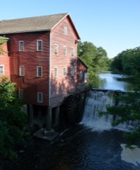 Dells Milllisted 1974
Population over time
2 figuresAugusta grew from 1,550 to 1,567 between 2010 and 2020. These are the recorded population figures Wikidata holds for this place, reached through the Geographic Names Information System number this page is keyed on rather than by name, so they belong to this place and not to another of the same name. Most are census counts, but not all are: an early figure may be a founding or settlement estimate, and an estimate published within five years of a census is left out. The change column is computed, and is left blank where more than 20 years separate a figure from the one before it, because a gap that long is not a change between two counts.
| Year | People | Change |
|---|---|---|
| 2010 | 1,550 | |
| 2020 | 1,567 | +17 (+1%) |
Topographic sheets covering this place
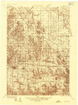
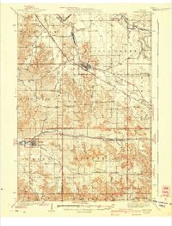
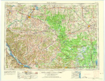
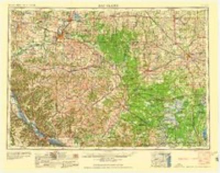
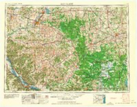
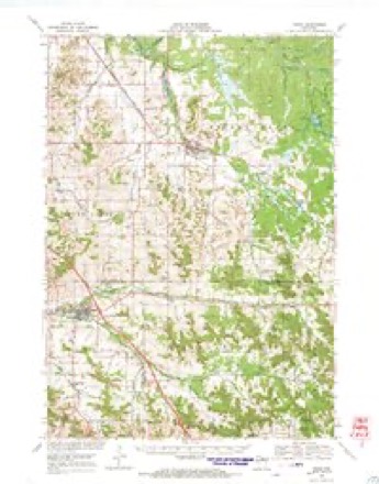
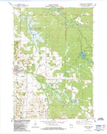
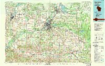
8 surveys from 12 printed sheetsMatched by testing this settlement's coordinate against the published boundary of every sheet in the United States Geological Survey's historical collection. Each opens the scanned sheet at the Survey.
- 1935 USGS Osseo quadrangle1:48000
- 1940 USGS Osseo quadrangle1:62500
- 1953 USGS Eau Claire quadrangle1:250000, 4 printings
- 1958 USGS Eau Claire quadrangle1:250000
- 1964 USGS Eau Claire quadrangle1:250000
- 1968 USGS Osseo quadrangle1:62500
- 1984 USGS Augusta East quadrangle1:24000
- 1985 USGS Eau Claire quadrangle1:100000, 2 printings
In the county-history sources
7,191 words on this townshipHistory of Eau Claire County, Wisconsin, Past and Present; Including an Account of the Cities, Towns and Villages of the County, published 1914 names this settlement in its chapter on Augusta City. These are the passages that mention it, exactly as the scans read.
Then the mighty glaciers came down from the north and by their resistless force plowed the mountains down and filled tlie valleys, piling up the rubbish of gravel, clay and sand. And the sun's rays came and melted the glaciers and the waters wove their way across the prospect, seeking the mother sea. A portion of the island thus first formed was the northern part of Wisconsin and, mayhap, one of the streams thus formed was Bridge creek, and upon either bank thereof was Augusta, nameless then, and trackless and homeless, but there, waiting for the coming of man.
Passage source: History of Eau Claire County, Wisconsin, Past and Present; Including an Account of the Cities, Towns and Villages of the County, published 1914.
Eau Claire county was organized in 1856. At Eau Claire there was already quite a considerable settlement in nearby localities. Farms had been opened up. Supplies for Eau Claire were brought by boat up the Chippewa river in the open season, but in winter they liad to be brought overland by team. Sparta, in Monroe county, was the nearest railway station, and it was from that point that the necessary supplies were hauled over what became known as the ' ' old Sparta road. ' ' This road from Sparta came through Jackson county and entered Eau Claire county south of Augusta at the old Beef river station and continued through what are now the towns of Clear Creek and Washington to Eau Claire. Now all of the foregoing has been preliminary to the purpose of the present writing. To the north of the old Sparta road was a beautiful valley through which flowed the clear waters of a fine stream to be known thereafter as Bridge creek. In this beautiful valley is now located the city of Augusta, the history of which is about to be related.
Passage source: History of Eau Claire County, Wisconsin, Past and Present; Including an Account of the Cities, Towns and Villages of the County, published 1914.
The town of Bridge Creek, in which the city of Augusta is situated, consists now of three townships and has an area of 108 square miles. The stream from which the town derives its name flows through the town in a northwesterly direction and marks a division line between two sections of country that are materially different in soil, products and character.
Passage source: History of Eau Claire County, Wisconsin, Past and Present; Including an Account of the Cities, Towns and Villages of the County, published 1914.
Machine-read from a century-old scan, so expect the errors a machine makes: misspelled names, dropped words, stray characters.
Read the whole chapter on Augusta City - it names this place 18 more 18 times.
Fires near this place
57 since 1992Regional context, not property-specific evidence. The federal wildfire occurrence database lists 57 fires within 5 miles of Augusta between 1992 and 2020, burning about 77 acres in total. 1 started naturally. 12 were recorded as arson. Distance is straight-line from the map coordinates, so a fire counted here may appear on a neighbouring settlement's page as well.
| Reported cause | Fires |
|---|---|
| Debris and open burning | 20 |
| Arson/incendiarism | 12 |
| Missing data/not specified/undetermined | 9 |
| Equipment and vehicle use | 7 |
| Other causes | 3 |
| Recreation and ceremony | 2 |
| Railroad operations and maintenance | 2 |
| Natural | 1 |
| Smoking | 1 |
The most recent of them, most recent first, with the day each was reported and the service that recorded it.
| Date | Cause | Size | Reported by | Name on the report |
|---|---|---|---|---|
| 5 September 2019 | Debris and open burning | under an acre | Wisconsin Department of Natural Resources | F19-94 |
| 14 September 2017 | Debris and open burning | under an acre | Wisconsin Department of Natural Resources | BIG RED FIRE |
| 13 September 1998 | Missing data/not specified/undetermined | under an acre | Wisconsin Department of Natural Resources | not named |
| 3 August 2007 | Recreation and ceremony | under an acre | Wisconsin Department of Natural Resources | not named |
| 13 August 2007 | Natural | under an acre | Wisconsin Department of Natural Resources | not named |
| 4 July 1992 | Equipment and vehicle use | under an acre | Wisconsin Department of Natural Resources | not named |
| 12 July 2006 | Debris and open burning | under an acre | Wisconsin Department of Natural Resources | not named |
| 8 June 1995 | Equipment and vehicle use | under an acre | Wisconsin Department of Natural Resources | not named |
Settlements close enough to share some of these fires:
Mines and quarries near this place
1 within 5 milesRegional context, not property-specific evidence. The federal mineral resources record lists 1 working within 5 miles of Augusta: 1 past producer. None of them still produces. What was taken out: Stone, Crushed/Broken. Distance is straight-line from the map coordinates, so a quarry counted here may appear on a neighbouring settlement's page as well.
| Where | Site | Commodity | Status | Recorded |
|---|---|---|---|---|
| Strader Shale Quarry | Stone, Crushed/Broken | Past Producer |
Storms near this place
27 since 1996Regional context, not property-specific evidence. The National Weather Service names Augusta in 27 storm reports between 1996 and 2026: 12 thunderstorm wind, 8 hail, 5 tornado, 2 heavy rain. No death or injury is recorded in these reports. Each account below is quoted exactly as the forecast office filed it, from the NOAA Storm Events Database, and each date opens the federal record of that event.
| When | Event | Place named | Harm | What the report says |
|---|---|---|---|---|
| April 2011 | Tornado (EF1) | Augusta | $250,000 | An EF-1 tornado, with maximum wind speeds of 90 to 100 mph, occurred along a path from northwest of Augusta to north of Augusta, Wisconsin. Numerous trees and power poles were snapped, along with an outbuilding destroyed, and three other outbuildings significantly damaged. |
| April 2011 | Tornado (EF1) | Augusta | $200,000 | An EF-1 tornado, with maximum wind speeds of 95 to 105 mph occurred from approximately 5 miles southwest of Augusta, to 3.5 miles southwest of Augusta, Wisconsin. Two farmsteads were directly impacted with severe tree damage around the homes. One farmstead had their garage completely destroyed along with a barn heavily damaged. |
| June 2001 | Thunderstorm Wind | Augusta | $15,000 | Numerous trees down, including a few on vehicles |
| July 2013 | Tornado (EF0) | Augusta | $5,000 | A brief tornado touched down near the intersection of County Road VV and Senske Road, approximately 4.3 miles west-southwest of Augusta. The tornado only lasted a minute causing damage to apple trees, large oak trees and a nearby corn field as it moved southeast for approximately 1/4 mile. A storm chaser took video of the tornado. |
| April 2025 | Tornado (EF0) | Augusta | - | This tornado took part of the roof off of a barn. It also damaged a barn door and broke several trees. The maximum estimated wind speed was 80 mph. |
| May 2024 | Tornado (EF1) | Augusta | - | Hundreds of trees, possibly several thousand, were uprooted or broken by the tornado. Some landed on houses, sheds and vehicles, especially along the southeast edge of Lake Eau Claire, where many homes were located. A farm was hit near the end of the tornado. The ending point was determined via Sheriff's Office drone video. |
| June 2020 | Heavy Rain | Augusta | - | A measured rainfall report of 2.87 inches occurred over the past 12 hours near Augusta. |
| June 2020 | Heavy Rain | Augusta | - | A measured rainfall report of 3.33 inches occurred over the past 12 hours northwest of Augusta. |
| July 2020 | Thunderstorm Wind | Augusta | - | Several trees and large tree branches were blown down on the northwest part of Augusta. A few trees also landed on power lines elsewhere in Augusta. |
| July 2020 | Thunderstorm Wind | Augusta | - | A couple large tree branches, including one that landed on a power line, fell down near Augusta. |
| September 2016 | Thunderstorm Wind | Augusta | - | A few trees were blown down near Highway 27 and Solie Road near Augusta. |
| July 2015 | Thunderstorm Wind | Augusta | - | Power lines were blown down in Augusta. |
| June 2013 | Thunderstorm Wind | Augusta | - | A large tree was blown down, blocking County Road R south of Augusta, Wisconsin. |
| April 2011 | Thunderstorm Wind | Augusta | - | This was measured by the Fire Weather RAWS site. |
| June 1999 | Thunderstorm Wind | Augusta | - | Trees down. Estimated windspeed. |
| June 1999 | Thunderstorm Wind | Augusta | - | Estimated windspeed. |
| June 1997 | Thunderstorm Wind | Augusta | - | Trees down, one falling on house. Estimated windspeed. |
| June 1997 | Thunderstorm Wind | Augusta | - | Farm elevator overturned. Silo top knocked off. Estimated windspeed. |
| April 2026 | Hail | Augusta | - | no account filed |
| June 2014 | Hail | Augusta | - | no account filed |
| April 2011 | Hail | Augusta | - | no account filed |
| May 2008 | Hail | Augusta | - | no account filed |
| June 2006 | Hail | Augusta | - | no account filed |
| May 2004 | Hail | Augusta | - | no account filed |
| April 2002 | Hail | Augusta | - | no account filed |
| June 2001 | Hail | Augusta | - | no account filed |
| May 1996 | Thunderstorm Wind | Augusta | - | no account filed |
Nearest settlements
The eight closest, with where each one stands in the county. Distances are straight-line, computed from the Geographic Names Information System coordinates.
| Map | Place | Distance | Sheets |
|---|---|---|---|
| Rodell | 4.5 miles | 12 | |
| Hay Creek | 4.7 miles | 12 | |
| Hale Corner | 8.4 miles | 12 | |
| Fairchild | 10.0 miles | 12 | |
| Fall Creek | 10.1 miles | 14 | |
| Ludington | 10.3 miles | 11 | |
| Foster | 10.5 miles | 12 | |
| Wilson | 11.4 miles | 11 |
Elsewhere
Matched on this settlement's Geographic Names Information System number rather than its name, so it cannot be a different place of the same name in another state.
| Wikipedia article on Augusta | An encyclopaedic summary. Its text is share-alike, so it is linked here rather than copied. |
| Wikidata item Q1569576 | The structured record the population and elevation above come from. Public domain (CC0). |
Provenance
This settlement is recorded in the Geographic Names Information System as feature 1561013. The sheet list is computed by point-in-boundary test against the United States Geological Survey's historical topographic inventory. Both are works of the United States government and carry no copyright under 17 U.S.C. 105.
Wildfire. Short, Karen C. 2022. Spatial wildfire occurrence data for the United States, 1992-2020 [FPA_FOD_20221014]. 6th Edition. Fort Collins, CO: Forest Service Research Data Archive. https://doi.org/10.2737/RDS-2013-0009.6 Collected with United States Government funding and usable without additional permissions or fees.
Mines and quarries. USGS Mineral Resources Data System (MRDS) https://mrdata.usgs.gov/mrds/ A work of the United States government, no copyright under 17 U.S.C. 105.
Storms. NOAA National Centers for Environmental Information, Storm Events Database https://www.ncei.noaa.gov/stormevents/ A work of the United States government, no copyright under 17 U.S.C. 105. Narratives are quoted verbatim from the National Weather Service report and are not edited or summarised.