 Block
Baileys Harbor, Wisconsin
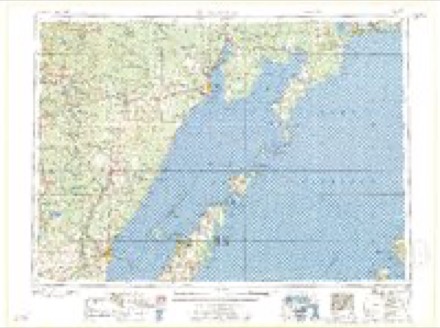
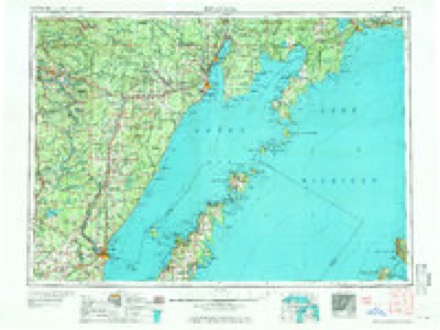
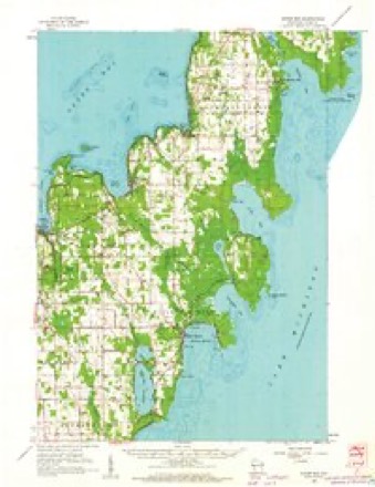
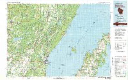
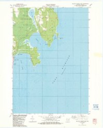
8 topographic sheets cover this place, the earliest surveyed in 1954 and the latest in 1982. It stands in Baileys Harbor town. It lies in ZIP code area 54202. The Survey maps it on the Baileys Harbor East quadrangle. 334 people lived here at the 2020 count. It stands 732 feet above sea level.
On record in Baileys Harbor
Buildings and businesses the archive holds for this place. Each opens its own page, with the source record it came from.
On the National Register 10 records
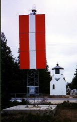 Baileys Harbor Range Lightlisted 1989
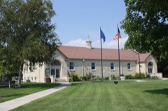 Baileys Harbor Town Hall-McArdle Librarylisted 2000
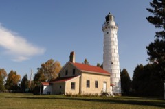 Cana Island Lighthouselisted 1976
 CHRISTINA NILSSON (shipwreck)listed 2003
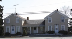 Globe Hotellisted 1982
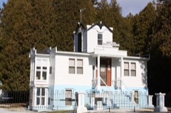 Albert Zahn Houselisted 2000
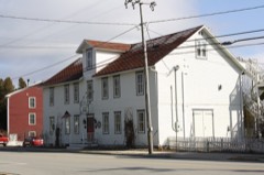 August Zahn Balcksmith Shop and Houselisted 2000
- EMILIN (schooner) Shipwrecklisted 2023
- PEORIA Shipwreck (Schooner)listed 2024
- William Zachow Farmsteadlisted 1997
Population over time
2 figuresBaileys Harbor grew from 257 to 334 between 2010 and 2020. These are the recorded population figures Wikidata holds for this place, reached through the Geographic Names Information System number this page is keyed on rather than by name, so they belong to this place and not to another of the same name. Most are census counts, but not all are: an early figure may be a founding or settlement estimate, and an estimate published within five years of a census is left out. The change column is computed, and is left blank where more than 20 years separate a figure from the one before it, because a gap that long is not a change between two counts.
| Year | People | Change |
|---|---|---|
| 2010 | 257 | |
| 2020 | 334 | +77 (+30%) |
Topographic sheets covering this place
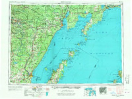
6 surveys from 8 printed sheetsMatched by testing this settlement's coordinate against the published boundary of every sheet in the United States Geological Survey's historical collection. Each opens the scanned sheet at the Survey.
- 1954 USGS Escanaba quadrangle1:250000, 2 printings
- 1957 USGS Escanaba quadrangle1:250000
- 1958 USGS Escanaba quadrangle1:250000
- 1960 USGS Sister Bay quadrangle1:62500, 2 printings
- 1981 USGS Marinette quadrangle1:100000
- 1982 USGS Baileys Harbor East quadrangle1:24000
In the county-history sources
5,512 words on this townshipHistory Of Door County Wisconsin The County Beautiful, published 1917 names this settlement in its chapter on Baileys Harbor Town. These are the passages that mention it, exactly as the scans read.
Baileys Harbor enjoys the distinction of being the first place in Door County that was selected for a village site. Not only this, but it was officially selected as the county seat several years before Door County's actual organization was effected. The genesis of this early Baileys Harbor boom is as follows:
Passage source: History Of Door County Wisconsin The County Beautiful, published 1917.
Elated. with his discovery Captain Bailey took with him several cords of building stone and firewood and proceeded on his way to Milwaukee. Here he gave such an enthusiastic account of the harbor he had discovered that among other captains of the line "Baileys Harbor" at once became a famous place. The owner of the line, Mr. Alanson Sweet, also became very much interested in the samples of stone and wood that Captain Bailey had brought with him. Mr. Sweet was doing an extensive business in the forwarding and commission business and owned about a dozen large vessels. These plied between Milwaukee and Buffalo. On the way down there were always large cargoes of grain to be carried but on the way up the freight was scant and uncertain, consisting chiefly of salt and immigrants.
Passage source: History Of Door County Wisconsin The County Beautiful, published 1917.
In Captain Bailey's discovery he saw a chance to augment his profits by adding freight to his return trips. Building stone, cordwood and lumber were in great demand in Milwaukee and at "Baileys Harbor" they were all easily accessible. In the summer of 1849 he therefore purchased lots 3 and 4, section 20, containing about 125 acres. 'These with lots 1 and 2 in the same section include the present Village of Baileys Harbor. Lots 1 and 2 were entered by Joel Carrington from Peshtigo in September, 1849, and the patents to lots 3 and 4 were issued to Wm. S. Trowbridge who entered them May 29, 1850. There is therefore some doubt as to Sweet's title.
Passage source: History Of Door County Wisconsin The County Beautiful, published 1917.
Machine-read from a century-old scan, so expect the errors a machine makes: misspelled names, dropped words, stray characters.
Read the whole chapter on Baileys Harbor Town - it names this place 24 more 24 times.
Fires near this place
8 since 1998Regional context, not property-specific evidence. The federal wildfire occurrence database lists 8 fires within 5 miles of Baileys Harbor between 1998 and 2020, burning about 91 acres in total. None started naturally. 1 was recorded as arson. Distance is straight-line from the map coordinates, so a fire counted here may appear on a neighbouring settlement's page as well.
| Reported cause | Fires |
|---|---|
| Debris and open burning | 5 |
| Missing data/not specified/undetermined | 2 |
| Arson/incendiarism | 1 |
The most recent of them, most recent first, with the day each was reported and the service that recorded it.
| Date | Cause | Size | Reported by | Name on the report |
|---|---|---|---|---|
| 4 July 2019 | Debris and open burning | under an acre | Wisconsin Department of Natural Resources | 27 |
| 23 June 1998 | Debris and open burning | 88 acres | Wisconsin Department of Natural Resources | not named |
| 7 May 2019 | Debris and open burning | 1.0 acres | Wisconsin Department of Natural Resources | 61 |
| 15 May 2019 | Debris and open burning | under an acre | Wisconsin Department of Natural Resources | 20 |
| 15 May 2018 | Debris and open burning | 1.0 acres | Wisconsin Department of Natural Resources | 15 |
| 25 April 2020 | Missing data/not specified/undetermined | under an acre | Wisconsin Department of Natural Resources | 13 |
| 25 April 2020 | Missing data/not specified/undetermined | under an acre | Wisconsin Department of Natural Resources | 12 |
| 4 February 2019 | Arson/incendiarism | 1.0 acres | Wisconsin Department of Natural Resources | 44 |
Settlements close enough to share some of these fires:
Mines and quarries near this place
4 within 5 milesRegional context, not property-specific evidence. The federal mineral resources record lists 4 workings within 5 miles of Baileys Harbor: 3 producers, 1 past producer. 3 still produce. What was taken out: Sand and Gravel, Construction, Stone, Crushed/Broken. Distance is straight-line from the map coordinates, so a quarry counted here may appear on a neighbouring settlement's page as well.
| Where | Site | Commodity | Status | Recorded |
|---|---|---|---|---|
| Door County Quarries | Stone, Crushed/Broken | Producer | ||
| Becker Pit | Sand and Gravel, Construction | Past Producer | ||
| Josephs Pit | Sand and Gravel, Construction | Producer | ||
| Walter Fischer Sand and Gravel Pit | Sand and Gravel, Construction | Producer |
Storms near this place
11 since 1998Regional context, not property-specific evidence. The National Weather Service names Baileys Harbor in 11 storm reports between 1998 and 2025: 7 hail, 4 thunderstorm wind. No death or injury is recorded in these reports. Each account below is quoted exactly as the forecast office filed it, from the NOAA Storm Events Database, and each date opens the federal record of that event.
| When | Event | Place named | Harm | What the report says |
|---|---|---|---|---|
| August 2025 | Thunderstorm Wind | Baileys Harbor | - | Thunderstorm winds produced widespread tree damage across Cana Island. This tree damage temporarily stranded campers on the island as the roads were inaccessible due to trees blocking the roads. The time of this report is an estimate based on radar data. |
| May 2022 | Hail | Baileys Harbor | - | Nickel size hail fell in Baileys Harbor. |
| May 2022 | Hail | Baileys Harbor | - | Penny size hail fell northeast of Baileys Harbor. |
| May 2018 | Hail | Baileys Harbor | - | A thunderstorm dropped quarter size hail in Baileys Harbor. |
| August 2013 | Thunderstorm Wind | Baileys Harbor | - | Thunderstorm winds knocked down power lines and tree branches near Baileys Harbor. |
| June 2010 | Thunderstorm Wind | Baileys Harbor | - | Thunderstorm winds downed a tree and power pole near County highway E and Maple Road, knocking out power to much of Baileys Harbor. |
| June 2008 | Hail | Baileys Harbor | - | no account filed |
| September 1998 | Thunderstorm Wind | Baileys Harbor | - | no account filed |
| September 1998 | Hail | Baileys Harbor | - | no account filed |
| August 1998 | Hail | Baileys Harbor | - | no account filed |
| March 1998 | Hail | Baileys Harbor | - | no account filed |
Nearest settlements
The eight closest, with where each one stands in the county. Distances are straight-line, computed from the Geographic Names Information System coordinates.
| Map | Place | Distance | Sheets |
|---|---|---|---|
| North Bay | 6.0 miles | 8 | |
| Ephraim | 6.7 miles | 8 | |
| Jacksonport | 6.8 miles | 7 | |
| Fish Creek | 7.8 miles | 8 | |
| Sister Bay | 8.4 miles | 8 | |
| Egg Harbor | 9.2 miles | 8 | |
| Rowleys Bay | 11.7 miles | 8 | |
| Whitefish Bay | 12.0 miles | 7 |
Elsewhere
Matched on this settlement's Geographic Names Information System number rather than its name, so it cannot be a different place of the same name in another state.
| Wikipedia article on Baileys Harbor | An encyclopaedic summary. Its text is share-alike, so it is linked here rather than copied. |
| Wikidata item Q577811 | The structured record the population and elevation above come from. Public domain (CC0). |
Provenance
This settlement is recorded in the Geographic Names Information System as feature 1581147. The sheet list is computed by point-in-boundary test against the United States Geological Survey's historical topographic inventory. Both are works of the United States government and carry no copyright under 17 U.S.C. 105.
Wildfire. Short, Karen C. 2022. Spatial wildfire occurrence data for the United States, 1992-2020 [FPA_FOD_20221014]. 6th Edition. Fort Collins, CO: Forest Service Research Data Archive. https://doi.org/10.2737/RDS-2013-0009.6 Collected with United States Government funding and usable without additional permissions or fees.
Mines and quarries. USGS Mineral Resources Data System (MRDS) https://mrdata.usgs.gov/mrds/ A work of the United States government, no copyright under 17 U.S.C. 105.
Storms. NOAA National Centers for Environmental Information, Storm Events Database https://www.ncei.noaa.gov/stormevents/ A work of the United States government, no copyright under 17 U.S.C. 105. Narratives are quoted verbatim from the National Weather Service report and are not edited or summarised.