 Block
Banner, Wisconsin
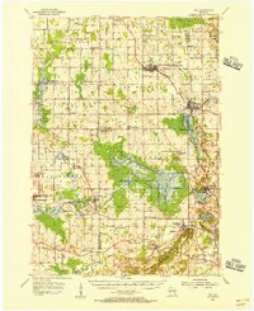
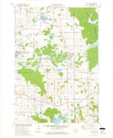
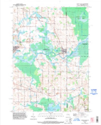
10 topographic sheets cover this place, the earliest surveyed in 1954 and the latest in 1992. It stands in Forest town. It lies in ZIP code area 53057. The Survey maps it on the Saint Cloud quadrangle.
Topographic sheets covering this place
6 surveys from 10 printed sheetsMatched by testing this settlement's coordinate against the published boundary of every sheet in the United States Geological Survey's historical collection. Each opens the scanned sheet at the Survey.
- 1954 USGS Kiel quadrangle1:62500, 2 printings
- 1957 USGS Madison quadrangle1:250000, 3 printings
- 1960 USGS Madison quadrangle1:250000, 2 printings
- 1974 USGS St. Cloud quadrangle1:24000
- 1980 USGS Fond Du Lac quadrangle1:100000
- 1992 USGS Saint Cloud quadrangle1:24000



In the county-history sources
5,486 words on this townshipThe History of Fond Du Lac County, Wisconsin, published 1880 names this settlement in its chapter on Forest Town. These are the passages that mention it, exactly as the scans read.
The first post oflice was established early in 1847, called Oasis, of which H. C. Giltner was Postmaster. The second was Dotyville, cstablislied by Thomas Davidson in 1849. In 1852, Mr. Davidson opened the first store in Forest, at Dotyville. In 1866, C. A. Corbett established Banner Post Office.
Passage source: The History of Fond Du Lac County, Wisconsin, published 1880.
C. C liYON, a leading firmer, Sec. 14 ; P. O. Banner ; is a native of Strongsville, Cuyahoga Co., Ohio; was born Sept. 12, 1823, where he remained until 21 years of age; he then went to Cleveland, Ohio, and there learned the machinist and engineer trades ; worked at the machinist trade in various places in Ohio and iN^ew York in the winters, and in the summer seasons, following the vocation of engineer on the lakes ; in 1857, he came to Wisconsin, and Fond du Lac Co. has been his home the greater part of the time since ; he owns 177 acres of land, and in conneclion with John A. Smith, of Sheboygan Co., carries on a cheese factory ; their factory is located on Sec. 29, and the cheese they make is widely known for its superior quality. In politics, Mr. Lyon is a Democrat ; he has been elected to various local offices. Has been twice married, first in Buffalo, N. Y., to Matilda Curtis, she died in Forest in June, 1872; children by the above marriage are Frank M. (now in Denver, Colo.), Charles C. (who married Bertie A. Nutting and resides in Forest), Mary M., Emma, Fred and May ; present wife was Caroline Nutting, widow of E. D. Nutting ; her maiden name was Parmalee ; she was born in Pittsfield, Kutland Co., Vt., where she married her first husbaad, and came with him to Wisconsin in 1856; he died in Fond du Lac; she married Mr. Lyon Feb. 22, 1872; they have one child, Samuel S. ; by her first marriage, there are five children, viz. ; Charlotte (wife of Lewis Langstaff, of Milwaukee) ; Sarah R. («ife of A. D. Lytle, Wood Co., Wis.), Ella J., wife of D. E. Hadlock, Kearney Co., Neb.), Bertie, wife of Charles C. Lyon) ; Frankie, (wife of William Zan, of this town. Forest).
Passage source: The History of Fond Du Lac County, Wisconsin, published 1880.
Machine-read from a century-old scan, so expect the errors a machine makes: misspelled names, dropped words, stray characters.
Read the whole chapter on Forest Town - it names this place 2 more 2 times.
Fires near this place
6 since 1994Regional context, not property-specific evidence. The federal wildfire occurrence database lists 6 fires within 5 miles of Banner between 1994 and 2019, burning about 61 acres in total. None started naturally. 1 was recorded as arson. Distance is straight-line from the map coordinates, so a fire counted here may appear on a neighbouring settlement's page as well.
| Reported cause | Fires |
|---|---|
| Debris and open burning | 3 |
| Equipment and vehicle use | 2 |
| Arson/incendiarism | 1 |
The most recent of them, most recent first, with the day each was reported and the service that recorded it.
| Date | Cause | Size | Reported by | Name on the report |
|---|---|---|---|---|
| 29 June 2018 | Debris and open burning | under an acre | Wisconsin Department of Natural Resources | 29 |
| 30 April 2018 | Equipment and vehicle use | under an acre | Wisconsin Department of Natural Resources | 38 |
| 22 April 2019 | Debris and open burning | under an acre | Wisconsin Department of Natural Resources | 2019016 |
| 23 March 2018 | Debris and open burning | 2.0 acres | Wisconsin Department of Natural Resources | 24 |
| 31 October 1994 | Arson/incendiarism | 2.5 acres | Wisconsin Department of Natural Resources | not named |
| 14 October 2015 | Equipment and vehicle use | 56 acres | Wisconsin Department of Natural Resources | MULLET RIVER MARSH FIRE |
Settlements close enough to share some of these fires:
Mines and quarries near this place
1 within 5 milesRegional context, not property-specific evidence. The federal mineral resources record lists 1 working within 5 miles of Banner: 1 past producer. None of them still produces. What was taken out: Sand and Gravel, Construction. Distance is straight-line from the map coordinates, so a quarry counted here may appear on a neighbouring settlement's page as well.
| Where | Site | Commodity | Status | Recorded |
|---|---|---|---|---|
| Schroeder Pit | Sand and Gravel, Construction | Past Producer |
Nearest settlements
The eight closest, with where each one stands in the county. Distances are straight-line, computed from the Geographic Names Information System coordinates.
| Map | Place | Distance | Sheets |
|---|---|---|---|
| Dotyville | 3.1 miles | 12 | |
| Graham Corners | 3.3 miles | 13 | |
| Saint Cloud | 4.1 miles | 10 | |
| Mount Calvary | 4.2 miles | 10 | |
| Armstrong | 4.4 miles | 13 | |
| Calvary | 5.4 miles | 10 | |
| Chinatown | 6.6 miles | 13 | |
| Malone | 7.1 miles | 12 |
Provenance
This settlement is recorded in the Geographic Names Information System as feature 1577502. The sheet list is computed by point-in-boundary test against the United States Geological Survey's historical topographic inventory. Both are works of the United States government and carry no copyright under 17 U.S.C. 105.
Wildfire. Short, Karen C. 2022. Spatial wildfire occurrence data for the United States, 1992-2020 [FPA_FOD_20221014]. 6th Edition. Fort Collins, CO: Forest Service Research Data Archive. https://doi.org/10.2737/RDS-2013-0009.6 Collected with United States Government funding and usable without additional permissions or fees.
Mines and quarries. USGS Mineral Resources Data System (MRDS) https://mrdata.usgs.gov/mrds/ A work of the United States government, no copyright under 17 U.S.C. 105.