 Block
Dotyville, Wisconsin
12 topographic sheets cover this place, the earliest surveyed in 1910 and the latest in 1992. It stands in Forest town. It lies in ZIP code area 53057. The Survey maps it on the Saint Peter quadrangle. It stands 1,027 feet above sea level.
Topographic sheets covering this place
7 surveys from 12 printed sheetsMatched by testing this settlement's coordinate against the published boundary of every sheet in the United States Geological Survey's historical collection. Each opens the scanned sheet at the Survey.
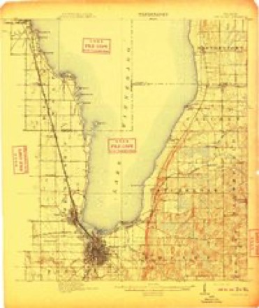
- 1910 USGS Fond du Lac quadrangle1:62500, 2 printings
- 1955 USGS Fond Du Lac quadrangle1:62500, 2 printings
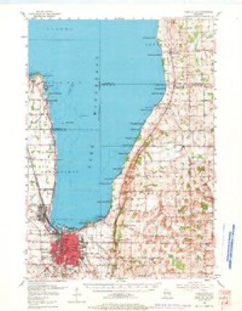
- 1957 USGS Madison quadrangle1:250000, 3 printings
- 1960 USGS Madison quadrangle1:250000, 2 printings
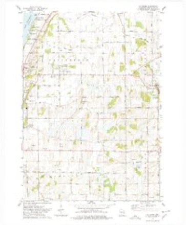
- 1974 USGS St. Peter quadrangle1:24000
- 1980 USGS Fond Du Lac quadrangle1:100000
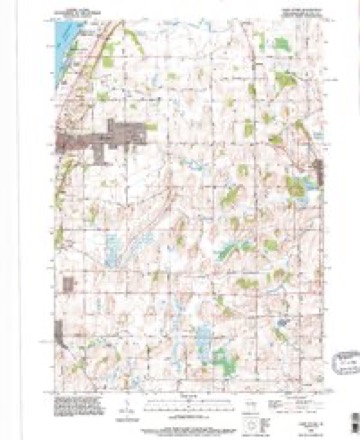
- 1992 USGS Saint Peter quadrangle1:24000



In the county-history sources
5,486 words on this townshipThe History of Fond Du Lac County, Wisconsin, published 1880 names this settlement in its chapter on Forest Town. These are the passages that mention it, exactly as the scans read.
The town of Forest was named after the splendid forests of hard timber that originally covered much the larger portion of its surface. No town in the county was blessed with finer hardwood timber, with occasional jungles of tamarack and some patches of cedar. It contains no genuine prairie, and but few oak openings. In early days, it was excellent for winter wheat, and is yet, as compared with other towns, owing to the peculiar soil of the timbered tracts. A great amount of labor has been expended in this town to fit the land for crops ; but the cash return for hard timber and cordwood, the abundance of it for home use, the protection forests afford in winter and the excellent soil when once ready for crops, abundantly repay the inhabitants for their extra exertions. The town is well watered, is rather more uneven than praii-ie towns, has some splendid sugar-maple groves and several water-powers. On Sections 28 and 3-3, in the south, is Mullet Lake, whence rises a stream of the same name, flowing noriheast into the Sheboygan River, which flows across the entire western portion of the town, turning a lathe, two mills and other machinery even as early as 1853. At Dotyville is a flouring-mill run by water - by the Sheboygan River. In February, 1847, the following act was passed :
Passage source: The History of Fond Du Lac County, Wisconsin, published 1880.
The first post oflice was established early in 1847, called Oasis, of which H. C. Giltner was Postmaster. The second was Dotyville, cstablislied by Thomas Davidson in 1849. In 1852, Mr. Davidson opened the first store in Forest, at Dotyville. In 1866, C. A. Corbett established Banner Post Office.
Passage source: The History of Fond Du Lac County, Wisconsin, published 1880.
HEXKY ENtrELS, farmer. Sec. 29 ; P. O. Dotyvillo, Wis.; born in town of Forest, Fond du Lac Co., Wis., Feb. 9, 1858. His father, Matthias Engels, was born in the village of Arbuck, Kreis Adana, Germany, on 6th of July, 1819, and emigrated to Canada in 1843, thence to this town (Forest) in 1847. In 1851, he married Annie Balzar; he died in Forest June 11, 1879; his wife is still living, and resides on the homestead ; their children are Henry, John, Michael Martin, Frank, Katie, Lizzie, Mary and Rosa. The estate consists of 160 acres of land, well improved. During his life in the town of Forest, Mr. Matthias Engels was elected to various local offices, and took an active part in the advancement of the educational interests in the district wherein he lived.
Passage source: The History of Fond Du Lac County, Wisconsin, published 1880.
Machine-read from a century-old scan, so expect the errors a machine makes: misspelled names, dropped words, stray characters.
Read the whole chapter on Forest Town - it names this place 4 more 4 times.
Fires near this place
5 since 1994Regional context, not property-specific evidence. The federal wildfire occurrence database lists 5 fires within 5 miles of Dotyville between 1994 and 2019, burning about 5 acres in total. None started naturally. 1 was recorded as arson. Distance is straight-line from the map coordinates, so a fire counted here may appear on a neighbouring settlement's page as well.
| Reported cause | Fires |
|---|---|
| Debris and open burning | 4 |
| Arson/incendiarism | 1 |
The most recent of them, most recent first, with the day each was reported and the service that recorded it.
| Date | Cause | Size | Reported by | Name on the report |
|---|---|---|---|---|
| 11 July 2018 | Debris and open burning | under an acre | Wisconsin Department of Natural Resources | 62 |
| 29 June 2018 | Debris and open burning | under an acre | Wisconsin Department of Natural Resources | 29 |
| 29 March 2019 | Debris and open burning | under an acre | Wisconsin Department of Natural Resources | 13 |
| 23 March 2018 | Debris and open burning | 2.0 acres | Wisconsin Department of Natural Resources | 24 |
| 31 October 1994 | Arson/incendiarism | 2.5 acres | Wisconsin Department of Natural Resources | not named |
Settlements close enough to share some of these fires:
Mines and quarries near this place
2 within 5 milesRegional context, not property-specific evidence. The federal mineral resources record lists 2 workings within 5 miles of Dotyville: 2 producers. All of them still produce. What was taken out: Sand and Gravel, Construction. Distance is straight-line from the map coordinates, so a quarry counted here may appear on a neighbouring settlement's page as well.
| Where | Site | Commodity | Status | Recorded |
|---|---|---|---|---|
| Gelling County Pit | Sand and Gravel, Construction | Producer | ||
| Gobels Pit | Sand and Gravel, Construction | Producer |
Storms near this place
2 since 2018Regional context, not property-specific evidence. The National Weather Service names Dotyville in 2 storm reports between 2018 and 2024: 1 tornado, 1 thunderstorm wind. No death or injury is recorded in these reports. Each account below is quoted exactly as the forecast office filed it, from the NOAA Storm Events Database, and each date opens the federal record of that event.
| When | Event | Place named | Harm | What the report says |
|---|---|---|---|---|
| June 2024 | Thunderstorm Wind | Dotyville | $7,000 | Several reports of trees and power lines down. Damage to a building. |
| August 2018 | Tornado (EF1) | Dotyville | - | Tornado was 1 of 19 tornadoes that occurred across central to east central Wisconsin on the afternoon of August 28th. This tornado started near Mullet Lake and pushed a barn off of its foundation south of the lake. As it approached County Road B, it hit a maintenance shed and tore off the roof. Widespread straight line winds caused significant tree and crop damage across the county as well. |
Nearest settlements
The eight closest, with where each one stands in the county. Distances are straight-line, computed from the Geographic Names Information System coordinates.
| Map | Place | Distance | Sheets |
|---|---|---|---|
| Banner | 3.1 miles | 10 | |
| Armstrong | 4.5 miles | 13 | |
| Graham Corners | 4.7 miles | 13 | |
| Mount Calvary | 5.2 miles | 10 | |
| Calvary | 6.6 miles | 10 | |
| Eden | 6.7 miles | 9 | |
| Waucousta | 6.9 miles | 9 | |
| Saint Cloud | 7.0 miles | 10 |
Elsewhere
Matched on this settlement's Geographic Names Information System number rather than its name, so it cannot be a different place of the same name in another state.
| Wikipedia article on Dotyville | An encyclopaedic summary. Its text is share-alike, so it is linked here rather than copied. |
| Wikidata item Q5299526 | The structured record the population and elevation above come from. Public domain (CC0). |
Provenance
This settlement is recorded in the Geographic Names Information System as feature 1564077. The sheet list is computed by point-in-boundary test against the United States Geological Survey's historical topographic inventory. Both are works of the United States government and carry no copyright under 17 U.S.C. 105.
Wildfire. Short, Karen C. 2022. Spatial wildfire occurrence data for the United States, 1992-2020 [FPA_FOD_20221014]. 6th Edition. Fort Collins, CO: Forest Service Research Data Archive. https://doi.org/10.2737/RDS-2013-0009.6 Collected with United States Government funding and usable without additional permissions or fees.
Mines and quarries. USGS Mineral Resources Data System (MRDS) https://mrdata.usgs.gov/mrds/ A work of the United States government, no copyright under 17 U.S.C. 105.
Storms. NOAA National Centers for Environmental Information, Storm Events Database https://www.ncei.noaa.gov/stormevents/ A work of the United States government, no copyright under 17 U.S.C. 105. Narratives are quoted verbatim from the National Weather Service report and are not edited or summarised.