 Block
Beetown, Wisconsin
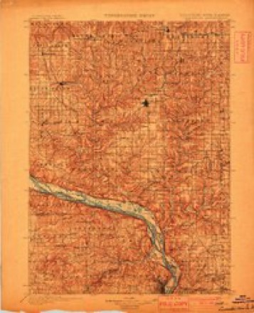
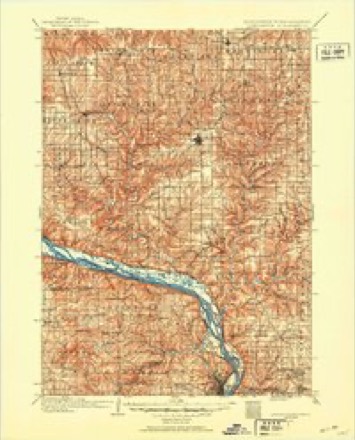
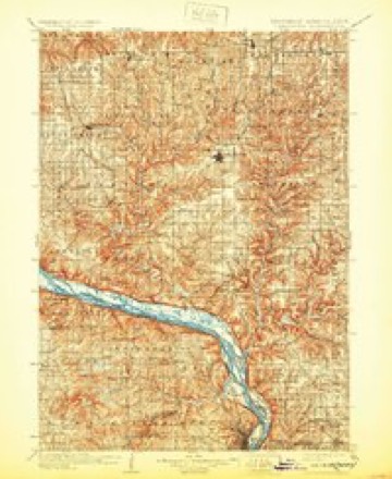
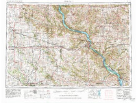
16 topographic sheets cover this place, the earliest surveyed in 1900 and the latest in 1984. It stands in Beetown town. It lies in ZIP code area 53806. The Survey maps it on the Beetown quadrangle.
Topographic sheets covering this place
9 surveys from 16 printed sheetsMatched by testing this settlement's coordinate against the published boundary of every sheet in the United States Geological Survey's historical collection. Each opens the scanned sheet at the Survey.
- 1900 USGS Lancaster quadrangle1:125000
- 1904 USGS Lancaster quadrangle1:125000
- 1908 USGS Lancaster quadrangle1:125000, 5 printings
- 1959 USGS Dubuque quadrangle1:250000
- 1961 USGS Dubuque quadrangle1:250000
- 1962 USGS Beetown quadrangle1:24000, 2 printings
- 1962 USGS Dubuque quadrangle1:250000, 2 printings
- 1976 USGS Dubuque quadrangle1:250000
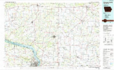
- 1984 USGS Dubuque North quadrangle1:100000, 2 printings
What happened here
An account from the chapter on Beetown town. The inset identifies its exact source book and publication year.
Thb Db La8Sbaux Mus'D Hr
The principal crime which has been committed in Beetown was the murder of De Lasseaux (or De Lassaulx) by a miner named Robert B. Brewer, in April, 1846. The murdered man was a smelter, a man of considerable means and good education, and Alsatian by birth, and a civil engineer by profession. He was very popular on account of his liberality, and respected on account of his ability and education.
In the county-history sources
8,426 words on this townshipHistory of Grant County, Wisconsin, published 1881 names this settlement in its chapter on Beetown Town. These are the passages that mention it, exactly as the scans read.
This town dates back in antiquity to a date when the Indians and their French allies roamed through this southwestern region. That mineral had been found on the bluffs of Grant River at an extremely early date is proven by the remains of their rude smelting works that were plainly visible up to a date within the memory of the present generation. The first knowledge of Beetown as a fixed place of abode for any number of people was in the early part of 1827, when James Meredith, Curtis Caldwell, Thomas Crocker and Cyrus Alexander stumbled across evidences of mineral at the foot of a large, hollow bee-tree that had been blown down by some of the storms passing over that section. Upon closer examination a nugget of mineral weighing 425 pounds is said to have been discovered. However this may be, the lead thus discovered was known from this time forth as the "bee lead," and proved among the richest of the many rich discoveries in this section. " During the early attempts at mining, this lead caved in and killed a workman by the name of Jack Dowling. His body was dug out and buried on the ridge west of the diggings. His coifin was split "puncheons," laid in the grave. The grave was discovered accidentally in 1852, but all that could then be seen was the fast decaying "puncheons" and moldering bones.
Passage source: History of Grant County, Wisconsin, published 1881.
During the "Winnebago fuss" the mines were deserted and left to care for themselves; as the excitement died away greed for gain proved stronger than fears of " Injun," and parties began to straggle back. During the fall of 1827, Henry C. Bushnell settled at Muscalunge with his newly married bride. Mr. Bushnell had been in that section earlier in the year, and, having become impressed with the beauty and richness of the country, married and immediately returned to begin his new home in the wilderness. Here he erected a log cabin, the threshold of which - a broad flat stone - can still be seen imbedded in the soil a few feet above the gate leading to the residence of Hon. 0. C. Hathaway. A short distance away, Mr. Bushnell erected a log blacksmith-shop, which is still standing, though exhibiting the marks of time on its rude walls. To Mr. and Mrs. Bushnell was born the succeeding year the first white child born in the county - Dorothy J. Bushnell. This same year George Hacket built a furnace near Muscalunge .and commenced smelting. He also had diggings on the stream known as Hacket's Branch. In 1828, Mr. Bushnell removed with his family to Lancaster, and settled at what has since been known as " Bushnell Hollow." In the same year, Mr. Solomon Arthur and wife came to Beetown from Vermont and located there, the first actual settlers Beetown had known. Mr. Arthur had reached Chicago in the fall of the preceding year ; but meeting Gen. Cass at that point, who was advising people to put themselves under the protection of the fort, remained there until spring. In three days after his arrival he had his log cabin rolled up, and here he lived until his death, which occurred in 1846 or 1847. For five years, Mrs. Arthur was the only white woman in Beetown, her nearest neighbor being six or seven miles distant. She was often compelled to subsist on parched corn, and would spend many days and nights alone, with no companion but the house-dog.
Passage source: History of Grant County, Wisconsin, published 1881.
Quite a number of adventurers came in the spring of 1828, with them Mr. A. L. Johnson, from Baltimore. He brought in a stock of goods, opened a store, and, in company with Mr. Arthur, built a log smelting furnace. At the same time came Capt. Robert Reed and Dr. Hill, afterward residents of Lancaster; Messrs. Snyder, Fuller and Robert Dougherty, from
Passage source: History of Grant County, Wisconsin, published 1881.
Machine-read from a century-old scan, so expect the errors a machine makes: misspelled names, dropped words, stray characters.
Read the whole chapter on Beetown Town - it names this place 27 more 27 times.
Fires near this place
1 since 2019Regional context, not property-specific evidence. The federal wildfire occurrence database lists 1 fire within 5 miles of Beetown in 2019, burning under an acre in total. None started naturally. None was recorded as arson. Distance is straight-line from the map coordinates, so a fire counted here may appear on a neighbouring settlement's page as well.
| Reported cause | Fires |
|---|---|
| Debris and open burning | 1 |
The most recent of them, most recent first, with the day each was reported and the service that recorded it.
| Date | Cause | Size | Reported by | Name on the report |
|---|---|---|---|---|
| 21 May 2019 | Debris and open burning | under an acre | Wisconsin Department of Natural Resources | 1905003 |
Settlements close enough to share some of these fires:
Mines and quarries near this place
10 of 12 shownRegional context, not property-specific evidence. The federal mineral resources record lists 12 workings within 5 miles of Beetown: 8 past producers, 4 unknowns. None of them still produces. What was taken out: Stone, Crushed/Broken, Lead, Zinc. Distance is straight-line from the map coordinates, so a quarry counted here may appear on a neighbouring settlement's page as well.
| Where | Site | Commodity | Status | Recorded |
|---|---|---|---|---|
| Atkinson Mine | Lead | Unknown | Galena | |
| Black Jack | Zinc, Lead | Unknown | Sphalerite | |
| Coon Hollow Mine | Zinc | Past Producer | ||
| Eberle Mine | Zinc, Lead | Unknown | Sphalerite | |
| Eberle Mine | Zinc, Lead | Past Producer | ||
| Yellow Jacket Mine | Zinc, Lead | Unknown | Sphalerite | |
| Martin Quarry | Stone, Crushed/Broken | Past Producer | ||
| Pautsman Quarry | Stone, Crushed/Broken | Past Producer | ||
| Peter Kershbaum Quarry | Stone, Crushed/Broken | Past Producer | ||
| Ulehoven Quarry | Stone, Crushed/Broken | Past Producer |
Storms near this place
7 since 2000Regional context, not property-specific evidence. The National Weather Service names Beetown in 7 storm reports between 2000 and 2024: 4 hail, 3 flash flood. No death or injury is recorded in these reports. Each account below is quoted exactly as the forecast office filed it, from the NOAA Storm Events Database, and each date opens the federal record of that event.
| When | Event | Place named | Harm | What the report says |
|---|---|---|---|---|
| September 2019 | Flash Flood | Beetown | $35,000 | Runoff from heavy rain caused a mudslide to occur south of Beetown along County Highway U. A township road northeast of Beetown was closed because of flood waters from the Platte River going over the road. High water also occurred along State Highway 35 near the intersection with State Highway 133 in Bloomington. |
| July 2024 | Flash Flood | Beetown | $15,000 | Emergency management reported numerous roads closed in Beetown Township with Portage Bridge Road also underwater. |
| April 2006 | Hail | Beetown | $1,250 | no account filed |
| June 2018 | Flash Flood | Beetown | $1,000 | Runoff from heavy rain pushed Rattlesnake Creek out of its banks southwest of Beetown. Debris and water covered parts of Rattlesnake and Glassmaker Roads. |
| April 2006 | Hail | Beetown | - | no account filed |
| May 2000 | Hail | Beetown | - | no account filed |
| May 2000 | Hail | Beetown | - | no account filed |
Nearest settlements
The eight closest, with where each one stands in the county. Distances are straight-line, computed from the Geographic Names Information System coordinates.
| Map | Place | Distance | Sheets |
|---|---|---|---|
| Diamond Grove | 1.8 miles | 16 | |
| Flora Fountain | 3.5 miles | 16 | |
| Five Points | 4.3 miles | 16 | |
| North Andover | 4.5 miles | 16 | |
| Hurricane | 6.1 miles | 16 | |
| Burton | 6.4 miles | 16 | |
| Bloomington | 6.5 miles | 16 | |
| Cassville | 7.9 miles | 16 |
Provenance
This settlement is recorded in the Geographic Names Information System as feature 1561503. The sheet list is computed by point-in-boundary test against the United States Geological Survey's historical topographic inventory. Both are works of the United States government and carry no copyright under 17 U.S.C. 105.
Wildfire. Short, Karen C. 2022. Spatial wildfire occurrence data for the United States, 1992-2020 [FPA_FOD_20221014]. 6th Edition. Fort Collins, CO: Forest Service Research Data Archive. https://doi.org/10.2737/RDS-2013-0009.6 Collected with United States Government funding and usable without additional permissions or fees.
Mines and quarries. USGS Mineral Resources Data System (MRDS) https://mrdata.usgs.gov/mrds/ A work of the United States government, no copyright under 17 U.S.C. 105.
Storms. NOAA National Centers for Environmental Information, Storm Events Database https://www.ncei.noaa.gov/stormevents/ A work of the United States government, no copyright under 17 U.S.C. 105. Narratives are quoted verbatim from the National Weather Service report and are not edited or summarised.