 Block
Burton, Wisconsin
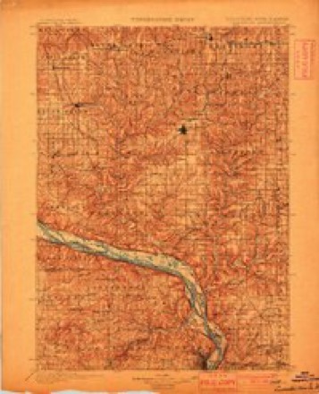
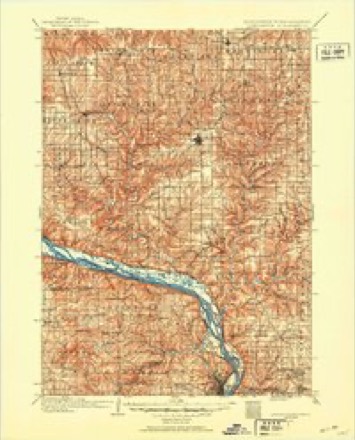
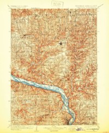
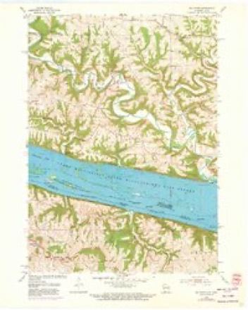
16 topographic sheets cover this place, the earliest surveyed in 1900 and the latest in 1984. It stands in Waterloo town. It lies in ZIP code area 53820. The Survey maps it on the Balltown quadrangle.
Topographic sheets covering this place
9 surveys from 16 printed sheetsMatched by testing this settlement's coordinate against the published boundary of every sheet in the United States Geological Survey's historical collection. Each opens the scanned sheet at the Survey.
- 1900 USGS Lancaster quadrangle1:125000
- 1904 USGS Lancaster quadrangle1:125000
- 1908 USGS Lancaster quadrangle1:125000, 5 printings
- 1955 USGS Balltown quadrangle1:24000, 2 printings
- 1959 USGS Dubuque quadrangle1:250000
- 1961 USGS Dubuque quadrangle1:250000
- 1962 USGS Dubuque quadrangle1:250000, 2 printings
- 1976 USGS Dubuque quadrangle1:250000
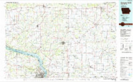
- 1984 USGS Dubuque North quadrangle1:100000, 2 printings
Mines and quarries near this place
5 within 5 milesRegional context, not property-specific evidence. The federal mineral resources record lists 5 workings within 5 miles of Burton: 2 unknowns, 2 past producers, 1 occurrence. None of them still produces. What was taken out: Zinc, Lead, Stone, Crushed/Broken. Distance is straight-line from the map coordinates, so a quarry counted here may appear on a neighbouring settlement's page as well.
| Where | Site | Commodity | Status | Recorded |
|---|---|---|---|---|
| Black Jack | Zinc, Lead | Unknown | Sphalerite | |
| Martin Quarry | Stone, Crushed/Broken | Past Producer | ||
| Pennecamp Quarry | Stone, Crushed/Broken | Past Producer | ||
| Yellow Jacket Mine | Zinc, Lead | Unknown | Sphalerite | |
| Seng Farm Prospect | Zinc | Occurrence |
Storms near this place
28 since 1997Regional context, not property-specific evidence. The National Weather Service names Burton in 28 storm reports between 1997 and 2025: 19 flood, 4 heavy rain, 3 hail, 1 flash flood. No death or injury is recorded in these reports. Each account below is quoted exactly as the forecast office filed it, from the NOAA Storm Events Database, and each date opens the federal record of that event.
| When | Event | Place named | Harm | What the report says |
|---|---|---|---|---|
| July 2009 | Hail | Burton | $2,500 | no account filed |
| June 2005 | Thunderstorm Wind | Burton | $500 | no account filed |
| April 2025 | Hail | Burton | - | A CoCoRaHS observer reported ping pong ball sized hail 3 miles north-northwest of Burton. |
| May 2024 | Hail | Burton | - | Report of 0.75 inch hail from MPING application 2 miles NW of Burton. |
| February 2023 | Flood | Burton | - | Runoff from the combination of rainfall and melting snow pushed the Grant River out of its banks near Burton. The river crested almost two feet above the flood stage at 19.75 feet. |
| August 2022 | Heavy Rain | Burton | - | Northeast of Cassville, 2.8 inches of rain fell. |
| March 2019 | Flood | Burton | - | Runoff from rain and melting snow pushed the Grant River out of its banks near Burton. The river crested almost four feet above the flood stage at 21.83 feet on March 14th. |
| October 2019 | Flood | Burton | - | Runoff from heavy rains pushed the Grant River out of its banks near Burton. The river crested over three feet above the flood stage at 21.23 feet on the 2nd. |
| September 2019 | Flood | Burton | - | Runoff from heavy rain pushed the Grant River out of its banks near Burton. The river crested a foot and a half above the flood stage at 19.5 feet. |
| September 2019 | Heavy Rain | Burton | - | Northwest of Burton, 4.55 inches of rain fell. |
| September 2019 | Flood | Burton | - | Runoff from heavy rain pushed the Grant River out of its banks near Burton. The river crested over five feet above the flood stage at 23.54 feet. |
| September 2019 | Flood | Burton | - | Runoff from heavy rain pushed the Grant River out of its banks near Burton. The river crested over five feet above the flood stage at 23.3 feet on the 20th. |
| January 2018 | Flood | Burton | - | Ice jams and runoff from heavy rain caused flooding along the Grant River near Burton. The river crested over four feet above the flood stage at 22.28 feet. |
| February 2018 | Flood | Burton | - | Runoff from heavy rains pushed the Grant River out of its banks near Burton. The river crested over two and a half feet above the flood stage at 20.65 feet. |
| September 2018 | Flood | Burton | - | Runoff from heavy rains pushed the Grant River out of its banks near Burton. The river crested over four feet above the flood stage at 22.22 feet. |
| June 2018 | Flood | Burton | - | Runoff from heavy rain pushed the Grant River out of its banks near Burton. The river crested a foot and a half above the flood stage at 19.61 feet on the 10th. |
| October 2018 | Flood | Burton | - | Runoff from heavy rains pushed the Grant River out of its banks near Burton. The river crested over six feet above the flood stage on October 2nd. |
| October 2018 | Flood | Burton | - | Runoff from heavy rains pushed the Grant River out of its banks near Burton. The river crested just over a foot above the flood stage at 19.15 feet. |
| October 2018 | Flood | Burton | - | Runoff from heavy rains pushed the Grant River out of its banks near Burton for the second time in three days. The river crested about a half foot above the flood stage at 18.43 feet. |
| July 2017 | Flood | Burton | - | Runoff from heavy rain pushed the Grant River out of its banks near Burton. The river crested over eight feet above the flood stage at 26.45 feet. |
| July 2017 | Heavy Rain | Burton | - | Near Burton, 7.20 inches of rain fell. |
| February 2016 | Flood | Burton | - | An ice jam pushed the Grant River out of its banks near Burton. The river crested a little over a foot above the flood stage at 19.12 feet. |
| July 2016 | Flood | Burton | - | Runoff from heavy rain pushed the Grant River out of its banks near Burton. The river crested almost three above the flood stage at 20.82 feet. |
| January 2013 | Flood | Burton | - | Runoff from snow melt and heavy rains pushed the Grant River out of its banks near Burton. The river crested almost two and a half feet above the flood stage at 20.45 feet. |
| March 2013 | Flood | Burton | - | Runoff from snow melt and heavy rains pushed the Grant River out of its banks twice near Burton. The highest crest on the river was over two and a half feet above the flood stage at 20.73 feet. |
| July 2010 | Flood | Burton | - | Locally heavy rains pushed the Grant River out of its banks in the vicinity of Burton on July 24th. The river exceeded the flood stage by over two feet cresting at 20.32 feet. |
| July 2010 | Heavy Rain | Burton | - | An automated mesonet weather system measured 3.28 inches of rain in 3.5 hours. 2.07 inches of the total fell in one hour. |
| February 1997 | Flash Flood | Burton | - | no account filed |
Nearest settlements
The eight closest, with where each one stands in the county. Distances are straight-line, computed from the Geographic Names Information System coordinates.
| Map | Place | Distance | Sheets |
|---|---|---|---|
| McCartney | 3.0 miles | 16 | |
| Hurricane | 5.2 miles | 16 | |
| Van Buren | 5.6 miles | 16 | |
| Potosi | 5.9 miles | 16 | |
| Beetown | 6.4 miles | 16 | |
| Five Points | 6.7 miles | 16 | |
| Buena Vista | 6.9 miles | 16 | |
| British Hollow | 7.0 miles | 16 |
Provenance
This settlement is recorded in the Geographic Names Information System as feature 1562456. The sheet list is computed by point-in-boundary test against the United States Geological Survey's historical topographic inventory. Both are works of the United States government and carry no copyright under 17 U.S.C. 105.
Mines and quarries. USGS Mineral Resources Data System (MRDS) https://mrdata.usgs.gov/mrds/ A work of the United States government, no copyright under 17 U.S.C. 105.
Storms. NOAA National Centers for Environmental Information, Storm Events Database https://www.ncei.noaa.gov/stormevents/ A work of the United States government, no copyright under 17 U.S.C. 105. Narratives are quoted verbatim from the National Weather Service report and are not edited or summarised.