 Block
Bethesda, Wisconsin
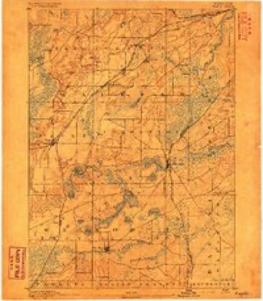
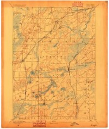
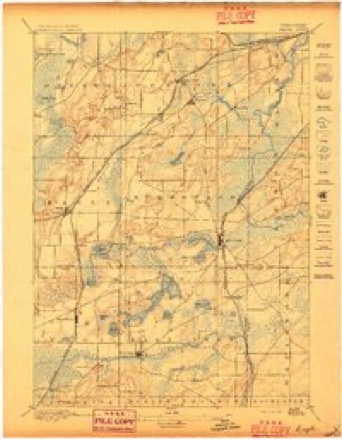
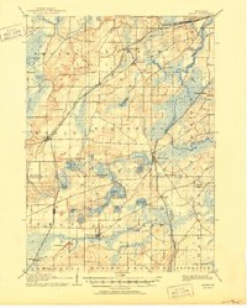
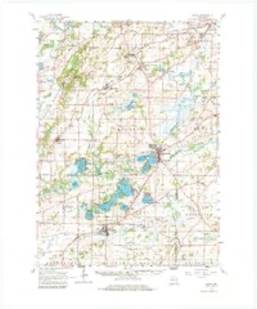
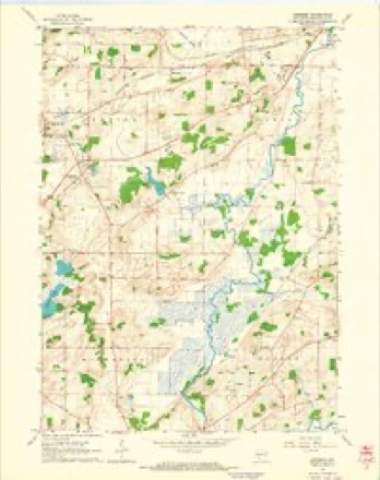
23 topographic sheets cover this place, the earliest surveyed in 1892 and the latest in 1980. It stands in Genesee town. It lies in ZIP code area 53189. It stands on Brandy Brook. The Survey maps it on the Genesee quadrangle.
Topographic sheets covering this place
11 surveys from 23 printed sheetsMatched by testing this settlement's coordinate against the published boundary of every sheet in the United States Geological Survey's historical collection. Each opens the scanned sheet at the Survey.
- 1892 USGS Eagle quadrangle1:62500
- 1894 USGS Eagle quadrangle1:62500
- 1897 USGS Eagle quadrangle1:62500
- 1906 USGS Eagle quadrangle1:62500, 6 printings
- 1954 USGS Rockford quadrangle1:250000
- 1955 USGS Rockford quadrangle1:250000
- 1958 USGS Rockford quadrangle1:250000, 4 printings
- 1960 USGS Eagle quadrangle1:62500, 3 printings
- 1960 USGS Genesee quadrangle1:24000, 3 printings
- 1963 USGS Rockford quadrangle1:250000
- 1980 USGS Lake Geneva quadrangle1:100000





What happened here
An account from the chapter on Genesee town. The inset identifies its exact source book and publication year.
Town Of Mukwonaco
WILiIilAM ADDENBROORE, farmer. Sec. 9; P. 0. North Prairie; born 1832, in Staffordshire, Eng. ; is a son of Hy. and Harriett (Johnson) Addenbrook, who are now residents of Liverpool, Eng. ; Mr. A. studied in the schools of his native land, taking a medical course at the Birmingham Hospital; he practiced medicine on the ocean packet-ships, and in the American and English seaports, until 1852, when he came to Wisconsin and bought his present farm of 120 acres; was for nine years in the grain and mercantile business at North Prairie, selling his store and elevator, in 1875 ; has since devoted himself to his farm and apiary ; his first swarm was captured in the woods about twenty years ago ; was for a time in partnership with George Grimm, whose father, Adam G., of Jefferson, Wis., was the most successful apiarian on the continent, and first introduced the Italian bees ; the partnership was dissolved in 1879, Mr.
In the county-history sources
50,052 words on this townshipThe History of Waukesha County, Wisconsin. Containing an Account of Its Settlement, Growth, Development and Resources; an Extensive and Minute Sketch of Its Cities, Towns and Villages--their Improvements, Industries, Manufactories, Churches, Schools and Societies; Its War Record, Biographical Sketches, Portraits of Prominent Men and Early Settlers; the Whole Preceded by a History of Wisconsin, Statistics of the State, and an Abstract of Its Laws and Constitution and of the Constitution of the United States, published 1880 has no passage naming this settlement, which was common for smaller places. Its township is covered in full.
The chapter on Genesee Town covers the township.
Read the chapter on Genesee Town - 50,052 words.
Fires near this place
14 since 2018Regional context, not property-specific evidence. The federal wildfire occurrence database lists 14 fires within 5 miles of Bethesda between 2018 and 2020, burning about 10 acres in total. None started naturally. 1 was recorded as arson. Distance is straight-line from the map coordinates, so a fire counted here may appear on a neighbouring settlement's page as well.
| Reported cause | Fires |
|---|---|
| Missing data/not specified/undetermined | 10 |
| Debris and open burning | 3 |
| Arson/incendiarism | 1 |
The most recent of them, most recent first, with the day each was reported and the service that recorded it.
| Date | Cause | Size | Reported by | Name on the report |
|---|---|---|---|---|
| 25 September 2018 | Arson/incendiarism | under an acre | Wisconsin Department of Natural Resources | 518 |
| 16 September 2018 | Debris and open burning | under an acre | Wisconsin Department of Natural Resources | 381 |
| 7 May 2020 | Missing data/not specified/undetermined | under an acre | Wisconsin Department of Natural Resources | 129 |
| 21 May 2020 | Missing data/not specified/undetermined | under an acre | Wisconsin Department of Natural Resources | 205 |
| 29 April 2018 | Missing data/not specified/undetermined | 1.0 acres | Wisconsin Department of Natural Resources | 2442 |
| 29 April 2018 | Missing data/not specified/undetermined | under an acre | Wisconsin Department of Natural Resources | 150 |
| 27 April 2020 | Debris and open burning | 1.0 acres | Wisconsin Department of Natural Resources | 202 |
| 19 April 2020 | Missing data/not specified/undetermined | 1.0 acres | Wisconsin Department of Natural Resources | 192 |
Settlements close enough to share some of these fires:
Mines and quarries near this place
7 within 5 milesRegional context, not property-specific evidence. The federal mineral resources record lists 7 workings within 5 miles of Bethesda: 3 unknowns, 3 past producers, 1 producer. 1 still produces. What was taken out: Sand and Gravel, Construction, Stone, Stone, Dimension. Distance is straight-line from the map coordinates, so a quarry counted here may appear on a neighbouring settlement's page as well.
| Where | Site | Commodity | Status | Recorded |
|---|---|---|---|---|
| Genesee Quarry | Stone, Dimension | Past Producer | ||
| Own Crews | Stone | Unknown | ||
| Perrens Quarry | Stone | Unknown | ||
| Bishop Pit | Sand and Gravel, Construction | Past Producer | ||
| Genesee Pit & Mill | Sand and Gravel, Construction | Producer | ||
| Pit Wolf Constr. | Sand and Gravel, Construction | Past Producer | ||
| Springdale Pit | Sand and Gravel, Construction | Unknown |
Storms near this place
15 since 2013Regional context, not property-specific evidence. The National Weather Service names Bethesda in 15 storm reports between 2013 and 2025: 6 hail, 5 thunderstorm wind, 2 tornado, 1 heavy rain. No death or injury is recorded in these reports. Each account below is quoted exactly as the forecast office filed it, from the NOAA Storm Events Database, and each date opens the federal record of that event.
| When | Event | Place named | Harm | What the report says |
|---|---|---|---|---|
| August 2015 | Tornado (EF0) | Bethesda | $10,000 | An EF0 tornado caused sporadic damage along its path. Mostly trees were affected with many large branches snapped. Some whole trees were downed. A large tree branch landed on a car. There was some damage to a large wooden toy set and one wall was removed from a very small shed. |
| June 2014 | Thunderstorm Wind | Bethesda | $10,000 | A swath of trees down, some large. Power lines down. Some roads blocked by fallen trees. |
| August 2020 | Thunderstorm Wind | Bethesda | $3,000 | Scattered tree limbs and wires down in Waukesha. |
| May 2024 | Thunderstorm Wind | Bethesda | $1,000 | A tree limb fell onto a fence. |
| June 2020 | Thunderstorm Wind | Bethesda | $1,000 | Scattered tree limbs down up to 6 inches in diameter. |
| May 2024 | Thunderstorm Wind | Bethesda | $500 | Eighteen inch diameter tree snapped. |
| July 2021 | Tornado (EF1) | Bethesda | - | This was 1 of 17 tornadoes to occur in Wisconsin on the night of July 28th into the early morning hours of July 29th. This was the 17th overall tornado for the event. A line of storms developed in northern Wisconsin and pushed south into southern Wisconsin in the overnight hours of the 28th into the 29th of July with mainly brief tornadoes and damaging winds occurring. ||This tornado began in a subdivision near County Rd D and Townline Rd. It crossed Townline Rd where it snapped several mature pine trees 10-15 feet above the ground and uprooted a very large maple tree. The tornado progressed southeast with additional minor tree damage and dissipated near Hwy 59. |
| May 2018 | Hail | Bethesda | - | Wind driven, large hail observed. Winds estimated around 55 mph. |
| May 2014 | Flash Flood | Bethesda | - | According to the river gauge in Waukesha, the Fox River rose quickly and went into minor flood stage during this period due to heavy rains of 3 to 4 inches mainly in the evening hours. The river was observed out of its banks near the cross streets of Moreland Boulevard and Madison Street, and there was some flooding in the backyards of homes. |
| August 2013 | Heavy Rain | Bethesda | - | Two to 2.5 feet of standing water at the intersection of Sunset Dr. and East Ave. and 1 to 1.5 feet of standing water at the intersection of Sunset Dr. and West Ave. Vehicle flooded at Sunset Dr. and West Ave. 1.5 inches of rain estimated from radar. |
| April 2025 | Hail | Bethesda | - | no account filed |
| April 2025 | Hail | Bethesda | - | no account filed |
| April 2025 | Hail | Bethesda | - | no account filed |
| April 2014 | Hail | Bethesda | - | no account filed |
| August 2013 | Hail | Bethesda | - | no account filed |
Nearest settlements
The eight closest, with where each one stands in the county. Distances are straight-line, computed from the Geographic Names Information System coordinates.
| Map | Place | Distance | Sheets |
|---|---|---|---|
| Saylesville | 2.6 miles | 23 | |
| Genesee Depot | 3.2 miles | 23 | |
| Genesee | 3.2 miles | 23 | |
| Wales | 3.3 miles | 23 | |
| Waukesha | 4.9 miles | 21 | |
| Edgewood | 5.2 miles | 22 | |
| Buena Vista | 5.6 miles | 22 | |
| North Prairie | 5.9 miles | 23 |
Provenance
This settlement is recorded in the Geographic Names Information System as feature 1577515. The sheet list is computed by point-in-boundary test against the United States Geological Survey's historical topographic inventory. Both are works of the United States government and carry no copyright under 17 U.S.C. 105.
Wildfire. Short, Karen C. 2022. Spatial wildfire occurrence data for the United States, 1992-2020 [FPA_FOD_20221014]. 6th Edition. Fort Collins, CO: Forest Service Research Data Archive. https://doi.org/10.2737/RDS-2013-0009.6 Collected with United States Government funding and usable without additional permissions or fees.
Mines and quarries. USGS Mineral Resources Data System (MRDS) https://mrdata.usgs.gov/mrds/ A work of the United States government, no copyright under 17 U.S.C. 105.
Storms. NOAA National Centers for Environmental Information, Storm Events Database https://www.ncei.noaa.gov/stormevents/ A work of the United States government, no copyright under 17 U.S.C. 105. Narratives are quoted verbatim from the National Weather Service report and are not edited or summarised.