 Block
Edgewood, Wisconsin
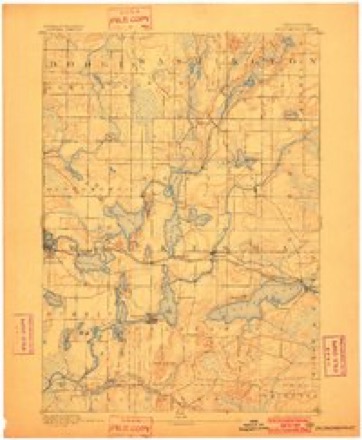
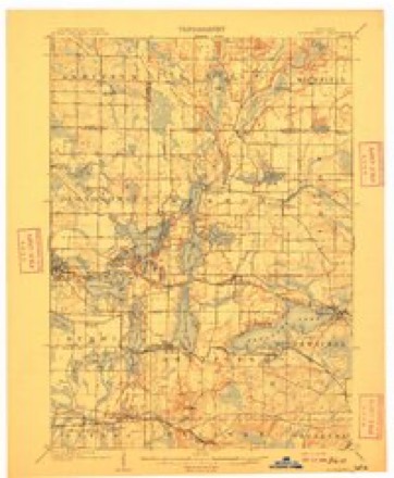
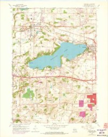
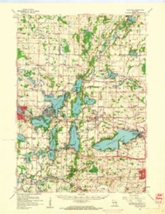
22 topographic sheets cover this place, the earliest surveyed in 1892 and the latest in 1991. It stands in Pewaukee City. It lies in ZIP code area 53072. The Survey maps it on the Hartland quadrangle.
Topographic sheets covering this place
8 surveys from 22 printed sheetsMatched by testing this settlement's coordinate against the published boundary of every sheet in the United States Geological Survey's historical collection. Each opens the scanned sheet at the Survey.
- 1892 USGS Oconomowoc quadrangle1:62500, 4 printings
- 1909 USGS Oconomowoc quadrangle1:62500, 6 printings
- 1957 USGS Madison quadrangle1:250000, 3 printings
- 1959 USGS Hartland quadrangle1:24000, 4 printings
- 1959 USGS Hartland quadrangle1:62500
- 1960 USGS Madison quadrangle1:250000, 2 printings
- 1984 USGS Oconomowoc quadrangle1:100000
- 1991 USGS Oconomowoc quadrangle1:100000


What happened here
An account from the chapter on Pewaukee city. The inset identifies its exact source book and publication year.
Fort Howard, Green Bay
Under the class of diseases of the respiratory organs, are comprised 384 catarrh, 6 pneumonia, 60 pleuritis, and 28 phthisis pulmonalis; under the class of digestive organs, 376 diarrhoea and dysentery, 184 colic and cholera, and 10 hepatitis; under the class of diseases of the brain and nervous system, 15 epilepsy, etc.
In the county-history sources
38,760 words on this townshipThe History of Waukesha County, Wisconsin. Containing an Account of Its Settlement, Growth, Development and Resources; an Extensive and Minute Sketch of Its Cities, Towns and Villages--their Improvements, Industries, Manufactories, Churches, Schools and Societies; Its War Record, Biographical Sketches, Portraits of Prominent Men and Early Settlers; the Whole Preceded by a History of Wisconsin, Statistics of the State, and an Abstract of Its Laws and Constitution and of the Constitution of the United States, published 1880 has no passage naming this settlement, which was common for smaller places. Its township is covered in full.
The chapter on Pewaukee City covers the township.
Read the chapter on Pewaukee City - 38,760 words.
Fires near this place
22 since 2018Regional context, not property-specific evidence. The federal wildfire occurrence database lists 22 fires within 5 miles of Edgewood between 2018 and 2020, burning about 12 acres in total. None started naturally. 1 was recorded as arson. Distance is straight-line from the map coordinates, so a fire counted here may appear on a neighbouring settlement's page as well.
| Reported cause | Fires |
|---|---|
| Missing data/not specified/undetermined | 12 |
| Debris and open burning | 8 |
| Arson/incendiarism | 1 |
| Power generation/transmission/distribution | 1 |
The most recent of them, most recent first, with the day each was reported and the service that recorded it.
| Date | Cause | Size | Reported by | Name on the report |
|---|---|---|---|---|
| 16 September 2018 | Debris and open burning | under an acre | Wisconsin Department of Natural Resources | 381 |
| 1 July 2020 | Debris and open burning | under an acre | Wisconsin Department of Natural Resources | 222 |
| 1 July 2018 | Power generation/transmission/distribution | 1.0 acres | Wisconsin Department of Natural Resources | 242 |
| 4 May 2018 | Missing data/not specified/undetermined | under an acre | Wisconsin Department of Natural Resources | 1800812 |
| 28 May 2018 | Debris and open burning | under an acre | Wisconsin Department of Natural Resources | 190 |
| 21 May 2020 | Missing data/not specified/undetermined | under an acre | Wisconsin Department of Natural Resources | 205 |
| 2 May 2020 | Debris and open burning | 1.0 acres | Wisconsin Department of Natural Resources | 125 |
| 1 May 2018 | Missing data/not specified/undetermined | under an acre | Wisconsin Department of Natural Resources | 1800786 |
Settlements close enough to share some of these fires:
Mines and quarries near this place
4 within 5 milesRegional context, not property-specific evidence. The federal mineral resources record lists 4 workings within 5 miles of Edgewood: 2 unknowns, 2 producers. 2 still produce. What was taken out: Sand and Gravel, Construction, Stone, Stone, Crushed/Broken. Distance is straight-line from the map coordinates, so a quarry counted here may appear on a neighbouring settlement's page as well.
| Where | Site | Commodity | Status | Recorded |
|---|---|---|---|---|
| Own Crews | Stone | Unknown | ||
| Waukesha Lime and Stone Co Quarry | Stone, Crushed/Broken | Producer | ||
| Springdale Pit | Sand and Gravel, Construction | Unknown | ||
| Wcti Pit | Sand and Gravel, Construction | Producer |
Storms near this place
4 since 2015Regional context, not property-specific evidence. The National Weather Service names Edgewood in 4 storm reports between 2015 and 2026: 2 hail, 1 flood, 1 flash flood. No death or injury is recorded in these reports. Each account below is quoted exactly as the forecast office filed it, from the NOAA Storm Events Database, and each date opens the federal record of that event.
| When | Event | Place named | Harm | What the report says |
|---|---|---|---|---|
| September 2022 | Flood | Edgewood | $25,000 | Many roads and intersections with standing water were closed, including I-94 at Highway T. Both lanes of this portion of the interstate were closed for the morning into the early afternoon of September 12th. Numerous basements were also flooded. The Fox River at Waukesha also rose into minor flood stage. Portions of Frame Park become flooded from the river. About one half mile south of downtown Waukesha, water was covering much of the back yards of 6 or 7 homes in the Bethesda Court area of Waukesha due to the flooding river. |
| April 2026 | Flash Flood | Edgewood | $10,000 | Flash flooding of streets in many locations throughout Waukesha and extending into Brookfield. Farther to the south, Artesian Ave. was flooded and closed. |
| August 2015 | Hail | Edgewood | - | no account filed |
| August 2015 | Hail | Edgewood | - | no account filed |
Nearest settlements
The eight closest, with where each one stands in the county. Distances are straight-line, computed from the Geographic Names Information System coordinates.
| Map | Place | Distance | Sheets |
|---|---|---|---|
| Pewaukee West | 1.8 miles | 22 | |
| Pewaukee | 2.5 miles | 22 | |
| Buena Vista | 2.7 miles | 22 | |
| Hartland | 3.6 miles | 22 | |
| Waukesha | 5.1 miles | 21 | |
| Bethesda | 5.2 miles | 23 | |
| Delafield | 5.4 miles | 23 | |
| Duplainville | 5.5 miles | 21 |
Provenance
This settlement is recorded in the Geographic Names Information System as feature 1564446. The sheet list is computed by point-in-boundary test against the United States Geological Survey's historical topographic inventory. Both are works of the United States government and carry no copyright under 17 U.S.C. 105.
Wildfire. Short, Karen C. 2022. Spatial wildfire occurrence data for the United States, 1992-2020 [FPA_FOD_20221014]. 6th Edition. Fort Collins, CO: Forest Service Research Data Archive. https://doi.org/10.2737/RDS-2013-0009.6 Collected with United States Government funding and usable without additional permissions or fees.
Mines and quarries. USGS Mineral Resources Data System (MRDS) https://mrdata.usgs.gov/mrds/ A work of the United States government, no copyright under 17 U.S.C. 105.
Storms. NOAA National Centers for Environmental Information, Storm Events Database https://www.ncei.noaa.gov/stormevents/ A work of the United States government, no copyright under 17 U.S.C. 105. Narratives are quoted verbatim from the National Weather Service report and are not edited or summarised.