 Block
Brighton, Wisconsin
18 topographic sheets cover this place, the earliest surveyed in 1893 and the latest in 1980. It stands in Brighton town. It lies in ZIP code area 53139. The Survey maps it on the Union Grove quadrangle.
Topographic sheets covering this place
9 surveys from 18 printed sheetsMatched by testing this settlement's coordinate against the published boundary of every sheet in the United States Geological Survey's historical collection. Each opens the scanned sheet at the Survey.
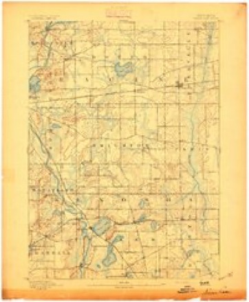
- 1893 USGS Silver Lake quadrangle1:62500, 2 printings
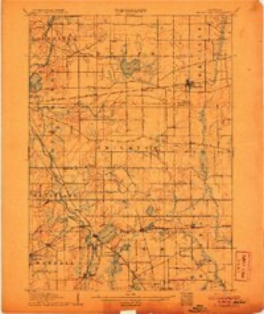
- 1906 USGS Silver Lake quadrangle1:62500, 3 printings
- 1954 USGS Rockford quadrangle1:250000
- 1955 USGS Rockford quadrangle1:250000
- 1958 USGS Rockford quadrangle1:250000, 4 printings
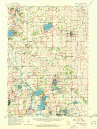
- 1960 USGS Silver Lake quadrangle1:62500, 3 printings
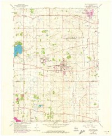
- 1960 USGS Union Grove quadrangle1:24000, 2 printings
- 1963 USGS Rockford quadrangle1:250000
- 1980 USGS Lake Geneva quadrangle1:100000





In the county-history sources
4,238 words on this townshipThe History of Racine and Kenosha Counties, Wisconsin .., published 1879 names this settlement in its chapter on Brighton Town. These are the passages that mention it, exactly as the scans read.
JOHM CALIiAGHAKT, farmer. Sec. 19; P. 0. Brighton; he was born in County Cork, Ireland, in 1831 ; he first came to Wisconsin in 1849, and lived in Burlington Township, where he worked on a farm till 1851, then moved to Brighton Township, where he was employed on different farms. In 1856, he married, in Burlington village, Miss Ellen Flannagan ; she was born in County Cork in 1835 ; they have never had any children. In 1858, Mr. Callaghan, with his wife, moved to Minnesota, where he located on a farm ; lived there until 1864, then returned to Wisconsin and bought the farm on which he is now living. He has been very industrious; he owns forty acres of fertile land, situated on Sec. 19, handsomely improved, with stables, granary and comfortable house. Members of the Brighton Roman Catholic Church.
Passage source: The History of Racine and Kenosha Counties, Wisconsin .., published 1879.
CHAKJLES CHOAK, farmer, Sec. 22; P. 0. Kansasville ; he was bora in Cornwall, England, in 1841 ; he came with his parents to Wisconsin in 1853; they located in Brighton and began farming ; Charles lived at home until 1861, when he enlisted in the Ist W. V. I., Co. C; he was in all. the battles his regiment participated in ; he was wounded at the battle of Jonesboro, where he had his finger shot off; was mustered out in Milwaukee, Wis., in 1865, when he returned to his home and parents. He married, in April, 1867, Miss Lotta Weaver, born in Brighton ; they have three children - Evered, born Oct. 22, 1868; Ellinor, Aug. 6, 1871 ; Florence Nellie, Feb. 20, 1875. He was elected and served as Treasurer of the School Board at different times, giving satisfaction to the community. He owns 146 acres of fine land, all under cultivation, finely improved, good barns, a new, pretty house, comfortable home, rtc.
Passage source: The History of Racine and Kenosha Counties, Wisconsin .., published 1879.
OBIIi DElJEIi, farmer, Section 33 ; Section 4 ; P. 0. Salem ; he waa born in Washing ton Co., N.Y., April 10, 1808; came to Wisconsin in 1842, located in Brighton Township, and engaged i farming. He married, in Bennington Co., Vt., in January, 1830, Miss Irena B. Stanton, a native of tha place ; they had two daughters - Mary J., born Sept. 4, 1842 ; she married G. J. Pease ; had two daugh ters - Ida and Jennie, and died May 16, 1860; Mr. Pease and his daughters now reside in Ann Arbor Mich., where he is a hardware merchant ; Mr. Deuel's other daughter. Electa J., was bom Nov. 2, 1834 she married, in November, 1856, Mr. E. Vance; had two children - Clarence and Mary. Mr. Deuel'! wife taught the first school in Salem Township, in 1 844 ; at the organization of the school there wen thirty-two pupils, some of them 12 years of age, made their first appearance in a schoolroom ; some of the neighbors well remember Mrs. Deuel's school. Owns 160 acres, well improved.
Passage source: The History of Racine and Kenosha Counties, Wisconsin .., published 1879.
Machine-read from a century-old scan, so expect the errors a machine makes: misspelled names, dropped words, stray characters.
Read the whole chapter on Brighton Town - it names this place 23 more 23 times.
Fires near this place
13 since 2010Regional context, not property-specific evidence. The federal wildfire occurrence database lists 13 fires within 5 miles of Brighton between 2010 and 2020, burning about 102 acres in total. None started naturally. None was recorded as arson. Distance is straight-line from the map coordinates, so a fire counted here may appear on a neighbouring settlement's page as well.
| Reported cause | Fires |
|---|---|
| Missing data/not specified/undetermined | 8 |
| Debris and open burning | 4 |
| Equipment and vehicle use | 1 |
The most recent of them, most recent first, with the day each was reported and the service that recorded it.
| Date | Cause | Size | Reported by | Name on the report |
|---|---|---|---|---|
| 14 June 2018 | Debris and open burning | under an acre | Wisconsin Department of Natural Resources | 393 |
| 10 June 2019 | Debris and open burning | under an acre | Wisconsin Department of Natural Resources | 293 |
| 5 April 2020 | Debris and open burning | under an acre | Wisconsin Department of Natural Resources | 27 |
| 4 April 2020 | Missing data/not specified/undetermined | under an acre | Wisconsin Department of Natural Resources | 2000370 |
| 30 April 2018 | Missing data/not specified/undetermined | 20 acres | Wisconsin Department of Natural Resources | 1800402 |
| 2 April 2010 | Equipment and vehicle use | 80 acres | Wisconsin Department of Natural Resources | not named |
| 14 April 2018 | Missing data/not specified/undetermined | 1.0 acres | Wisconsin Department of Natural Resources | 28 |
| 11 April 2018 | Missing data/not specified/undetermined | under an acre | Wisconsin Department of Natural Resources | 25 |
Settlements close enough to share some of these fires:
Mines and quarries near this place
1 within 5 milesRegional context, not property-specific evidence. The federal mineral resources record lists 1 working within 5 miles of Brighton: 1 past producer. None of them still produces. What was taken out: Sand and Gravel, Construction. Distance is straight-line from the map coordinates, so a quarry counted here may appear on a neighbouring settlement's page as well.
| Where | Site | Commodity | Status | Recorded |
|---|---|---|---|---|
| Hillard Pit | Sand and Gravel, Construction | Past Producer |
Storms near this place
8 since 2007Regional context, not property-specific evidence. The National Weather Service names Brighton in 8 storm reports between 2007 and 2025: 3 thunderstorm wind, 2 flash flood, 1 lightning, 1 tornado. No death or injury is recorded in these reports. Each account below is quoted exactly as the forecast office filed it, from the NOAA Storm Events Database, and each date opens the federal record of that event.
| When | Event | Place named | Harm | What the report says |
|---|---|---|---|---|
| August 2007 | Flash Flood | Brighton | $200,000 | Flash flooding affected a broad swath of Kenosha County from the northwest corner to the city of Kenosha after heavy rains fell overnight on top of a nearly saturated ground. Fast-flowing water depths on some roads in low spots reached 2 to 3 feet, and significant soil erosion was noted in the surrounding countryside, as well as some crop damage. At least 25 homes sustained minor flood damage to basement contents, and at least 5 businesses had major damage. Gravel shoulder washouts occurred and some crops in the area were damaged. Significant street flooding was reported in the city of Paddock Lake, in the Village of Salem, in the Village of Somer, as well as on CTH KR and CTH H. At least 100 homes had flood damage to basement contents. Overnight rainfall amounts, based on WSR-88D Doppler radar estimates, ranged from around 2 inches over the southern part of the county to around 4 inches across the northern parts. |
| August 2007 | Lightning | Brighton | $40,000 | Lightning struck a gas-line meter on the side of a residential home. The resultant fire damaged the living room and attic. |
| July 2015 | Thunderstorm Wind | Brighton | $20,000 | Numerous reports of tree branches and power lines down throughout the county. Kenosha airport ASOS measured a 62 mph wind gust. |
| August 2015 | Thunderstorm Wind | Brighton | $10,000 | A swath of wind damage with trees and power lines down including one snapped power pole. |
| May 2025 | Thunderstorm Wind | Brighton | $3,000 | Large branches and fencing blown down near a golf course. |
| November 2010 | Tornado (EF0) | Brighton | $2,000 | An EF0 tornado developed north of Brighton, about 1/2 mile southwest of the intersection of County Line Road and 224th Avenue. This tornado moved northeast into southern Racine County across County Line Road, about 1,700 feet to the east of the intersection with 224th Avenue, and quickly intensified to EF-1 rating. A pole shed sustained minor roof and siding damage. Otherwise, damage was limited to mainly trees along the slightly more than 3/4 mile long path that averaged 75 yards wide. The EF0 estimated wind speed of 80 to 85 mph was based on DI 28(TS) DOD 4. The exact start location is Lat 42.66253 Lon -88.08841. The exact end location is Lat 42.66995 Lon -88.07447. |
| May 2014 | Flash Flood | Brighton | $1,000 | A portion of highway BB was washed out due to the heavy rainfall. |
| April 2017 | Hail | Brighton | - | no account filed |
Nearest settlements
The eight closest, with where each one stands in the county. Distances are straight-line, computed from the Geographic Names Information System coordinates.
| Map | Place | Distance | Sheets |
|---|---|---|---|
| Paris | 2.6 miles | 18 | |
| Klondike | 2.9 miles | 19 | |
| Paddock Lake | 3.6 miles | 19 | |
| Salem Oaks | 4.9 miles | 19 | |
| Salem | 5.2 miles | 19 | |
| Bristol | 5.5 miles | 19 | |
| Wheatland | 6.2 miles | 19 | |
| Fox River | 6.7 miles | 19 |
Provenance
This settlement is recorded in the Geographic Names Information System as feature 1562205. The sheet list is computed by point-in-boundary test against the United States Geological Survey's historical topographic inventory. Both are works of the United States government and carry no copyright under 17 U.S.C. 105.
Wildfire. Short, Karen C. 2022. Spatial wildfire occurrence data for the United States, 1992-2020 [FPA_FOD_20221014]. 6th Edition. Fort Collins, CO: Forest Service Research Data Archive. https://doi.org/10.2737/RDS-2013-0009.6 Collected with United States Government funding and usable without additional permissions or fees.
Mines and quarries. USGS Mineral Resources Data System (MRDS) https://mrdata.usgs.gov/mrds/ A work of the United States government, no copyright under 17 U.S.C. 105.
Storms. NOAA National Centers for Environmental Information, Storm Events Database https://www.ncei.noaa.gov/stormevents/ A work of the United States government, no copyright under 17 U.S.C. 105. Narratives are quoted verbatim from the National Weather Service report and are not edited or summarised.