 Block
Como, Wisconsin
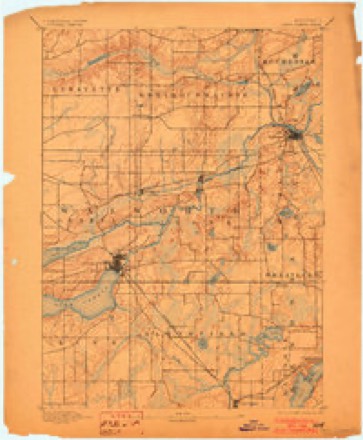
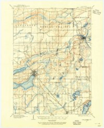
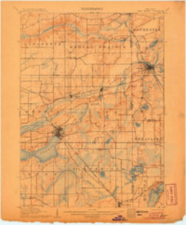
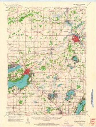
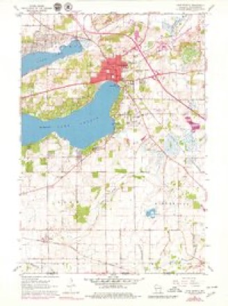
19 topographic sheets cover this place, the earliest surveyed in 1893 and the latest in 1980. It stands in Geneva town. It lies in ZIP code area 53147. The Survey maps it on the Lake Geneva quadrangle.
Topographic sheets covering this place
10 surveys from 19 printed sheetsMatched by testing this settlement's coordinate against the published boundary of every sheet in the United States Geological Survey's historical collection. Each opens the scanned sheet at the Survey.
- 1893 USGS Geneva quadrangle1:62500, 2 printings
- 1904 USGS Lake Geneva quadrangle1:62500
- 1906 USGS Lake Geneva quadrangle1:62500, 4 printings
- 1954 USGS Rockford quadrangle1:250000
- 1955 USGS Rockford quadrangle1:250000
- 1958 USGS Rockford quadrangle1:250000, 4 printings
- 1960 USGS Lake Geneva quadrangle1:62500
- 1960 USGS Lake Geneva quadrangle1:24000, 3 printings
- 1963 USGS Rockford quadrangle1:250000
- 1980 USGS Lake Geneva quadrangle1:100000





In the county-history sources
15,313 words on this townshipHistory of Walworth County, Wisconsin, Containing an Account of Its Settlement, Growth, Development and Resources...its War Record, Biographical Sketches, Portraits of Prominent Men and Early Settlers; the Whole Preceded by a History of Wisconsin...and an Abstract of Its Laws and Constitution.., published 1882 names this settlement in its chapter on Geneva Town. These are the passages that mention it, exactly as the scans read.
The surface of the land is undulating, with occasional hills in the eastern and southeastern sections of the town. It was, when first settled, heavily wooded, the gi-owth being largely of the different varieties of oak. It is well watered by small creeks and rills threading the various sections. Jackson's Creek, which rises on the northeastern quarter of Section 3, mns southwesterly thi'ough Section 9, thence westerly through the southeast (quarter of Section 8 and the northwest quarter of Section 9, leaving the township on Section 7. It finally empties into Delavan Lake. Another creek has its source on Section 2, runs in a southerly direction through Sections 11, 14 and 23, and joins the creek near the outlet of Lake Como (Duck Lake). From the outlet of Lake Como, Como Creek inins northeasterly thi-ough Section 24, emptying into White Biver in the adjoining town of Lyons. The southwestern section, where stands the beautiful village of Geneva Lake, is watered by the stream flowing from the outlet of Geneva Lake, the source of White River.
Passage source: History of Walworth County, Wisconsin, Containing an Account of Its Settlement, Growth, Development and Resources...its War Record, Biographical Sketches, Portraits of Prominent Men and Early Settlers; the Whole Preceded by a History of Wisconsin...and an Abstract of Its Laws and Constitution.., published 1882.
Lake Como (formerly known as Duck Lake) lies in the southeiTu part of the town. Its eastern extremity and outlet is on Section 26. It extends thi'ough Sections 27 and 28, the southeast corner of 29 and the northeast quarter of Section 32. It is three miles long, and averages half a mile in width. Geneva Lake, the most charming of all the lakes of Southern Wisconsin, extends all along the southern border of the town, the bay at its outlet lying in Section 36.
Passage source: History of Walworth County, Wisconsin, Containing an Account of Its Settlement, Growth, Development and Resources...its War Record, Biographical Sketches, Portraits of Prominent Men and Early Settlers; the Whole Preceded by a History of Wisconsin...and an Abstract of Its Laws and Constitution.., published 1882.
After the settlement with the contesting claimants, Payne remained but a few months at Geneva Village. Before the mill was completed, he sold out his interest, and, in January, 1837, took up a new claim at the outlet of Duck Lake (now Lake Como), about two miles from the village, where he removed his family. There he built a saw-mill at a cost of some $1,500. His dam was near the crossing of the Elkhorn and Geneva road. It lasted, with some repairs, till 1858, at which time a freshet dilapidated it beyond hope of repair.
Passage source: History of Walworth County, Wisconsin, Containing an Account of Its Settlement, Growth, Development and Resources...its War Record, Biographical Sketches, Portraits of Prominent Men and Early Settlers; the Whole Preceded by a History of Wisconsin...and an Abstract of Its Laws and Constitution.., published 1882.
Machine-read from a century-old scan, so expect the errors a machine makes: misspelled names, dropped words, stray characters.
Read the whole chapter on Geneva Town - it names this place 3 more 3 times.
Fires near this place
16 since 2012Regional context, not property-specific evidence. The federal wildfire occurrence database lists 16 fires within 5 miles of Como between 2012 and 2020, burning about 57 acres in total. None started naturally. 2 were recorded as arson. Distance is straight-line from the map coordinates, so a fire counted here may appear on a neighbouring settlement's page as well.
| Reported cause | Fires |
|---|---|
| Debris and open burning | 8 |
| Missing data/not specified/undetermined | 5 |
| Arson/incendiarism | 2 |
| Power generation/transmission/distribution | 1 |
The most recent of them, most recent first, with the day each was reported and the service that recorded it.
| Date | Cause | Size | Reported by | Name on the report |
|---|---|---|---|---|
| 15 July 2019 | Debris and open burning | 1.0 acres | Wisconsin Department of Natural Resources | 297 |
| 3 June 2018 | Missing data/not specified/undetermined | 1.0 acres | Wisconsin Department of Natural Resources | 222 |
| 8 May 2018 | Missing data/not specified/undetermined | under an acre | Wisconsin Department of Natural Resources | 1800429 |
| 30 April 2018 | Missing data/not specified/undetermined | under an acre | Wisconsin Department of Natural Resources | 1800394 |
| 30 April 2018 | Debris and open burning | 5.0 acres | Wisconsin Department of Natural Resources | 175 |
| 28 April 2018 | Debris and open burning | 1.0 acres | Wisconsin Department of Natural Resources | 171 |
| 23 April 2019 | Debris and open burning | under an acre | Wisconsin Department of Natural Resources | 125 |
| 22 April 2018 | Debris and open burning | 1.0 acres | Wisconsin Department of Natural Resources | 1800363 |
Settlements close enough to share some of these fires:
Mines and quarries near this place
5 within 5 milesRegional context, not property-specific evidence. The federal mineral resources record lists 5 workings within 5 miles of Como: 4 producers, 1 past producer. 4 still produce. What was taken out: Sand and Gravel, Construction. Distance is straight-line from the map coordinates, so a quarry counted here may appear on a neighbouring settlement's page as well.
| Where | Site | Commodity | Status | Recorded |
|---|---|---|---|---|
| Devil's Hill Pit | Sand and Gravel, Construction | Producer | ||
| Home Pit | Sand and Gravel, Construction | Producer | ||
| Mann Brothers, Inc. | Sand and Gravel, Construction | Past Producer | ||
| Ryan Pit | Sand and Gravel, Construction | Producer | ||
| Williams Bay Pit | Sand and Gravel, Construction | Producer |
Storms near this place
8 since 2004Regional context, not property-specific evidence. The National Weather Service names Como in 8 storm reports between 2004 and 2023: 5 hail, 2 thunderstorm wind, 1 tornado. No death or injury is recorded in these reports. Each account below is quoted exactly as the forecast office filed it, from the NOAA Storm Events Database, and each date opens the federal record of that event.
| When | Event | Place named | Harm | What the report says |
|---|---|---|---|---|
| March 2023 | Tornado (EF0) | Como | $100,000 | Tornado damage started at the Geneva National Golf Club and went due north along Prairie Rd and County Rd H. The most substantial damage was to a storage facility which had a high volume of roofing material lofted about a mile north of the facility. |
| March 2004 | Thunderstorm Wind | Como | $1,000 | no account filed |
| July 2011 | Thunderstorm Wind | Como | - | A wet microburst from a severe thunderstorm produced wind gusts estimated up to 50 knots (58 mph) that dropped trees and downed power lines along the north and south shores of Lake Como to the northern shore of Lake Geneva. Trees ended up falling onto 6 homes, damaging shingles and siding. The dock at the Mars Resort on Lake Como was destroyed when a tree fell on the dock. |
| September 2021 | Hail | Como | - | no account filed |
| September 2021 | Hail | Como | - | no account filed |
| June 2019 | Hail | Como | - | no account filed |
| June 2019 | Hail | Como | - | no account filed |
| September 2012 | Hail | Como | - | no account filed |
Nearest settlements
The eight closest, with where each one stands in the county. Distances are straight-line, computed from the Geographic Names Information System coordinates.
| Map | Place | Distance | Sheets |
|---|---|---|---|
| Lake Como | 1.8 miles | 19 | |
| Lake Geneva | 3.0 miles | 19 | |
| Williams Bay | 3.9 miles | 19 | |
| Shady Side (historical) | 4.1 miles | 19 | |
| East Delavan | 4.2 miles | 19 | |
| Springfield | 4.2 miles | 19 | |
| Elkhorn | 5.3 miles | 19 | |
| Linton | 5.5 miles | 19 |
Provenance
This settlement is recorded in the Geographic Names Information System as feature 1563298. The sheet list is computed by point-in-boundary test against the United States Geological Survey's historical topographic inventory. Both are works of the United States government and carry no copyright under 17 U.S.C. 105.
Wildfire. Short, Karen C. 2022. Spatial wildfire occurrence data for the United States, 1992-2020 [FPA_FOD_20221014]. 6th Edition. Fort Collins, CO: Forest Service Research Data Archive. https://doi.org/10.2737/RDS-2013-0009.6 Collected with United States Government funding and usable without additional permissions or fees.
Mines and quarries. USGS Mineral Resources Data System (MRDS) https://mrdata.usgs.gov/mrds/ A work of the United States government, no copyright under 17 U.S.C. 105.
Storms. NOAA National Centers for Environmental Information, Storm Events Database https://www.ncei.noaa.gov/stormevents/ A work of the United States government, no copyright under 17 U.S.C. 105. Narratives are quoted verbatim from the National Weather Service report and are not edited or summarised.