 Block
Farmington, Wisconsin
18 topographic sheets cover this place, the earliest surveyed in 1892 and the latest in 1991. It stands in Farmington town. It lies in ZIP code area 53094. The Survey maps it on the Helenville quadrangle. It stands 876 feet above sea level.
Topographic sheets covering this place
8 surveys from 18 printed sheetsMatched by testing this settlement's coordinate against the published boundary of every sheet in the United States Geological Survey's historical collection. Each opens the scanned sheet at the Survey.
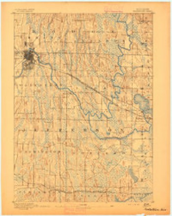
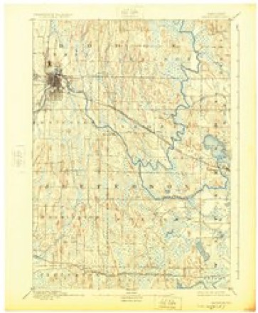
- 1892 USGS Watertown quadrangle1:62500
- 1894 USGS Watertown quadrangle1:62500, 5 printings
- 1957 USGS Madison quadrangle1:250000, 3 printings
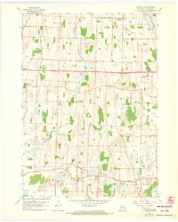
- 1959 USGS Helenville quadrangle1:24000, 2 printings
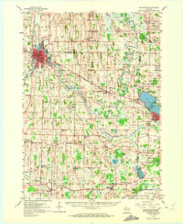
- 1959 USGS Watertown quadrangle1:62500, 3 printings
- 1960 USGS Madison quadrangle1:250000, 2 printings
- 1984 USGS Oconomowoc quadrangle1:100000
- 1991 USGS Oconomowoc quadrangle1:100000


In the county-history sources
1,350 words on this townshipThe History of Jefferson County, Wisconsin, Containing ... Biographical Sketches .., published 1879 names this settlement in its chapter on Farmington Town. These are the passages that mention it, exactly as the scans read.
There is no positive knowledge of an earlier settlement in what is now the town of Farmington, than that made by Timothy Johnson in 1838, two years after he had located at Watertown. Charles Dunning settled at an early day in the eastern portion of Farmington, and is said by some to have built the first log house in the town. Johnson and Charles Goodhue made a joint claim where the pretentious village of Johnson's Creek now stands, and built a cabin on ground over which the track of the North-Western Railway now runs, and nearly opposite the present residence of G. C. Mansfield. A dam and saw-mill were also built by Messrs. Johnson and Goodhue. This mill property afterward came into the possession, at various times, of the following individuals : Samuel Ward, a Mr. Thomas, Ansel Bullis, Mr. Currier and Benjamin Douglass, the latter of whom rebuilt it. When Mr. and Mrs. Douglass came to Johnson's Creek in 1842, there were but two houses in the place, one being occupied by Samuel Ward, and the other by his nephew William. The nearest post office was Aztalan. Provisions were to be obtained at no nearer point than Janesville and Milwaukee. Mrs. D. remembers being obliged to send to the latter place for 2.5 cents' worth of thread.
Passage source: The History of Jefferson County, Wisconsin, Containing ... Biographical Sketches .., published 1879.
Johnson's Creek was known as Belleville as late as 1873, but always bore its present name as a post office. It was called Belleville in honor of Charles Bell, who owned a considerable portion of the land whereon the village stands. It is situated on the town line between the towns of Aztalan and Farmington, and was formerly on the old Military or Territorial Road.
Passage source: The History of Jefferson County, Wisconsin, Containing ... Biographical Sketches .., published 1879.
Machine-read from a century-old scan, so expect the errors a machine makes: misspelled names, dropped words, stray characters.
Fires near this place
5 since 2012Regional context, not property-specific evidence. The federal wildfire occurrence database lists 5 fires within 5 miles of Farmington between 2012 and 2020, burning about 58 acres in total. None started naturally. None was recorded as arson. Distance is straight-line from the map coordinates, so a fire counted here may appear on a neighbouring settlement's page as well.
| Reported cause | Fires |
|---|---|
| Debris and open burning | 4 |
| Equipment and vehicle use | 1 |
The most recent of them, most recent first, with the day each was reported and the service that recorded it.
| Date | Cause | Size | Reported by | Name on the report |
|---|---|---|---|---|
| 19 September 2012 | Debris and open burning | 20 acres | Wisconsin Department of Natural Resources | not named |
| 27 April 2018 | Debris and open burning | under an acre | Wisconsin Department of Natural Resources | 153 |
| 24 April 2018 | Debris and open burning | 2.0 acres | Wisconsin Department of Natural Resources | 149 |
| 18 March 2018 | Debris and open burning | 35 acres | Wisconsin Department of Natural Resources | 104 |
| 17 October 2020 | Equipment and vehicle use | 1.0 acres | Wisconsin Department of Natural Resources | 2054 |
Settlements close enough to share some of these fires:
Mines and quarries near this place
1 within 5 milesRegional context, not property-specific evidence. The federal mineral resources record lists 1 working within 5 miles of Farmington: 1 past producer. None of them still produces. What was taken out: Sand and Gravel, Construction. Distance is straight-line from the map coordinates, so a quarry counted here may appear on a neighbouring settlement's page as well.
| Where | Site | Commodity | Status | Recorded |
|---|---|---|---|---|
| Janke Pit | Sand and Gravel, Construction | Past Producer |
Storms near this place
5 since 1995Regional context, not property-specific evidence. The National Weather Service names Farmington in 5 storm reports between 1995 and 2010: 2 thunderstorm wind, 1 hail, 1 heavy rain, 1 tornado. No death or injury is recorded in these reports. Each account below is quoted exactly as the forecast office filed it, from the NOAA Storm Events Database, and each date opens the federal record of that event.
| When | Event | Place named | Harm | What the report says |
|---|---|---|---|---|
| September 1999 | Thunderstorm Wind | Farmington | $2,000 | no account filed |
| July 2007 | Thunderstorm Wind | Farmington | $1,000 | Gusty winds up to an estimated 43 knots (50 mph) accompanied heavy downpours of rain northeast of Farmington. Lawn furniture was over-turned, a wooden garden structure was damaged, and a light pole was pushed over. |
| July 2010 | Tornado (EF0) | Farmington | - | A trained spotter saw a brief tornado in a swampy marsh about 1.75 miles southeast of Farmington, about 1/2 mile west of Hillside Drive. The spotter observed a swirling, wispy, water-like spray. Little movement was noted by the spotter before the tornado dissipated. The tornado was given an estimated rating of EF0 with a maximum wind speed of 65 mph. The exact location is Lat 43.05803 and Lon -88.64837. |
| July 2007 | Heavy Rain | Farmington | - | Three rounds of thunderstorms, spread out over about 3.5 hours, visited the same area northeast of Farmington during the morning hours, resulting in 4.6 inches of rain at one location. The heavy rains generated water depths of 1 foot in backyards, while roads only had a few inches of water cover. Several backyards in this area resembled small inland lakes for a couple hours. |
| August 1995 | Hail | Farmington | - | no account filed |
Nearest settlements
The eight closest, with where each one stands in the county. Distances are straight-line, computed from the Geographic Names Information System coordinates.
| Map | Place | Distance | Sheets |
|---|---|---|---|
| Concord | 3.9 miles | 18 | |
| Helenville | 4.7 miles | 18 | |
| Pipersville | 4.7 miles | 19 | |
| Spacious Acres | 4.9 miles | 18 | |
| Johnson Creek | 5.4 miles | 15 | |
| Ebenezer | 5.5 miles | 19 | |
| Ixonia | 6.1 miles | 18 | |
| Sullivan | 6.2 miles | 18 |
Elsewhere
Matched on this settlement's Geographic Names Information System number rather than its name, so it cannot be a different place of the same name in another state.
| Wikipedia article on Farmington | An encyclopaedic summary. Its text is share-alike, so it is linked here rather than copied. |
| Wikidata item Q5435878 | The structured record the population and elevation above come from. Public domain (CC0). |
Provenance
This settlement is recorded in the Geographic Names Information System as feature 1564867. The sheet list is computed by point-in-boundary test against the United States Geological Survey's historical topographic inventory. Both are works of the United States government and carry no copyright under 17 U.S.C. 105.
Wildfire. Short, Karen C. 2022. Spatial wildfire occurrence data for the United States, 1992-2020 [FPA_FOD_20221014]. 6th Edition. Fort Collins, CO: Forest Service Research Data Archive. https://doi.org/10.2737/RDS-2013-0009.6 Collected with United States Government funding and usable without additional permissions or fees.
Mines and quarries. USGS Mineral Resources Data System (MRDS) https://mrdata.usgs.gov/mrds/ A work of the United States government, no copyright under 17 U.S.C. 105.
Storms. NOAA National Centers for Environmental Information, Storm Events Database https://www.ncei.noaa.gov/stormevents/ A work of the United States government, no copyright under 17 U.S.C. 105. Narratives are quoted verbatim from the National Weather Service report and are not edited or summarised.