 Block
Ebenezer, Wisconsin
19 topographic sheets cover this place, the earliest surveyed in 1892 and the latest in 1991. It stands in Watertown town. It lies in ZIP code area 53094. The Survey maps it on the Watertown quadrangle. It stands 856 feet above sea level.
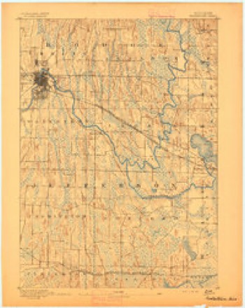
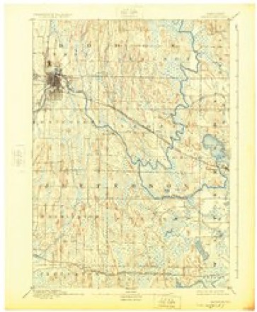
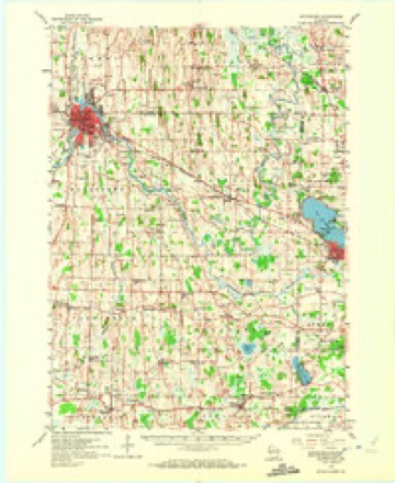
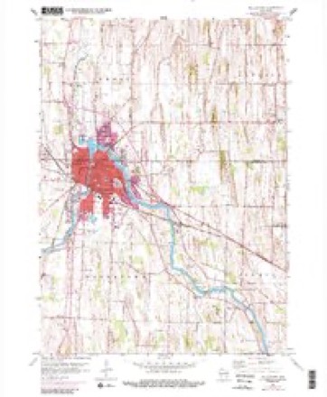
Topographic sheets covering this place
8 surveys from 19 printed sheetsMatched by testing this settlement's coordinate against the published boundary of every sheet in the United States Geological Survey's historical collection. Each opens the scanned sheet at the Survey.
- 1892 USGS Watertown quadrangle1:62500
- 1894 USGS Watertown quadrangle1:62500, 5 printings
- 1957 USGS Madison quadrangle1:250000, 3 printings
- 1959 USGS Watertown quadrangle1:62500, 3 printings
- 1959 USGS Watertown quadrangle1:24000, 3 printings
- 1960 USGS Madison quadrangle1:250000, 2 printings
- 1984 USGS Oconomowoc quadrangle1:100000
- 1991 USGS Oconomowoc quadrangle1:100000


In the county-history sources
35,675 words on this townshipThe History of Jefferson County, Wisconsin, Containing ... Biographical Sketches .., published 1879 names this settlement in its chapter on Watertown Town. These are the passages that mention it, exactly as the scans read.
JOHN W. COLiE, Watertown ; is the third son of Ebenezer Cole, and brother of Luther A. Cole, whose biography precedes this one, and was born the 2Sth day of December, 1814, in Charleston, Orlean.s Co., Vt. ; until the age of 22, he worked upon the farm of his parents, and with his father at his trade of carpenter and joiner. In the fall of 1836, he started West, and first came to Milwaukee, where he remained until January, 1837, cutting timber on the Milwaukee River, when he moved to Watertown, making the trip with ox-teams, carrying flour and pork, and with his brother, Luther A., and five others, kept what was called the " bachelor's distress '" for four years. He engaged with his brother in the general merchandise business, having built the first store in Watertown. Having dissolved partnership with his brother, Mr. Cole built a store on the north corner of Second and Main streets, and carried on a general merchandise business for about fifteen years, part of this time being also engaged in the manufacture of saleratus and potash. In 1854, he built the block of stores on the southeast corner of Second and Main streets, since which time Mr. Cole has lived retired from active business in Watertown. For two years he held, in Osage Co., while living there, the oiEce of County Commissioner. In 1855, he held the oflSce of Mayor of Watertown, and has also been Supervisor of Jefl'erson Co. He married Miss Eliza C. Fisk (daughter of James L. and Laura Fisk, of the State of New York) Nov. 19, 1844; they had three children, one living - Oscar A., aad two deceased - one named Johnnie, the other dying in infancy.
Passage source: The History of Jefferson County, Wisconsin, Containing ... Biographical Sketches .., published 1879.
Machine-read from a century-old scan, so expect the errors a machine makes: misspelled names, dropped words, stray characters.
Fires near this place
18 since 2010Regional context, not property-specific evidence. The federal wildfire occurrence database lists 18 fires within 5 miles of Ebenezer between 2010 and 2020, burning about 28 acres in total. 2 started naturally. None was recorded as arson. Distance is straight-line from the map coordinates, so a fire counted here may appear on a neighbouring settlement's page as well.
| Reported cause | Fires |
|---|---|
| Missing data/not specified/undetermined | 9 |
| Debris and open burning | 5 |
| Natural | 2 |
| Smoking | 1 |
| Equipment and vehicle use | 1 |
The most recent of them, most recent first, with the day each was reported and the service that recorded it.
| Date | Cause | Size | Reported by | Name on the report |
|---|---|---|---|---|
| 19 September 2012 | Debris and open burning | 20 acres | Wisconsin Department of Natural Resources | not named |
| 30 August 2019 | Debris and open burning | under an acre | Wisconsin Department of Natural Resources | 1901800 |
| 20 August 2020 | Equipment and vehicle use | under an acre | Wisconsin Department of Natural Resources | 2001619 |
| 15 June 2018 | Natural | 1.0 acres | Wisconsin Department of Natural Resources | 1801158 |
| 30 May 2018 | Natural | under an acre | Wisconsin Department of Natural Resources | 1801057 |
| 30 April 2018 | Missing data/not specified/undetermined | under an acre | Wisconsin Department of Natural Resources | 1800842 |
| 29 April 2018 | Missing data/not specified/undetermined | under an acre | Wisconsin Department of Natural Resources | 1804119 |
| 27 April 2018 | Debris and open burning | under an acre | Wisconsin Department of Natural Resources | 153 |
Settlements close enough to share some of these fires:
Mines and quarries near this place
5 within 5 milesRegional context, not property-specific evidence. The federal mineral resources record lists 5 workings within 5 miles of Ebenezer: 4 unknowns, 1 producer. 1 still produces. What was taken out: Stone, Sand and Gravel, Construction, Stone, Crushed/Broken. Distance is straight-line from the map coordinates, so a quarry counted here may appear on a neighbouring settlement's page as well.
| Where | Site | Commodity | Status | Recorded |
|---|---|---|---|---|
| Martin Kaddatz Gravel Quarry | Stone, Crushed/Broken | Producer | ||
| Schmidt Pit | Sand and Gravel, Construction | Unknown | ||
| City of Watertown Quarry | Stone | Unknown | ||
| Own Crews | Stone | Unknown | ||
| Watertown Quarry | Stone | Unknown |
Nearest settlements
The eight closest, with where each one stands in the county. Distances are straight-line, computed from the Geographic Names Information System coordinates.
| Map | Place | Distance | Sheets |
|---|---|---|---|
| Grellton | 2.7 miles | 15 | |
| Watertown | 3.9 miles | 19 | |
| Pipersville | 4.7 miles | 19 | |
| Johnson Creek | 4.7 miles | 15 | |
| Farmington | 5.5 miles | 18 | |
| Milford | 6.3 miles | 15 | |
| Ixonia | 7.5 miles | 18 | |
| Jefferson Junction | 7.5 miles | 15 |
Elsewhere
Matched on this settlement's Geographic Names Information System number rather than its name, so it cannot be a different place of the same name in another state.
| Wikipedia article on Ebenezer | An encyclopaedic summary. Its text is share-alike, so it is linked here rather than copied. |
| Wikidata item Q5331635 | The structured record the population and elevation above come from. Public domain (CC0). |
Provenance
This settlement is recorded in the Geographic Names Information System as feature 1577585. The sheet list is computed by point-in-boundary test against the United States Geological Survey's historical topographic inventory. Both are works of the United States government and carry no copyright under 17 U.S.C. 105.
Wildfire. Short, Karen C. 2022. Spatial wildfire occurrence data for the United States, 1992-2020 [FPA_FOD_20221014]. 6th Edition. Fort Collins, CO: Forest Service Research Data Archive. https://doi.org/10.2737/RDS-2013-0009.6 Collected with United States Government funding and usable without additional permissions or fees.
Mines and quarries. USGS Mineral Resources Data System (MRDS) https://mrdata.usgs.gov/mrds/ A work of the United States government, no copyright under 17 U.S.C. 105.