 Block
Genoa, Wisconsin
11 topographic sheets cover this place, the earliest surveyed in 1926 and the latest in 1990. It stands in Genoa town. It lies in ZIP code area 54632. It lies near Italian Hollow. The Survey maps it on the Genoa quadrangle. 232 people lived here at the 2020 count. It stands 804 feet above sea level.
Population over time
2 figuresGenoa fell from 253 to 232 between 2010 and 2020. These are the recorded population figures Wikidata holds for this place, reached through the Geographic Names Information System number this page is keyed on rather than by name, so they belong to this place and not to another of the same name. Most are census counts, but not all are: an early figure may be a founding or settlement estimate, and an estimate published within five years of a census is left out. The change column is computed, and is left blank where more than 20 years separate a figure from the one before it, because a gap that long is not a change between two counts.
| Year | People | Change |
|---|---|---|
| 2010 | 253 | |
| 2020 | 232 | -21 (-8%) |
Topographic sheets covering this place
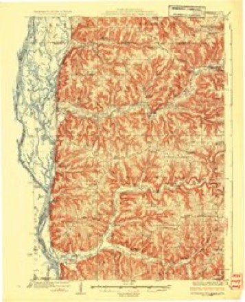
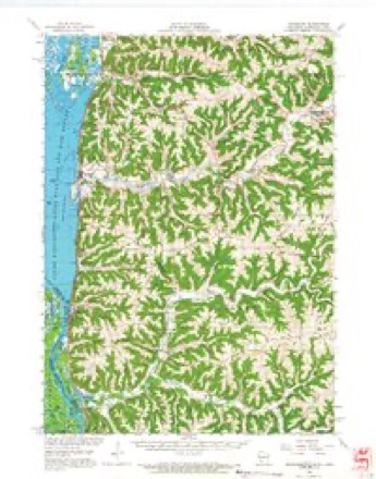
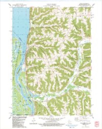
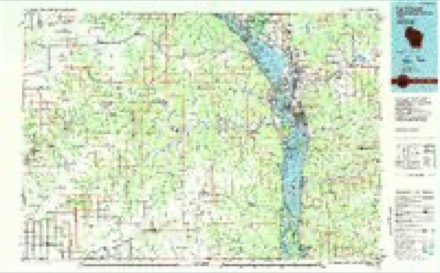
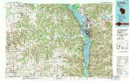
9 surveys from 11 printed sheetsMatched by testing this settlement's coordinate against the published boundary of every sheet in the United States Geological Survey's historical collection. Each opens the scanned sheet at the Survey.
- 1926 USGS Stoddard quadrangle1:62500, 2 printings
- 1958 USGS La Crosse quadrangle1:250000, 2 printings
- 1961 USGS La Crosse quadrangle1:250000
- 1965 USGS La Crosse quadrangle1:250000
- 1965 USGS Stoddard quadrangle1:62500
- 1976 USGS La Crosse quadrangle1:250000
- 1983 USGS Genoa quadrangle1:24000
- 1984 USGS La Crosse quadrangle1:100000
- 1990 USGS La Crosse quadrangle1:100000




In the county-history sources
4,064 words on this townshipHistory of Vernon County, Wisconsin .., published 1884 names this settlement in its chapter on Genoa Town. These are the passages that mention it, exactly as the scans read.
Genoa was organized in the spring of 1870, a portion of it being taken from the town of Bergen and a part from the town of Wheatland. It is bounded on the north by the towns of Bergen and Harmony, on the east by the towns of Harmony and Sterling, on the south by Wheatland town, and on the west by the Mississippi river. It is seven miles in distance north and soutii and six miles from east to west, and comprises territory embraced within congressional townships 1-2 and 13, ranges C and 7 west. It contains an area of about 24,000 acres.
Passage source: History of Vernon County, Wisconsin .., published 1884.
Maj. N. W. Hamilton was one of the settlers of 1S5S. He was born in Fayette Co., Ind., in 1820, and settled in the town of Jefferson, this county, in 1854, where he entered land which he afterward sold to Ramsey and Miller, and then entered eighty acres of land in the town of Genoa, on section 4, moving there in 1858. Mr. Hamilton was married to Alnudia Clark, in 1853, by whom lie has four children - Emla, Isabell, Irila and Jenett. He was the first school treasurer of the town of Genoa, and held the office for eleven years.
Passage source: History of Vernon County, Wisconsin .., published 1884.
Elijah Powell, who was born in 1820, in Mercer Co., Ohio, came to this town in 1865, and purchased 160 acres of land on section 4, town 13, range 7. He was married in 1842 to Mary Rayner, who died in 1843. In 1814 Mr. Powell married Martha McKee, who died in 1854, and in 1862 he again married a Miss Shelby. Mr. Powell has been the father of seven children.
Passage source: History of Vernon County, Wisconsin .., published 1884.
Machine-read from a century-old scan, so expect the errors a machine makes: misspelled names, dropped words, stray characters.
Read the whole chapter on Genoa Town - it names this place 30 more 30 times.
Fires near this place
14 since 1996Regional context, not property-specific evidence. The federal wildfire occurrence database lists 14 fires within 5 miles of Genoa between 1996 and 2020, burning about 12 acres in total. None started naturally. 3 were recorded as arson. Distance is straight-line from the map coordinates, so a fire counted here may appear on a neighbouring settlement's page as well.
| Reported cause | Fires |
|---|---|
| Debris and open burning | 7 |
| Missing data/not specified/undetermined | 3 |
| Arson/incendiarism | 3 |
| Equipment and vehicle use | 1 |
The most recent of them, most recent first, with the day each was reported and the service that recorded it.
| Date | Cause | Size | Reported by | Name on the report |
|---|---|---|---|---|
| 11 May 1997 | Missing data/not specified/undetermined | 1.0 acres | Minnesota Department of Natural Resources | not named |
| 6 April 1996 | Debris and open burning | under an acre | Minnesota Department of Natural Resources | not named |
| 28 April 2018 | Missing data/not specified/undetermined | 5.0 acres | Wisconsin Department of Natural Resources | 332018 |
| 23 April 2018 | Debris and open burning | 2.0 acres | Wisconsin Department of Natural Resources | 302018 |
| 8 March 1999 | Arson/incendiarism | under an acre | Minnesota Department of Natural Resources | not named |
| 6 March 2000 | Arson/incendiarism | under an acre | Minnesota Department of Natural Resources | not named |
| 28 March 2018 | Debris and open burning | under an acre | Wisconsin Department of Natural Resources | 34 |
| 18 March 2018 | Debris and open burning | 1.0 acres | Wisconsin Department of Natural Resources | 32 |
Settlements close enough to share some of these fires:
Storms near this place
30 since 1996Regional context, not property-specific evidence. The National Weather Service names Genoa in 30 storm reports between 1996 and 2025: 10 thunderstorm wind, 10 hail, 4 heavy rain, 4 flood. No death or injury is recorded in these reports. Each account below is quoted exactly as the forecast office filed it, from the NOAA Storm Events Database, and each date opens the federal record of that event.
| When | Event | Place named | Harm | What the report says |
|---|---|---|---|---|
| May 2024 | Thunderstorm Wind | Genoa | $50,000 | Emergency Management reported power lines down on Highway 35 and 56. |
| July 2024 | Flood | Genoa | $25,000 | Significant rainfall throughout June pushed the Mississippi River at Genoa into flood stage in June and continued into July. The river stage crested during the evening on July 4th in moderate flood stage at 634.20 ft. |
| June 1998 | Hail | Genoa | $25,000 | no account filed |
| June 1999 | Thunderstorm Wind | Genoa | $20,000 | no account filed |
| June 1998 | Hail | Genoa | $18,000 | no account filed |
| September 2012 | Thunderstorm Wind | Genoa | $10,000 | Numerous trees were blown down from Genoa to De Soto and locations to the east. |
| May 1998 | Thunderstorm Wind | Genoa | $8,000 | no account filed |
| September 2005 | Thunderstorm Wind | Genoa | $2,500 | no account filed |
| September 2018 | Flash Flood | Genoa | $2,000 | Runoff from heavy rain caused a mudslide to occur along State Highway 35 near Genoa where flooding occurred along the small creek that runs through town. |
| June 2013 | Flash Flood | Genoa | $2,000 | A minor mud slide just south of Genoa covered part of State Highway 35. |
| April 2011 | Thunderstorm Wind | Genoa | $1,500 | Power lines were blown down on Mound Ridge Road. |
| March 2005 | Thunderstorm Wind | Genoa | $750 | no account filed |
| July 2002 | Thunderstorm Wind | Genoa | $750 | no account filed |
| May 2025 | Hail | Genoa | - | The public reported penny sized hail about 3 miles south of Genoa. |
| May 2025 | Hail | Genoa | - | The public reported quarter sized hail about 3 miles south of Genoa. The report was relayed via social media. |
| June 2024 | Flood | Genoa | - | Significant rainfall throughout June pushed the Mississippi River at Genoa into flood stage very late on June 23rd. The river stage continued to rise through the end of the month while remaining in minor flood stage. |
| April 2023 | Flood | Genoa | - | Significant upstream runoff from the combination of rainfall and melting snow pushed the Mississippi River at Genoa into flood stage on April 17th. The crest of 635.72 ft above sea level on April 27 was 4.72 ft over flood stage. Water flowed through Genoa Park and into Water Street. Lock & Dam 8 in Genoa was closed, as was Blackhawk Island a few miles downstream in De Soto. The increased flow also resulted in multiple train cars being carried downstream during a train derailment near De Soto on April 27th. Flooded roadside ditches made further recovery efforts into May more challenging. |
| May 2023 | Flood | Genoa | - | Significant upstream runoff from the combination of heavy rainfall and rapidly melting snow resulted in the fourth highest crest on record at the Genoa Dam towards the end of April. Water rose over Genoa Park downtown and neighboring streets. Subsequent dry conditions allowed the Mississippi River to slowly recede and drop below minor flood stage at Genoa Dam on May 9th. |
| June 2021 | Hail | Genoa | - | Quarter sized hail fell in Genoa. |
| August 2018 | Heavy Rain | Genoa | - | Near Genoa, 7.75 inches of rain fell. |
| June 2013 | Heavy Rain | Genoa | - | The COOP observer at the Genoa Lock and Dam reported 3.2 inches of rain. |
| April 2013 | Heavy Rain | Genoa | - | The COOP observer in Genoa reported 3 inches of rain. |
| September 2010 | Heavy Rain | Genoa | - | The total rainfall amounted to 4.43 inches. Of the 3.90 inch total that fell north of Stoddard, 1.38 inches fell between the hours of 6 p.m. and 7:30 p.m. CST on the 22nd. Other amounts around the county included 3.59 inches near Westby and 3.49 inches in Ontario. |
| July 2021 | Hail | Genoa | - | no account filed |
| September 2012 | Hail | Genoa | - | no account filed |
| August 2006 | Hail | Genoa | - | no account filed |
| July 2005 | Thunderstorm Wind | Genoa | - | no account filed |
| May 2000 | Hail | Genoa | - | no account filed |
| June 1998 | Hail | Genoa | - | no account filed |
| June 1996 | Thunderstorm Wind | Genoa | - | no account filed |
Nearest settlements
The eight closest, with where each one stands in the county. Distances are straight-line, computed from the Geographic Names Information System coordinates.
Elsewhere
Matched on this settlement's Geographic Names Information System number rather than its name, so it cannot be a different place of the same name in another state.
| Wikipedia article on Genoa | An encyclopaedic summary. Its text is share-alike, so it is linked here rather than copied. |
| Wikidata item Q2644375 | The structured record the population and elevation above come from. Public domain (CC0). |
Provenance
This settlement is recorded in the Geographic Names Information System as feature 1565460. The sheet list is computed by point-in-boundary test against the United States Geological Survey's historical topographic inventory. Both are works of the United States government and carry no copyright under 17 U.S.C. 105.
Wildfire. Short, Karen C. 2022. Spatial wildfire occurrence data for the United States, 1992-2020 [FPA_FOD_20221014]. 6th Edition. Fort Collins, CO: Forest Service Research Data Archive. https://doi.org/10.2737/RDS-2013-0009.6 Collected with United States Government funding and usable without additional permissions or fees.
Storms. NOAA National Centers for Environmental Information, Storm Events Database https://www.ncei.noaa.gov/stormevents/ A work of the United States government, no copyright under 17 U.S.C. 105. Narratives are quoted verbatim from the National Weather Service report and are not edited or summarised.