 Block
Victory, Wisconsin
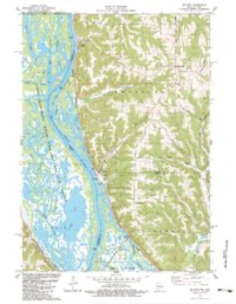
18 topographic sheets cover this place, the earliest surveyed in 1903 and the latest in 1985. It stands in Wheatland town. It lies in ZIP code area 54624. It stands on Victory Ridge. The Survey maps it on the De Soto quadrangle. It stands 650 feet above sea level.
Topographic sheets covering this place
10 surveys from 18 printed sheetsMatched by testing this settlement's coordinate against the published boundary of every sheet in the United States Geological Survey's historical collection. Each opens the scanned sheet at the Survey.
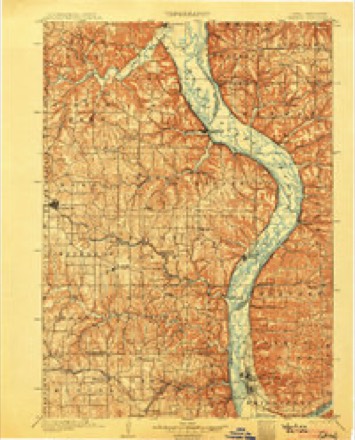
- 1903 USGS Waukon quadrangle1:125000, 5 printings
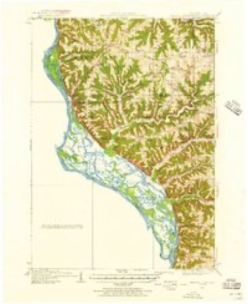
- 1929 USGS Ferryville quadrangle1:62500, 2 printings
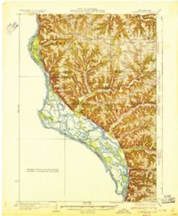
- 1932 USGS Ferryville quadrangle1:62500
- 1958 USGS La Crosse quadrangle1:250000, 2 printings
- 1961 USGS La Crosse quadrangle1:250000
- 1965 USGS La Crosse quadrangle1:250000
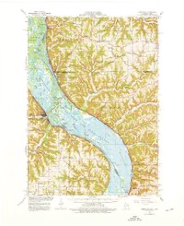
- 1966 USGS Ferryville quadrangle1:62500, 2 printings
- 1976 USGS La Crosse quadrangle1:250000
- 1983 USGS De Soto quadrangle1:24000
- 1985 USGS Decorah quadrangle1:100000, 2 printings




In the county-history sources
10,984 words on this townshipHistory of Vernon County, Wisconsin .., published 1884 names this settlement in its chapter on Wheatland Town. These are the passages that mention it, exactly as the scans read.
Ira Stevens was the first man to settle in this town. He located at Victory, ip January, 1849. Other pioneers are mentioned at length in the history of the villages of Victory and De Soto. At these two points was effected the first settlement in this town. The eastern portion of the town being settled at a much later date.
Passage source: History of Vernon County, Wisconsin .., published 1884.
The town of Wheatland has always been fully up with the other towns of Vernon county in its school and other educational advantages. The first school was taught in the fall of 1853, by Nancy Berry, daughter of Joh-i C. Berry, at a point near where the villsge of Victory now stands. In 1 884 there were six schools in the town, held in districts Nos. 1, 2, 3, 9, joint district No. 3, and at the village of De Soto.
Passage source: History of Vernon County, Wisconsin .., published 1884.
District No. 3, proper, is located on the ridge above De Soto and Victory. The building here is a fair frame structure, situated in a beautiful place overlooking the great Mississippi valley country, with its many picturesque scenes. The school population is chiefly American.
Passage source: History of Vernon County, Wisconsin .., published 1884.
Machine-read from a century-old scan, so expect the errors a machine makes: misspelled names, dropped words, stray characters.
Read the whole chapter on Wheatland Town - it names this place 18 more 18 times.
Fires near this place
3 since 2012Regional context, not property-specific evidence. The federal wildfire occurrence database lists 3 fires within 5 miles of Victory between 2012 and 2020, burning about 168 acres in total. None started naturally. None was recorded as arson. Distance is straight-line from the map coordinates, so a fire counted here may appear on a neighbouring settlement's page as well.
| Reported cause | Fires |
|---|---|
| Debris and open burning | 2 |
| Equipment and vehicle use | 1 |
The most recent of them, most recent first, with the day each was reported and the service that recorded it.
| Date | Cause | Size | Reported by | Name on the report |
|---|---|---|---|---|
| 9 April 2012 | Equipment and vehicle use | 166 acres | McGregor District, Upper Mississippi River Complex | WHALEN |
| 5 April 2020 | Debris and open burning | under an acre | Wisconsin Department of Natural Resources | 232020 |
| 23 April 2018 | Debris and open burning | 2.0 acres | Wisconsin Department of Natural Resources | 302018 |
Settlements close enough to share some of these fires:
Mines and quarries near this place
4 within 5 milesRegional context, not property-specific evidence. The federal mineral resources record lists 4 workings within 5 miles of Victory: 2 producers, 1 past producer, 1 unknown. 2 still produce. What was taken out: Stone, Crushed/Broken, Stone. Distance is straight-line from the map coordinates, so a quarry counted here may appear on a neighbouring settlement's page as well.
| Where | Site | Commodity | Status | Recorded |
|---|---|---|---|---|
| Kraemer Quarry | Stone | Unknown | ||
| Everson Quarry | Stone, Crushed/Broken | Producer | ||
| Hjelle Quarry | Stone, Crushed/Broken | Past Producer | ||
| Victory Quarry | Stone, Crushed/Broken | Producer |
Storms near this place
14 since 1996Regional context, not property-specific evidence. The National Weather Service names Victory in 14 storm reports between 1996 and 2025: 7 hail, 4 thunderstorm wind, 2 flash flood, 1 flood. The reports record 1 death. Each account below is quoted exactly as the forecast office filed it, from the NOAA Storm Events Database, and each date opens the federal record of that event.
| When | Event | Place named | Harm | What the report says |
|---|---|---|---|---|
| March 2019 | Flood | Victory | 1 killed | An elderly woman drowned in Mississippi River flood waters in the vicinity of Blackhawk Park. Sometime during the night of March 29th into the early morning hours of March 30th, the woman wandered away from her home and was swept away by flood waters. |
| August 2018 | Flash Flood | Victory | $28,300,000 | Heavy rain across the northern portion of Vernon County produced significant flash flooding. Over 200 people were evacuated in Coon Valley because of severe flooding along Coon Creek where U.S. Highway 14 and State Highway 162 were closed. All access into Coon Valley was cut off because of mudslides, washouts and closed roads. Numerous homes were severely damaged with basement walls blown out or had water several feet deep on the first floor. Much of Ontario was covered in flood waters from the Kickapoo River and Brush Creek with almost every business along Garden Street, State Highway 131 and the east end of Main Street sustaining damage. It was estimated that around 75% of the businesses in the entire village sustained some damage. The Ontario police squad car become submerged in flood waters and was destroyed. One boat rental business lost 40 canoes and 48 kayaks. Two campers along the Kickapoo River north of Rockton had to be rescued from flood waters that was neck high. Some residents were evacuated from Viola because of flooding along the Kickapoo River. A total of 350 water rescues were performed across the county. State Highway 131 was closed between Ontario and Rockton because of flood waters from the Kickapoo River where the asphalt was completely removed from the road bed in places or broken in large chunks and then moved up to eight feet from its original location. Numerous roads were closed because of the flooding or from mudslides. Flooding from Timber Coulee Creek washed out over 20 power poles north of Westby. The BNSF rail line was closed because of washouts between Stoddard and the La Crosse County line. The heavy rain and flooding caused two earthen flood control dams to fail and damaged four others. This prompted the evacuation and rescue of residents downstream from the dams, including the communities of Avalanche and Liberty. Wildcat Mountain State Park was closed because of the heavy rain as well. |
| June 1996 | Flash Flood | Victory | $250,000 | no account filed |
| August 2007 | Thunderstorm Wind | Victory | $10,000 | A tree was blown down on the roof of a house, sustaining shingle and facia damage. Power lines were also down. |
| May 2000 | Hail | Victory | $5,000 | no account filed |
| June 1997 | Thunderstorm Wind | Victory | $4,000 | no account filed |
| September 2012 | Thunderstorm Wind | Victory | $3,000 | Large trees were blown down across the far western portions of Vernon County. |
| July 2016 | Thunderstorm Wind | Victory | $1,000 | Numerous trees were blown down or shredded in about a 100 feet wide swath as intense thunderstorm winds came across Battle Island and into the Blackhawk Park campground. |
| September 2025 | Hail | Victory | - | Emergency management reported penny sized hail 1 mile northeast of Victory. |
| September 2024 | Hail | Victory | - | The public reported quarter sized hail via mPING. |
| September 2012 | Hail | Victory | - | no account filed |
| June 2008 | Hail | Victory | - | no account filed |
| August 2006 | Hail | Victory | - | no account filed |
| June 2004 | Hail | Victory | - | no account filed |
Nearest settlements
The eight closest, with where each one stands in the county. Distances are straight-line, computed from the Geographic Names Information System coordinates.
Elsewhere
Matched on this settlement's Geographic Names Information System number rather than its name, so it cannot be a different place of the same name in another state.
| Wikipedia article on Victory | An encyclopaedic summary. Its text is share-alike, so it is linked here rather than copied. |
| Wikidata item Q7927442 | The structured record the population and elevation above come from. Public domain (CC0). |
Provenance
This settlement is recorded in the Geographic Names Information System as feature 1576083. The sheet list is computed by point-in-boundary test against the United States Geological Survey's historical topographic inventory. Both are works of the United States government and carry no copyright under 17 U.S.C. 105.
Wildfire. Short, Karen C. 2022. Spatial wildfire occurrence data for the United States, 1992-2020 [FPA_FOD_20221014]. 6th Edition. Fort Collins, CO: Forest Service Research Data Archive. https://doi.org/10.2737/RDS-2013-0009.6 Collected with United States Government funding and usable without additional permissions or fees.
Mines and quarries. USGS Mineral Resources Data System (MRDS) https://mrdata.usgs.gov/mrds/ A work of the United States government, no copyright under 17 U.S.C. 105.
Storms. NOAA National Centers for Environmental Information, Storm Events Database https://www.ncei.noaa.gov/stormevents/ A work of the United States government, no copyright under 17 U.S.C. 105. Narratives are quoted verbatim from the National Weather Service report and are not edited or summarised.