 Block
Gills Rock, Wisconsin
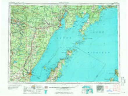
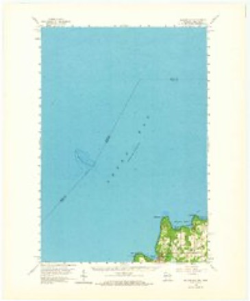
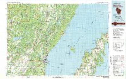
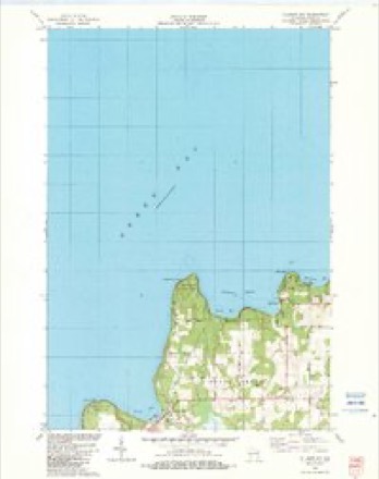
8 topographic sheets cover this place, the earliest surveyed in 1954 and the latest in 1982. It stands in Liberty Grove town. It lies in ZIP code area 54210. It sits by Table Bluff. The Survey maps it on the Ellison Bay quadrangle.
On record in Gills Rock
Buildings and businesses the archive holds for this place. Each opens its own page, with the source record it came from.
On the National Register 2 records
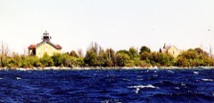 Pilot Island Lightlisted 1983
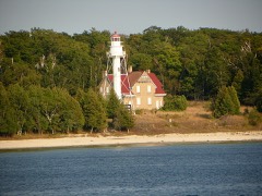 Plum Island Range Rear Lightlisted 1984
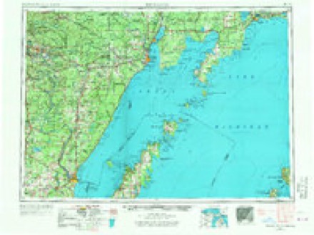
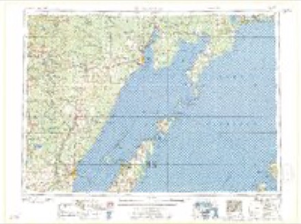
Topographic sheets covering this place
6 surveys from 8 printed sheetsMatched by testing this settlement's coordinate against the published boundary of every sheet in the United States Geological Survey's historical collection. Each opens the scanned sheet at the Survey.
- 1954 USGS Escanaba quadrangle1:250000, 2 printings
- 1957 USGS Escanaba quadrangle1:250000
- 1958 USGS Escanaba quadrangle1:250000
- 1960 USGS Ellison Bay quadrangle1:62500, 2 printings
- 1981 USGS Marinette quadrangle1:100000
- 1982 USGS Ellison Bay quadrangle1:24000
In the county-history sources
4,444 words on this townshipHistory Of Door County Wisconsin The County Beautiful, published 1917 names this settlement in its chapter on Liberty Grove Town. These are the passages that mention it, exactly as the scans read.
The waters of "the Door" bordering on the northern part of Liberty Grove have from time immemorial been a favorite fishing place. Many early fishermen have therefore, no doubt, had their homes in this part of Liberty Grove. The earliest of which we have any record is Allen Bradley, who in the early '50s had a home at Gills Rock. It is very likely he was the first permanent settler in the town. An account of him is given in a separate chapter. The next one of whom there is any knowledge was a Norwegian who at the time of the Civil war lived on top of the hill east of Gills Rock. His name was Avle Simonson and he had previously been a member of the early stone quarry colony that had a village on Door Bluff. He is remembered by few, however, as he came to a tragic end in 1877, when the town was still sparsely settled.
Passage source: History Of Door County Wisconsin The County Beautiful, published 1917.
Among the settlers who came to Ellison Bay as a result of his advertising were a number of Norwegian woodchoppers from Ephraim. These were Hans and Ole Tostenson, Martin Olson and Lars Larson. These bought land in the vicinity of Ellison Bay in the early '70s. Hans Tostenson soon opened a store and built a pier for shipping wood at Gills Rock. Here he became a person of great importance and was called the "King of Gills Rock." Andrew Weborg, another Norwegian who had bought out Allen Bradley's claim in 1874, was another man of influence at Gills Rock. This harbor, formerly known as Hedgehog Harbor, received its later name in honor of Elias Gill, a timber operator who also had a pier there and about thirteen hundred acres of land. At Newport was another pier, store, mill and postoffice. Hans Johnson and Peter Knudson, both of Danish extraction opened and operated this business. The Newport pier was built in 1879 and in 1882 a postoffice was established there.
Passage source: History Of Door County Wisconsin The County Beautiful, published 1917.
Machine-read from a century-old scan, so expect the errors a machine makes: misspelled names, dropped words, stray characters.
Fires near this place
5 since 1993Regional context, not property-specific evidence. The federal wildfire occurrence database lists 5 fires within 5 miles of Gills Rock between 1993 and 2018, burning about 3 acres in total. None started naturally. None was recorded as arson. Distance is straight-line from the map coordinates, so a fire counted here may appear on a neighbouring settlement's page as well.
| Reported cause | Fires |
|---|---|
| Debris and open burning | 3 |
| Recreation and ceremony | 1 |
| Missing data/not specified/undetermined | 1 |
The most recent of them, most recent first, with the day each was reported and the service that recorded it.
| Date | Cause | Size | Reported by | Name on the report |
|---|---|---|---|---|
| 27 August 2018 | Debris and open burning | under an acre | Wisconsin Department of Natural Resources | 379 |
| 5 July 2018 | Missing data/not specified/undetermined | 1.0 acres | Wisconsin Department of Natural Resources | 268 |
| 7 May 2018 | Debris and open burning | 1.0 acres | Wisconsin Department of Natural Resources | 172 |
| 21 November 1993 | Recreation and ceremony | under an acre | Wisconsin Department of Natural Resources | not named |
| 7 January 2018 | Debris and open burning | 1.0 acres | Wisconsin Department of Natural Resources | 10 |
Settlements close enough to share some of these fires:
Storms near this place
6 since 1995Regional context, not property-specific evidence. The National Weather Service names Gills Rock in 6 storm reports between 1995 and 2010: 5 thunderstorm wind, 1 hail. No death or injury is recorded in these reports. Each account below is quoted exactly as the forecast office filed it, from the NOAA Storm Events Database, and each date opens the federal record of that event.
| When | Event | Place named | Harm | What the report says |
|---|---|---|---|---|
| June 1998 | Thunderstorm Wind | Gills Rock | $2,000 | no account filed |
| September 2010 | Thunderstorm Wind | Gills Rock | - | Numerous trees were blown down and a 25 foot ham radio tower was blown over by thunderstorm winds just north of Ellison Bay. |
| August 1995 | Thunderstorm Wind | Gills Rock | - | A squall line moved rapidly across the northeast quarter of Wisconsin during the late morning and early afternoon hours. Trees and large limbs were downed in the Rothschild (Marathon County), Clintonville (Waupaca County), Keshena (Menominee County), and Crivitz (Marinette County) areas. Some of these trees were 125 feet tall and three-feet in diameter. In addition, three large tree limbs went through the roof of a house in Rothschild. Trees, power lines and telephone lines were downed five miles west of Wausau (Marathon County), and in the Antigo (Langlade County), Hatley (Marathon County), Mountain (Oconto County), Caroline (Shawano County), Oshkosh (Winnebago County), Green Bay (Brown County), Sturgeon Bay (Door County), Gills Rock (Door County), and Algoma (Kewaunee County) areas. A toppled large tree fell on top of vehicles near Mattoon (Shawano County), and Stevens Point (Portage County), and crushed a shed in Shawano (Shawano County). Wind gusts to 60 mph in Green Bay (Brown County) caused a large wall section of a warehouse to collapse. In addition, two tractor-semitrailers were blown off the road near Sturgeon Bay (Door County). |
| July 1999 | Thunderstorm Wind | Gills Rock | - | no account filed |
| July 1999 | Thunderstorm Wind | Gills Rock | - | no account filed |
| May 1996 | Hail | Gills Rock | - | no account filed |
Nearest settlements
The eight closest, with where each one stands in the county. Distances are straight-line, computed from the Geographic Names Information System coordinates.
| Map | Place | Distance | Sheets |
|---|---|---|---|
| Northport | 2.2 miles | 10 | |
| Ellison Bay | 3.6 miles | 8 | |
| Rowleys Bay | 4.9 miles | 8 | |
| Detroit Harbor | 6.7 miles | 10 | |
| Washington | 8.7 miles | 10 | |
| Sister Bay | 8.8 miles | 8 | |
| North Bay | 10.4 miles | 8 | |
| Ephraim | 12.0 miles | 8 |
Elsewhere
Matched on this settlement's Geographic Names Information System number rather than its name, so it cannot be a different place of the same name in another state.
| Wikipedia article on Gills Rock | An encyclopaedic summary. Its text is share-alike, so it is linked here rather than copied. |
| Wikidata item Q5562437 | The structured record the population and elevation above come from. Public domain (CC0). |
Provenance
This settlement is recorded in the Geographic Names Information System as feature 1565532. The sheet list is computed by point-in-boundary test against the United States Geological Survey's historical topographic inventory. Both are works of the United States government and carry no copyright under 17 U.S.C. 105.
Wildfire. Short, Karen C. 2022. Spatial wildfire occurrence data for the United States, 1992-2020 [FPA_FOD_20221014]. 6th Edition. Fort Collins, CO: Forest Service Research Data Archive. https://doi.org/10.2737/RDS-2013-0009.6 Collected with United States Government funding and usable without additional permissions or fees.
Storms. NOAA National Centers for Environmental Information, Storm Events Database https://www.ncei.noaa.gov/stormevents/ A work of the United States government, no copyright under 17 U.S.C. 105. Narratives are quoted verbatim from the National Weather Service report and are not edited or summarised.