 Block
Granton, Wisconsin
11 topographic sheets cover this place, the earliest surveyed in 1953 and the latest in 1984. It stands in Granton Village. It lies in ZIP code area 54436. The Survey maps it on the Granton quadrangle. 381 people lived here at the 2020 count. It stands 1,119 feet above sea level.
Population over time
2 figuresGranton grew from 355 to 381 between 2010 and 2020. These are the recorded population figures Wikidata holds for this place, reached through the Geographic Names Information System number this page is keyed on rather than by name, so they belong to this place and not to another of the same name. Most are census counts, but not all are: an early figure may be a founding or settlement estimate, and an estimate published within five years of a census is left out. The change column is computed, and is left blank where more than 20 years separate a figure from the one before it, because a gap that long is not a change between two counts.
| Year | People | Change |
|---|---|---|
| 2010 | 355 | |
| 2020 | 381 | +26 (+7%) |
Topographic sheets covering this place
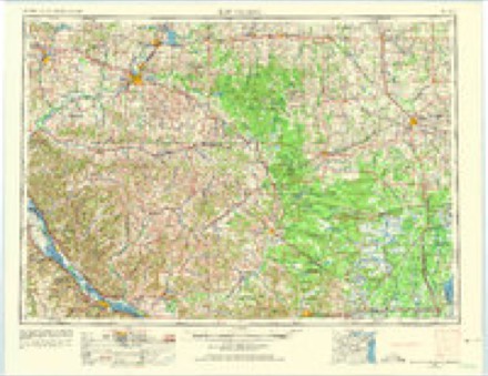
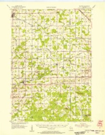
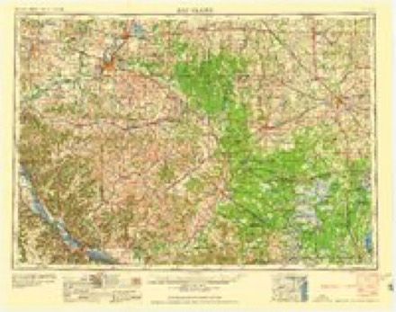
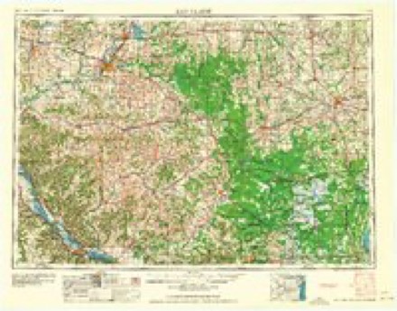
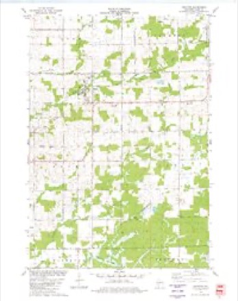
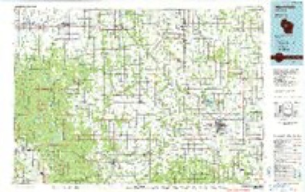
6 surveys from 11 printed sheetsMatched by testing this settlement's coordinate against the published boundary of every sheet in the United States Geological Survey's historical collection. Each opens the scanned sheet at the Survey.
- 1953 USGS Eau Claire quadrangle1:250000, 4 printings
- 1954 USGS Granton quadrangle1:62500, 2 printings
- 1958 USGS Eau Claire quadrangle1:250000
- 1964 USGS Eau Claire quadrangle1:250000
- 1979 USGS Granton quadrangle1:24000
- 1984 USGS Marshfield quadrangle1:100000, 2 printings
In the county-history sources
1,117 words on this townshipHistory of Clark County Wisconsin, published 1918 names this settlement in its chapter on Granton Village. These are the passages that mention it, exactly as the scans read.
Granton is located in Section 2, Grant Township, on the banks of O'Neill Creek, on the Chicago and Minneapolis route of the Chicago, St. Paul, Minneapolis & Omaha Railway, its important neighbors being Marshfield to the east and Neillsville to the west. The village is surrounded by gently sloping hills, and has many features which make life comfortable and prosperous. The population is about 350 persons.
Passage source: History of Clark County Wisconsin, published 1918.
The vicinity of Granton was first settled in 1856, the first pioneer being Eli Williams, soon followed by J. D. Wage and Levi Marsh, all three of whom took up war claims. The next year came Nelson Marsh, his son, Sylvester ("Vet") Marsh, born a year later, in 1858, being the first in this region to claim Clark County as his natal place. At the home of Nelson Marsh, on the old Neillsville-Steven's Point stage line, was established a tavern and postoffice, around which the hamlet of Mapleworks developed.
Passage source: History of Clark County Wisconsin, published 1918.
Efforts were made to incorporate the village of Granton on Jan. 21, 1903, some twelve years after the site was platted. In making this effort, E. A. Beecker took a census, showing a population of 313 persons, and John P. Kintzele made the survey. The prime movers in the effort were E. A. Beeckler, A. J. Knorr, F. L. Snyder, J. J. Wright, Carl Whitaker and L. A. Marsh. July 7, 1916, more than thirteen years later, H. L. Rose took the census, showing a population of 328 persons, and C. 8. Stockwell made a survey of the plat. The signers of the petition were Charles Neinas, B. F. Winn, J. M. Tompkins, L. G. Morris, Edward Schroeder, R. C. Beecher and E. R. Monser. The petition was granted by the court Sept. 2, 1916. The charter election was held at Woodman Hall, Sept. 30, 1916, in charge of Philip J. Kemmeter, Edward J. Schroeder and Price Lee. Of the total eighty-five votes cast, forty-eight were in favor of incorporating, and thirty-seven against the proposition.
Passage source: History of Clark County Wisconsin, published 1918.
Machine-read from a century-old scan, so expect the errors a machine makes: misspelled names, dropped words, stray characters.
Read the whole chapter on Granton Village - it names this place 4 more 4 times.
Fires near this place
1 since 2019Regional context, not property-specific evidence. The federal wildfire occurrence database lists 1 fire within 5 miles of Granton in 2019, burning under an acre in total. None started naturally. 1 was recorded as arson. Distance is straight-line from the map coordinates, so a fire counted here may appear on a neighbouring settlement's page as well.
| Reported cause | Fires |
|---|---|
| Arson/incendiarism | 1 |
The most recent of them, most recent first, with the day each was reported and the service that recorded it.
| Date | Cause | Size | Reported by | Name on the report |
|---|---|---|---|---|
| 12 January 2019 | Arson/incendiarism | under an acre | Wisconsin Department of Natural Resources | 201902 |
Settlements close enough to share some of these fires:
Mines and quarries near this place
1 within 5 milesRegional context, not property-specific evidence. The federal mineral resources record lists 1 working within 5 miles of Granton: 1 past producer. None of them still produces. What was taken out: Sand and Gravel, Construction. Distance is straight-line from the map coordinates, so a quarry counted here may appear on a neighbouring settlement's page as well.
| Where | Site | Commodity | Status | Recorded |
|---|---|---|---|---|
| Neadler Pit | Sand and Gravel, Construction | Past Producer |
Storms near this place
6 since 1997Regional context, not property-specific evidence. The National Weather Service names Granton in 6 storm reports between 1997 and 2021: 4 thunderstorm wind, 2 hail. No death or injury is recorded in these reports. Each account below is quoted exactly as the forecast office filed it, from the NOAA Storm Events Database, and each date opens the federal record of that event.
| When | Event | Place named | Harm | What the report says |
|---|---|---|---|---|
| August 2014 | Thunderstorm Wind | Granton | $30,000 | Numerous trees were blown down or uprooted in Granton. Some of these trees landed on houses and across roads. Power lines were also down causing around 200 customers to loose power. |
| July 1997 | Thunderstorm Wind | Granton | $25,000 | no account filed |
| July 1997 | Thunderstorm Wind | Granton | $10,000 | no account filed |
| July 2021 | Hail | Granton | - | Quarter sized hail was reported in Granton. |
| June 2004 | Hail | Granton | - | no account filed |
| June 2004 | Thunderstorm Wind | Granton | - | no account filed |
Nearest settlements
The eight closest, with where each one stands in the county. Distances are straight-line, computed from the Geographic Names Information System coordinates.
| Map | Place | Distance | Sheets |
|---|---|---|---|
| Kurth (historical) | 2.1 miles | 11 | |
| Lynn | 2.8 miles | 11 | |
| Chili | 6.1 miles | 11 | |
| Shortville | 7.1 miles | 12 | |
| Neillsville | 7.4 miles | 11 | |
| Nevins | 8.2 miles | 12 | |
| Christie | 8.2 miles | 11 | |
| Veefkind | 8.5 miles | 11 |
Elsewhere
Matched on this settlement's Geographic Names Information System number rather than its name, so it cannot be a different place of the same name in another state.
| Wikipedia article on Granton | An encyclopaedic summary. Its text is share-alike, so it is linked here rather than copied. |
| Wikidata item Q2991197 | The structured record the population and elevation above come from. Public domain (CC0). |
Provenance
This settlement is recorded in the Geographic Names Information System as feature 1565749. The sheet list is computed by point-in-boundary test against the United States Geological Survey's historical topographic inventory. Both are works of the United States government and carry no copyright under 17 U.S.C. 105.
Wildfire. Short, Karen C. 2022. Spatial wildfire occurrence data for the United States, 1992-2020 [FPA_FOD_20221014]. 6th Edition. Fort Collins, CO: Forest Service Research Data Archive. https://doi.org/10.2737/RDS-2013-0009.6 Collected with United States Government funding and usable without additional permissions or fees.
Mines and quarries. USGS Mineral Resources Data System (MRDS) https://mrdata.usgs.gov/mrds/ A work of the United States government, no copyright under 17 U.S.C. 105.
Storms. NOAA National Centers for Environmental Information, Storm Events Database https://www.ncei.noaa.gov/stormevents/ A work of the United States government, no copyright under 17 U.S.C. 105. Narratives are quoted verbatim from the National Weather Service report and are not edited or summarised.