 Block
Hubbleton, Wisconsin
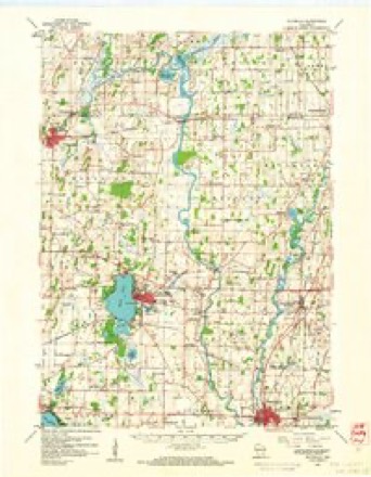
16 topographic sheets cover this place, the earliest surveyed in 1891 and the latest in 1991. It stands in Milford town. It lies in ZIP code area 53094. The Survey maps it on the Waterloo quadrangle. It stands 791 feet above sea level.
Topographic sheets covering this place
9 surveys from 16 printed sheetsMatched by testing this settlement's coordinate against the published boundary of every sheet in the United States Geological Survey's historical collection. Each opens the scanned sheet at the Survey.
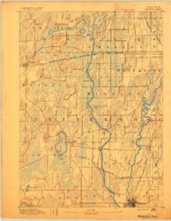
- 1891 USGS Waterloo quadrangle1:62500
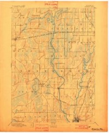
- 1894 USGS Waterloo quadrangle1:62500, 2 printings
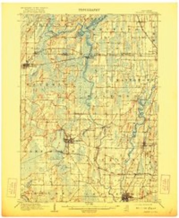
- 1910 USGS Waterloo quadrangle1:62500, 2 printings
- 1957 USGS Madison quadrangle1:250000, 3 printings
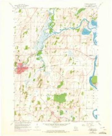
- 1959 USGS Waterloo quadrangle1:24000, 3 printings
- 1959 USGS Waterloo quadrangle1:62500
- 1960 USGS Madison quadrangle1:250000, 2 printings
- 1984 USGS Oconomowoc quadrangle1:100000
- 1991 USGS Oconomowoc quadrangle1:100000


In the county-history sources
276 words on this townshipThe History of Jefferson County, Wisconsin, Containing ... Biographical Sketches .., published 1879 names this settlement in its chapter on Milford Town. These are the passages that mention it, exactly as the scans read.
This section of Jefferson County, in point of agricultural wealth, is not unlike other loca ities already described. The Crawfish River passes through the town from north to .soutl entering from Dodge County, in Section 6, at a point where the post office of Hubbleton located. L. P. Drake and M. L. Bartlett were the first settlers in the town. The region aboi Hubbleton is wet and niarsshy, and was at one time a favorite resort for hunters from Milwaukci etc. At an early day, traders came from almost every quarter to barter with the Indians, wL had a large and important camp on the river. The old plank-road from Watertown to Waterlc passed through Hubbleton. A man named Campbell built a steam saw-mill years ago, whic furnished lumber to a large proportion of the population, until it was destroyed by fire. Mi Edwards, the Postmaster and storekeeper of the place, put up a small mill three or four yeai ago. Howell Brosi' stave-mill was at one time one of the institutions of the place. Hubbleto is the onlj' station between Watertown and Waterloo on the Madison Branch of the Chicagi Milwaukee & St. Paul Railroad.
Passage source: The History of Jefferson County, Wisconsin, Containing ... Biographical Sketches .., published 1879.
Machine-read from a century-old scan, so expect the errors a machine makes: misspelled names, dropped words, stray characters.
Fires near this place
20 since 1995Regional context, not property-specific evidence. The federal wildfire occurrence database lists 20 fires within 5 miles of Hubbleton between 1995 and 2020, burning about 1,584 acres in total. 1 started naturally. 5 were recorded as arson. Distance is straight-line from the map coordinates, so a fire counted here may appear on a neighbouring settlement's page as well.
| Reported cause | Fires |
|---|---|
| Missing data/not specified/undetermined | 10 |
| Arson/incendiarism | 5 |
| Debris and open burning | 4 |
| Natural | 1 |
The most recent of them, most recent first, with the day each was reported and the service that recorded it.
| Date | Cause | Size | Reported by | Name on the report |
|---|---|---|---|---|
| 30 May 2018 | Natural | under an acre | Wisconsin Department of Natural Resources | 1801057 |
| 29 April 2018 | Debris and open burning | 1.0 acres | Wisconsin Department of Natural Resources | 107 |
| 14 April 2003 | Arson/incendiarism | 290 acres | Wisconsin Department of Natural Resources | not named |
| 14 April 2003 | Arson/incendiarism | under an acre | Wisconsin Department of Natural Resources | not named |
| 14 April 2003 | Arson/incendiarism | 1,100 acres | Wisconsin Department of Natural Resources | not named |
| 12 April 2011 | Missing data/not specified/undetermined | under an acre | Wisconsin Department of Natural Resources | not named |
| 12 April 2011 | Missing data/not specified/undetermined | 3.0 acres | Wisconsin Department of Natural Resources | not named |
| 11 April 2020 | Debris and open burning | under an acre | Wisconsin Department of Natural Resources | 2000663 |
Settlements close enough to share some of these fires:
Storms near this place
9 since 2008Regional context, not property-specific evidence. The National Weather Service names Hubbleton in 9 storm reports between 2008 and 2025: 4 thunderstorm wind, 4 flood, 1 tornado. No death or injury is recorded in these reports. Each account below is quoted exactly as the forecast office filed it, from the NOAA Storm Events Database, and each date opens the federal record of that event.
| When | Event | Place named | Harm | What the report says |
|---|---|---|---|---|
| June 2008 | Thunderstorm Wind | Hubbleton | $40,000 | Powerful thunderstorms winds rolled through the Ixonia area. Damage consited of shingles ripped off of roofs, 6 imploded windows in a home, a gas tank blown over, numerous uprooted or snapped large trees, and downed power-lines. Based on measured wind gusts with similar storms that affected the Juneau area in Dodge County, the Ixonia winds were estimated at about 74 knots (85 mph). |
| June 2024 | Tornado (EF1) | Hubbleton | $6,000 | An EF-1 rated tornado touched down near the intersection of County Roads Q and T west of Watertown, moving northeastward. Significant damage occurred at a farm along West Rd. |
| October 2019 | Flood | Hubbleton | $2,000 | The Crawfish River at Milford reached minor flood stage, cresting at 8.38 feet during the early morning of October 9th. There is widespread flooding of agricultural land and lowland. There is widespread flooding in Riverbend Campground, about 5 miles upstream of Milford. |
| July 2024 | Flood | Hubbleton | $1,000 | There is widespread flooding of agricultural land and lowland. There is widespread flooding in Riverbend Campground, about 5 miles upstream of Milford. |
| August 2018 | Flood | Hubbleton | $1,000 | The Crawfish River reached minor flood stage and continued to rise into early September. There was widespread flooding of lowland and agricultural land, and the flooding of roads in Riverbend Campground about 5 miles upstream of Milford. |
| March 2025 | Thunderstorm Wind | Hubbleton | - | Public report of three uprooted trees and a toppled shed. |
| March 2025 | Thunderstorm Wind | Hubbleton | - | Public report of three uprooted trees and a toppled shed. |
| March 2025 | Thunderstorm Wind | Hubbleton | - | Public report of eight uprooted trees and roof damage to a garage 4 miles west of Watertown. |
| September 2018 | Flood | Hubbleton | - | The Crawfish River reached minor flood stage at the end of August, and crested at 8.62 feet the morning of September 8th. There was widespread flooding of lowland and agricultural land, and the flooding of roads in Riverbend Campground about 5 miles upstream of Milford. |
Nearest settlements
The eight closest, with where each one stands in the county. Distances are straight-line, computed from the Geographic Names Information System coordinates.
| Map | Place | Distance | Sheets |
|---|---|---|---|
| Portland | 4.9 miles | 16 | |
| Waterloo | 5.7 miles | 16 | |
| Grellton | 6.4 miles | 15 | |
| Milford | 6.7 miles | 15 | |
| Hoopers Mill | 6.7 miles | 16 | |
| Lake Mills | 7.9 miles | 16 | |
| Watertown | 8.1 miles | 19 | |
| Aztalan | 8.4 miles | 15 |
Elsewhere
Matched on this settlement's Geographic Names Information System number rather than its name, so it cannot be a different place of the same name in another state.
| Wikipedia article on Hubbleton | An encyclopaedic summary. Its text is share-alike, so it is linked here rather than copied. |
| Wikidata item Q14714467 | The structured record the population and elevation above come from. Public domain (CC0). |
Provenance
This settlement is recorded in the Geographic Names Information System as feature 1566785. The sheet list is computed by point-in-boundary test against the United States Geological Survey's historical topographic inventory. Both are works of the United States government and carry no copyright under 17 U.S.C. 105.
Wildfire. Short, Karen C. 2022. Spatial wildfire occurrence data for the United States, 1992-2020 [FPA_FOD_20221014]. 6th Edition. Fort Collins, CO: Forest Service Research Data Archive. https://doi.org/10.2737/RDS-2013-0009.6 Collected with United States Government funding and usable without additional permissions or fees.
Storms. NOAA National Centers for Environmental Information, Storm Events Database https://www.ncei.noaa.gov/stormevents/ A work of the United States government, no copyright under 17 U.S.C. 105. Narratives are quoted verbatim from the National Weather Service report and are not edited or summarised.