 Block
Magnolia, Wisconsin
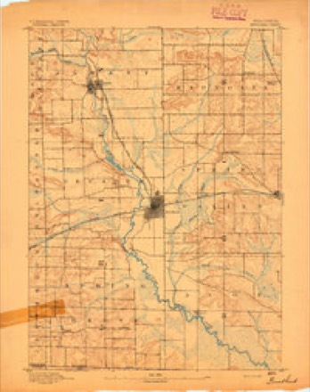
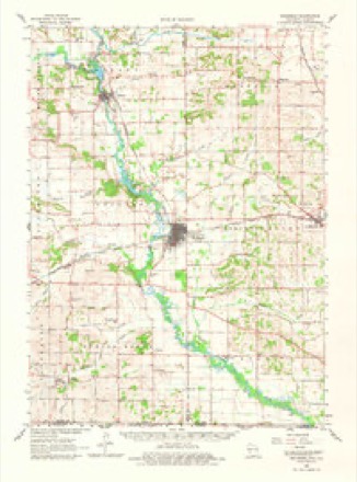
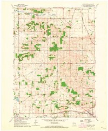
17 topographic sheets cover this place, the earliest surveyed in 1893 and the latest in 1981. It stands in Magnolia town. It lies in ZIP code area 53536. The Survey maps it on the Orfordville quadrangle. It stands 942 feet above sea level.
Topographic sheets covering this place
8 surveys from 17 printed sheetsMatched by testing this settlement's coordinate against the published boundary of every sheet in the United States Geological Survey's historical collection. Each opens the scanned sheet at the Survey.
- 1893 USGS Brodhead quadrangle1:62500, 5 printings
- 1954 USGS Rockford quadrangle1:250000
- 1955 USGS Rockford quadrangle1:250000
- 1958 USGS Rockford quadrangle1:250000, 4 printings
- 1962 USGS Brodhead quadrangle1:62500, 2 printings
- 1962 USGS Orfordville quadrangle1:24000, 2 printings
- 1963 USGS Rockford quadrangle1:250000
- 1981 USGS Monroe quadrangle1:100000





In the county-history sources
6,300 words on this townshipHistory of Rock County, and Transactions of the Rock County Agricultural Society and Mechanics' Institute, published 1856; The History of Rock County, Wisconsin; Its Early Settlement, Growth, Development, Resources, Etc., published 1879 names this settlement in its chapter on Magnolia Town. These are the passages that mention it, exactly as the scans read.
N. B. Howard, Esq., member of the Assembly from his district, in 1 854, resides in this town. Col. Ezra Miller, also a member of the Senate fronoi the I7th district, for the years 1853 and 1854, resides in this town, and has a very fine, well regulated farm.
Passage source: History of Rock County, and Transactions of the Rock County Agricultural Society and Mechanics' Institute, published 1856.
This town is situated in the northwest part of the county, adjoining Green! It was organized by act of the Territorial Legislature, approved February 2, 1846. By this act, it was made to include Township 3 north, of Range 10 east, its present limits.
Passage source: The History of Rock County, Wisconsin; Its Early Settlement, Growth, Development, Resources, Etc., published 1879.
The first settlements made in the town were in 1840, by J. N. Palmer, Joseph Prentice, Andrew Cotter, W. Adams, W. Fockler, Abram Fox, Jonathan Cook, Edmund Basy, Ambrose Moore, George McKenzie, Widow Hines and her son, William L. Hines, and Sanford P. Hammond.
Passage source: The History of Rock County, Wisconsin; Its Early Settlement, Growth, Development, Resources, Etc., published 1879.
Machine-read from a century-old scan, so expect the errors a machine makes: misspelled names, dropped words, stray characters.
Read the whole chapter on Magnolia Town - it names this place 21 more 21 times.
Fires near this place
12 since 1999Regional context, not property-specific evidence. The federal wildfire occurrence database lists 12 fires within 5 miles of Magnolia between 1999 and 2020, burning about 1,852 acres in total. None started naturally. 1 was recorded as arson. Distance is straight-line from the map coordinates, so a fire counted here may appear on a neighbouring settlement's page as well.
| Reported cause | Fires |
|---|---|
| Missing data/not specified/undetermined | 7 |
| Debris and open burning | 2 |
| Arson/incendiarism | 1 |
| Equipment and vehicle use | 1 |
| Smoking | 1 |
The most recent of them, most recent first, with the day each was reported and the service that recorded it.
| Date | Cause | Size | Reported by | Name on the report |
|---|---|---|---|---|
| 24 September 2018 | Missing data/not specified/undetermined | 1.0 acres | Wisconsin Department of Natural Resources | 201845 |
| 11 July 2019 | Debris and open burning | under an acre | Wisconsin Department of Natural Resources | 2019135 |
| 29 June 2020 | Missing data/not specified/undetermined | 1.0 acres | Wisconsin Department of Natural Resources | 68 |
| 1 May 2018 | Missing data/not specified/undetermined | under an acre | Wisconsin Department of Natural Resources | 1805092 |
| 9 April 2019 | Debris and open burning | under an acre | Wisconsin Department of Natural Resources | 2019076 |
| 23 April 2018 | Missing data/not specified/undetermined | under an acre | Wisconsin Department of Natural Resources | 1804082 |
| 18 April 2004 | Smoking | 169 acres | Wisconsin Department of Natural Resources | not named |
| 9 March 2018 | Arson/incendiarism | under an acre | Wisconsin Department of Natural Resources | 37 |
Settlements close enough to share some of these fires:
Mines and quarries near this place
8 within 5 milesRegional context, not property-specific evidence. The federal mineral resources record lists 8 workings within 5 miles of Magnolia: 5 past producers, 3 producers. 3 still produce. What was taken out: Stone, Crushed/Broken, Sand and Gravel, Construction. Distance is straight-line from the map coordinates, so a quarry counted here may appear on a neighbouring settlement's page as well.
| Where | Site | Commodity | Status | Recorded |
|---|---|---|---|---|
| Brunsell Pit | Sand and Gravel, Construction | Past Producer | ||
| Brunsell Pit | Sand and Gravel, Construction | Past Producer | ||
| Egan Pit | Sand and Gravel, Construction | Producer | ||
| Footville Quarry | Stone, Crushed/Broken | Producer | ||
| Hanke Quarry | Stone, Crushed/Broken | Past Producer | ||
| Larson Quarry | Stone, Crushed/Broken | Producer | ||
| Miller Quarry | Stone, Crushed/Broken | Past Producer | ||
| Wealti Limestone Quarry | Stone, Crushed/Broken | Past Producer |
Storms near this place
6 since 2008Regional context, not property-specific evidence. The National Weather Service names Magnolia in 6 storm reports between 2008 and 2024: 3 thunderstorm wind, 2 tornado, 1 hail. The reports record 1 injury. Each account below is quoted exactly as the forecast office filed it, from the NOAA Storm Events Database, and each date opens the federal record of that event.
| When | Event | Place named | Harm | What the report says |
|---|---|---|---|---|
| February 2024 | Tornado (EF2) | Magnolia | 1 hurt, $6,800,000 | Beginning section of the second tornado to ever occur in February in Wisconsin. Storm chaser/spotter/public videos show the tornado beginning around 5:39pm south of Evansville. The tornado intensified as it tracked to the east of Evansville where it impacted 30 primary residences (2 destroyed, 10 major impacts, 13 minor impacts, 5 affected). Numerous barns and outbuildings were destroyed along the path as it tracked to the northwest of Edgerton. The main EF-2 damage was confined to a stretch from east of Evansville to just southwest of the Yahara River. There was one person in a car that was hit by the tornado that had injuries serious enough to warrant transportation to the hospital, but they were deemed minor and released. Almost every person that was impacted by the tornado that the damage surveyors talked to said that they received the warning via Wireless Emergency Alert on their cell phone and then went to their shelter to gather more information via TV, radio, social media. County wide estimates of damage was at about $2.5 million. |
| March 2023 | Tornado (EF0) | Magnolia | $200,000 | Tornado started just south of Decatur Lake and tracked to the north through Decatur Lake Golf Course, causing some minor tree damage. Further to the north, a barn had roof damage with a number of sheets of metal lofted off of the building. Tornado tracked into a small portion of Rock County before dissapating. |
| July 2016 | Thunderstorm Wind | Magnolia | $8,000 | Numerous large tree branches down along highway 213 between Evansville and Orfordville. |
| July 2017 | Thunderstorm Wind | Magnolia | $5,000 | Several trees and branches down throughout the county. |
| July 2008 | Thunderstorm Wind | Magnolia | - | Powerful thunderstorm wind gusts toppled large trees. |
| July 2022 | Hail | Magnolia | - | no account filed |
Nearest settlements
The eight closest, with where each one stands in the county. Distances are straight-line, computed from the Geographic Names Information System coordinates.
| Map | Place | Distance | Sheets |
|---|---|---|---|
| Cainville | 2.0 miles | 17 | |
| Spring Valley | 4.1 miles | 17 | |
| Evansville | 4.5 miles | 19 | |
| Fellows (historical) | 5.2 miles | 16 | |
| Footville | 5.2 miles | 16 | |
| Orfordville | 6.4 miles | 17 | |
| Union | 7.5 miles | 19 | |
| Leyden | 8.5 miles | 16 |
Elsewhere
Matched on this settlement's Geographic Names Information System number rather than its name, so it cannot be a different place of the same name in another state.
| Wikipedia article on Magnolia | An encyclopaedic summary. Its text is share-alike, so it is linked here rather than copied. |
| Wikidata item Q6731849 | The structured record the population and elevation above come from. Public domain (CC0). |
Provenance
This settlement is recorded in the Geographic Names Information System as feature 1568896. The sheet list is computed by point-in-boundary test against the United States Geological Survey's historical topographic inventory. Both are works of the United States government and carry no copyright under 17 U.S.C. 105.
Wildfire. Short, Karen C. 2022. Spatial wildfire occurrence data for the United States, 1992-2020 [FPA_FOD_20221014]. 6th Edition. Fort Collins, CO: Forest Service Research Data Archive. https://doi.org/10.2737/RDS-2013-0009.6 Collected with United States Government funding and usable without additional permissions or fees.
Mines and quarries. USGS Mineral Resources Data System (MRDS) https://mrdata.usgs.gov/mrds/ A work of the United States government, no copyright under 17 U.S.C. 105.
Storms. NOAA National Centers for Environmental Information, Storm Events Database https://www.ncei.noaa.gov/stormevents/ A work of the United States government, no copyright under 17 U.S.C. 105. Narratives are quoted verbatim from the National Weather Service report and are not edited or summarised.