 Block
Leyden, Wisconsin
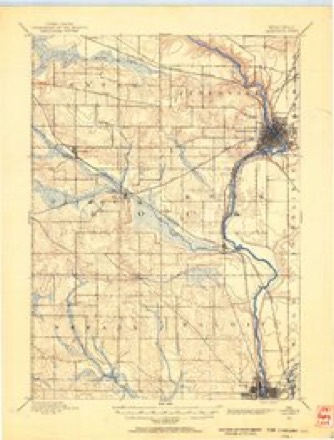
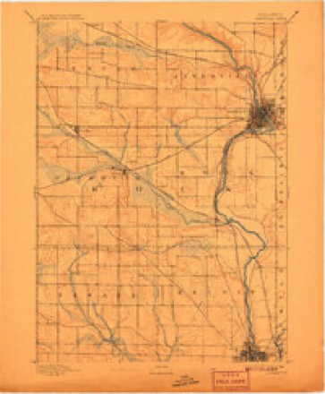
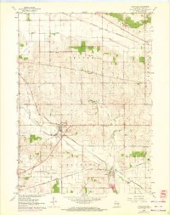
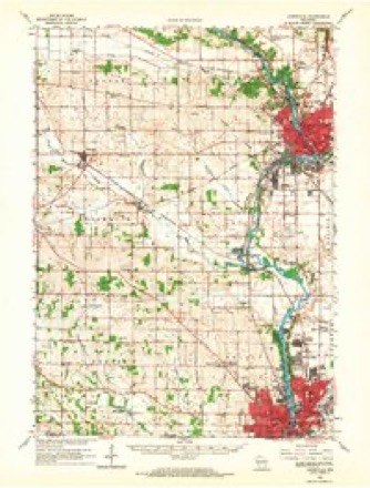
16 topographic sheets cover this place, the earliest surveyed in 1891 and the latest in 1981. It stands in Janesville town. It lies in ZIP code area 53548. The Survey maps it on the Footville quadrangle. It stands 892 feet above sea level.
Topographic sheets covering this place
9 surveys from 16 printed sheetsMatched by testing this settlement's coordinate against the published boundary of every sheet in the United States Geological Survey's historical collection. Each opens the scanned sheet at the Survey.
- 1891 USGS Janesville quadrangle1:62500
- 1893 USGS Janesville quadrangle1:62500, 4 printings
- 1954 USGS Rockford quadrangle1:250000
- 1955 USGS Rockford quadrangle1:250000
- 1958 USGS Rockford quadrangle1:250000, 4 printings
- 1962 USGS Footville quadrangle1:24000, 2 printings
- 1962 USGS Janesville quadrangle1:62500
- 1963 USGS Rockford quadrangle1:250000
- 1981 USGS Monroe quadrangle1:100000





Mines and quarries near this place
5 within 5 milesRegional context, not property-specific evidence. The federal mineral resources record lists 5 workings within 5 miles of Leyden: 4 past producers, 1 producer. 1 still produces. What was taken out: Stone, Crushed/Broken, Sand and Gravel, Construction. Distance is straight-line from the map coordinates, so a quarry counted here may appear on a neighbouring settlement's page as well.
| Where | Site | Commodity | Status | Recorded |
|---|---|---|---|---|
| Beggs Pit | Sand and Gravel, Construction | Past Producer | ||
| Austin Quarry | Stone, Crushed/Broken | Past Producer | ||
| Beaudin Quarry | Stone, Crushed/Broken | Producer | ||
| County Shop Quarry | Stone, Crushed/Broken | Past Producer | ||
| Miller Quarry | Stone, Crushed/Broken | Past Producer |
Storms near this place
11 since 1998Regional context, not property-specific evidence. The National Weather Service names Leyden in 11 storm reports between 1998 and 2026: 5 thunderstorm wind, 3 tornado, 2 flash flood, 1 flood. No death or injury is recorded in these reports. Each account below is quoted exactly as the forecast office filed it, from the NOAA Storm Events Database, and each date opens the federal record of that event.
| When | Event | Place named | Harm | What the report says |
|---|---|---|---|---|
| June 1998 | Tornado (F2) | Leyden | $845,000 | no account filed |
| May 2024 | Tornado (EF0) | Leyden | $112,000 | Tornado mainly caused tree damage as it tracked from west of Janesville and ended northeast of Milton after going through the northern side of the city. Some areas west of Janesville had extensive, yet narrow tree damage. In Milton, it was mainly large trees that were knocked over though the DPW garage had two doors blown in. Storm chasers and spotters documented this tornado and shared their videos and pictures with NWS. |
| June 2017 | Tornado (EF0) | Leyden | $60,000 | This short lived tornado topped, snapped, or uprooted many trees and damaged the roof on two farm buildings. |
| September 2013 | Thunderstorm Wind | Leyden | $20,000 | Scattered reports of trees and power lines down in much of western and central Rock |County, including the communities of Orfordville, Evansville, Beloit, Janesville, Afton and Milton. |
| March 2017 | Thunderstorm Wind | Leyden | $10,000 | A horse barn destroyed with debris strewn over 200 yards. A large pine tree was uprooted and minor damage to the home. |
| May 2016 | Thunderstorm Wind | Leyden | $10,000 | Scattered trees and tree limbs down. |
| July 2015 | Thunderstorm Wind | Leyden | $10,000 | Many trees down across much of the western portion of the county. Most concentrated tree damage was 4 miles west southwest of Milton where multiple trees were snapped or uprooted. |
| July 2016 | Flash Flood | Leyden | $5,000 | Multiple intersections and roads flooded and impassable in Janesville and Beloit after 1.5-2.0 inches in approximately one hour. |
| April 2026 | Flood | Leyden | $1,000 | The Rock River at Afton rose to Moderate flood stage. Floodwaters affected Riverside Park and several blocks of Joseph and Charles Streets on the north side of Janesville and South River Road on the south side of Janesville. Traxler Park off of Memorial Drive in Janesville was flooded, including a boat ramp, and the bleachers were surrounded by water. Floodwaters surrounded a home on South Christian Rd on the east side of the river and another across the river and along W Bass Creek Rd in the Afton area. Numerous secondary roads in the Afton area were closed to traffic, and a portion of the railroad tracks near W Tripp Rd flooded. There was extensive lowland and agricultural land flooding in the Afton and Janesville areas. |
| May 2014 | Thunderstorm Wind | Leyden | $500 | A tree was knocked down by downburst winds just northwest of Janesville. |
| April 2026 | Flash Flood | Leyden | - | Emergency manager reports water over the road at County Highway A and Austin Road. Start and end times estimated from radar data. |
Nearest settlements
The eight closest, with where each one stands in the county. Distances are straight-line, computed from the Geographic Names Information System coordinates.
| Map | Place | Distance | Sheets |
|---|---|---|---|
| Fellows (historical) | 4.0 miles | 16 | |
| Fulton | 5.3 miles | 19 | |
| Indianford | 5.4 miles | 18 | |
| Footville | 5.9 miles | 16 | |
| Anderson | 6.0 miles | 17 | |
| Hanover | 6.6 miles | 16 | |
| Cainville | 6.7 miles | 17 | |
| Janesville | 6.7 miles | 17 |
Elsewhere
Matched on this settlement's Geographic Names Information System number rather than its name, so it cannot be a different place of the same name in another state.
| Wikipedia article on Leyden | An encyclopaedic summary. Its text is share-alike, so it is linked here rather than copied. |
| Wikidata item Q6537987 | The structured record the population and elevation above come from. Public domain (CC0). |
Provenance
This settlement is recorded in the Geographic Names Information System as feature 1568004. The sheet list is computed by point-in-boundary test against the United States Geological Survey's historical topographic inventory. Both are works of the United States government and carry no copyright under 17 U.S.C. 105.
Mines and quarries. USGS Mineral Resources Data System (MRDS) https://mrdata.usgs.gov/mrds/ A work of the United States government, no copyright under 17 U.S.C. 105.
Storms. NOAA National Centers for Environmental Information, Storm Events Database https://www.ncei.noaa.gov/stormevents/ A work of the United States government, no copyright under 17 U.S.C. 105. Narratives are quoted verbatim from the National Weather Service report and are not edited or summarised.