 Block
Mineral Point, Wisconsin
14 topographic sheets cover this place, the earliest surveyed in 1902 and the latest in 1984. It stands in Mineral Point town. It lies in ZIP code area 53565. The Survey maps it on the Mineral Point quadrangle. 2,581 people lived here at the 2020 count.
On record in Mineral Point
Buildings and businesses the archive holds for this place. Each opens its own page, with the source record it came from.
On the National Register 4 records
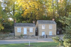 Pendarvislisted 1971
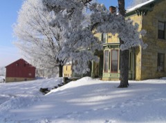 Spensley Farmlisted 1997
- Mineral Point Hilllisted 1972
- Mineral Point Historic Districtlisted 1971
Population over time
2 figuresMineral Point grew from 2,487 to 2,581 between 2010 and 2020. These are the recorded population figures Wikidata holds for this place, reached through the Geographic Names Information System number this page is keyed on rather than by name, so they belong to this place and not to another of the same name. Most are census counts, but not all are: an early figure may be a founding or settlement estimate, and an estimate published within five years of a census is left out. The change column is computed, and is left blank where more than 20 years separate a figure from the one before it, because a gap that long is not a change between two counts.
| Year | People | Change |
|---|---|---|
| 2010 | 2,487 | |
| 2020 | 2,581 | +94 (+4%) |
Topographic sheets covering this place
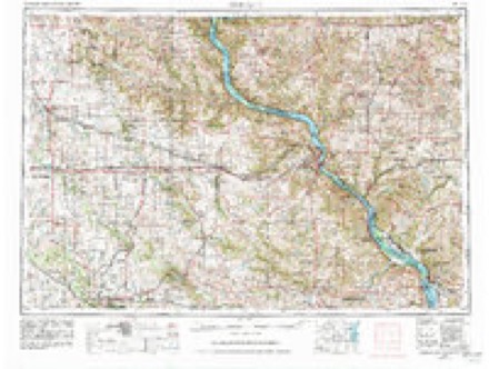
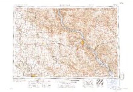
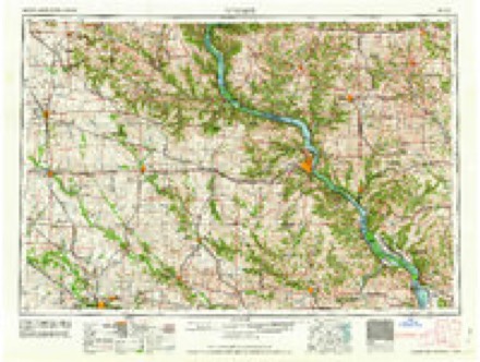
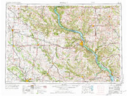
7 surveys from 14 printed sheetsMatched by testing this settlement's coordinate against the published boundary of every sheet in the United States Geological Survey's historical collection. Each opens the scanned sheet at the Survey.
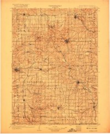
- 1902 USGS Mineral Point quadrangle1:125000, 4 printings
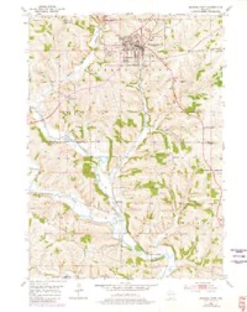
- 1952 USGS Mineral Point quadrangle1:24000, 3 printings
- 1959 USGS Dubuque quadrangle1:250000
- 1961 USGS Dubuque quadrangle1:250000
- 1962 USGS Dubuque quadrangle1:250000, 2 printings
- 1976 USGS Dubuque quadrangle1:250000
- 1984 USGS Dubuque North quadrangle1:100000, 2 printings
In the county-history sources
40,686 words on this townshipHistory of Iowa County, Wisconsin, Containing an Account of Its Settlement, Growth, Development and Resources...biographical Sketches.., published 1881 names this settlement in its chapter on Mineral Point Town. These are the passages that mention it, exactly as the scans read.
As previously shown, under the old system, which generally prevailed until 1836, diggers were permitted to sell their mineral only to licensed smelters, and the Government collected the rents (10 per cent until 1830, and 6^ per cent subsequently, delivered at the United States warehouse, in Galena) of the smelters. The prices paid to miners were made with that fact in view. In 1827, as clearly indicated by the letter from Lieut. Thomas to E. Ferguson, and subsequent orders, the diggers and some of the smelters were operating on lands not owned or controlled by the United States, in some instances, having the permission of the Indians and paying them for the privilege, and in more cases, probably, trespassing on their domain. It had begun to dawn upon the people that five leagues square comprised only a very small portion of the lands rich in mineral wealth, and it was not possible for the Government agents to prevent digging for mineral outside the limits of the reservation, over which, only, could the United States exercise control. The Superintendent of the United States Mines had no authority to grant permits on Indian territory. He could forbid such tresspass, but it would require a military force to prevent mining beyond the limits of the reservation, provided the diggers obtained the consent of the native owners. It was plain tiiat the Government could rightfully collect rent only of those who obtained their mineral within the recognized limits of the " five league square." The agent could not fully demand any of the lead obtained beyond the limits of the reservation, and this led to difficulty. It was unjust to pay rent to the Indians and to pay it again to the United States, nor could the agent collect rent even if it had been surreptitiously obtained. Some of the smelters, and especially those operating on Indian lands, either with or without the permission of the natives, or buying mineral from diggers operating beyond the jurisdiction of the agent, began to refuse to pay rent, alleging that, as they obtained lead from Indian lands and were not protected by the Government, they were under no obligation to pay. The agent was placed in an embarrassing position. They were obtaining mineral on the public lands, but they were also obtaining it on lands over which the United States e.xercise no control, he had no means of determining the amount actually due the Government, and therefore could not enforce payment of any. This refusal became more general until the unauthorized sale of the mineral lands in Wisconsin, in 1831, and subsequently by the Register of the Land Office at Mineral Point (called Shake-rag " in early mining days), who, in violation of his express instructions, permitted a large number of the diggmgs actually worked to be entered. Many miners were thus outrageously defrauded, and their rights were disregarded. From that time they declined taking leases, and the lead office gradually fell into practical disuse. Capt. Weber remained as agent until about 1840, but his iigency was purely nominal. The regulations were not enforced, smelters paid no rent, and there was a season of freedom from Governmental supervision. In 1840, however, an attempt was made to revive the office. H. King, special agent, was sent to the mines, probably to investigate Weber's loose manner of doing business, nr rather his neglect of business. -'With Mr. King," says Mr Houghton, "or very nearly the same time, came John Flanagan."
Passage source: History of Iowa County, Wisconsin, Containing an Account of Its Settlement, Growth, Development and Resources...biographical Sketches.., published 1881.
Mineral Point of to-day necessarily enjoys a place in the annals of Wisconsin as distinctive as it is prominent, with relation to the first settlement of the State not only, but in consideration of the various mineral resources of this locality, from which the name was derived, and which were the primary forces that attracted the first white men hither, and that still constitute a large part of the wealth of this community.
Passage source: History of Iowa County, Wisconsin, Containing an Account of Its Settlement, Growth, Development and Resources...biographical Sketches.., published 1881.
In point of beauty of location, very few places in the State can boast of more attractive and picturesque surroundings than environ Mineral Point of to-day. The chief elevation in the city is sufficiently high to afford an extended view in nearly every direction, and from which may be scanned at will stretches of scenery of unusual loveliness and variety. The place exhibits the effects of age, and, in the irregularity of its streets and alleys, shows the nature of its first settlement, which was evidently without plan or forethought. Very few of the squatters who were the first comers thought of or cared for the future of the place or country, and, therefore, built their cabins and commenced digging on the grounds hap-hazard, or on whatever spot suited them best. Eventually, when the lands came into market, the surveys were made in accordance with this state of affairs and the lay of the country ; and, as a consequence, the city is cut up by streets and narrow alleys into all sorts of shapes. To the eye of an admirer of the old and unique, this very want of uniformity is highly pleasing, as the novelty of appearance that invests nearly everything here is radically different from that of the ordinary modern village or city, and consequently possesses a charm peculiarly its own.
Passage source: History of Iowa County, Wisconsin, Containing an Account of Its Settlement, Growth, Development and Resources...biographical Sketches.., published 1881.
Machine-read from a century-old scan, so expect the errors a machine makes: misspelled names, dropped words, stray characters.
Read the whole chapter on Mineral Point Town - it names this place 34 more 34 times.
Fires near this place
7 since 2018Regional context, not property-specific evidence. The federal wildfire occurrence database lists 7 fires within 5 miles of Mineral Point between 2018 and 2020, burning about 10 acres in total. None started naturally. None was recorded as arson. Distance is straight-line from the map coordinates, so a fire counted here may appear on a neighbouring settlement's page as well.
| Reported cause | Fires |
|---|---|
| Debris and open burning | 4 |
| Missing data/not specified/undetermined | 3 |
The most recent of them, most recent first, with the day each was reported and the service that recorded it.
| Date | Cause | Size | Reported by | Name on the report |
|---|---|---|---|---|
| 3 May 2020 | Debris and open burning | 4.0 acres | Wisconsin Department of Natural Resources | 5844 |
| 5 April 2020 | Debris and open burning | under an acre | Wisconsin Department of Natural Resources | 4757 |
| 23 April 2018 | Debris and open burning | under an acre | Wisconsin Department of Natural Resources | 6761 |
| 30 March 2019 | Missing data/not specified/undetermined | 2.0 acres | Wisconsin Department of Natural Resources | 9004771 |
| 29 March 2018 | Missing data/not specified/undetermined | under an acre | Wisconsin Department of Natural Resources | 5135 |
| 26 March 2019 | Debris and open burning | 4.0 acres | Wisconsin Department of Natural Resources | 9004508 |
| 14 March 2018 | Missing data/not specified/undetermined | under an acre | Wisconsin Department of Natural Resources | 4107 |
Settlements close enough to share some of these fires:
Mines and quarries near this place
10 of 260 shownRegional context, not property-specific evidence. The federal mineral resources record lists 260 workings within 5 miles of Mineral Point: 224 past producers, 24 unknowns, 7 prospects, 3 producers. 3 still produce. What was taken out: Lead, Zinc, Lead, Zinc, Copper. Distance is straight-line from the map coordinates, so a quarry counted here may appear on a neighbouring settlement's page as well.
| Where | Site | Commodity | Status | Recorded |
|---|---|---|---|---|
| Graysville Mine | Copper, Zinc, Lead | Past Producer | Stratiform | |
| Grayville Mine | Zinc, Copper, Lead, Nickel | Past Producer | ||
| Harris Mine | Copper, Zinc | Past Producer | 1908 | |
| Hewitt Prospect | Lead, Copper, Zinc | Prospect | ||
| Advance Mine | Zinc, Lead | Past Producer | ||
| Graysville Concentrator | Copper, Lead, Zinc | Past Producer | ||
| Holman Prospect | Copper, Lead, Zinc | Prospect | ||
| Jones Mine | Zinc, Lead | Past Producer | ||
| Linden Mine | Zinc, Lead | Past Producer | ||
| Pierson Prospect | Copper, Lead, Zinc | Past Producer |
Storms near this place
1 since 1994Regional context, not property-specific evidence. The National Weather Service names Mineral Point in 1 storm report in 1994: 1 hail. No death or injury is recorded in these reports. Each account below is quoted exactly as the forecast office filed it, from the NOAA Storm Events Database, and each date opens the federal record of that event.
| When | Event | Place named | Harm | What the report says |
|---|---|---|---|---|
| May 1994 | Hail | Mineral Point | - | no account filed |
Nearest settlements
The eight closest, with where each one stands in the county. Distances are straight-line, computed from the Geographic Names Information System coordinates.
Elsewhere
Matched on this settlement's Geographic Names Information System number rather than its name, so it cannot be a different place of the same name in another state.
| Wikipedia article on Mineral Point | An encyclopaedic summary. Its text is share-alike, so it is linked here rather than copied. |
| Wikidata item Q1569984 | The structured record the population and elevation above come from. Public domain (CC0). |
Provenance
This settlement is recorded in the Geographic Names Information System as feature 1569549. The sheet list is computed by point-in-boundary test against the United States Geological Survey's historical topographic inventory. Both are works of the United States government and carry no copyright under 17 U.S.C. 105.
Wildfire. Short, Karen C. 2022. Spatial wildfire occurrence data for the United States, 1992-2020 [FPA_FOD_20221014]. 6th Edition. Fort Collins, CO: Forest Service Research Data Archive. https://doi.org/10.2737/RDS-2013-0009.6 Collected with United States Government funding and usable without additional permissions or fees.
Mines and quarries. USGS Mineral Resources Data System (MRDS) https://mrdata.usgs.gov/mrds/ A work of the United States government, no copyright under 17 U.S.C. 105.
Storms. NOAA National Centers for Environmental Information, Storm Events Database https://www.ncei.noaa.gov/stormevents/ A work of the United States government, no copyright under 17 U.S.C. 105. Narratives are quoted verbatim from the National Weather Service report and are not edited or summarised.