 Block
Mount Hope, Wisconsin
15 topographic sheets cover this place, the earliest surveyed in 1900 and the latest in 1984. It stands in Mount Hope Village. It lies in ZIP code area 53816. It lies near Little Irish Ridge. The Survey maps it on the Mount Hope quadrangle. 215 people lived here at the 2020 count. It stands 1,047 feet above sea level.
Population over time
2 figuresMount Hope fell from 225 to 215 between 2010 and 2020. These are the recorded population figures Wikidata holds for this place, reached through the Geographic Names Information System number this page is keyed on rather than by name, so they belong to this place and not to another of the same name. Most are census counts, but not all are: an early figure may be a founding or settlement estimate, and an estimate published within five years of a census is left out. The change column is computed, and is left blank where more than 20 years separate a figure from the one before it, because a gap that long is not a change between two counts.
| Year | People | Change |
|---|---|---|
| 2010 | 225 | |
| 2020 | 215 | -10 (-4%) |
Topographic sheets covering this place
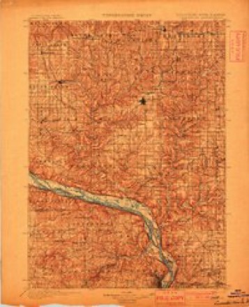
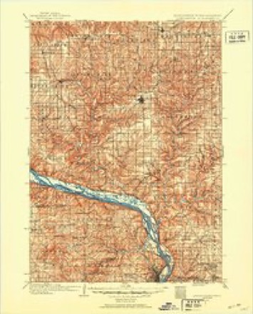
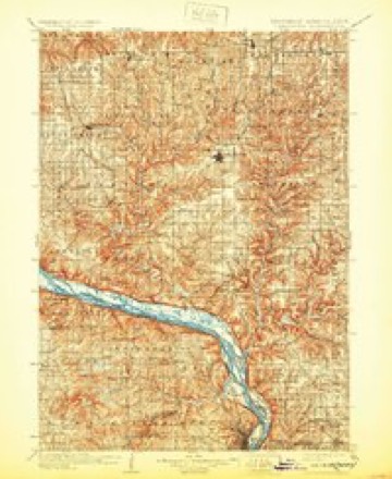
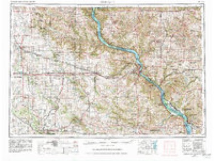
9 surveys from 15 printed sheetsMatched by testing this settlement's coordinate against the published boundary of every sheet in the United States Geological Survey's historical collection. Each opens the scanned sheet at the Survey.
- 1900 USGS Lancaster quadrangle1:125000
- 1904 USGS Lancaster quadrangle1:125000
- 1908 USGS Lancaster quadrangle1:125000, 5 printings
- 1959 USGS Dubuque quadrangle1:250000
- 1961 USGS Dubuque quadrangle1:250000
- 1962 USGS Dubuque quadrangle1:250000, 2 printings
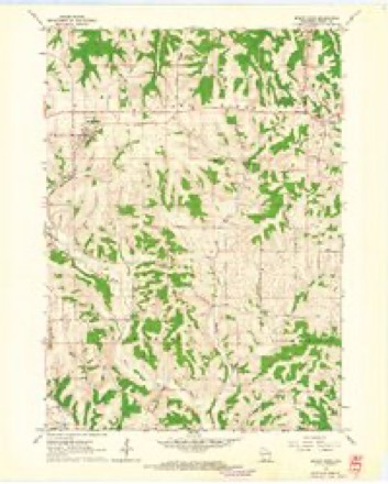
- 1962 USGS Mount Hope quadrangle1:24000
- 1976 USGS Dubuque quadrangle1:250000
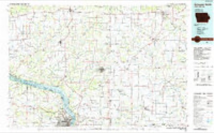
- 1984 USGS Dubuque North quadrangle1:100000, 2 printings
In the county-history sources
1,033 words on this townshipHistory of Grant County, Wisconsin, published 1881 names this settlement in its chapter on Mount Hope Village. These are the passages that mention it, exactly as the scans read.
The first settler within the limits of the present town of Mount Hope was the Hon. Thomas P. Burnett. As early as 1836, Mr. Burnett had entered the east half of the northeast and southeast quarters of Section 19, Township 6, Range 4 west. Other entries had added much to the originial purchase, and, in 1840, Mr. Burnett erected a double log cabin and began the task of improving his new farm. The spot chosen by him was enthusiastically spoken of as " one of the most lovely on the Military Road," that great' thoroughfare of the Southwest. The place occu- pied a high ridge and contained a judicious distribution of timbered and prairie land. Here Mr. Burnett indulged his taste for agriculture and horticulture until the wilderness began to " blossom as a rose." " Orchard, garden and lawns," were arranged with great taste and beauty, while the thorough management that characterized every detail of this beautiful place was shown even in the neatly trimmed shrubs and trees. The stock, cattle and horses, were of the best improved breeds, while the latest and best agricultural implements were always to be found upon this model farm. From the midst of this scene of beauty, and while engaged in planning the erection of a spacious stone mansion, the proprietor was suddenly called away in 1>^46. The log house is still standing occupied by others.
Passage source: History of Grant County, Wisconsin, published 1881.
Mount Hope was originally an integral part of Patch Grove, and it was not until 1865, that it was erected into its present town limits, when, at an adjourned meeting, held in January of that year, the division was made that placed Mount Hope among the towns of the county. Thj present village was commenced in 1856. William Whitesides, Thomas Taylor and William Harlocker were the founders, the two first-named gentlemen giving 20 acres, and the last named 12 acres of land, for the purpose of making a town. This land was donated to the Trustees of the Brunson Institute, in order that, through the sale of lots, enough money could be raised to «rect an educational institution bearing the above name. Subscriptions were also taken, and work immediately begun upon the foundation. The land on which the building site had been originally selected was found to be mortgaged when considerable advancement had been made. But, upon this discovery, a new site was chosen and work went on slowly.
Passage source: History of Grant County, Wisconsin, published 1881.
During the years of the war, the basement story of the institute had been built, and, in the jears just succeeding the great struggle, the remainder of the building was erected. Hardly had it been completed when in some unaccountable manner it took fire and burned down, at once dashing the hopes of its projectors to the ground. The building had been insured by the ladies' society for $1,800. Such part of the money as was left after paying debts and expenses was afterward given by the Trustees to the district to assist in erecting a high school building, which was done, and Mount Hope now rejoices in a most excellent school. Merchants had grad- come in ; Humphrey & Whitesides being among the first. A. B. Linn followed soon after. About 1867, Oswald, Nathan & Co., commenced business and continued for some time. In May this year the town was platted and laid out.
Passage source: History of Grant County, Wisconsin, published 1881.
Machine-read from a century-old scan, so expect the errors a machine makes: misspelled names, dropped words, stray characters.
Fires near this place
6 since 2001Regional context, not property-specific evidence. The federal wildfire occurrence database lists 6 fires within 5 miles of Mount Hope between 2001 and 2020, burning about 19 acres in total. None started naturally. None was recorded as arson. Distance is straight-line from the map coordinates, so a fire counted here may appear on a neighbouring settlement's page as well.
| Reported cause | Fires |
|---|---|
| Debris and open burning | 4 |
| Missing data/not specified/undetermined | 1 |
| Equipment and vehicle use | 1 |
The most recent of them, most recent first, with the day each was reported and the service that recorded it.
| Date | Cause | Size | Reported by | Name on the report |
|---|---|---|---|---|
| 6 June 2018 | Equipment and vehicle use | under an acre | Wisconsin Department of Natural Resources | MOUNT HOPE |
| 18 June 2020 | Missing data/not specified/undetermined | under an acre | Wisconsin Department of Natural Resources | 12A2020 |
| 1 May 2015 | Debris and open burning | under an acre | Wisconsin Department of Natural Resources | IRISH RIDGE |
| 26 April 2013 | Debris and open burning | under an acre | Wisconsin Department of Natural Resources | MILLVILLE HOLLOW |
| 11 April 2002 | Debris and open burning | 16 acres | Wisconsin Department of Natural Resources | not named |
| 5 November 2001 | Debris and open burning | 2.0 acres | Wisconsin Department of Natural Resources | not named |
Settlements close enough to share some of these fires:
Mines and quarries near this place
1 within 5 milesRegional context, not property-specific evidence. The federal mineral resources record lists 1 working within 5 miles of Mount Hope: 1 producer. All of them still produce. What was taken out: Stone, Crushed/Broken. Distance is straight-line from the map coordinates, so a quarry counted here may appear on a neighbouring settlement's page as well.
| Where | Site | Commodity | Status | Recorded |
|---|---|---|---|---|
| Charlie White Quarry | Stone, Crushed/Broken | Producer |
Storms near this place
1 since 1995Regional context, not property-specific evidence. The National Weather Service names Mount Hope in 1 storm report in 1995: 1 thunderstorm wind. No death or injury is recorded in these reports. Each account below is quoted exactly as the forecast office filed it, from the NOAA Storm Events Database, and each date opens the federal record of that event.
| When | Event | Place named | Harm | What the report says |
|---|---|---|---|---|
| June 1995 | Thunderstorm Wind | Mount Hope | - | no account filed |
Nearest settlements
The eight closest, with where each one stands in the county. Distances are straight-line, computed from the Geographic Names Information System coordinates.
| Map | Place | Distance | Sheets |
|---|---|---|---|
| Shady Dell | 3.6 miles | 15 | |
| Mount Ida | 5.2 miles | 15 | |
| Millville | 5.9 miles | 10 | |
| Werley | 6.1 miles | 10 | |
| Patch Grove | 6.3 miles | 16 | |
| Bloomington | 6.6 miles | 16 | |
| Woodman | 9.0 miles | 10 | |
| Flora Fountain | 9.4 miles | 16 |
Elsewhere
Matched on this settlement's Geographic Names Information System number rather than its name, so it cannot be a different place of the same name in another state.
| Wikipedia article on Mount Hope | An encyclopaedic summary. Its text is share-alike, so it is linked here rather than copied. |
| Wikidata item Q1904877 | The structured record the population and elevation above come from. Public domain (CC0). |
Provenance
This settlement is recorded in the Geographic Names Information System as feature 1569807. The sheet list is computed by point-in-boundary test against the United States Geological Survey's historical topographic inventory. Both are works of the United States government and carry no copyright under 17 U.S.C. 105.
Wildfire. Short, Karen C. 2022. Spatial wildfire occurrence data for the United States, 1992-2020 [FPA_FOD_20221014]. 6th Edition. Fort Collins, CO: Forest Service Research Data Archive. https://doi.org/10.2737/RDS-2013-0009.6 Collected with United States Government funding and usable without additional permissions or fees.
Mines and quarries. USGS Mineral Resources Data System (MRDS) https://mrdata.usgs.gov/mrds/ A work of the United States government, no copyright under 17 U.S.C. 105.
Storms. NOAA National Centers for Environmental Information, Storm Events Database https://www.ncei.noaa.gov/stormevents/ A work of the United States government, no copyright under 17 U.S.C. 105. Narratives are quoted verbatim from the National Weather Service report and are not edited or summarised.