 Block
Oak Hill, Wisconsin
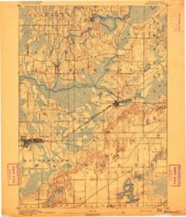
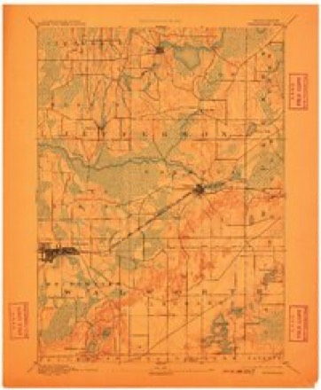
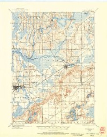
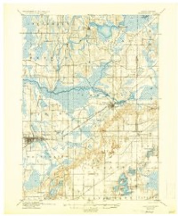
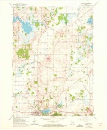
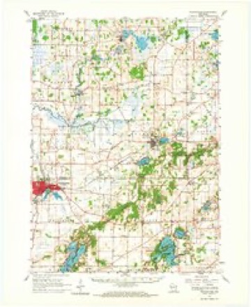
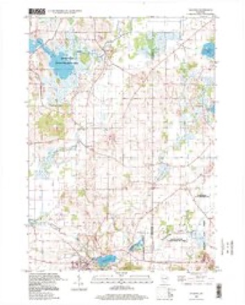
32 topographic sheets cover this place, the earliest surveyed in 1892 and the latest in 1995. It stands in Sullivan town. It lies in ZIP code area 53156. The Survey maps it on the Palmyra quadrangle. It stands 820 feet above sea level.
Topographic sheets covering this place
12 surveys from 32 printed sheetsMatched by testing this settlement's coordinate against the published boundary of every sheet in the United States Geological Survey's historical collection. Each opens the scanned sheet at the Survey.
- 1892 USGS Whitewater quadrangle1:62500
- 1893 USGS Whitewater quadrangle1:62500, 7 printings
- 1903 USGS Whitewater quadrangle1:62500, 5 printings
- 1924 USGS Whitewater quadrangle1:62500, 4 printings
- 1954 USGS Rockford quadrangle1:250000
- 1955 USGS Rockford quadrangle1:250000
- 1958 USGS Rockford quadrangle1:250000, 4 printings
- 1960 USGS Palmyra quadrangle1:24000, 2 printings
- 1960 USGS Whitewater quadrangle1:62500, 4 printings
- 1963 USGS Rockford quadrangle1:250000
- 1980 USGS Lake Geneva quadrangle1:100000
- 1995 USGS Palmyra quadrangle1:24000





In the county-history sources
5,004 words on this townshipThe History of Jefferson County, Wisconsin, Containing ... Biographical Sketches .., published 1879 names this settlement in its chapter on Sullivan Town. These are the passages that mention it, exactly as the scans read.
There are four post offices in the town, viz.: Rome, Erfurt, Sullivan and Oak Hill. Rome is an unincorporated village of about three hundred inhabitants, beautifully situated on Bark, River, in Section 17. It was laid out and recorded by Ambrose Seely on the 9th of September,
Passage source: The History of Jefferson County, Wisconsin, Containing ... Biographical Sketches .., published 1879.
The first post office established in what is now the town of Sullivan was Oak Hill, more famili.Trly known to the early settlers as " Pumpkin Hollow.'' The Postmasters have been Charles De Witt, Norton Blackmer, Austin Longley and William Webster. Almond Steele. David Waite, David Piatt and Seth Dustin were among the early settlers at Oak Hill. At present, the place consists of a cheese-factory, a sorghum-mill, two blacksmith-shops and one store. It is located in Section 34.
Passage source: The History of Jefferson County, Wisconsin, Containing ... Biographical Sketches .., published 1879.
Machine-read from a century-old scan, so expect the errors a machine makes: misspelled names, dropped words, stray characters.
Fires near this place
6 since 2015Regional context, not property-specific evidence. The federal wildfire occurrence database lists 6 fires within 5 miles of Oak Hill between 2015 and 2020, burning about 24 acres in total. None started naturally. None was recorded as arson. Distance is straight-line from the map coordinates, so a fire counted here may appear on a neighbouring settlement's page as well.
| Reported cause | Fires |
|---|---|
| Missing data/not specified/undetermined | 3 |
| Debris and open burning | 3 |
The most recent of them, most recent first, with the day each was reported and the service that recorded it.
| Date | Cause | Size | Reported by | Name on the report |
|---|---|---|---|---|
| 24 June 2019 | Debris and open burning | under an acre | Wisconsin Department of Natural Resources | 1923 |
| 3 May 2020 | Debris and open burning | 1.0 acres | Wisconsin Department of Natural Resources | 2018 |
| 4 April 2015 | Missing data/not specified/undetermined | 13 acres | Wisconsin Department of Natural Resources | CARLIN TRAIL |
| 18 April 2020 | Missing data/not specified/undetermined | 5.0 acres | Wisconsin Department of Natural Resources | 2017 |
| 13 April 2019 | Debris and open burning | under an acre | Wisconsin Department of Natural Resources | 1916 |
| 14 March 2020 | Missing data/not specified/undetermined | 5.0 acres | Wisconsin Department of Natural Resources | 20 |
Settlements close enough to share some of these fires:
Mines and quarries near this place
3 within 5 milesRegional context, not property-specific evidence. The federal mineral resources record lists 3 workings within 5 miles of Oak Hill: 3 past producers. None of them still produces. What was taken out: Sand and Gravel, Construction. Distance is straight-line from the map coordinates, so a quarry counted here may appear on a neighbouring settlement's page as well.
| Where | Site | Commodity | Status | Recorded |
|---|---|---|---|---|
| Burlington Pit | Sand and Gravel, Construction | Past Producer | ||
| Pett Construction Co Burton Pit | Sand and Gravel, Construction | Past Producer | ||
| Scollard Pit | Sand and Gravel, Construction | Past Producer |
Storms near this place
9 since 2010Regional context, not property-specific evidence. The National Weather Service names Oak Hill in 9 storm reports between 2010 and 2022: 6 thunderstorm wind, 2 hail, 1 tornado. No death or injury is recorded in these reports. Each account below is quoted exactly as the forecast office filed it, from the NOAA Storm Events Database, and each date opens the federal record of that event.
| When | Event | Place named | Harm | What the report says |
|---|---|---|---|---|
| June 2014 | Thunderstorm Wind | Oak Hill | $5,000 | A large tree was snapped off about 2 feet above the ground and blocking Hardscrabble Road. Other trees sustained damage or were down over far east central Jefferson County. |
| May 2017 | Thunderstorm Wind | Oak Hill | $4,000 | A large uprooted tree landing on a house. |
| September 2018 | Thunderstorm Wind | Oak Hill | $1,000 | A small number of trees blown down near Rome on highway Y. |
| October 2022 | Tornado (EF0) | Oak Hill | - | Path initially detected by a combination of radar data and Sentinel satellite information. Ensuing ground survey found the damage path through a yet to be combined corn field with damage points to a horse fence along with some minor tree damage. |
| June 2011 | Thunderstorm Wind | Oak Hill | - | Powerful thunderstorm winds broke numerous large tree branches and toppled several large trees in the vicinity of the Milwaukee/Sullivan WFO. |
| August 2010 | Thunderstorm Wind | Oak Hill | - | The peak thunderstorm wind gust of 58 mph (50 knots) measured at the National Weather Service office southeast of Sullivan. |
| June 2022 | Hail | Oak Hill | - | no account filed |
| May 2017 | Thunderstorm Wind | Oak Hill | - | no account filed |
| May 2011 | Hail | Oak Hill | - | no account filed |
Nearest settlements
The eight closest, with where each one stands in the county. Distances are straight-line, computed from the Geographic Names Information System coordinates.
| Map | Place | Distance | Sheets |
|---|---|---|---|
| Slabtown | 3.3 miles | 31 | |
| Heath Mills | 3.4 miles | 32 | |
| Rome | 3.9 miles | 31 | |
| Palmyra | 4.0 miles | 32 | |
| Sullivan | 5.3 miles | 18 | |
| Hebron | 5.7 miles | 31 | |
| Spacious Acres | 7.2 miles | 18 | |
| Helenville | 8.0 miles | 18 |
Elsewhere
Matched on this settlement's Geographic Names Information System number rather than its name, so it cannot be a different place of the same name in another state.
| Wikipedia article on Oak Hill | An encyclopaedic summary. Its text is share-alike, so it is linked here rather than copied. |
| Wikidata item Q7073549 | The structured record the population and elevation above come from. Public domain (CC0). |
Provenance
This settlement is recorded in the Geographic Names Information System as feature 1570634. The sheet list is computed by point-in-boundary test against the United States Geological Survey's historical topographic inventory. Both are works of the United States government and carry no copyright under 17 U.S.C. 105.
Wildfire. Short, Karen C. 2022. Spatial wildfire occurrence data for the United States, 1992-2020 [FPA_FOD_20221014]. 6th Edition. Fort Collins, CO: Forest Service Research Data Archive. https://doi.org/10.2737/RDS-2013-0009.6 Collected with United States Government funding and usable without additional permissions or fees.
Mines and quarries. USGS Mineral Resources Data System (MRDS) https://mrdata.usgs.gov/mrds/ A work of the United States government, no copyright under 17 U.S.C. 105.
Storms. NOAA National Centers for Environmental Information, Storm Events Database https://www.ncei.noaa.gov/stormevents/ A work of the United States government, no copyright under 17 U.S.C. 105. Narratives are quoted verbatim from the National Weather Service report and are not edited or summarised.