 Block
Peebles, Wisconsin
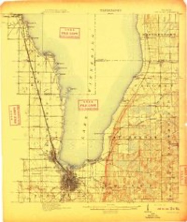
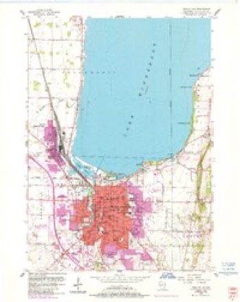
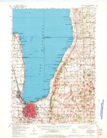
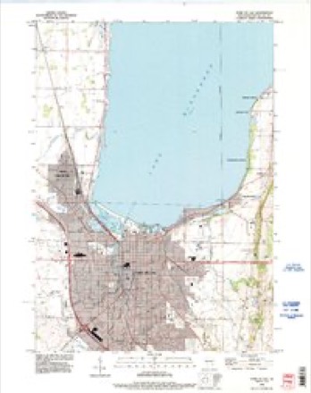
13 topographic sheets cover this place, the earliest surveyed in 1910 and the latest in 1992. It stands in Taycheedah town. It lies in ZIP code area 54937. It stands on Taycheedah Creek. The Survey maps it on the Fond du Lac quadrangle. It stands 814 feet above sea level.
Topographic sheets covering this place
7 surveys from 13 printed sheetsMatched by testing this settlement's coordinate against the published boundary of every sheet in the United States Geological Survey's historical collection. Each opens the scanned sheet at the Survey.
- 1910 USGS Fond du Lac quadrangle1:62500, 2 printings
- 1955 USGS Fond Du Lac quadrangle1:24000, 2 printings
- 1955 USGS Fond Du Lac quadrangle1:62500, 2 printings
- 1957 USGS Madison quadrangle1:250000, 3 printings
- 1960 USGS Madison quadrangle1:250000, 2 printings
- 1980 USGS Fond Du Lac quadrangle1:100000
- 1992 USGS Fond Du Lac quadrangle1:24000



In the county-history sources
6,126 words on this townshipThe History of Fond Du Lac County, Wisconsin, published 1880 names this settlement in its chapter on Taycheedah Town. These are the passages that mention it, exactly as the scans read.
WILLIAM E. tJOHTEKMOXT, farmer. Sec. 20; P. O. Peebles; is a native of New York, was born in Lewis Co. Dec. 13, 1827; in early life, he received a liberal education at the common schools in his native county ; in 186(>, he came to Wisconsin, located where he now lives; he owns IGO acres of land, finely improved, and possessing many natural advantages. In politics, he is a consistent and active Republican. He was a member of the Taycheedah Town Board of Trustees, also Town Treasurer. His wife was Louisa Dart, nee Hoagland ; he has one son (Charles), by a former marriage ; his wife had two children by her marriage with her first husband (J. M. Dart), viz. : Ida and Alma. Mr. Goutermont is a representative man of Taycheedah, and one who identifies himself closely with the progress of her public interests ; he has been very successful in life, and is possessed of great physical vigor.
Passage source: The History of Fond Du Lac County, Wisconsin, published 1880.
JOHN C. HO ACL AND, farmer. Sec. 32 ; P.O.Peebles; is a native of Pennsylvania, and came to Wisconsin about 1848, and has lived in the town of Taycheedah the most of the time since. He h;is been twice married ; his children are Mrs. E. Lyons, of La Crosse, Wis.; Mrs. Goutermont, of Taycheedah, and Edward. Mr. Hoagland is a leading former and an enterprising citizen.
Passage source: The History of Fond Du Lac County, Wisconsin, published 1880.
E. PEEOLiES, farmer, and proprietor of cheese factory. Sec. 32; P. 0. Peebles; is a native of Martinsburg, Lewis Co., N. Y.; was born Aug. 22, 1822 ; in November, 1845, he came to Wisconsin and located in Taycheedah. In 1847, he married Miss Margaret Van Valkenburg; they have six children living - Sanford S., Sarah J., John E., Oscar, Emma and Sherman ; one child deceased, Ella, died in 1878; in 1875, Mr. Peebles erected a cheese factory on his farm, where he makes about an average of 100,000 chee.se per annum, which is widely known for its superior quality; he owns a finely improved farm of 170 acres. Politically, he acts with the Republicans, being an active worker in that party since its organization ; he is an active, energetic, go-ahead citizen, and one who takes an active part in all public enterprises that give promise of advancing the interests of the public; his father, Sanford Peebles, was a soldier in active service during the war of 1812; he^ married, in his native State (New York), Miss Sarah Bowen ; he is now deceased ; she is living at Martinsburg, N. Y.
Passage source: The History of Fond Du Lac County, Wisconsin, published 1880.
Machine-read from a century-old scan, so expect the errors a machine makes: misspelled names, dropped words, stray characters.
Read the whole chapter on Taycheedah Town - it names this place 17 more 17 times.
Fires near this place
13 since 1993Regional context, not property-specific evidence. The federal wildfire occurrence database lists 13 fires within 5 miles of Peebles between 1993 and 2020, burning about 21 acres in total. None started naturally. None was recorded as arson. Distance is straight-line from the map coordinates, so a fire counted here may appear on a neighbouring settlement's page as well.
| Reported cause | Fires |
|---|---|
| Missing data/not specified/undetermined | 5 |
| Debris and open burning | 5 |
| Power generation/transmission/distribution | 1 |
| Misuse of fire by a minor | 1 |
| Equipment and vehicle use | 1 |
The most recent of them, most recent first, with the day each was reported and the service that recorded it.
| Date | Cause | Size | Reported by | Name on the report |
|---|---|---|---|---|
| 20 September 2018 | Debris and open burning | under an acre | Wisconsin Department of Natural Resources | 63 |
| 6 July 2018 | Power generation/transmission/distribution | 1.0 acres | Wisconsin Department of Natural Resources | 184343 |
| 18 May 2018 | Missing data/not specified/undetermined | under an acre | Wisconsin Department of Natural Resources | 2018040 |
| 1 May 2018 | Missing data/not specified/undetermined | 15 acres | Wisconsin Department of Natural Resources | 2018037 |
| 5 April 1993 | Equipment and vehicle use | under an acre | Wisconsin Department of Natural Resources | not named |
| 28 April 2018 | Debris and open burning | under an acre | Wisconsin Department of Natural Resources | 37 |
| 25 April 2018 | Debris and open burning | under an acre | Wisconsin Department of Natural Resources | 2018035 |
| 11 April 2020 | Missing data/not specified/undetermined | 2.0 acres | Wisconsin Department of Natural Resources | 23 |
Settlements close enough to share some of these fires:
Mines and quarries near this place
6 within 5 milesRegional context, not property-specific evidence. The federal mineral resources record lists 6 workings within 5 miles of Peebles: 3 unknowns, 2 past producers, 1 producer. 1 still produces. What was taken out: Sand and Gravel, Construction, Stone, Stone, Crushed/Broken. Distance is straight-line from the map coordinates, so a quarry counted here may appear on a neighbouring settlement's page as well.
| Where | Site | Commodity | Status | Recorded |
|---|---|---|---|---|
| Own Crews | Stone | Unknown | ||
| Silica Quarry | Stone, Crushed/Broken | Past Producer | ||
| Abler Pit | Sand and Gravel, Construction | Producer | ||
| Fond Du Lac Pit | Sand and Gravel, Construction | Unknown | ||
| Fuhrmann Pit | Sand and Gravel, Construction | Unknown | ||
| John L. Schmitz Pit | Sand and Gravel, Construction | Past Producer |
Storms near this place
1 since 1999Regional context, not property-specific evidence. The National Weather Service names Peebles in 1 storm report in 1999: 1 thunderstorm wind. No death or injury is recorded in these reports. Each account below is quoted exactly as the forecast office filed it, from the NOAA Storm Events Database, and each date opens the federal record of that event.
| When | Event | Place named | Harm | What the report says |
|---|---|---|---|---|
| July 1999 | Thunderstorm Wind | Peebles | $1,000 | no account filed |
Nearest settlements
The eight closest, with where each one stands in the county. Distances are straight-line, computed from the Geographic Names Information System coordinates.
| Map | Place | Distance | Sheets |
|---|---|---|---|
| Hopokoekau Beach | 0.7 miles | 13 | |
| Taycheedah | 1.1 miles | 13 | |
| Minawa Beach | 2.1 miles | 13 | |
| Saint Peter | 2.3 miles | 12 | |
| Luco | 2.5 miles | 13 | |
| Linden Beach | 2.6 miles | 12 | |
| Silica | 3.0 miles | 12 | |
| Bergen Beach | 3.1 miles | 12 |
Elsewhere
Matched on this settlement's Geographic Names Information System number rather than its name, so it cannot be a different place of the same name in another state.
| Wikipedia article on Peebles | An encyclopaedic summary. Its text is share-alike, so it is linked here rather than copied. |
| Wikidata item Q14714582 | The structured record the population and elevation above come from. Public domain (CC0). |
Provenance
This settlement is recorded in the Geographic Names Information System as feature 1571147. The sheet list is computed by point-in-boundary test against the United States Geological Survey's historical topographic inventory. Both are works of the United States government and carry no copyright under 17 U.S.C. 105.
Wildfire. Short, Karen C. 2022. Spatial wildfire occurrence data for the United States, 1992-2020 [FPA_FOD_20221014]. 6th Edition. Fort Collins, CO: Forest Service Research Data Archive. https://doi.org/10.2737/RDS-2013-0009.6 Collected with United States Government funding and usable without additional permissions or fees.
Mines and quarries. USGS Mineral Resources Data System (MRDS) https://mrdata.usgs.gov/mrds/ A work of the United States government, no copyright under 17 U.S.C. 105.
Storms. NOAA National Centers for Environmental Information, Storm Events Database https://www.ncei.noaa.gov/stormevents/ A work of the United States government, no copyright under 17 U.S.C. 105. Narratives are quoted verbatim from the National Weather Service report and are not edited or summarised.