 Block
Taycheedah, Wisconsin
13 topographic sheets cover this place, the earliest surveyed in 1910 and the latest in 1992. It stands in Taycheedah town. It lies in ZIP code area 54935. It stands on Taycheedah Creek. The Survey maps it on the Fond du Lac quadrangle. 643 people lived here at the 2020 count. It stands 751 feet above sea level.
Population over time
2 figuresTaycheedah fell from 704 to 643 between 2010 and 2020. These are the recorded population figures Wikidata holds for this place, reached through the Geographic Names Information System number this page is keyed on rather than by name, so they belong to this place and not to another of the same name. Most are census counts, but not all are: an early figure may be a founding or settlement estimate, and an estimate published within five years of a census is left out. The change column is computed, and is left blank where more than 20 years separate a figure from the one before it, because a gap that long is not a change between two counts.
| Year | People | Change |
|---|---|---|
| 2010 | 704 | |
| 2020 | 643 | -61 (-9%) |
Topographic sheets covering this place
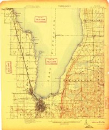
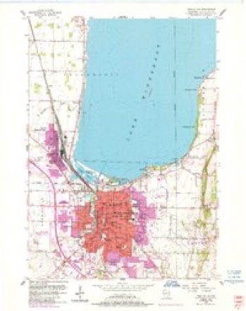
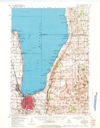
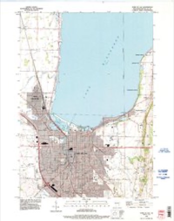
7 surveys from 13 printed sheetsMatched by testing this settlement's coordinate against the published boundary of every sheet in the United States Geological Survey's historical collection. Each opens the scanned sheet at the Survey.
- 1910 USGS Fond du Lac quadrangle1:62500, 2 printings
- 1955 USGS Fond Du Lac quadrangle1:24000, 2 printings
- 1955 USGS Fond Du Lac quadrangle1:62500, 2 printings
- 1957 USGS Madison quadrangle1:250000, 3 printings
- 1960 USGS Madison quadrangle1:250000, 2 printings
- 1980 USGS Fond Du Lac quadrangle1:100000
- 1992 USGS Fond Du Lac quadrangle1:24000



In the county-history sources
6,126 words on this townshipThe History of Fond Du Lac County, Wisconsin, published 1880 names this settlement in its chapter on Taycheedah Town. These are the passages that mention it, exactly as the scans read.
Albert. In politics, Mr. Waguer is identified with the Democratic party, and is indi.ssolubly connected with the history and progress of that party in Fond du L.ic and surroundin'.? counties. Hi' has displayed at all times great independence, never yielding his own deliberate judgment to popular applause, or sacrificing his own convictions to the prevailing sentiments of the day.
Passage source: The History of Fond Du Lac County, Wisconsin, published 1880.
JOJSEPH WA(jrNER, Jr.. grain merchant, and station agent at Calvary station; was born in what is now the town of Marshfield,'Fond du Lac Co., Wis., Oct. 9, 1841. He is the son of Hon. Joseph Wagner, of Marshfield, who was for a number of years a member of the Wisconsin Assembly, and a member of the Senate in 18V1 and 1873. Joseph was educated at the Troy Academy, Troy, N. Y. He was married in Albany, N. Y. to Miss A. Updyke ; they have four children - Joseph, Marion, George and Addie. Mr. Wagner has been station agent at Calvary station about seven years. He is extensively engaged in the grain business. Is a Democrat in politics.
Passage source: The History of Fond Du Lac County, Wisconsin, published 1880.
MICHAKL FITZliiERAIiD, farmer, Sec. 4 ; P. 0. Taycheedah ; was born in County Cork, Ireland, Sept. 10, 1815 ; in 1845, he emigrated to America; lived in Middletown, Conn., one year, at the end of which time he went to Stockbridge, Mass., where he resided until 1855. In 1853, he married in Pittsfield, Mass., Abbie Shay; she was born in County Cork, Ireland; came to America in 1845; in 1855, they came West, and settled in the town of Forest, Fond du Lac Co., Wis.; they lived in Forest one year, then removed to where they now reside ; their children are Annie, who was educated at the high schools in Fond du Lac, and has taught school for about eight years, she was born in Stockbridge, Mass. ; Michael, born-in the tiwn of Forest, Fond du Lac Co., Wis., is proprietor of general repair and blacksmith .shop, Taycheedah ; Richard, born in the town of Forest ; Mary, born in the town of Taycheedah ; William and Abbie, also born in Taycheedah ; the deceased children are Maggie and Johnnie ; Mr. Fitzgerald owns eighty acres of land, finely improved, and desirably located ; he is a public-spirited man, possessed of much energv and enterprise. In politics. Democrat.
Passage source: The History of Fond Du Lac County, Wisconsin, published 1880.
Machine-read from a century-old scan, so expect the errors a machine makes: misspelled names, dropped words, stray characters.
Read the whole chapter on Taycheedah Town - it names this place 28 more 28 times.
Fires near this place
17 since 1993Regional context, not property-specific evidence. The federal wildfire occurrence database lists 17 fires within 5 miles of Taycheedah between 1993 and 2020, burning about 24 acres in total. None started naturally. None was recorded as arson. Distance is straight-line from the map coordinates, so a fire counted here may appear on a neighbouring settlement's page as well.
| Reported cause | Fires |
|---|---|
| Missing data/not specified/undetermined | 9 |
| Debris and open burning | 4 |
| Smoking | 1 |
| Power generation/transmission/distribution | 1 |
| Misuse of fire by a minor | 1 |
| Equipment and vehicle use | 1 |
The most recent of them, most recent first, with the day each was reported and the service that recorded it.
| Date | Cause | Size | Reported by | Name on the report |
|---|---|---|---|---|
| 20 September 2018 | Debris and open burning | under an acre | Wisconsin Department of Natural Resources | 63 |
| 6 July 2018 | Power generation/transmission/distribution | 1.0 acres | Wisconsin Department of Natural Resources | 184343 |
| 30 June 2020 | Missing data/not specified/undetermined | under an acre | Wisconsin Department of Natural Resources | 74 |
| 18 May 2018 | Missing data/not specified/undetermined | under an acre | Wisconsin Department of Natural Resources | 2018040 |
| 10 May 2018 | Missing data/not specified/undetermined | 1.0 acres | Wisconsin Department of Natural Resources | 183034 |
| 1 May 2018 | Missing data/not specified/undetermined | 15 acres | Wisconsin Department of Natural Resources | 2018037 |
| 5 April 1993 | Equipment and vehicle use | under an acre | Wisconsin Department of Natural Resources | not named |
| 28 April 2018 | Debris and open burning | under an acre | Wisconsin Department of Natural Resources | 37 |
Settlements close enough to share some of these fires:
Mines and quarries near this place
6 within 5 milesRegional context, not property-specific evidence. The federal mineral resources record lists 6 workings within 5 miles of Taycheedah: 3 unknowns, 2 past producers, 1 producer. 1 still produces. What was taken out: Sand and Gravel, Construction, Stone, Stone, Crushed/Broken. Distance is straight-line from the map coordinates, so a quarry counted here may appear on a neighbouring settlement's page as well.
| Where | Site | Commodity | Status | Recorded |
|---|---|---|---|---|
| Own Crews | Stone | Unknown | ||
| Silica Quarry | Stone, Crushed/Broken | Past Producer | ||
| Abler Pit | Sand and Gravel, Construction | Producer | ||
| Fond Du Lac Pit | Sand and Gravel, Construction | Unknown | ||
| Fuhrmann Pit | Sand and Gravel, Construction | Unknown | ||
| John L. Schmitz Pit | Sand and Gravel, Construction | Past Producer |
Storms near this place
6 since 1997Regional context, not property-specific evidence. The National Weather Service names Taycheedah in 6 storm reports between 1997 and 2022: 4 thunderstorm wind, 1 hail, 1 flood. No death or injury is recorded in these reports. Each account below is quoted exactly as the forecast office filed it, from the NOAA Storm Events Database, and each date opens the federal record of that event.
| When | Event | Place named | Harm | What the report says |
|---|---|---|---|---|
| March 2019 | Flood | Taycheedah | $100,000 | Ice jams on the various branches of the Fond du Lac river caused significant flooding in the city of Fond du Lac. Most east/west roads across the river were closed due to flooding. A large section of highway 23 was flooded and closed in Fond du Lac. Hundreds of people were evacuated from homes and two apartment buildings. Water rescues were needed for those who were stranded in their homes or vehicles. The American Red Cross opened shelters to aid the flood victims. Schools were cancelled on Friday, March 15th. |
| July 2006 | Thunderstorm Wind | Taycheedah | $5,000 | Trees and power lines down. |
| July 2022 | Thunderstorm Wind | Taycheedah | $1,000 | Several small branches down. |
| September 1997 | Thunderstorm Wind | Taycheedah | $500 | no account filed |
| June 2013 | Hail | Taycheedah | - | A trained spotter reported 1 inch diameter hail fell in Taychedah with severe thunderstorms that moved through during the afternoon hours. |
| September 2005 | Thunderstorm Wind | Taycheedah | - | no account filed |
Nearest settlements
The eight closest, with where each one stands in the county. Distances are straight-line, computed from the Geographic Names Information System coordinates.
| Map | Place | Distance | Sheets |
|---|---|---|---|
| Hopokoekau Beach | 1.0 miles | 13 | |
| Peebles | 1.1 miles | 13 | |
| Luco | 1.4 miles | 13 | |
| Minawa Beach | 2.7 miles | 13 | |
| Linden Beach | 3.3 miles | 12 | |
| Saint Peter | 3.4 miles | 12 | |
| Fond du Lac | 3.7 miles | 13 | |
| Bergen Beach | 3.8 miles | 12 |
Elsewhere
Matched on this settlement's Geographic Names Information System number rather than its name, so it cannot be a different place of the same name in another state.
| Wikipedia article on Taycheedah | An encyclopaedic summary. Its text is share-alike, so it is linked here rather than copied. |
| Wikidata item Q7689765 | The structured record the population and elevation above come from. Public domain (CC0). |
Provenance
This settlement is recorded in the Geographic Names Information System as feature 1575265. The sheet list is computed by point-in-boundary test against the United States Geological Survey's historical topographic inventory. Both are works of the United States government and carry no copyright under 17 U.S.C. 105.
Wildfire. Short, Karen C. 2022. Spatial wildfire occurrence data for the United States, 1992-2020 [FPA_FOD_20221014]. 6th Edition. Fort Collins, CO: Forest Service Research Data Archive. https://doi.org/10.2737/RDS-2013-0009.6 Collected with United States Government funding and usable without additional permissions or fees.
Mines and quarries. USGS Mineral Resources Data System (MRDS) https://mrdata.usgs.gov/mrds/ A work of the United States government, no copyright under 17 U.S.C. 105.
Storms. NOAA National Centers for Environmental Information, Storm Events Database https://www.ncei.noaa.gov/stormevents/ A work of the United States government, no copyright under 17 U.S.C. 105. Narratives are quoted verbatim from the National Weather Service report and are not edited or summarised.