 Block
Racine, Wisconsin
15 topographic sheets cover this place, the earliest surveyed in 1892 and the latest in 1980. It stands in Racine City. It lies in ZIP code area 53403. It stands on Root River. The Survey maps it on the Racine South quadrangle. 77,816 people lived here at the 2020 count. It stands 617 feet above sea level.
On record in Racine
Buildings and businesses the archive holds for this place. Each opens its own page, with the source record it came from.
On the National Register 12 of 44 shown
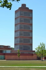 Johnson, S.C., and Son Administration Building and Research TowerNational Historic Landmark · listed 1974
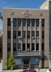 Badger Buildinglisted 1980
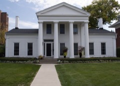 Eli R. Cooley Houselisted 1973
 Driver, Thomas, and Sons Manufacturing Companylisted 2004
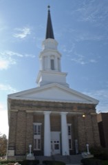 First Presbyterian Churchlisted 1973
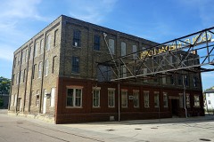 Gold Medal Camp Furniture Companylisted 2019
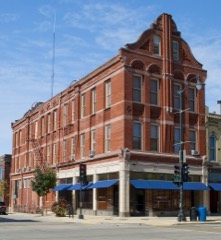 Hall, Chauncey, Buildinglisted 1980
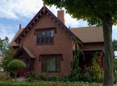 Hall, Chauncey, Houselisted 1976
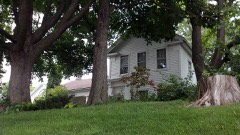 Hansen Houselisted 1979
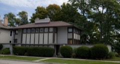 Thomas P. Hardy Houselisted 1974
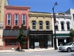 Historic Sixth Street Business Districtlisted 1988
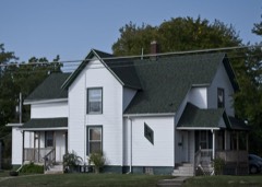 Peter Johnson Houselisted 1986
Population over time
3 figuresRacine grew from 5,107 to 77,816 between 1850 and 2020. These are the recorded population figures Wikidata holds for this place, reached through the Geographic Names Information System number this page is keyed on rather than by name, so they belong to this place and not to another of the same name. Most are census counts, but not all are: an early figure may be a founding or settlement estimate, and an estimate published within five years of a census is left out. The change column is computed, and is left blank where more than 20 years separate a figure from the one before it, because a gap that long is not a change between two counts.
| Year | People | Change |
|---|---|---|
| 1850 | 5,107 | |
| 2010 | 78,860 | |
| 2020 | 77,816 | -1,044 (-1%) |
Topographic sheets covering this place
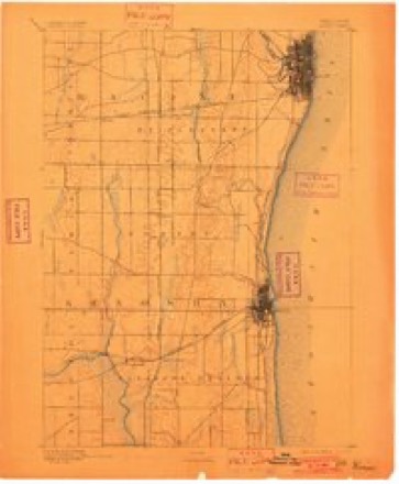
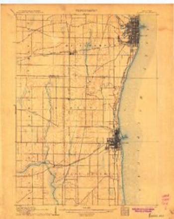
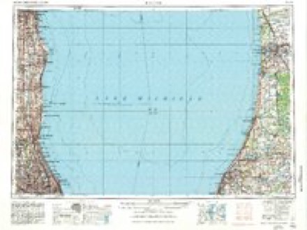
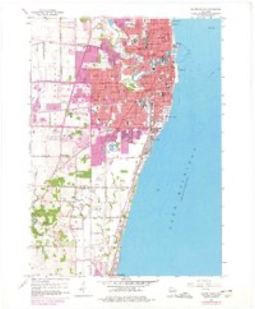
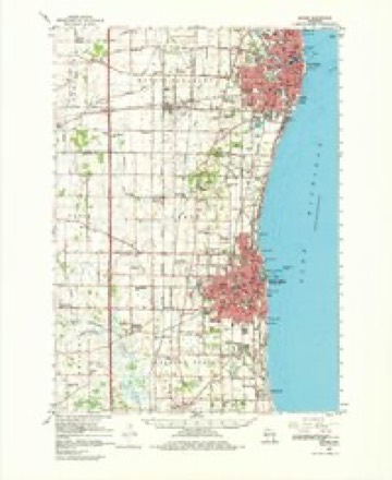
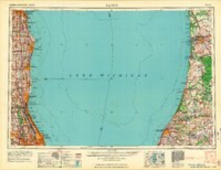
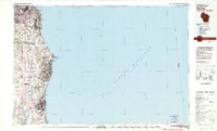
7 surveys from 15 printed sheetsMatched by testing this settlement's coordinate against the published boundary of every sheet in the United States Geological Survey's historical collection. Each opens the scanned sheet at the Survey.
- 1892 USGS Racine quadrangle1:62500, 2 printings
- 1905 USGS Racine quadrangle1:62500, 3 printings
- 1958 USGS Racine quadrangle1:250000, 3 printings
- 1958 USGS Racine South quadrangle1:24000, 3 printings
- 1959 USGS Racine quadrangle1:62500, 2 printings
- 1962 USGS Racine quadrangle1:250000
- 1980 USGS Racine quadrangle1:100000
In the county-history sources
16,304 words on this townshipOfficial Record of the Old Settlers Society of Racine County, Wisconsin : with the Historical Address of Charles E. Dyer, Delivered at Burlington, Wis., February 22, 1871, published 1871 names this settlement in its chapter on Racine City. These are the passages that mention it, exactly as the scans read.
Resolved , That we, the early settlers of Racine county, extend a cordial greeting to each other on this, our first gathering, to revive the recollections and renew the friendships of the early days ; and we would return devout thanks to Him who has sustained and blessed us hitherto.
Passage source: Official Record of the Old Settlers Society of Racine County, Wisconsin : with the Historical Address of Charles E. Dyer, Delivered at Burlington, Wis., February 22, 1871, published 1871.
Resolved , That we greet with hearty welcome, all our fellow citizens, of every nationality, who, though at a later day, have come in to cast their lot with us, and to aid, we trust, in building up a community not unworthy of a position in the u Great Republic;" and hope they may perpetuate the remembrance of the early days in the settlement of this county by annual gatherings like this, after we shall have passed to that land from which there is no return.
Passage source: Official Record of the Old Settlers Society of Racine County, Wisconsin : with the Historical Address of Charles E. Dyer, Delivered at Burlington, Wis., February 22, 1871, published 1871.
Resolved , That for beauty of landscape, fertility of soil, and easy access to market, for agricultural improvement? for improved stock, for general thrift, intelligence and morals, Racine county will, in our judgment, compare favorably with any other in the State.
Passage source: Official Record of the Old Settlers Society of Racine County, Wisconsin : with the Historical Address of Charles E. Dyer, Delivered at Burlington, Wis., February 22, 1871, published 1871.
Machine-read from a century-old scan, so expect the errors a machine makes: misspelled names, dropped words, stray characters.
Read the whole chapter on Racine City - it names this place 123 more 123 times.
Fires near this place
23 since 2018Regional context, not property-specific evidence. The federal wildfire occurrence database lists 23 fires within 5 miles of Racine between 2018 and 2020, burning about 8 acres in total. None started naturally. 1 was recorded as arson. Distance is straight-line from the map coordinates, so a fire counted here may appear on a neighbouring settlement's page as well.
| Reported cause | Fires |
|---|---|
| Missing data/not specified/undetermined | 14 |
| Debris and open burning | 7 |
| Smoking | 1 |
| Arson/incendiarism | 1 |
The most recent of them, most recent first, with the day each was reported and the service that recorded it.
| Date | Cause | Size | Reported by | Name on the report |
|---|---|---|---|---|
| 4 September 2020 | Missing data/not specified/undetermined | under an acre | Wisconsin Department of Natural Resources | 203640 |
| 23 September 2018 | Missing data/not specified/undetermined | under an acre | Wisconsin Department of Natural Resources | 184317 |
| 7 August 2018 | Missing data/not specified/undetermined | under an acre | Wisconsin Department of Natural Resources | 183671 |
| 10 July 2018 | Arson/incendiarism | 1.0 acres | Wisconsin Department of Natural Resources | 1806005 |
| 6 June 2020 | Missing data/not specified/undetermined | under an acre | Wisconsin Department of Natural Resources | 202165 |
| 15 June 2018 | Debris and open burning | under an acre | Wisconsin Department of Natural Resources | 1801102 |
| 6 May 2018 | Missing data/not specified/undetermined | under an acre | Wisconsin Department of Natural Resources | 181717 |
| 6 May 2018 | Missing data/not specified/undetermined | under an acre | Wisconsin Department of Natural Resources | 181719 |
Settlements close enough to share some of these fires:
Mines and quarries near this place
1 within 5 milesRegional context, not property-specific evidence. The federal mineral resources record lists 1 working within 5 miles of Racine: 1 unknown. None of them still produces. What was taken out: Sand and Gravel, Construction. Distance is straight-line from the map coordinates, so a quarry counted here may appear on a neighbouring settlement's page as well.
| Where | Site | Commodity | Status | Recorded |
|---|---|---|---|---|
| Rochester Pit | Sand and Gravel, Construction | Unknown |
Storms near this place
37 since 1993Regional context, not property-specific evidence. The National Weather Service names Racine in 37 storm reports between 1993 and 2006: 13 hail, 8 lightning, 7 thunderstorm wind, 4 flood. No death or injury is recorded in these reports. Each account below is quoted exactly as the forecast office filed it, from the NOAA Storm Events Database, and each date opens the federal record of that event.
| When | Event | Place named | Harm | What the report says |
|---|---|---|---|---|
| July 2000 | Flash Flood | Racine | $1,300,000 | no account filed |
| July 2000 | Thunderstorm Wind | Racine | $150,000 | no account filed |
| October 2001 | Hail | Racine | $100,000 | no account filed |
| August 1995 | Thunderstorm Wind | Racine | $100,000 | no account filed |
| October 2001 | Flood | Racine | $50,000 | no account filed |
| August 1993 | Thunderstorm Wind | Racine | $50,000 | no account filed |
| July 2006 | Lightning | Racine | $10,000 | Lightning struck a home on in the 1600 block of Edgewood Ave., resulting in a roof fire. |
| July 2004 | Thunderstorm Wind | Racine | $10,000 | no account filed |
| September 2001 | Lightning | Racine | $9,000 | no account filed |
| July 2006 | Thunderstorm Wind | Racine | $5,000 | Trees down. |
| June 2002 | Lightning | Racine | $5,000 | no account filed |
| August 2002 | Lightning | Racine | $5,000 | no account filed |
| April 1996 | Thunderstorm Wind | Racine | $5,000 | no account filed |
| May 2006 | Hail | Racine | $3,000 | Wind driven hail dented cars and siding. |
| July 2006 | Lightning | Racine | $3,000 | Lightning hit a tree, which then fell onto a car in the city of Racine. |
| June 1998 | Lightning | Racine | $3,000 | no account filed |
| July 2006 | Lightning | Racine | $2,000 | Lightning struck the chimney of a home in the 1000 block on Main St. in Racine. There was no fire, but the top portion of the chimney was destroyed, with bricks littering the nearby yard and sidewalk. The time of occurrence, 08CST is only an estimate - all that is known is that the lightning strike occurred during the morning hours. |
| September 1997 | Flood | Racine | $1,000 | no account filed |
| September 1997 | Strong Wind | Racine | $1,000 | no account filed |
| July 1997 | Lightning | Racine | $100 | no account filed |
| May 2006 | Hail | Racine | - | no account filed |
| May 2006 | Hail | Racine | - | no account filed |
| May 2006 | Funnel Cloud | Racine | - | no account filed |
| August 2005 | Hail | Racine | - | no account filed |
| August 2005 | Hail | Racine | - | no account filed |
| May 2004 | Hail | Racine | - | no account filed |
| May 2004 | Hail | Racine | - | no account filed |
| June 2004 | Hail | Racine | - | no account filed |
| June 2004 | Hail | Racine | - | no account filed |
| June 2004 | Thunderstorm Wind | Racine | - | no account filed |
| November 2003 | Heavy Rain | Racine | - | no account filed |
| June 2002 | Hail | Racine | - | no account filed |
| June 2002 | Hail | Racine | - | no account filed |
| August 2002 | Funnel Cloud | Racine | - | no account filed |
| May 2000 | Hail | Racine | - | no account filed |
| July 2000 | Flood | Racine | - | no account filed |
| April 1999 | Flood | Racine | - | no account filed |
Nearest settlements
The eight closest, with where each one stands in the county. Distances are straight-line, computed from the Geographic Names Information System coordinates.
| Map | Place | Distance | Sheets |
|---|---|---|---|
| North Bay | 2.7 miles | 16 | |
| Elmwood Park | 3.1 miles | 15 | |
| Ives | 3.3 miles | 16 | |
| Wind Point | 4.1 miles | 16 | |
| Mount Pleasant | 4.3 miles | 15 | |
| Waxdale | 5.4 miles | 16 | |
| Sturtevant | 6.2 miles | 16 | |
| Crestview | 6.4 miles | 16 |
Elsewhere
Matched on this settlement's Geographic Names Information System number rather than its name, so it cannot be a different place of the same name in another state.
| Wikipedia article on Racine | An encyclopaedic summary. Its text is share-alike, so it is linked here rather than copied. |
| Wikidata item Q40340 | The structured record the population and elevation above come from. Public domain (CC0). |
Provenance
This settlement is recorded in the Geographic Names Information System as feature 1572015. The sheet list is computed by point-in-boundary test against the United States Geological Survey's historical topographic inventory. Both are works of the United States government and carry no copyright under 17 U.S.C. 105.
Wildfire. Short, Karen C. 2022. Spatial wildfire occurrence data for the United States, 1992-2020 [FPA_FOD_20221014]. 6th Edition. Fort Collins, CO: Forest Service Research Data Archive. https://doi.org/10.2737/RDS-2013-0009.6 Collected with United States Government funding and usable without additional permissions or fees.
Mines and quarries. USGS Mineral Resources Data System (MRDS) https://mrdata.usgs.gov/mrds/ A work of the United States government, no copyright under 17 U.S.C. 105.
Storms. NOAA National Centers for Environmental Information, Storm Events Database https://www.ncei.noaa.gov/stormevents/ A work of the United States government, no copyright under 17 U.S.C. 105. Narratives are quoted verbatim from the National Weather Service report and are not edited or summarised.