 Block
Retreat, Wisconsin
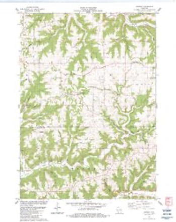
18 topographic sheets cover this place, the earliest surveyed in 1903 and the latest in 1985. It stands in Sterling town. It lies in ZIP code area 54624. It lies near Anderson Ridge. The Survey maps it on the Retreat quadrangle. It stands 1,280 feet above sea level.
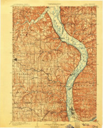
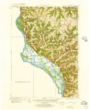
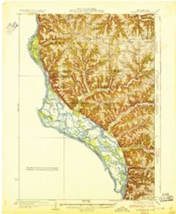
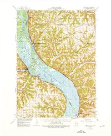
Topographic sheets covering this place
10 surveys from 18 printed sheetsMatched by testing this settlement's coordinate against the published boundary of every sheet in the United States Geological Survey's historical collection. Each opens the scanned sheet at the Survey.
- 1903 USGS Waukon quadrangle1:125000, 5 printings
- 1929 USGS Ferryville quadrangle1:62500, 2 printings
- 1932 USGS Ferryville quadrangle1:62500
- 1958 USGS La Crosse quadrangle1:250000, 2 printings
- 1961 USGS La Crosse quadrangle1:250000
- 1965 USGS La Crosse quadrangle1:250000
- 1966 USGS Ferryville quadrangle1:62500, 2 printings
- 1976 USGS La Crosse quadrangle1:250000
- 1983 USGS Retreat quadrangle1:24000
- 1985 USGS Decorah quadrangle1:100000, 2 printings




In the county-history sources
12,001 words on this townshipHistory of Vernon County, Wisconsin .., published 1884 names this settlement in its chapter on Sterling Town. These are the passages that mention it, exactly as the scans read.
Retreat school district first had a school taught in a log house belonging to the widow Clark. This school was taught by Alexander Latshaw. The first school building proper erected was on the southwest quarter of section 10. It was a grout house. Aframe house was erected in 187-3, located on section 10. Thomas Tenney was the first teacher.
Passage source: History of Vernon County, Wisconsin .., published 1884.
In 1867 the Methodists organized another class at the Retreat school house. The following were the first members : E. B. Hyde and wife, William Barr and wife, Ammon Davis and wife, Mrs. V. L. Davis, Mattie Davis and Mrs J. M. Hill. William Barr was class leader. This class belonged to the De Soto circuit. In 1872 a church was built at Retreat; it was a frame house built at an expense of $l,.300. In 1884 this Church numbered sixtyfive. The following ministers have served this charge: Rev. Bushby, Rev. H. J. Walker, Rev. Th(m\as ]\Iaiiuel, Rev. D. L. Hubbard, Rev. D. Ciingman, Rev H. D. Jenks. W. W. Kurd and J. F. Nuzum.
Passage source: History of Vernon County, Wisconsin .., published 1884.
In 1873 a Methodist class was formed at the school house on section 5, town 1 1, range 5, by Delos Hubbard, a minister of the De.Soto circuit. This class numbered twenty-three, and was under the leadership of E. B. Alien. In 1874 a church building was provided; this was located on section 4, town -11, lange 5. In 1884 the class numbered about twenty. The following ministers have preached for this Church: A. D. Chase, John Davis, John W. McKay, William McMillan, Robert Smith, John Medd, James Phelps and R. S. Mocket.
Passage source: History of Vernon County, Wisconsin .., published 1884.
Machine-read from a century-old scan, so expect the errors a machine makes: misspelled names, dropped words, stray characters.
Read the whole chapter on Sterling Town - it names this place 17 more 17 times.
Fires near this place
9 since 1996Regional context, not property-specific evidence. The federal wildfire occurrence database lists 9 fires within 5 miles of Retreat between 1996 and 2018, burning about 14 acres in total. None started naturally. None was recorded as arson. Distance is straight-line from the map coordinates, so a fire counted here may appear on a neighbouring settlement's page as well.
| Reported cause | Fires |
|---|---|
| Debris and open burning | 6 |
| Missing data/not specified/undetermined | 2 |
| Equipment and vehicle use | 1 |
The most recent of them, most recent first, with the day each was reported and the service that recorded it.
| Date | Cause | Size | Reported by | Name on the report |
|---|---|---|---|---|
| 24 April 2018 | Missing data/not specified/undetermined | 1.8 acres | Wisconsin Department of Natural Resources | COLOMBUS FIRE |
| 24 April 2018 | Debris and open burning | under an acre | Wisconsin Department of Natural Resources | DESOTO FIRE |
| 24 April 2018 | Debris and open burning | 4.0 acres | Wisconsin Department of Natural Resources | 1800038 |
| 11 April 1996 | Debris and open burning | 4.2 acres | Wisconsin Department of Natural Resources | not named |
| 1 April 2003 | Debris and open burning | under an acre | Wisconsin Department of Natural Resources | not named |
| 3 March 2000 | Debris and open burning | under an acre | Wisconsin Department of Natural Resources | not named |
| 14 March 2012 | Debris and open burning | 1.0 acres | Wisconsin Department of Natural Resources | COLOMBUS |
| 24 October 2016 | Equipment and vehicle use | under an acre | Wisconsin Department of Natural Resources | MCQUEEN HILL FIRE |
Settlements close enough to share some of these fires:
Mines and quarries near this place
1 within 5 milesRegional context, not property-specific evidence. The federal mineral resources record lists 1 working within 5 miles of Retreat: 1 past producer. None of them still produces. What was taken out: Stone, Crushed/Broken. Distance is straight-line from the map coordinates, so a quarry counted here may appear on a neighbouring settlement's page as well.
| Where | Site | Commodity | Status | Recorded |
|---|---|---|---|---|
| Kraemer-Hanson Quarry | Stone, Crushed/Broken | Past Producer |
Storms near this place
8 since 1998Regional context, not property-specific evidence. The National Weather Service names Retreat in 8 storm reports between 1998 and 2024: 3 thunderstorm wind, 2 tornado, 2 hail, 1 flash flood. No death or injury is recorded in these reports. Each account below is quoted exactly as the forecast office filed it, from the NOAA Storm Events Database, and each date opens the federal record of that event.
| When | Event | Place named | Harm | What the report says |
|---|---|---|---|---|
| June 1998 | Tornado (F1) | Retreat | $100,000 | no account filed |
| June 1998 | Thunderstorm Wind | Retreat | $15,000 | no account filed |
| July 2016 | Tornado (EF0) | Retreat | $5,000 | An EF-0 tornado touched down in rural Vernon County near Retreat. The tornado was on the ground for about three-quarters of a mile and damaged trees and crops along its path. |
| May 2024 | Thunderstorm Wind | Retreat | $1,000 | The public reported tree limbs down and shingles blown off. The report was relayed via mPING. |
| May 2004 | Hail | Retreat | $800 | no account filed |
| August 2002 | Thunderstorm Wind | Retreat | $750 | no account filed |
| June 2011 | Flash Flood | Retreat | - | Slow moving thunderstorms produced some locally heavy rain that pushed Cooley Creek out of its banks along Bohland Hollow Road near Taylor Road east of De Soto. |
| June 2008 | Hail | Retreat | - | no account filed |
Nearest settlements
The eight closest, with where each one stands in the county. Distances are straight-line, computed from the Geographic Names Information System coordinates.
| Map | Place | Distance | Sheets |
|---|---|---|---|
| West Prairie | 3.4 miles | 18 | |
| Red Mound | 3.9 miles | 18 | |
| Purdy | 5.2 miles | 11 | |
| Fargo | 6.6 miles | 10 | |
| Victory | 7.5 miles | 18 | |
| Romance | 8.1 miles | 11 | |
| Bud | 9.2 miles | 14 | |
| Liberty Pole | 9.6 miles | 10 |
Elsewhere
Matched on this settlement's Geographic Names Information System number rather than its name, so it cannot be a different place of the same name in another state.
| Wikipedia article on Retreat | An encyclopaedic summary. Its text is share-alike, so it is linked here rather than copied. |
| Wikidata item Q7316914 | The structured record the population and elevation above come from. Public domain (CC0). |
Provenance
This settlement is recorded in the Geographic Names Information System as feature 1572222. The sheet list is computed by point-in-boundary test against the United States Geological Survey's historical topographic inventory. Both are works of the United States government and carry no copyright under 17 U.S.C. 105.
Wildfire. Short, Karen C. 2022. Spatial wildfire occurrence data for the United States, 1992-2020 [FPA_FOD_20221014]. 6th Edition. Fort Collins, CO: Forest Service Research Data Archive. https://doi.org/10.2737/RDS-2013-0009.6 Collected with United States Government funding and usable without additional permissions or fees.
Mines and quarries. USGS Mineral Resources Data System (MRDS) https://mrdata.usgs.gov/mrds/ A work of the United States government, no copyright under 17 U.S.C. 105.
Storms. NOAA National Centers for Environmental Information, Storm Events Database https://www.ncei.noaa.gov/stormevents/ A work of the United States government, no copyright under 17 U.S.C. 105. Narratives are quoted verbatim from the National Weather Service report and are not edited or summarised.