 Block
Troy Center, Wisconsin
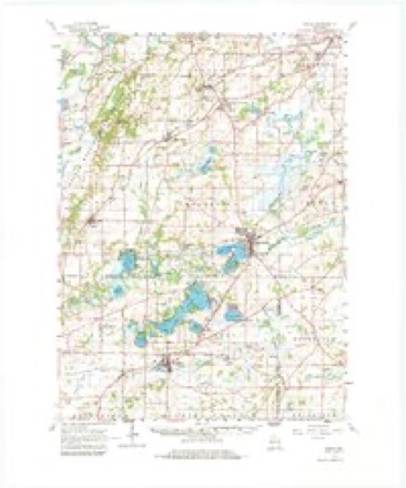
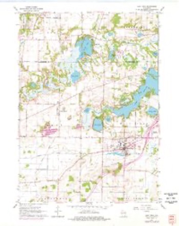
24 topographic sheets cover this place, the earliest surveyed in 1892 and the latest in 1980. It stands in Troy town. It lies in ZIP code area 53120. The Survey maps it on the East Troy quadrangle. It stands 889 feet above sea level.
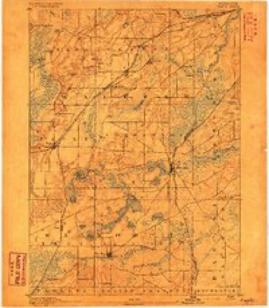
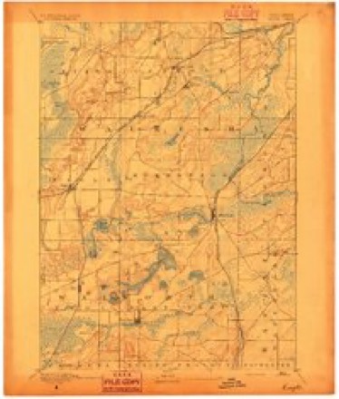
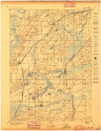
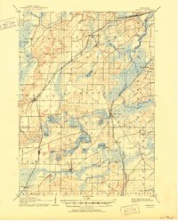
Topographic sheets covering this place
11 surveys from 24 printed sheetsMatched by testing this settlement's coordinate against the published boundary of every sheet in the United States Geological Survey's historical collection. Each opens the scanned sheet at the Survey.
- 1892 USGS Eagle quadrangle1:62500
- 1894 USGS Eagle quadrangle1:62500
- 1897 USGS Eagle quadrangle1:62500
- 1906 USGS Eagle quadrangle1:62500, 6 printings
- 1954 USGS Rockford quadrangle1:250000
- 1955 USGS Rockford quadrangle1:250000
- 1958 USGS Rockford quadrangle1:250000, 4 printings
- 1960 USGS Eagle quadrangle1:62500, 3 printings
- 1960 USGS East Troy quadrangle1:24000, 4 printings
- 1963 USGS Rockford quadrangle1:250000
- 1980 USGS Lake Geneva quadrangle1:100000





In the county-history sources
14,241 words on this townshipHistory of Walworth County, Wisconsin, Containing an Account of Its Settlement, Growth, Development and Resources...its War Record, Biographical Sketches, Portraits of Prominent Men and Early Settlers; the Whole Preceded by a History of Wisconsin...and an Abstract of Its Laws and Constitution.., published 1882 names this settlement in its chapter on Troy Town. These are the passages that mention it, exactly as the scans read.
Soldan Powers arrived in Troy May, 1837, and located his claim on Section 10 just north of the present village of Troy Center, At the first town meeting, April 5. 1842. Mr, Powers was honored by being elected to three "offices -School Commissioner, Highway Commissioner and Fence Viewer. Since the division of the town, he has' served fourteen terms as Town Clerk, besides filling various other offices. He was born June 14, 1805, in the town of Marshtield, Washington Co. , Vt., and received his education at the common schools and academies in the vicinity. After leaving Vei-mont, he resided three years in Franklin County, N. Y., two years in Orleans County, same State, two years in Jackson County, Mich., and came to Wisconsin in May. 1837, selecting a claim of 169 acres in Troy and settling tipon it. Dm-ing the first winters in Troy, he taught school, one at East Troy and one at Troy Center. His first school in the territory was taught at Whitewater, and was the first school of Whitewater. - In the fall of 1838, the first board of county officers was elected, and, as Walworth had not, at that time, been detached from Racine County, the retm-ns had to be made to Southport (now Kenosha), the county seat of Racine County. Mr. Powers, being a member of the election board, went on foot with the returns to Southport, aud at that place was unfortunately robbed by his fellow-lodger of all his cash, save 18 pence - a rather small amount for hotel bills and expenses home. In May, 1842, Mr. Powers married Miss Anna Flanders, of Stanstead, Canada East. Of their children now living, there are Levi P., Sarah A. (Mrs. E. Harrington, Kansas), Clarence L. and Mary A. (Mrs. W. C. Gregg. Troy).
Passage source: History of Walworth County, Wisconsin, Containing an Account of Its Settlement, Growth, Development and Resources...its War Record, Biographical Sketches, Portraits of Prominent Men and Early Settlers; the Whole Preceded by a History of Wisconsin...and an Abstract of Its Laws and Constitution.., published 1882.
Samuel L. Porter, a native of Long Island, settled in Troy in 1837, but afterward removed to Delavan and thence to Baraboo, Sauk County, where he died. Mr. Porter built and run a hotel for many years. That building, which he also occupied as a house, is still standing. Mr. Porter did not enter his land u.atil October 10, 1838, his claim being on Section 17.
Passage source: History of Walworth County, Wisconsin, Containing an Account of Its Settlement, Growth, Development and Resources...its War Record, Biographical Sketches, Portraits of Prominent Men and Early Settlers; the Whole Preceded by a History of Wisconsin...and an Abstract of Its Laws and Constitution.., published 1882.
The village of Troy Center is located on Sections 14 and 15 in the town of Troy. Previous to the coming of the railroad, a " neighborhood" had sprung up about half a mile north of the present village on Sections 10 and 11. The first settlers there were Soldan Powers, A. M. Perry and George W. Blanchard. in May. 1837. They, with the exception of Mr. Blanchard - who came from Milwaukee- came from (.hicago. The lirst house built was of logs, in size 10x12 feet, and covered with oak bark. This they lived in until a larger one, 10x22, one and a half stories high, was built, in which they lived dui'ing the following winter. A few dwellings were subsequently erected here, but the place assumed no importance until the coming of the railroad, in 1871, when the village was moved to its present location. The land on which the village is built was purchased from J. G. Briggs by some of the railroad officials in 1871, and platted into village lots. Charles Wyman erected the first house on the village plat, during the same year. J. A. Schwartz also built and opened a store at that time. Will- i;im H. Dewitt built a warehouse in 1871. lu November, 1870, N. M. Bunker and L. J. Smith associated themselves under the firm name of Bunker & Smith, and piu'chased this warehouse, which they are still operating, dealing in grain, wool, live stock, etc.
Passage source: History of Walworth County, Wisconsin, Containing an Account of Its Settlement, Growth, Development and Resources...its War Record, Biographical Sketches, Portraits of Prominent Men and Early Settlers; the Whole Preceded by a History of Wisconsin...and an Abstract of Its Laws and Constitution.., published 1882.
Machine-read from a century-old scan, so expect the errors a machine makes: misspelled names, dropped words, stray characters.
Read the whole chapter on Troy Town - it names this place 11 more 11 times.
Fires near this place
17 since 2010Regional context, not property-specific evidence. The federal wildfire occurrence database lists 17 fires within 5 miles of Troy Center between 2010 and 2020, burning about 63 acres in total. None started naturally. None was recorded as arson. Distance is straight-line from the map coordinates, so a fire counted here may appear on a neighbouring settlement's page as well.
| Reported cause | Fires |
|---|---|
| Missing data/not specified/undetermined | 10 |
| Debris and open burning | 7 |
The most recent of them, most recent first, with the day each was reported and the service that recorded it.
| Date | Cause | Size | Reported by | Name on the report |
|---|---|---|---|---|
| 5 August 2018 | Missing data/not specified/undetermined | under an acre | Wisconsin Department of Natural Resources | 79 |
| 11 August 2016 | Missing data/not specified/undetermined | under an acre | Wisconsin Department of Natural Resources | MCMILLER RANGE FIRE |
| 26 July 2018 | Missing data/not specified/undetermined | under an acre | Wisconsin Department of Natural Resources | 73 |
| 7 May 2020 | Missing data/not specified/undetermined | under an acre | Wisconsin Department of Natural Resources | 22 |
| 8 April 2018 | Debris and open burning | 4.0 acres | Wisconsin Department of Natural Resources | 201816 |
| 7 April 2012 | Missing data/not specified/undetermined | 4.6 acres | Wisconsin Department of Natural Resources | MCMILLER RANGE |
| 30 April 2018 | Missing data/not specified/undetermined | under an acre | Wisconsin Department of Natural Resources | 2018024 |
| 30 April 2018 | Missing data/not specified/undetermined | under an acre | Wisconsin Department of Natural Resources | 2018025 |
Settlements close enough to share some of these fires:
Mines and quarries near this place
3 within 5 milesRegional context, not property-specific evidence. The federal mineral resources record lists 3 workings within 5 miles of Troy Center: 1 unknown, 1 past producer, 1 occurrence. None of them still produces. What was taken out: Sand and Gravel, Construction. Distance is straight-line from the map coordinates, so a quarry counted here may appear on a neighbouring settlement's page as well.
| Where | Site | Commodity | Status | Recorded |
|---|---|---|---|---|
| Army Lake Sand Deposit | Sand and Gravel, Construction | Occurrence | ||
| Meyers Pit | Sand and Gravel, Construction | Unknown | ||
| Swoboda Pit | Sand and Gravel, Construction | Past Producer |
Storms near this place
4 since 1995Regional context, not property-specific evidence. The National Weather Service names Troy Center in 4 storm reports between 1995 and 2010: 3 thunderstorm wind, 1 funnel cloud. No death or injury is recorded in these reports. Each account below is quoted exactly as the forecast office filed it, from the NOAA Storm Events Database, and each date opens the federal record of that event.
| When | Event | Place named | Harm | What the report says |
|---|---|---|---|---|
| June 2009 | Thunderstorm Wind | Troy Center | $10,000 | A swath of thunderstorm wind damage was reported in northeast Walworth County. The swath was about 2 miles wide. Many large trees were uprooted or damaged. TA roof on a home in East Troy was damaged by tree debris. |
| June 1996 | Thunderstorm Wind | Troy Center | $10,000 | no account filed |
| August 1995 | Thunderstorm Wind | Troy Center | $10,000 | no account filed |
| July 2010 | Funnel Cloud | Troy Center | - | no account filed |
Nearest settlements
The eight closest, with where each one stands in the county. Distances are straight-line, computed from the Geographic Names Information System coordinates.
| Map | Place | Distance | Sheets |
|---|---|---|---|
| Troy | 2.4 miles | 24 | |
| Mayhews (historical) | 3.5 miles | 24 | |
| East Troy | 3.6 miles | 24 | |
| Adams | 3.6 miles | 32 | |
| Skyview Terrace | 3.7 miles | 24 | |
| Little Prairie | 4.4 miles | 32 | |
| Army Lake (historical) | 4.8 miles | 24 | |
| Lauderdale Shores | 5.5 miles | 32 |
Elsewhere
Matched on this settlement's Geographic Names Information System number rather than its name, so it cannot be a different place of the same name in another state.
| Wikipedia article on Troy Center | An encyclopaedic summary. Its text is share-alike, so it is linked here rather than copied. |
| Wikidata item Q7846792 | The structured record the population and elevation above come from. Public domain (CC0). |
Provenance
This settlement is recorded in the Geographic Names Information System as feature 1575689. The sheet list is computed by point-in-boundary test against the United States Geological Survey's historical topographic inventory. Both are works of the United States government and carry no copyright under 17 U.S.C. 105.
Wildfire. Short, Karen C. 2022. Spatial wildfire occurrence data for the United States, 1992-2020 [FPA_FOD_20221014]. 6th Edition. Fort Collins, CO: Forest Service Research Data Archive. https://doi.org/10.2737/RDS-2013-0009.6 Collected with United States Government funding and usable without additional permissions or fees.
Mines and quarries. USGS Mineral Resources Data System (MRDS) https://mrdata.usgs.gov/mrds/ A work of the United States government, no copyright under 17 U.S.C. 105.
Storms. NOAA National Centers for Environmental Information, Storm Events Database https://www.ncei.noaa.gov/stormevents/ A work of the United States government, no copyright under 17 U.S.C. 105. Narratives are quoted verbatim from the National Weather Service report and are not edited or summarised.